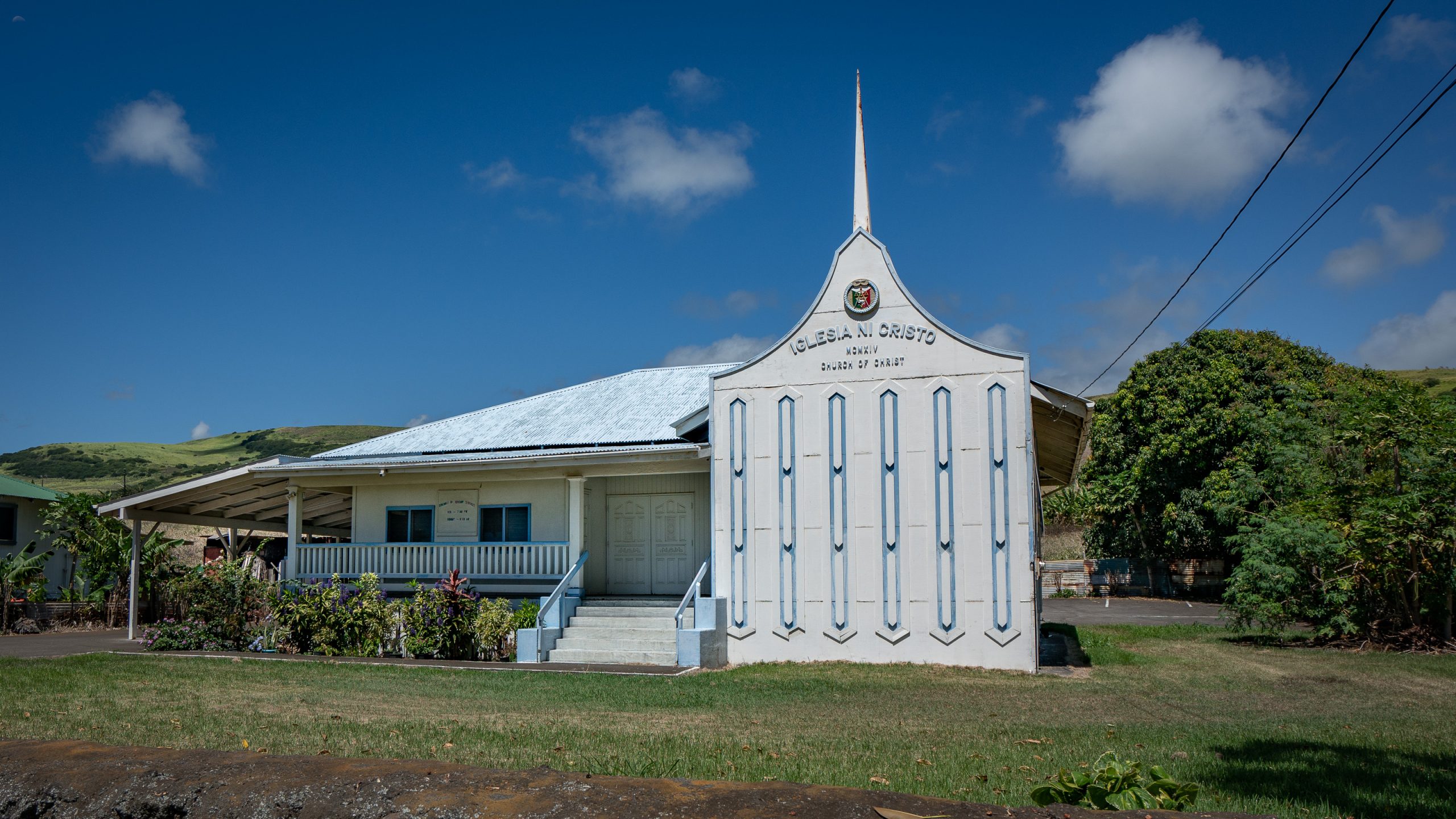
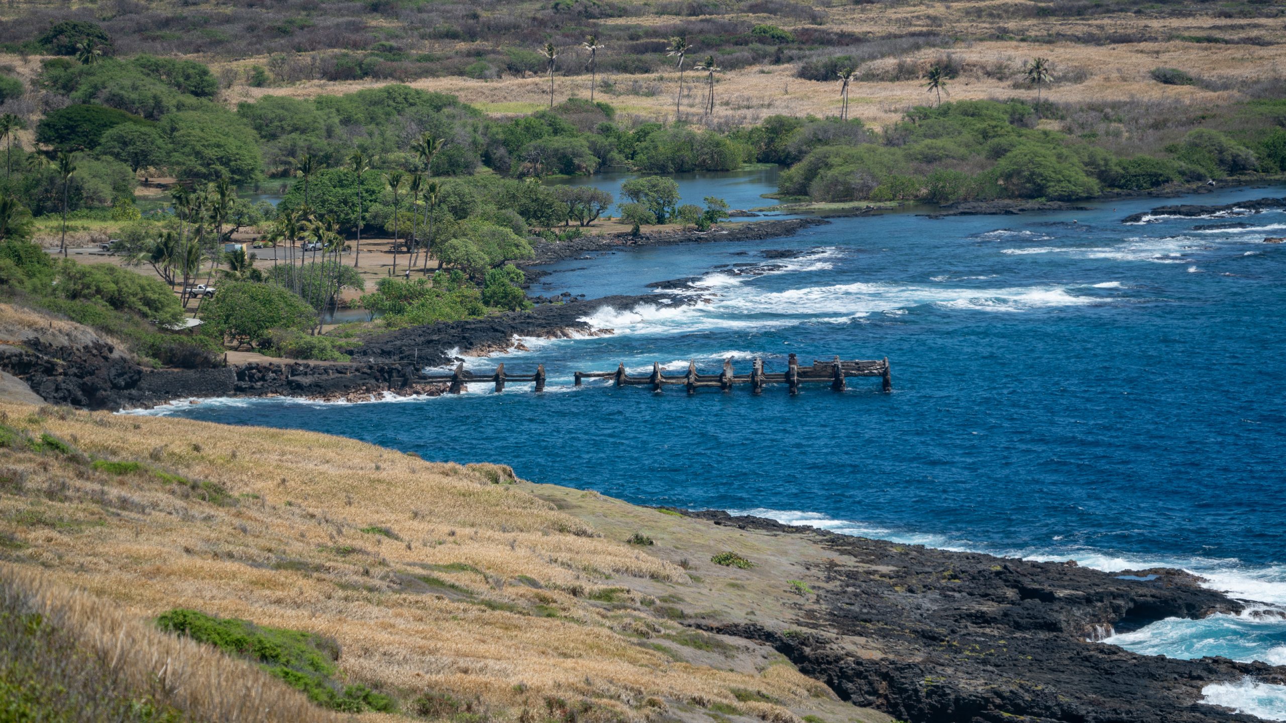
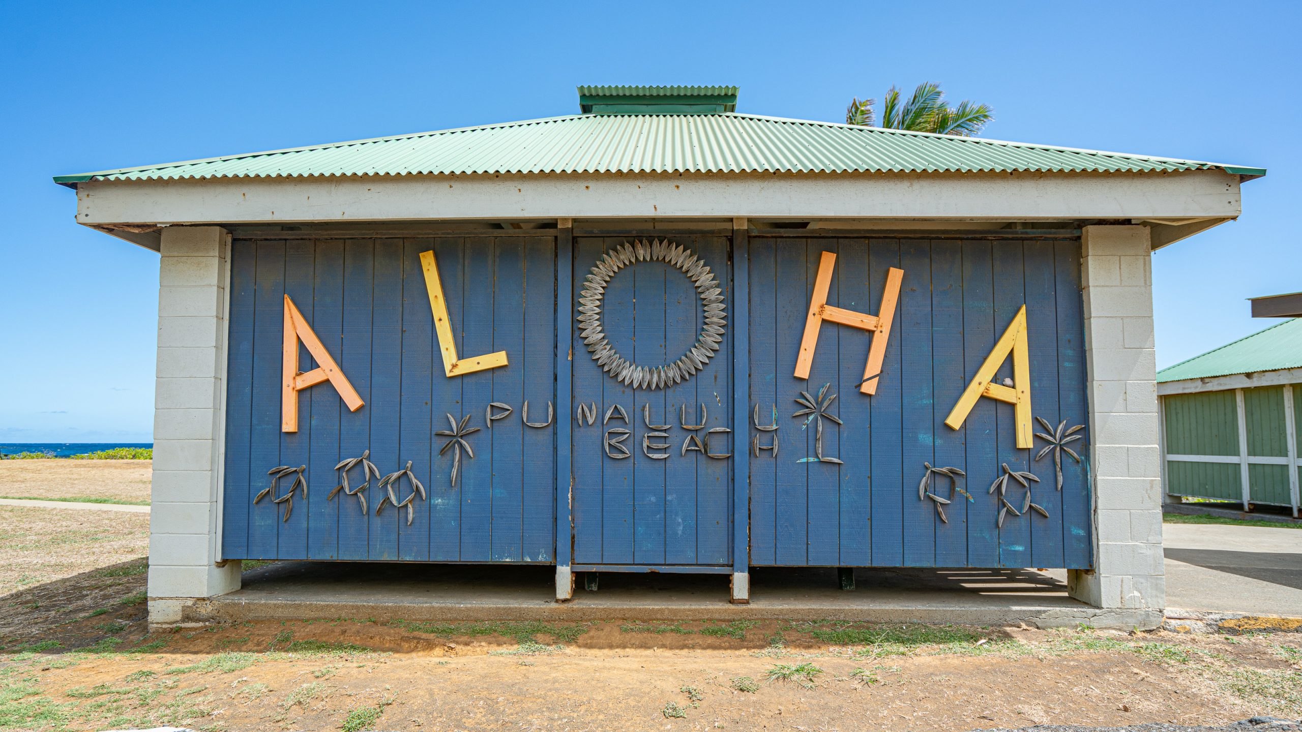
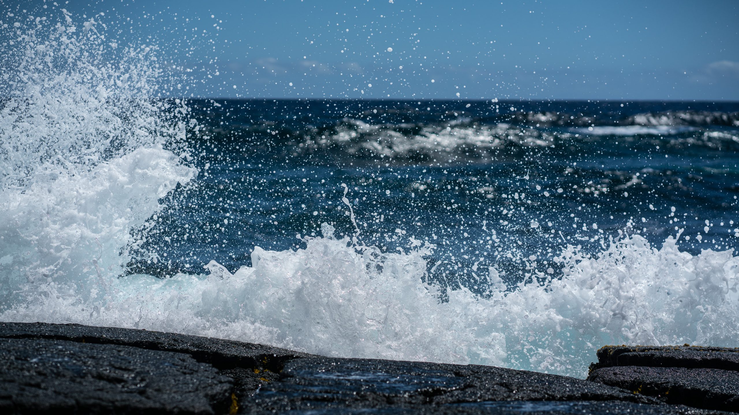
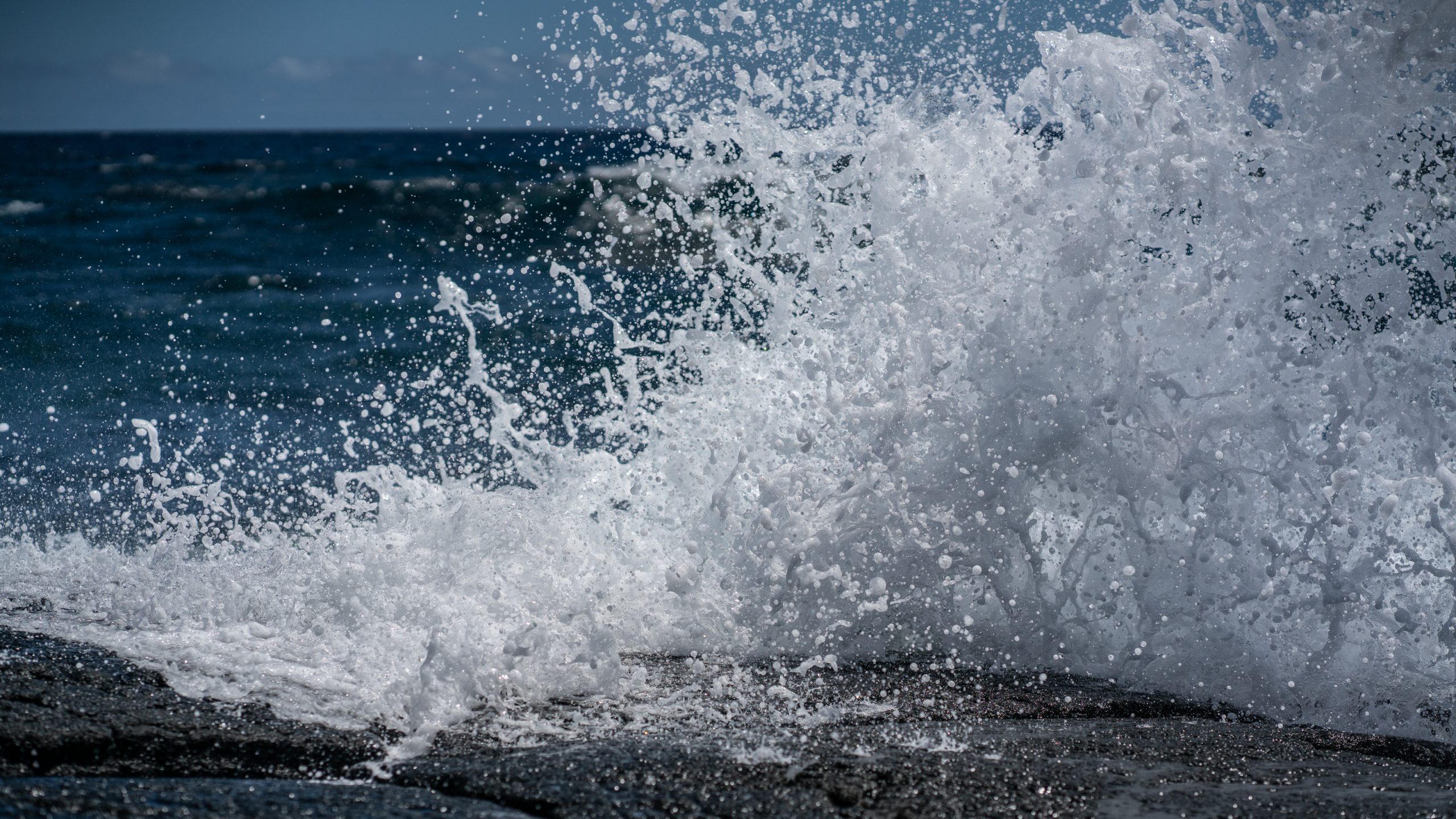
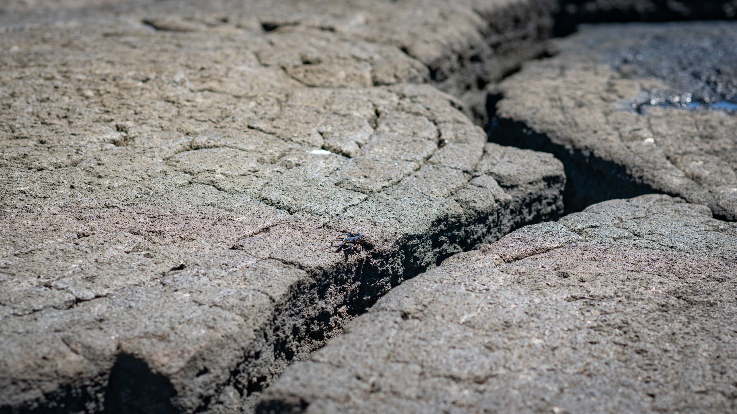
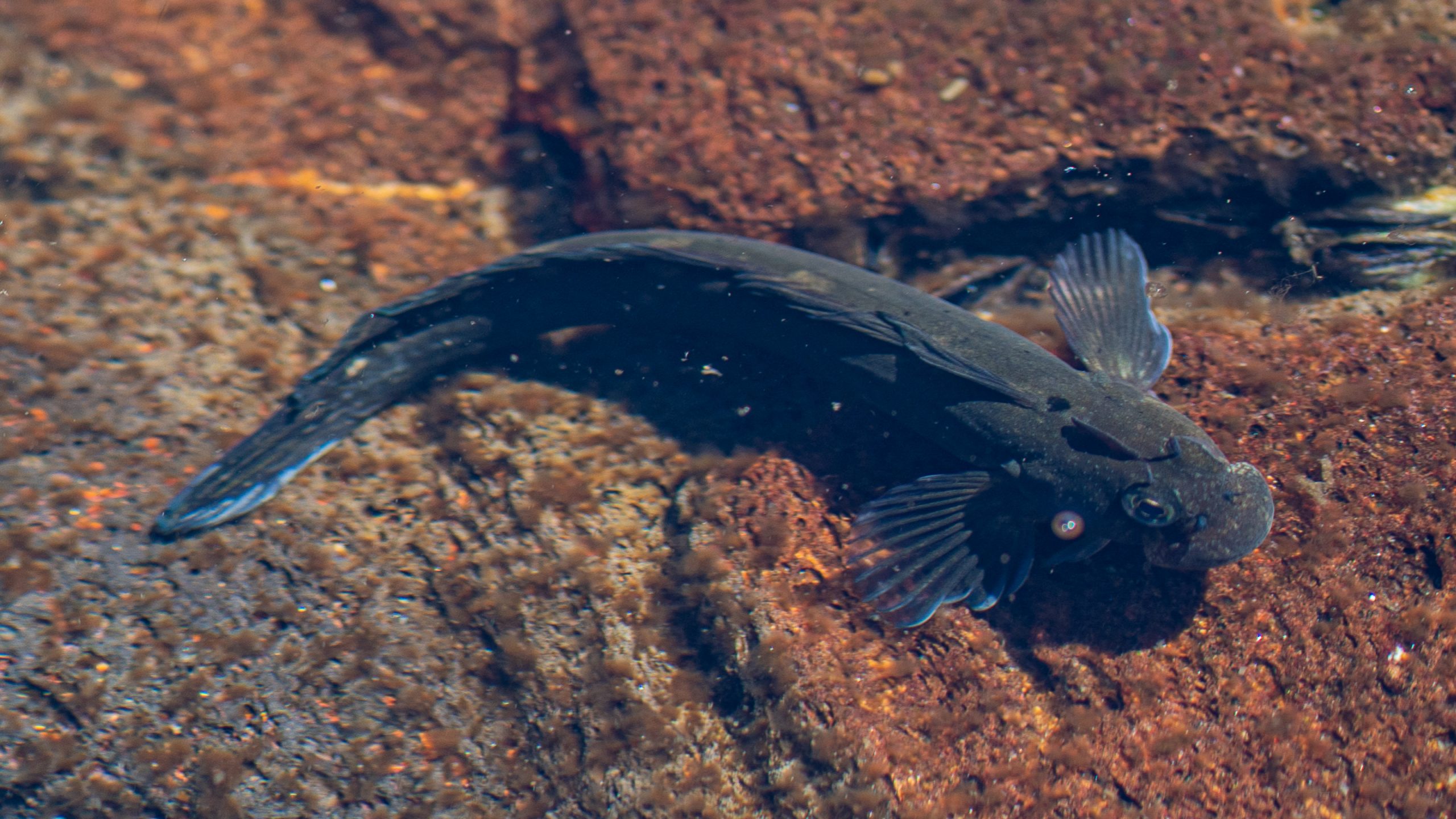
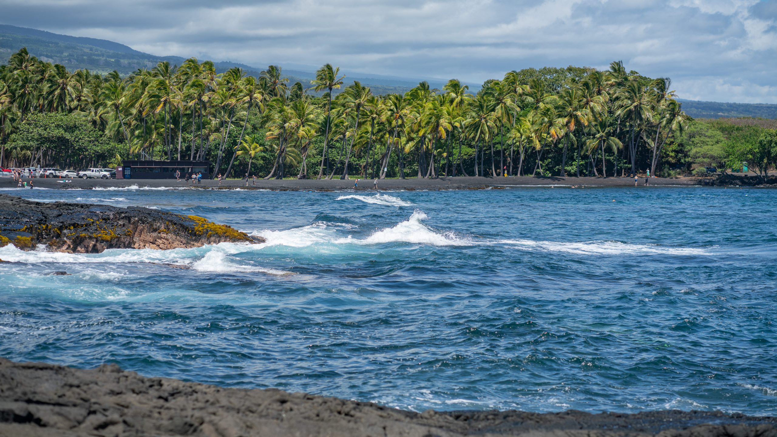
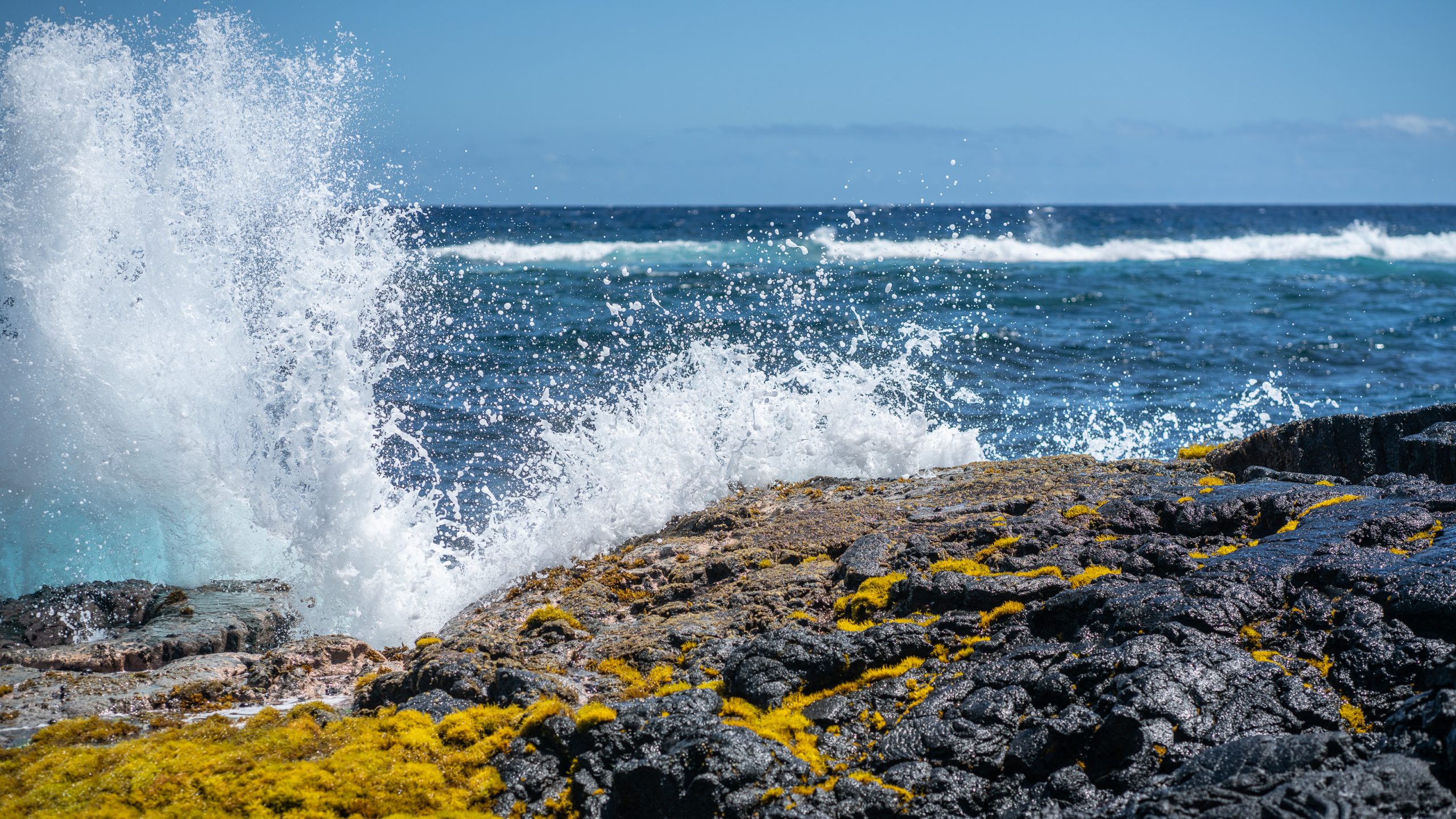
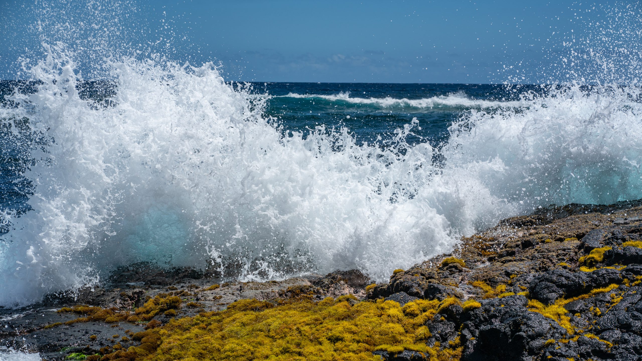
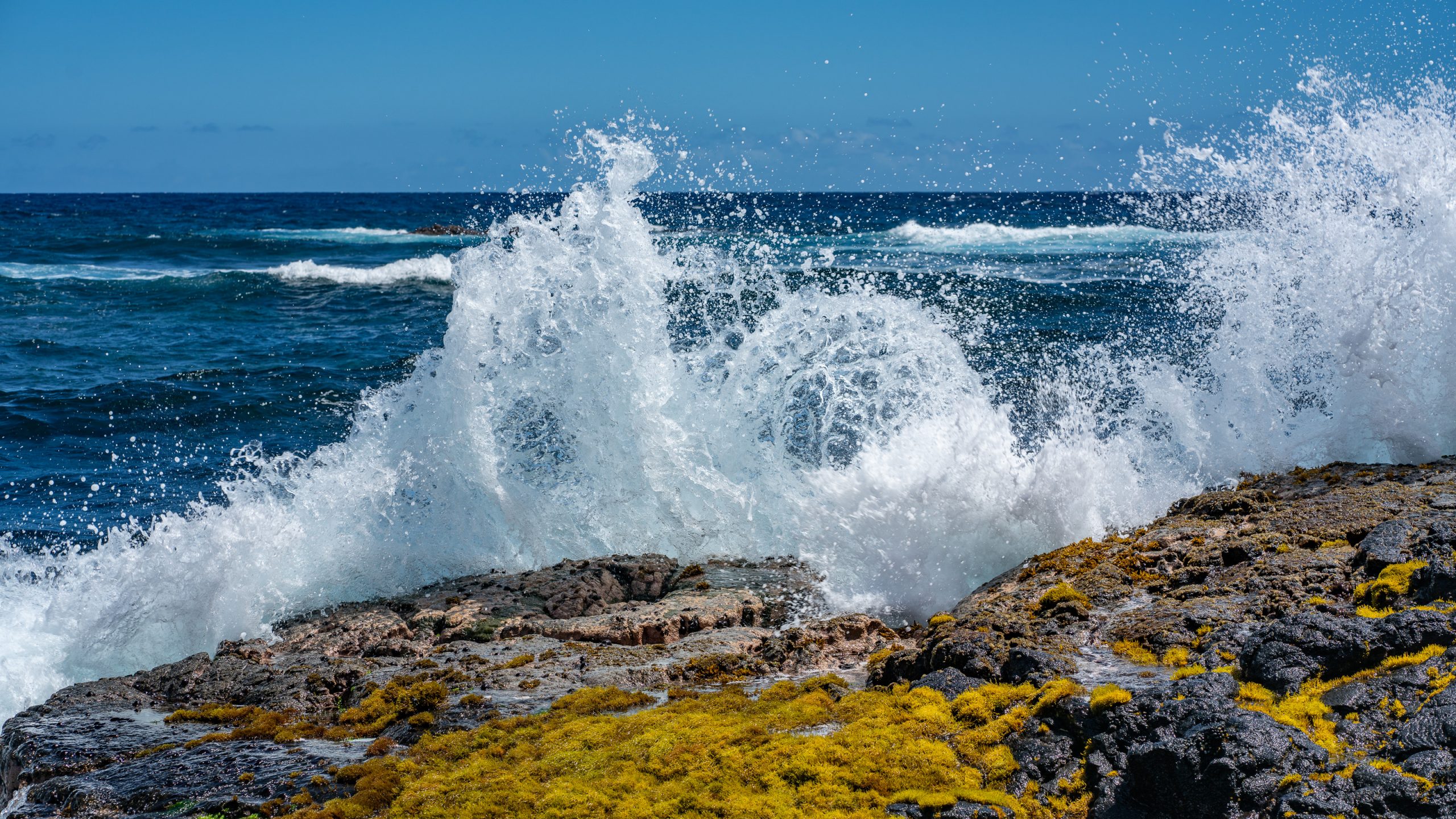
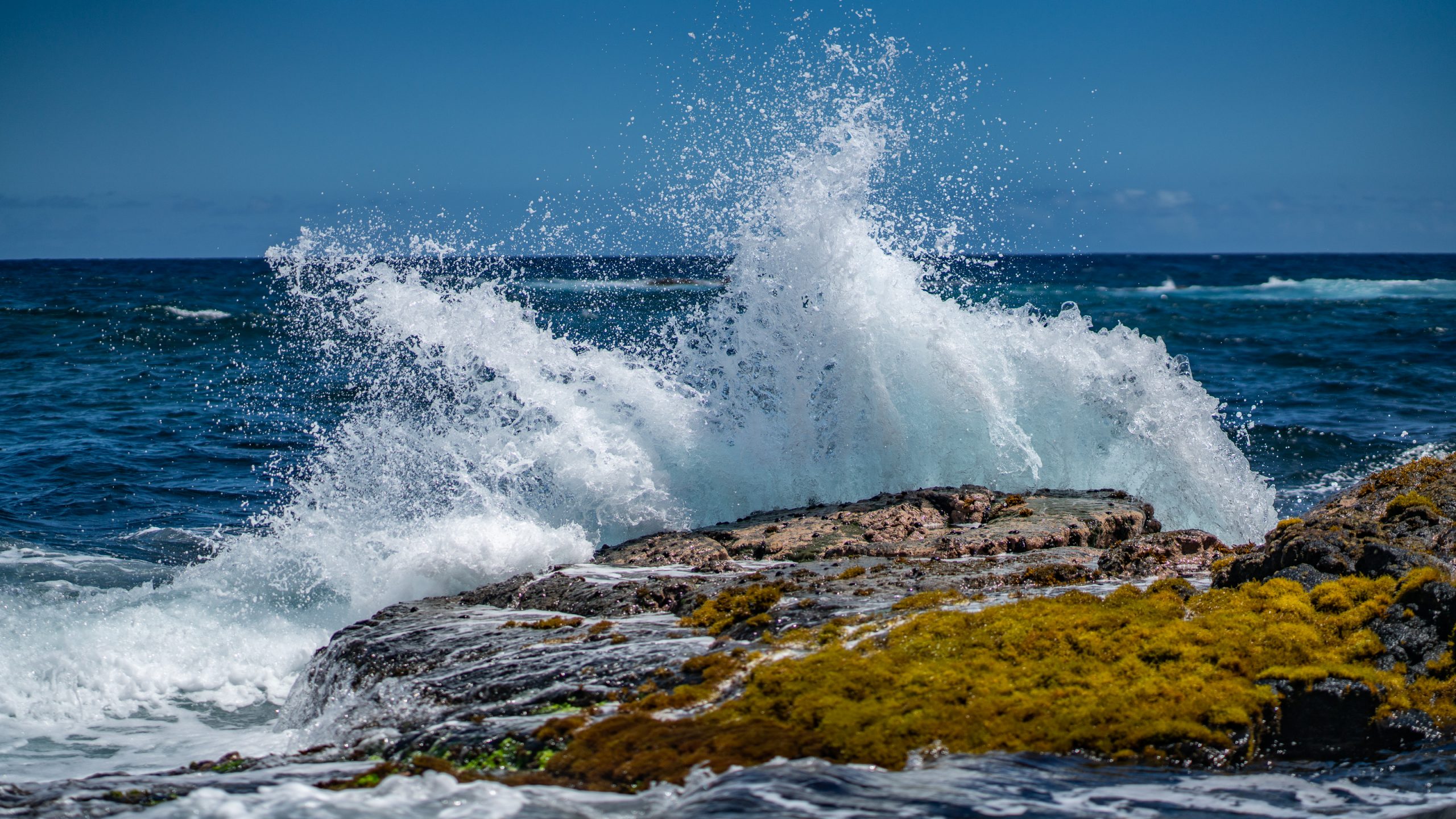
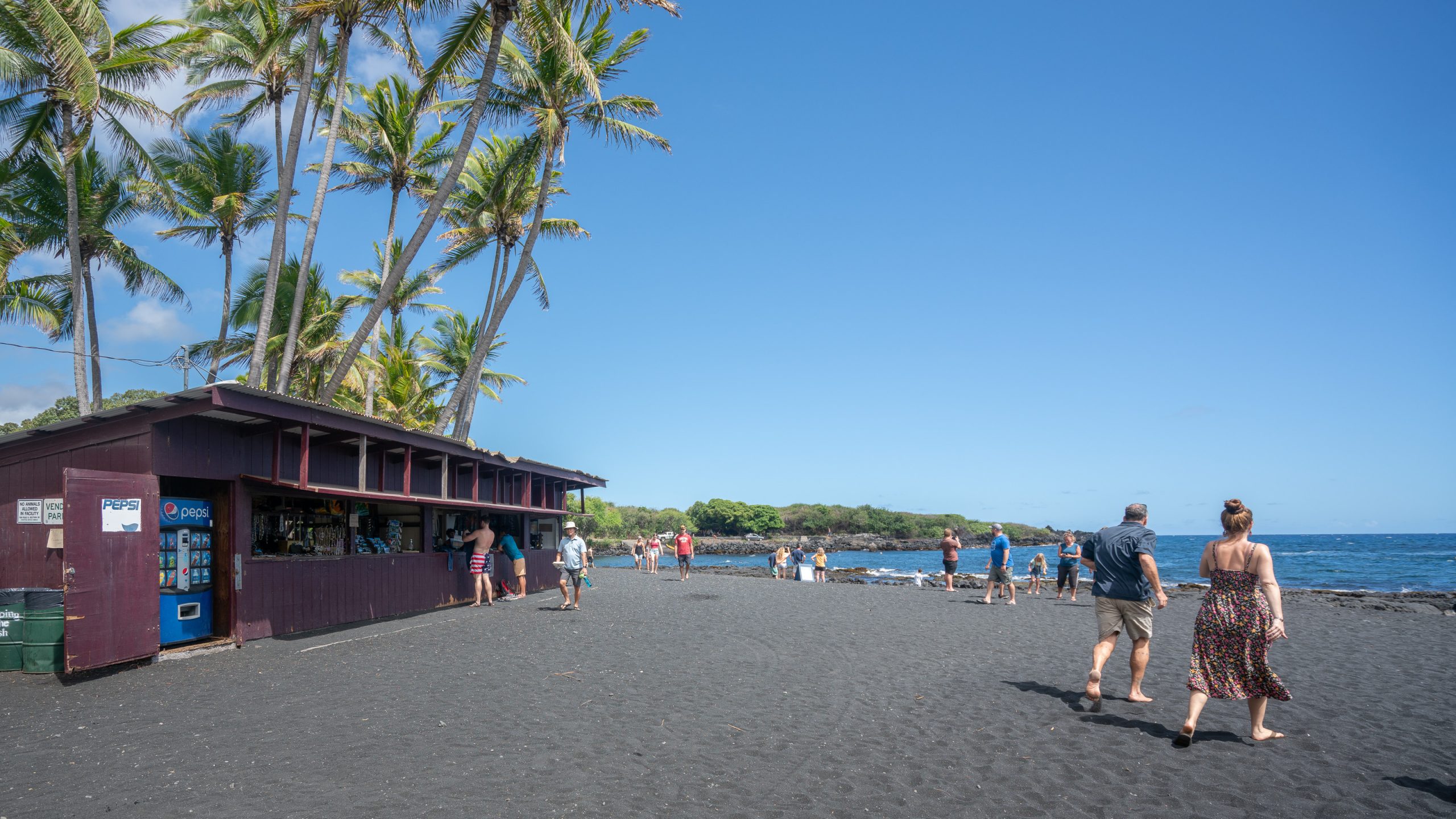
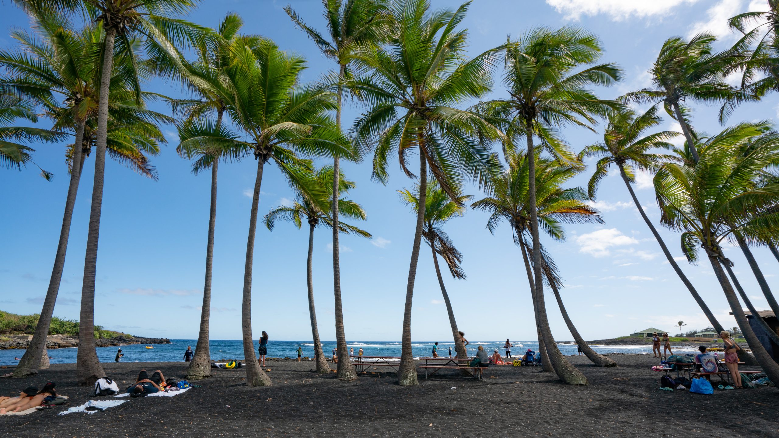
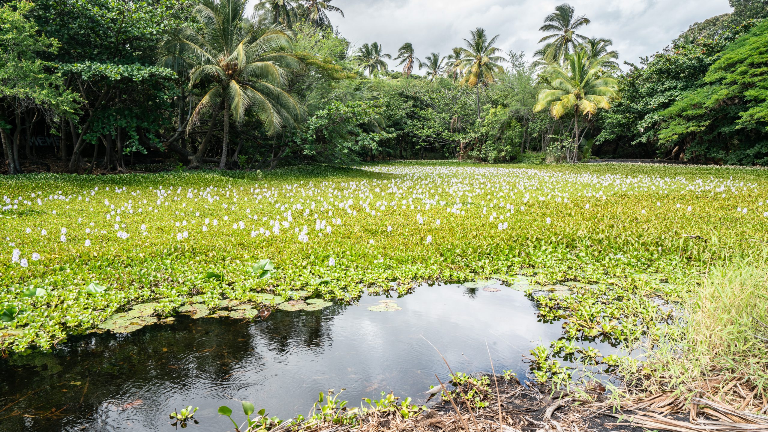
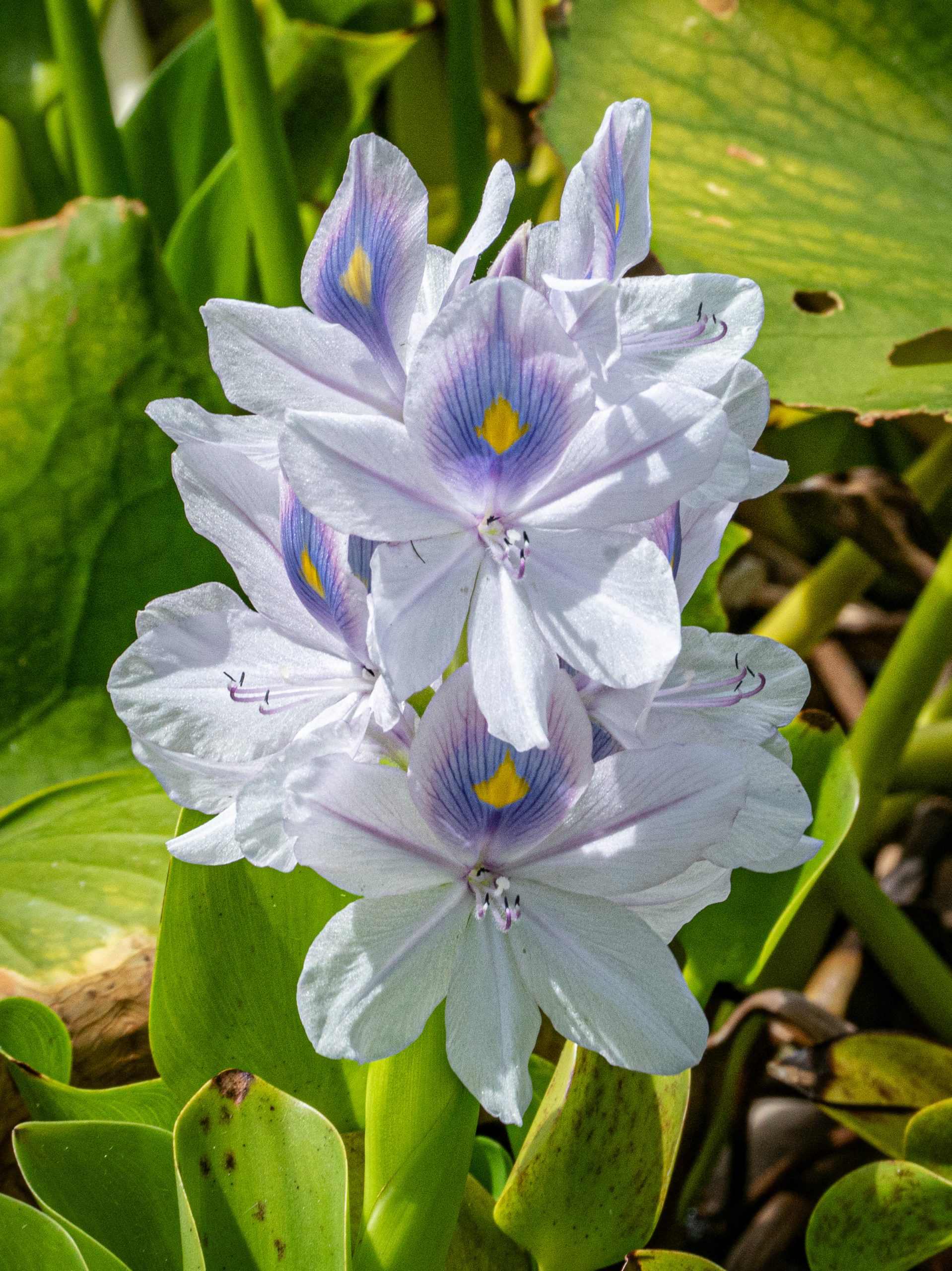
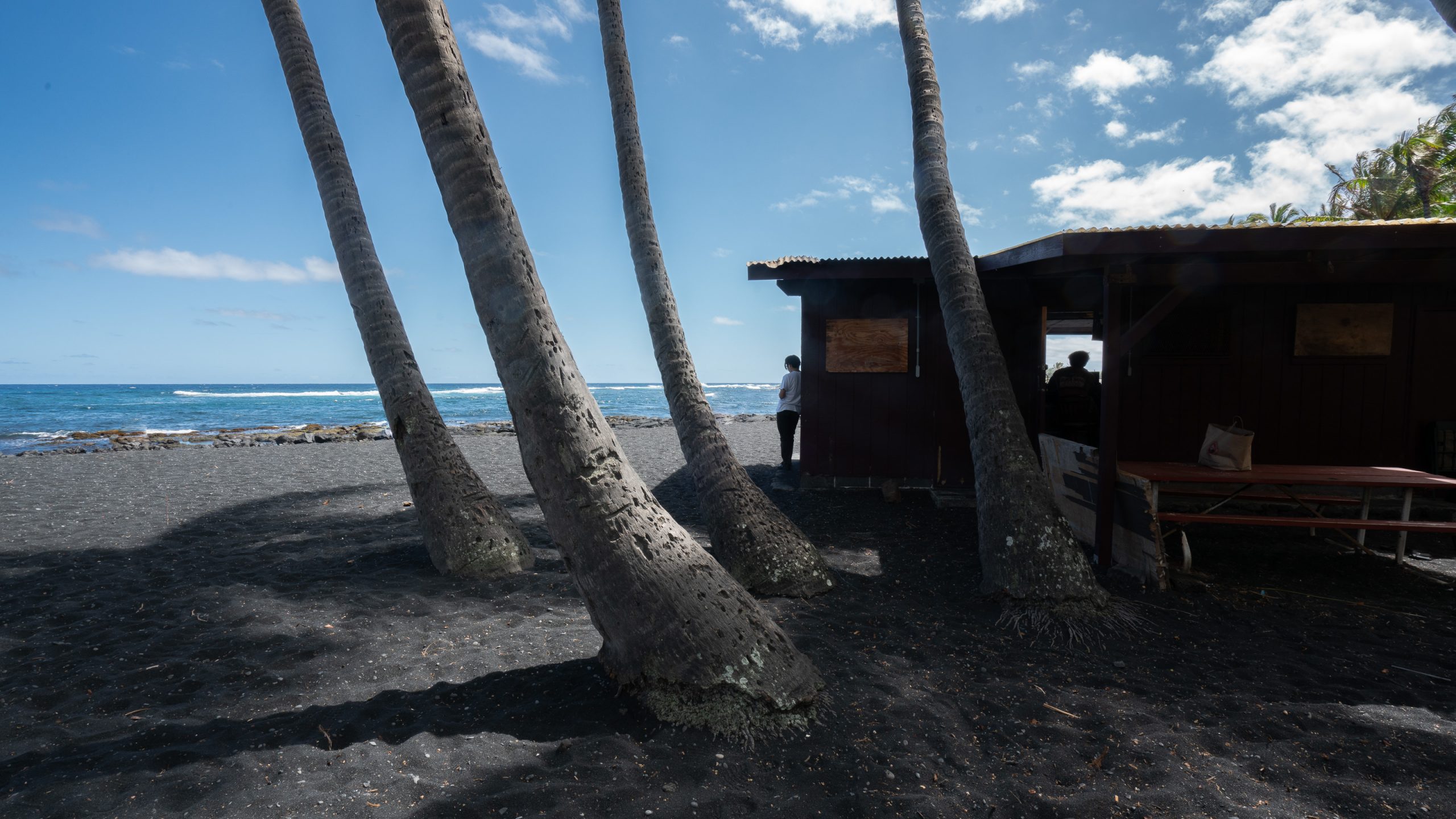
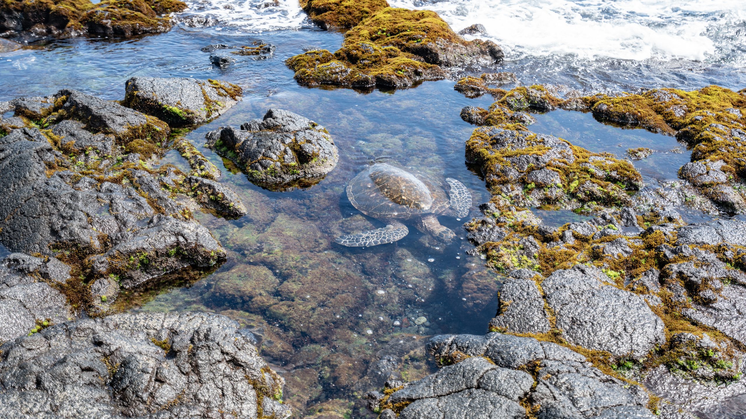
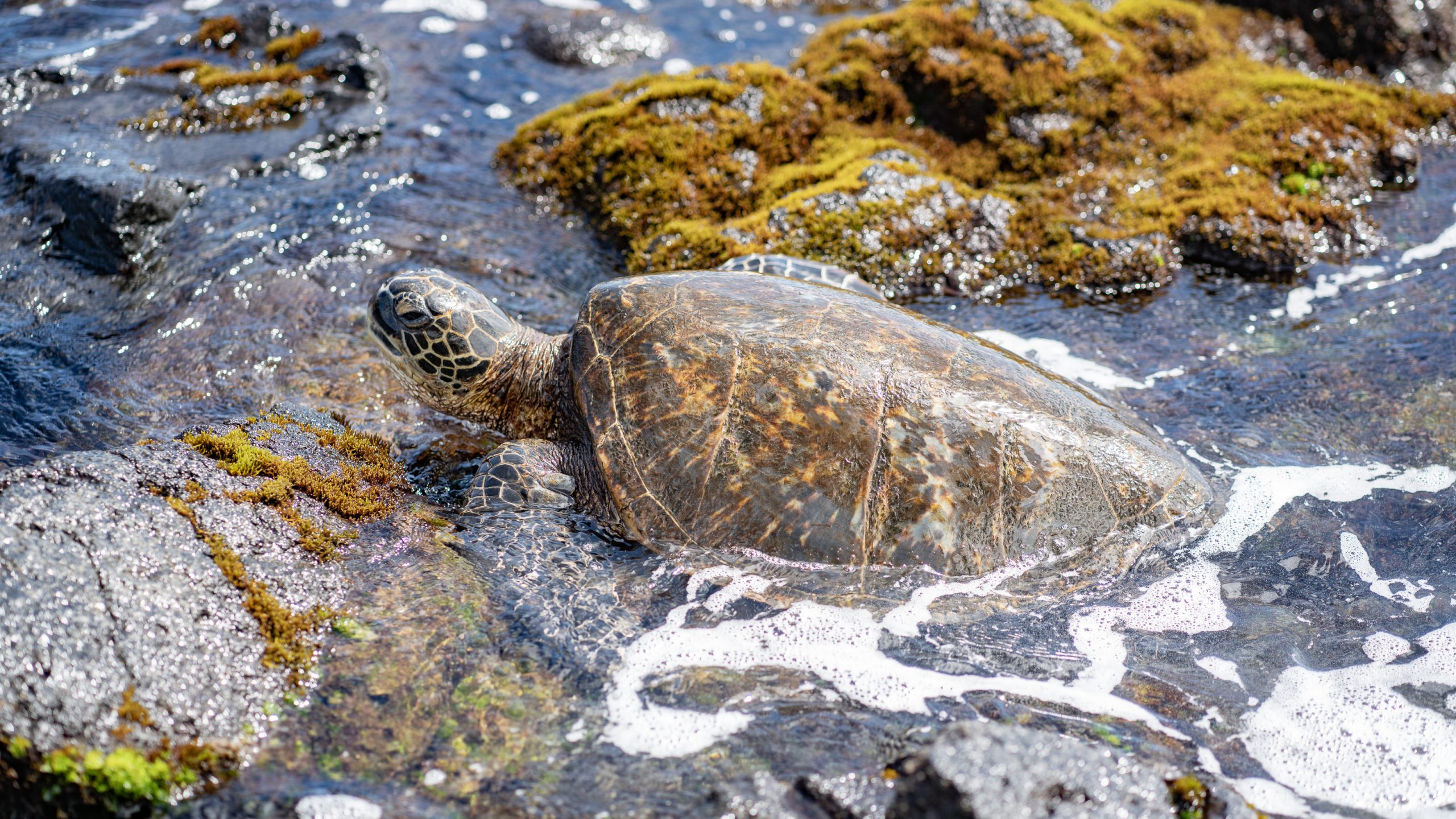
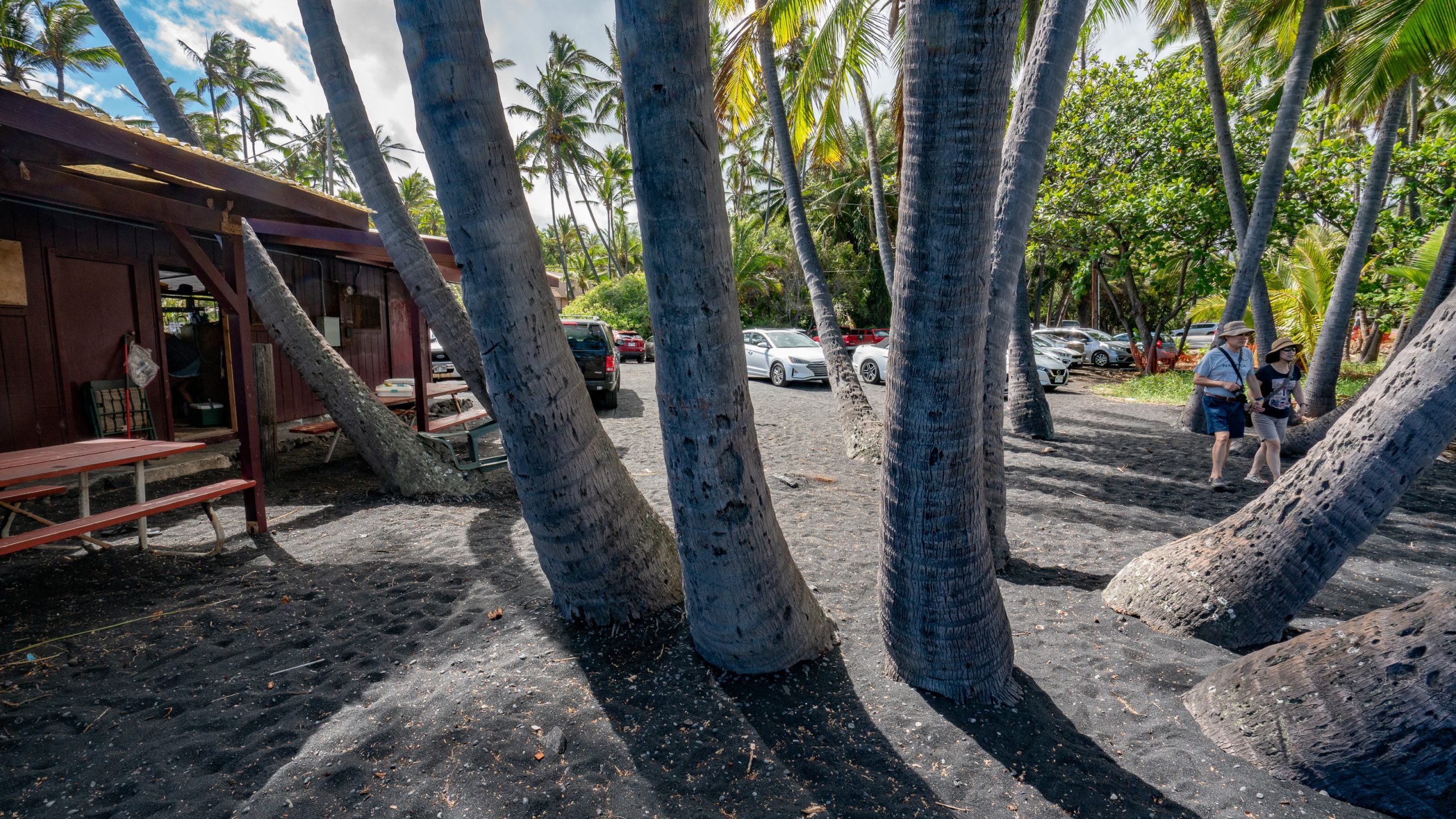
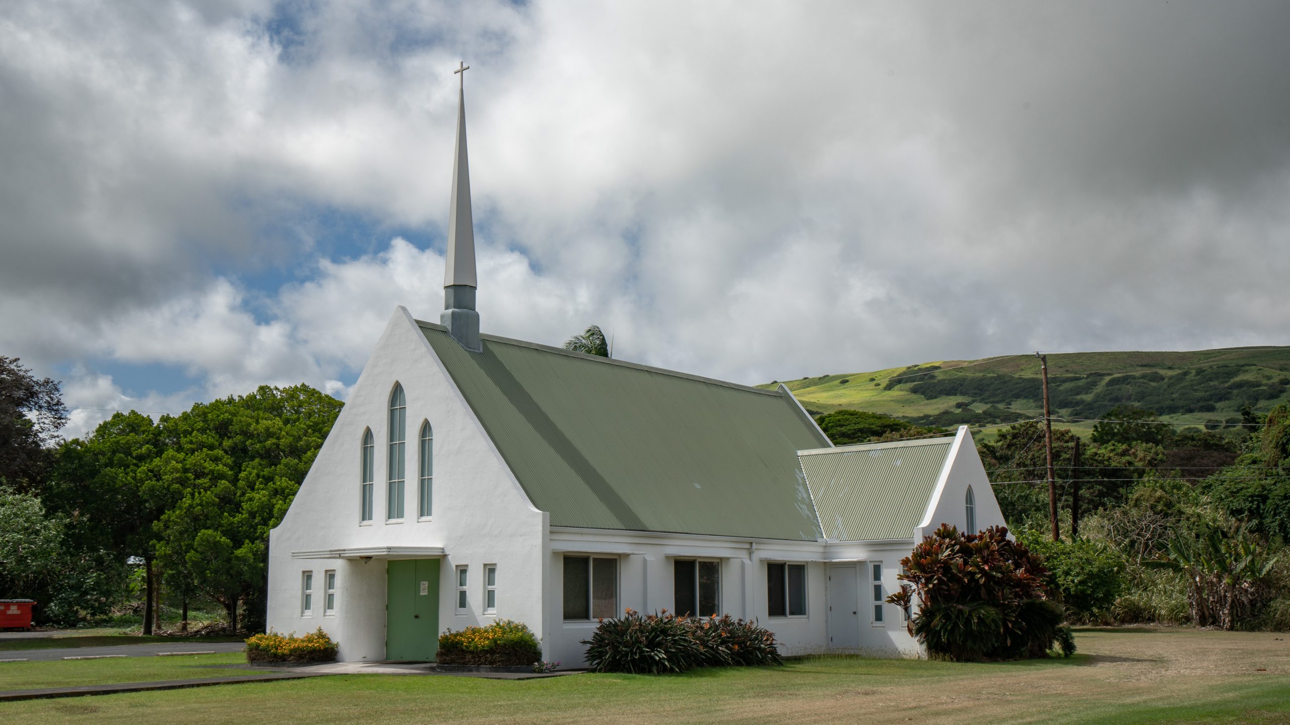
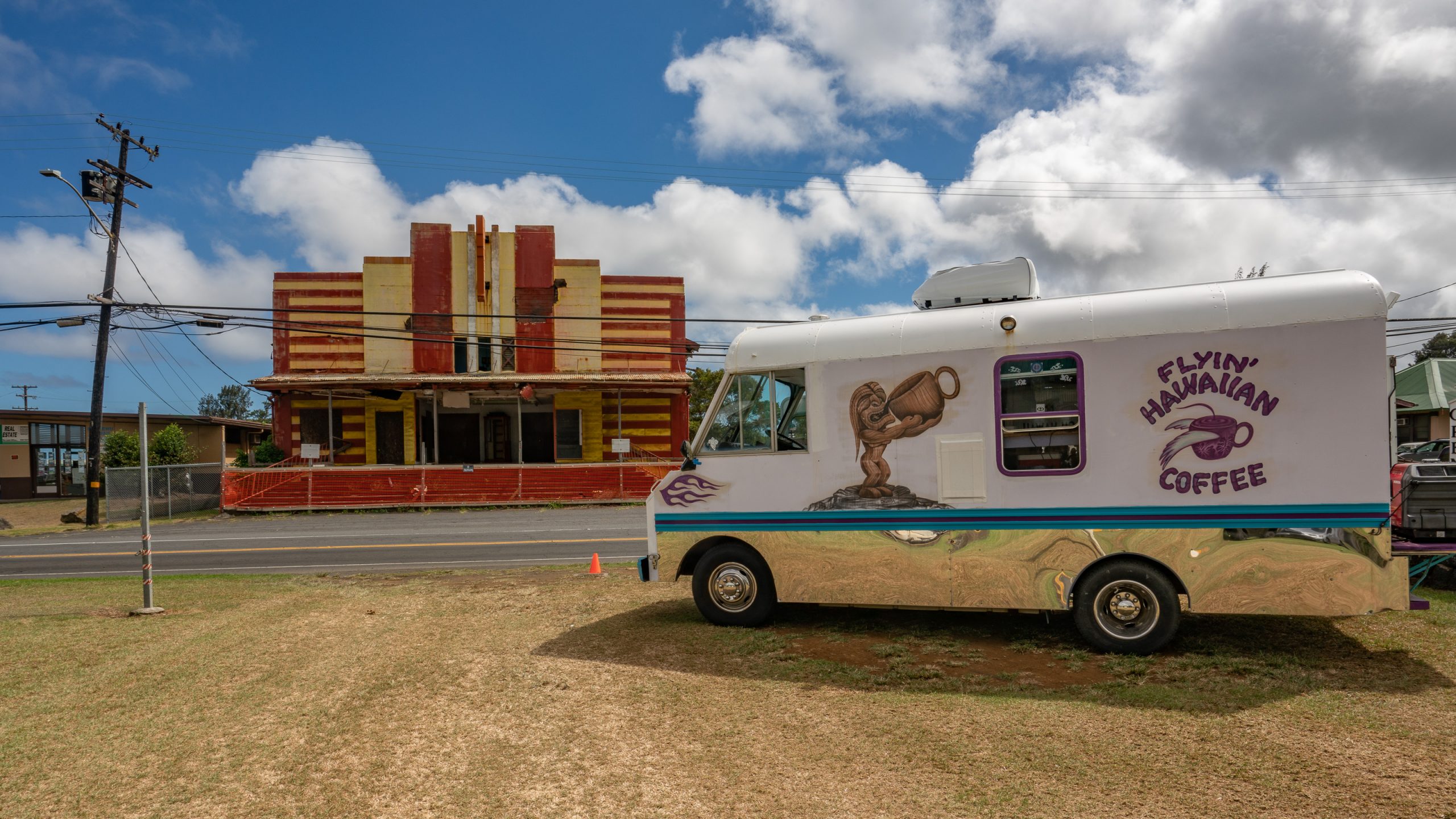
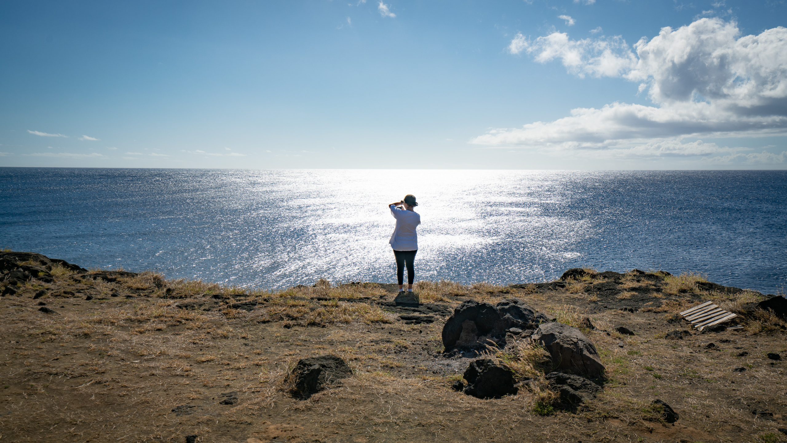
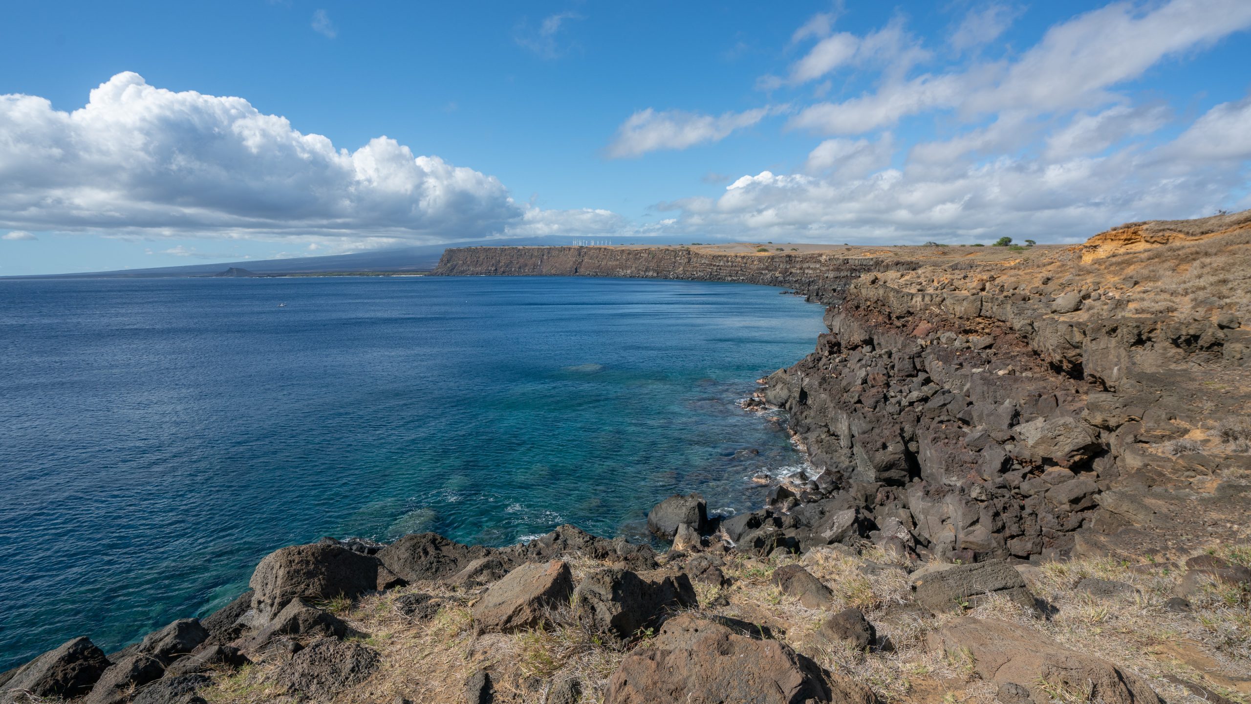
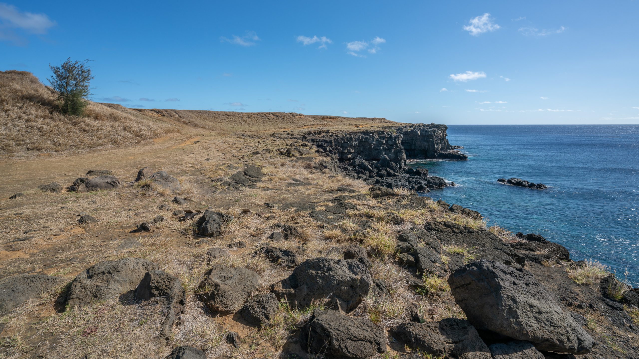
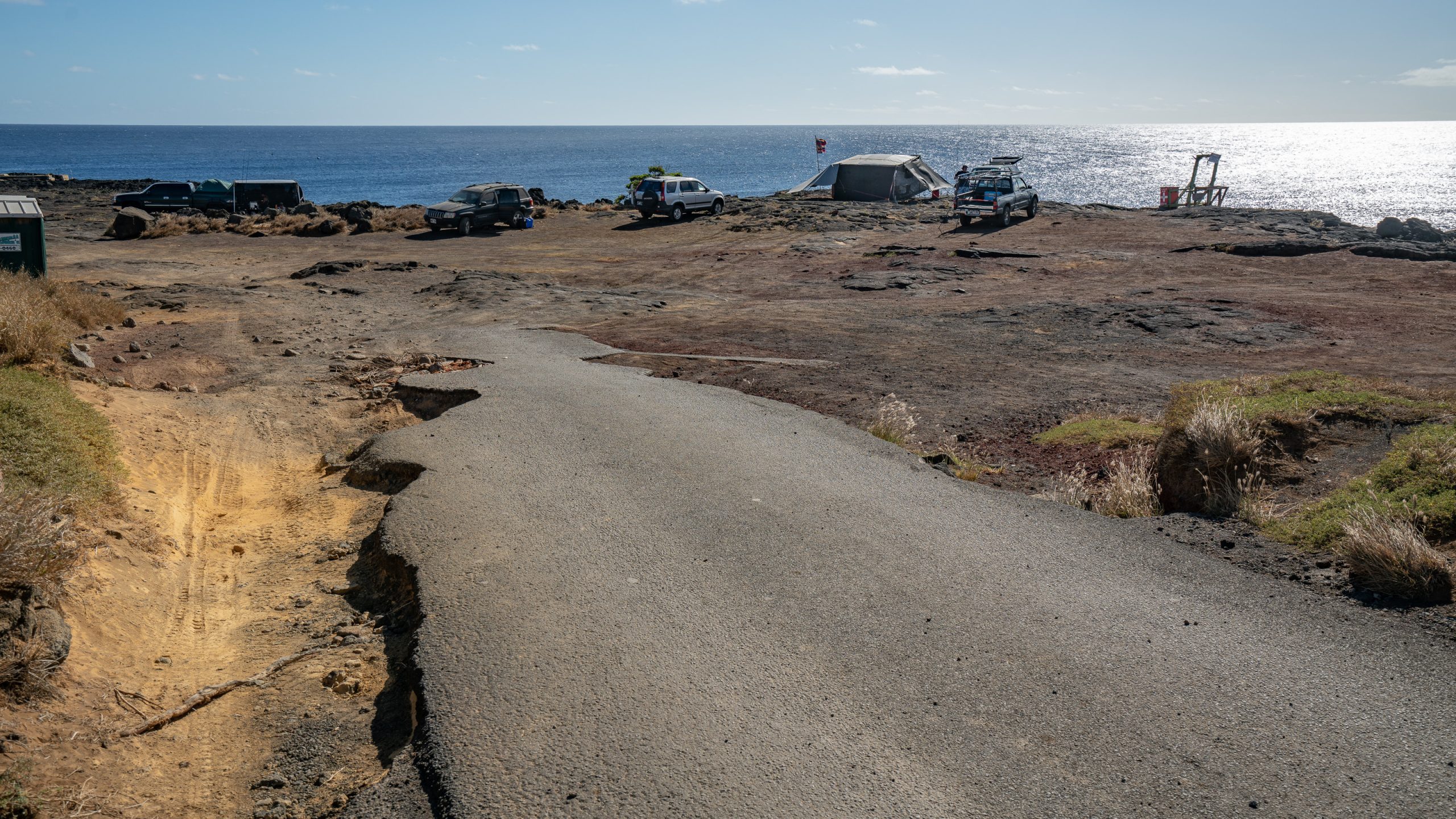
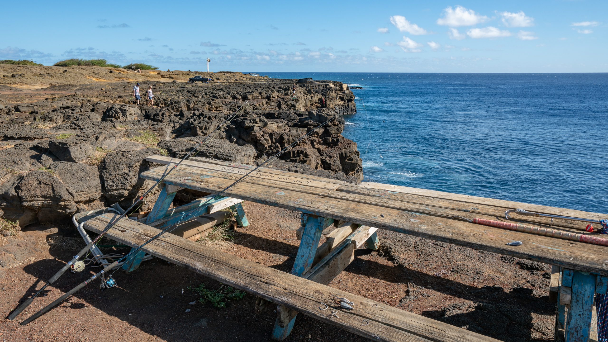
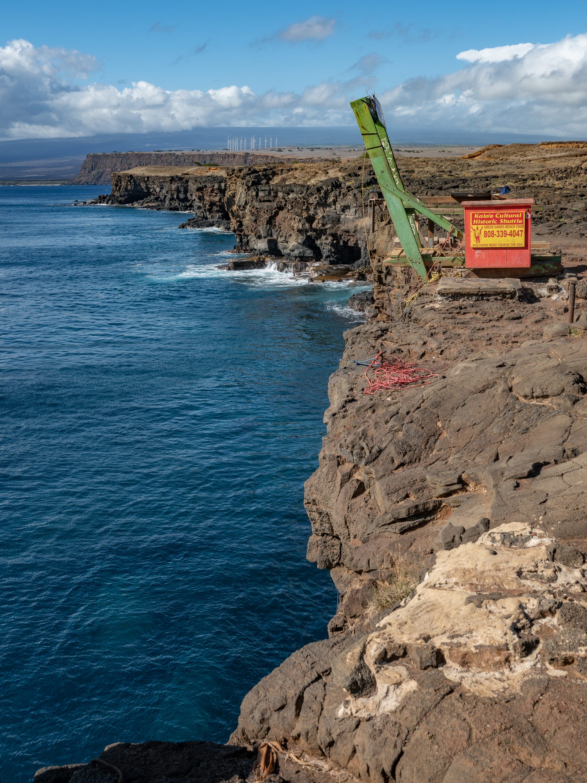
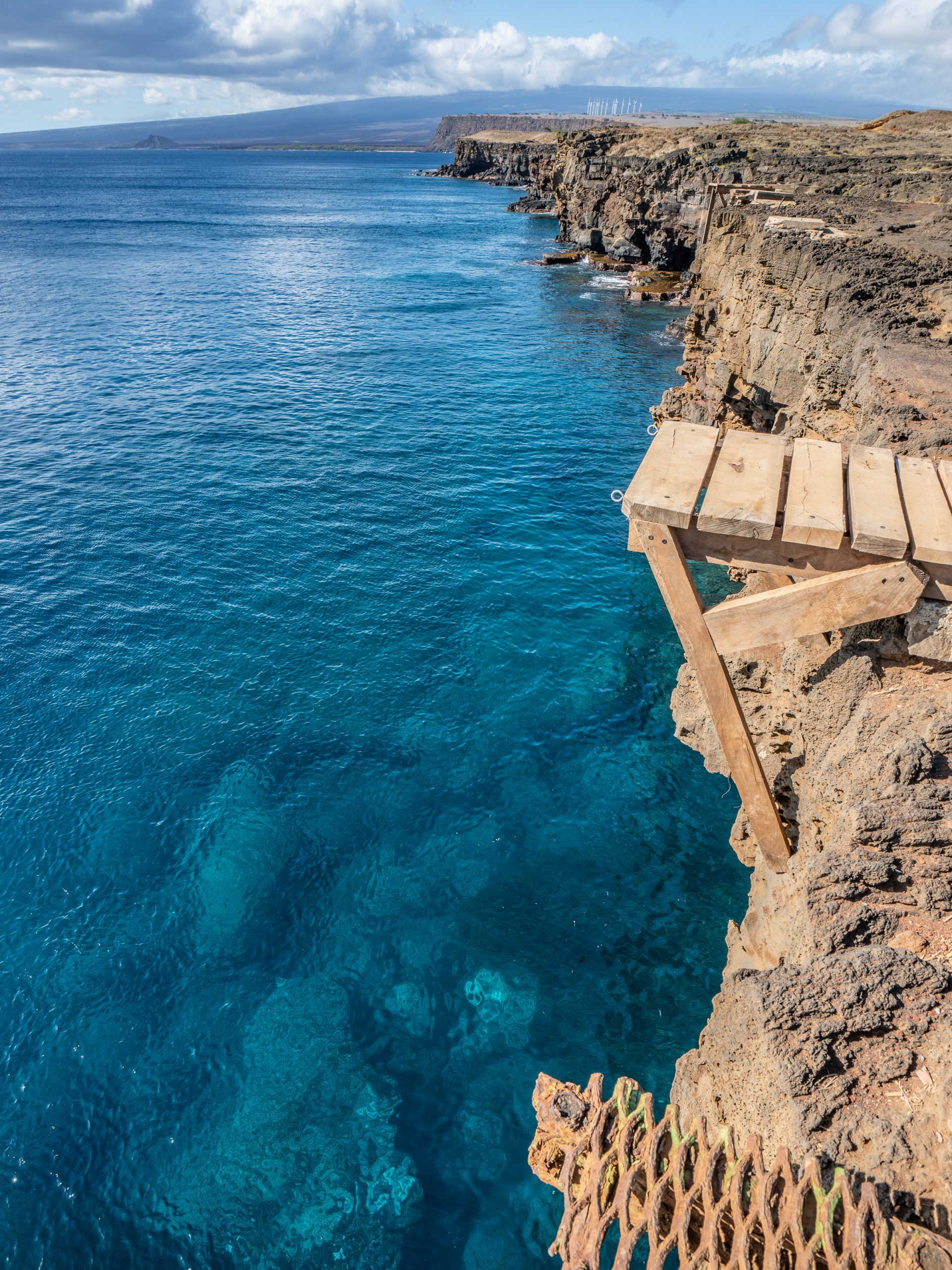
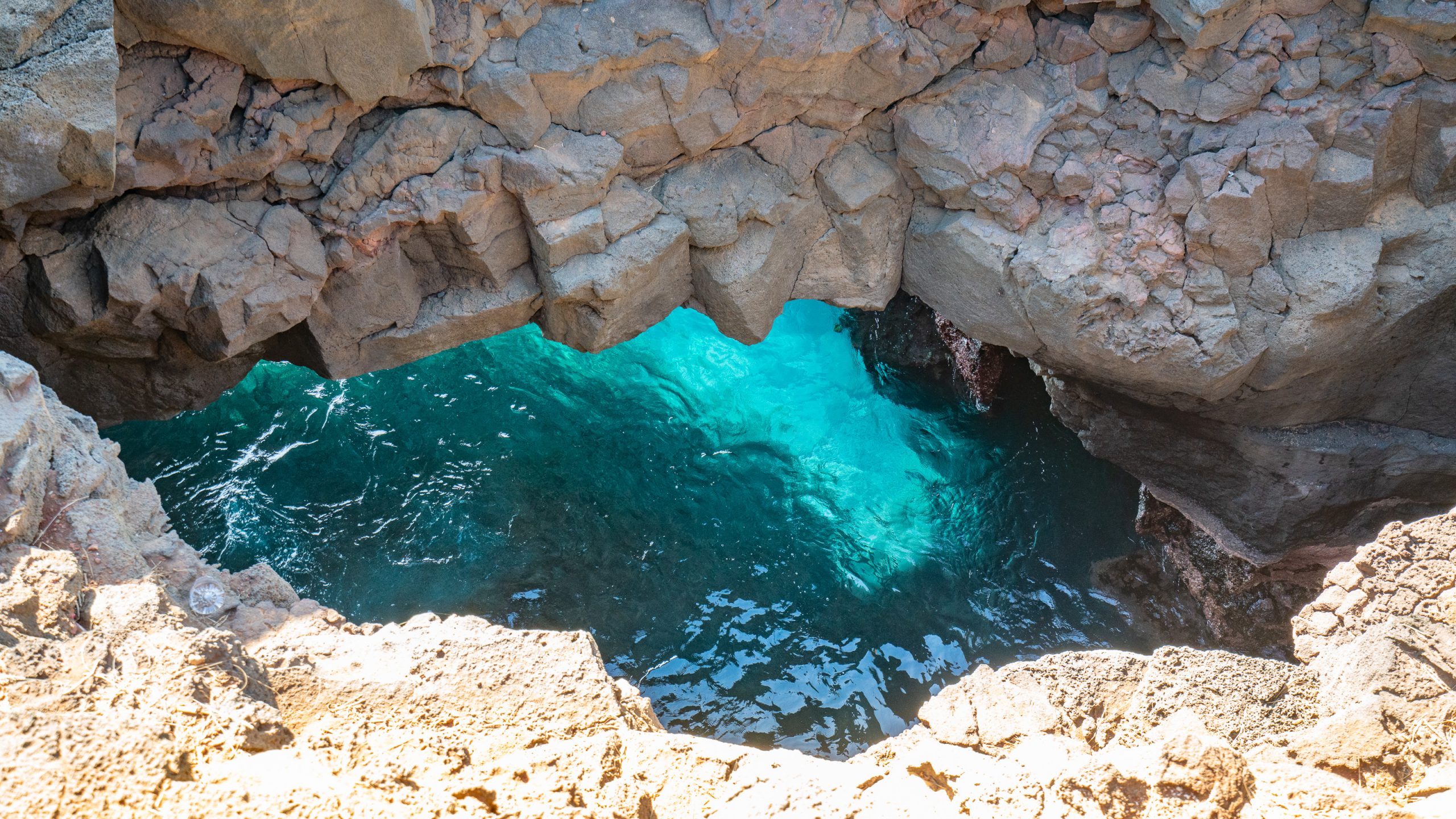
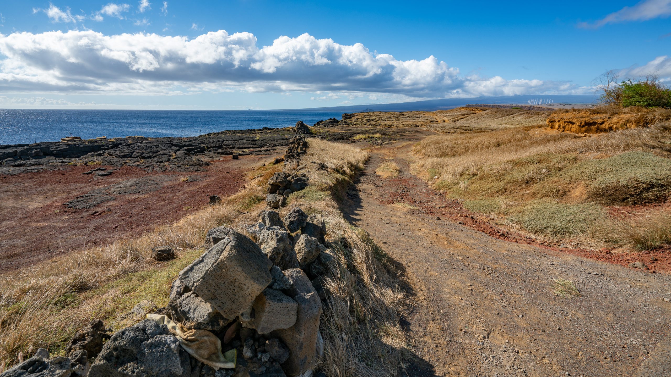
Iglesia Ni Cristo – Locale of NaalehuAn old landing, viewed from a scenic point along the Mamalahoa Highway.Arriving at the black sand beach, but the sand is not the most exciting thing there is…… the airy white seaspray that drifts over from these breaking waves on the lava shore.They’re amazing and we could sit hours watching them.Find the crab!Fishes are abundant, even in shallow tide pools.The outer part of the beach.And waves! Why not post more pictures of breaking waves!They make quite a noise too.Also wonderful shapes.Or just huge SPLASH.The front of house at the black sand beach.What it looks like through these very high coconut palms.And when you turn at this point, your eyes fall on this pond, covered with water hyacinths and lotus.This plant has spongy and bulbous stalk that keeps them afloat over the water. No matter what the water level rises it would keep floating. Very clever.But eventually you get tired of beautiful flowers and decide to have a closer look at the actual beach.And what you find is: Honu!Green sea turtles, native to Hawaiʻi. They are the largest hard-shelled sea turtle in the world, reaching lengths of four feet and weighing over 300 pounds. There were 2 in the shallow water and thanks to the big zoom lense they were closer than the law allowes you to be.Walking back to the car before our skin is burnt to a crisp.Back via Naalehu, here the United Methodist Church.The former Na’alehu Theater, now abandoned and a shiny food truck. This theater was built in 1940 by the Hutchinson Sugar Plantation in Na’alehu, Hawaii. It orginally had 550 seats and serviced a population of 8,000 residents and 10,000 military troops stationed at South Point on the Big Island. The sugar plantation closed in 1996, and with fewer than 3,000 total population, the theater ceased running first run movies and opened in 2003 as a plantation movie theater museum.The day is still young and the kids are in good spirits, so we decide to make a detour to South Point.The name for the southern tip of the island of Hawaiʻi comes from Ka Lae in the Hawaiian language which means “the point”.The area is also known for its strong ocean currents and winds and is the home of a wind farm.And then the road literally ended. Some fishermen tend to their gear at the edge.A confluence of ocean currents just offshore makes this spot one of Hawaii’s most popular fishing spots. Both red snapper and ulua are plentiful here.Ka Lae is the southernmost point in the 50 United States.The clear waters along the coast here are home to endangered monk seals and hatchling hawksbill turtles.South Point Blowhole, didn’t blow for us, but probably would if wind and sea were right. Today it was just a very very low sea arch.The windblown landscape at South Point, really dry but worth the drive.