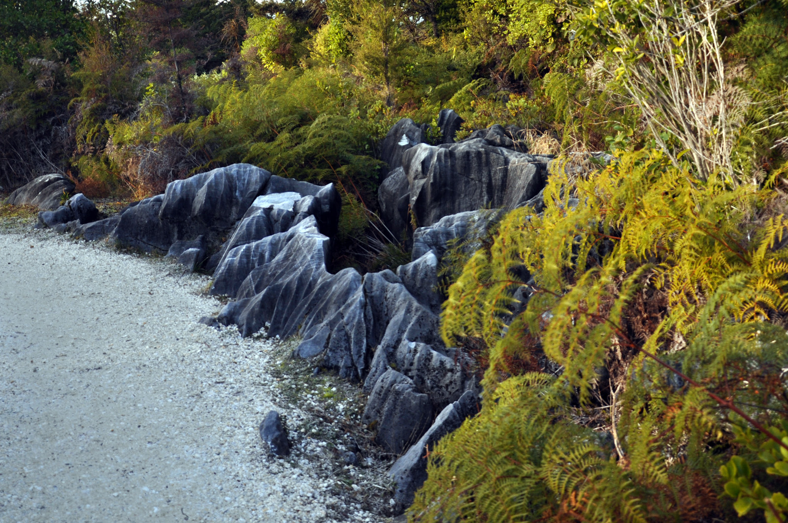
The Hokitika area was once covered in ice in the form of vast, moving glaciers which spread over most of the West Coast, up into the Southern Alps and down to the sea. During the last 500.000 years, these glaciers have dramatically altered the landscape, they shaped valleys to u-form, created jagged mountain peaks and flattened the land to form the fertile floodplains of today. The upper Hokitika River flows through a steep, rocky passage before it comes out in the open land, a landscape to remember (especially at sunny weather, which is prominent at an annual rainfall middle of 7,5 m).