The only way to get to Vegas! But it’s 2021 and we have a big car stuffed with water bottles, food and baby laughter. We’ll be fine!
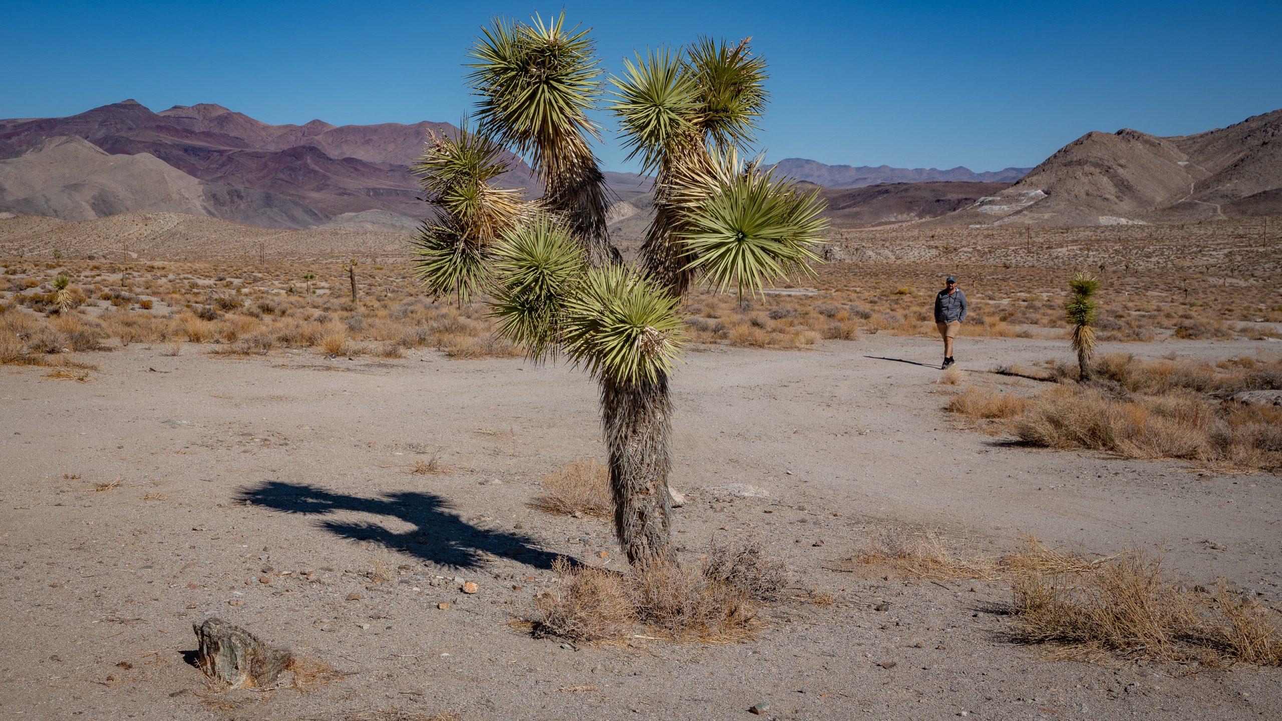
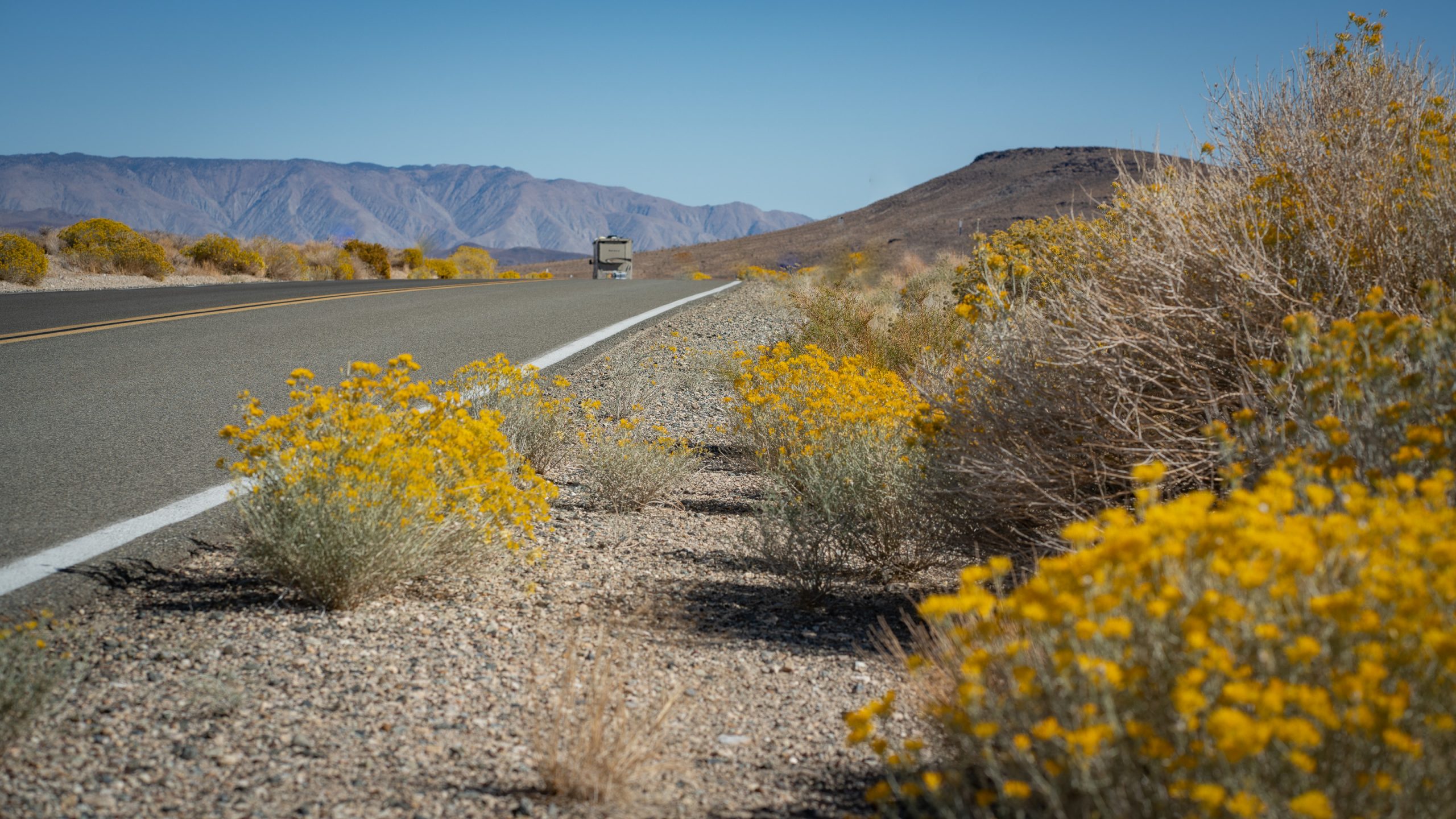
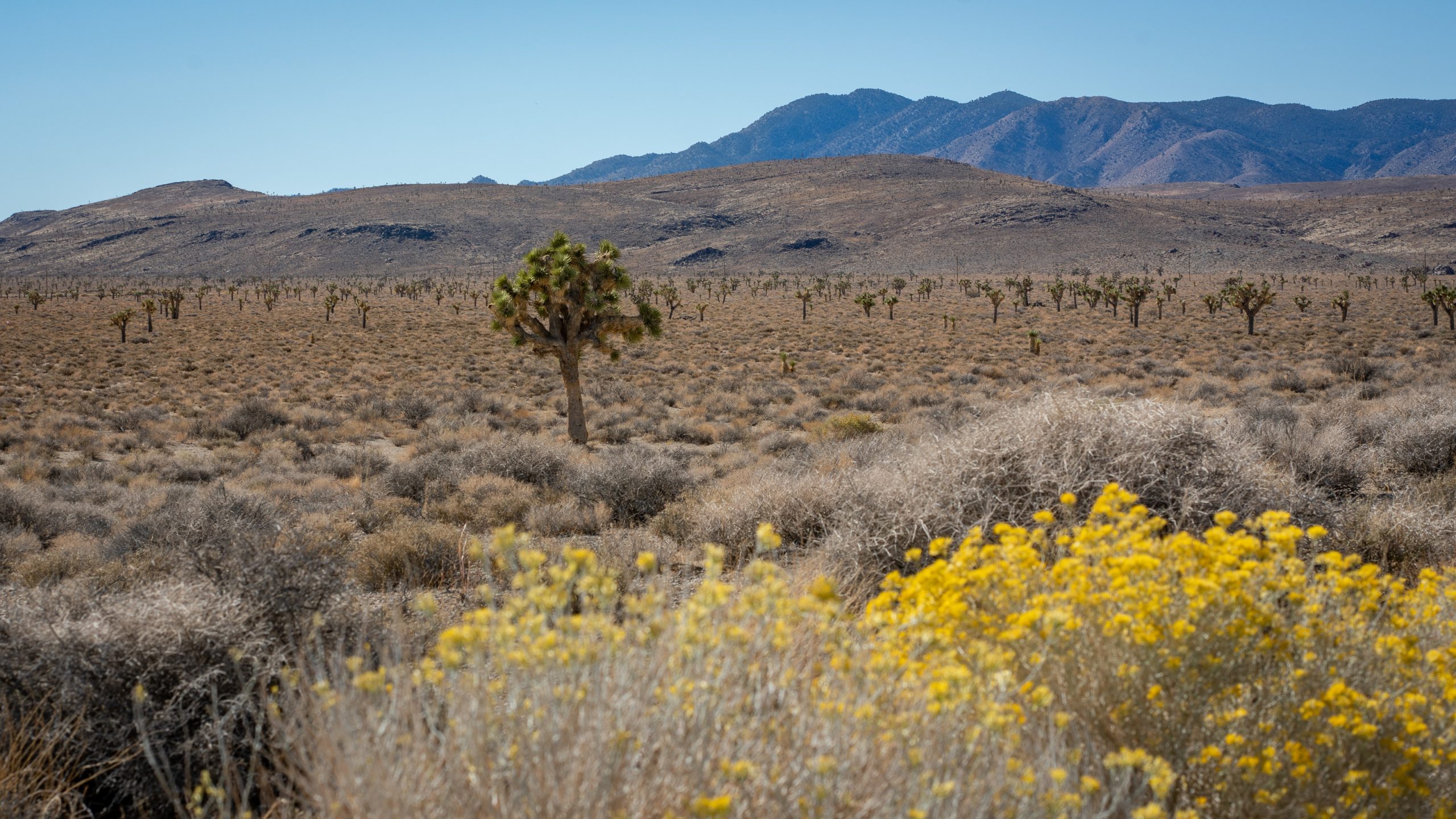
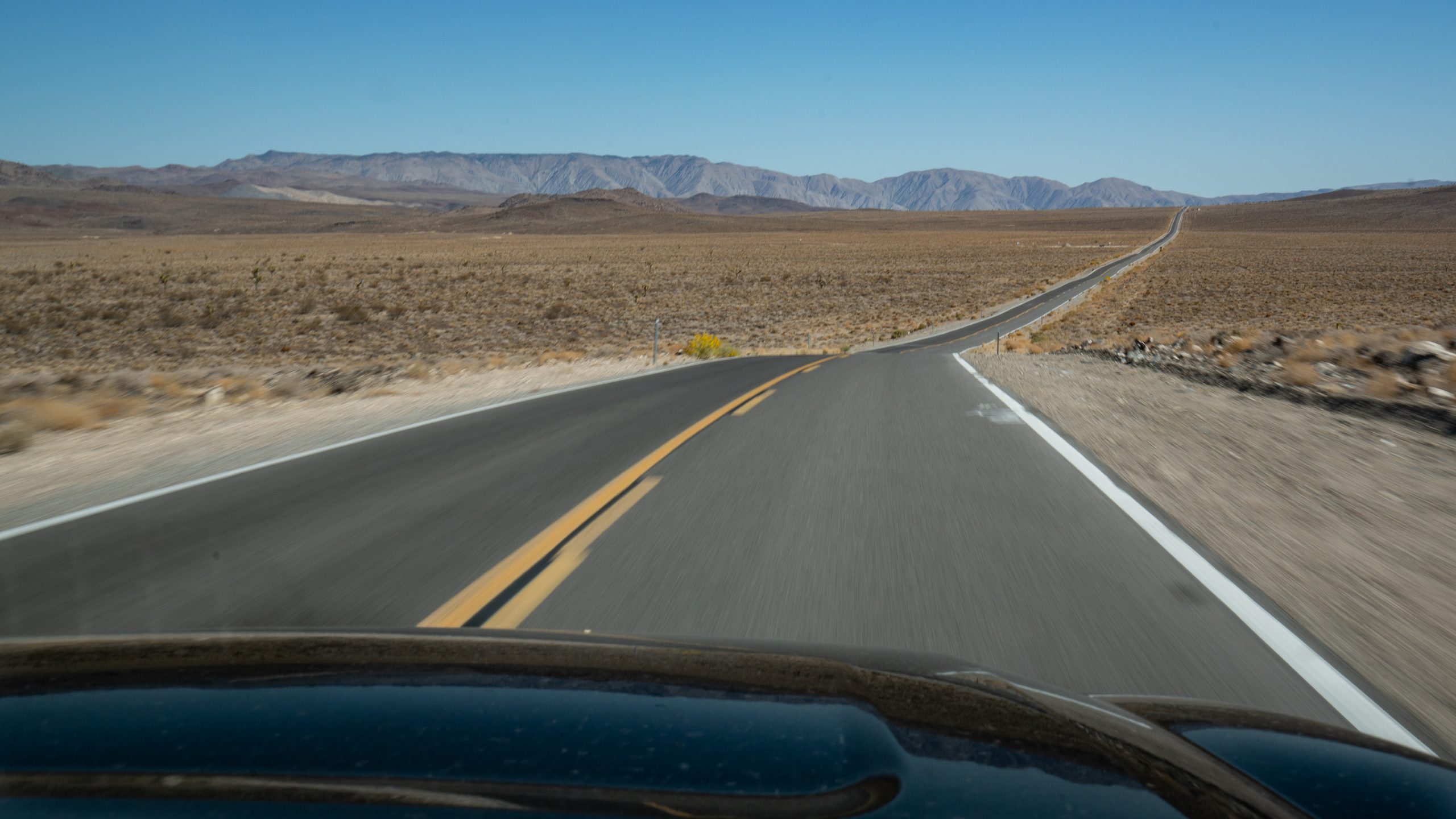
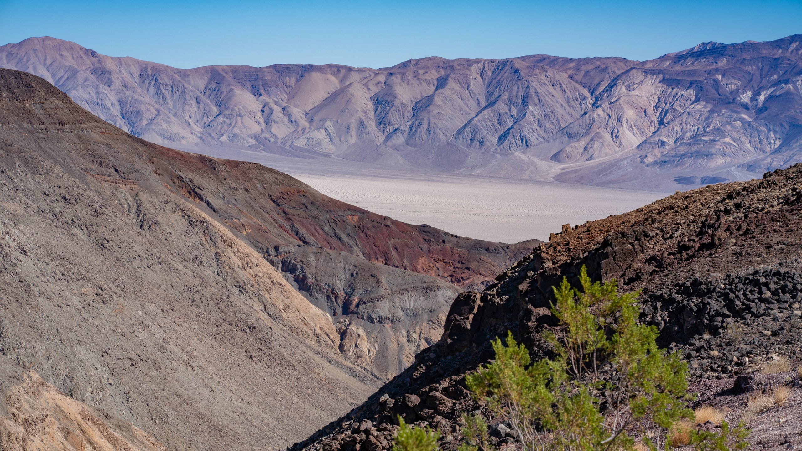
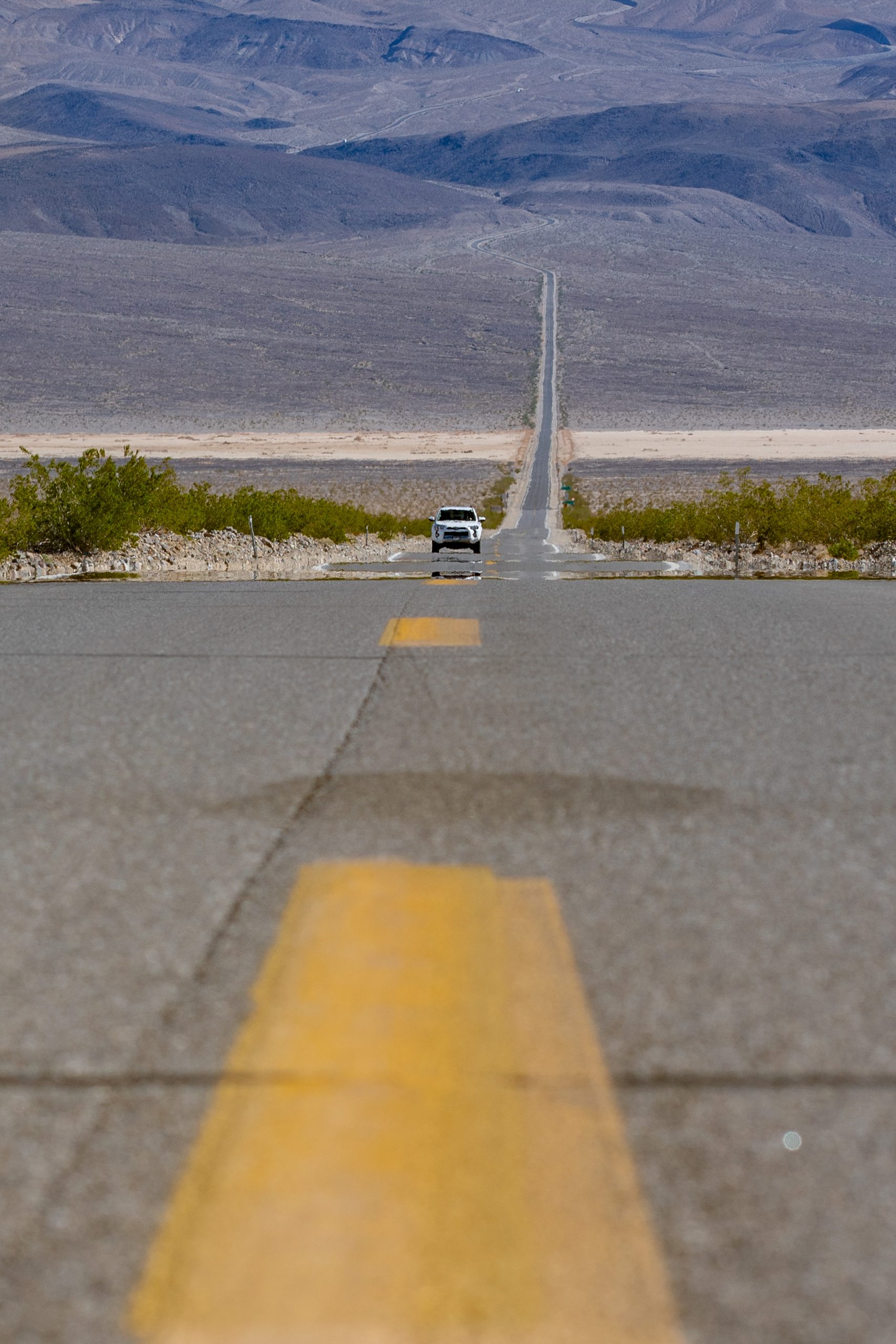
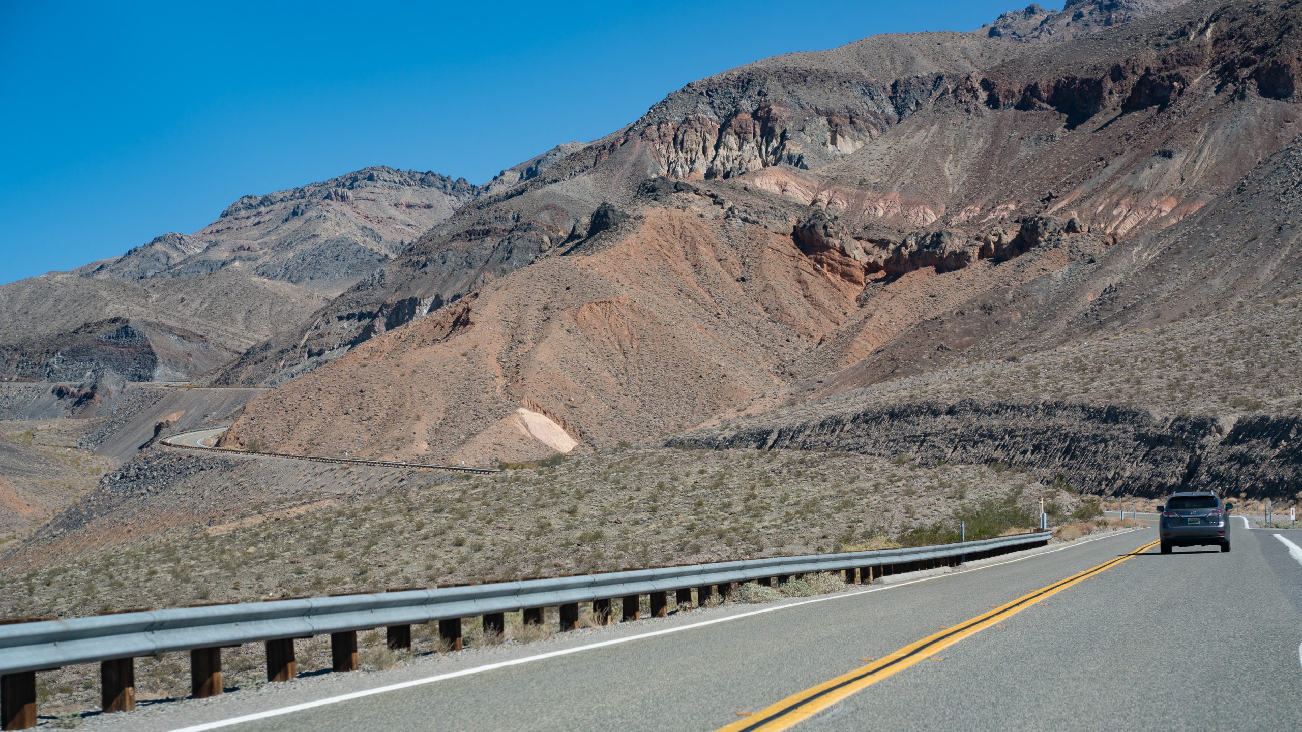
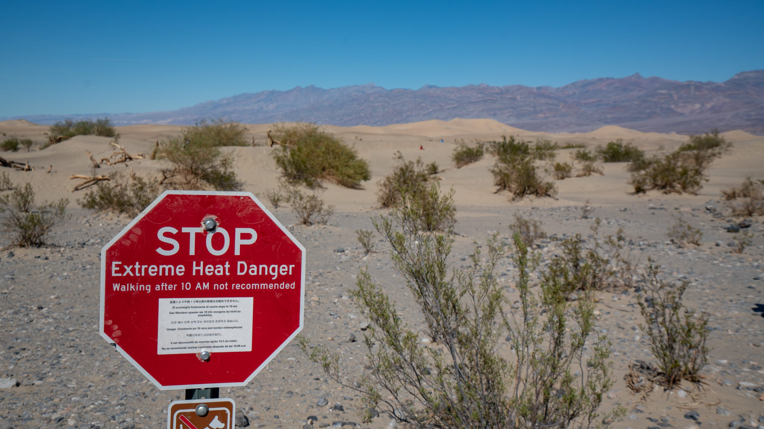
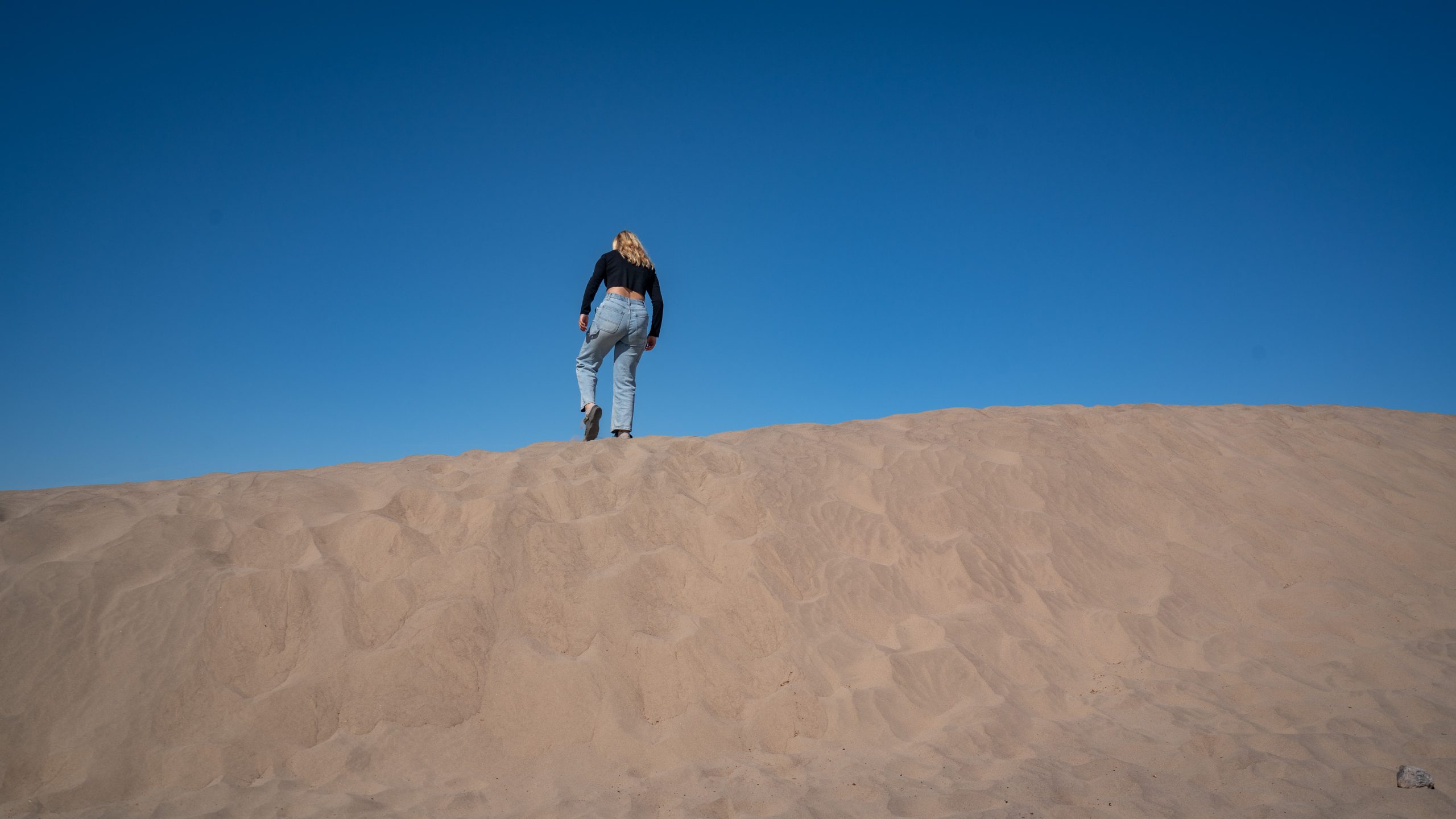
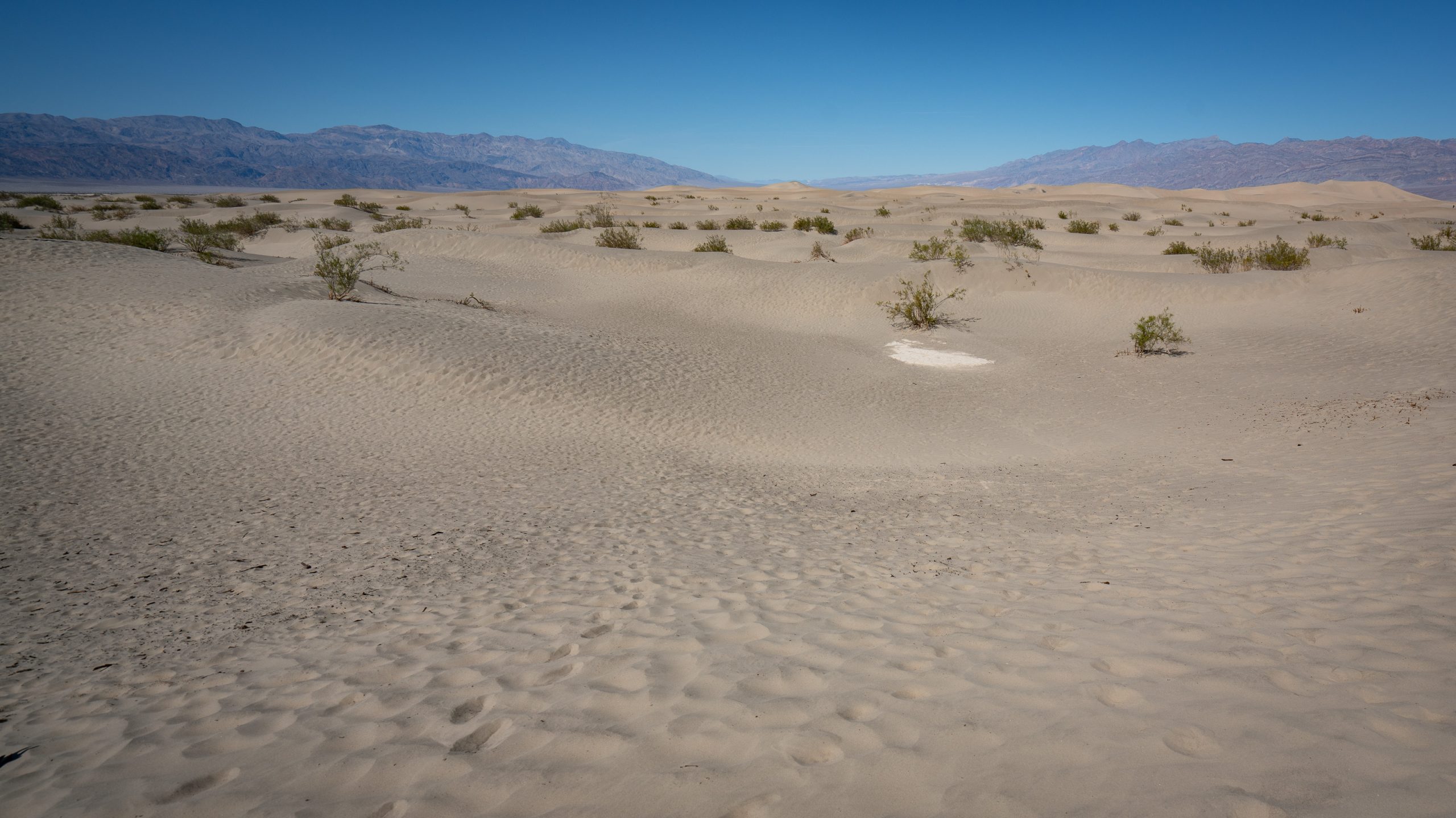
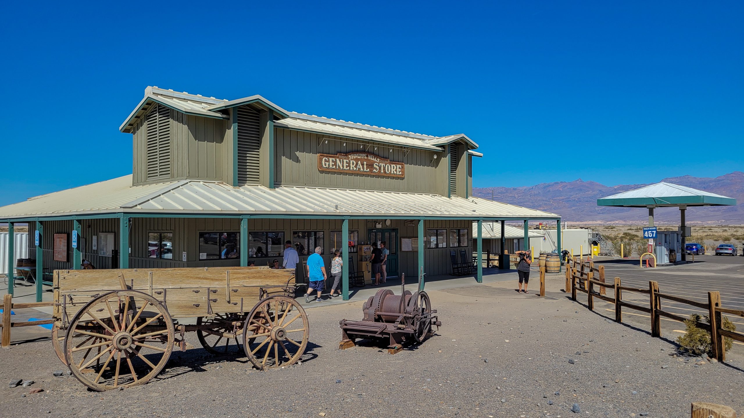
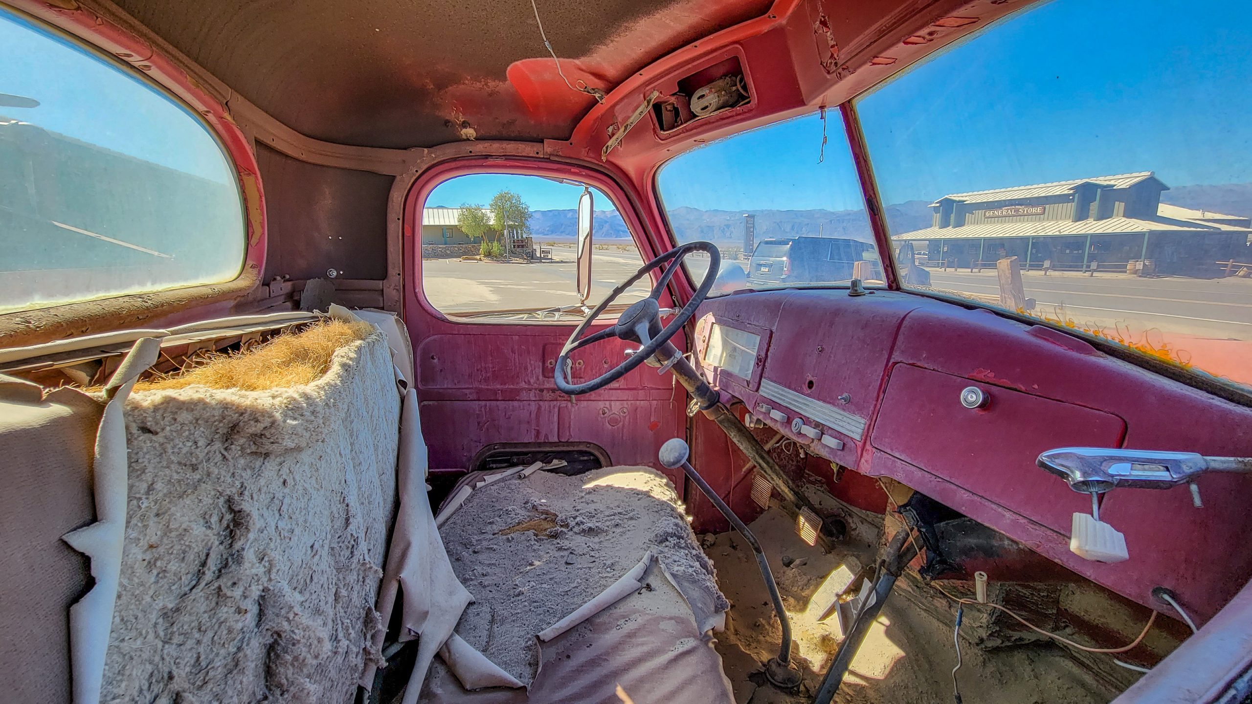
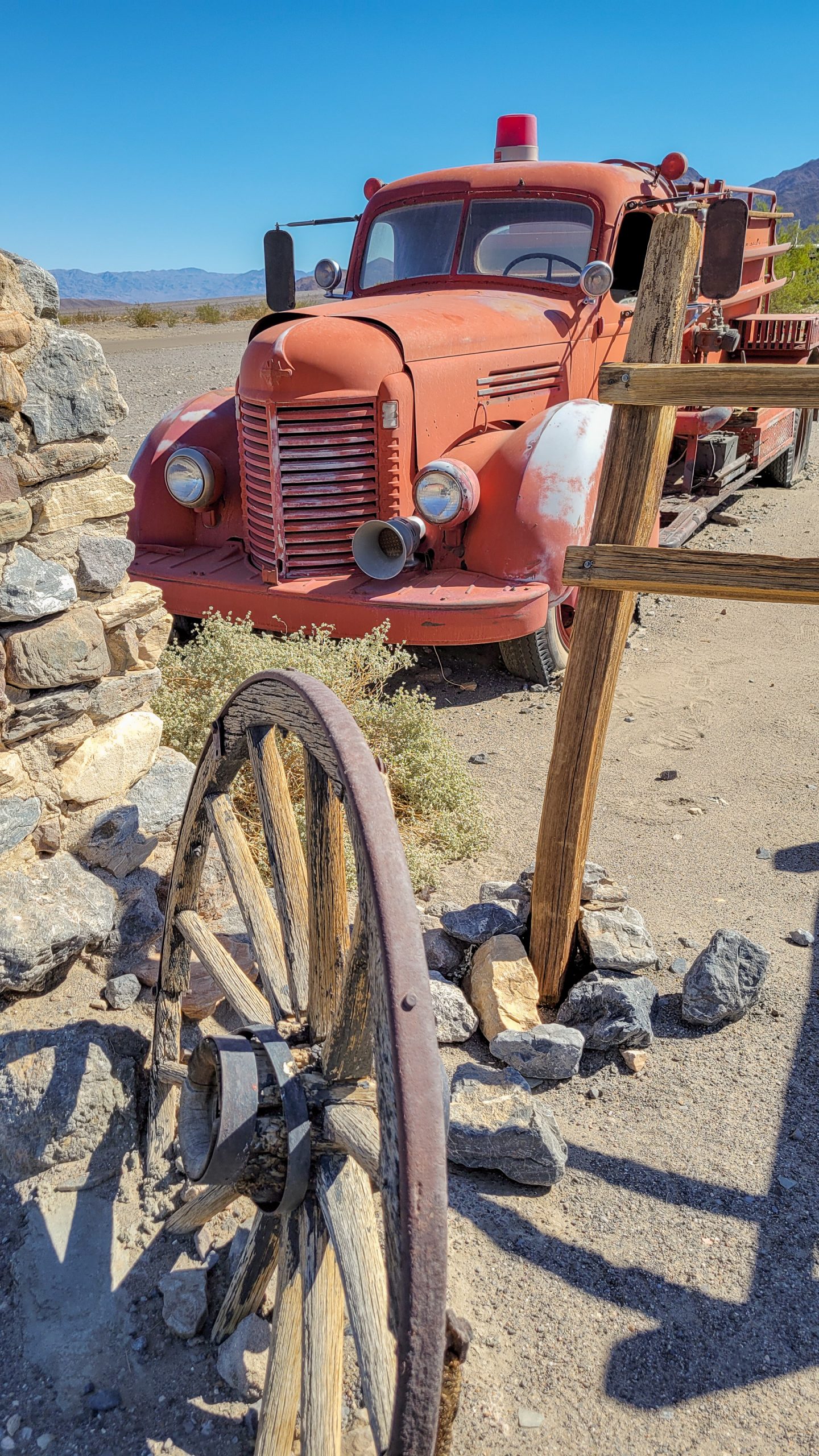
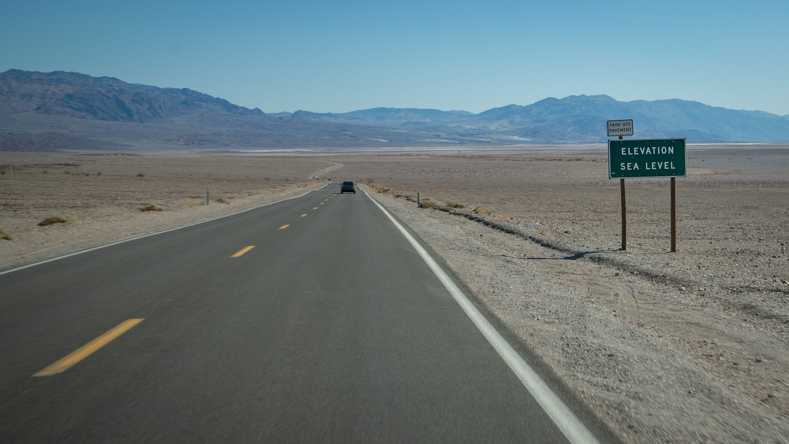
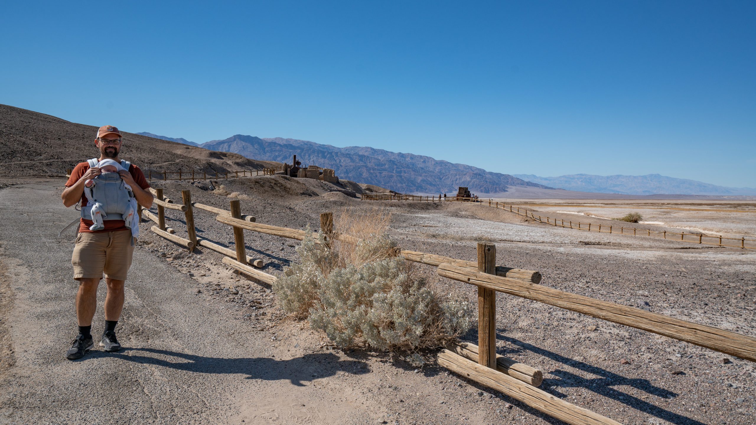
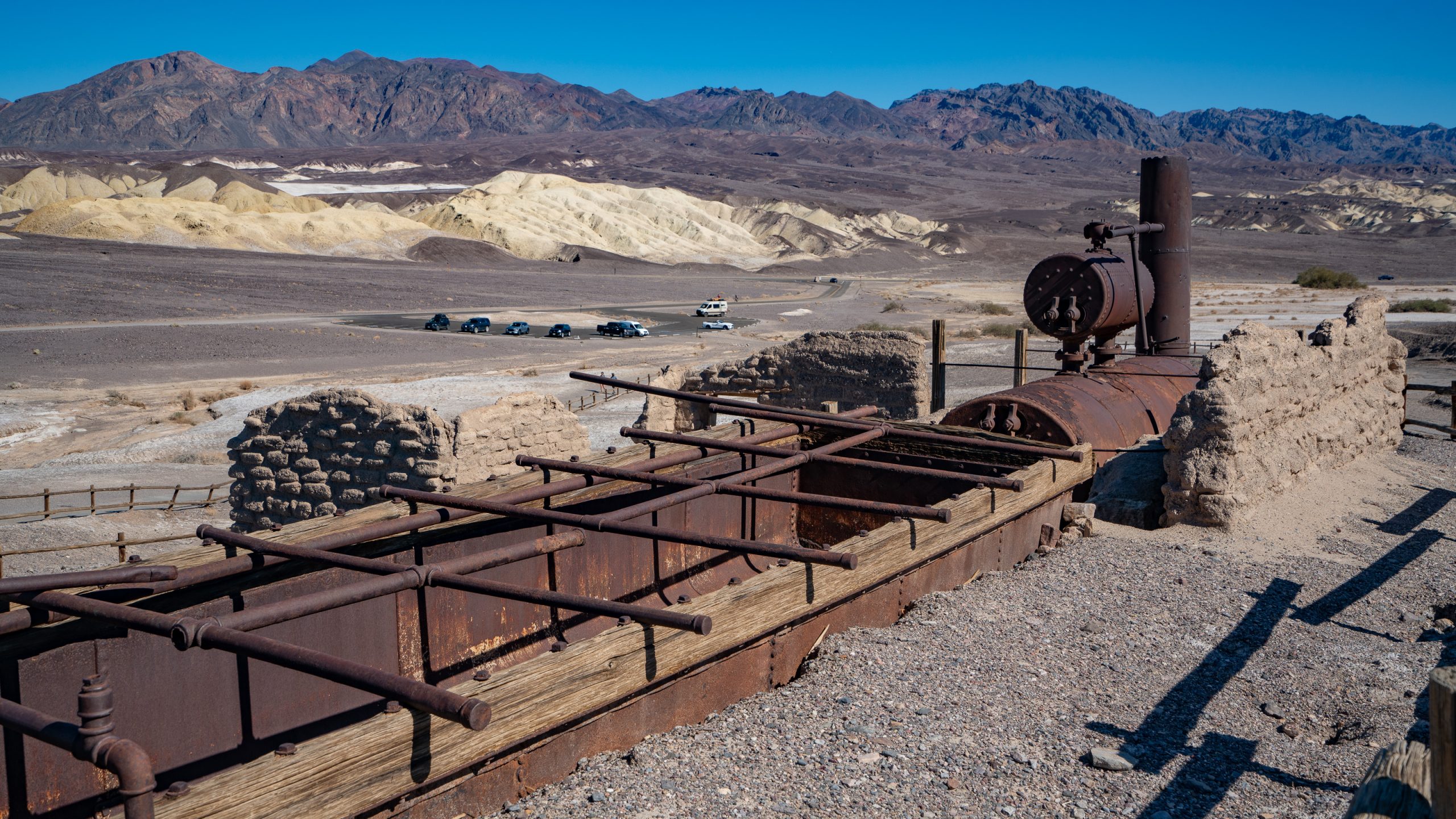
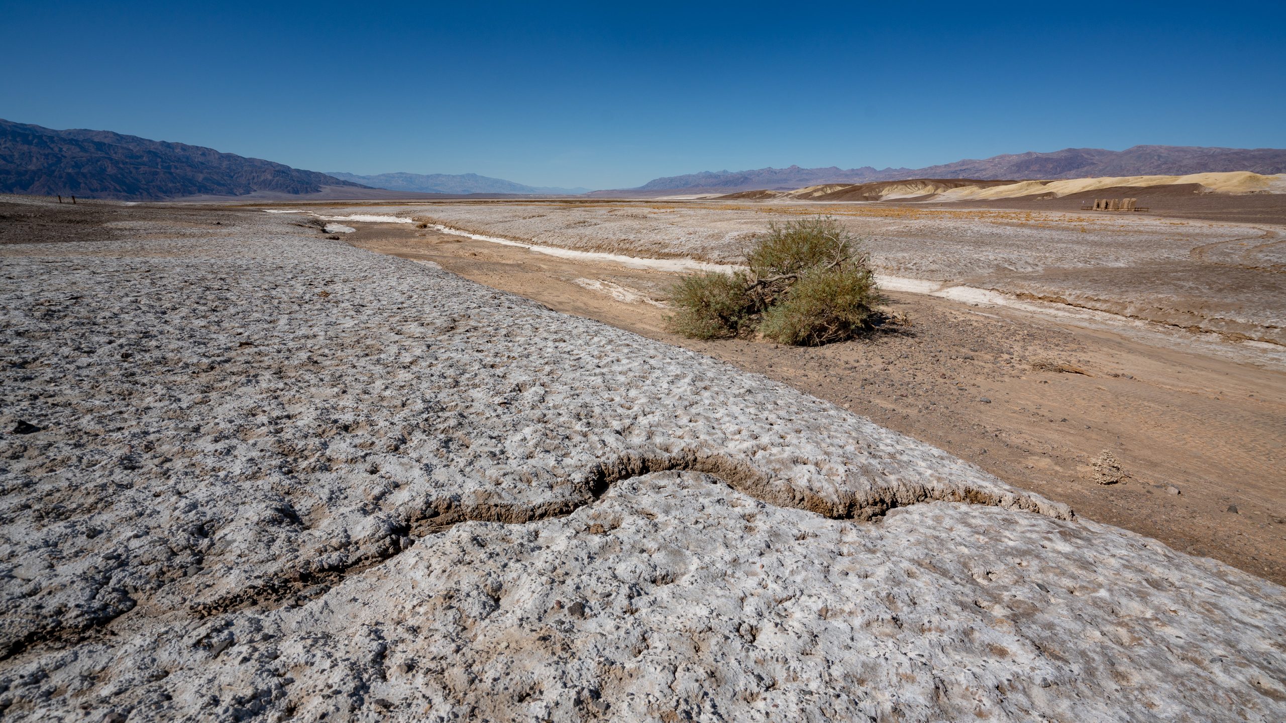
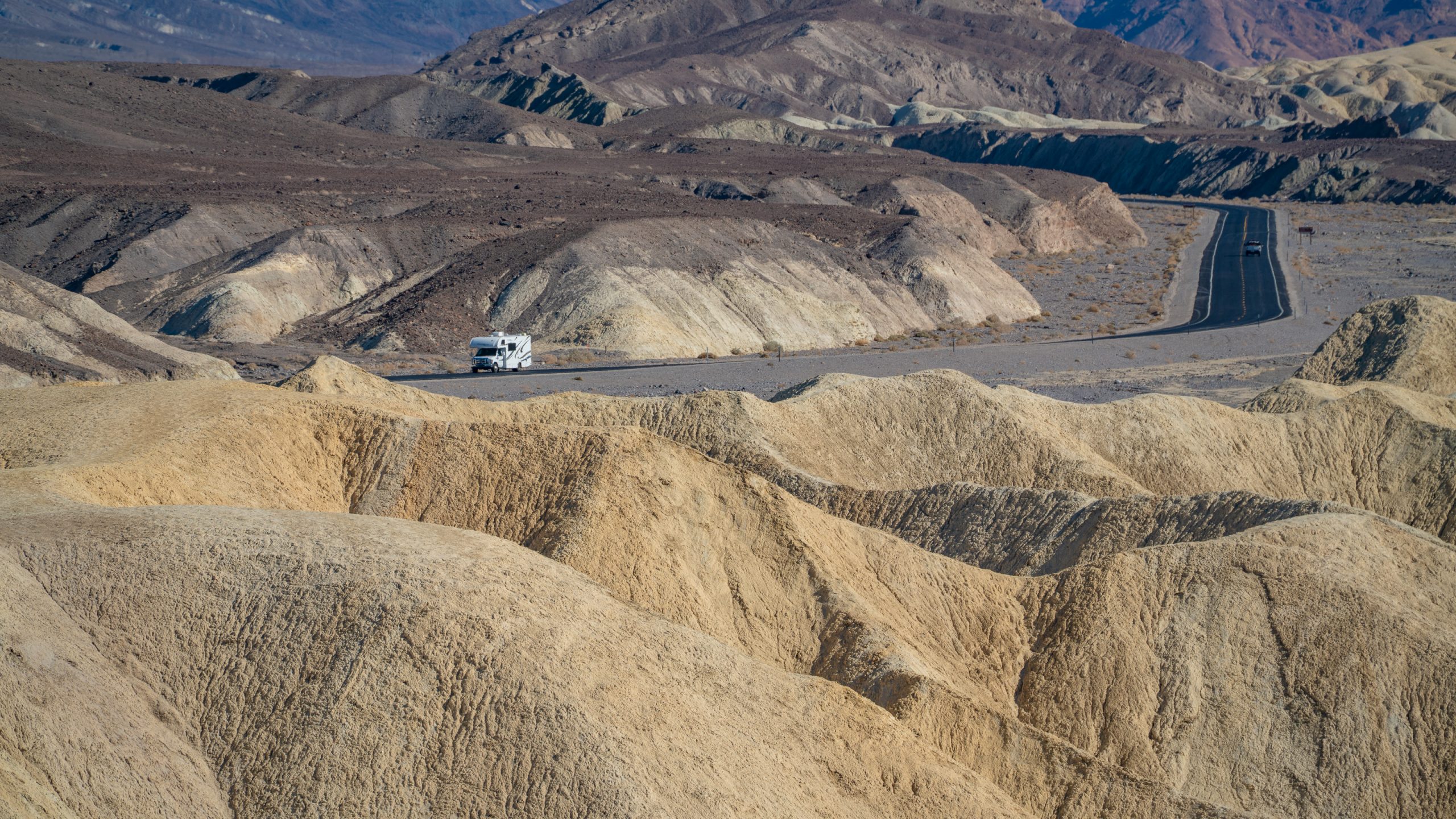
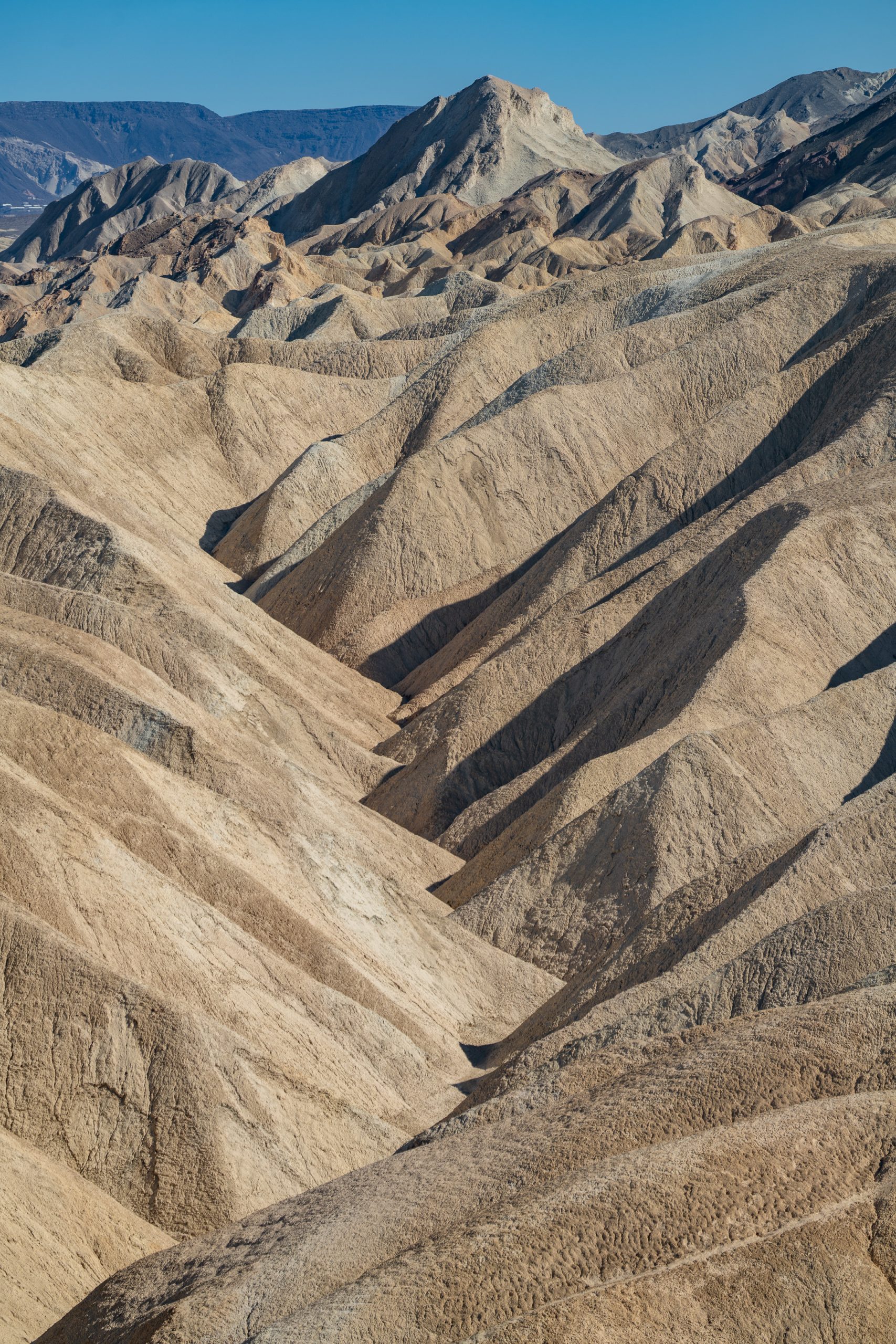
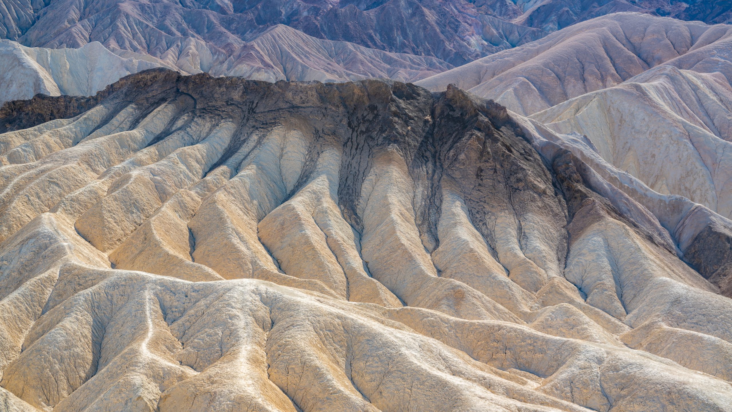
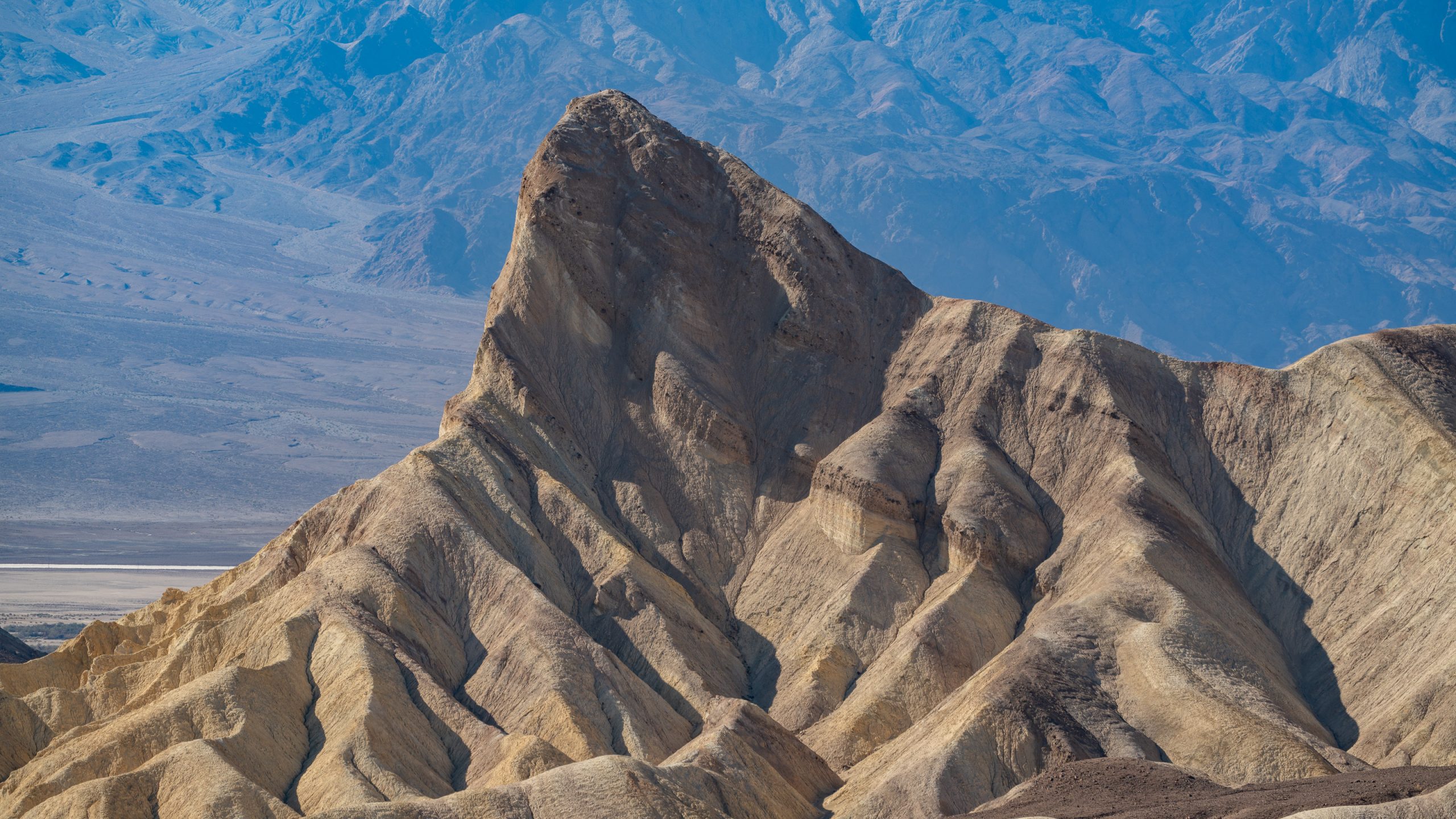
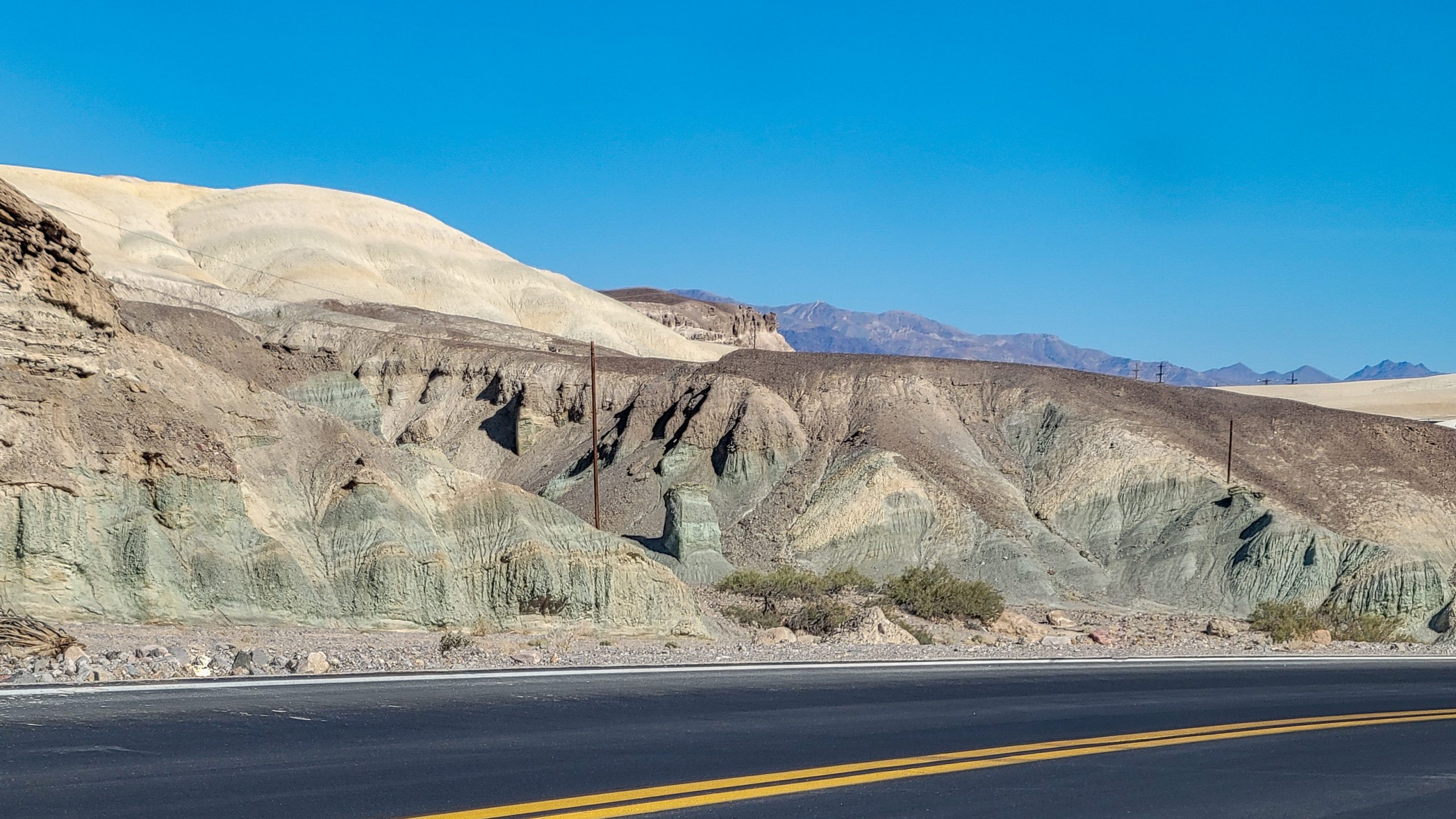
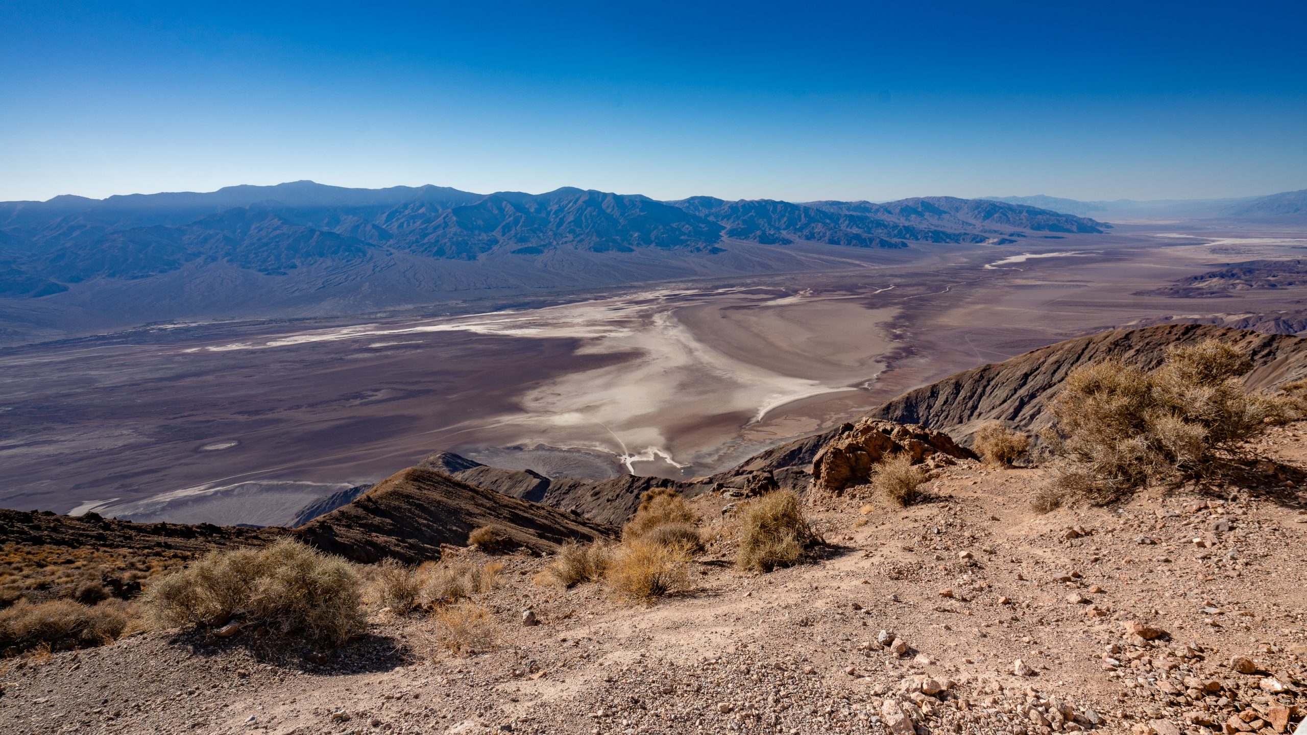
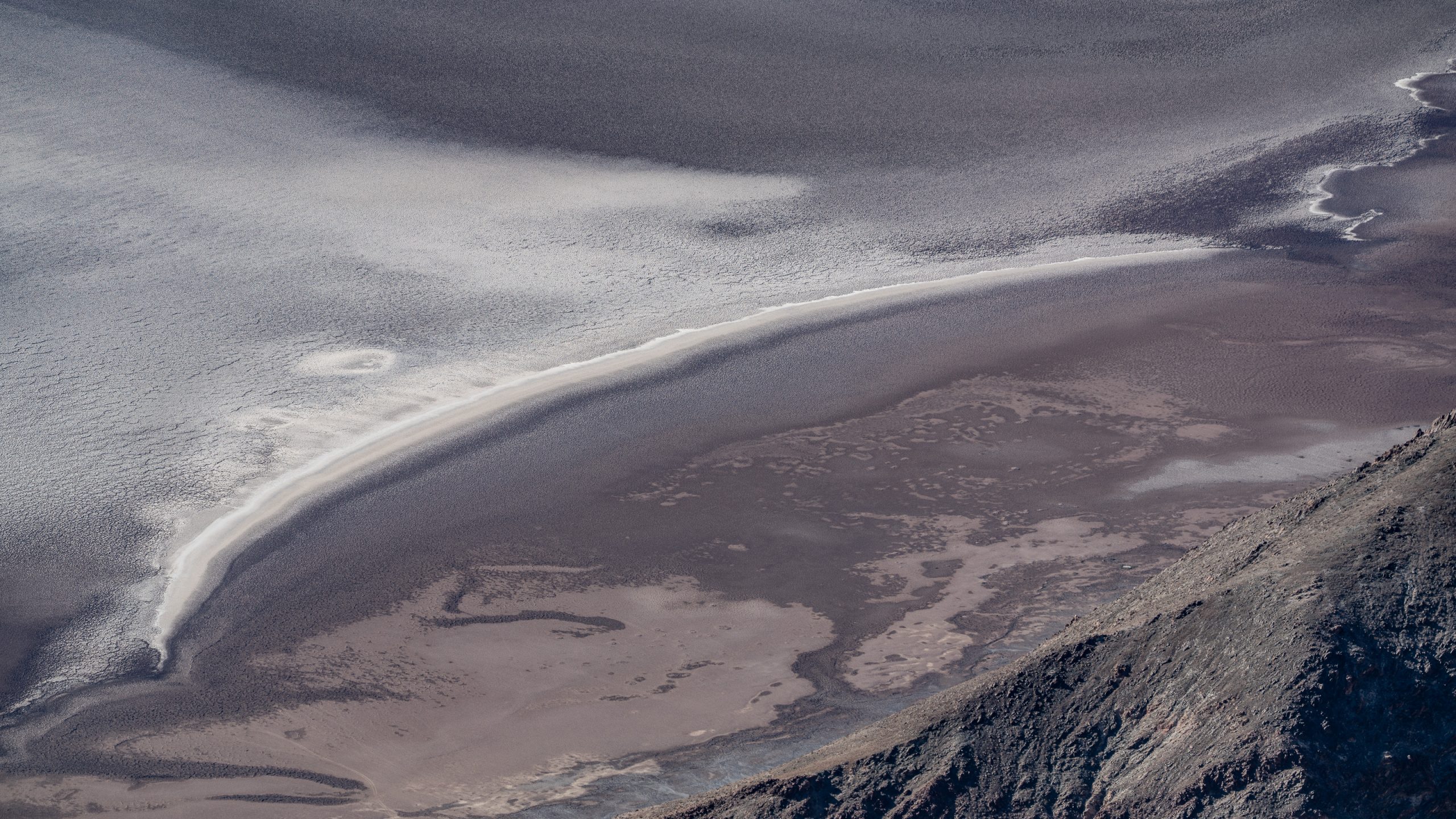
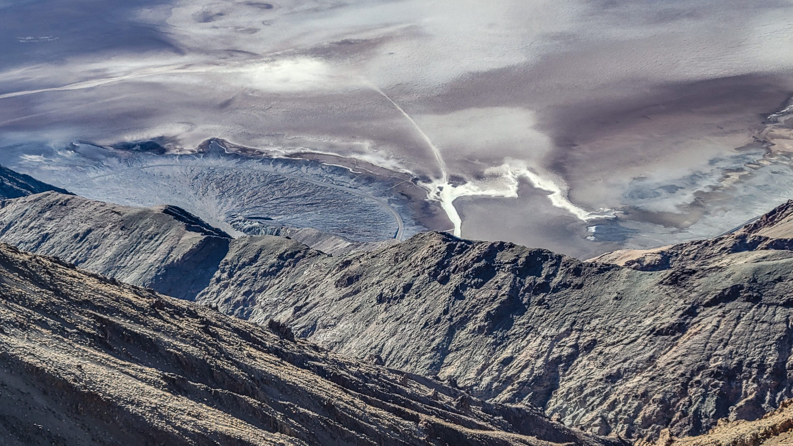
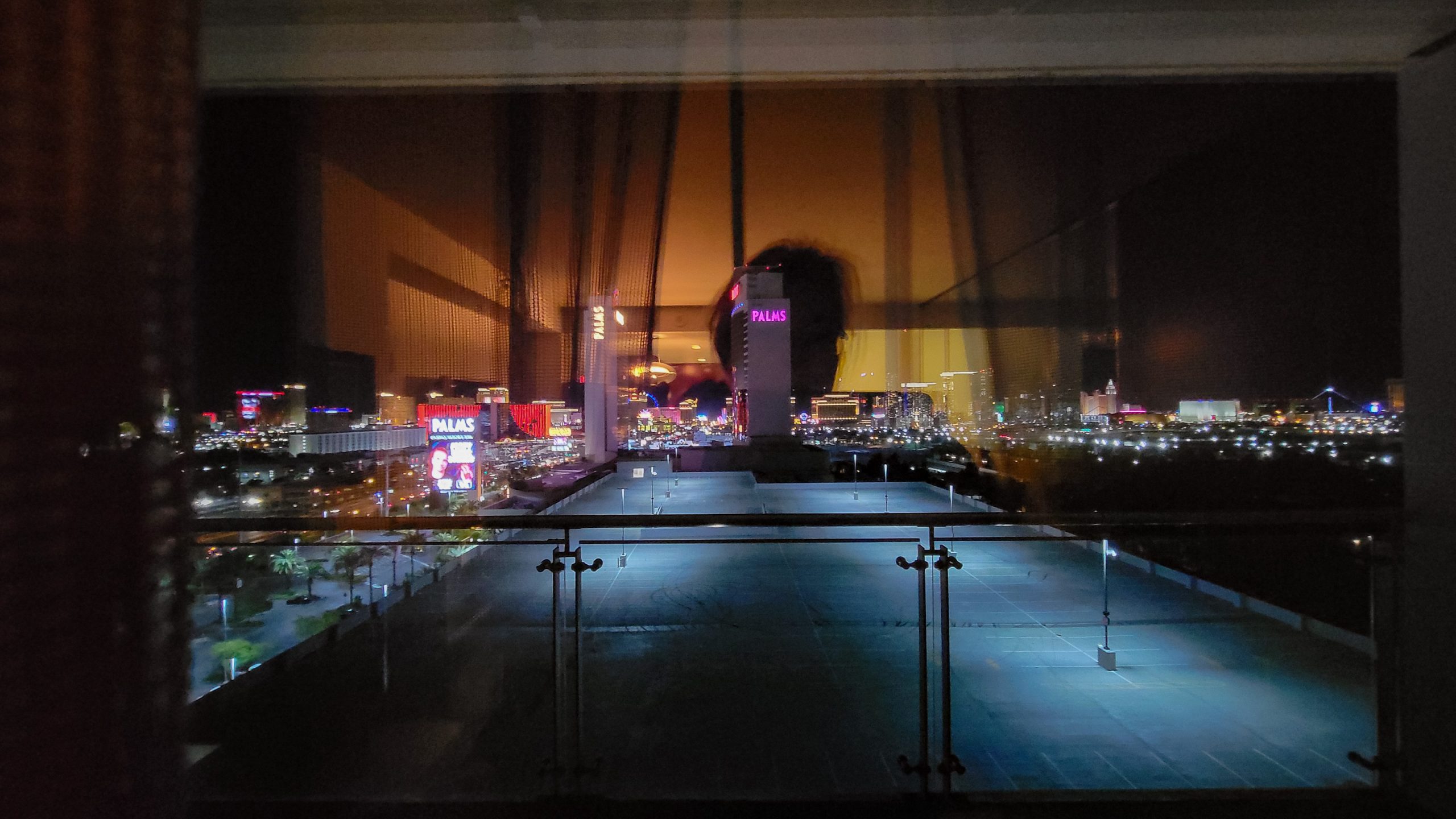
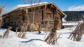
Joshua tree country!After some days in Owens Valley, we go east on Hwy 190.The western boundary of the Death Valley National Park approaches.The highway seems endless.Father Crowley Overlook into Panamint Valley.The immensity of that road, how it almost meets the horizon in a point.On the road.Nearing the Mesquite Flat Sand Dunes.Gold and pink sand so high you wish you had brought your body board.Immensely sandy.The Stovepipe Wells General Store.The insides of California Historical Landmark 441.“Near this monument, the Jayhawker group of Death Valley ’49ers, gold seekers from the Middle West who entered Death Valley in 1849 seeking a short route to the mines of central California, burned their wagons, dried the meat of some oxen and, with surviving animals, struggled westward on foot.”It gets considerably warmer by the mile, and now we’re even under sea level!Reaching the Harmony Borax WorksThe works ceased operations over 130 years ago, but the remains of the plant have been preserved and are on display near the park headquarters. San Francisco businessman William T. Coleman built this plant to refine “cottonball” borax found on the nearby salt flats. The high cost of transportation made it necessary to refine the borax here rather than carry both borax and waste to the railroad, 165 miles across the desert.Furnace Creek.Zabriskie Point.Overlooking the Golden Canyon, a busy vista point at sunset, they say.Different minerals, different shades of rock.Zabriskie Point is a part of the Amargosa Range located east of Death Valley. It is composed of sediments from Furnace Creek Lake, which dried up 5 million years ago -long before Death Valley came into existence.Volcanic ash deposits form the greens in these hills.Dante’s View over the Death Valley. From here you can see Mt Whitney (the highest mountain in the US) and Badwater (lowest point).People look like little ants, down there. Badwater Basin is an endorheic basin in Death Valley, California, noted as the lowest point in North America, with a depth of 86 m below sea level.What looks like a crater is actually the bottom part of a wash that falls down the Black Mountains.That was a long drive o.O Arriving in Las Vegas after sunset.Can already feel the air brimming with sounds, lights and scents. This is going to be fun!