This National Park is the heart of the Colorado Plateau’s high desert. Though low humidity allows greater penetration of solar radiation, winter air temperatures frequently drop below freezing. In turn, summertime air and especially ground temperatures can reach levels lethal for many organisms. After sunset, the ground rapidly loses heat to the night sky and ambient air temperatures may drop significantly before dawn. Temperature fluctuations of 20-22° C in a 24-hour period are not uncommon.
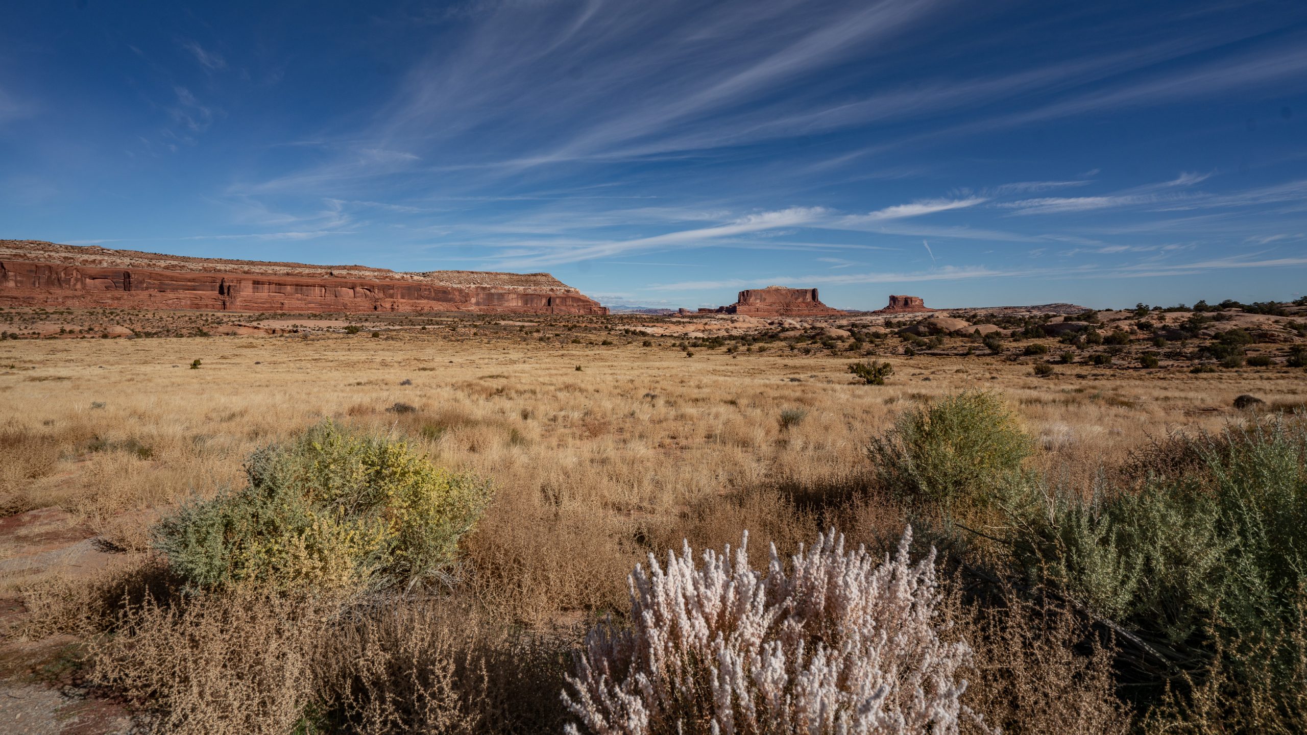
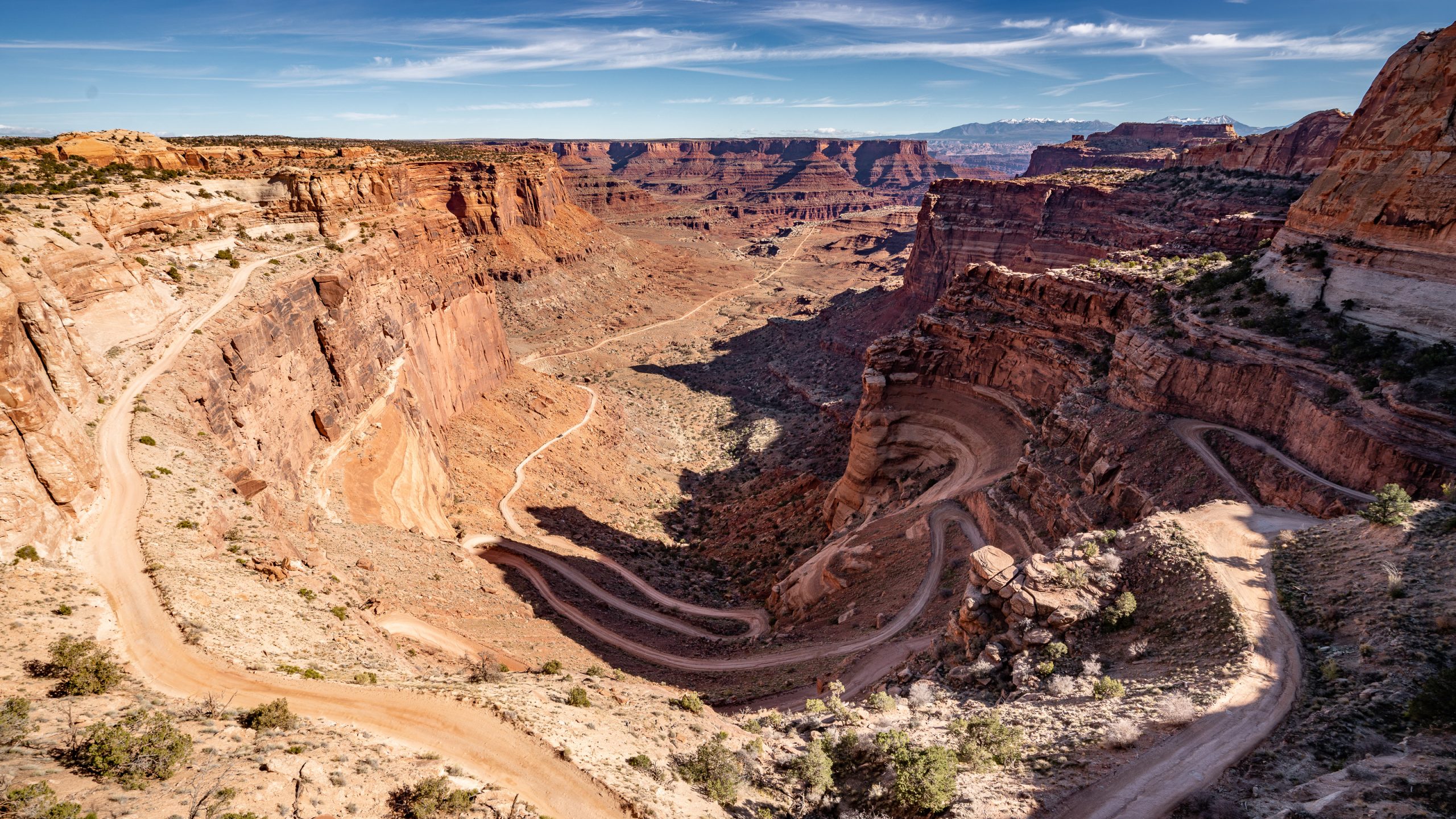
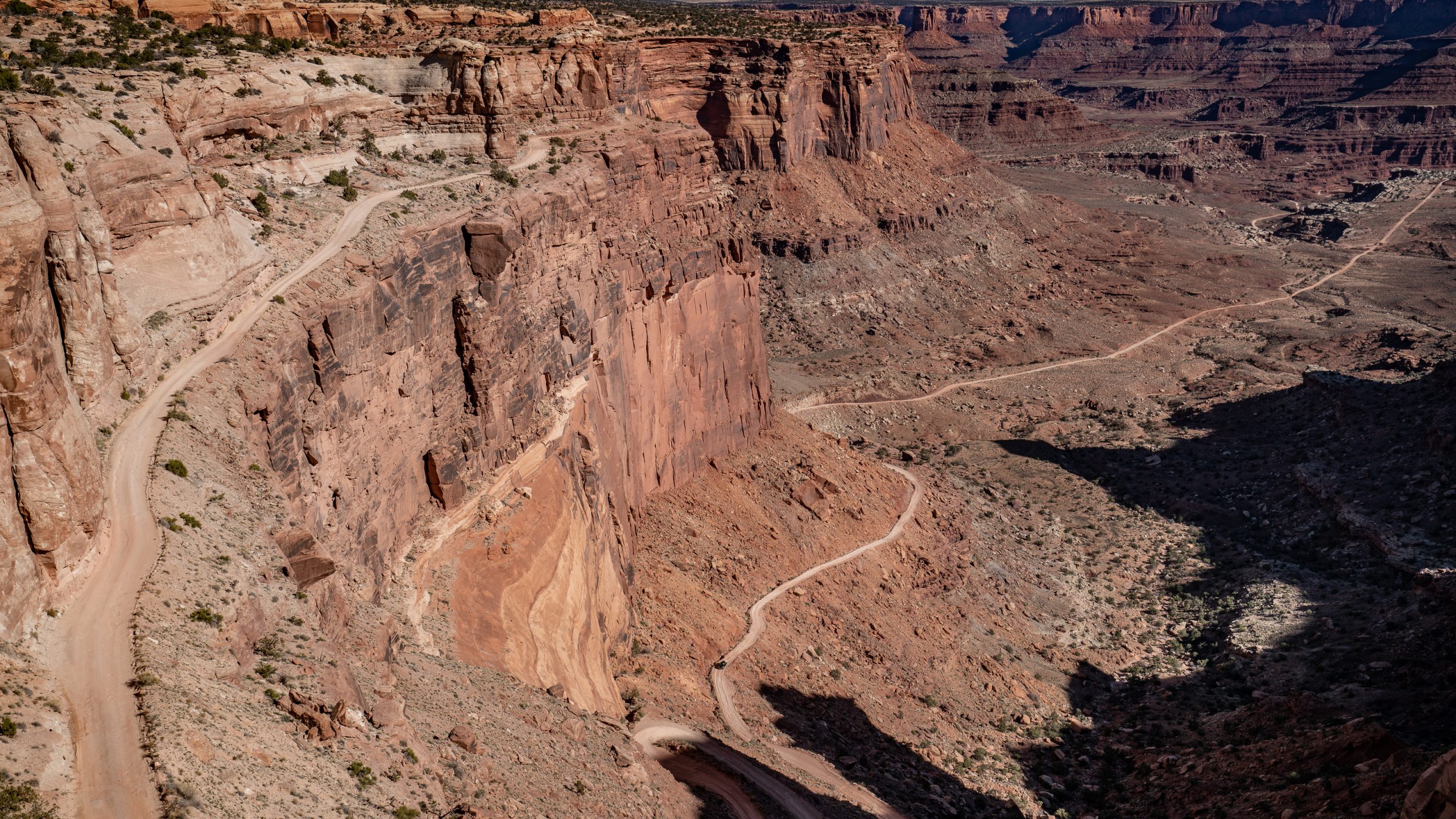
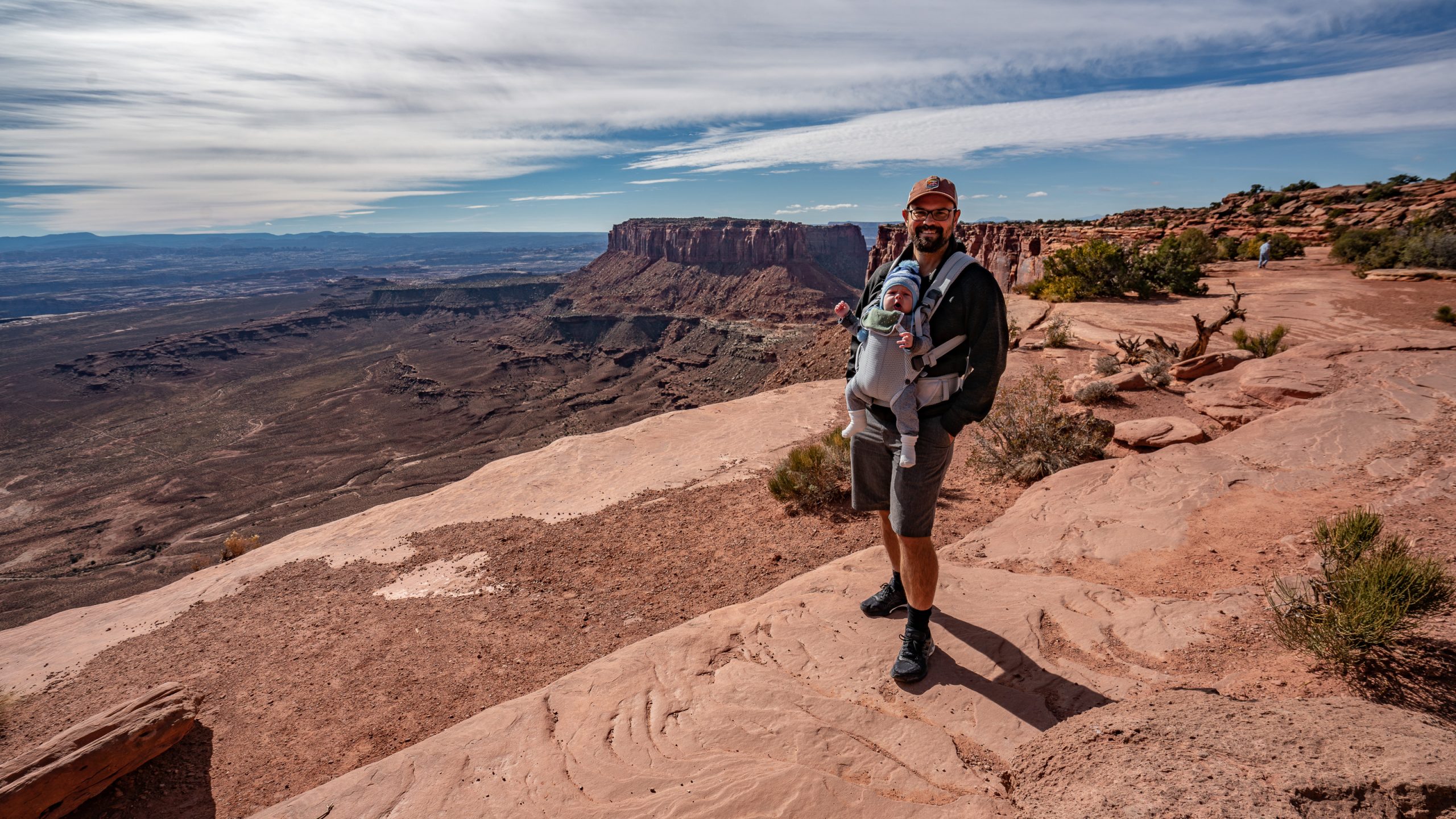
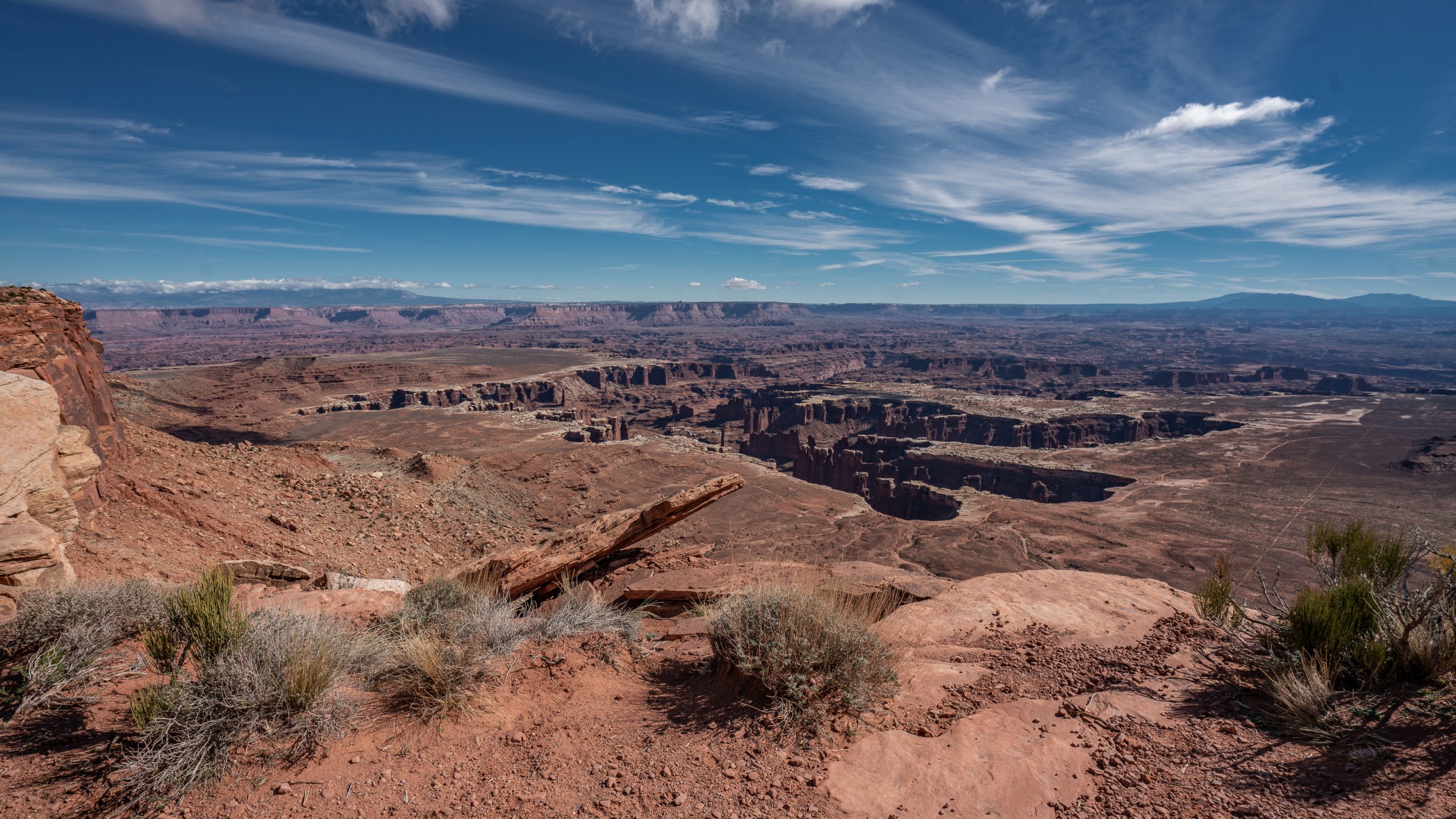
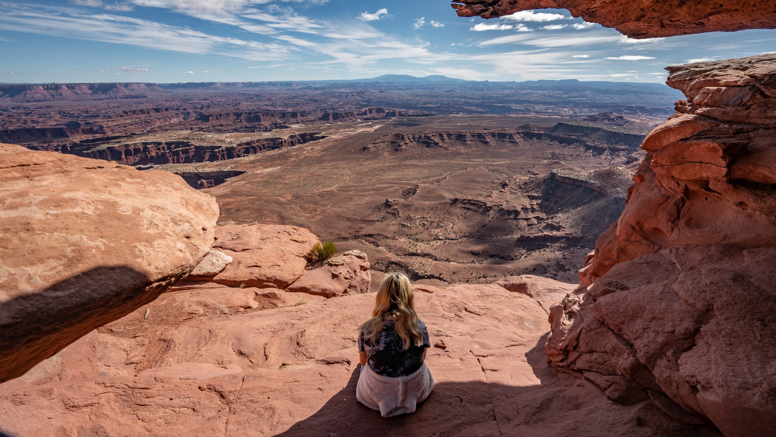
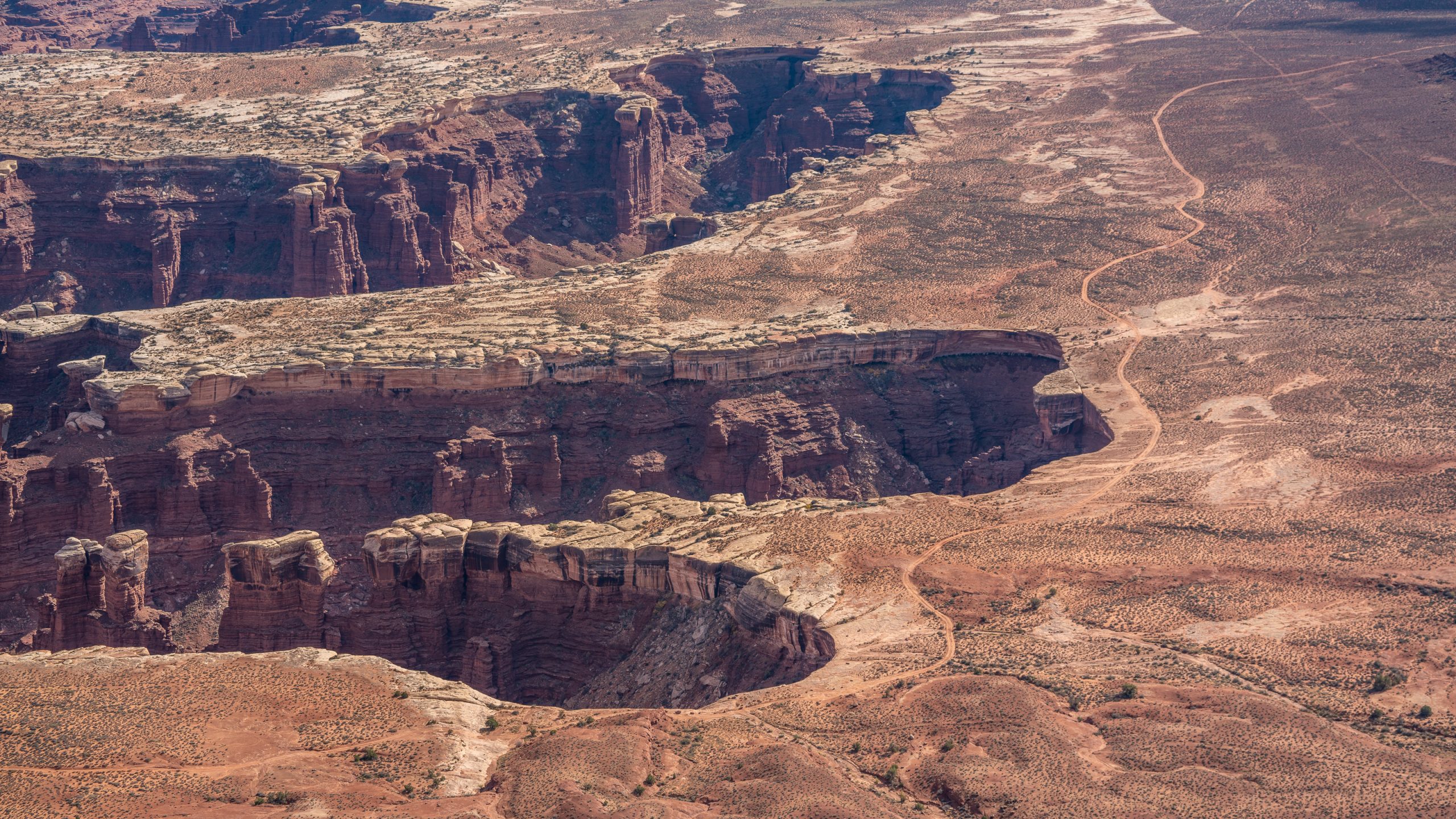
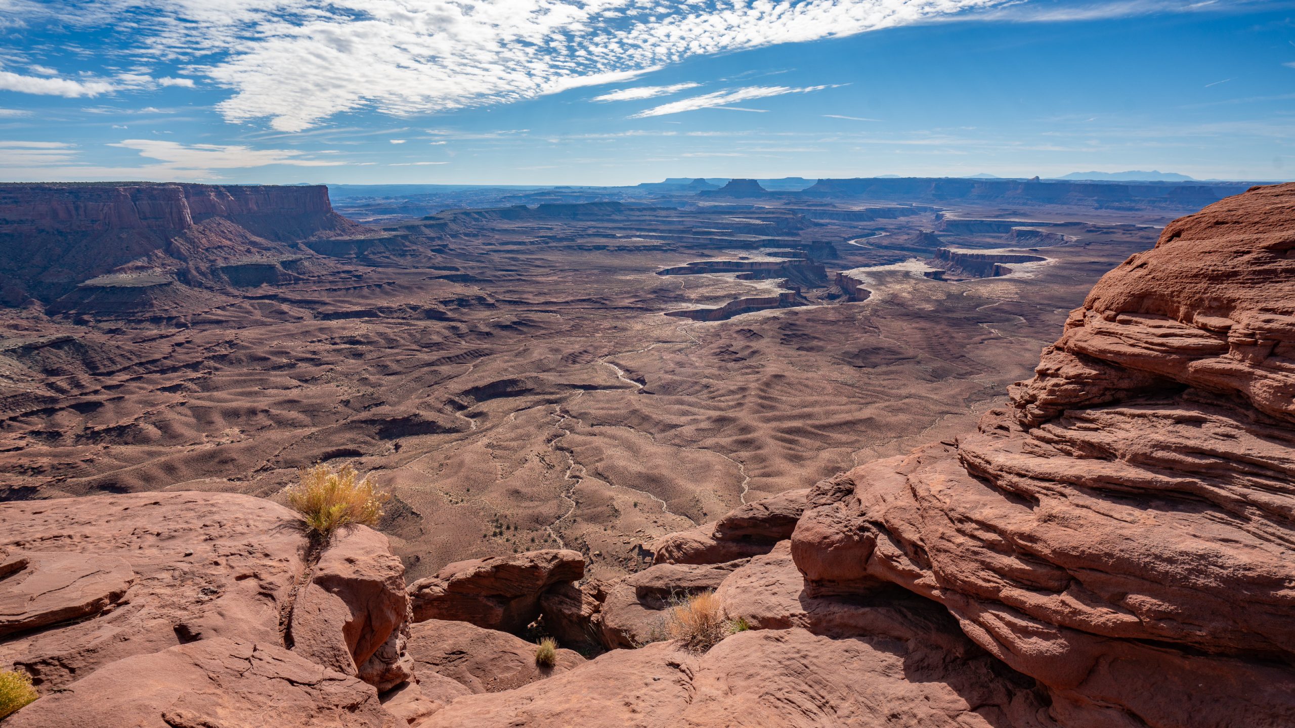
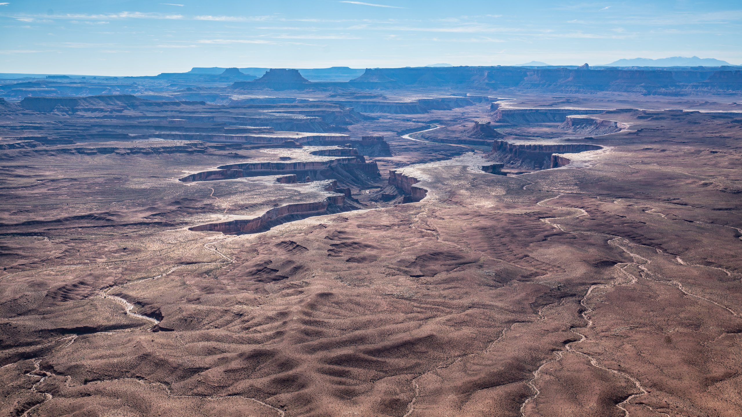
Canyonlands receives more precipitation than many other deserts: about 9 inches annually. August is generally the wettest month, as weather systems from the southwest bring brief, intense tropical storms. However, precipitation is highly variable both temporally and spatially. During a single storm, one area may receive significantly more or less water than a neighboring spot less than a mile away. – Here Monitor and Merrimac (named after famous warships and the do look a bit like ships on the horizon)The Colorado and Green rivers wind through the heart of Canyonlands, cutting through layered sandstone to form two deep canyons. Both rivers are calm upstream of the Confluence, ideal for canoes, kayaks and other shallow water craft. Below the Confluence, the combined flow of both rivers spills down Cataract Canyon with remarkable speed and power, creating a world-class stretch of white water.The Shafer Road. If you own a 4WD and are good with heights, a must go down! Major vista point alert! We just watched from above.It takes roughly 2 hours to do this drive. It may take longer depending on how frequently you stop for photos. 17 miles of this road is unpaved. This is the stretch of road starting at the Shafer Canyon switchbacks and ending just past the Potash evaporation ponds.We opted for the much safer Island in the Sky loop drive and added a short 5 km walk to the Grand View Point Lookout.A quick feed and nappy change on the way.Looks a bit like someone pressed their (giant) hand into the stone. That’s the Colorado River down there.A break on the edge.
The White Rim with the White Rim Road (not part of Shafer Trail, extends further to the West and would eventually lead out of the Natl Park through Mineral Road (the Horsethief Trail).
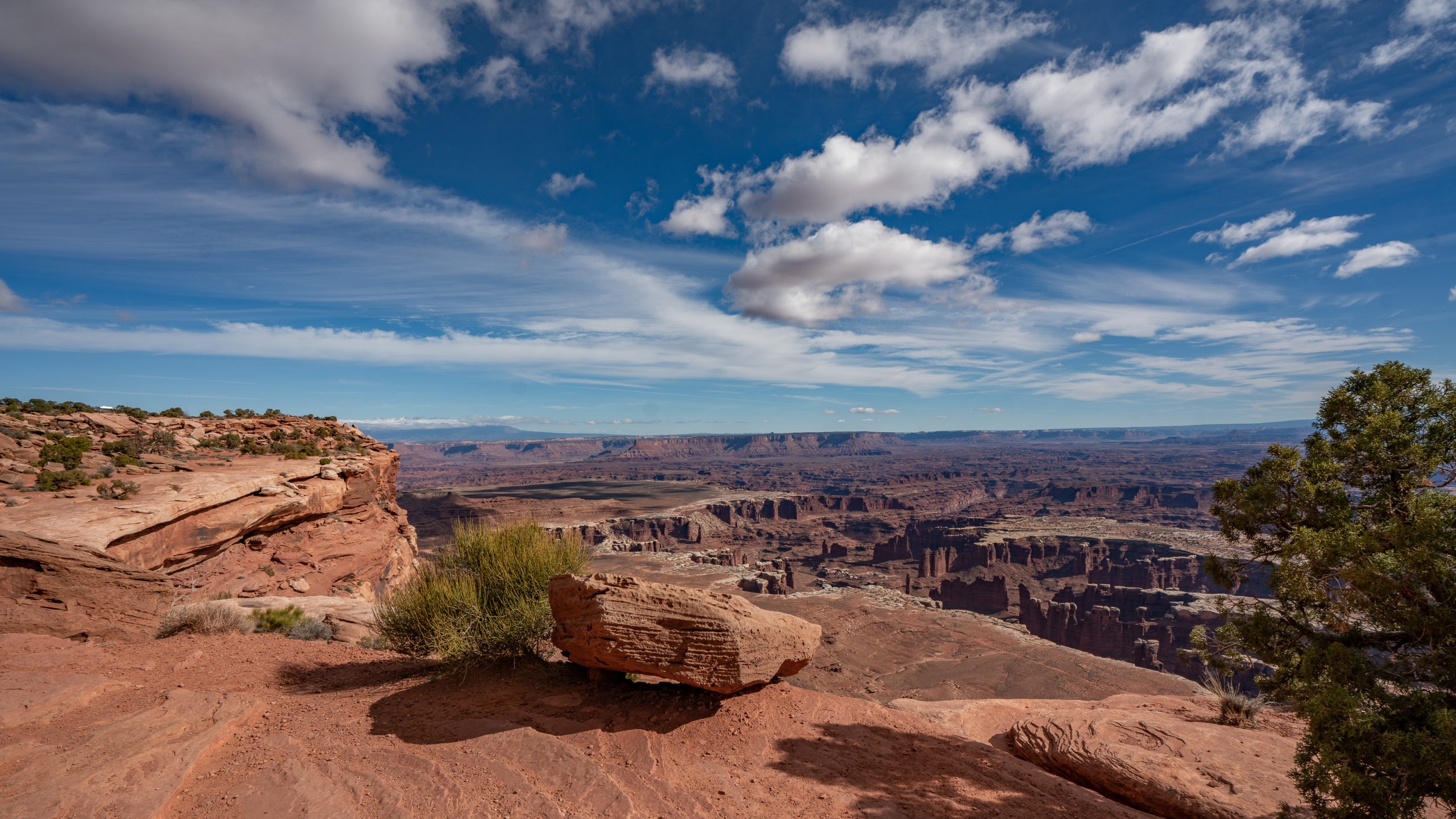
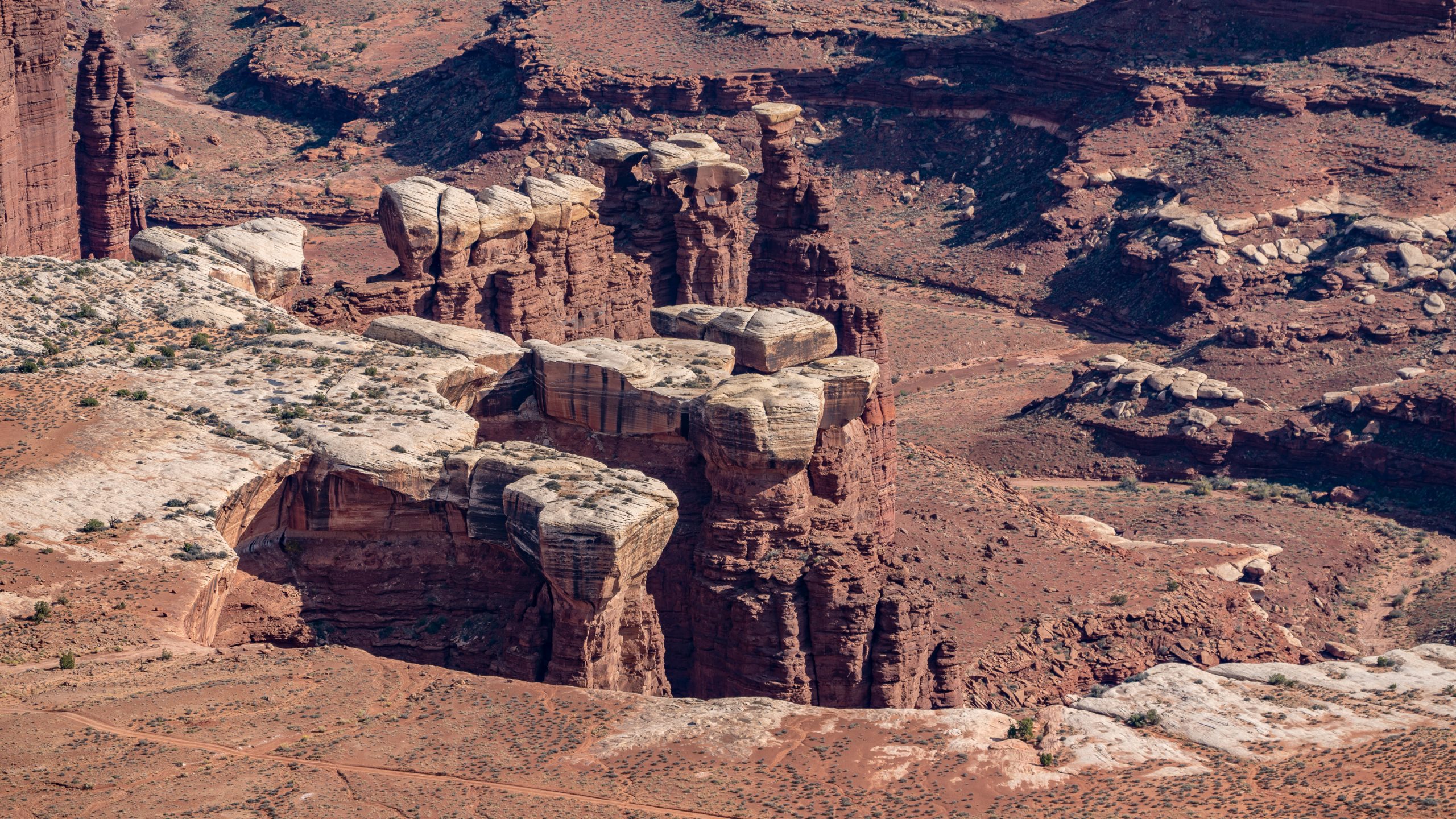
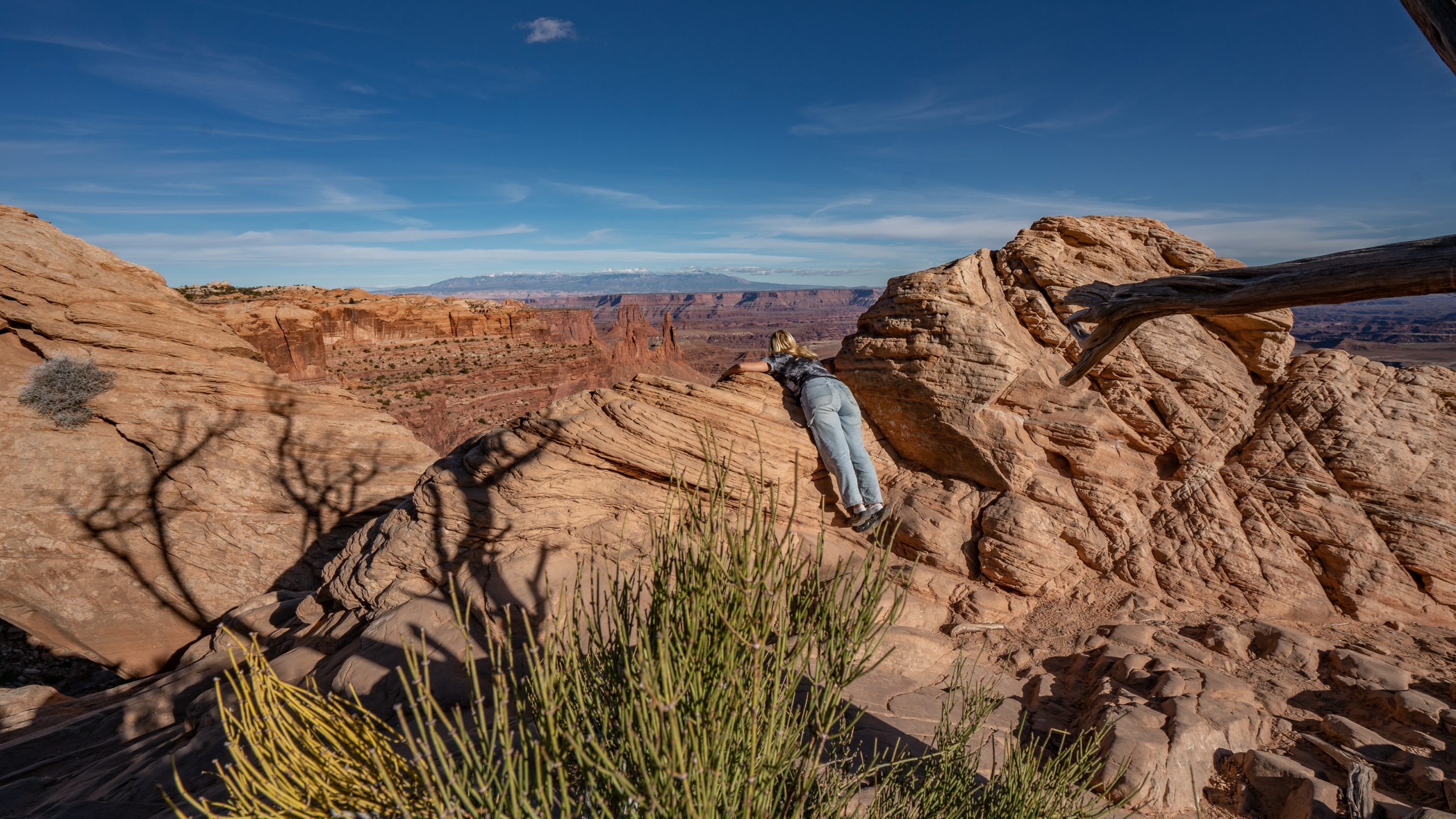
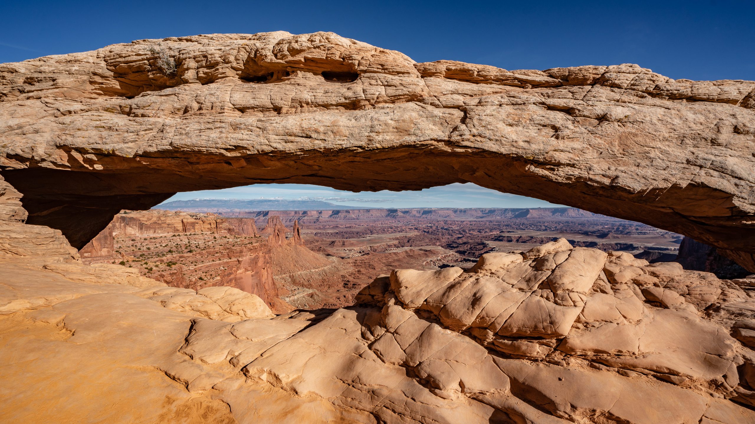
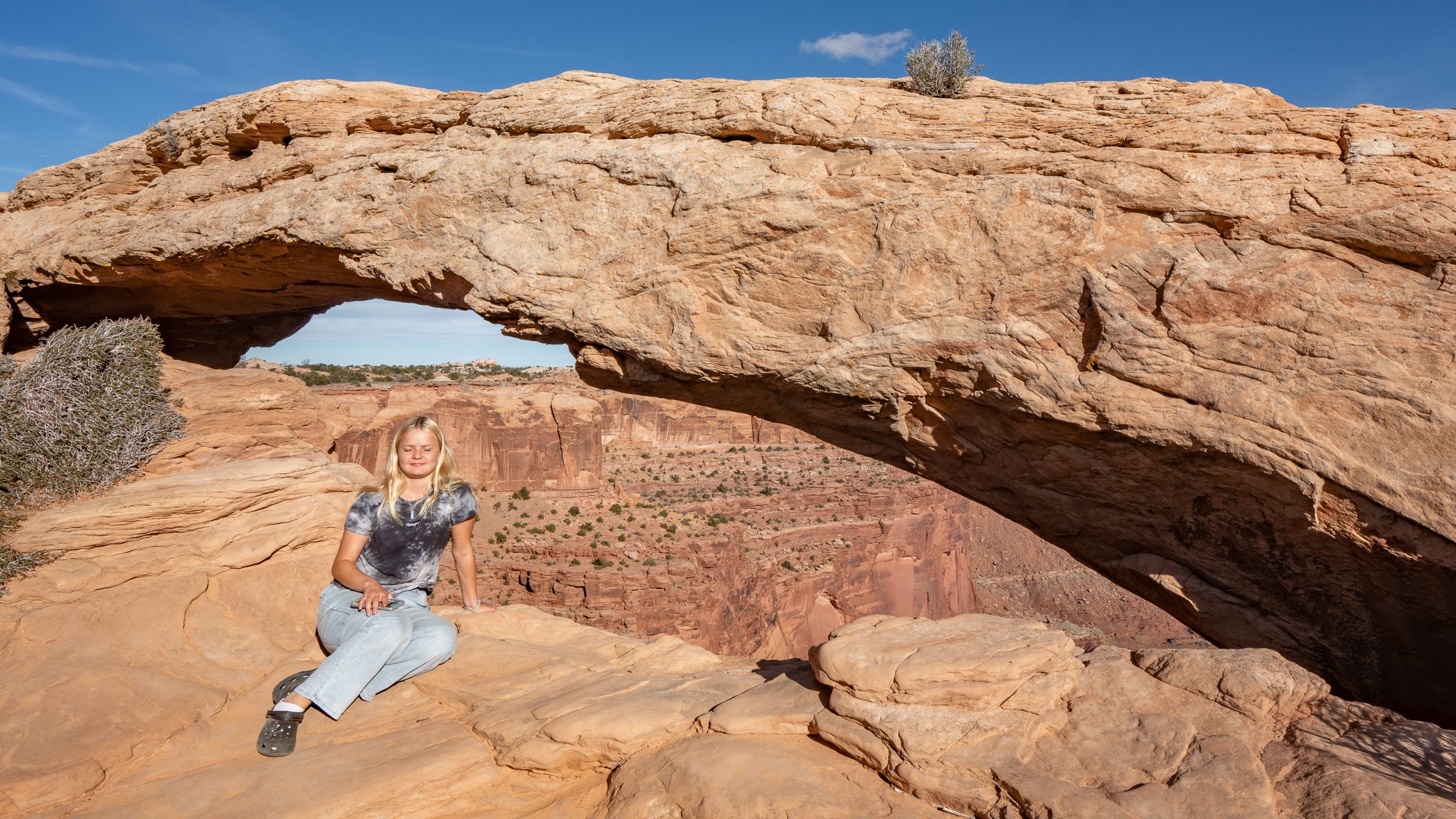
How sedimentary rock weathers depends largely on its exposure to water. An erosion- resistant caprock of White Rim Sandstone may protect a weaker layer of shale until only a thin spire remains.Classic Canyonlands panorama.This girl wants to see it all!The tele lens does, too!Mesa Arch – This pothole arch spans across the mesa’s edge, framing a scenic canyon vista.Hi from Canyonlands!