Is it snow? Can it be? Surely not here, in southern New Mexico! But it certainly looks like snow, especially when the snow plough pushes the sand to the sides on the unpaved road.
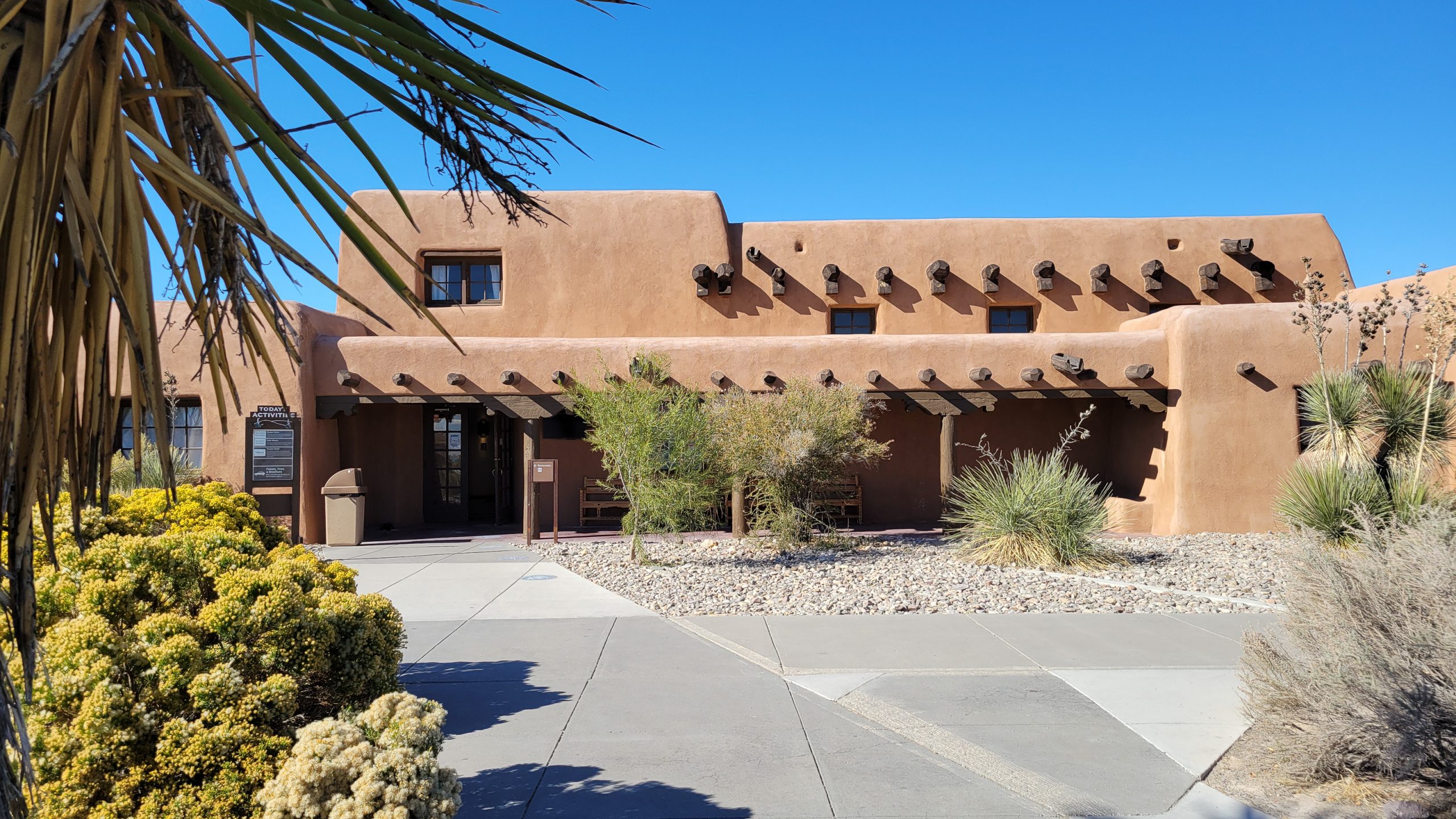
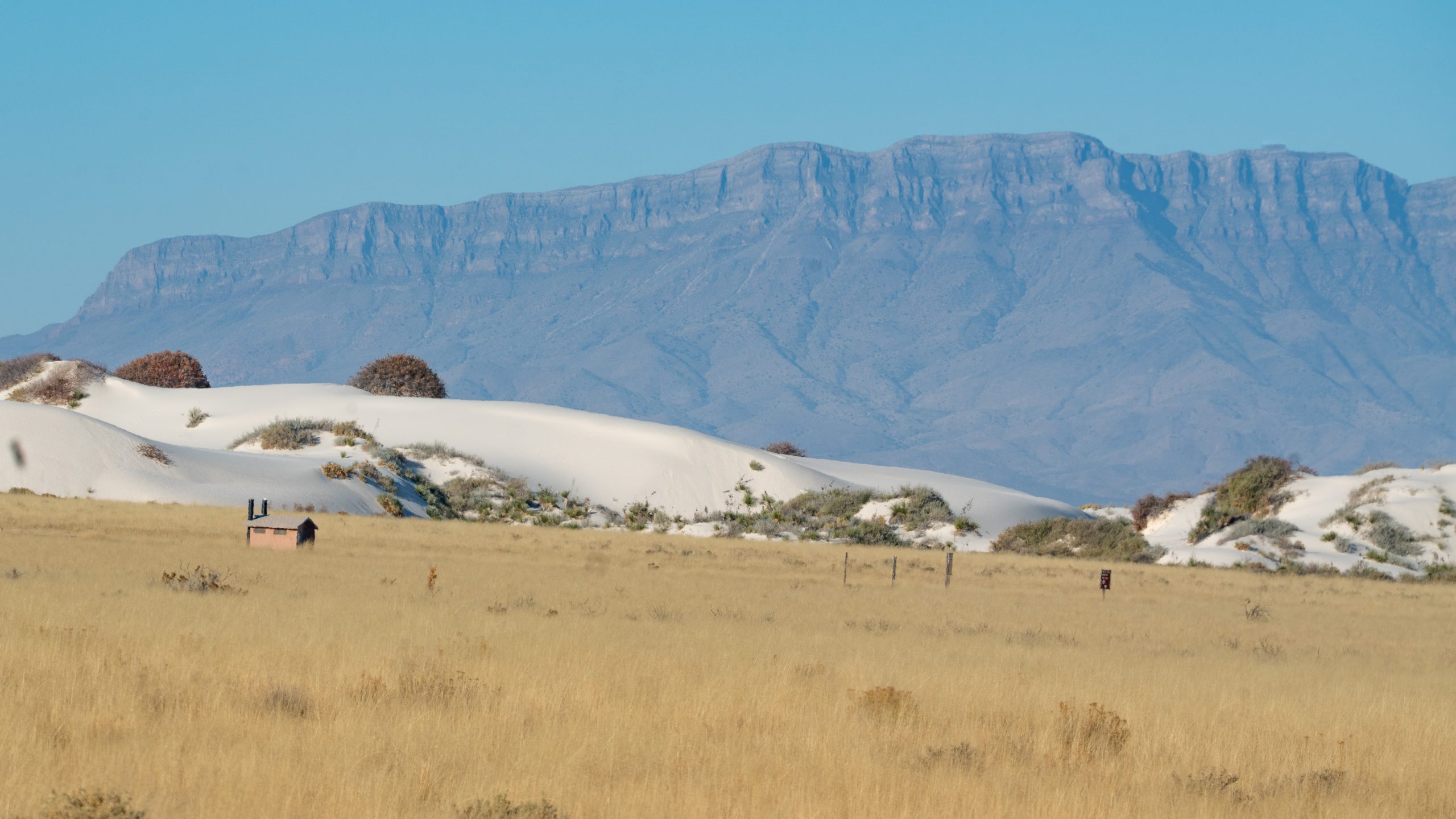
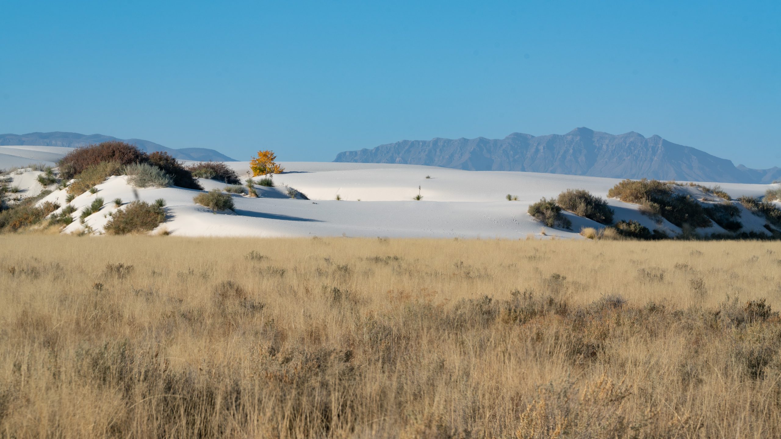
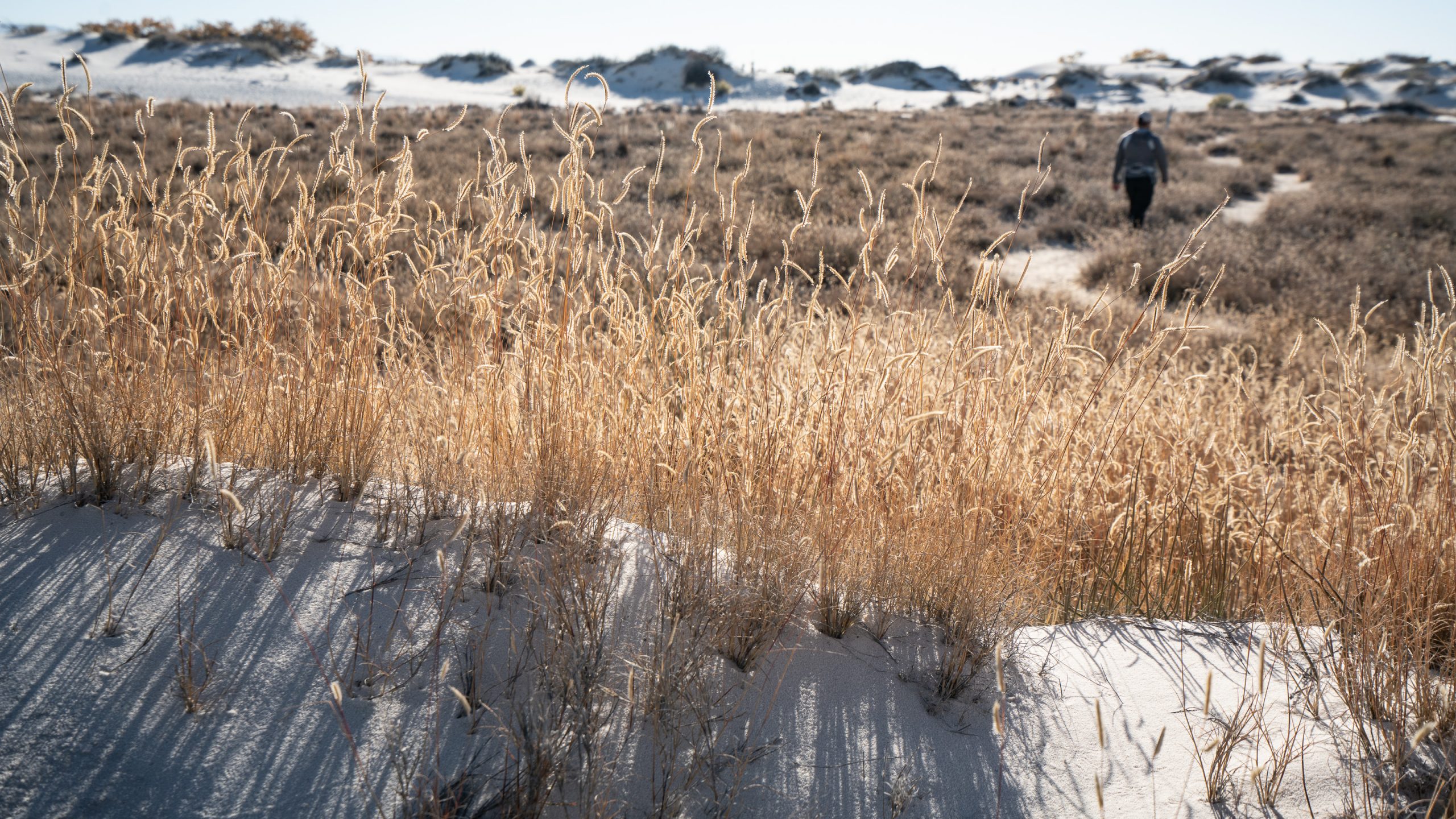
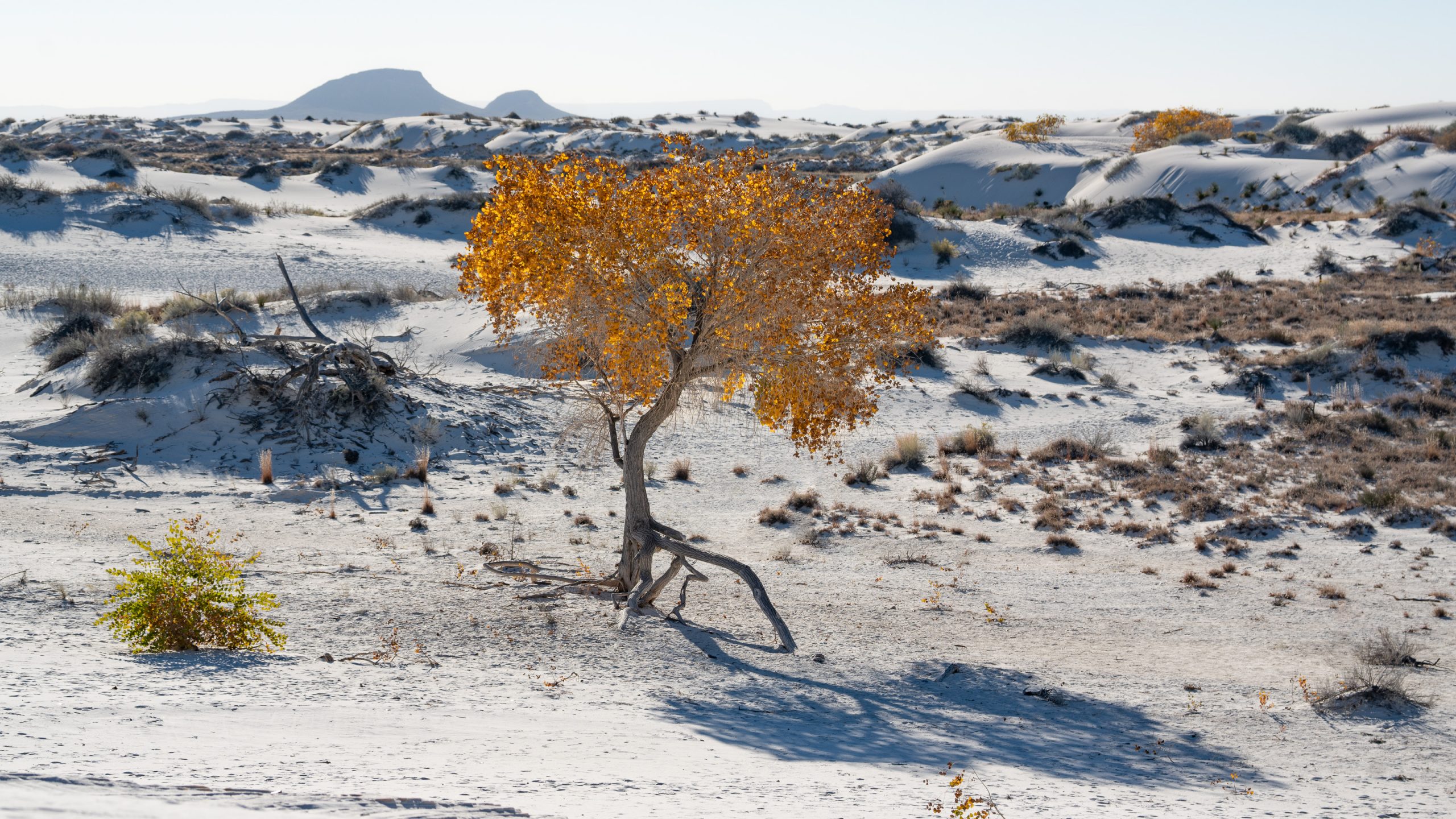
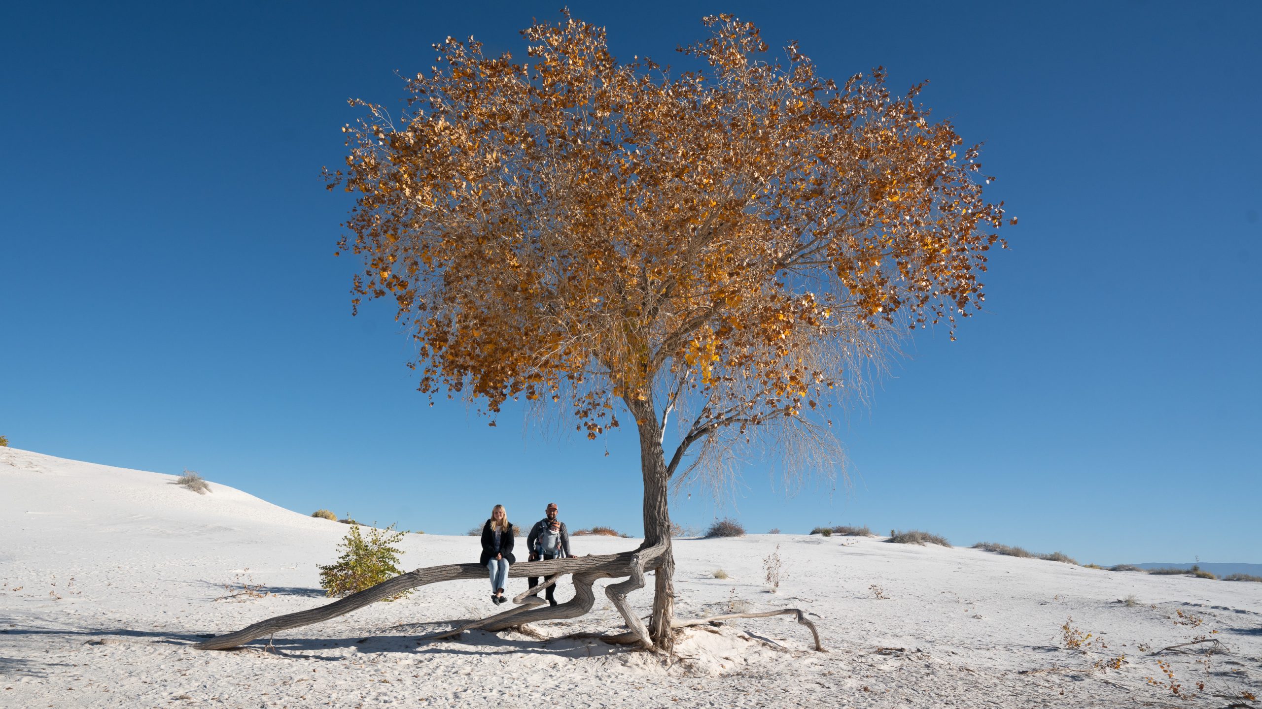
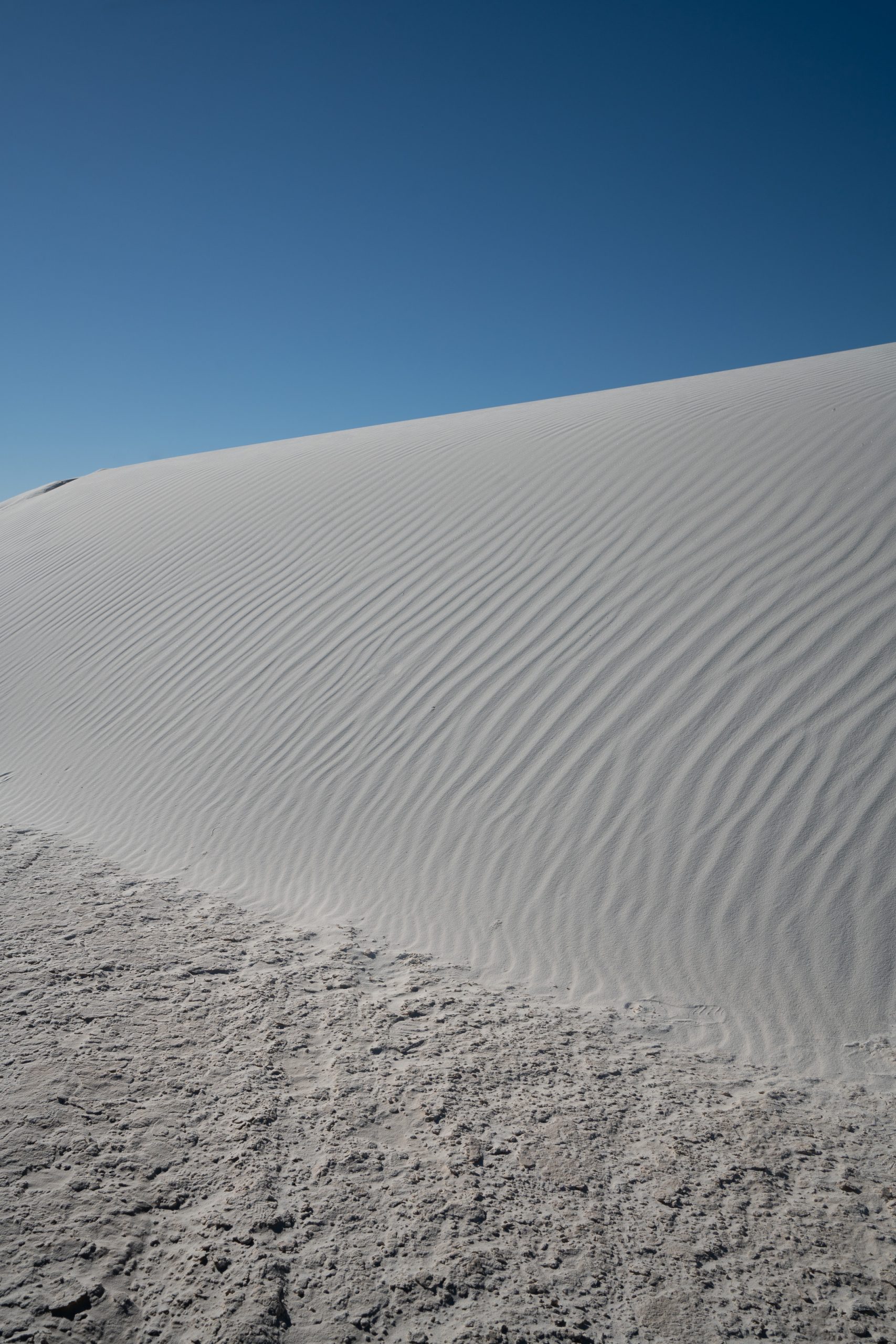
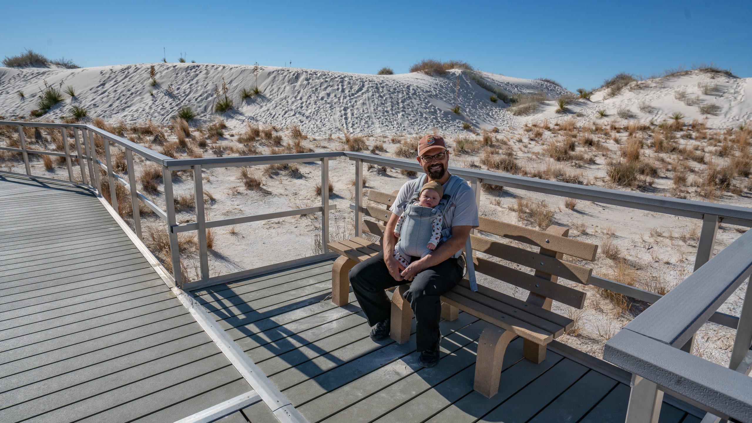
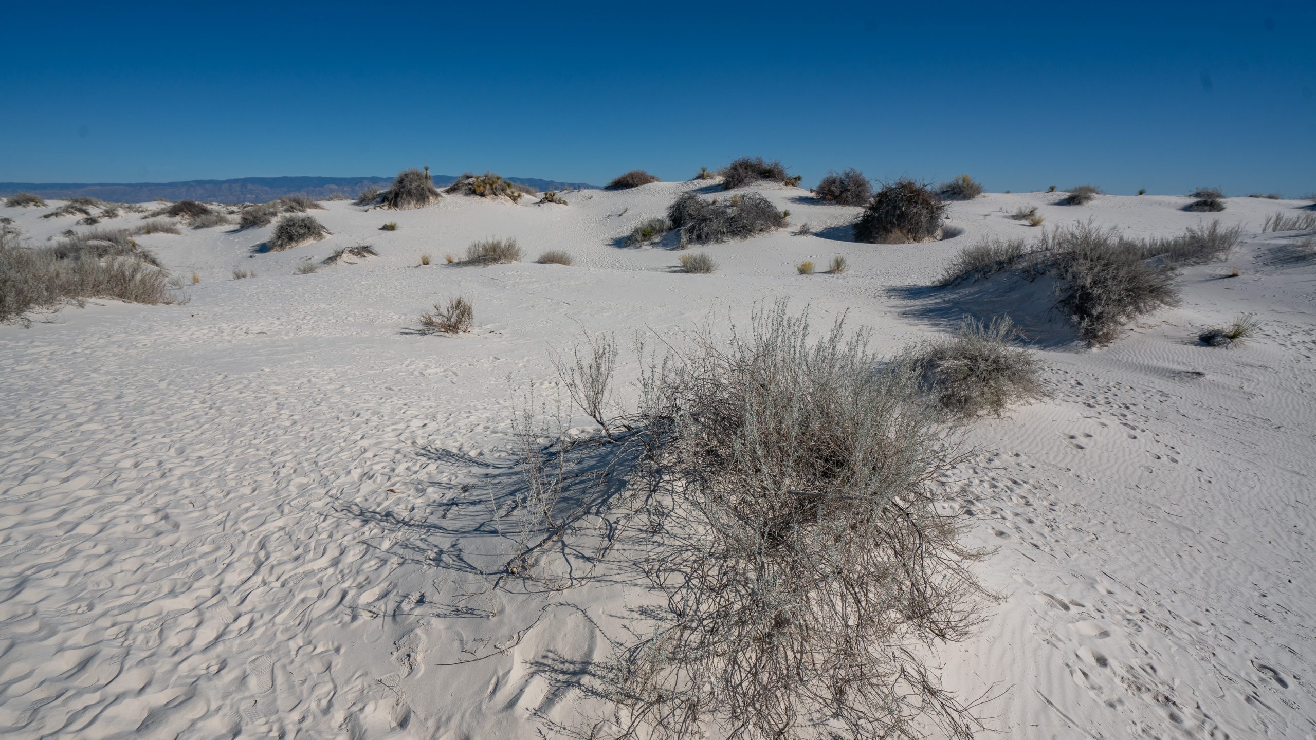
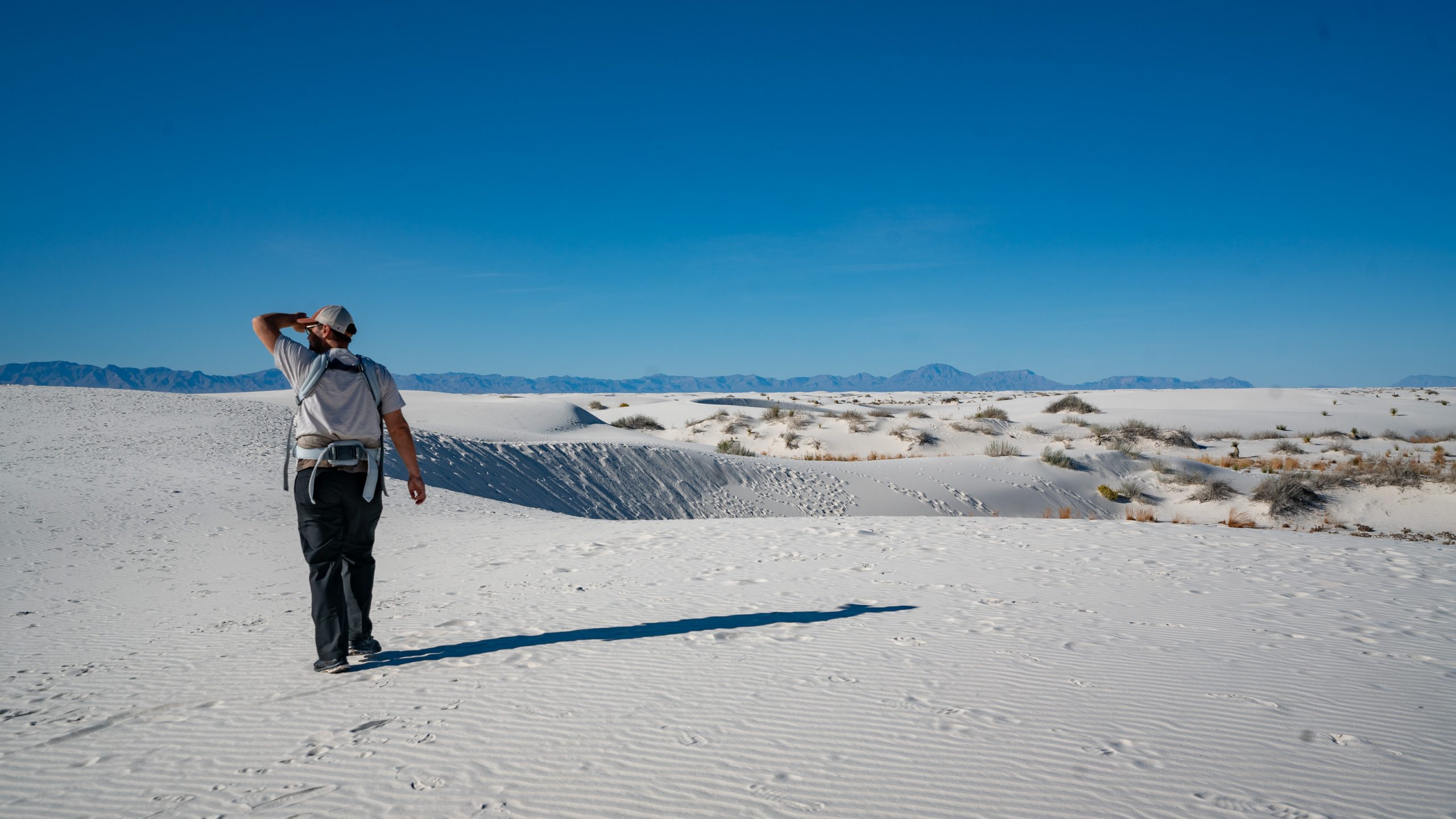
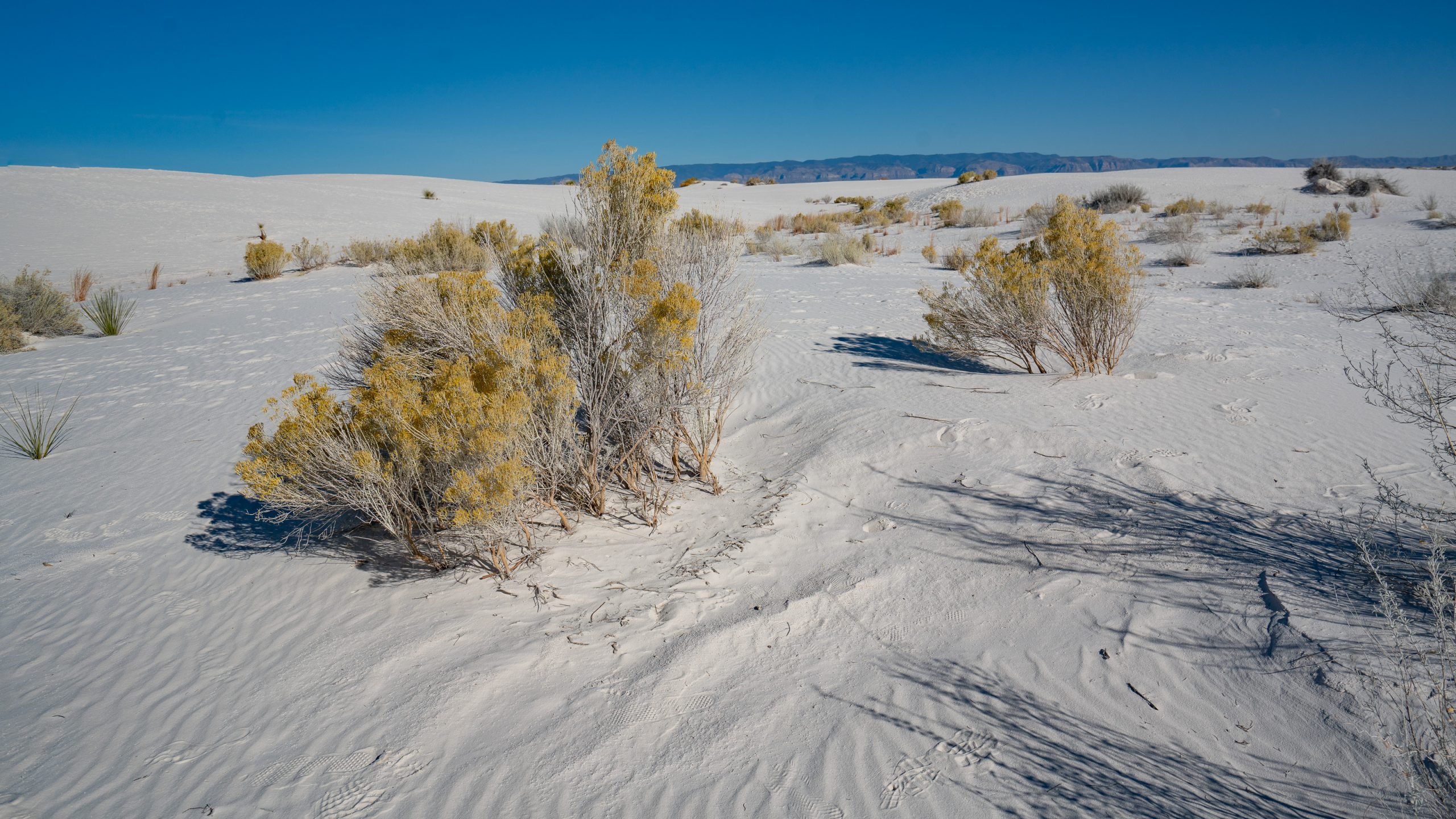
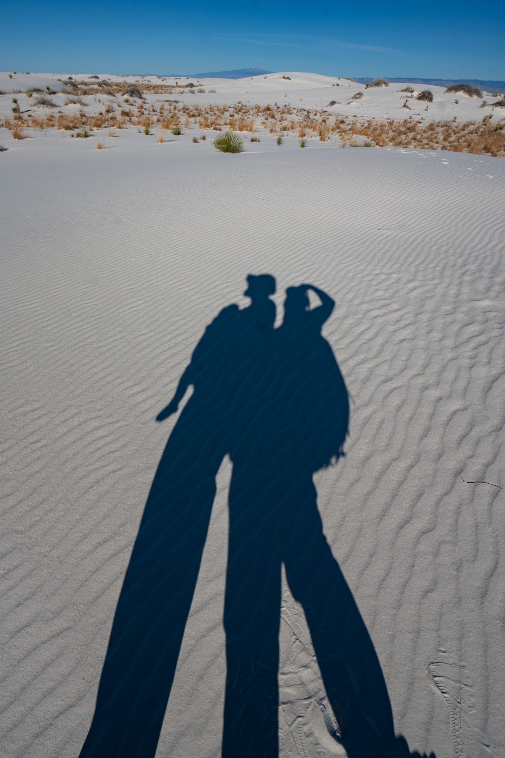
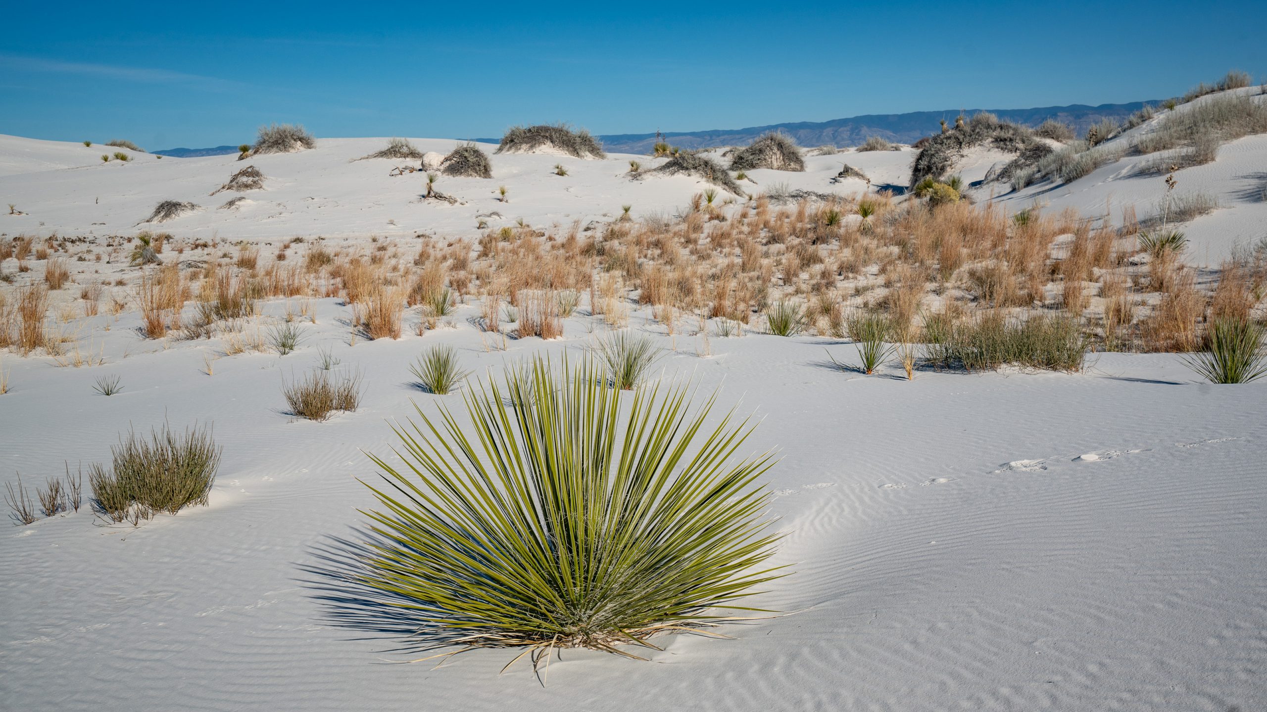
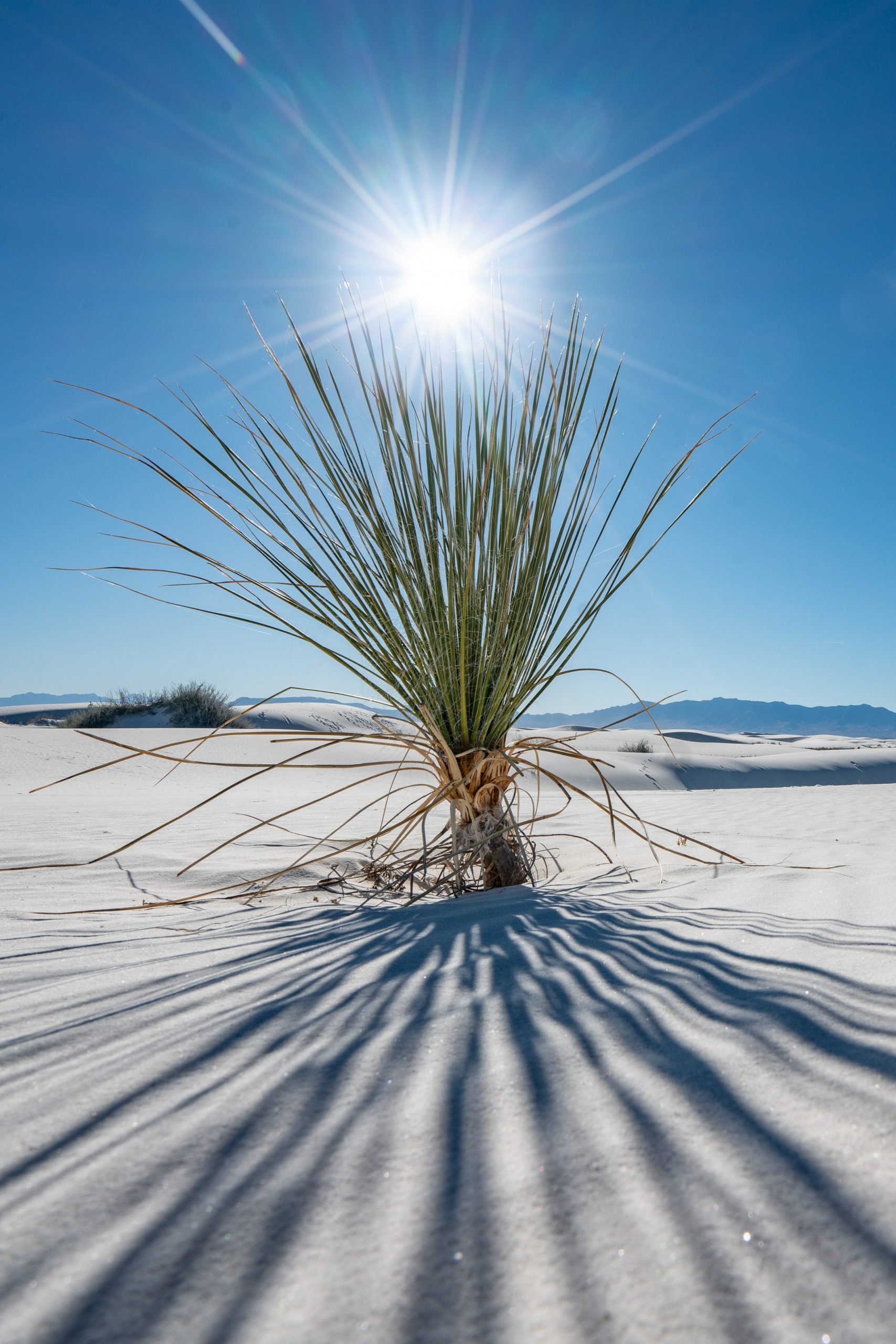
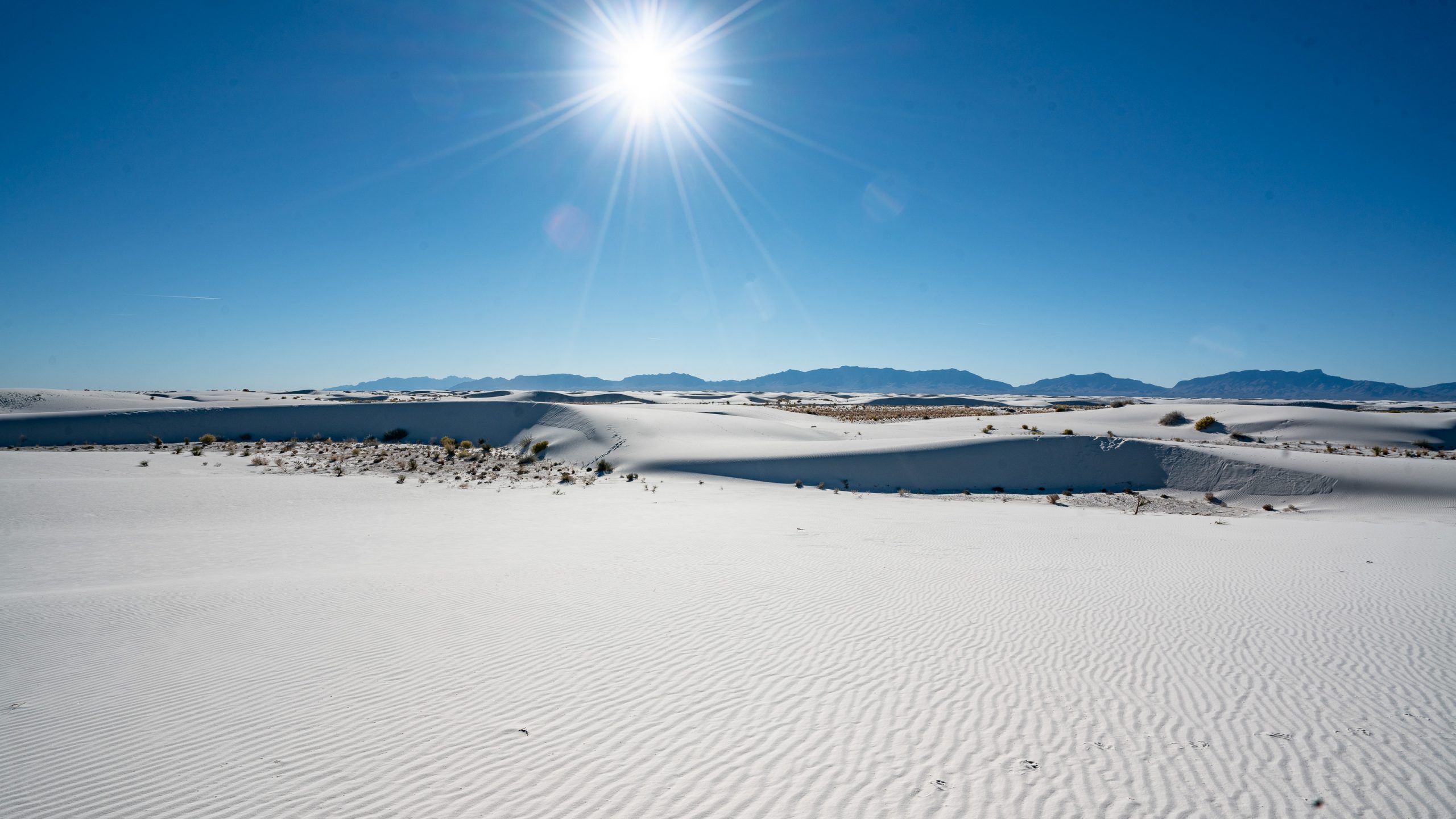
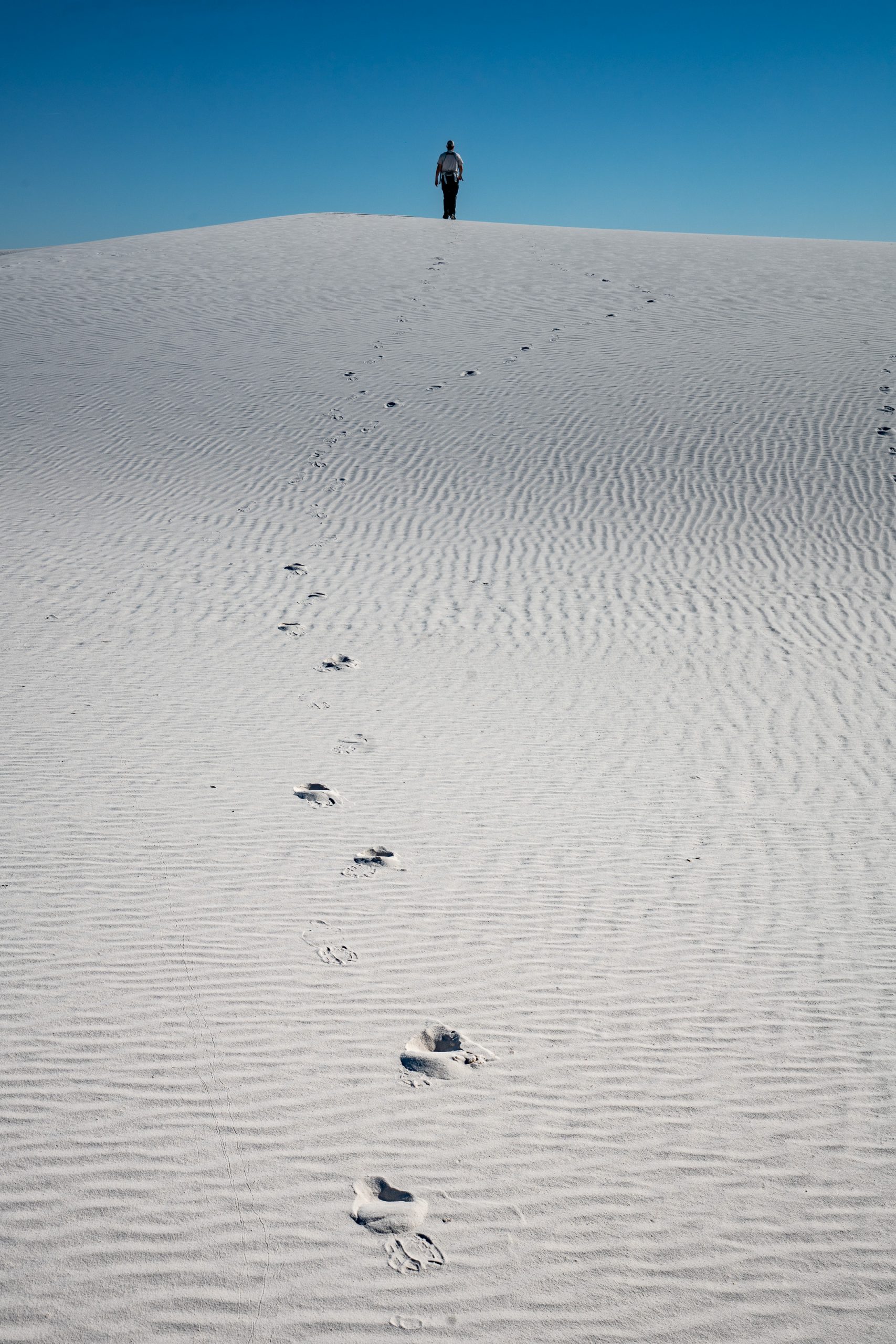
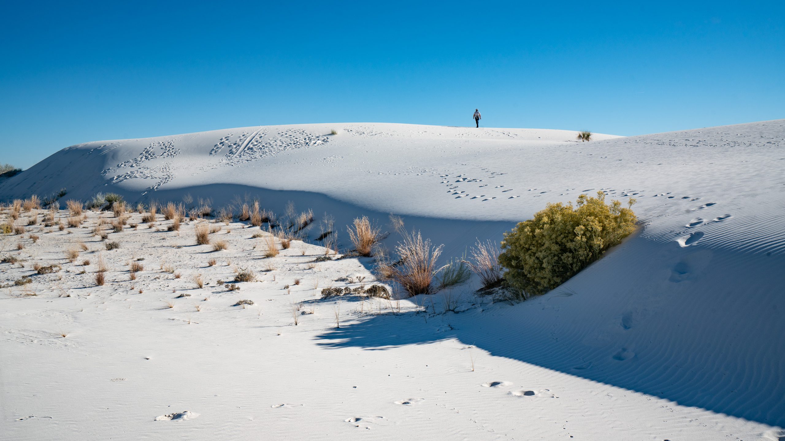
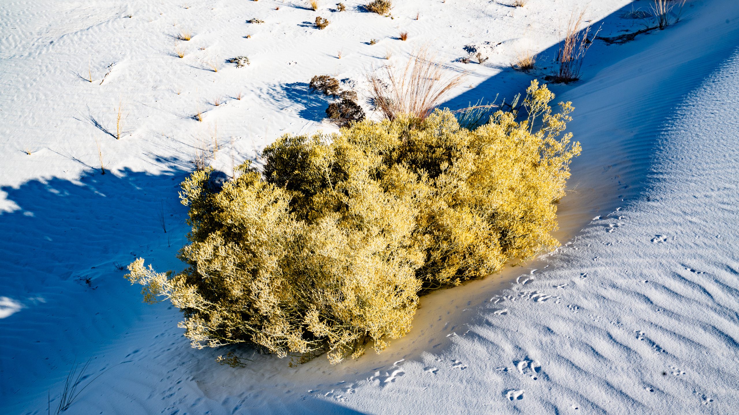
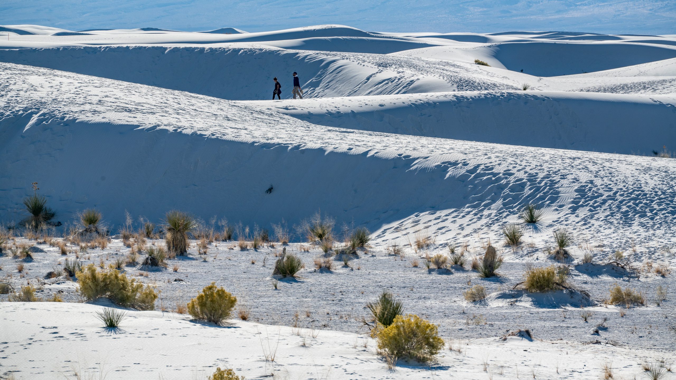
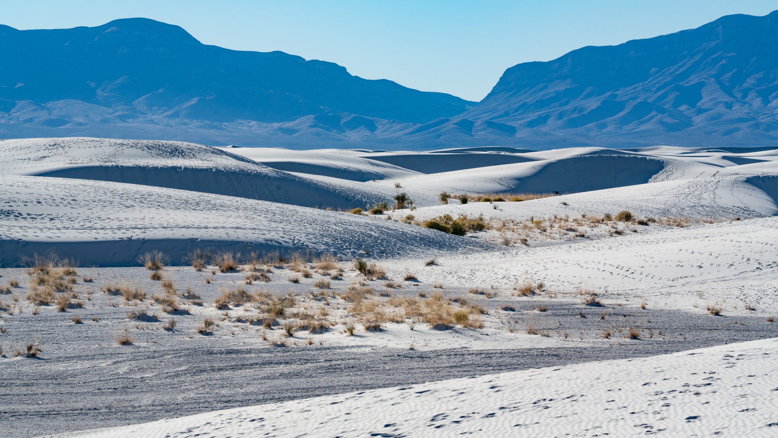
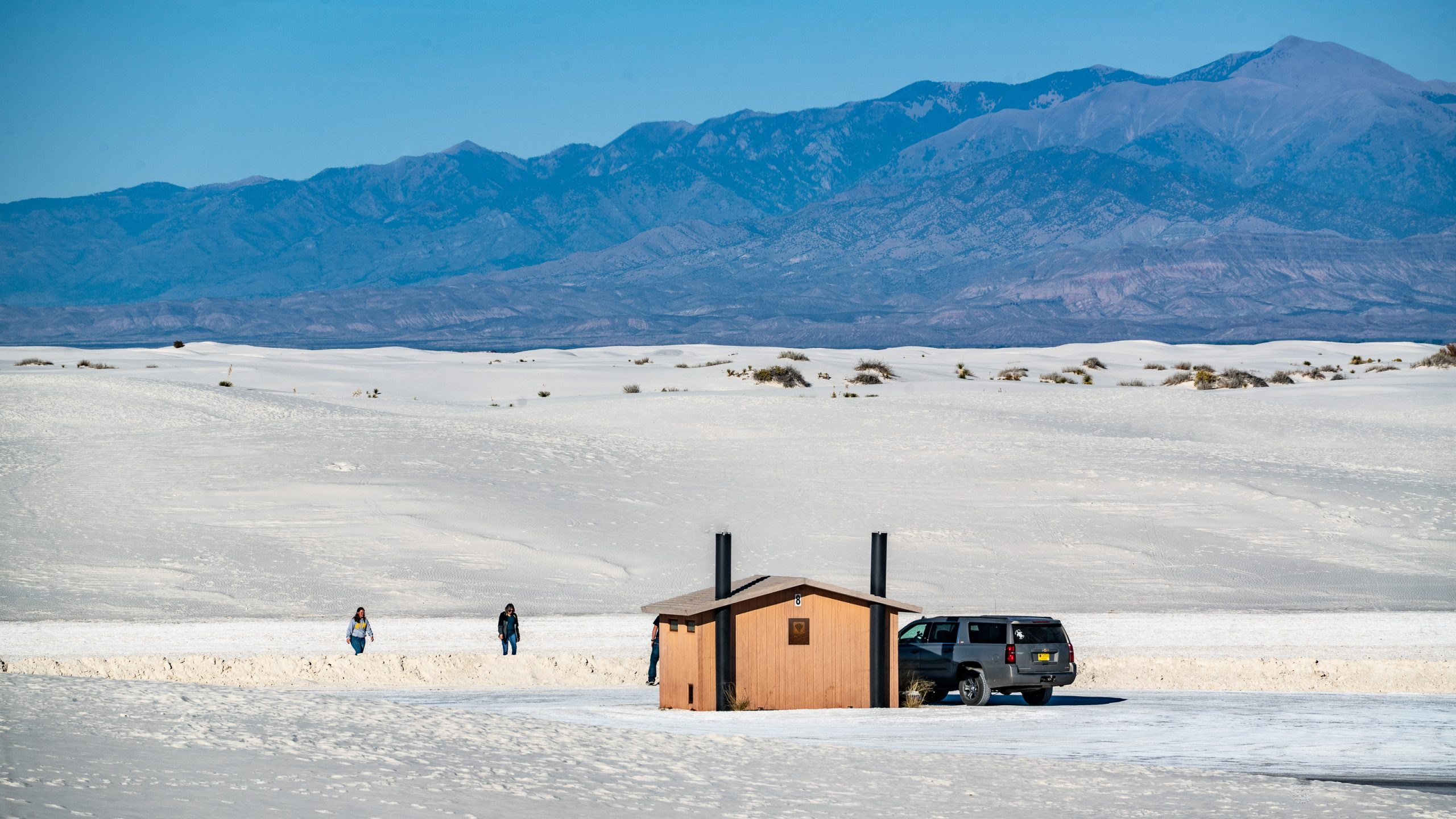
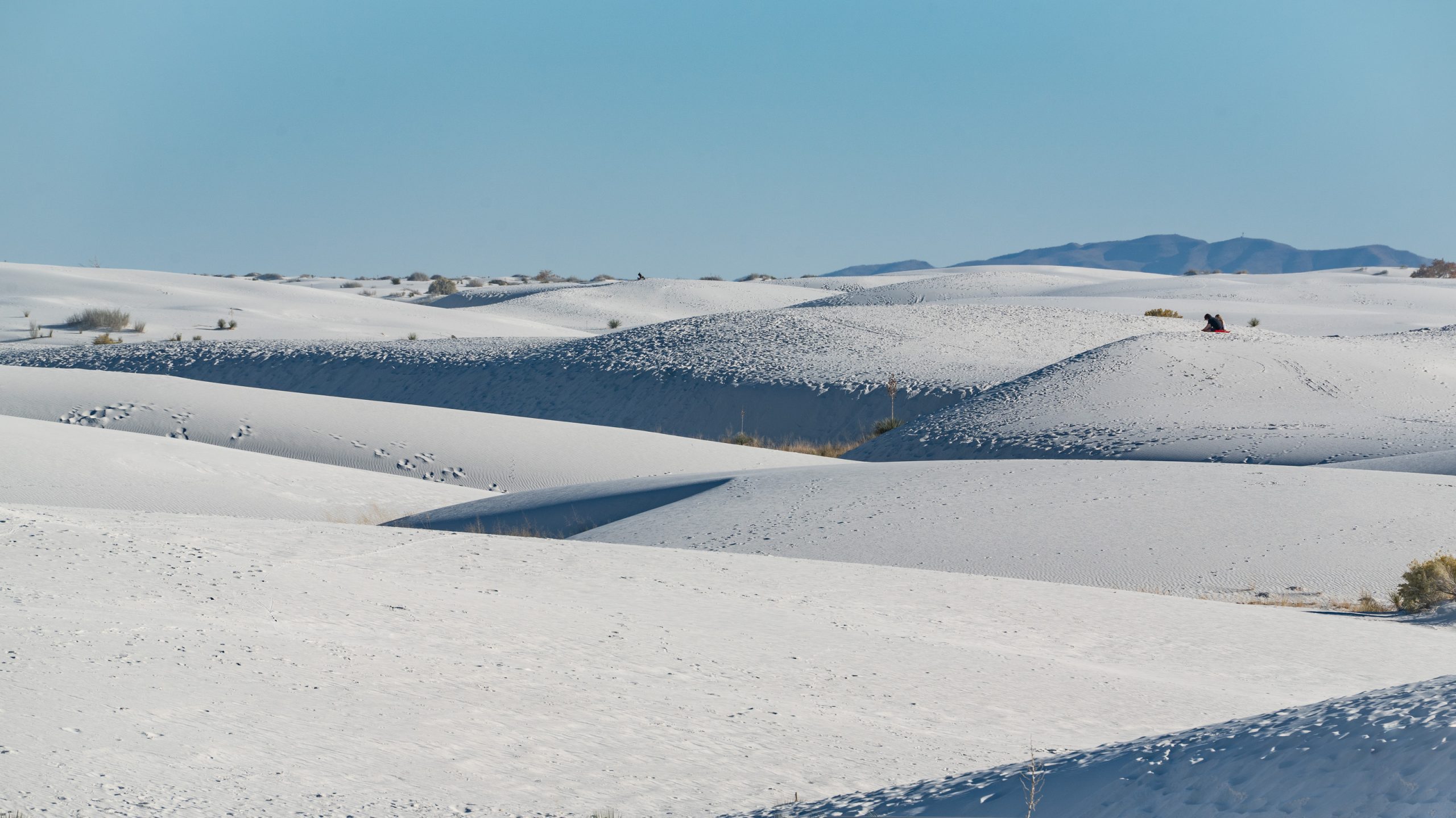
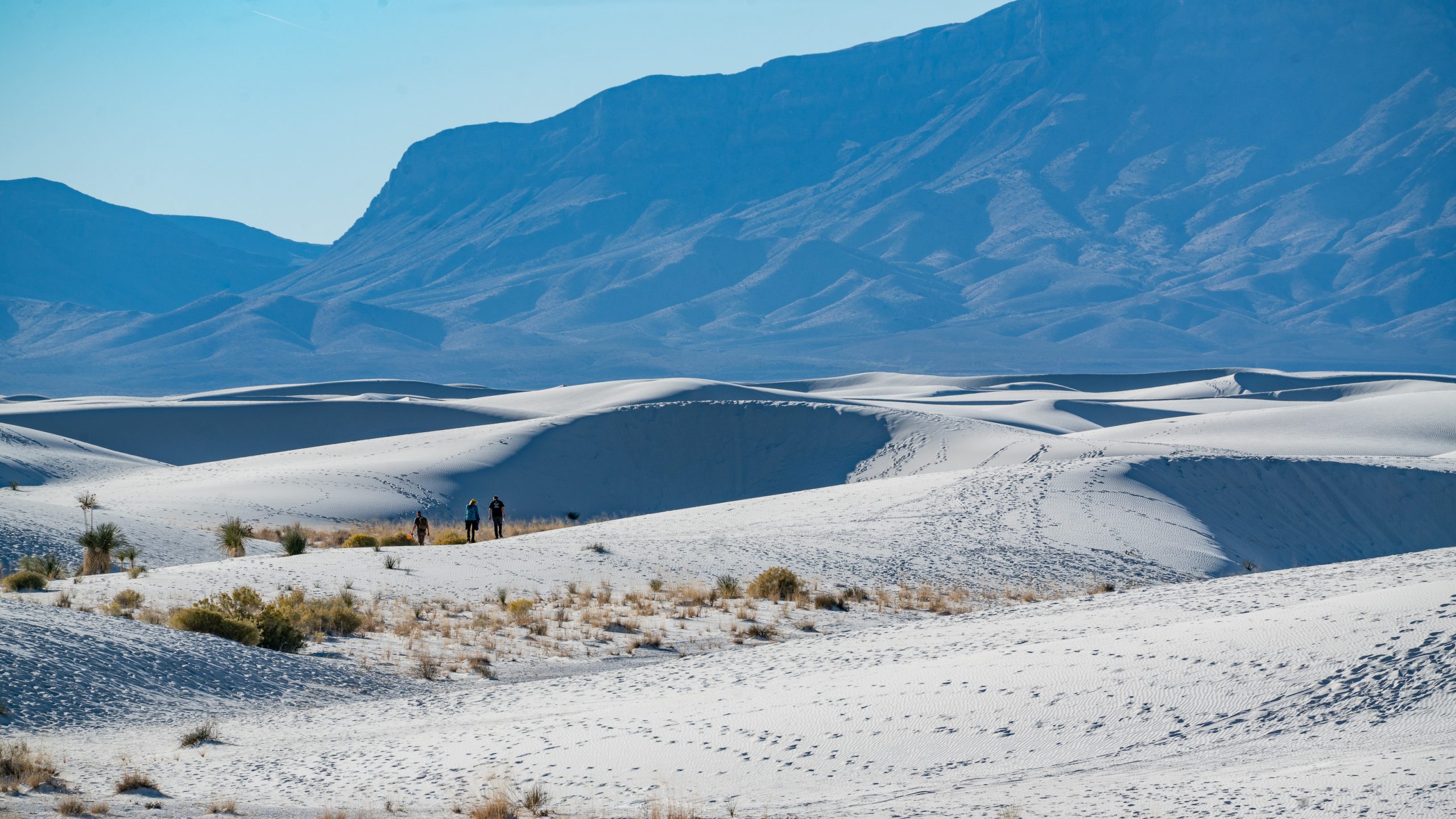
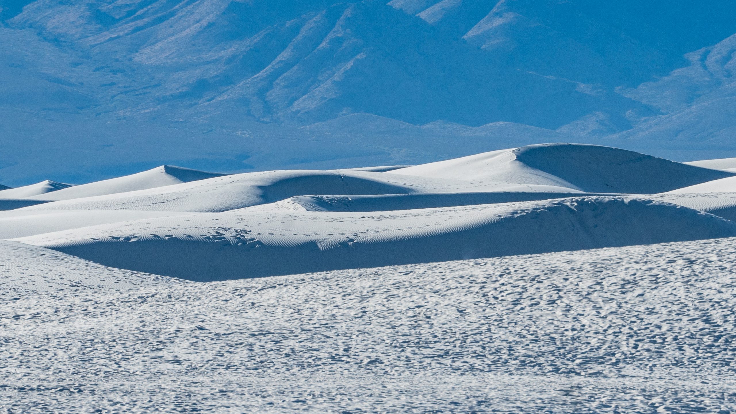
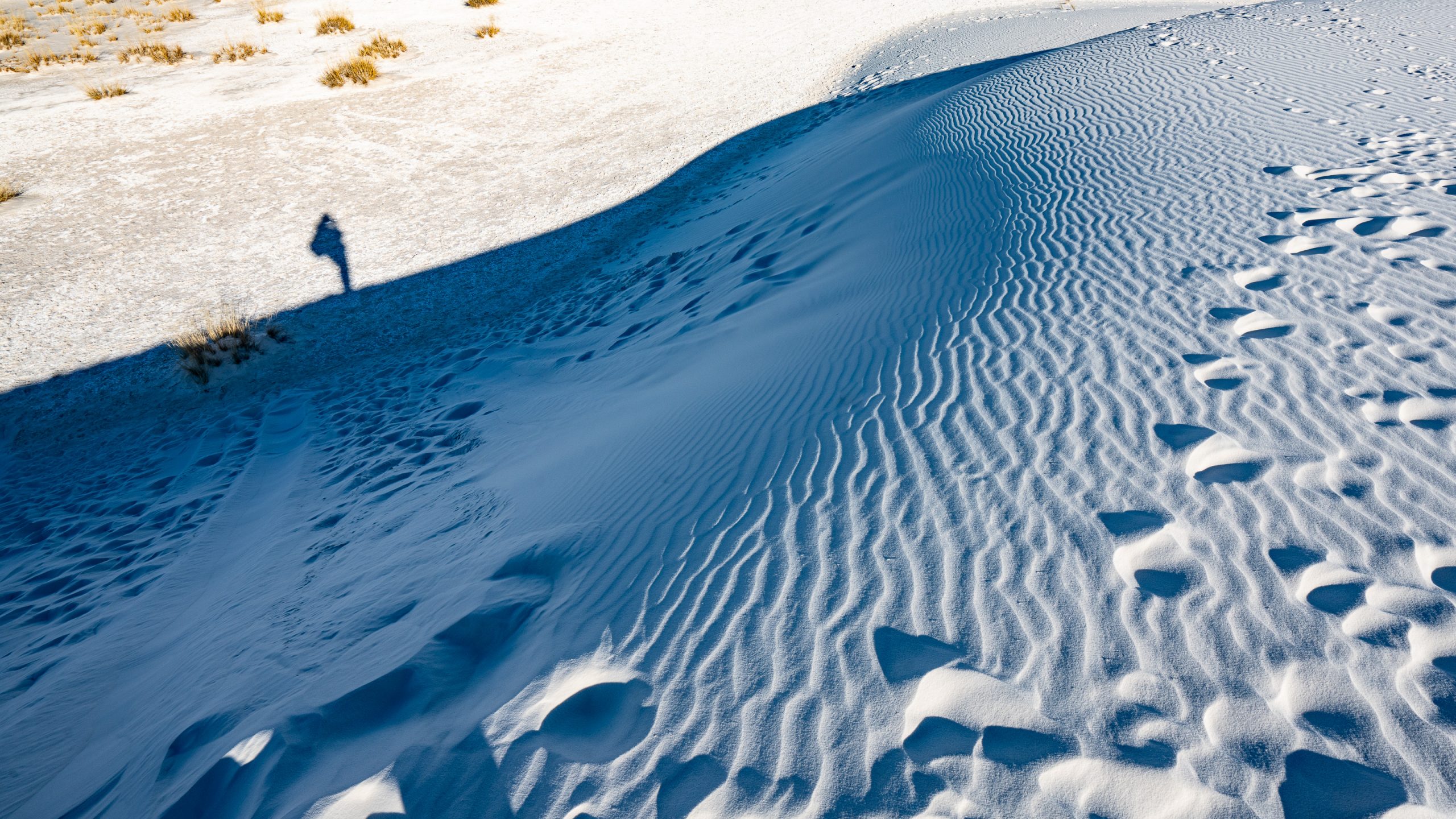
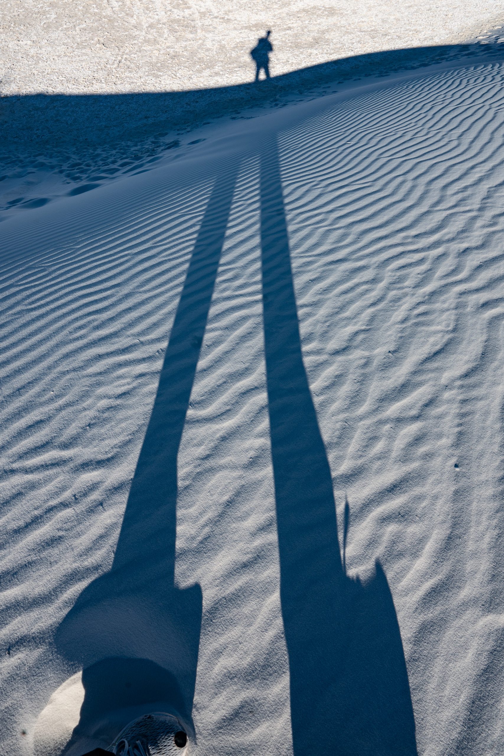
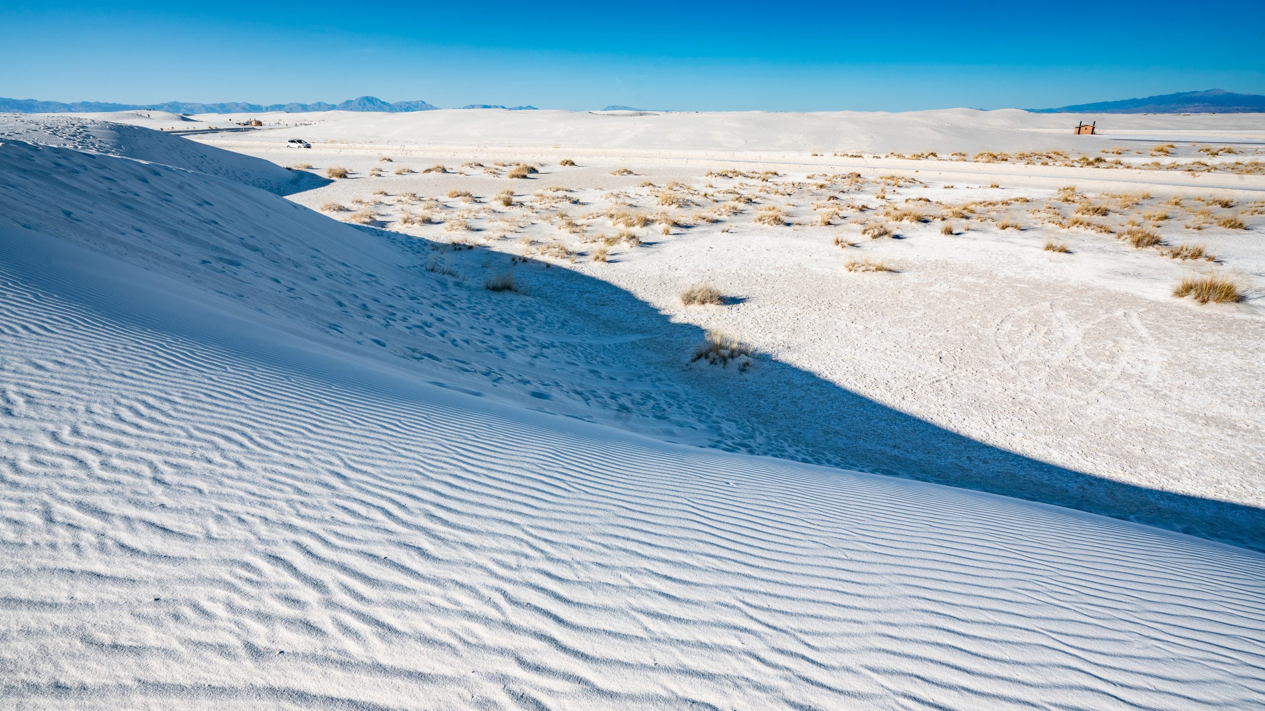
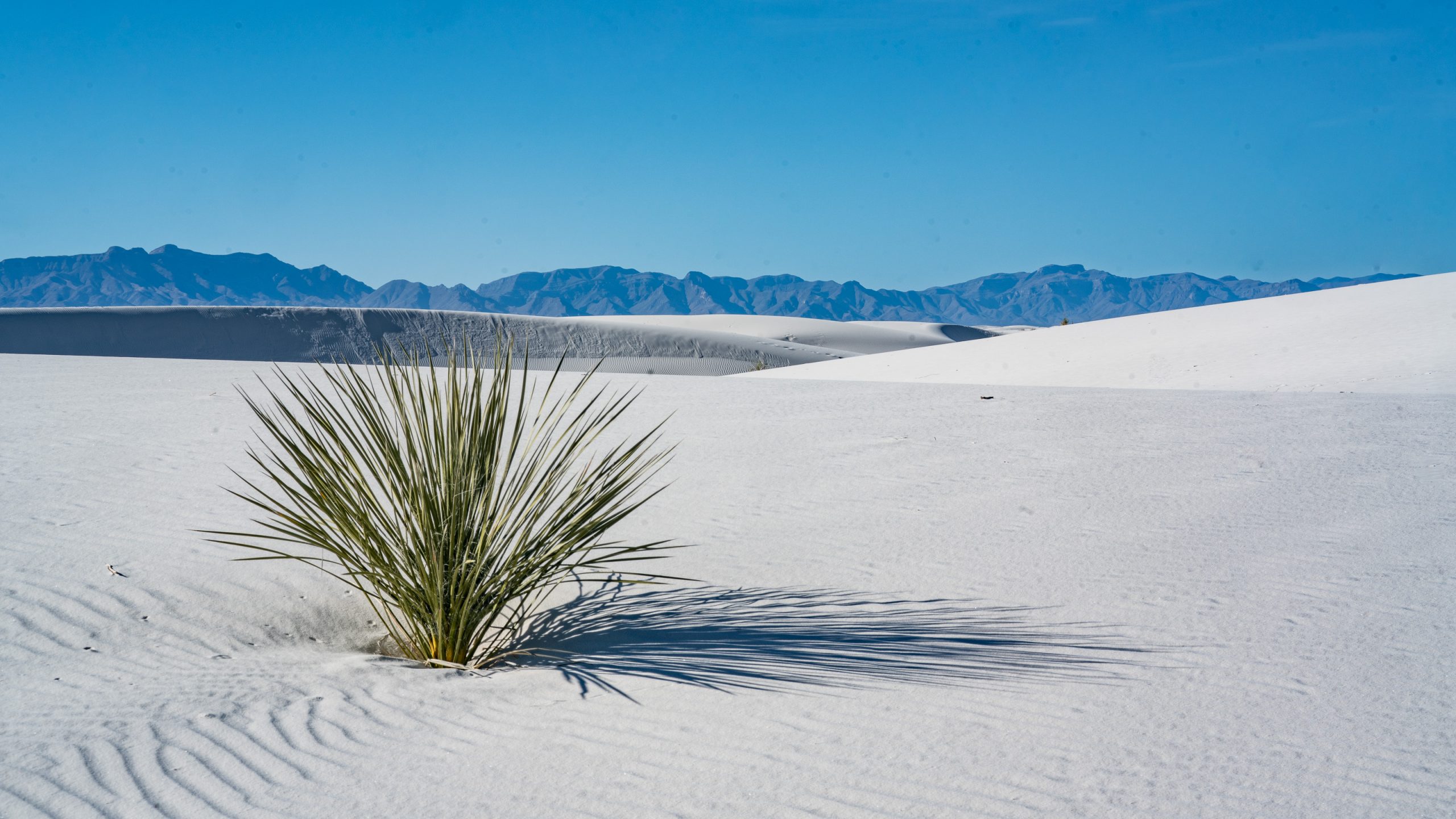
White Sands National Park Visitor Center. Up to here we thought we were visiting sand dunes.A curious white line on the horizon, White Sands has long sparked wonder in people passing through the Tularosa Basin.Standing on top of a dune overlooking this sea of sand, it can be difficult to imagine where all the brilliant white sand came from.Gypsum is rarely found in sand form making the 710-square km dunefield a one-of-a-kind natural wonder.The story of the world’s largest gypsum dunefield began 280 million years ago when the Permian Sea covered this area and gypsum settled on the sea floor.The rise and fall of the sea level millions of years ago started the process of making the gypsum sand that covers the monument today.About70 Million years ago plate tectonic started to shift and collide, pushing up the whole Rocky Mountains area, also the gypsum.30 million years ago, the mountains in this area split into two distinct ranges; the San Andres Mountains to the west and the Sacramento Mountains to the east. Between these two mountain ranges the Tularosa basin formed.About two to three million years ago the Rio Grande River flowed along the southern edge of the Tularosa basin. This river brought sediments and minerals downstream into the Tularosa Basin, and eventually blocked the basin’s outlet to the sea.Water trapped by the blockage started to collect at the lowest point in the basin and eventually formed Lake Otero, an ancient 4140-square km lake that covered much of the basin.During the last Ice Age 40,000 to 12,000 years ago, the climate was much colder and wetter. As the climate started to warm around 11,000 years ago rain and snowmelt carried dissolved gypsum from the surrounding mountain ranges into the basin. The gypsum runoff settled in Lake Otero. With the ending of the last Ice Age, about 12,000 years ago, Lake Otero began to evaporate, becoming a playa, or dry lake bed.As the climate became warmer and drier, the effects of sun and wind slowly began transforming this area into the modern Chihuahuan Desert.Most of Lake Otero dried up. The dry portions of the lakebed became what we know today as Alkali Flat, while the smaller seasonal playa that remained formed modern Lake Lucero.The two Cs in a dune selfie.As Lake Otero’s water disappeared selenite crystals formed on Alkali Flat.Strong 30 km/h winds carried the smaller pieces, further breaking down the crystals into small grains and polishing them into a brilliant white color.Constantly pushed to the northeast by strong winds, the sand accumulated into larger dunes, which moved several feet over a windy day or night eventually forming the famous white dune field visitors see today.Presently, rain and snow-melt from the surrounding mountains and upwelling from deep water within the basin periodically filling Lake Lucero with water containing dissolved gypsum.When the lake water evaporates, small selenite crystals (2 cm to 3 cm) formed on the surface of Lake Lucero and Alkali Flat just as they have for thousands of years.Most of the crystal formation occurs when large floods concentrate the mineralized water every 10 to 14 years.Wind and water break down these crystals into progressively smaller and smaller particles until they are fine grains of white gypsum sand and eventually dust.Looks like an ordinary ski hut with two big fireplaces? No, just the loo.Ever changing shapes of the Alkali Flat dunes.Dunes and San Andres range in the backdrop.Crazy gypsum sand patterns.White Sands.Shadow games.Part 2.The gypsum feels cold underneath your feet because of the high rate of evaporation of surface moisture and the fact that the sands reflect, rather than absorb, the sun’s rays.