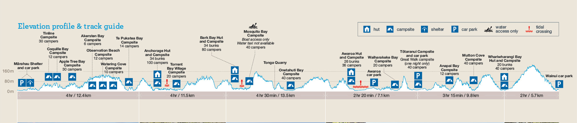
Yes, it’s a great walk, but also one of NZ’s Great Walks (you can spend several days in the park, camping or bunking in huts, tramping the 60 km in 3 – 5 days)(I took the 5 nights/6 days option, but using the max number of nights per night/site you could on/off walk for nearly two weeks).
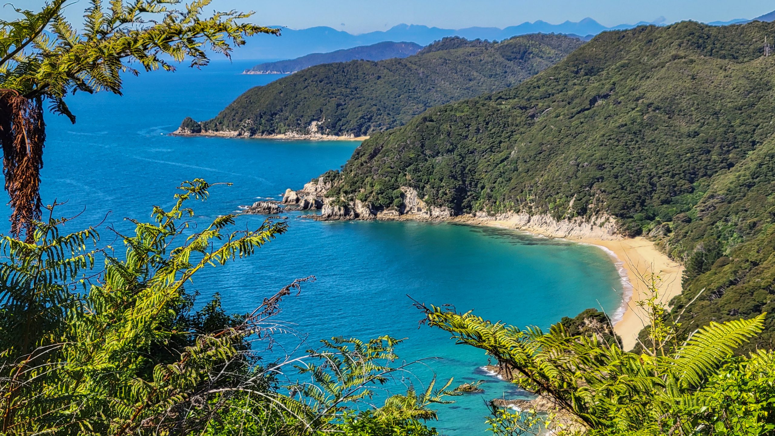
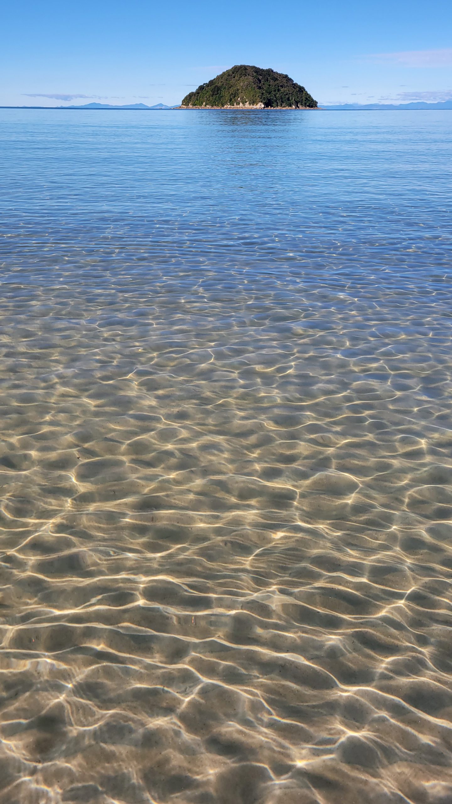
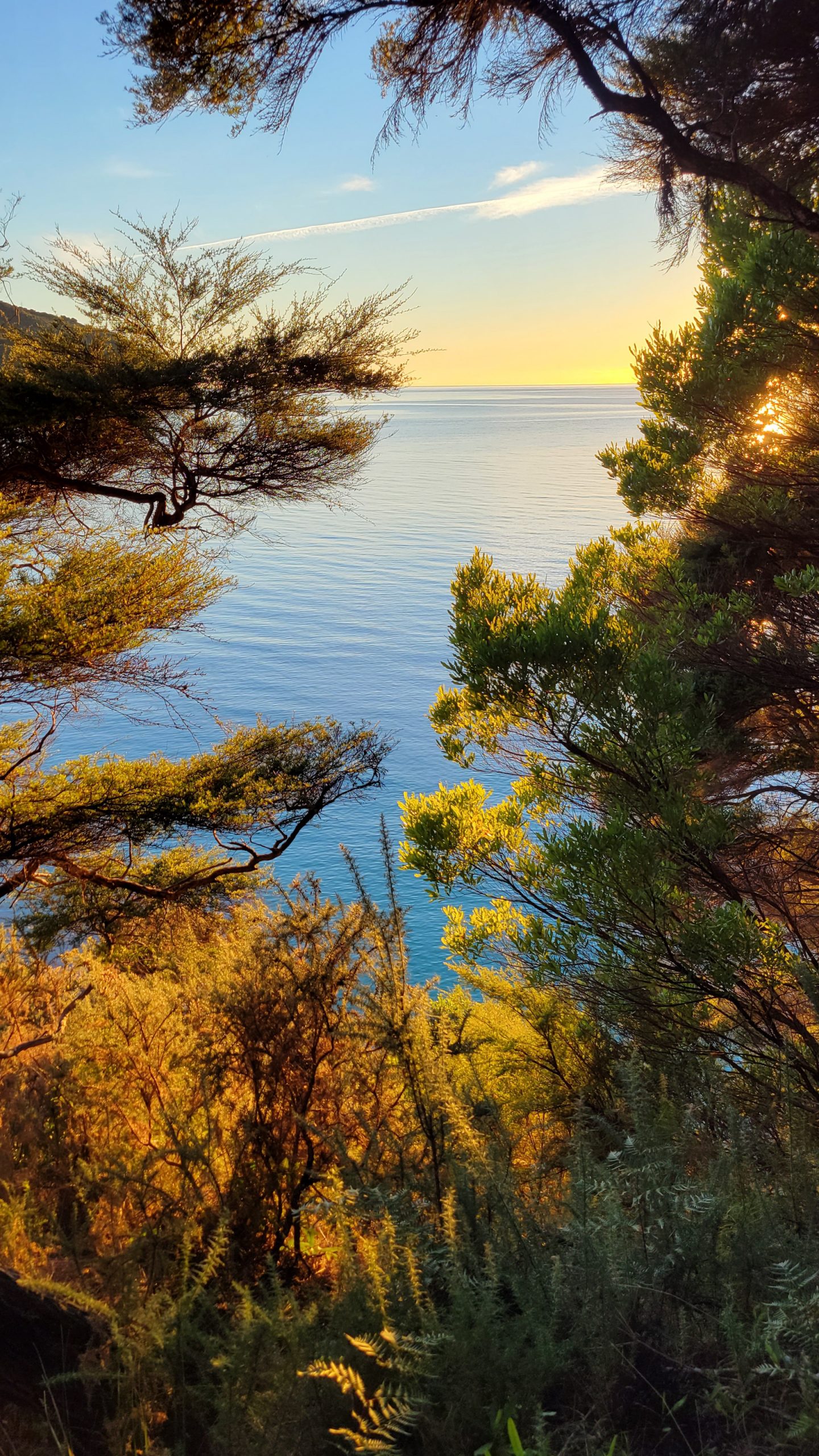
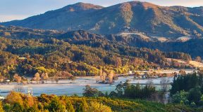
OK so far. But why … ? Because it’s one of the most pristine coastlines left in the world and now, after the long Covid absence of tourists, very empty compared to before. The smallest National Park in NZ with the most trampers on track. If not now, not ever, I figured.
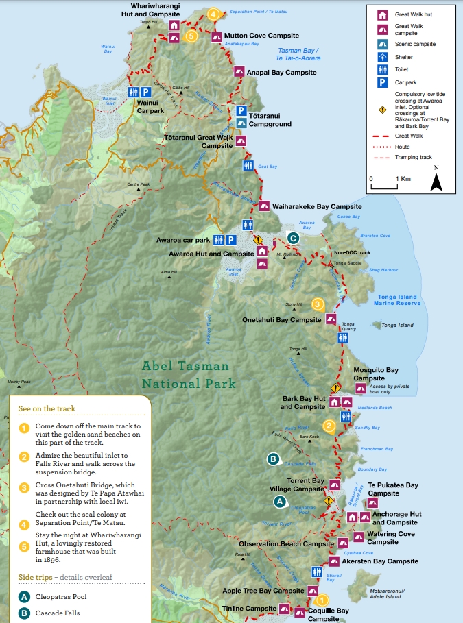
Source: Department of Conservation (NZ), reused under the terms of the Creative Commons Attribution 4.0 International Licence (CC BY 4.0)
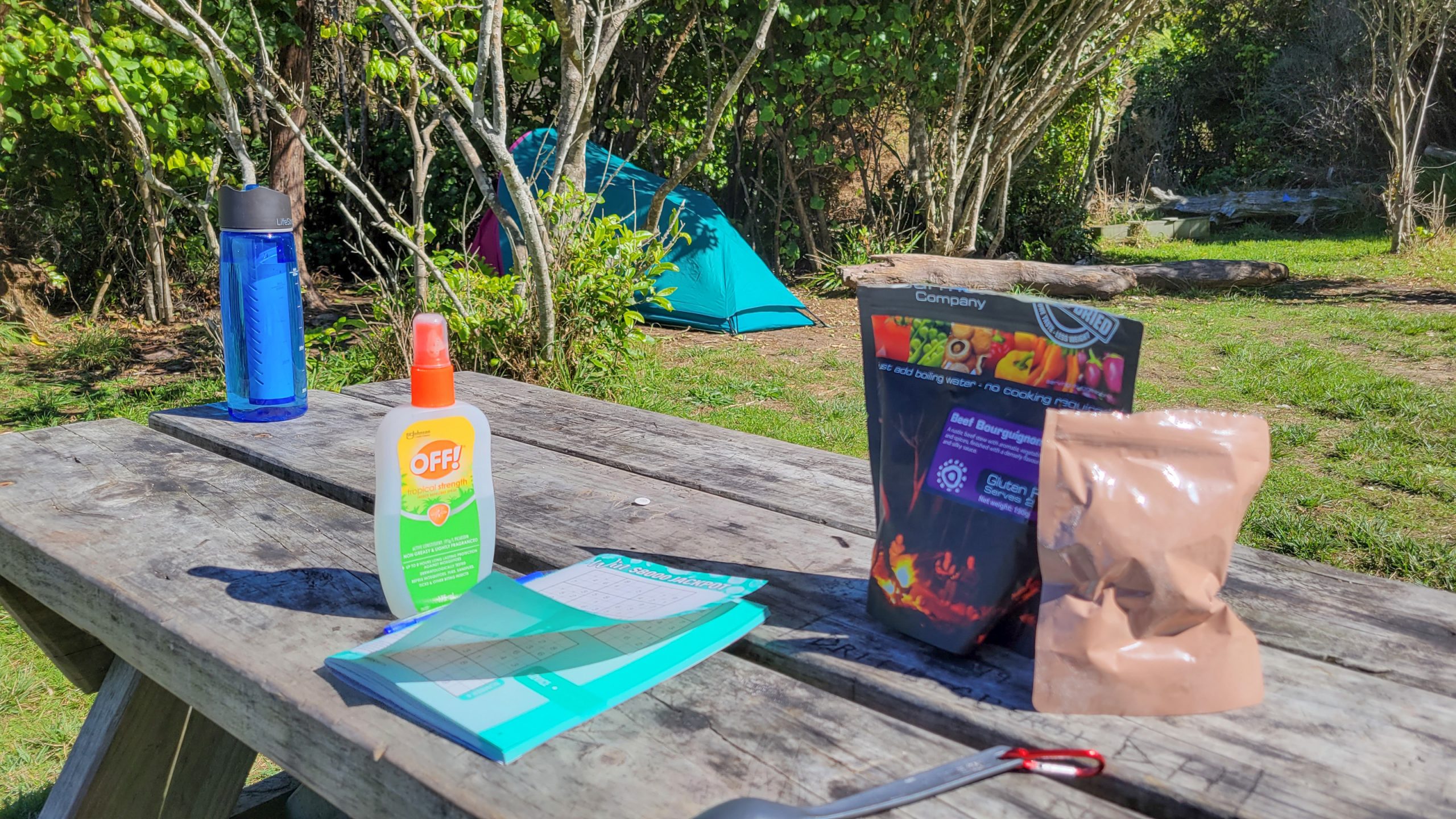
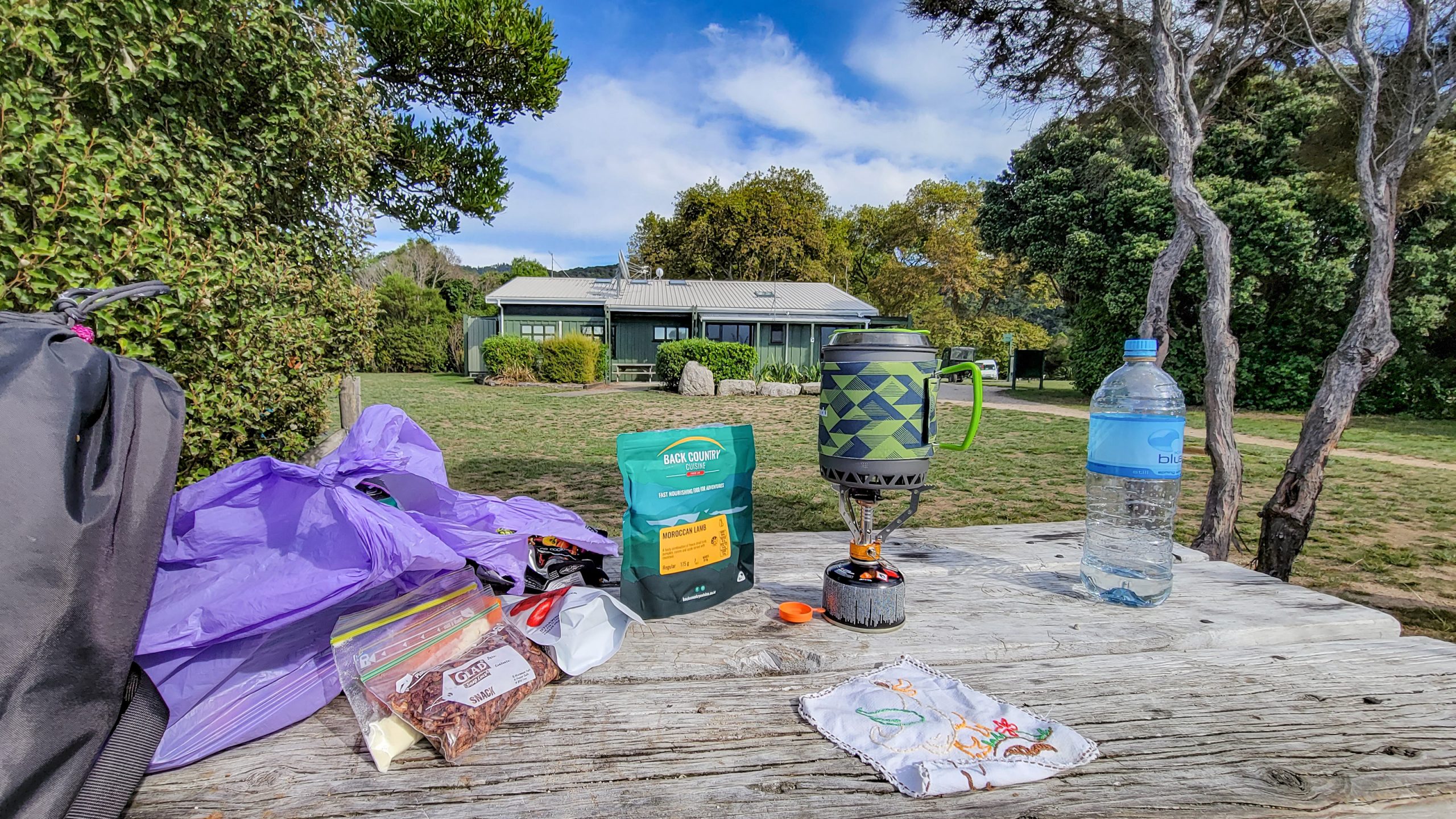
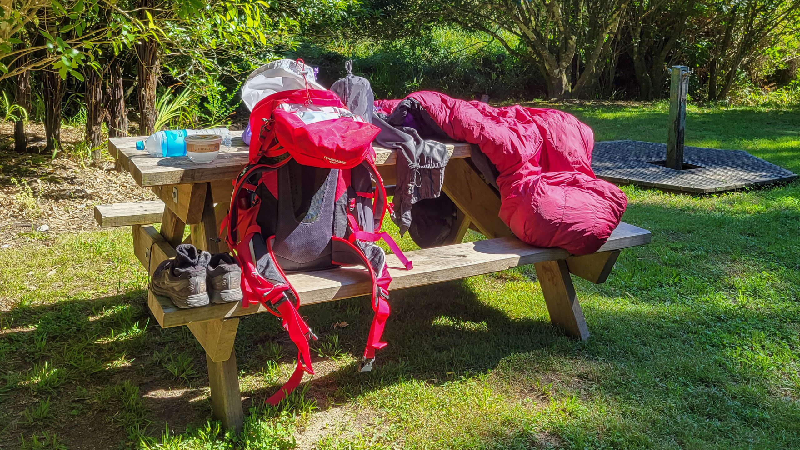
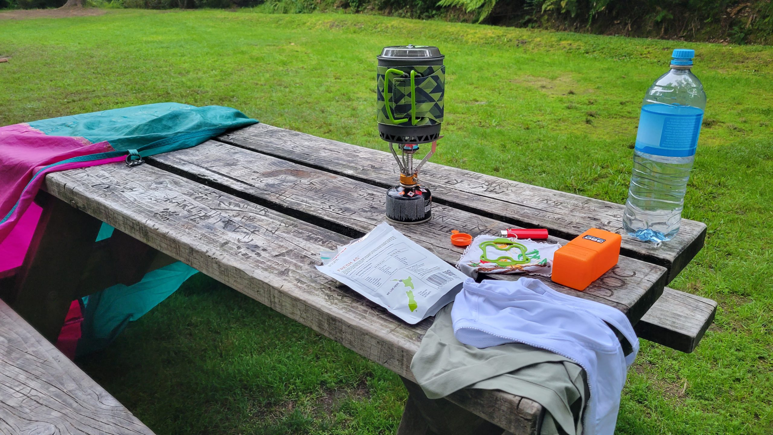
Packing the bag was quick, with some adjustments to the equipment (new backpack, stove, brick-a-brac that makes life easier like the very cool water bottle with carbon filter): Important to me was having my phone for pics and emergency, a powerbank, cable, small change if I needed to take the water taxi back, vaccine pass, confirmation of booking, camping gear and food for 6 days. Weight of the packed bag was 12 kg, just a bit more than carrying the baby.
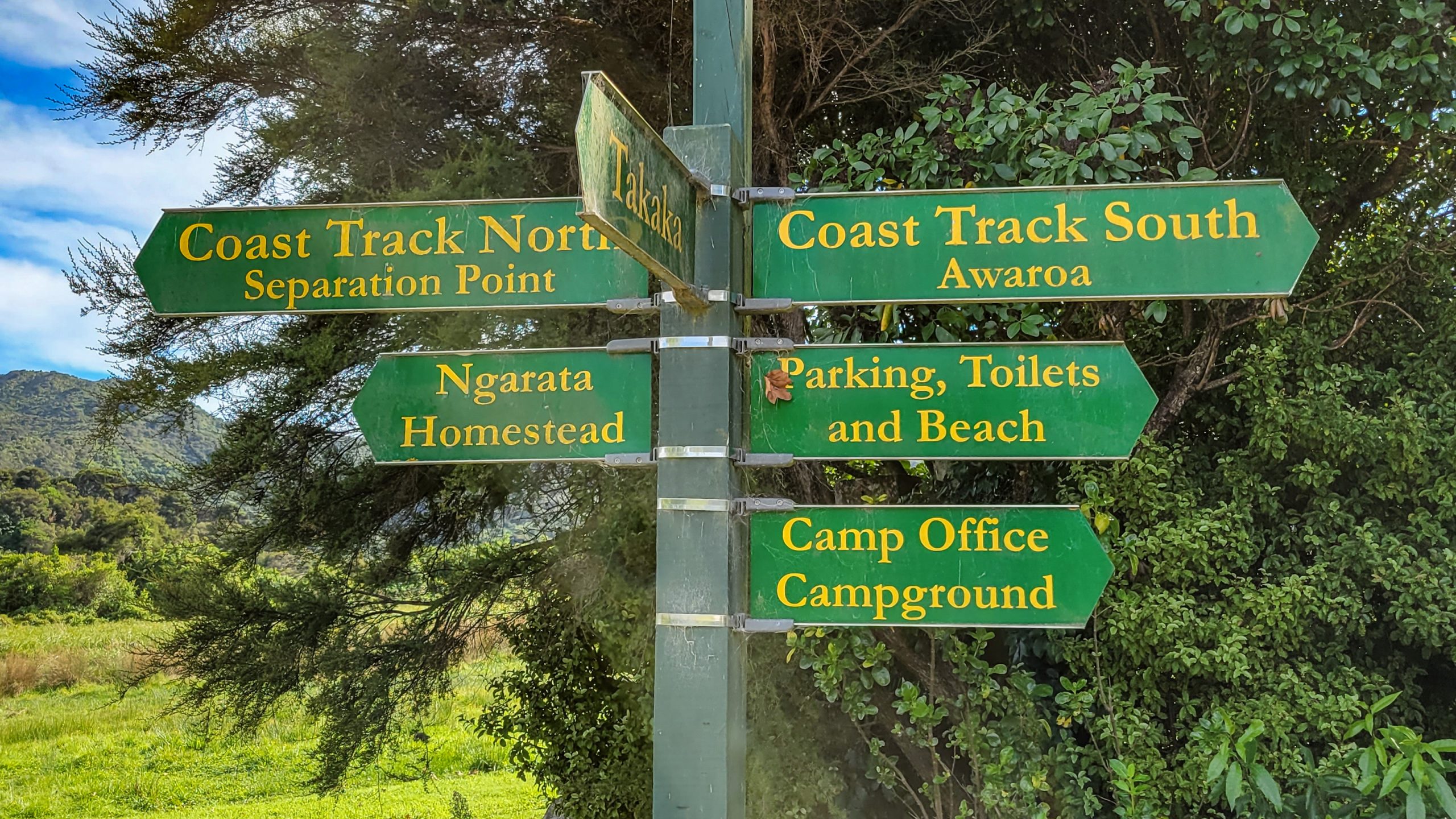
The most critical decision was how the route would be, from Marahau to Wainui or the other way? Also, it’s crucical to know the tide table and decide where to stay from there. I didn’t and it worked out ok-ish, but a few hours up or down would have meant I’d have to stay somewhere else or walk longer/quicker etc. Bottlenecks are
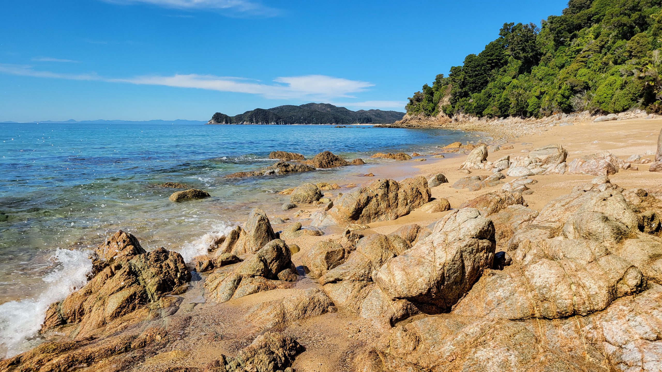
Goat Bay – at high tide and rough waves it can be tricky to get to the exit in dry clothes.
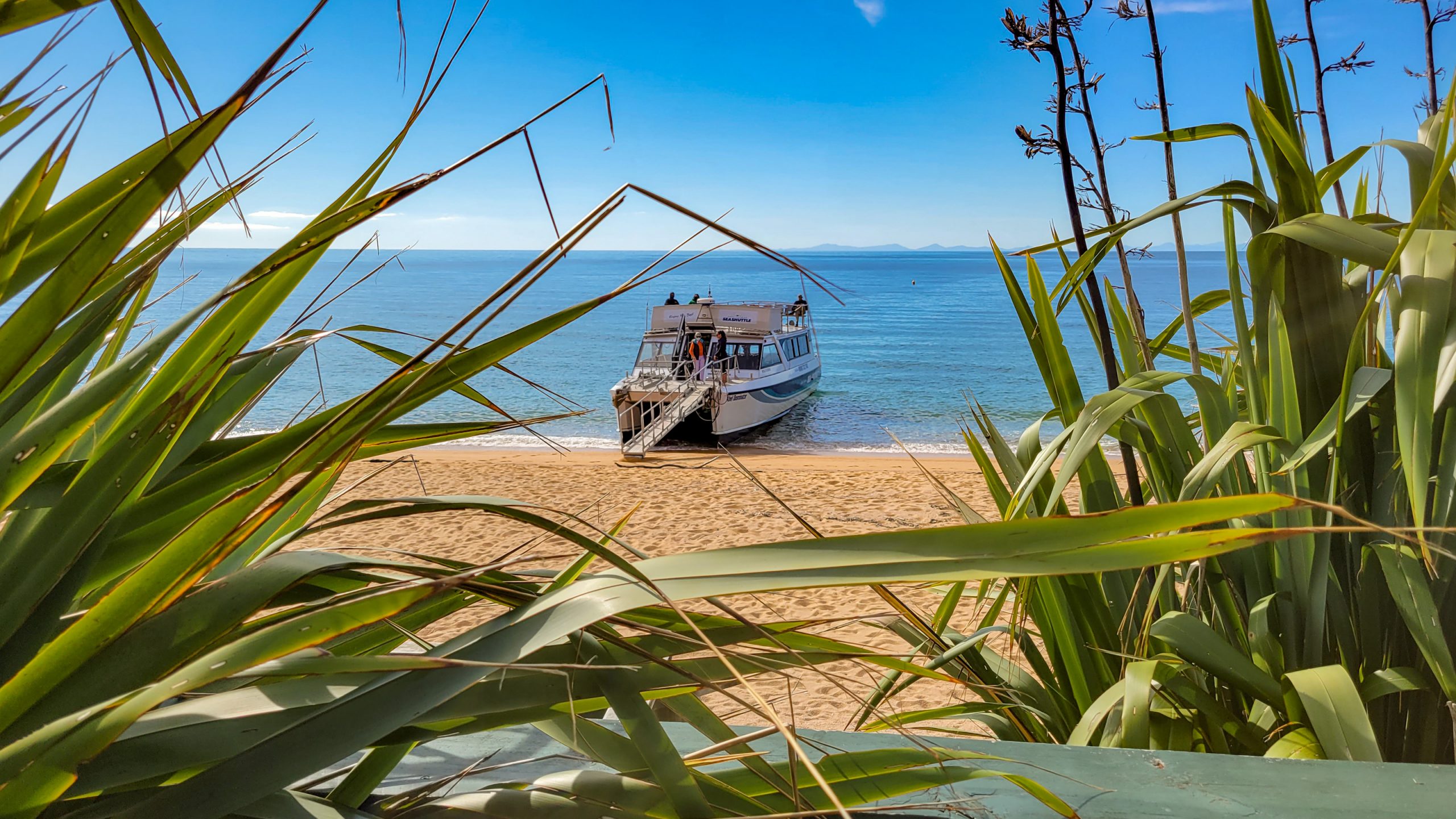
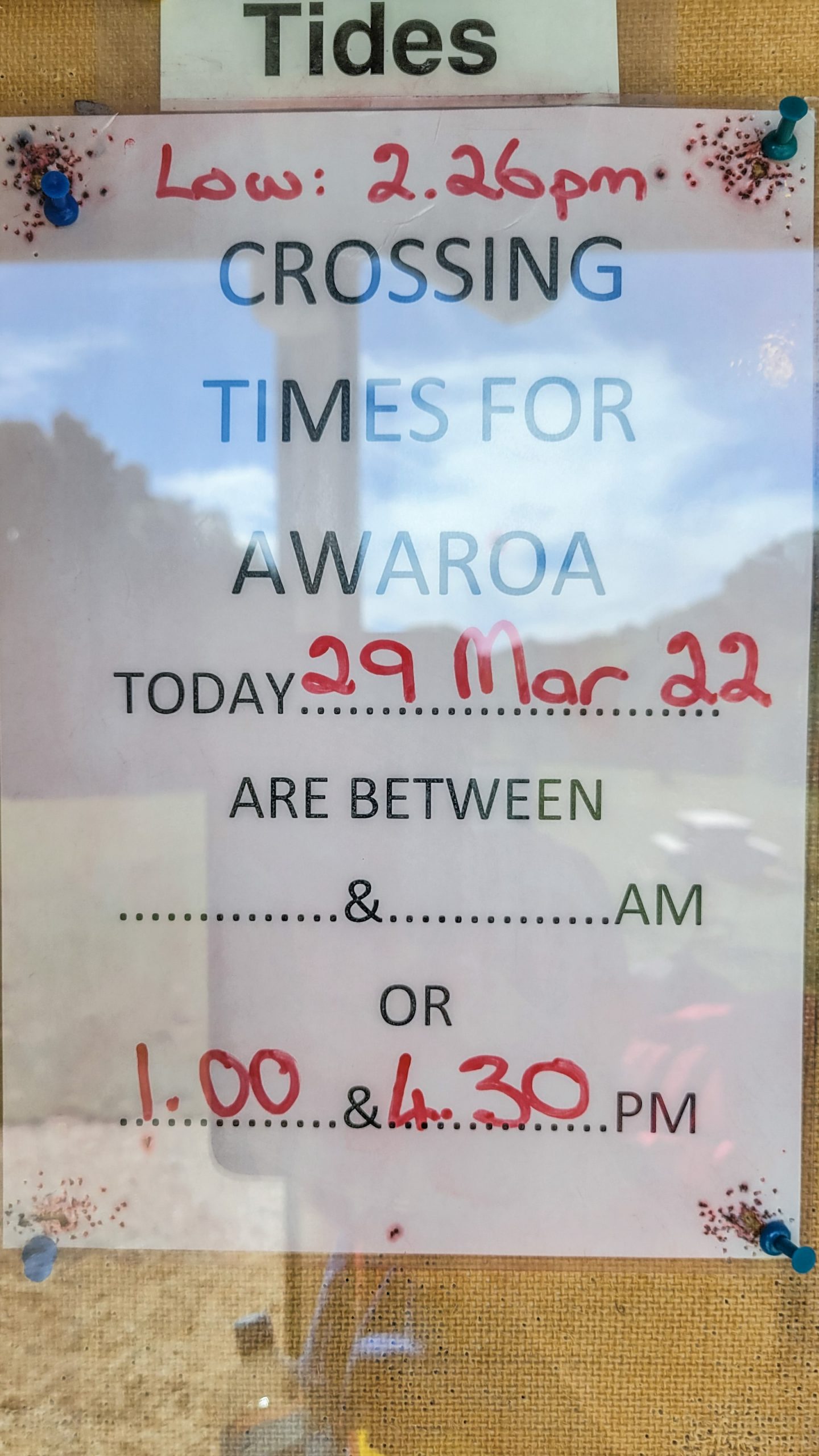
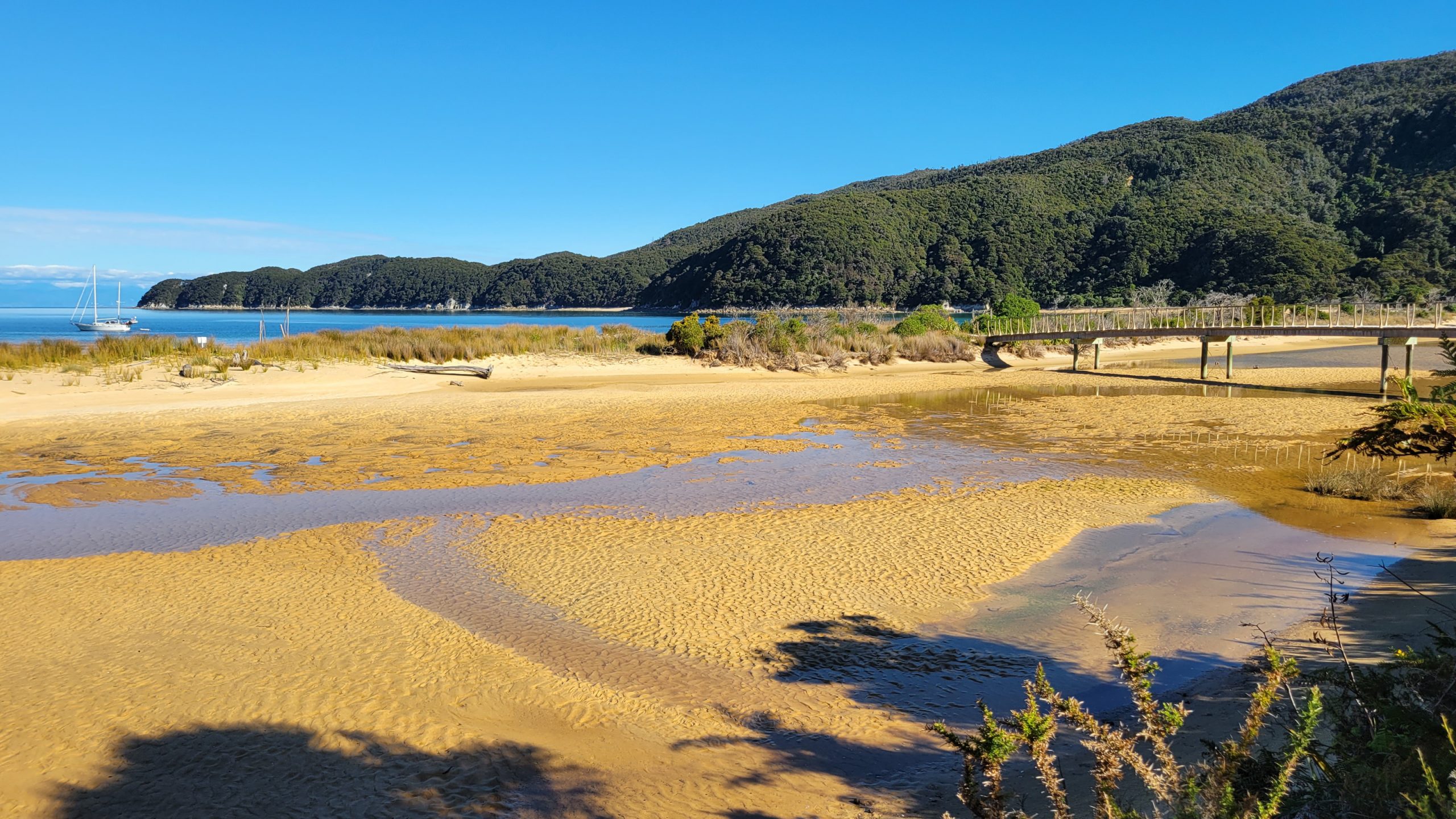
Awaroa crossing – no walk around, crossing only at low tide +2 hrs.
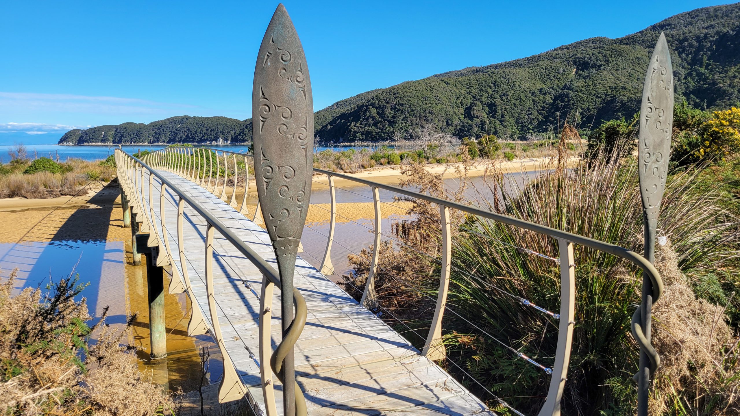
Onetahuti – the big stream has been covered with a board walk, but a new side stream formed and once a month with very high tides it can be 1.5 m and uncomfortable to cross.
Torrent Bay tidal crossing – can be outwalked but calculate +3 hrs
Source: Department of Conservation (NZ), reused under the terms of the Creative Commons Attribution 4.0 International Licence (CC BY 4.0)
This is the story of a woman in a superman shirt who went on a
6 day hike in para-para-paradise (yeah, like in the coldplay song).
Day 1: Wainui – Mutton Cove
Can’t say why but I wanted the sea on my left side, so I opted to walk from North to South. Thank you for giving me a lift to the park entrance in the early hours of the morning just because I wanted to walk in the morning shade :)
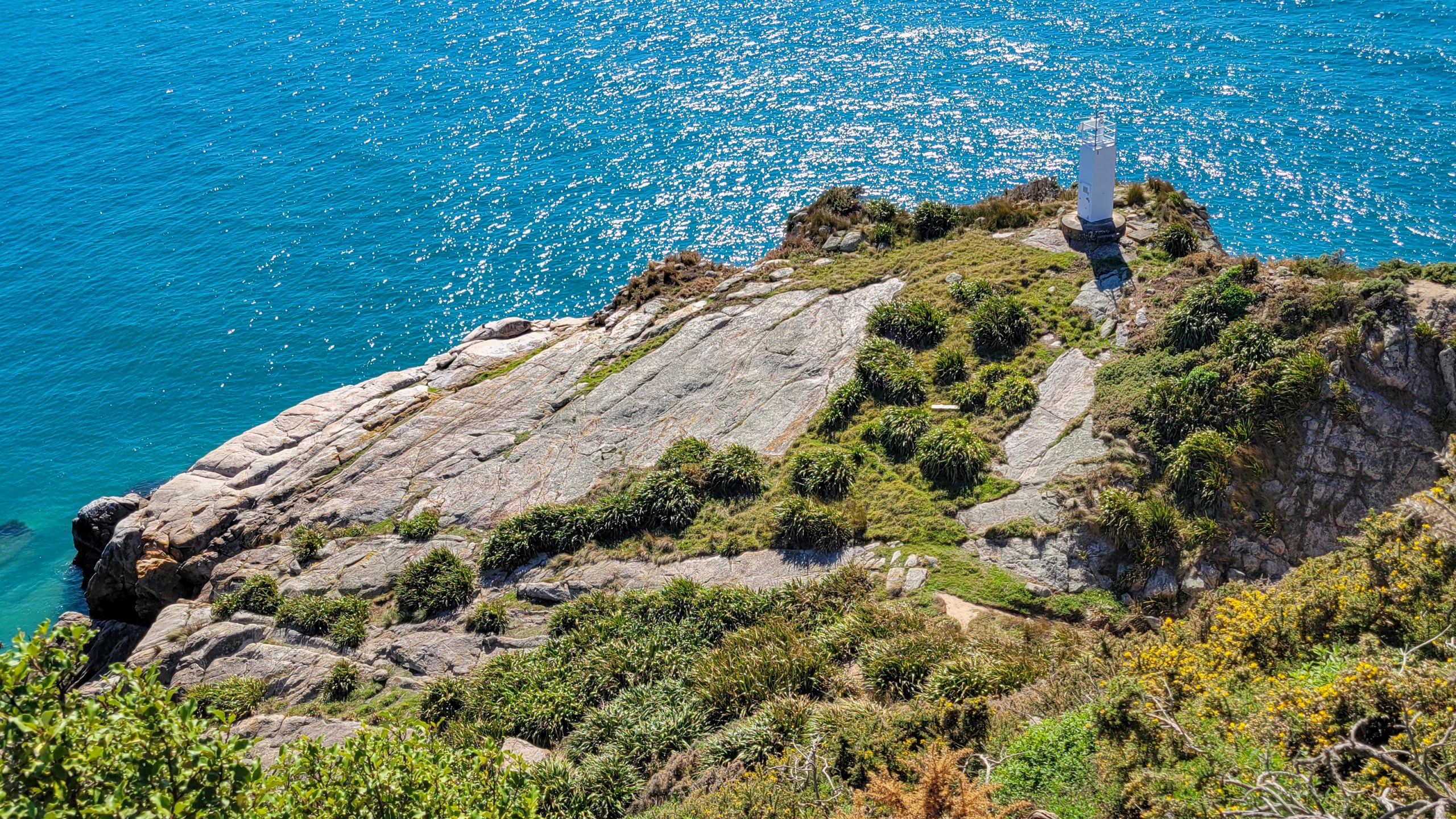
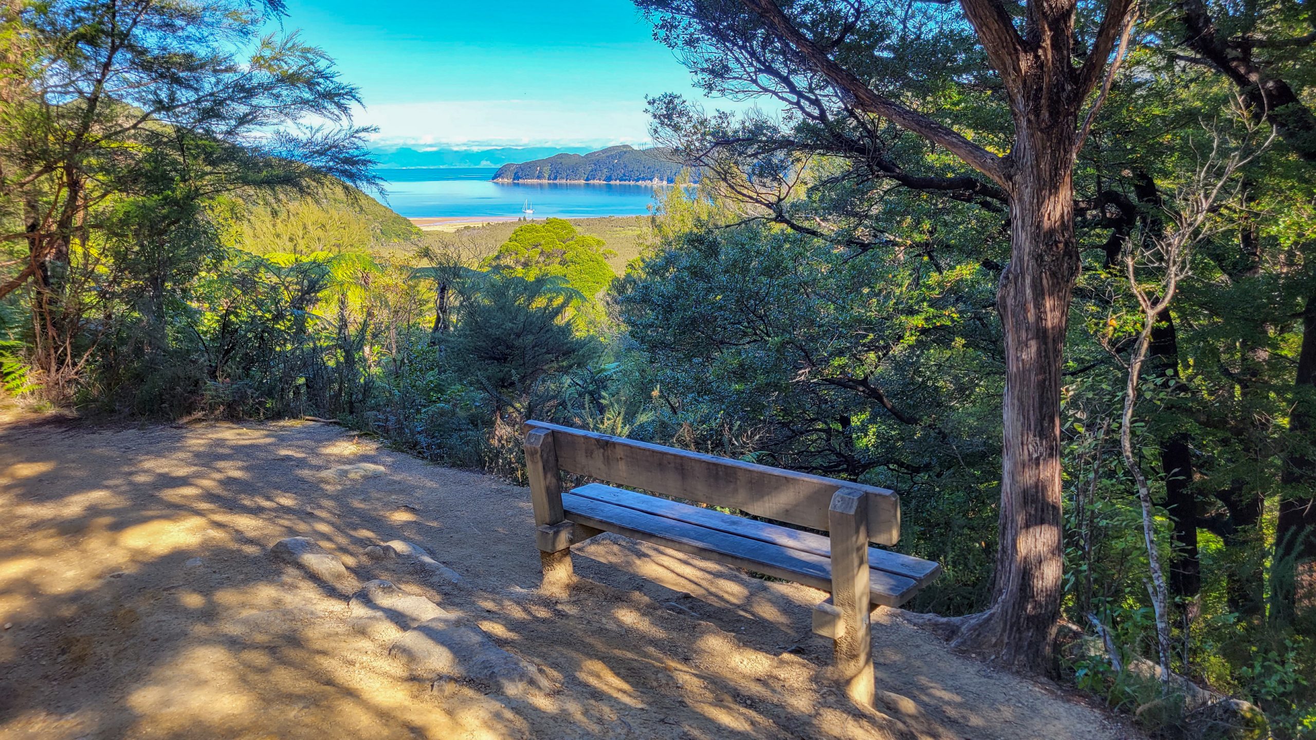
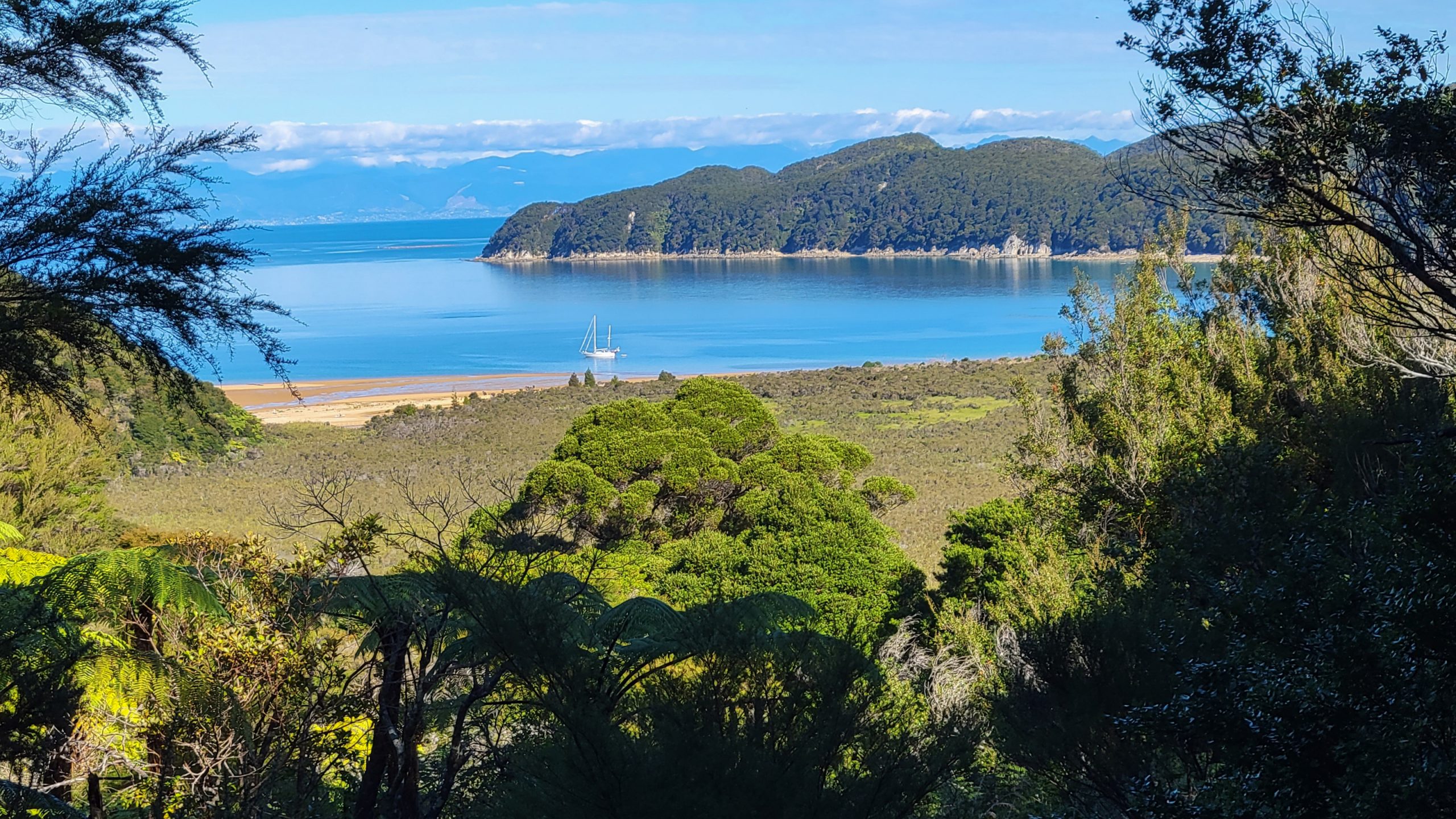
The pack was even easier to carry than I thought, the usually taunting increase to Gibbs Hill Pass felt nice and once I saw Whariwharangi hut in the distance I knew I could make it all. After an hour at the beach the path started sloping up Seperation Point and I do not regret walking the detour to the light house, the views are stunning and watching the baby seals down at the water line was amazing.
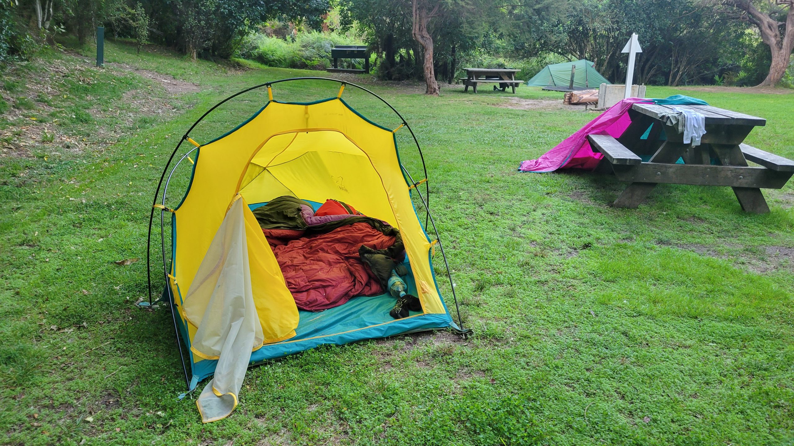
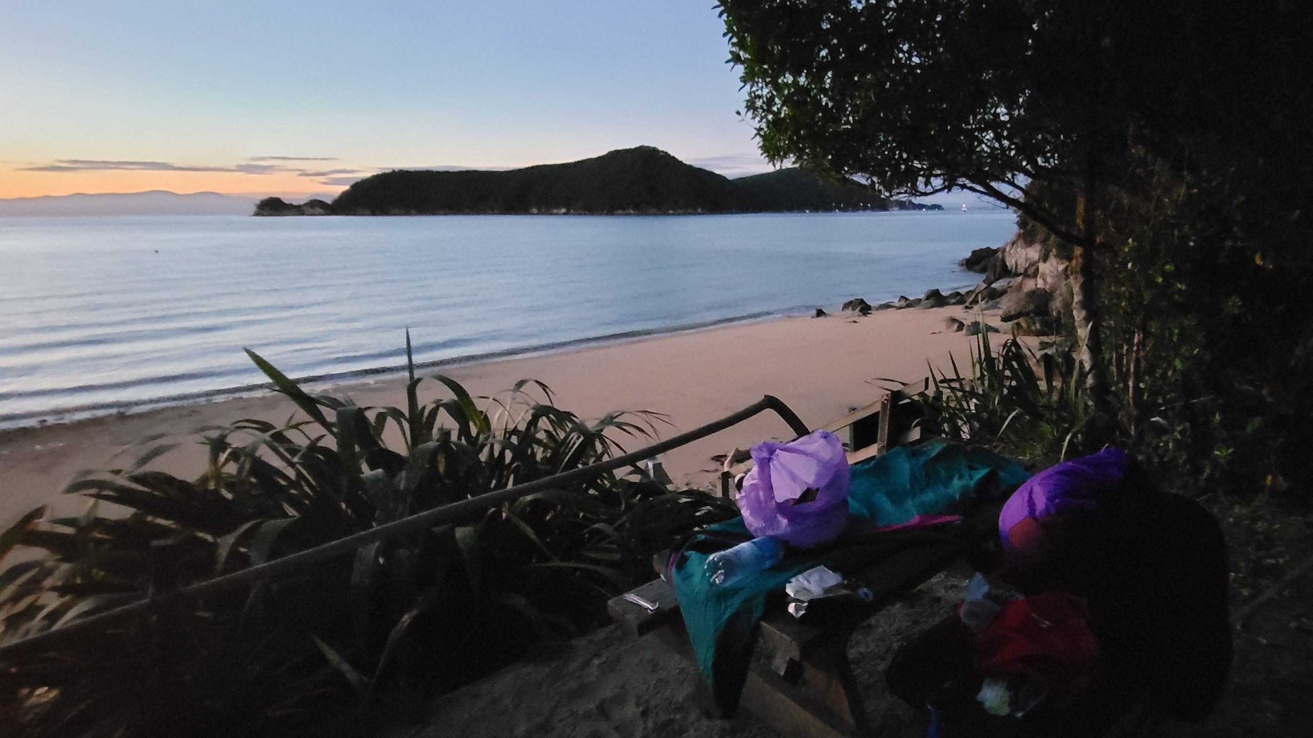
An early arrival at Mutton Cove Camp allowed for creative flax weaving and starting the cool sudoku book I got just for this. Lucky enough I also brought a pen.
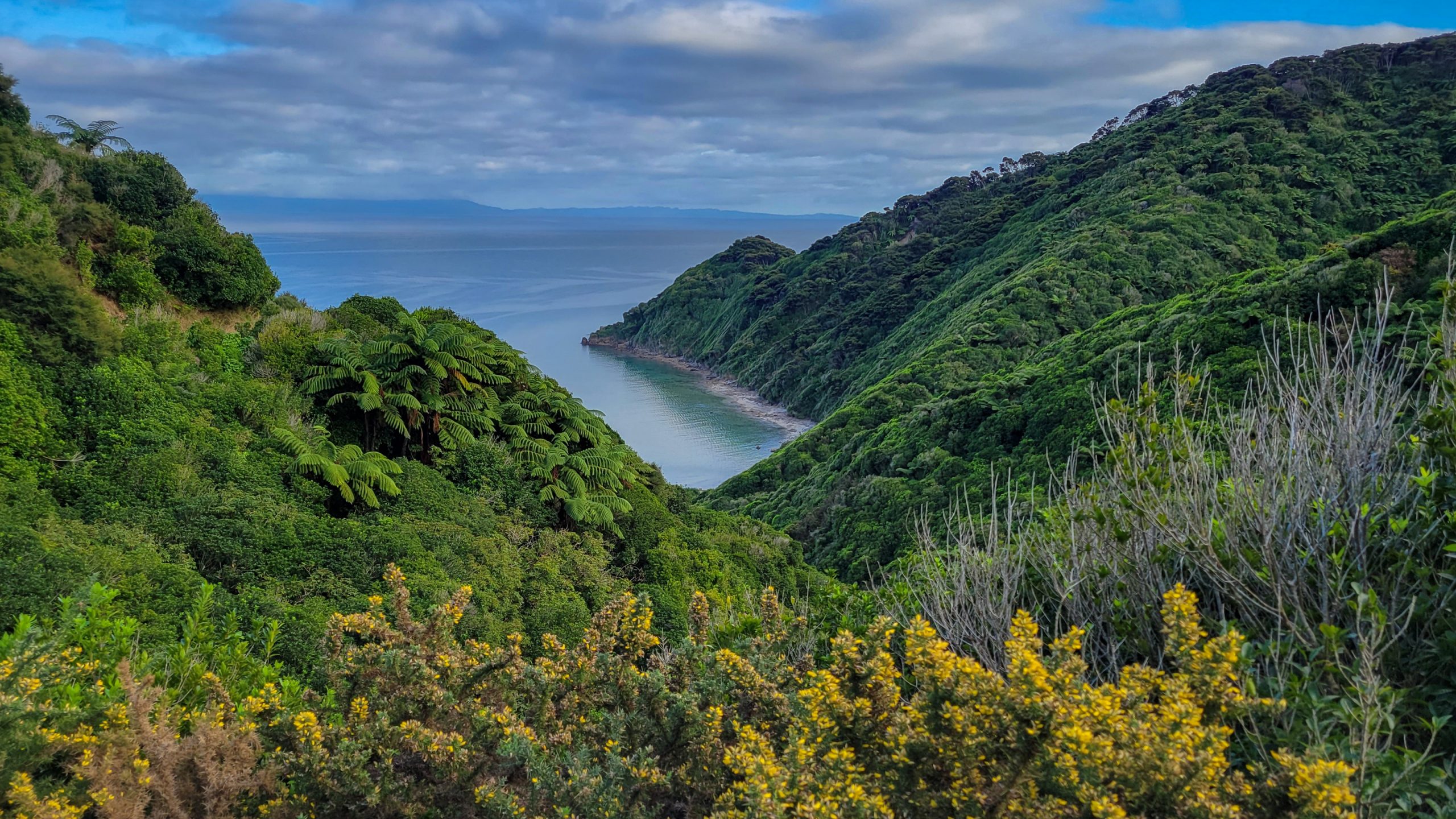
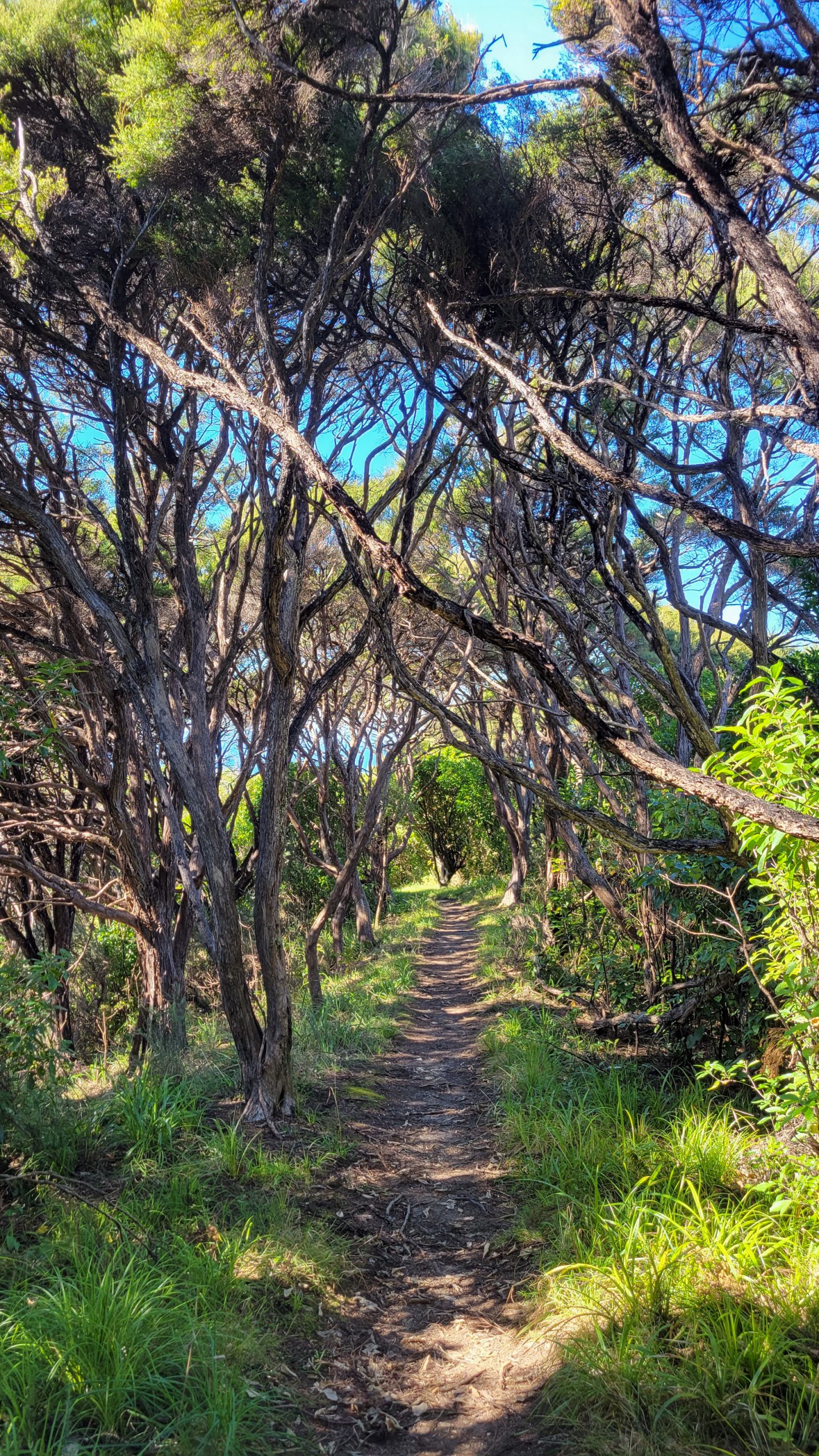
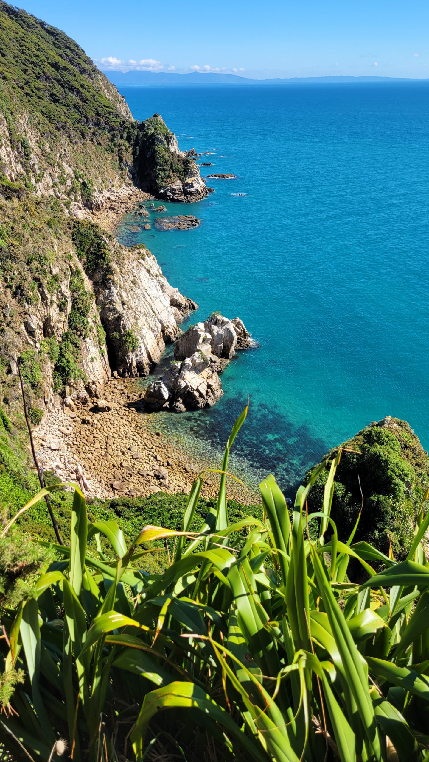
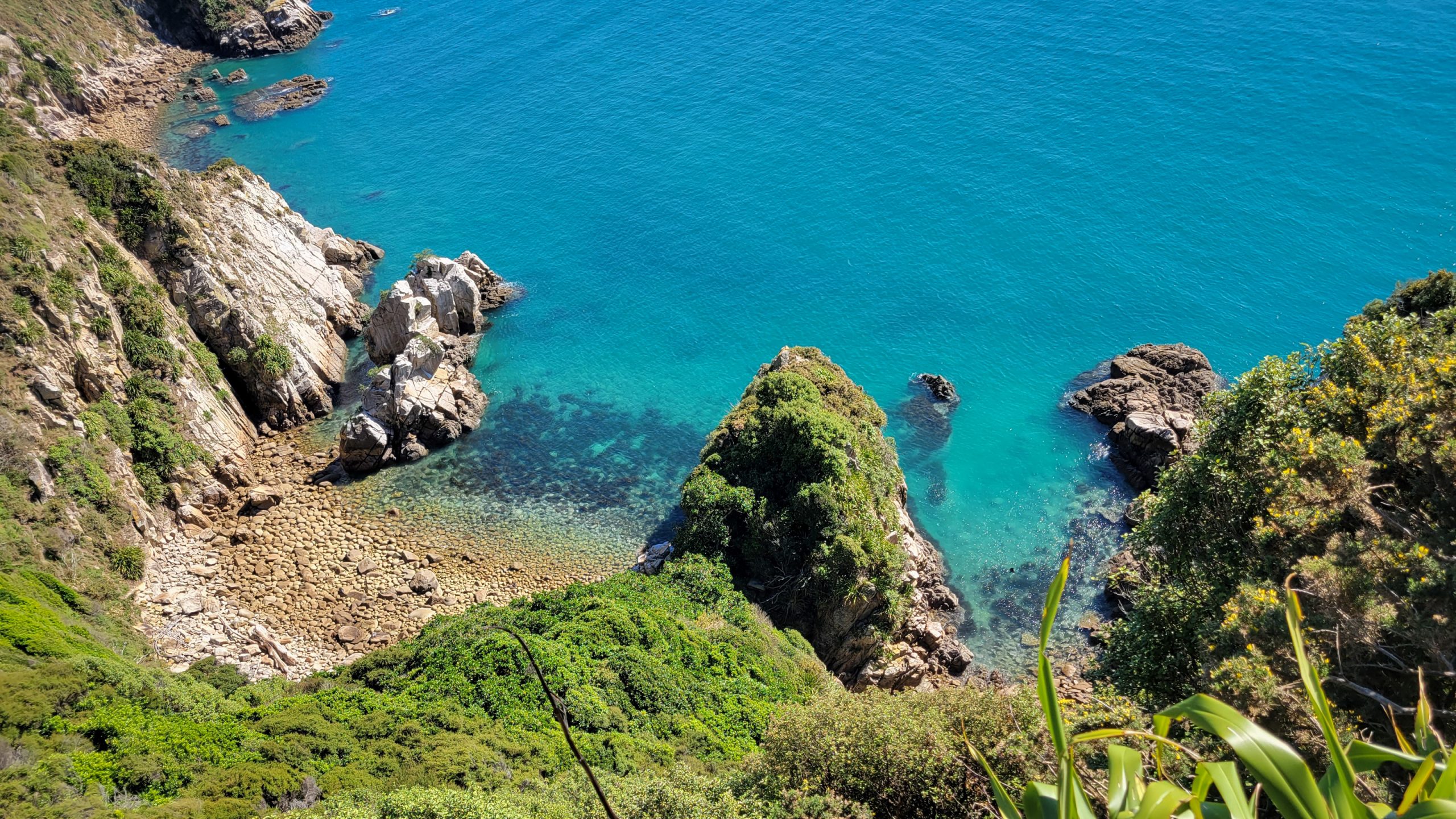
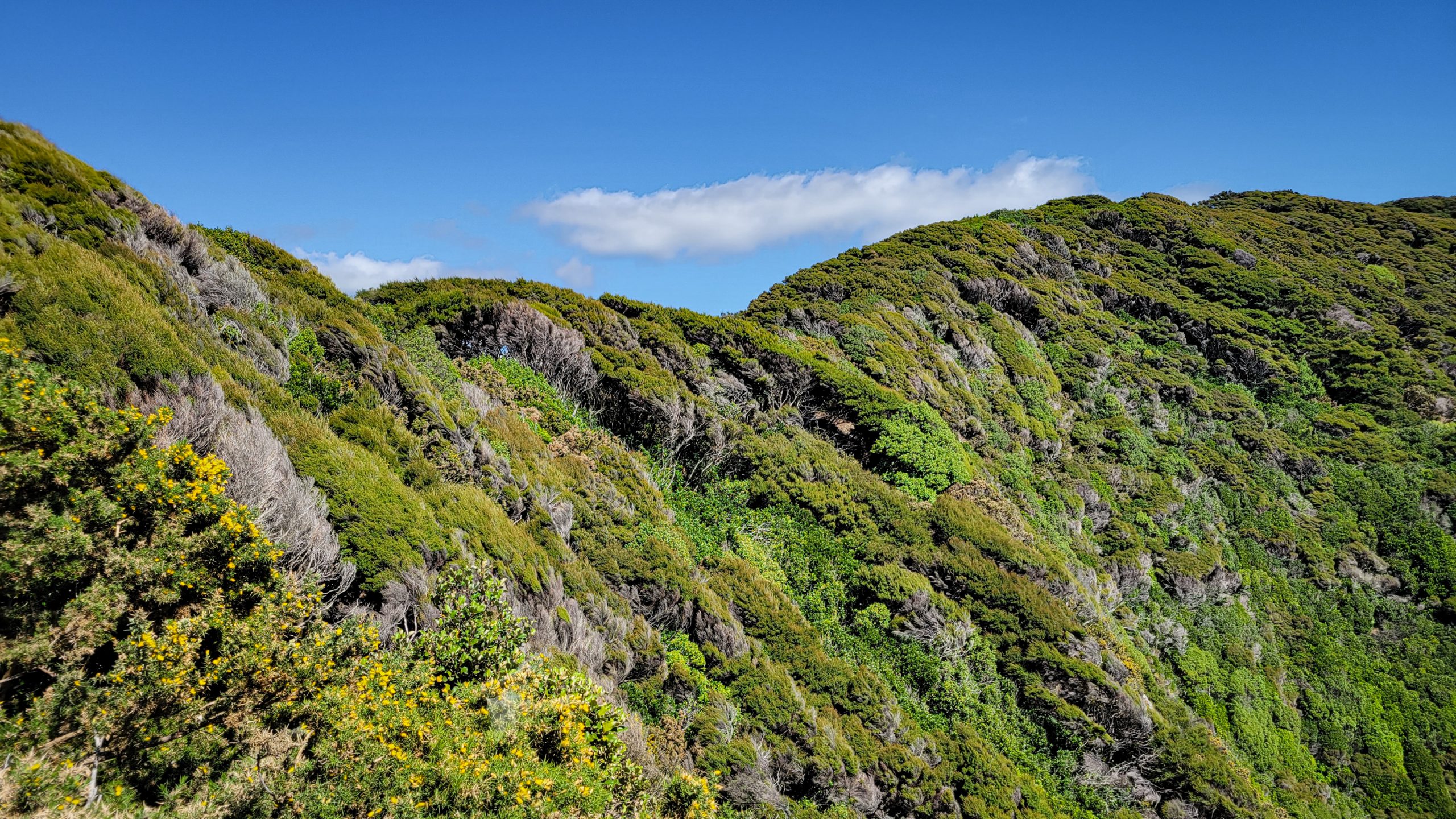
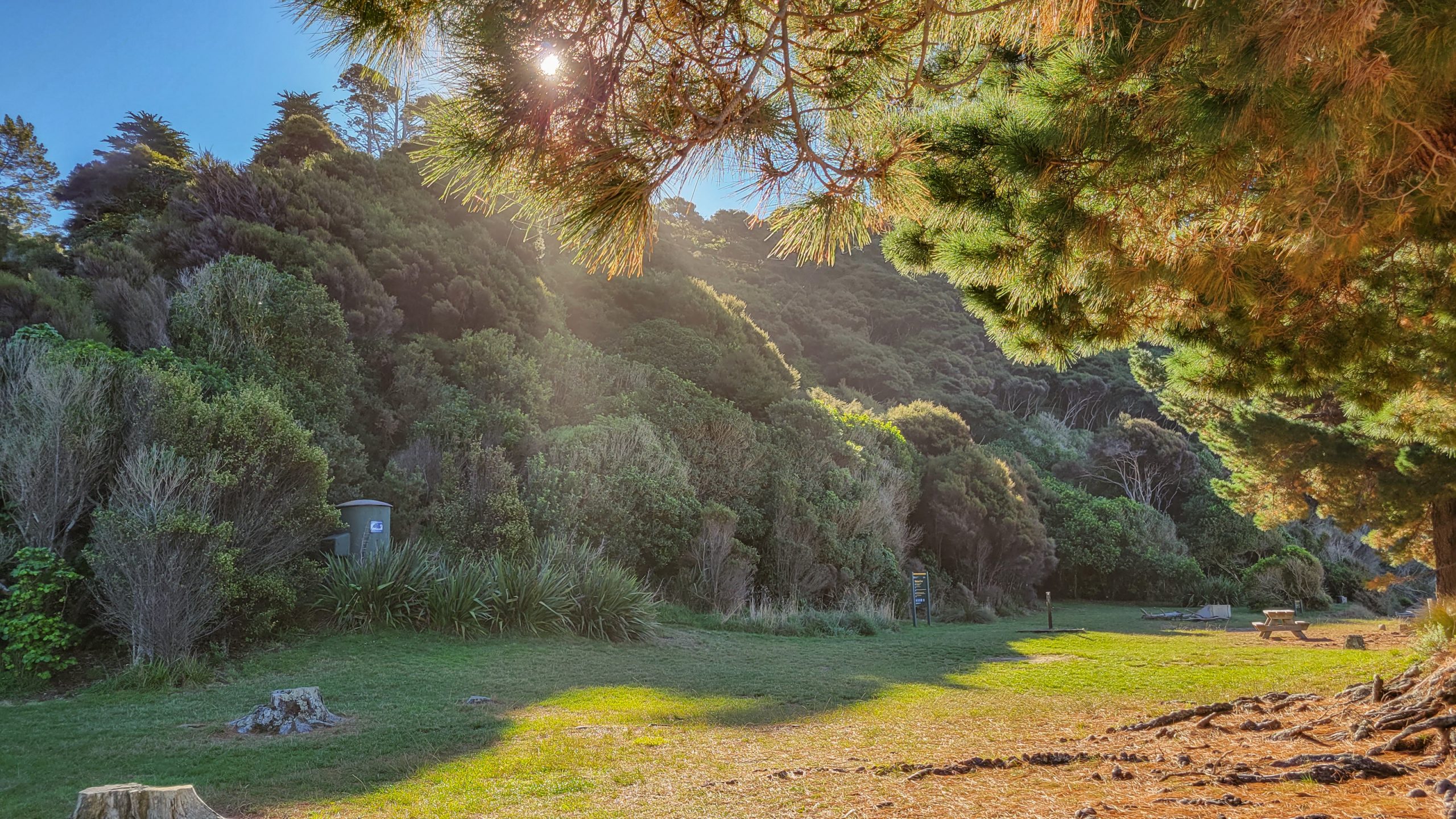
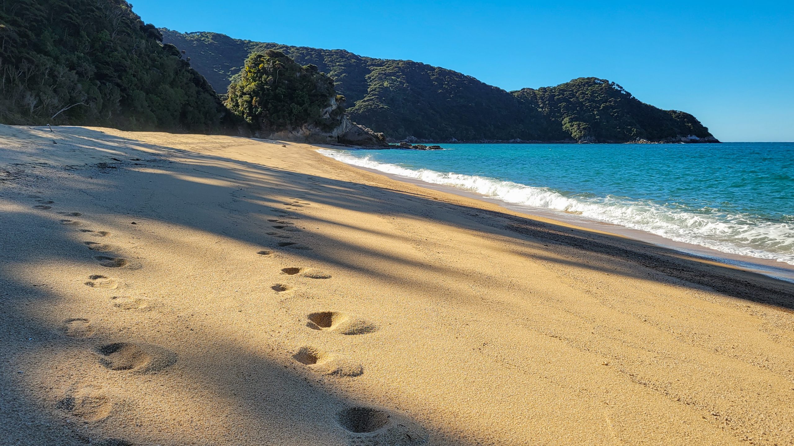
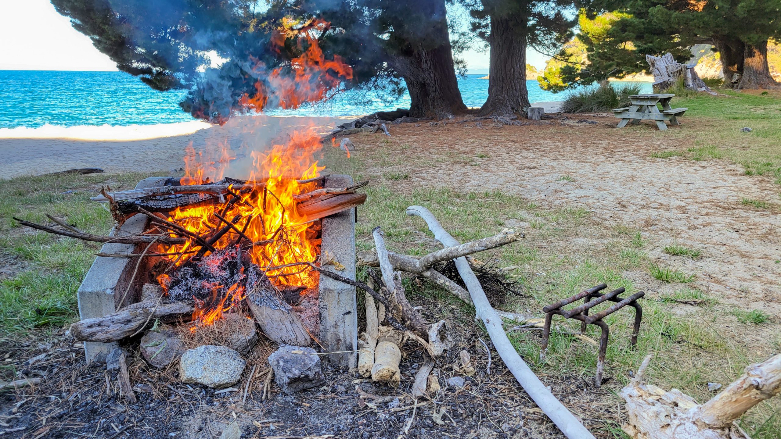
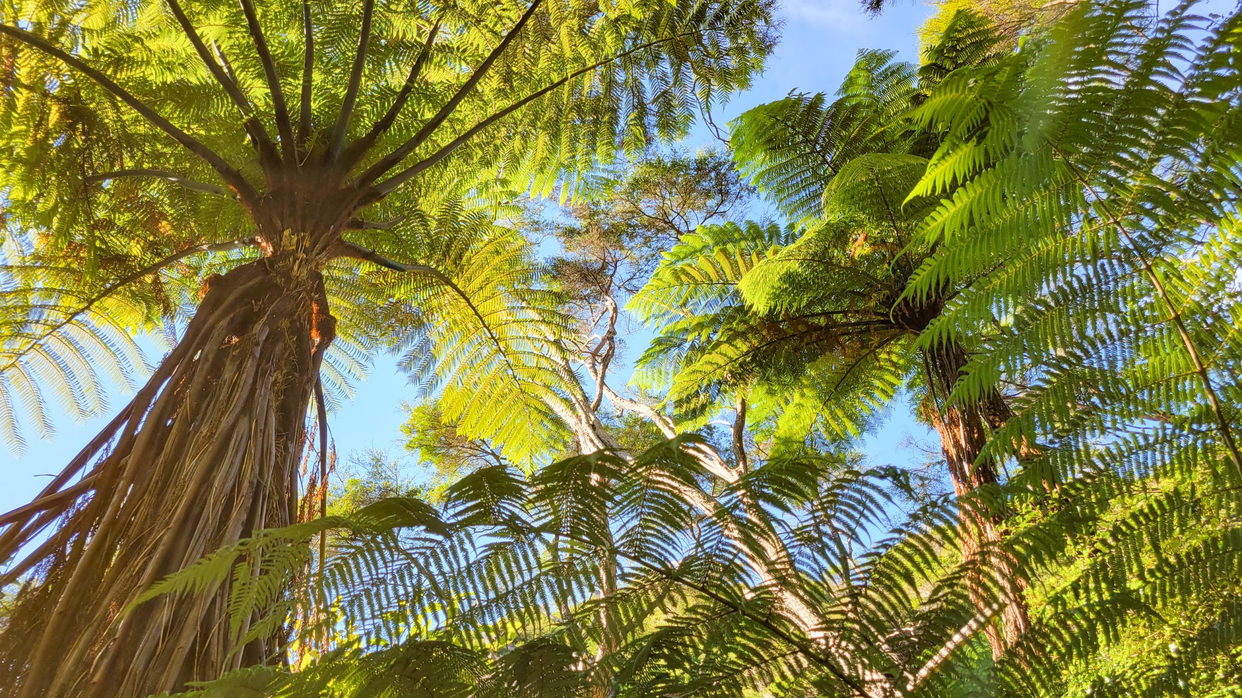
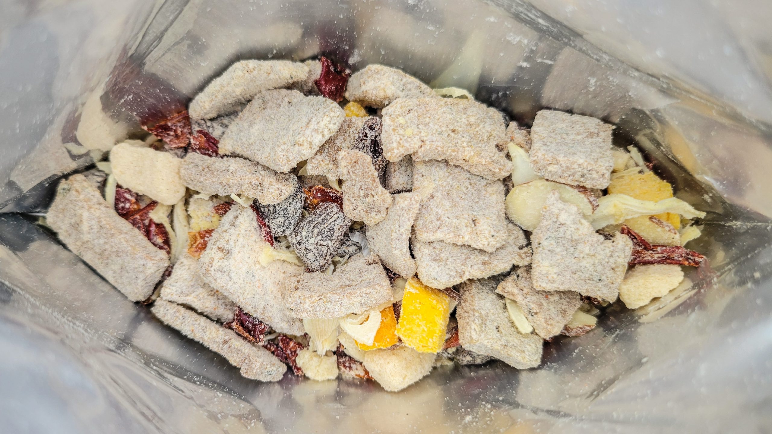
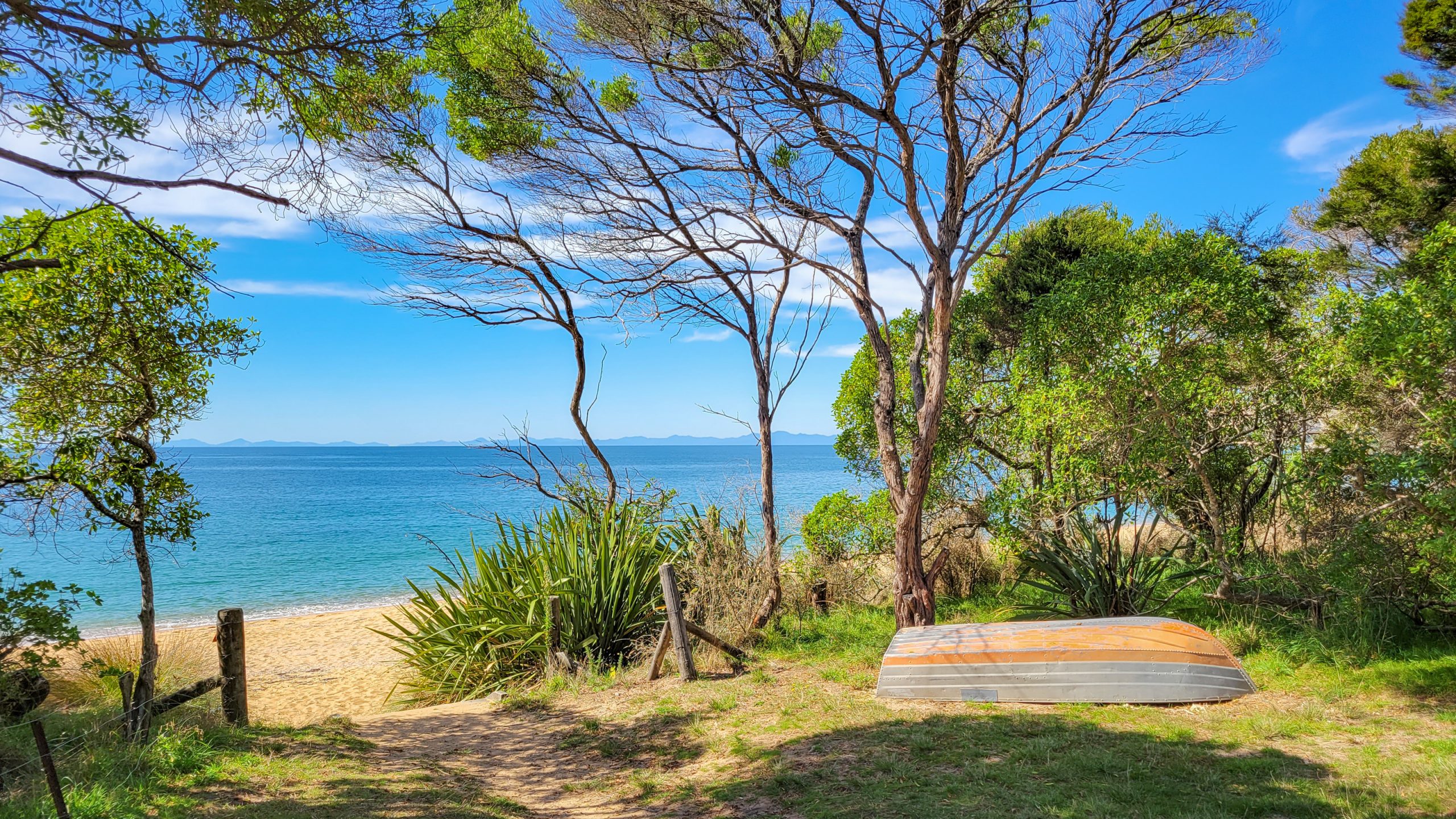
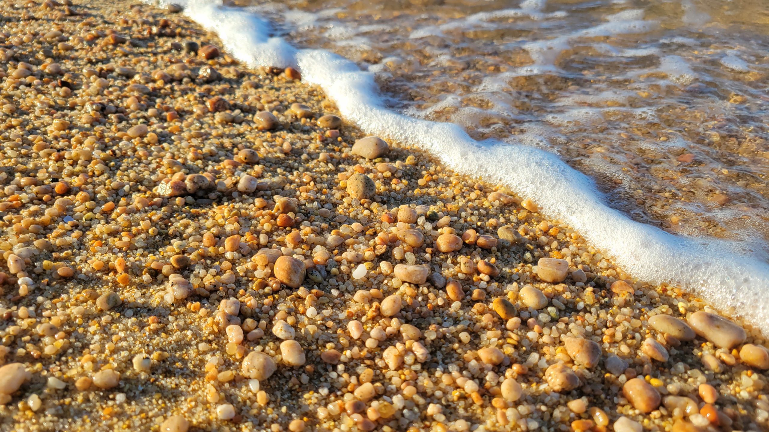
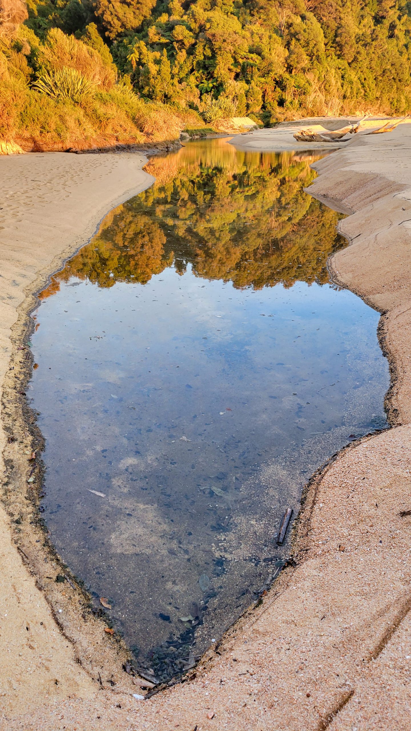
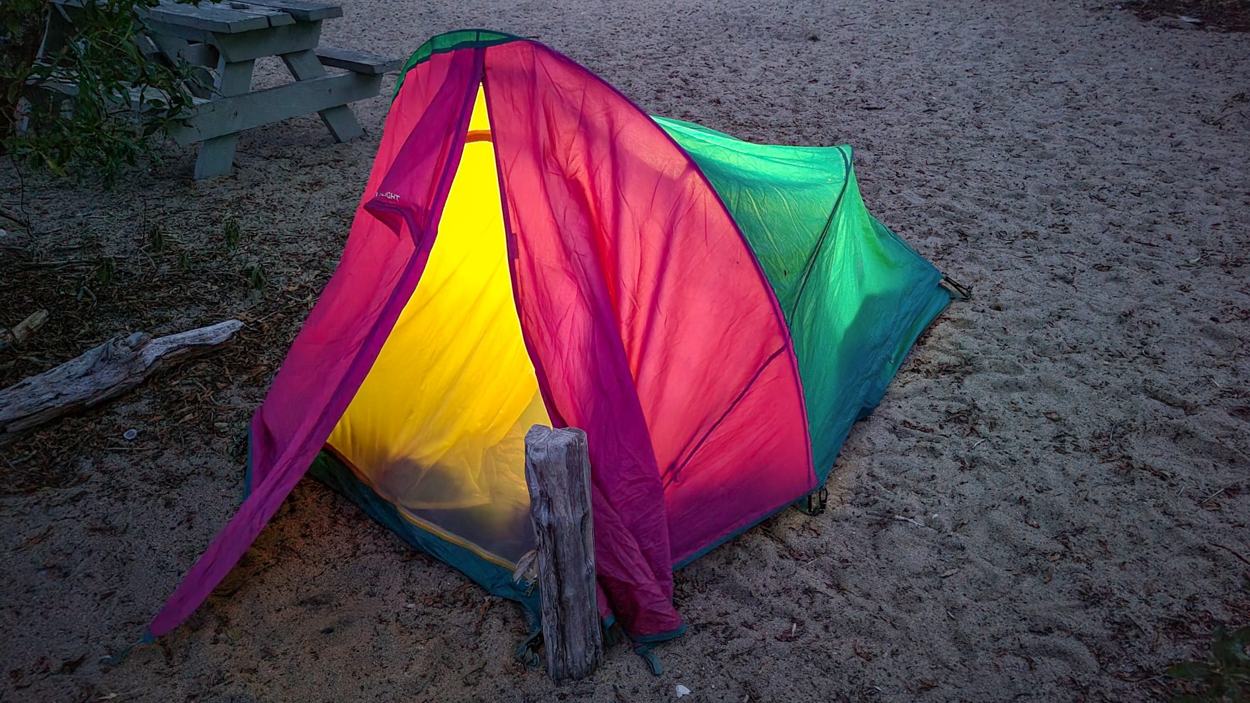
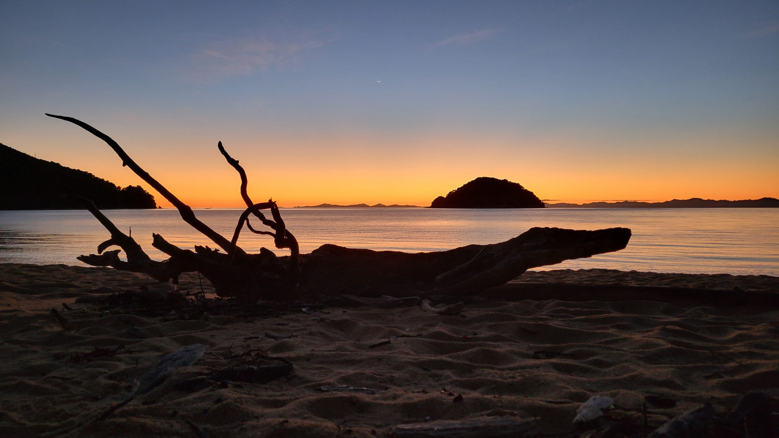
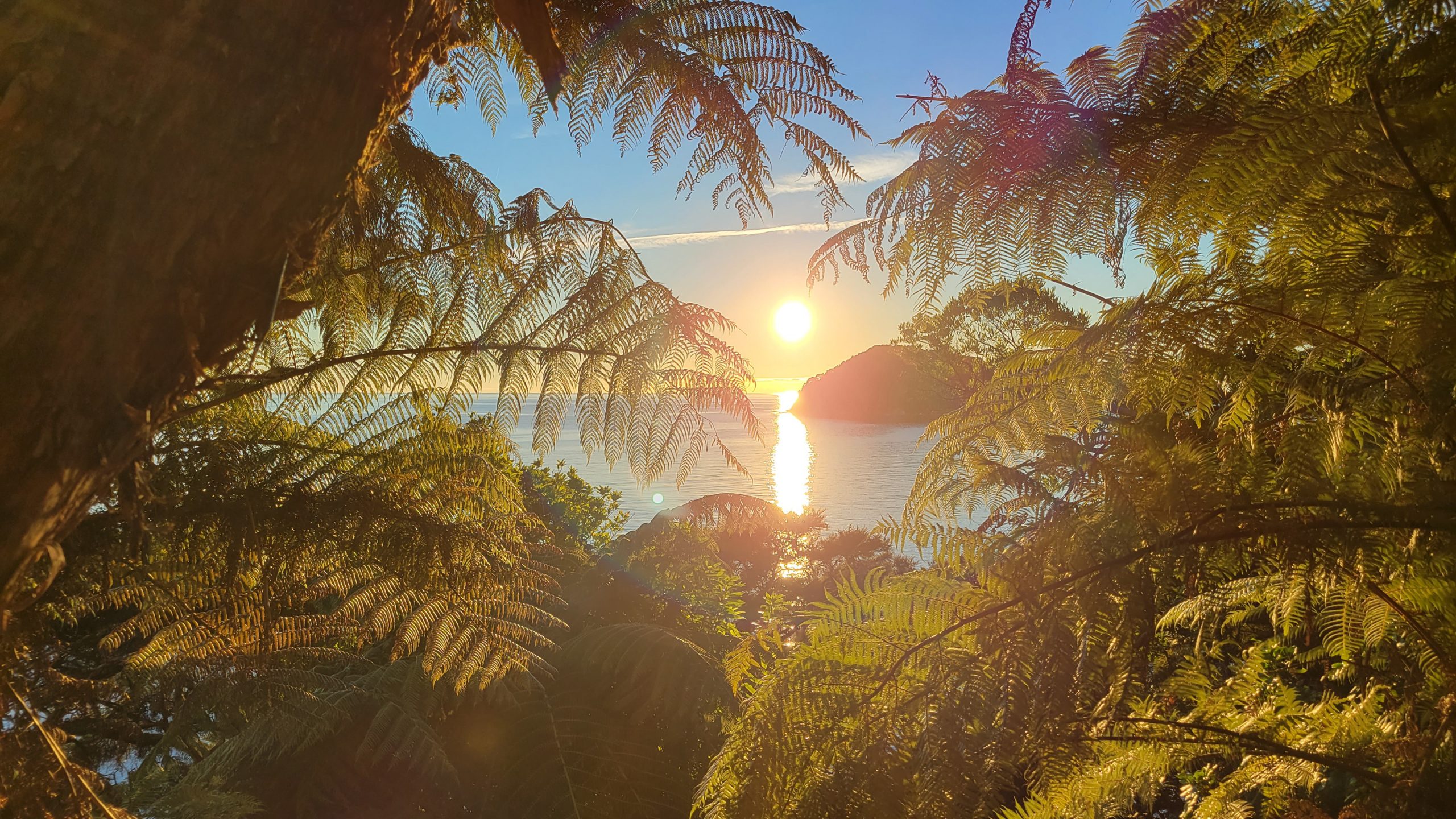
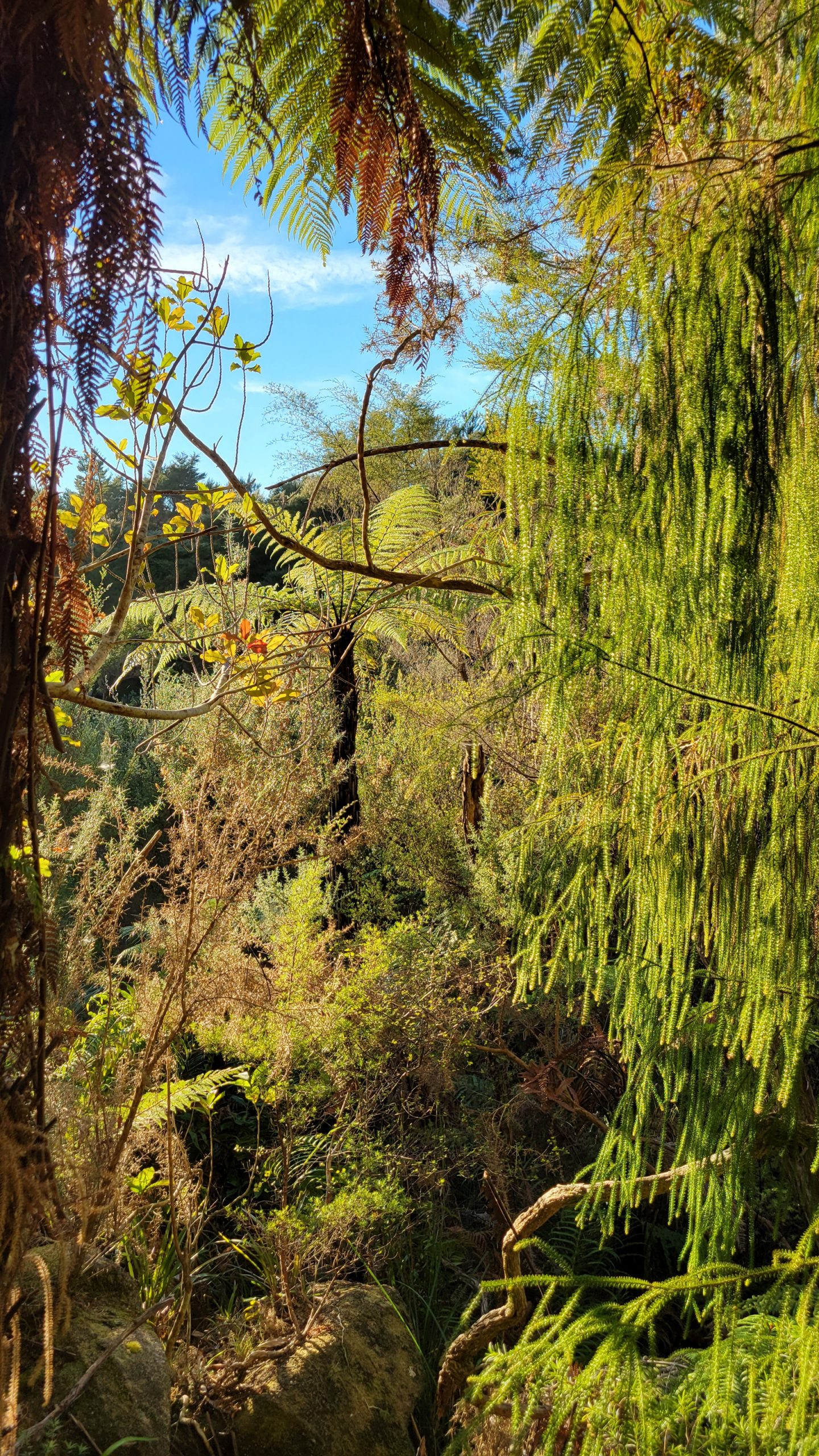
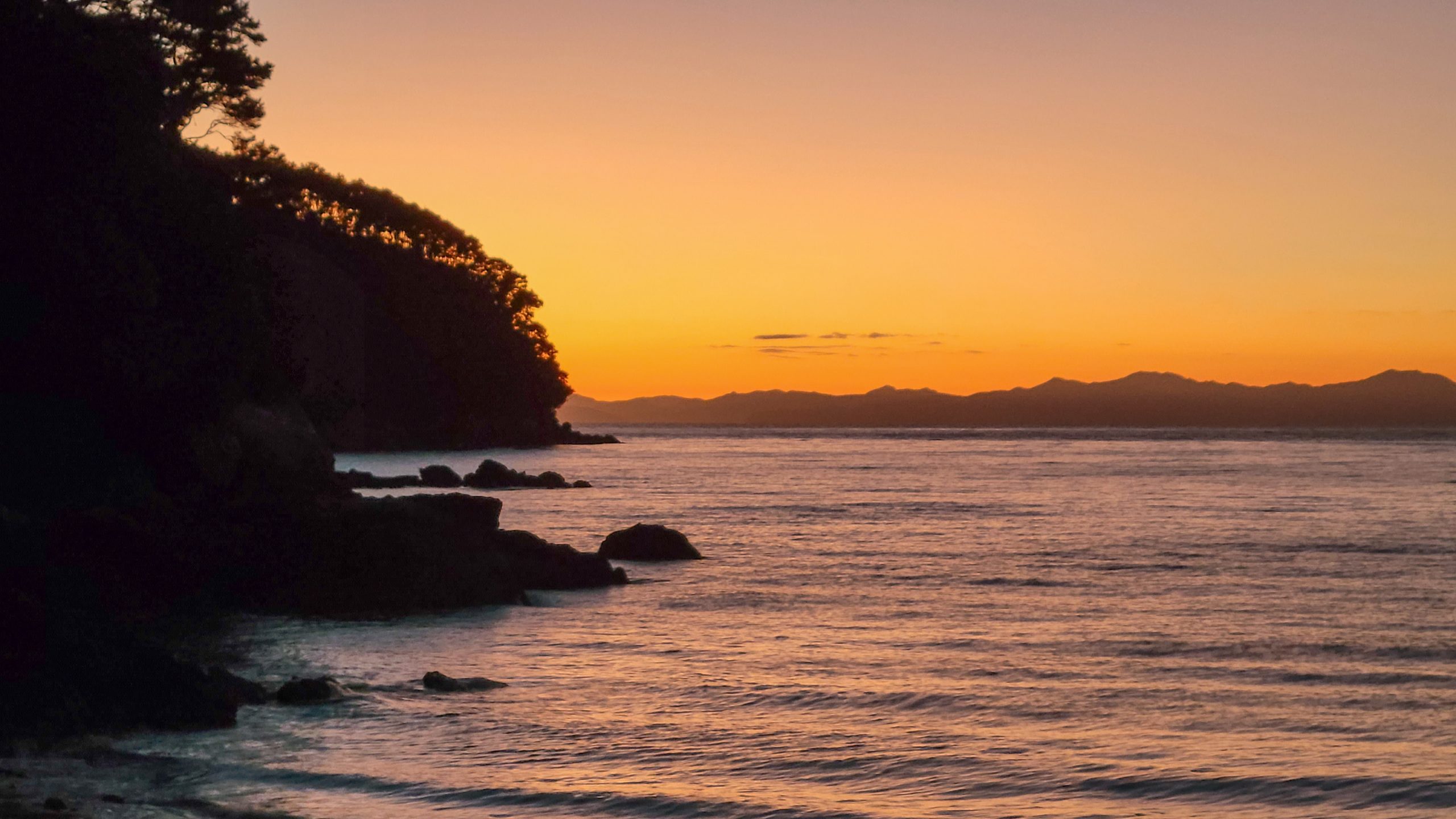
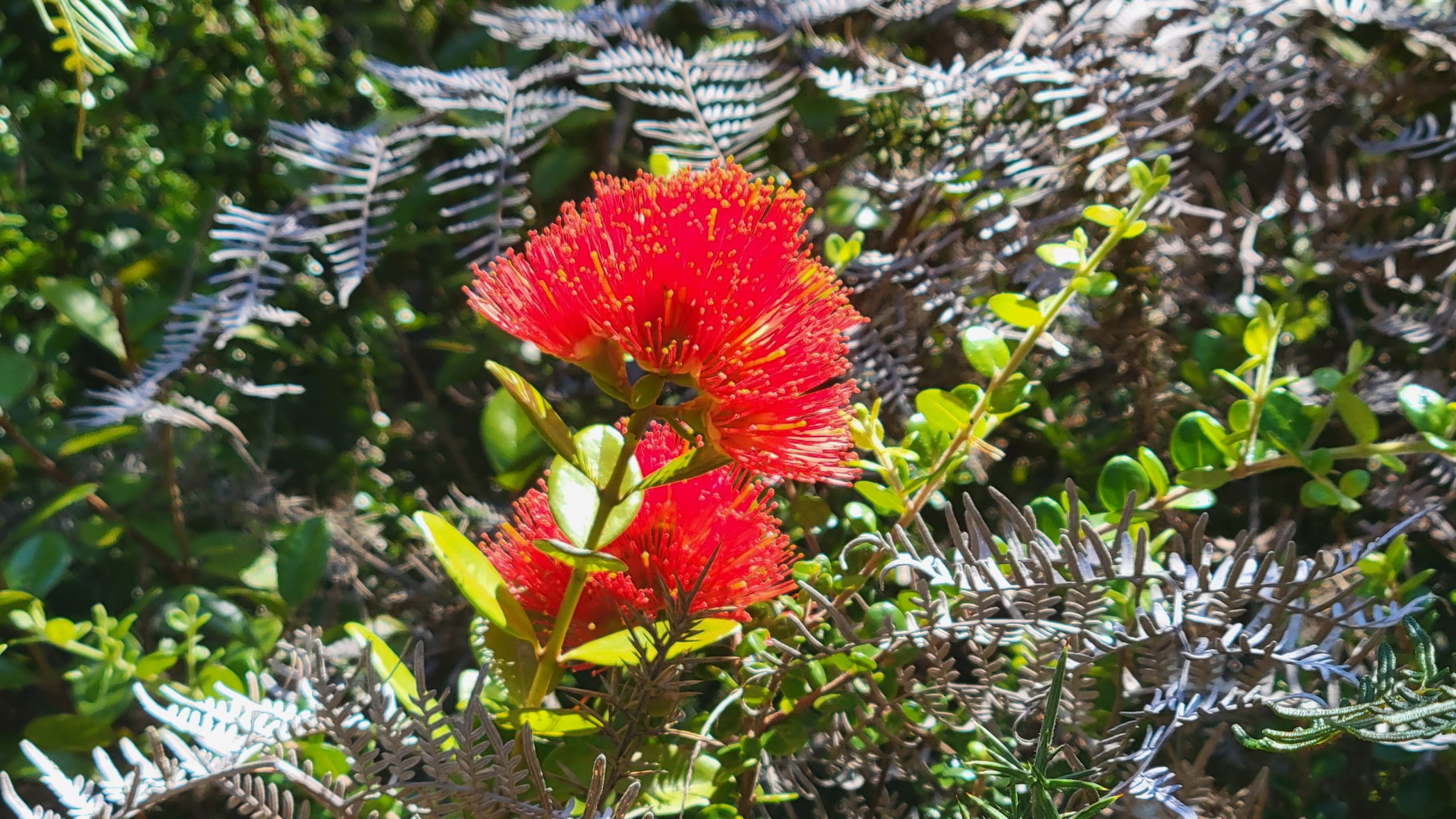
Walking up to the saddle, a few clouds help keeping the temperature down and it’s actually enjoyable.The Wainui Inlet to the left, seperated from the rest of Golden Bay just by a slim sand barrier.First view of Mutton Cove, I’m stoked but I still want to make the Separation Point detour.The narrow path is heading through weather trained shrub land, the bushes get smaller and smaller the nearer the cliff comes.There it is. Only a few mountain flaxes keep the stones together.That’s at least a hundred metres sheer drop. Down there must be a baby seal somewhere, it sounds like a crying baby, eirily weird.And suddenly it’s all just rocks with a small white lightbox at the top.Bush ridge.Didn’t realise it while walking, but the arrival at the beach made my knees wobbly and I was just relieved to be there.Examining the area surrounding the camp, what the emergency exits are (high ground), the water/flooding situation, what kind of stuff drifts onto the beach, animals, a sheltered space for the tent …The camp. I’m literally the only person here except for a few hikers that passed through and are long gone.First time in years that I actually slept in my storm tent, gladly remembered all the tricks, the only thing that escaped me was that before you do anything on the beach, prep your extremities with anti sandfly lotion. Ugh.One of many pre cooked and frozen dry chewy astronaut meals.Separation Point granite sand and chunks.The sun is setting really fast at a certain point and I try to do as much as possible while I can see where I step, my headlamp will be my only friend later lol.A small fire lightens up the mood :) Fiddling in the hot embers in the dark is really relaxing.
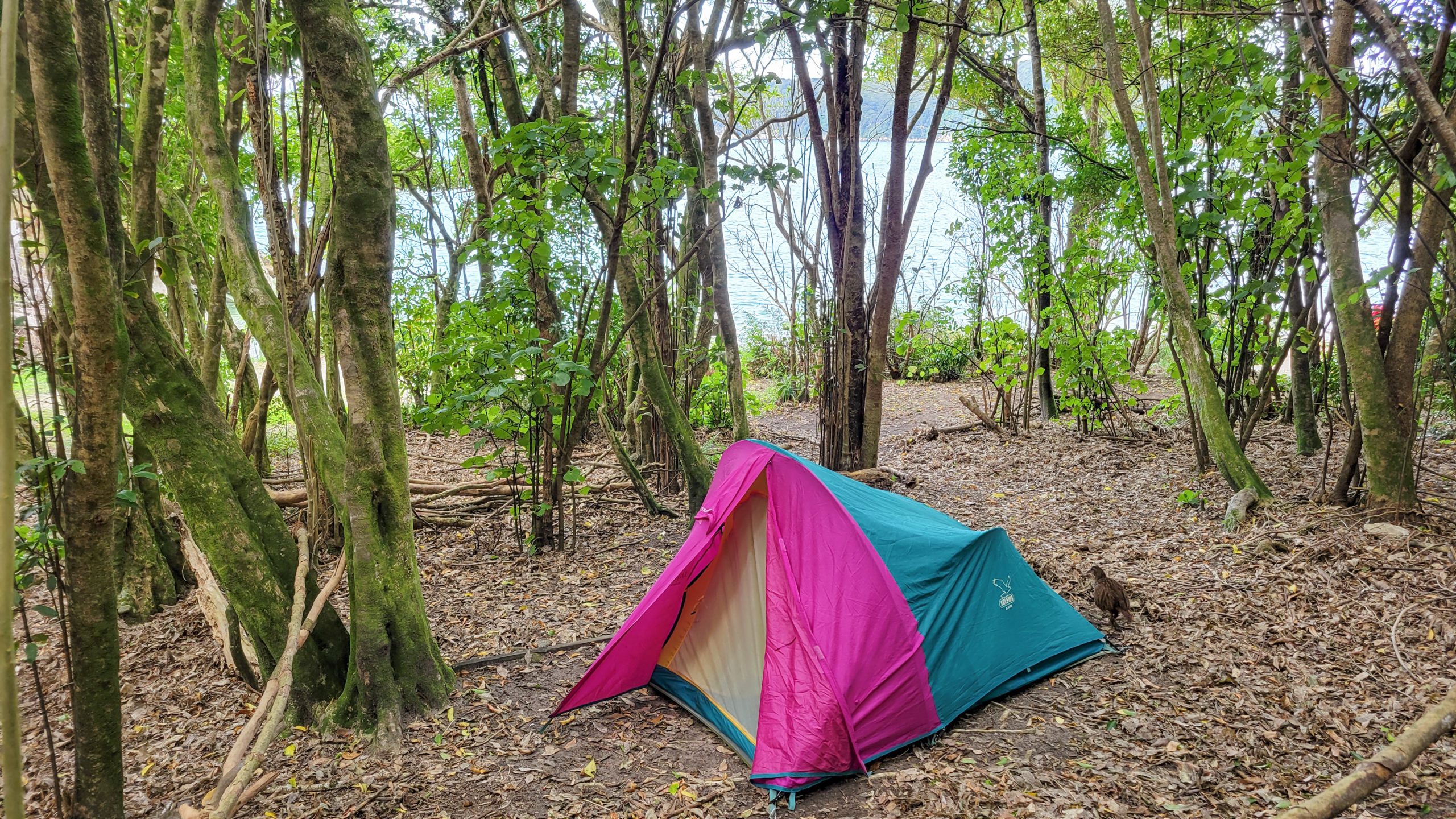
Day 2: Mutton Cove – Waiharakeke Bay.
Mutton Cove was the ultimate free spirit camp, not a lot of people rest here.
Waiharakeke is also not very frequented, maybe because there’s other, better options around (that are more instagrammable), but even though just 50 m from the beach it was so nice and quiet, recommend!
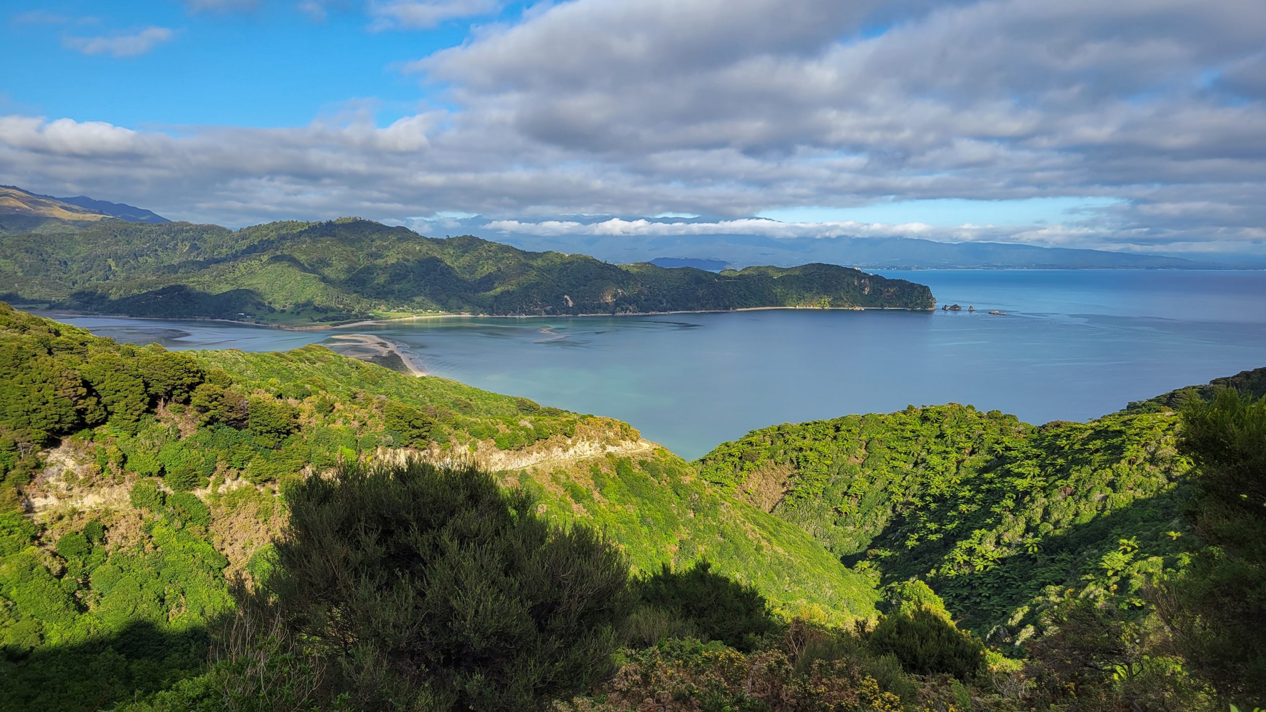
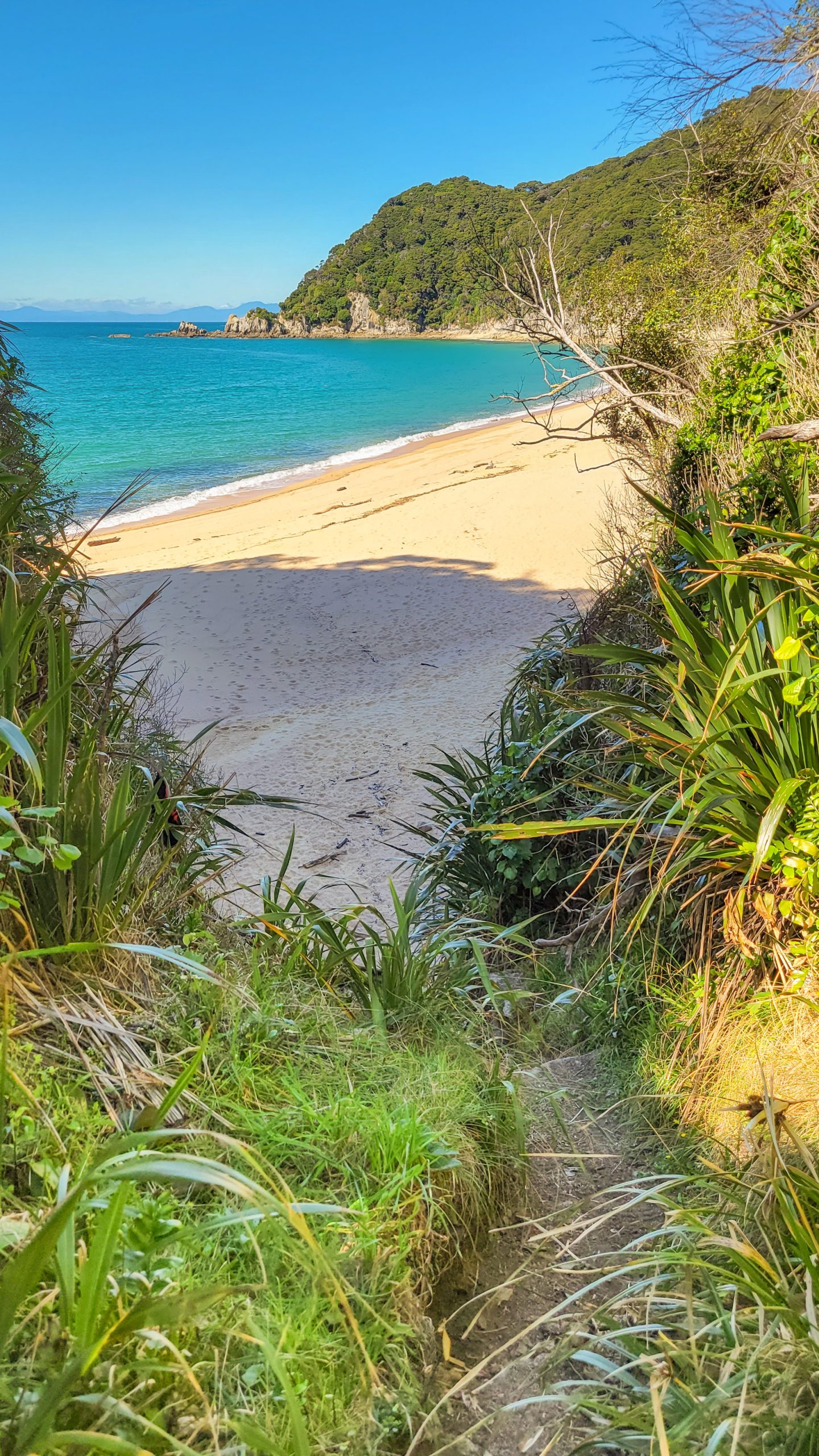
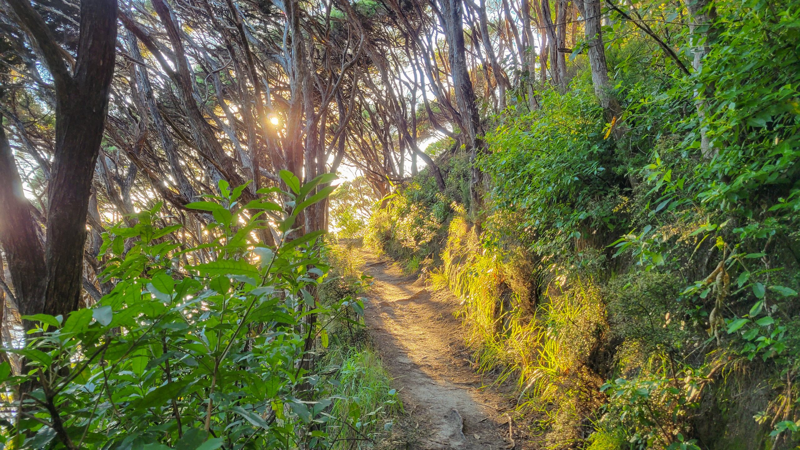
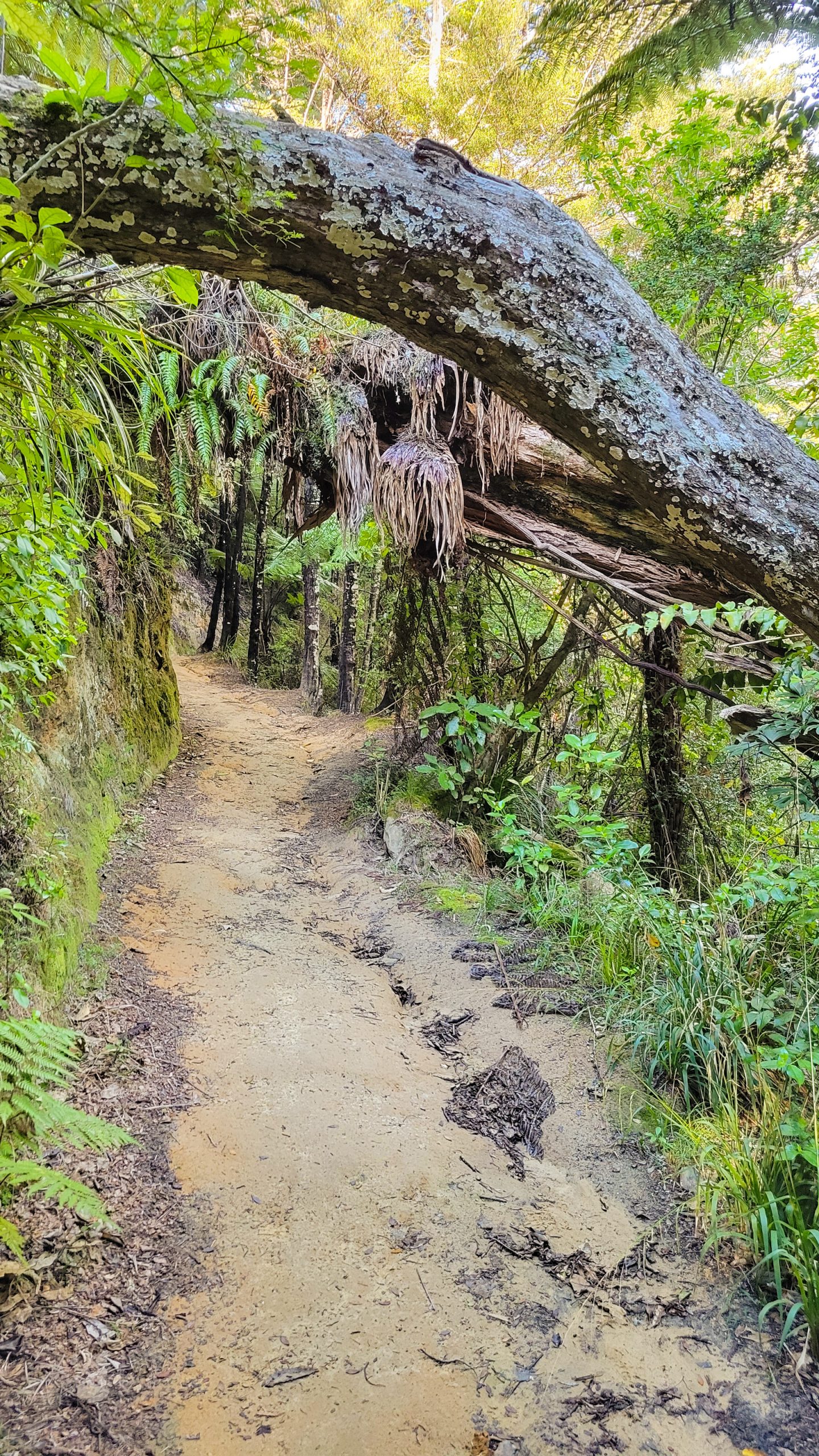
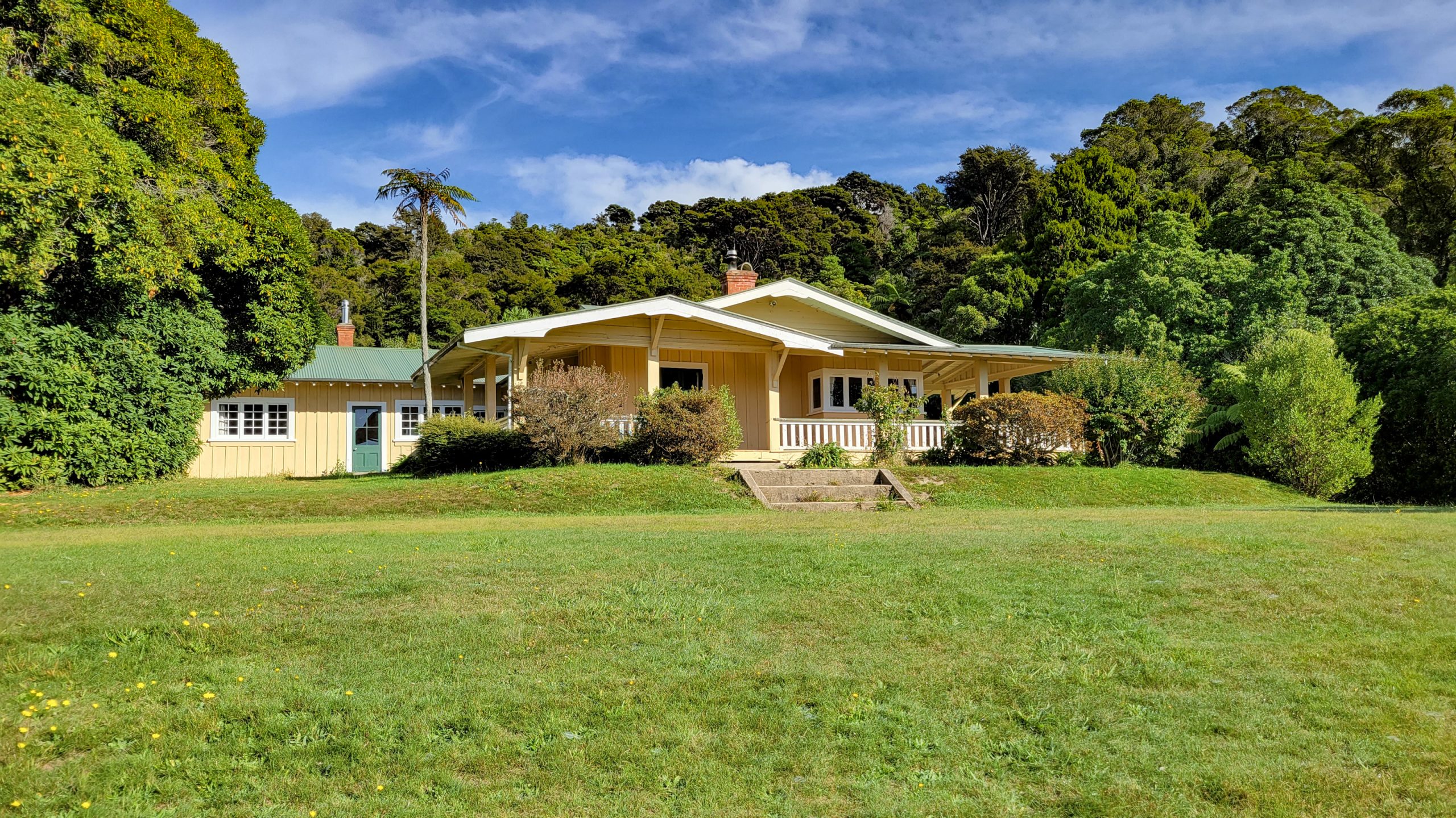
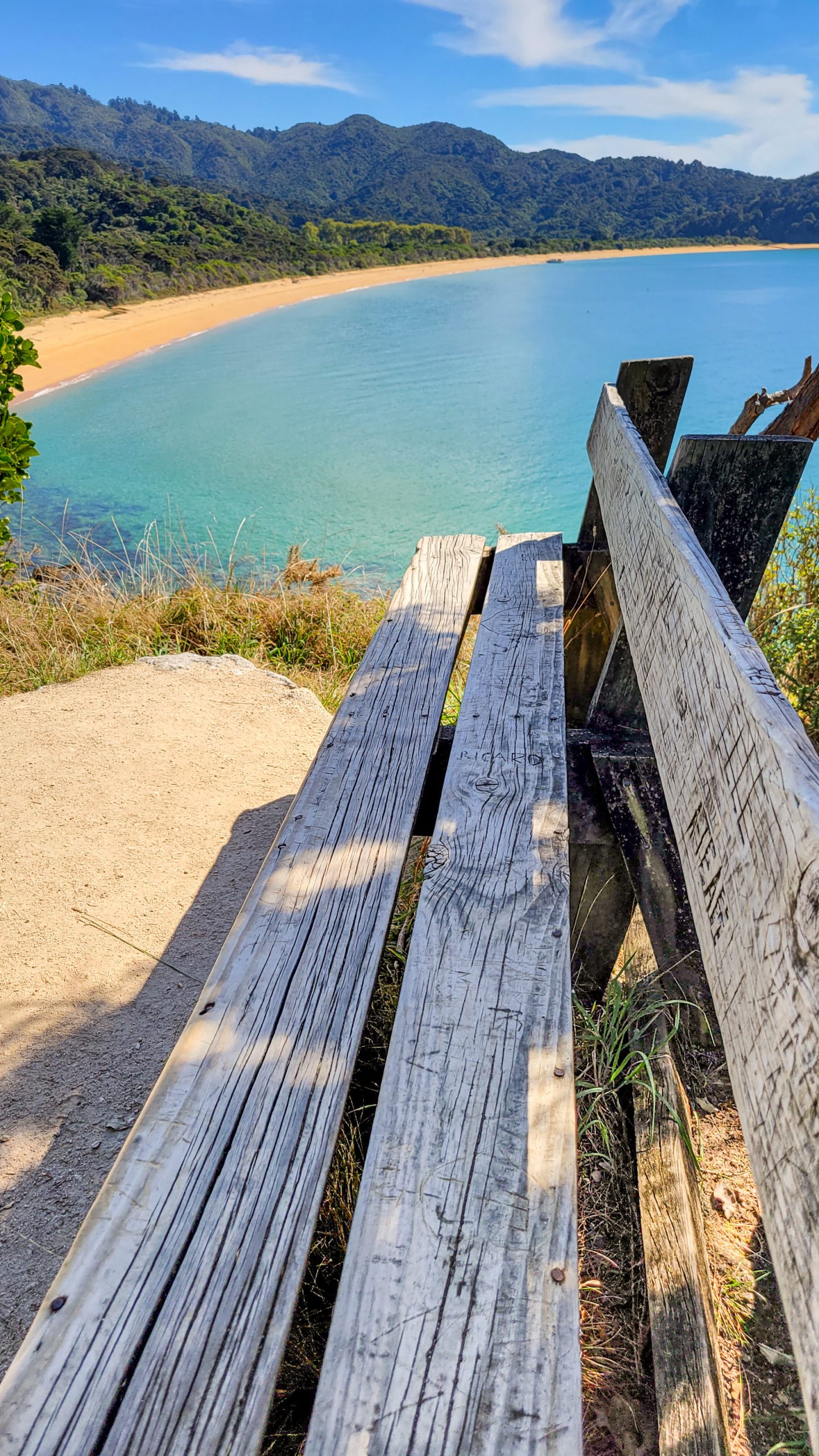
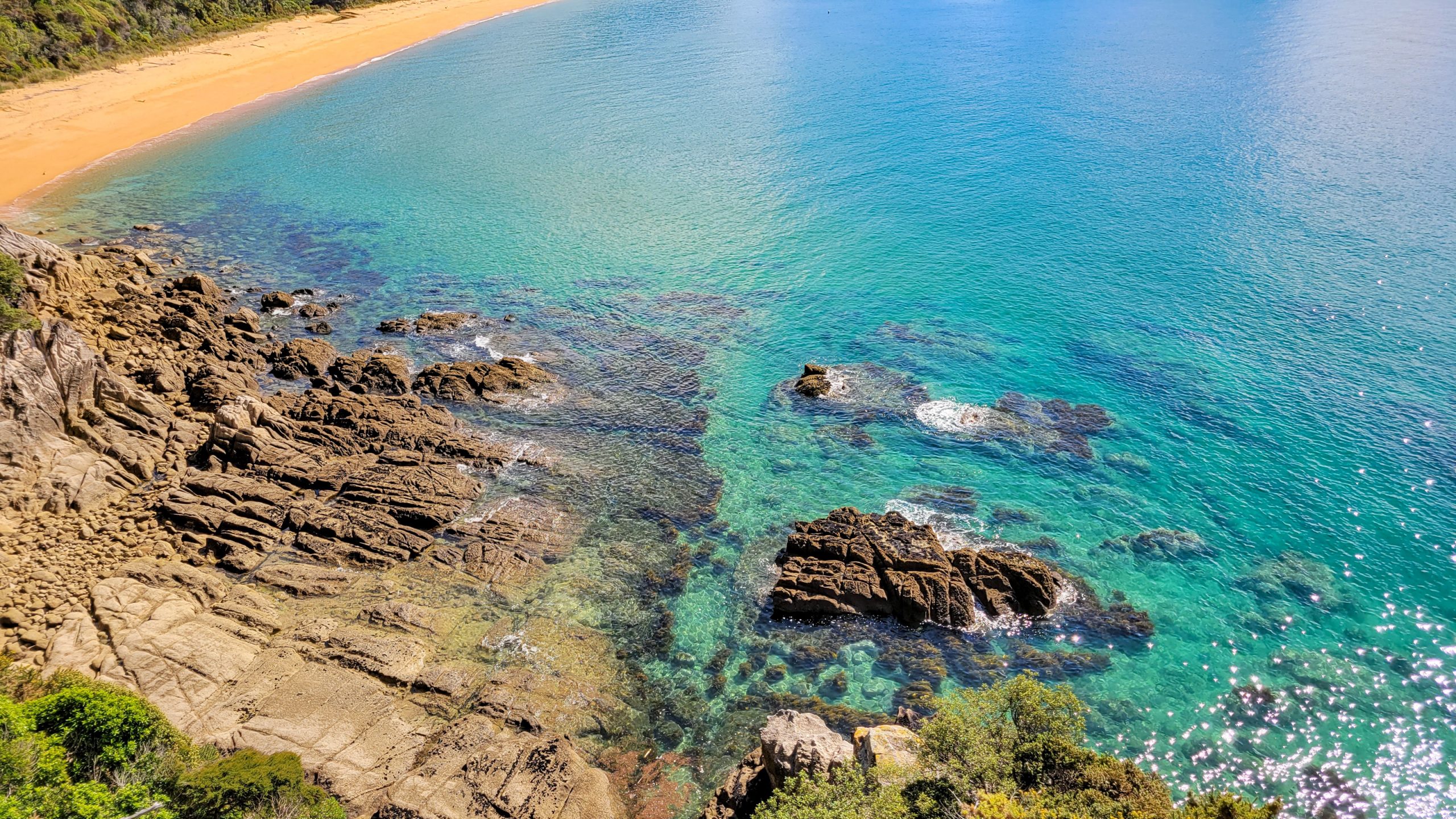
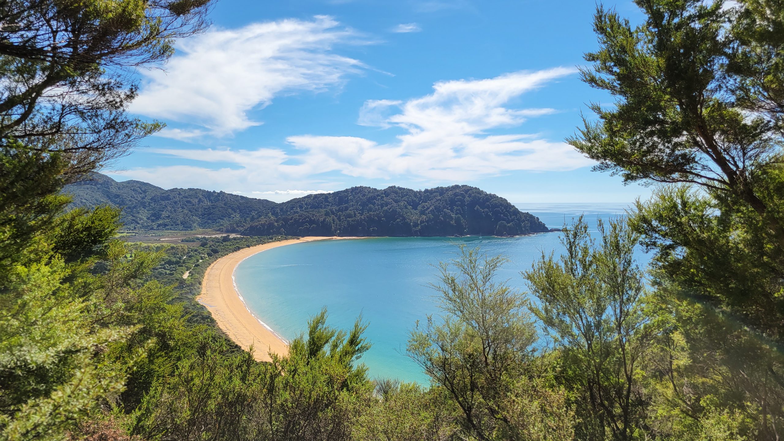
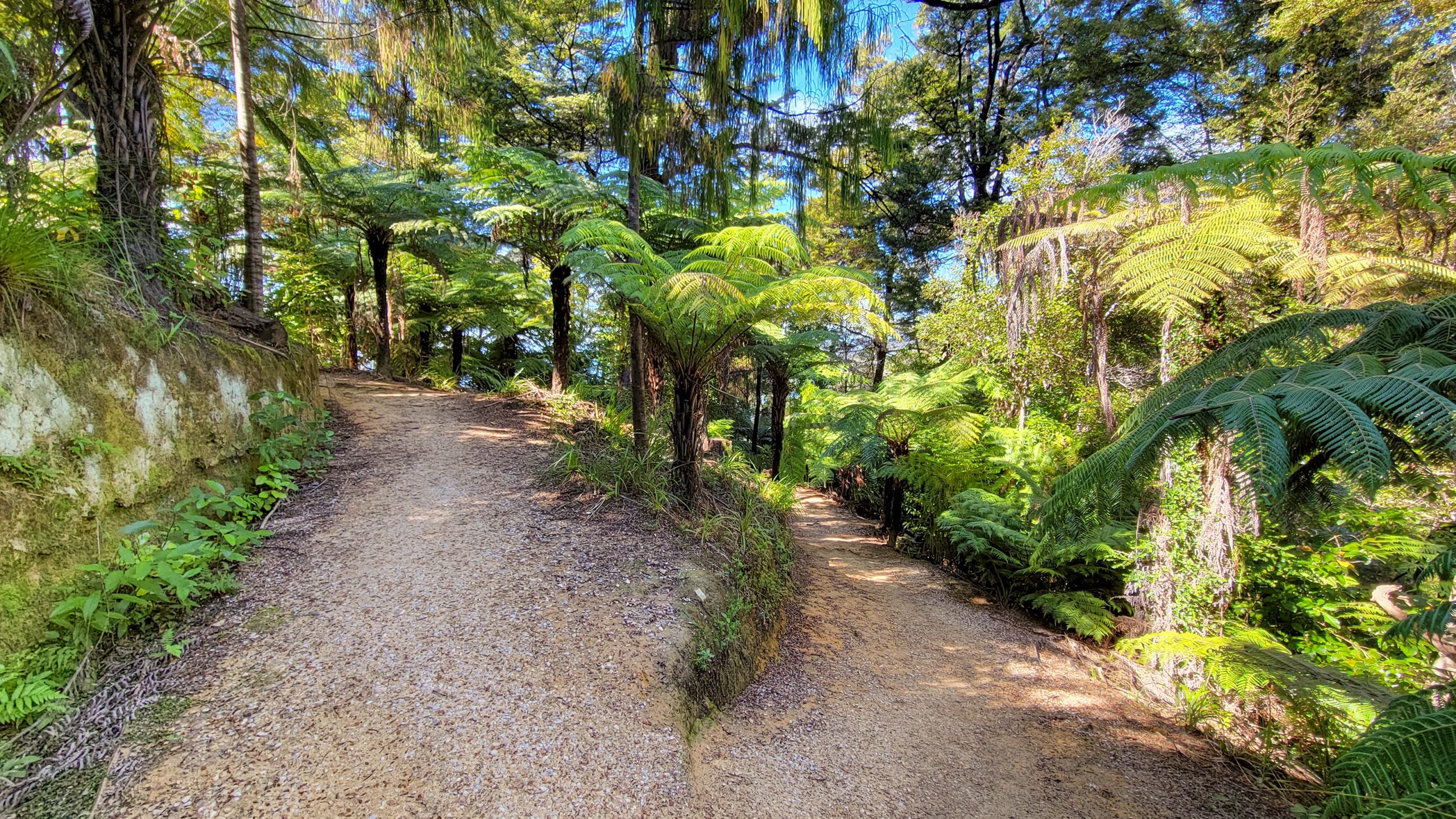
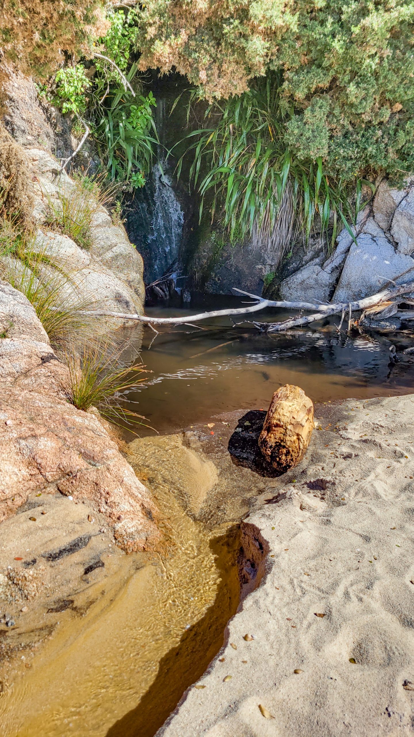
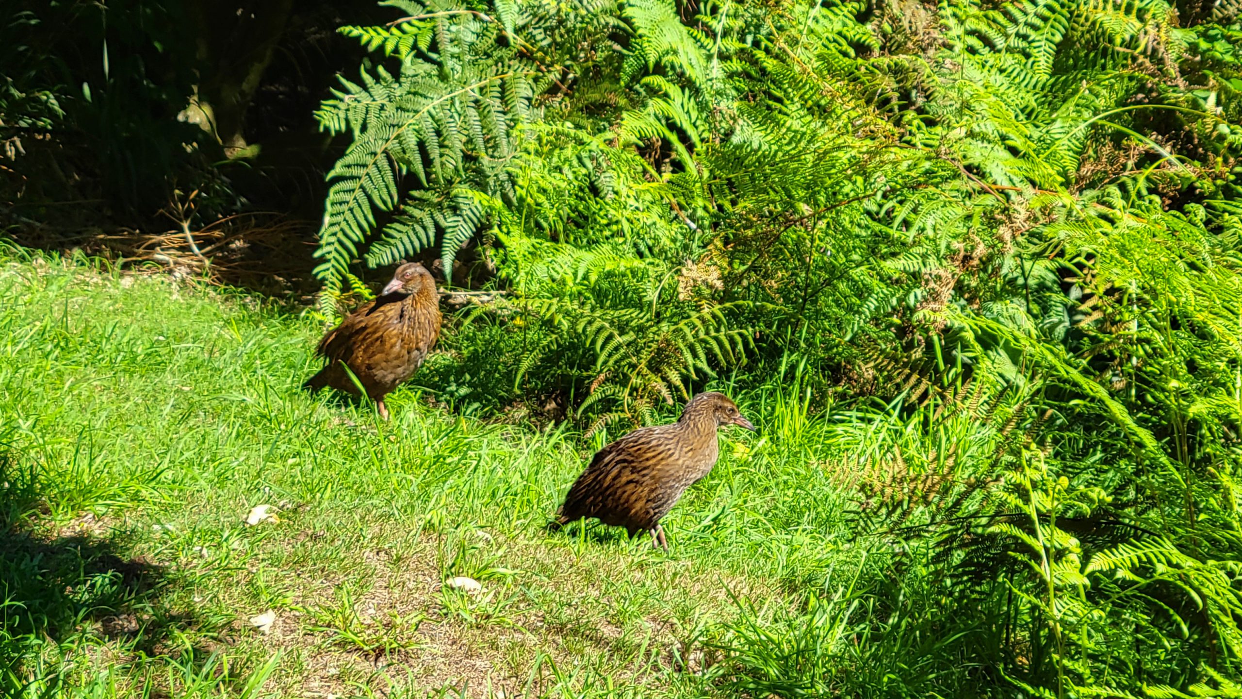
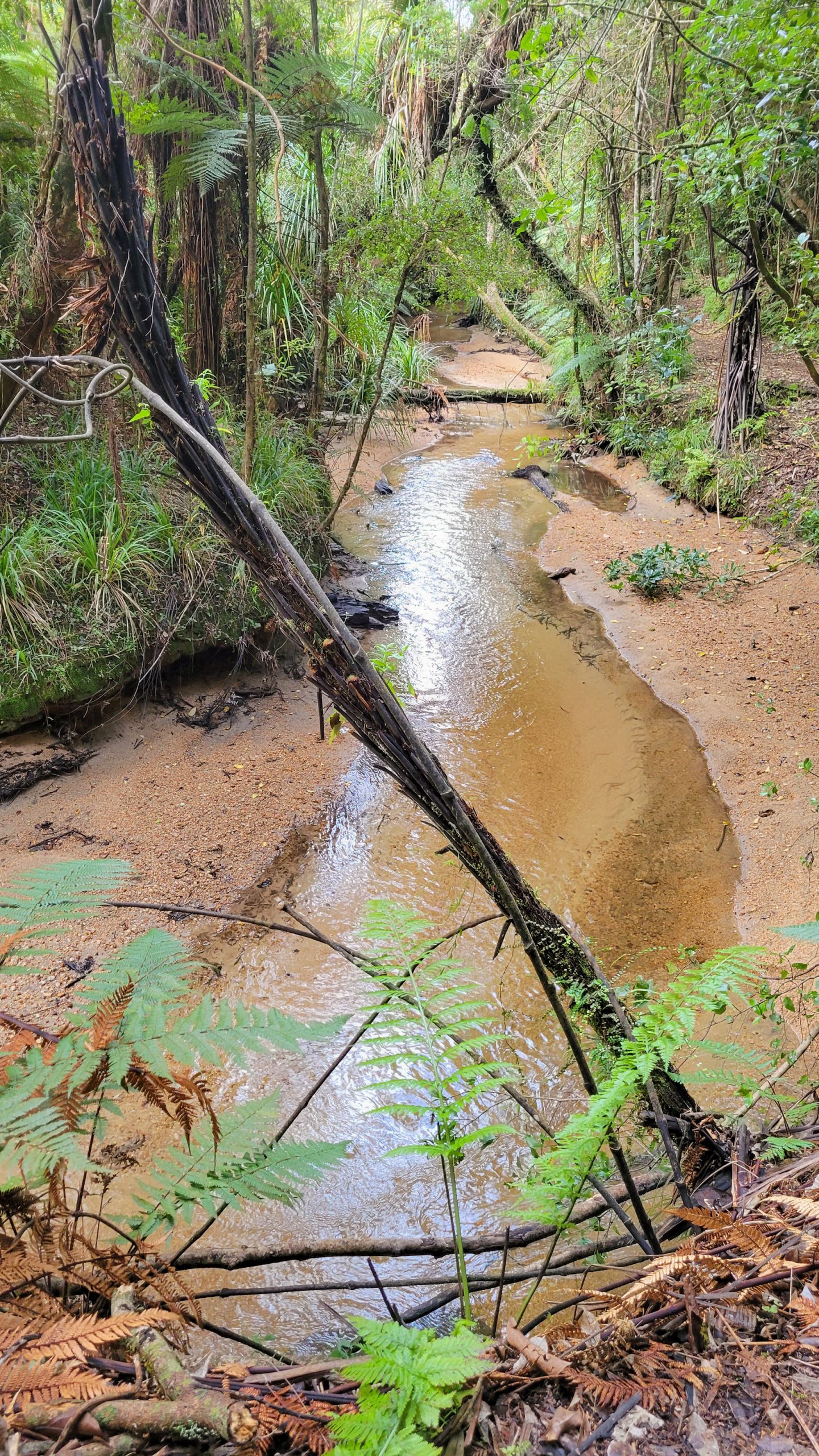
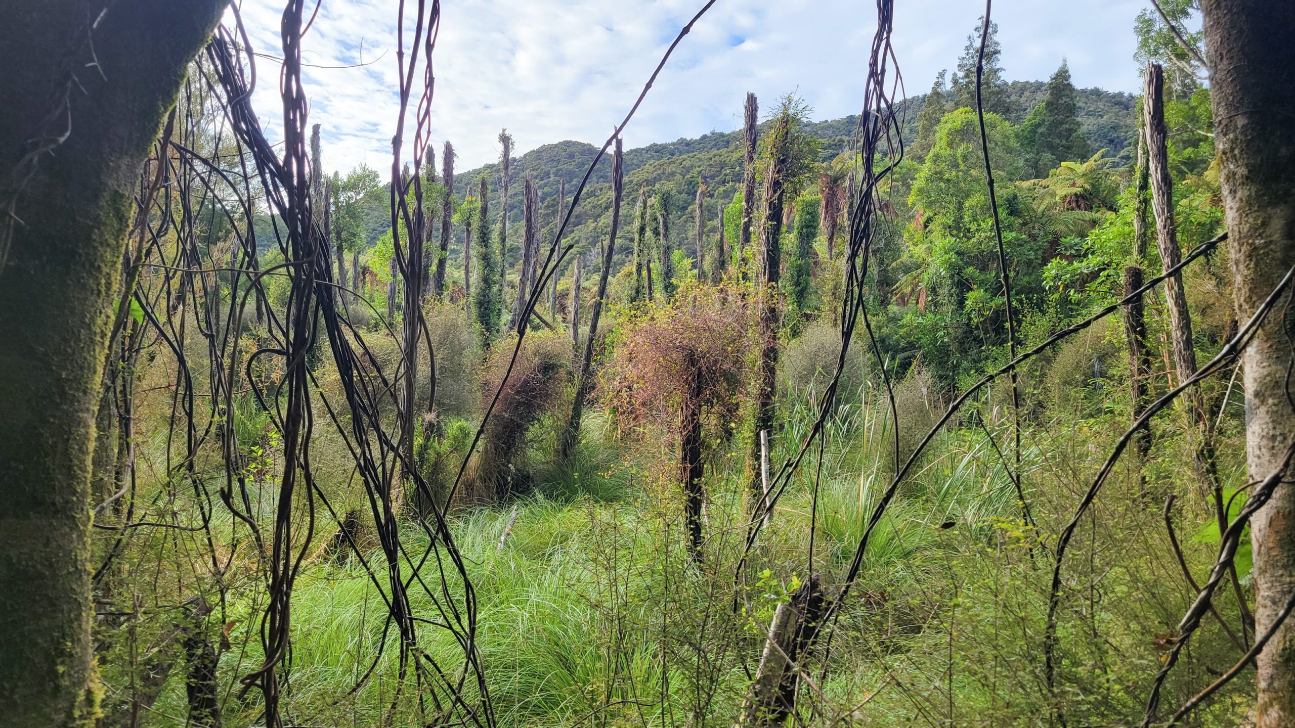
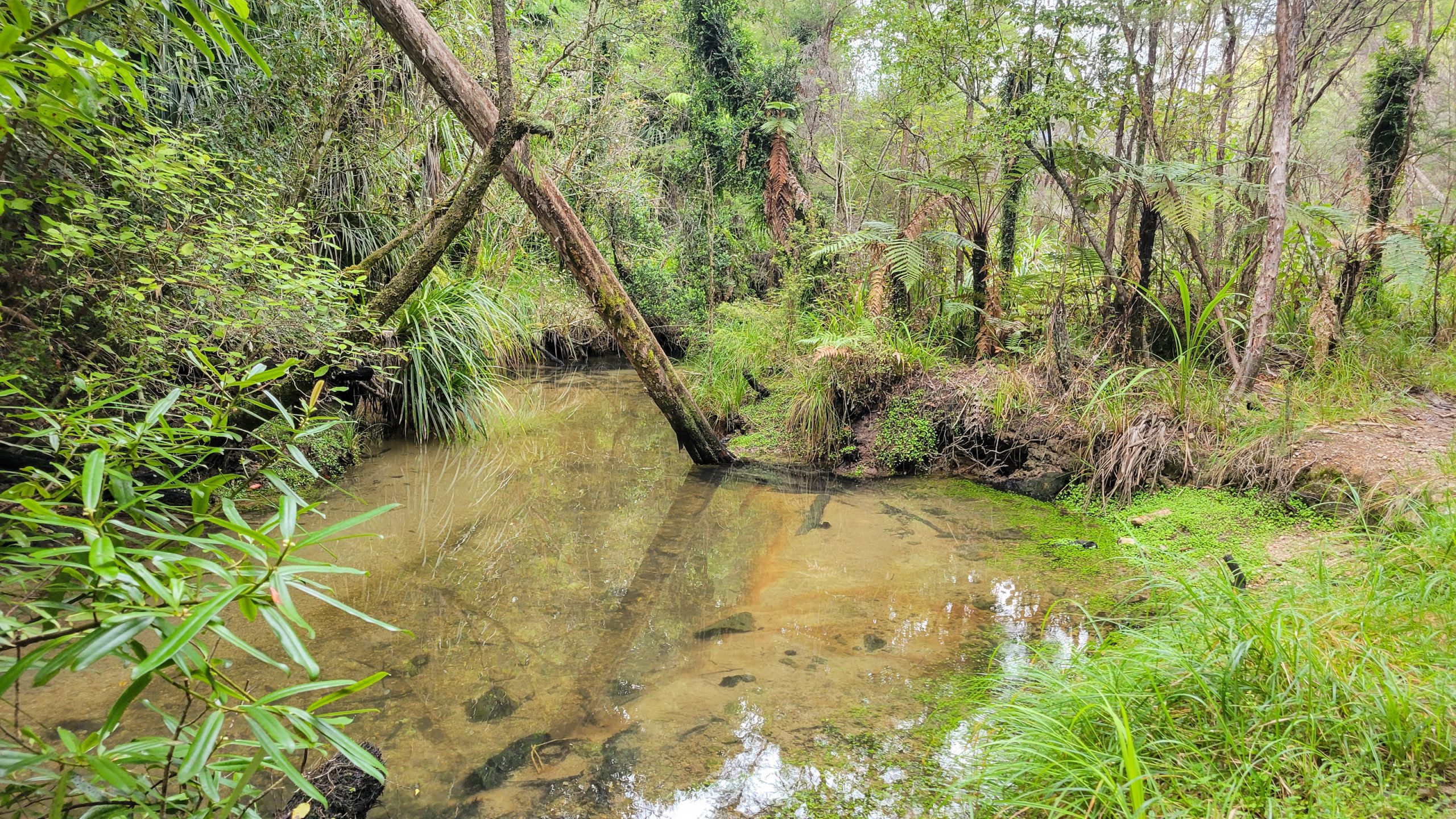
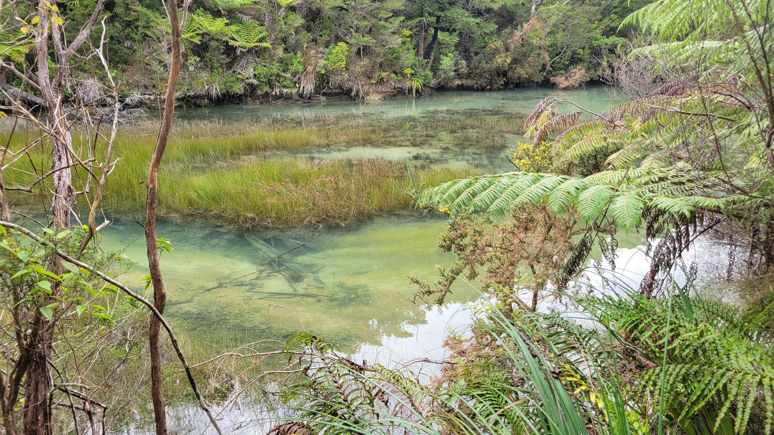
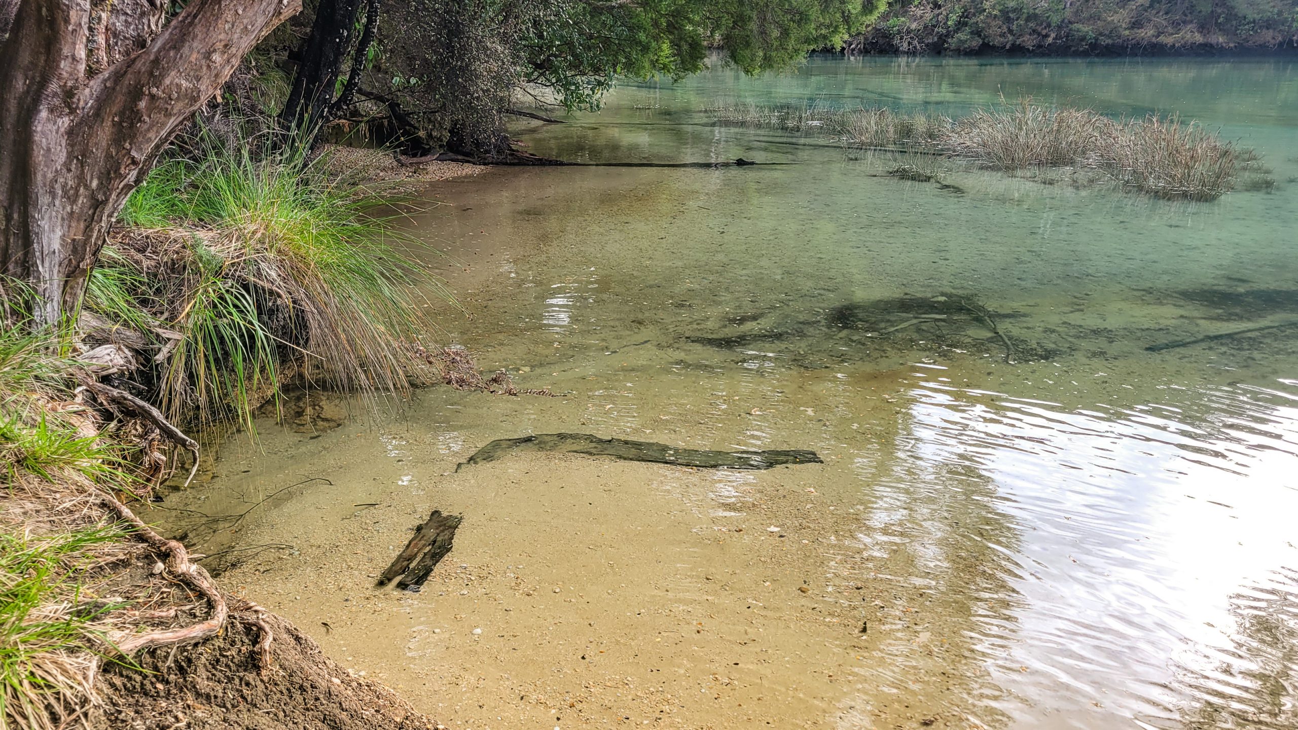
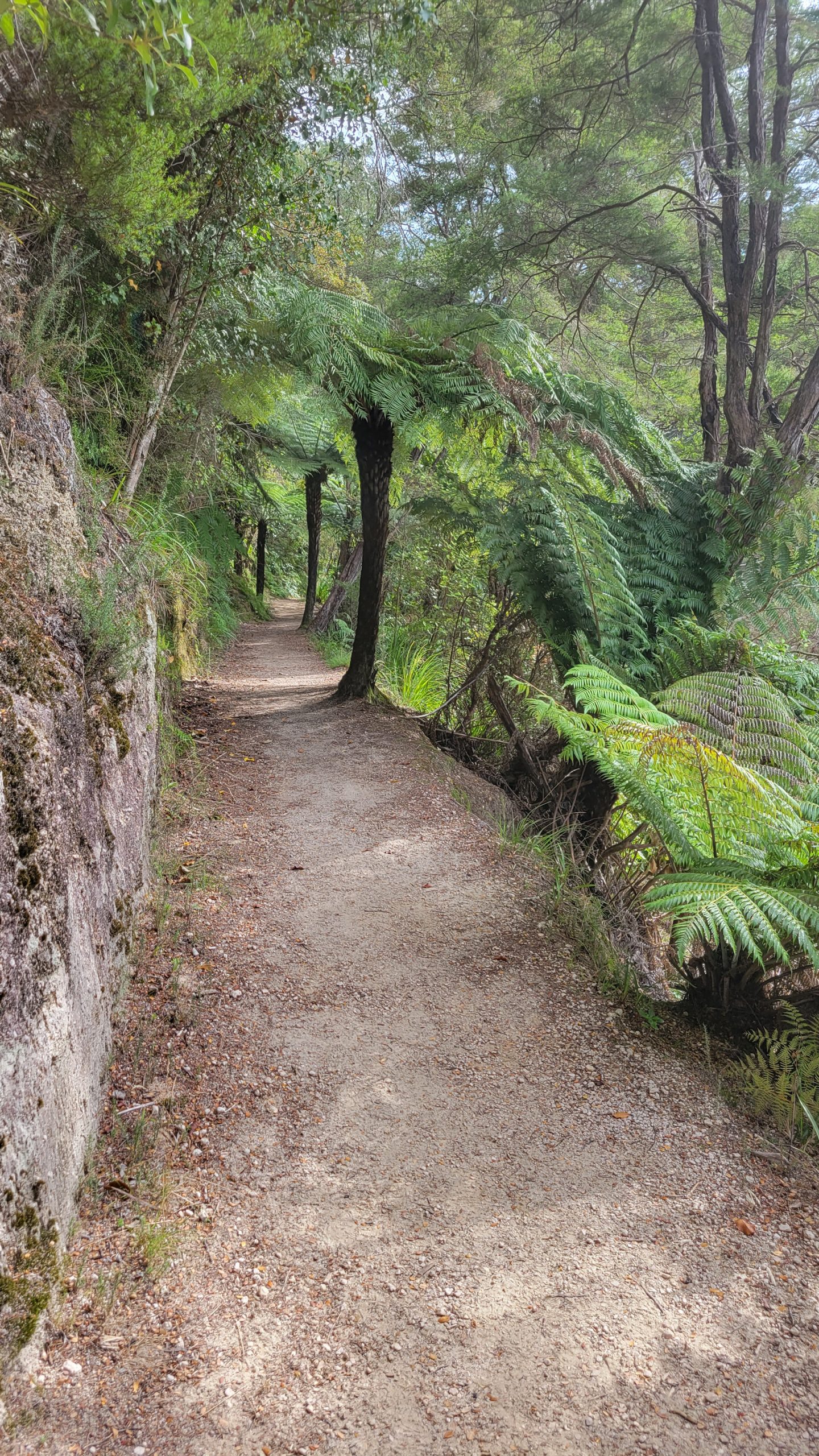
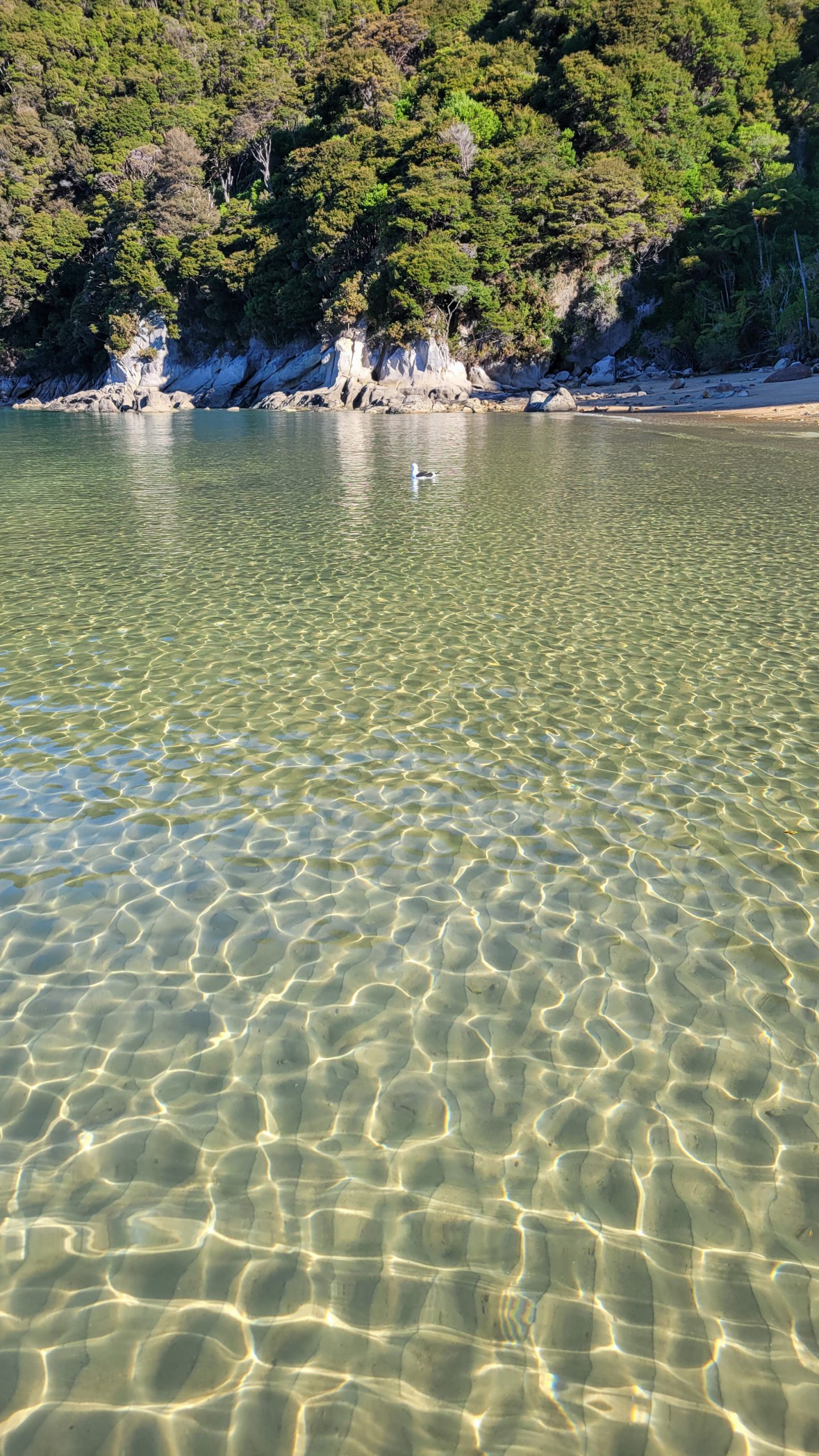
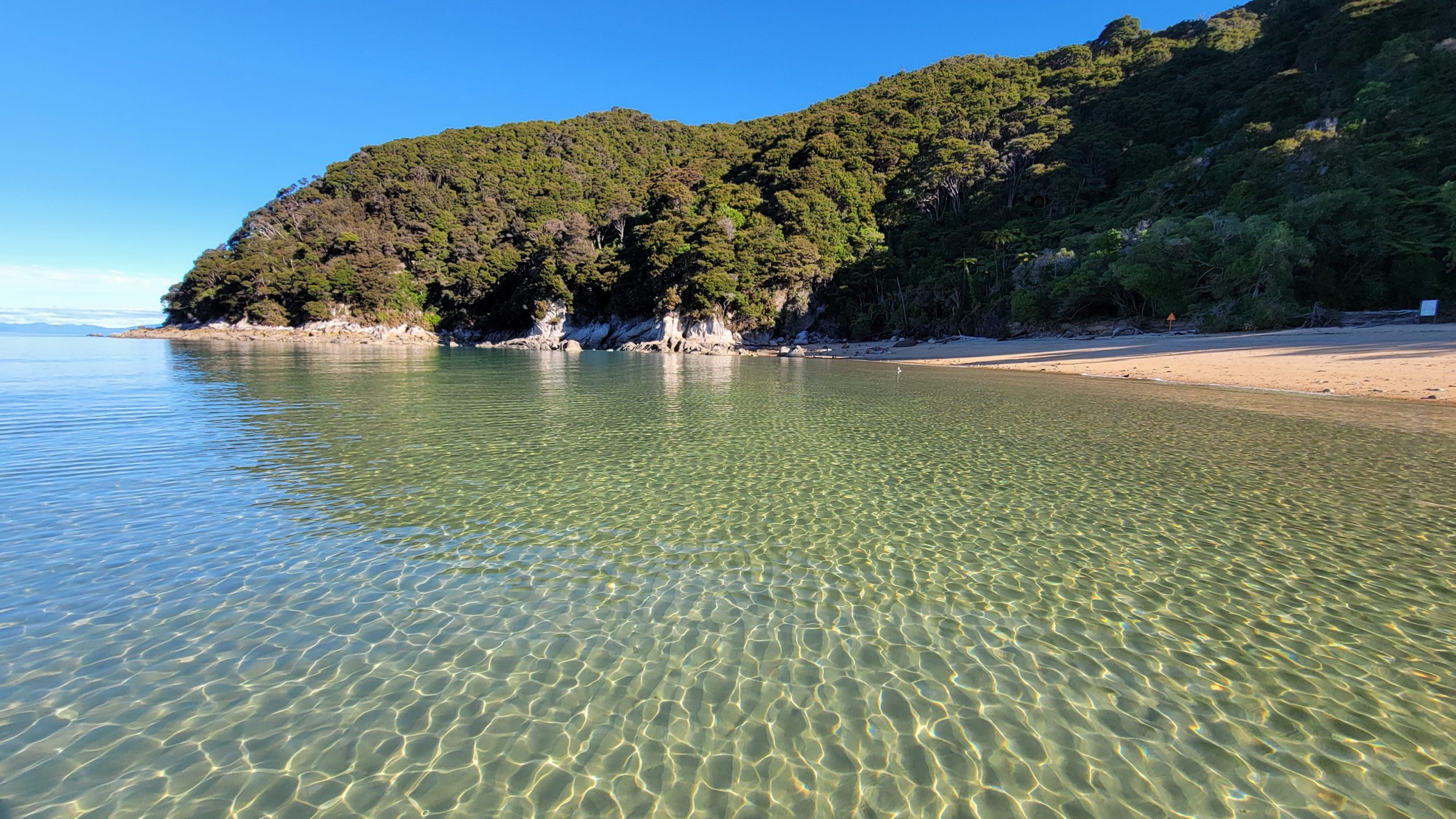
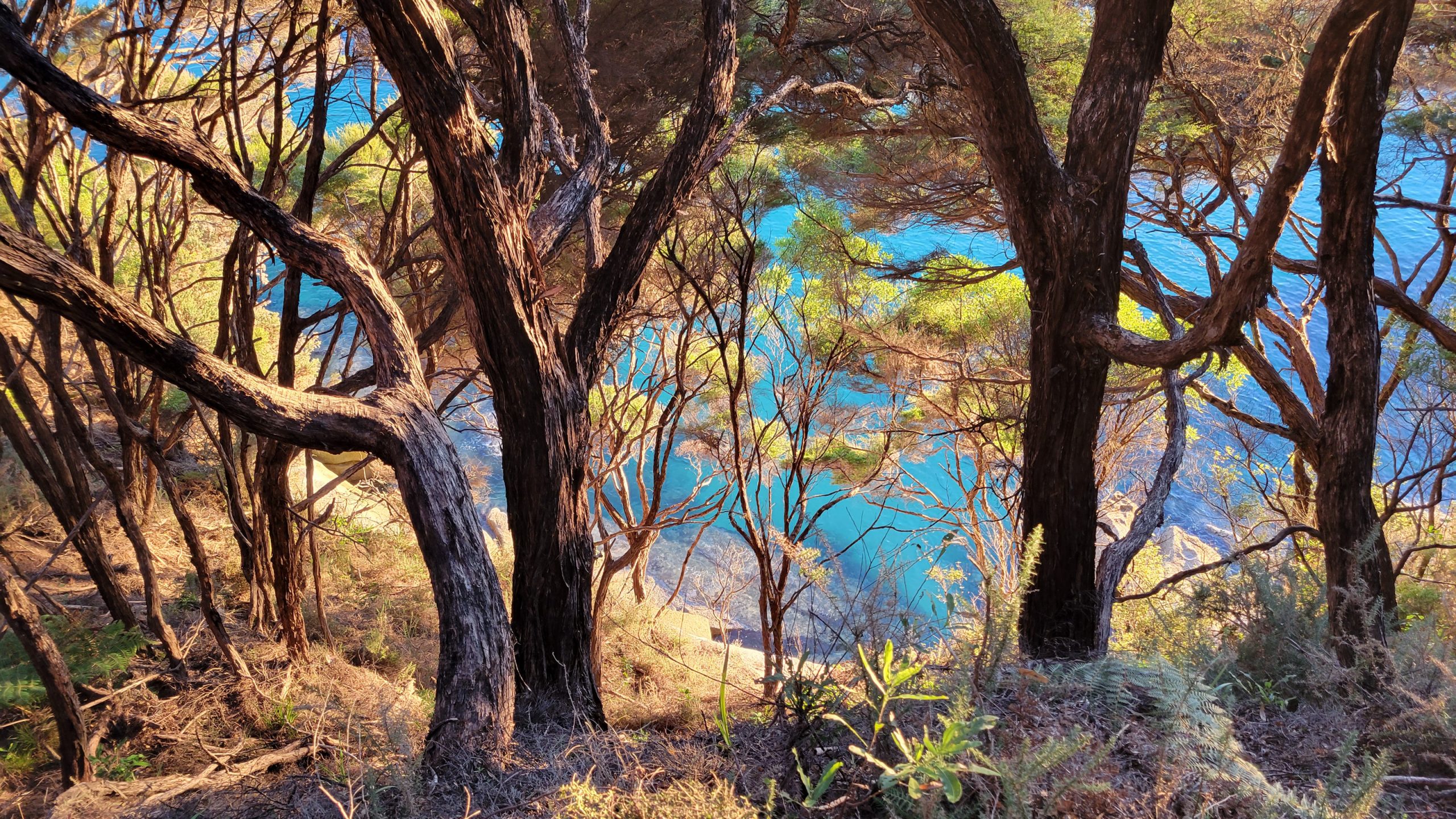
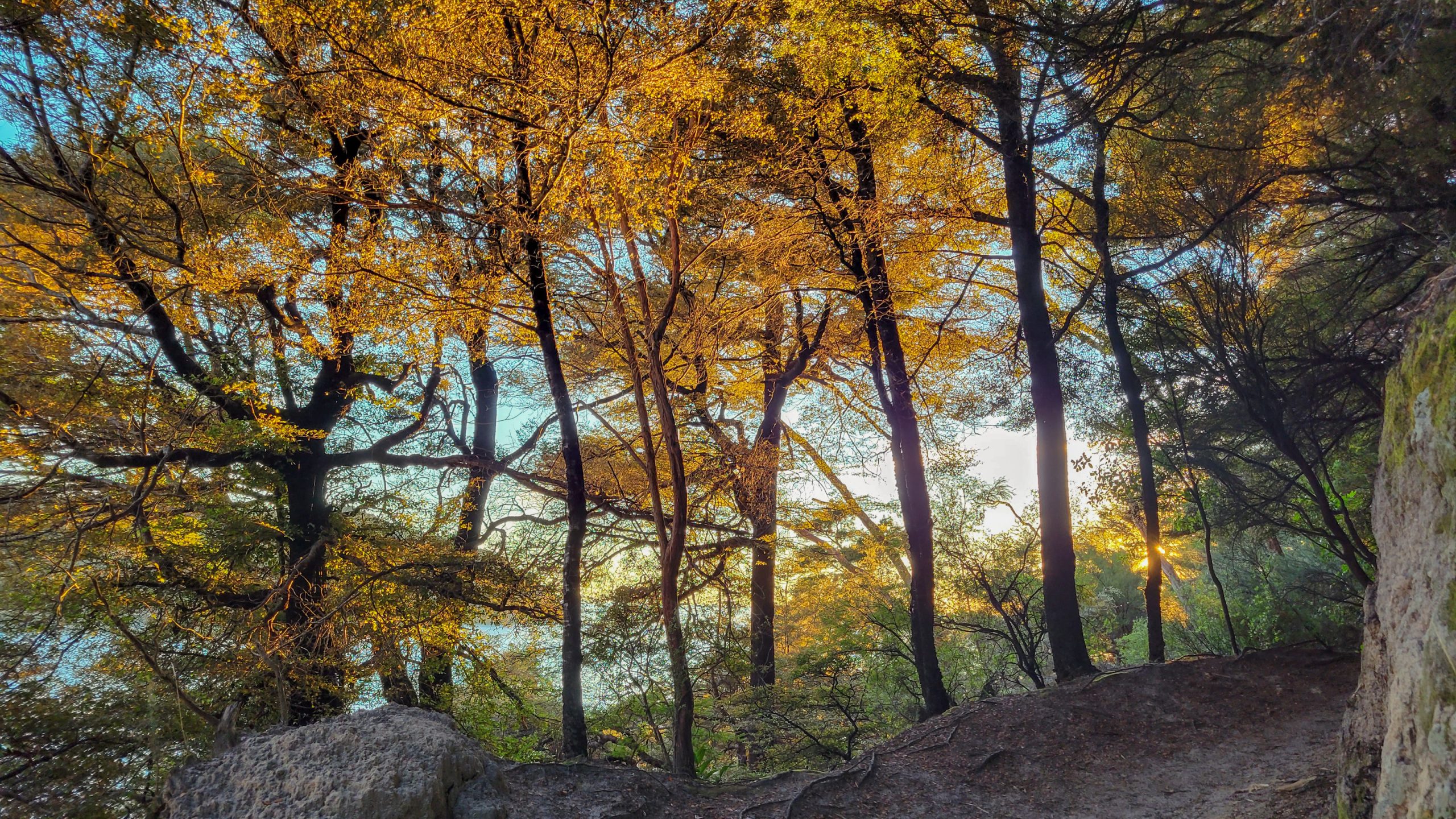
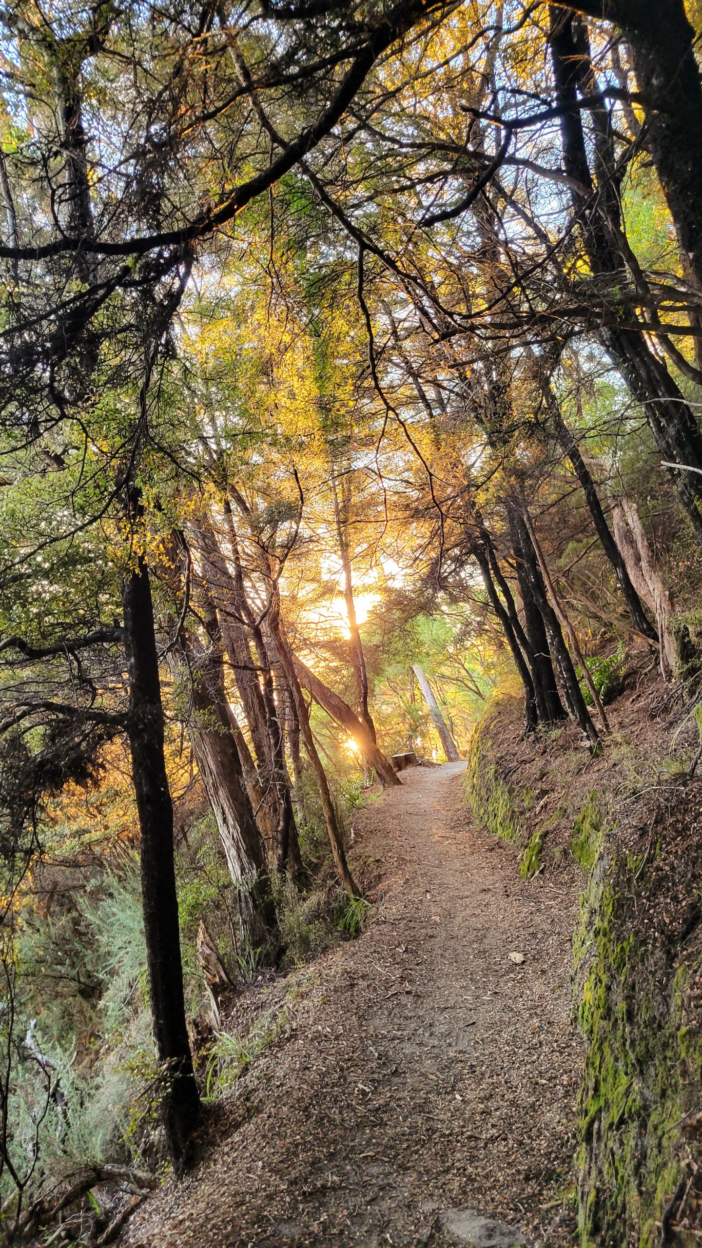
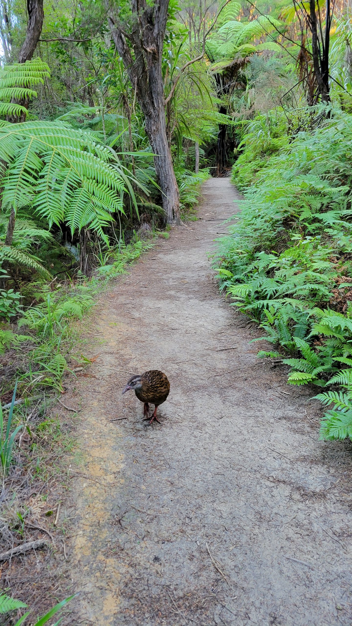
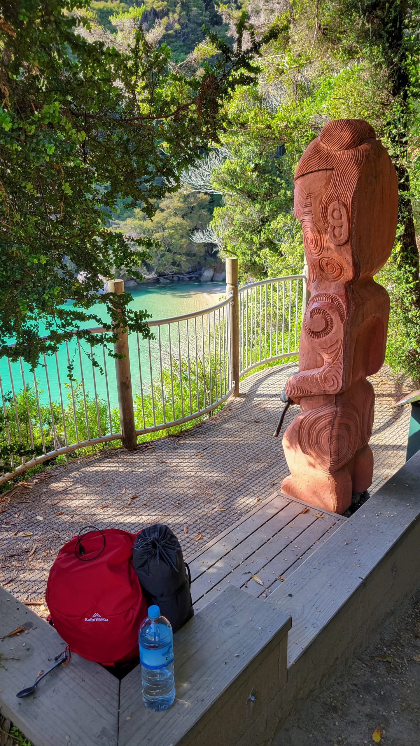
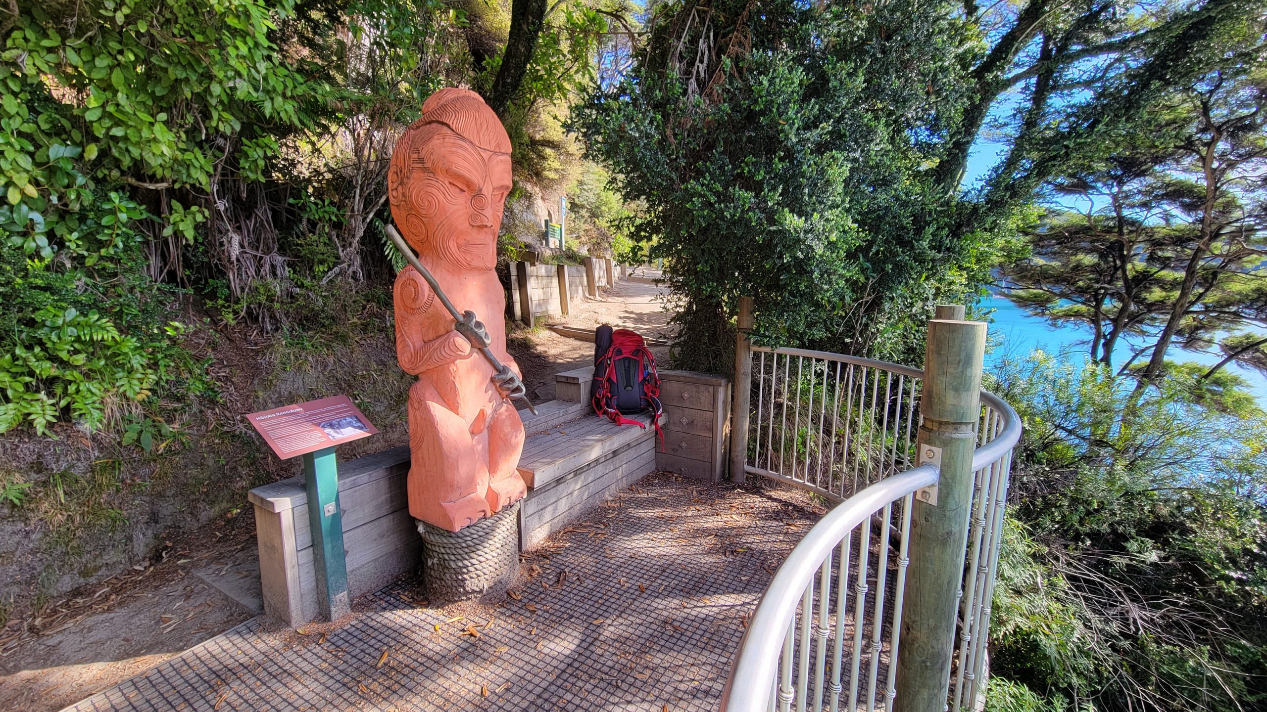
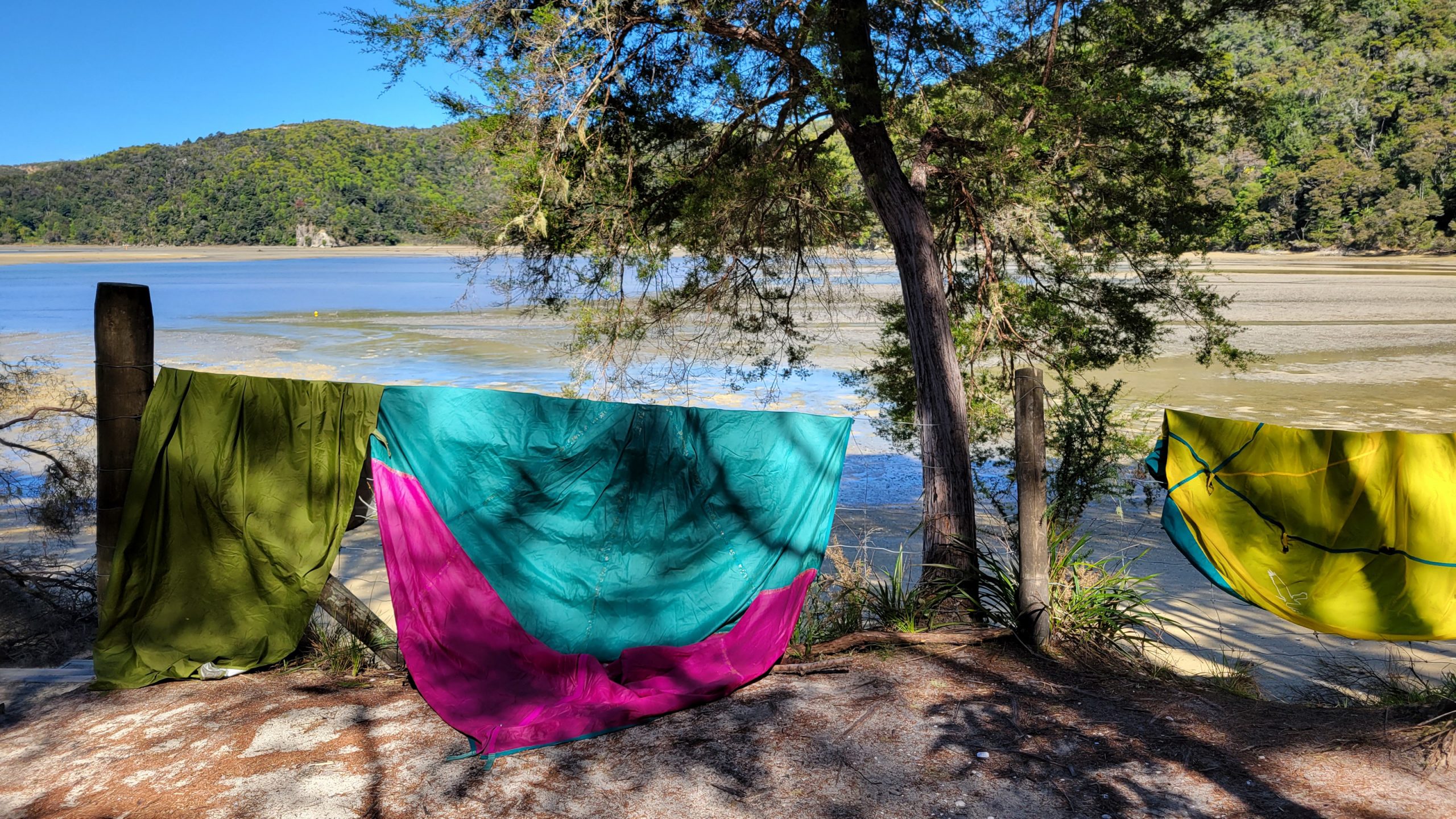
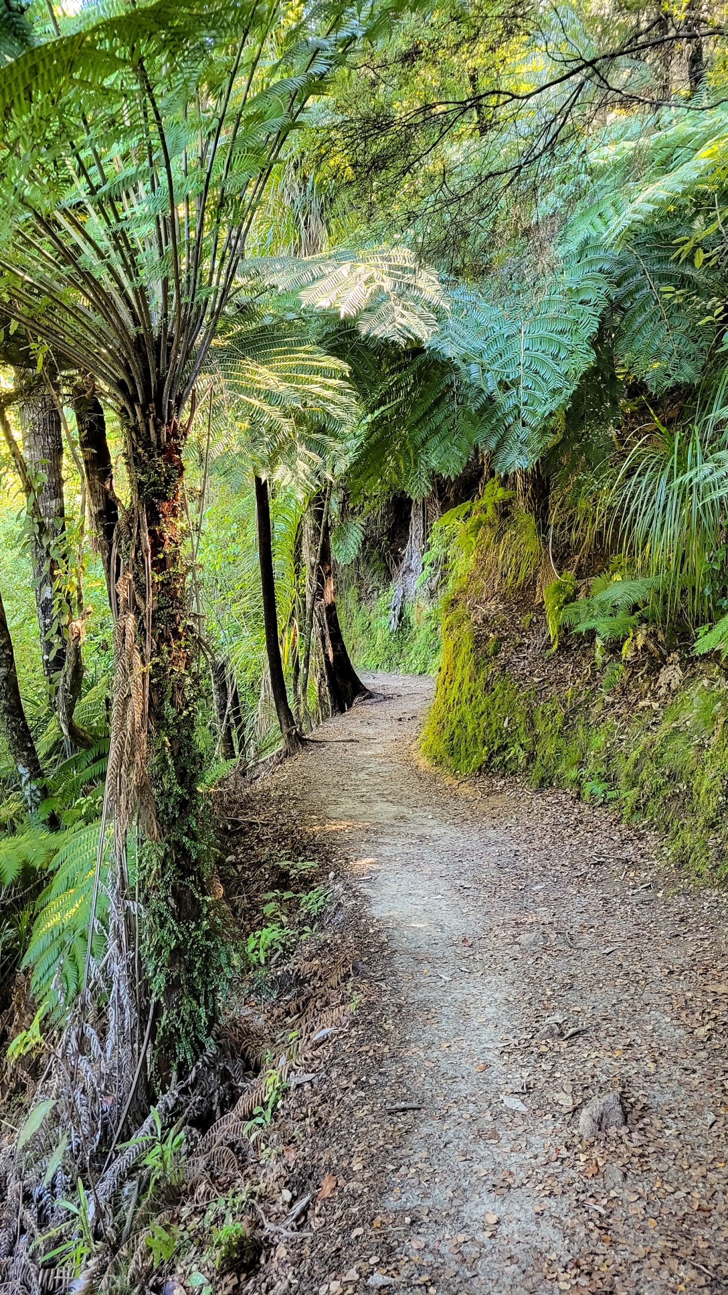
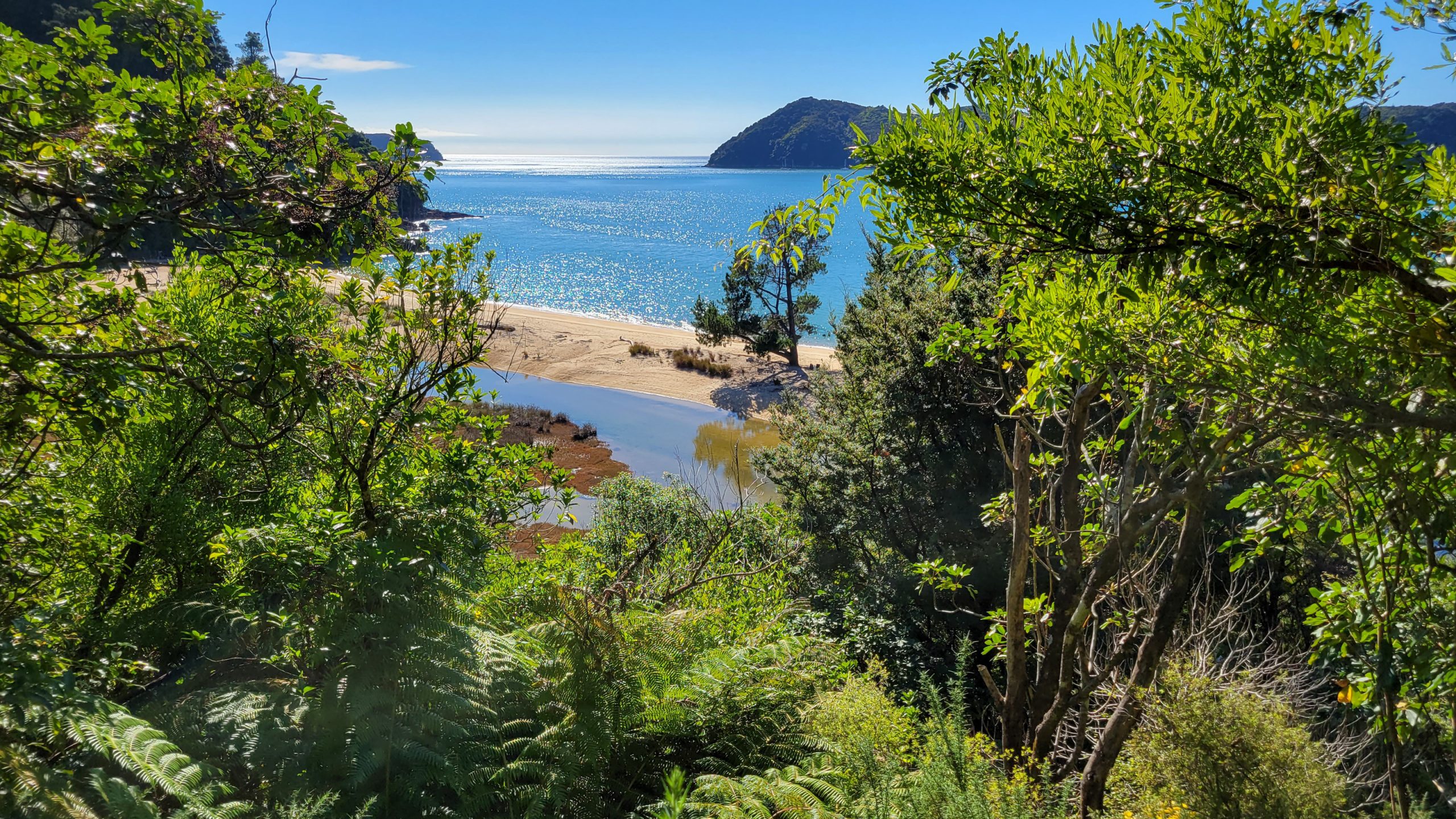
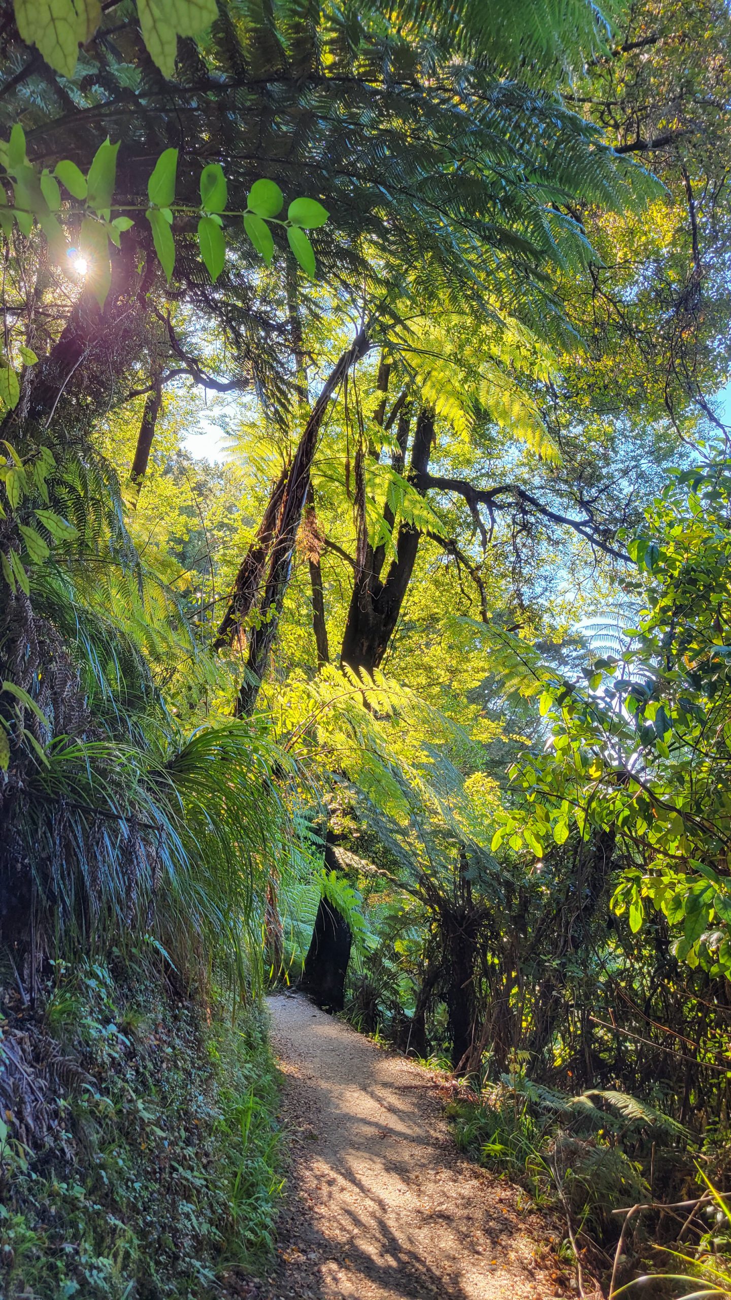
Good Morning, Muttons! Up up up! This log is already wide awake! Get your stuff together, pack your gear and start walking :DAgain very lucky, the weather is better than expected, no condensation in the tent sheets, everything goes directly into the bag, I have a quick brekkie and am off before the sun gets the better of me.Separation Point is already far away while I struggle to cross all the little streams that come out of the hils behind the beach without getting wet feet.Ahh, the climbing. The first day was a bit easier, but I’m in good spirits because it went well, one of me shoes had a part in the heel section broken which is now kinda scraping but it’s bearable so I soldier on.Hahah, excuse the poor colours, it always looks soooo much better on the phone screen!The best feeling getting up early and hiking along an empty road with no soul around, just the rising sun.Dense native forest, it was a good decision to start in Wainui, so many new things to see.Nearing Anapai, right over the hill is Totara the beautiful.In this section of the walk, when there’s a beach, the path follows down, you walk the sand and go up to the track again.So, following the water it is!Short stop in a shady place.And back up ;)Guess that’s the beauty of this walk, up down, around, pushed forward like a wave, ever flowing to the next stop.Red swampy stream near Totaranui.Tōtaranui Education Centre – Ngarata Homestead is a beautiful old kauri villa containing bedrooms sufficient to sleep 40. A detached kitchen block is out the back, and out the front is a rolling lawn that catches the afternoon sun.Yes, office is a good idea, check tide tables again and maybe find a sheltered bench to cook something up.The broad entry to Totaranui camp.Beautiful, massive trees.I get the best spot, the seating area behind the flaxes, where you can spot the incoming vessels, not even here are lots of tourists.Tadaa. The purple bag is where the food lives, and it gets emptier every day. Unfortunately there’s no trash bins anywhere and I will have to carry out all the rubbish, but yeah, it’s not that much.Before the boiling water hit it.Just realised that I will have to wait at Pound Gully until the water receeds enough.A boat, stalky kanuka and the Tasman Sea.Lunch at the beach was great, now it’s time to move on. Oh wait, let’s rest a while.This would be a good swimming hole, if I can remember that for next time.The camp vanishes in the distance.This is considerably harder than the first day! Man I’m glad nobody’s around so they can’t hear me swearing.What goes up has to come back down again. Goat bay is definitely something to go down to! One with the clearest waters around.The river seeps into the beach mid way.Curious enough to follow it up to where the water falls down over a ledge. Cool little waterfall feature!The heavy pink granite sand is not easily stirred up by the waves, thus it looks super clean and clear.Whoa, the beach exit was quite a climb! With the big backbag and already heavy feet not easy to handle. Yes, the feet. Today they hurt, especially the one with the broken heel plate, it has come through the fabric and now scrapes at my heel, this might be a problem in the coming days.Just a lone boat aiming at where I just came from. Reminds me to carry on, still need to make camp.And here we are, the beach is a bit rough with a stream to jump through, but later I found out I could have had a board walk on the other side, walked in the back door.From time to time I wonder if it would have paid to take the camera, but it wasn’t about making photos, I needed the time off everything, getting more grounded by following the rhythm of my footsteps, feeling the warm sand and my sore muscles.Preparing camp. This site is well hidden from the loud surf, circled by native forest and a bunch of nosy weka.These guys are totally pesky. I never feed the wildlife, but as soon as you turn your back on them, they sneak up on your stuff and help themselves!Everything is safe locked in my tent while I go to the beach and soak my feet.Entrance to the camp.That was a long day, I spend the rest with the wekas, training my non violent communication skills. Wanted to do more sudoku, but lost the pen.Another impressive white glow sunset.Footsteps at the water’s edge.Granite.
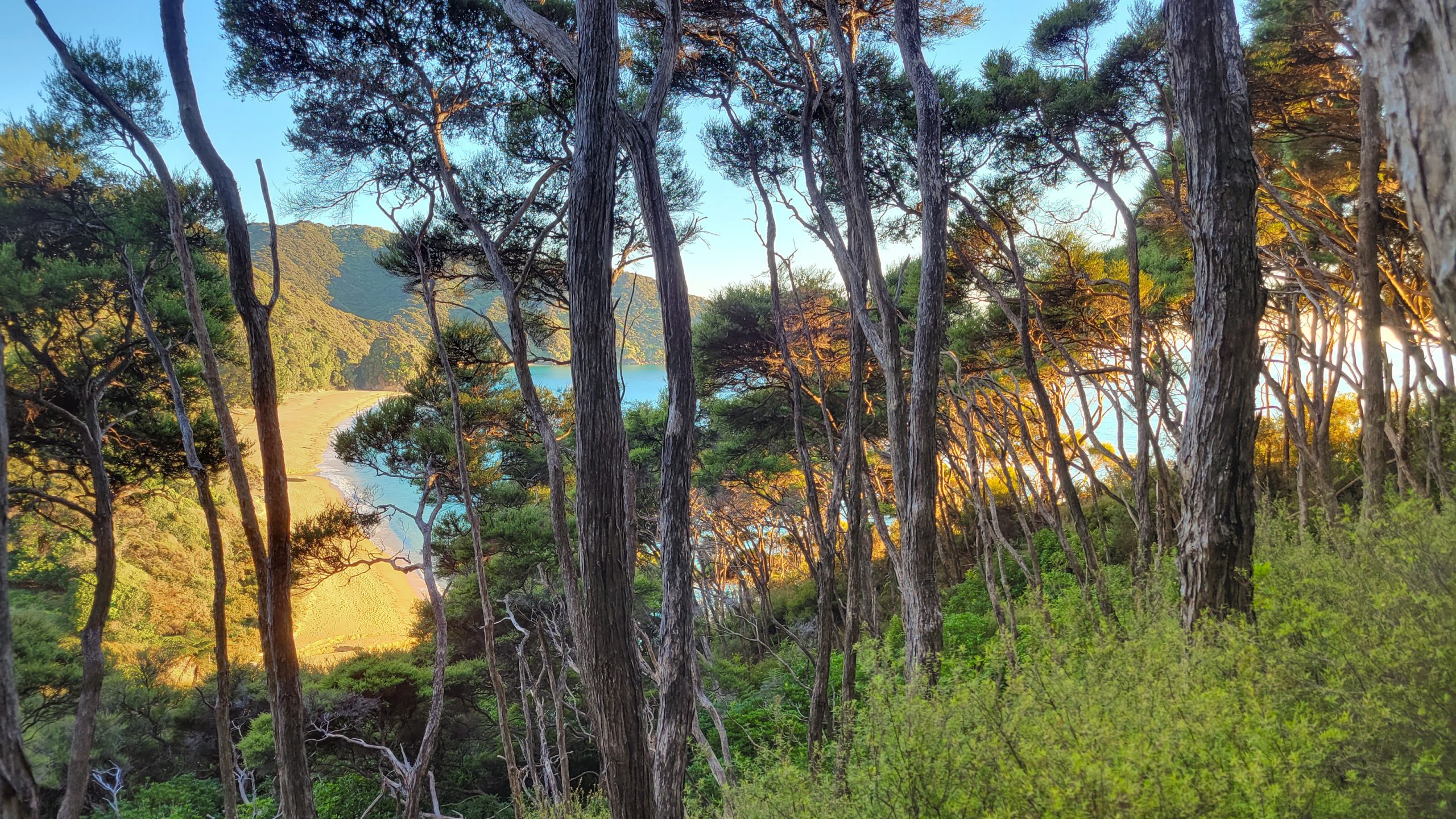
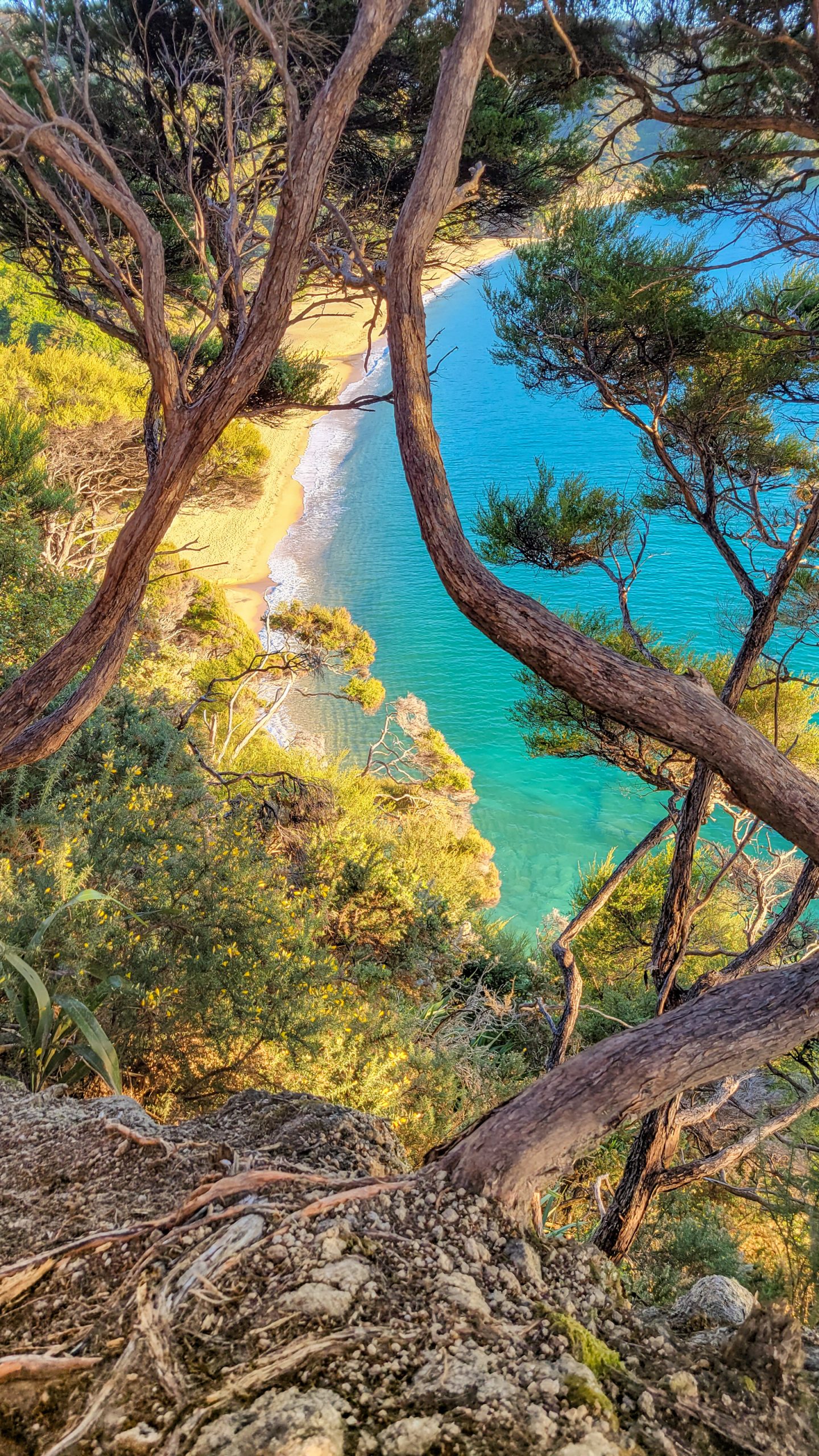
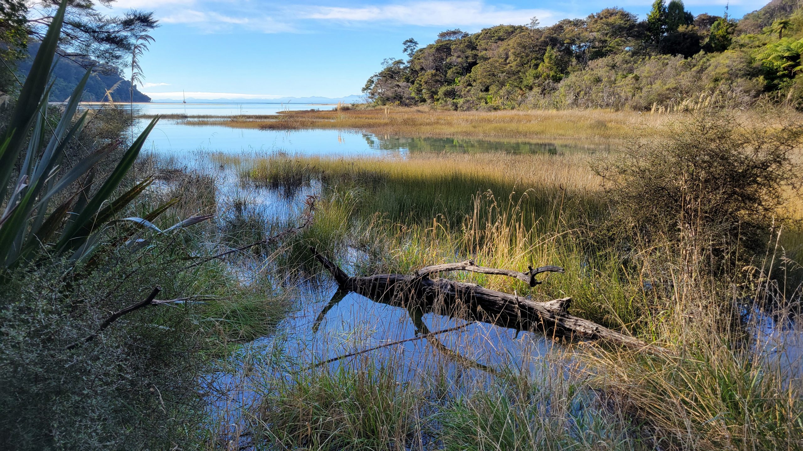
Day 3: Waiharakeke Bay – Onetahuti Bay
Well, Waiharakeke, quiet, but also weka. And quite wetland-ish around, so in summer maybe sandfly and mosquito alarm.
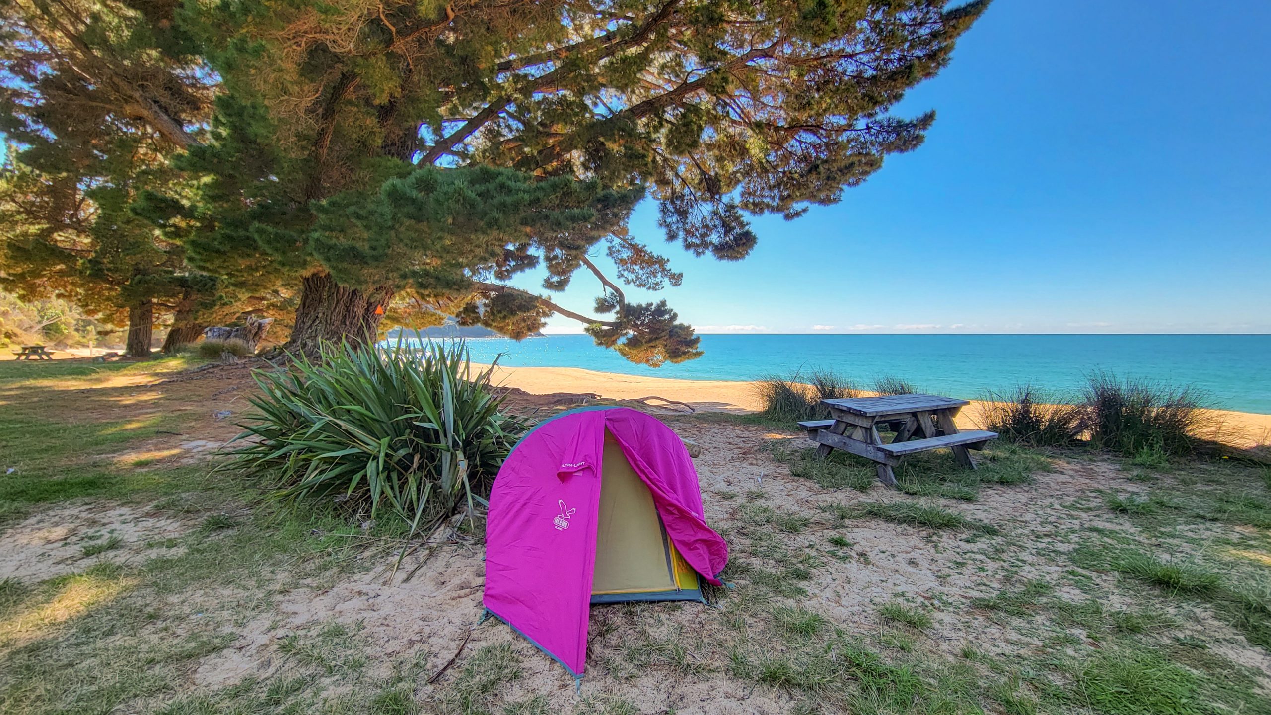
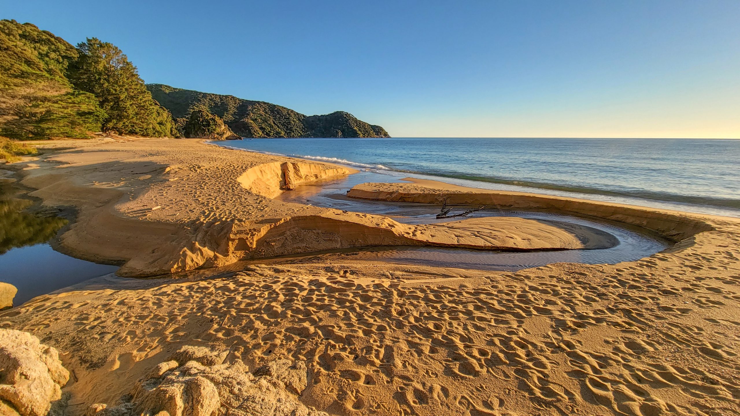
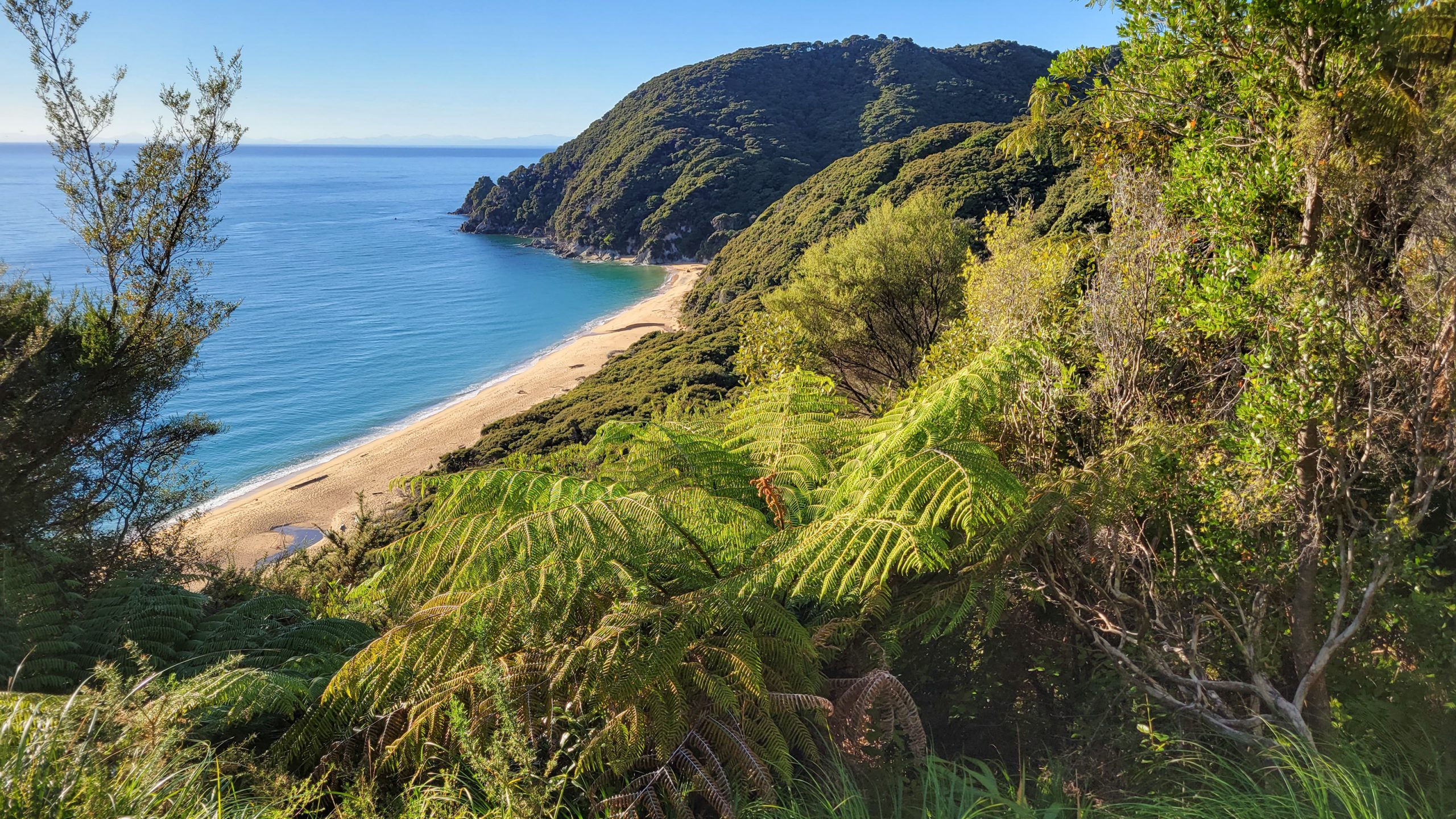
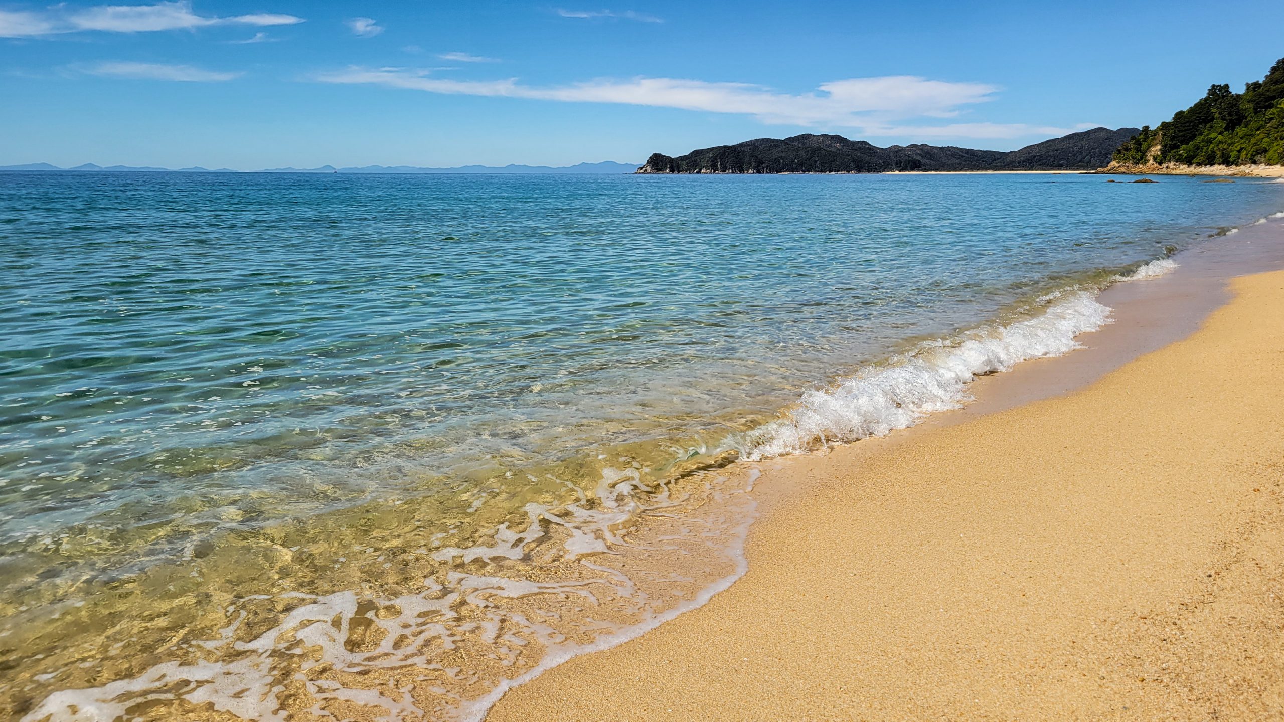
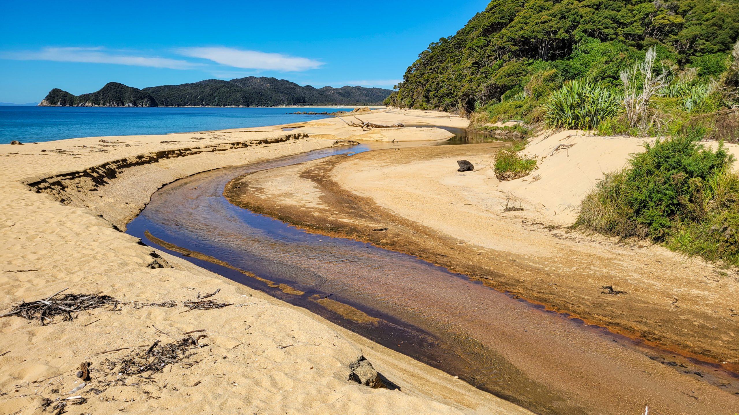
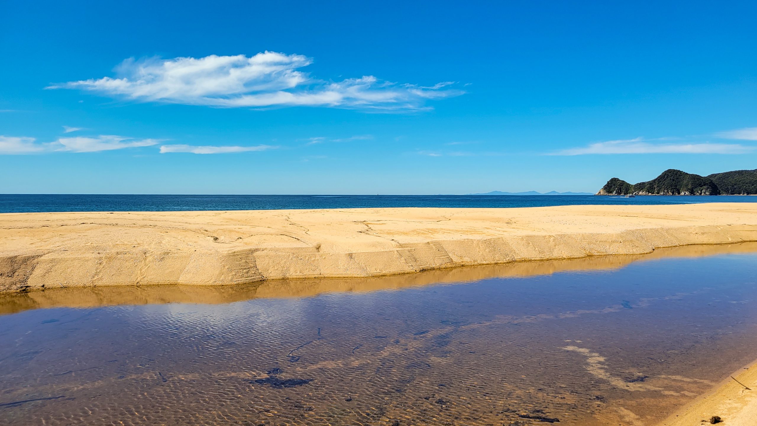
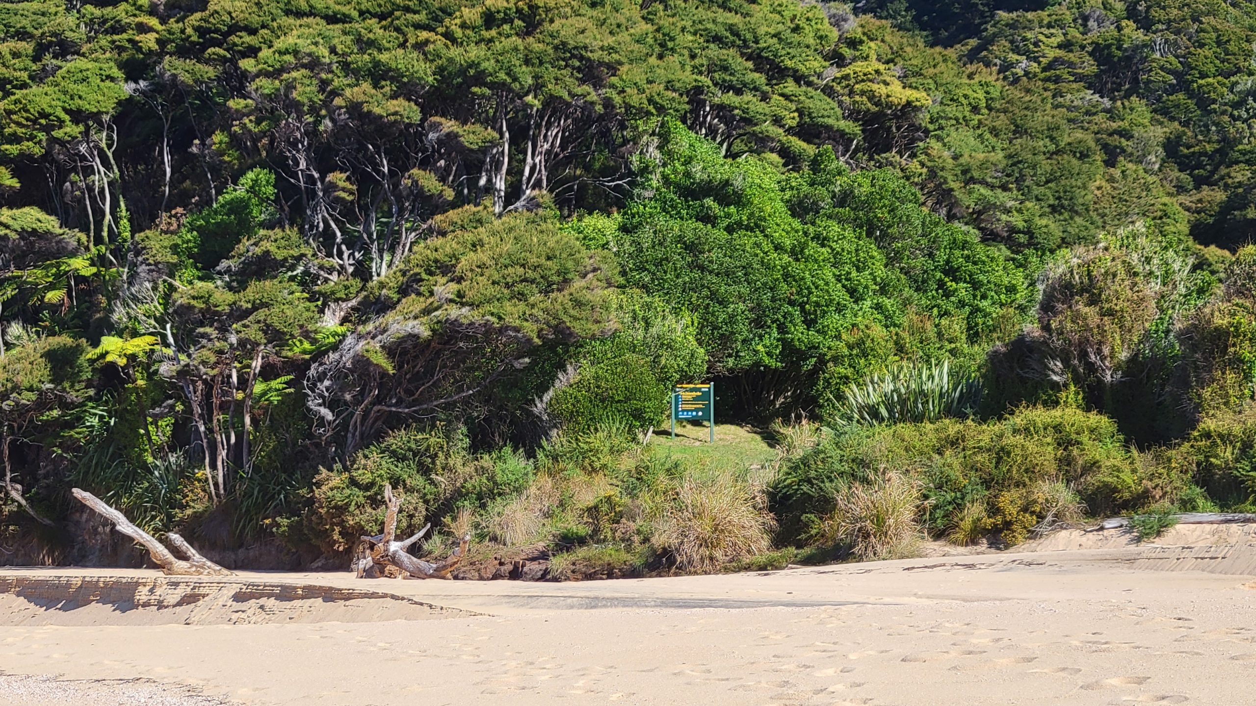
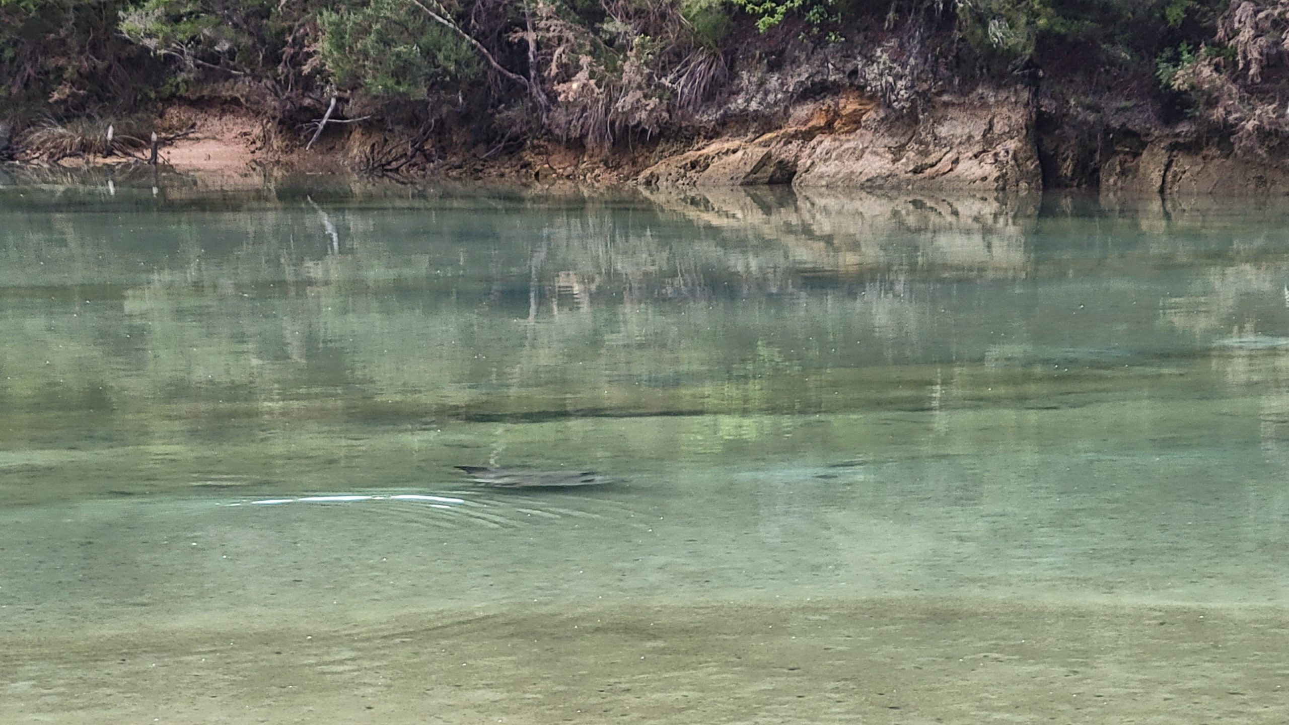
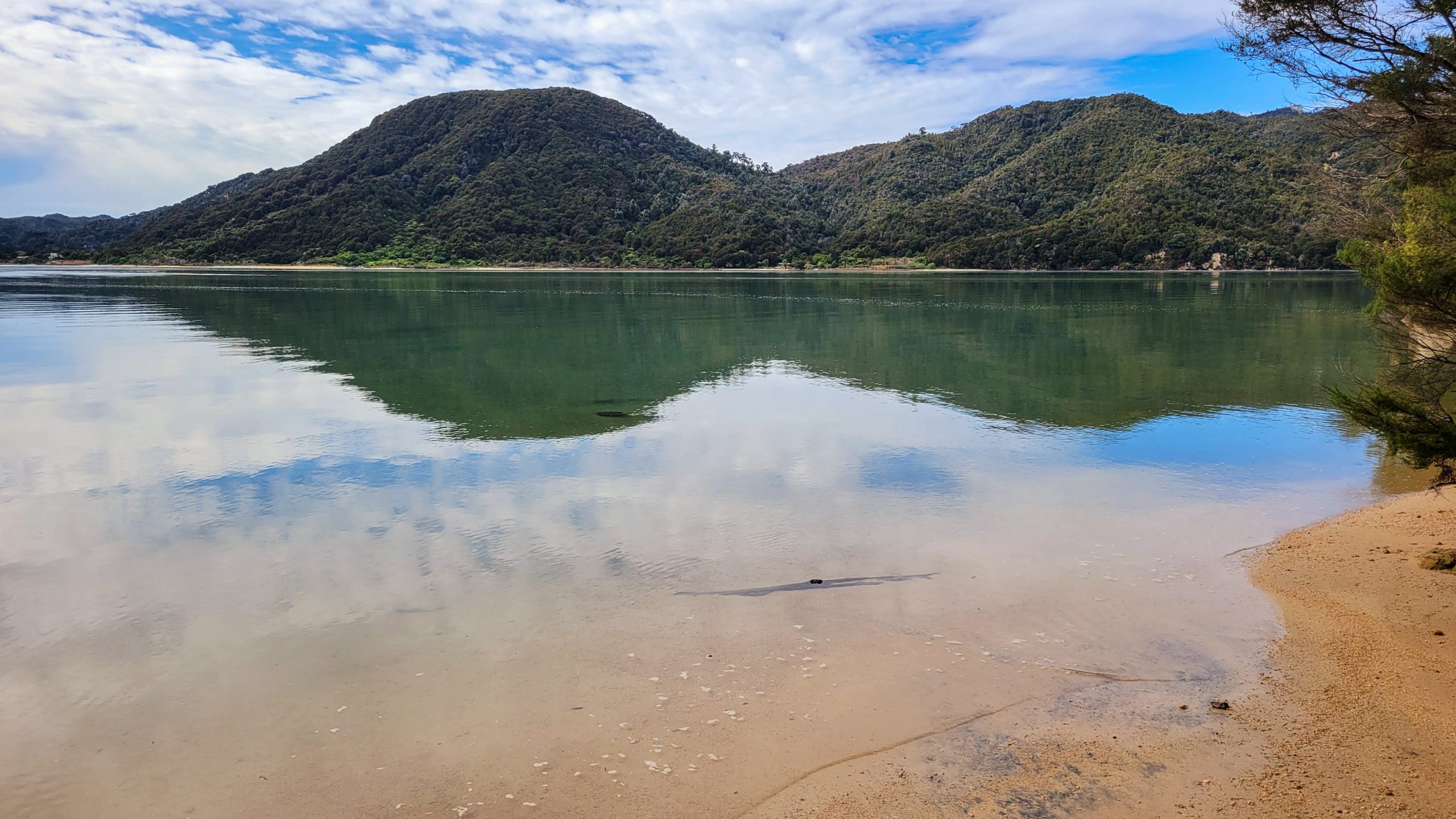
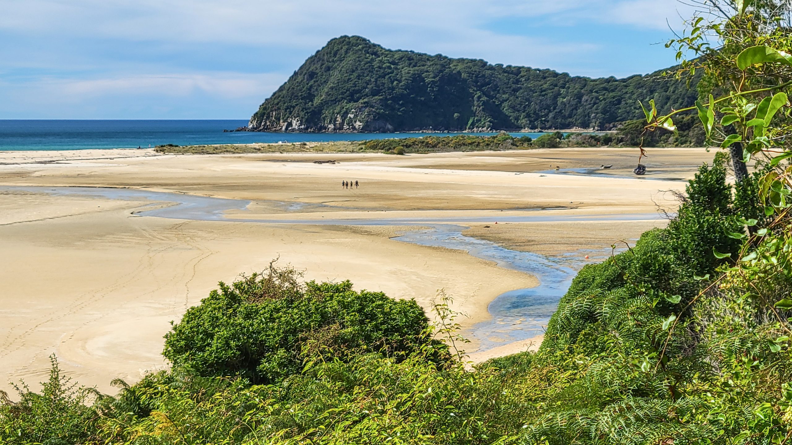
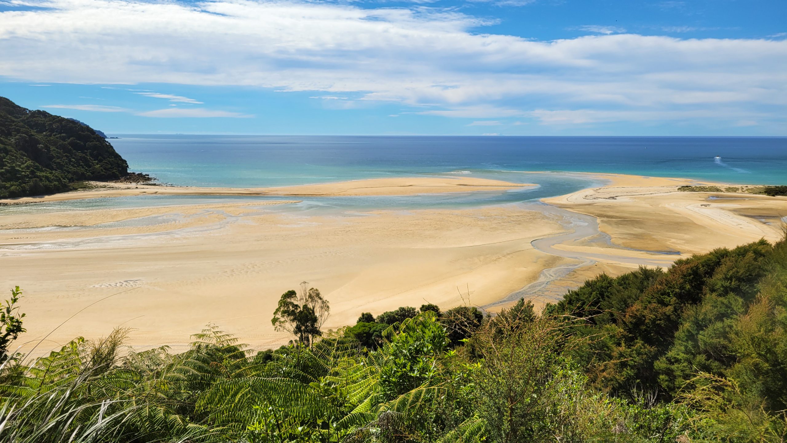
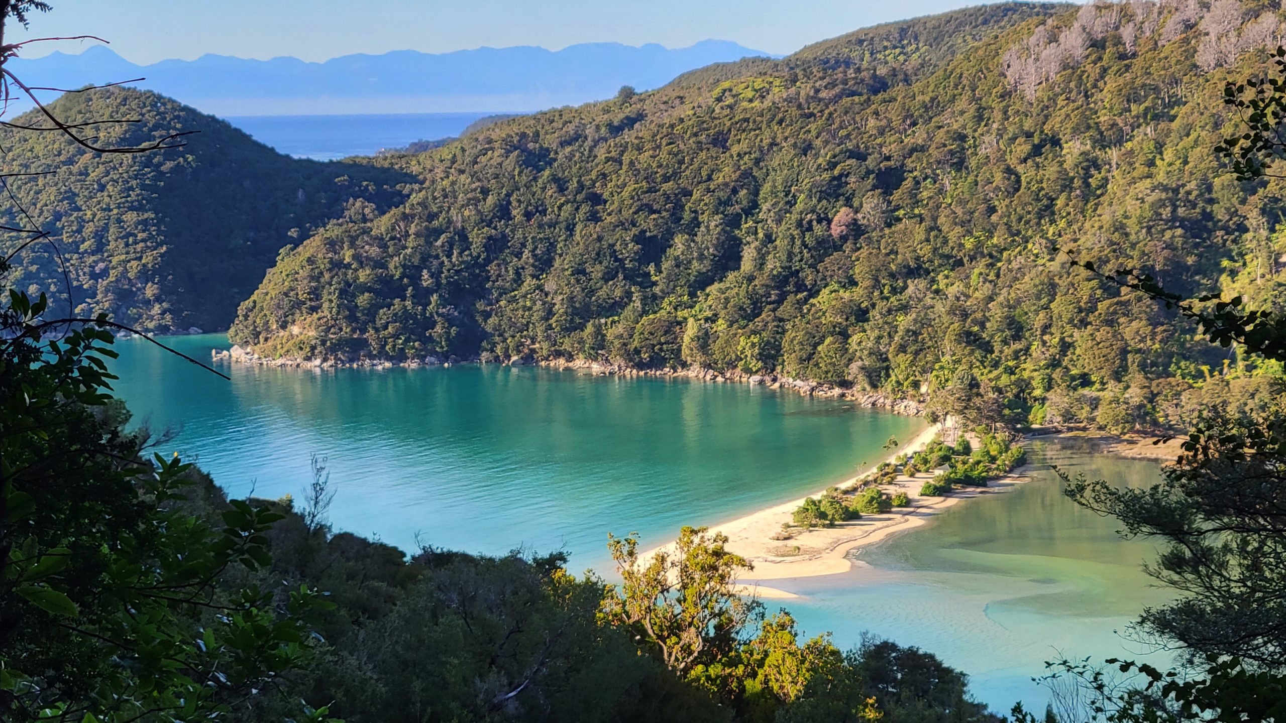
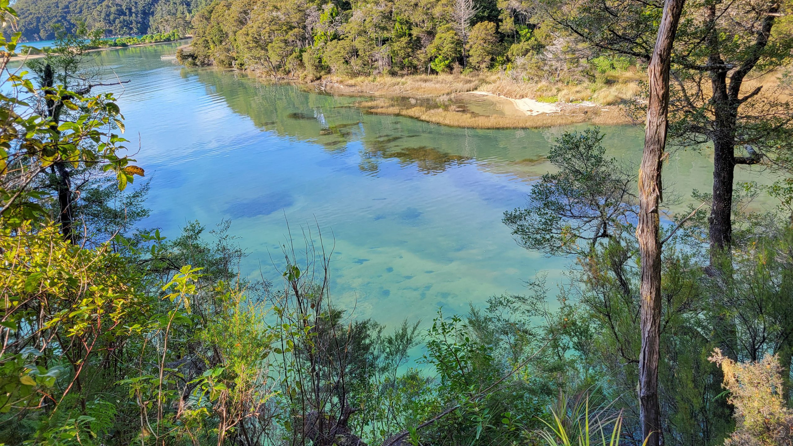
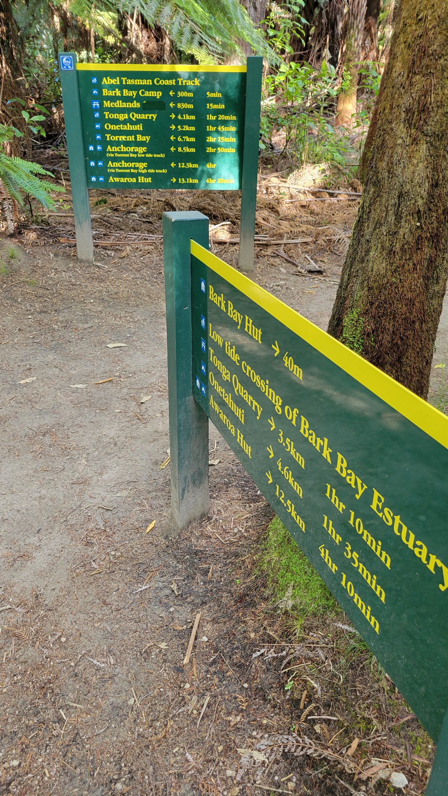
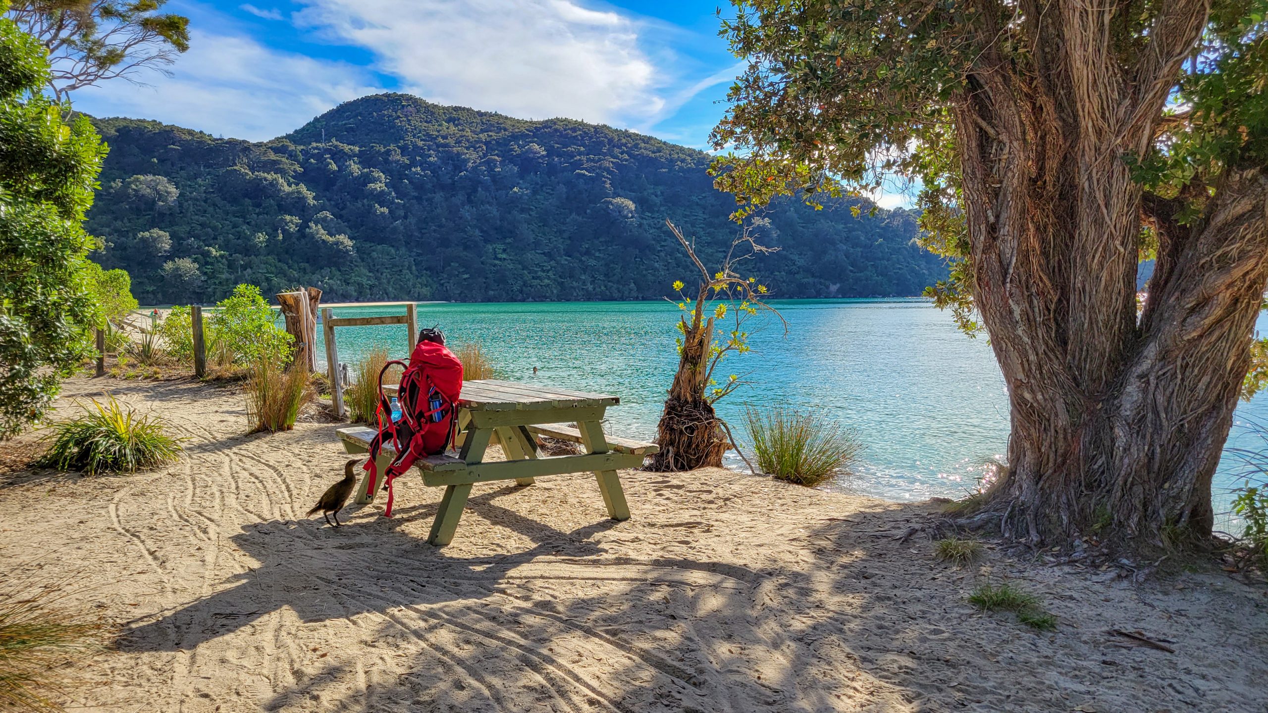
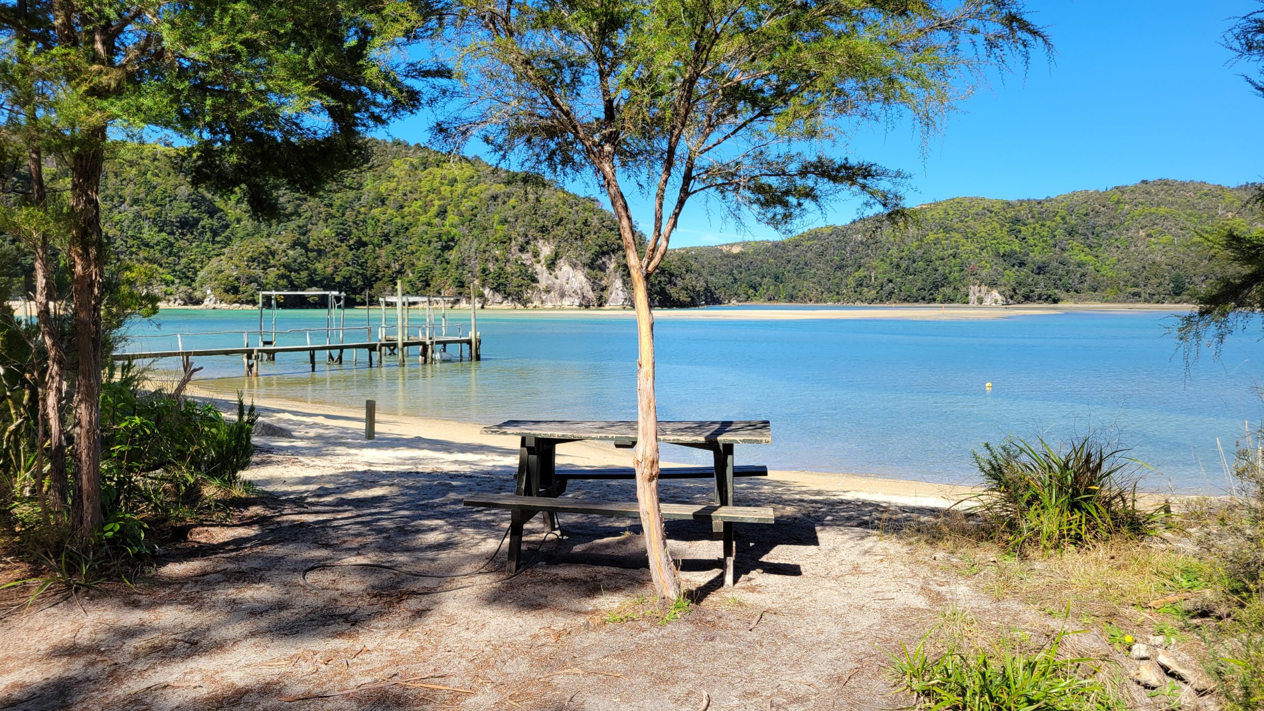
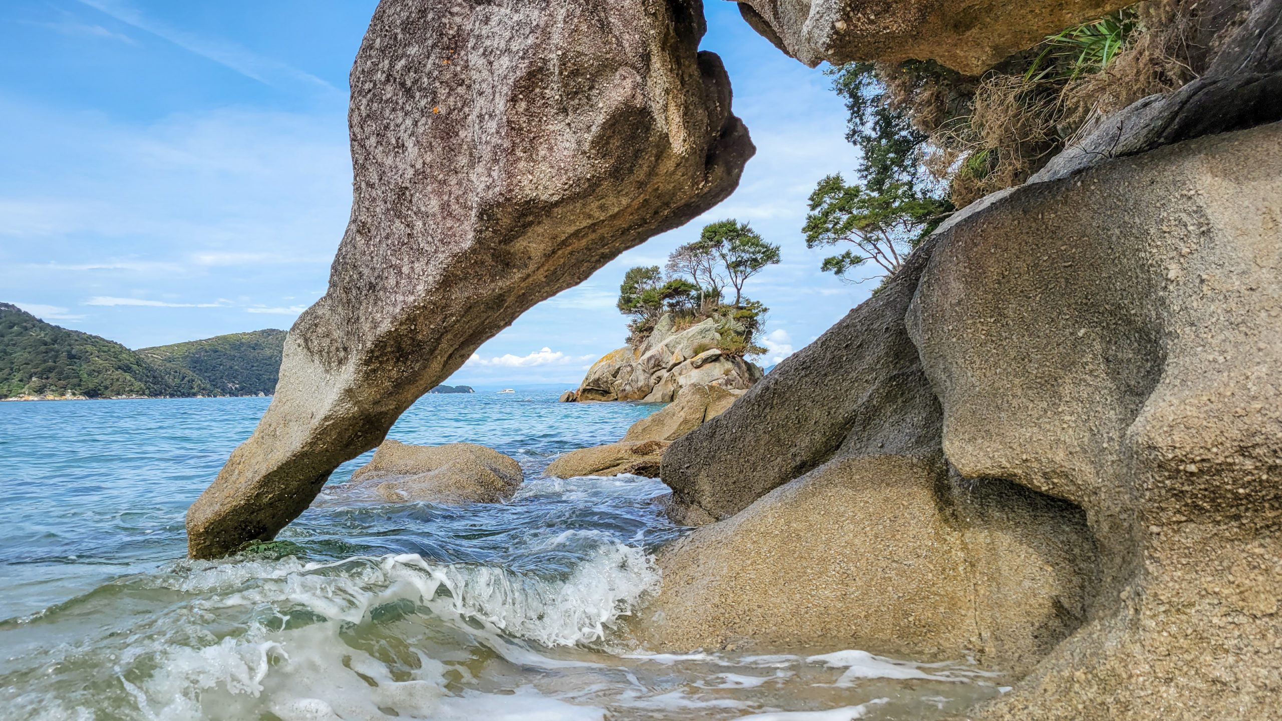
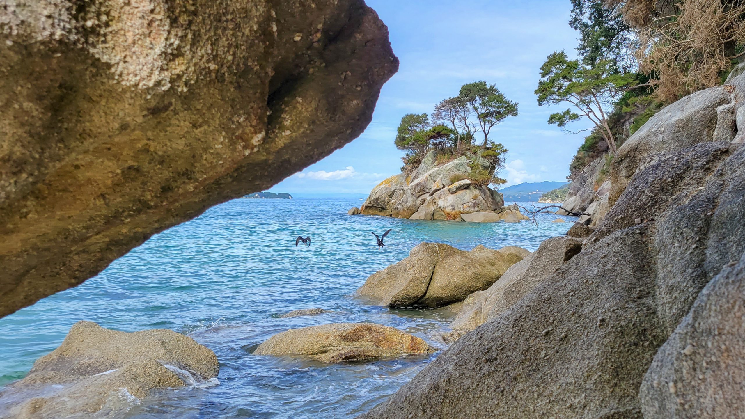
Onetahuti: The Abel Tasman experience. Do not miss this camp.
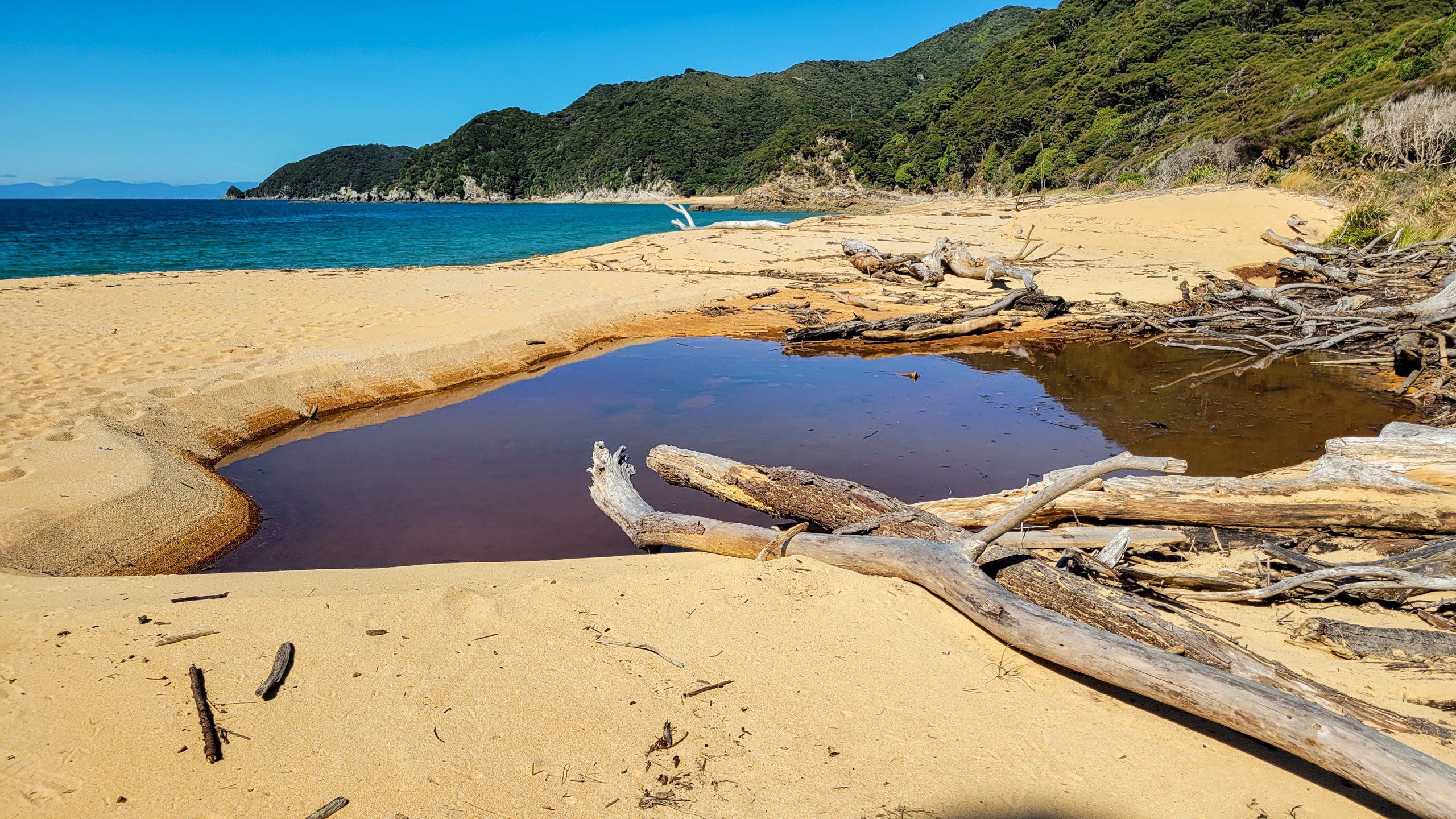
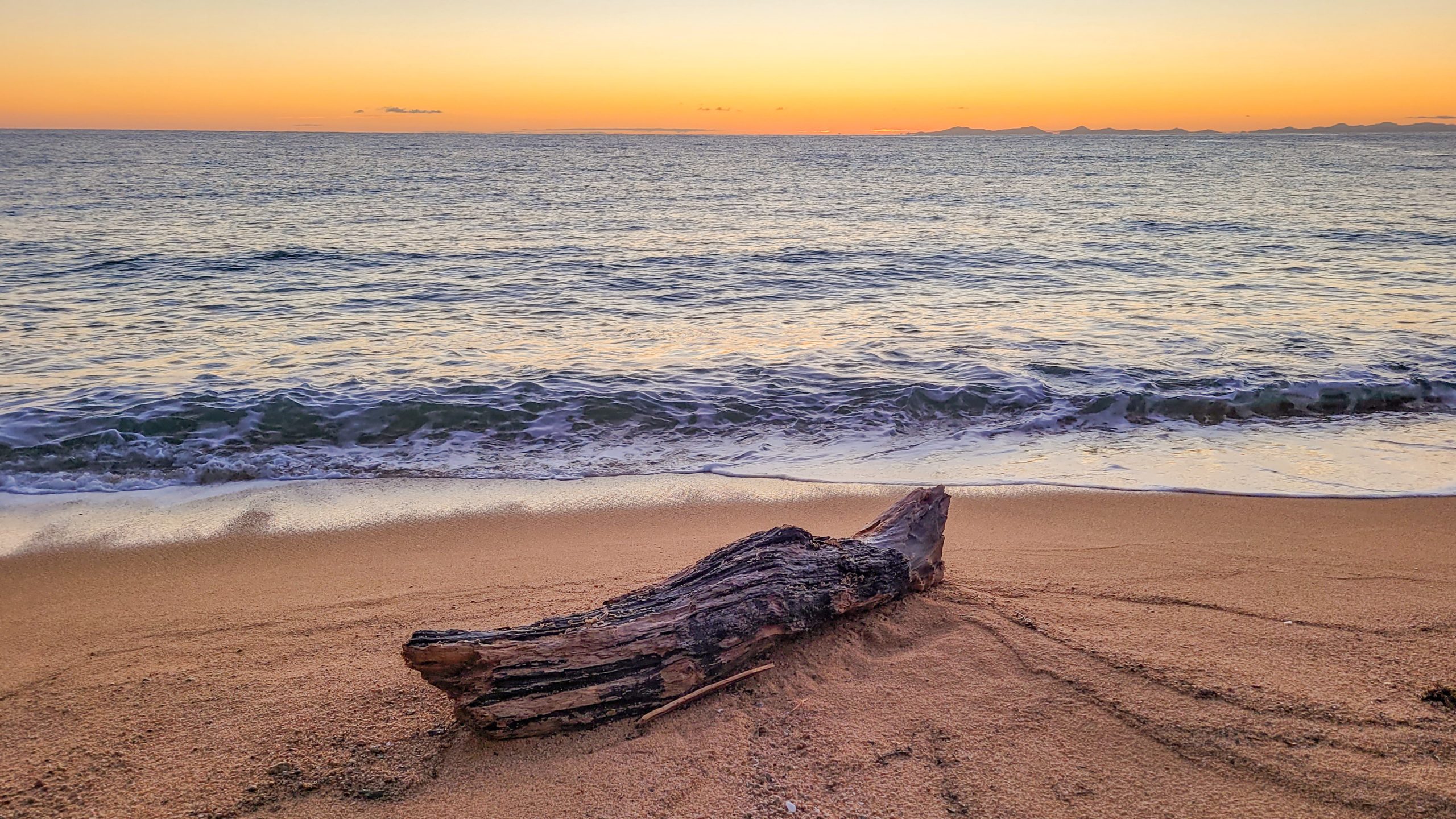
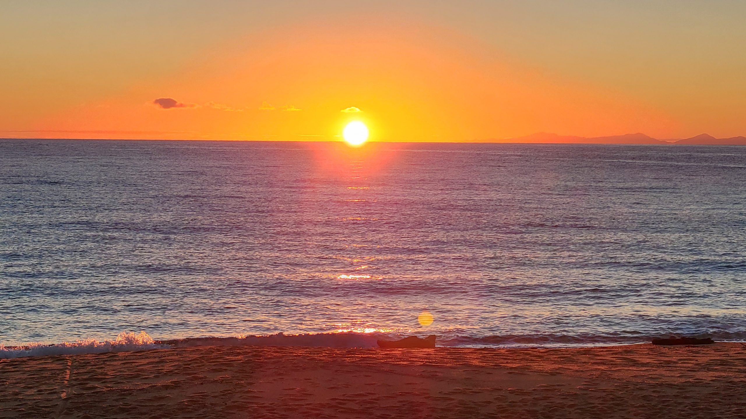
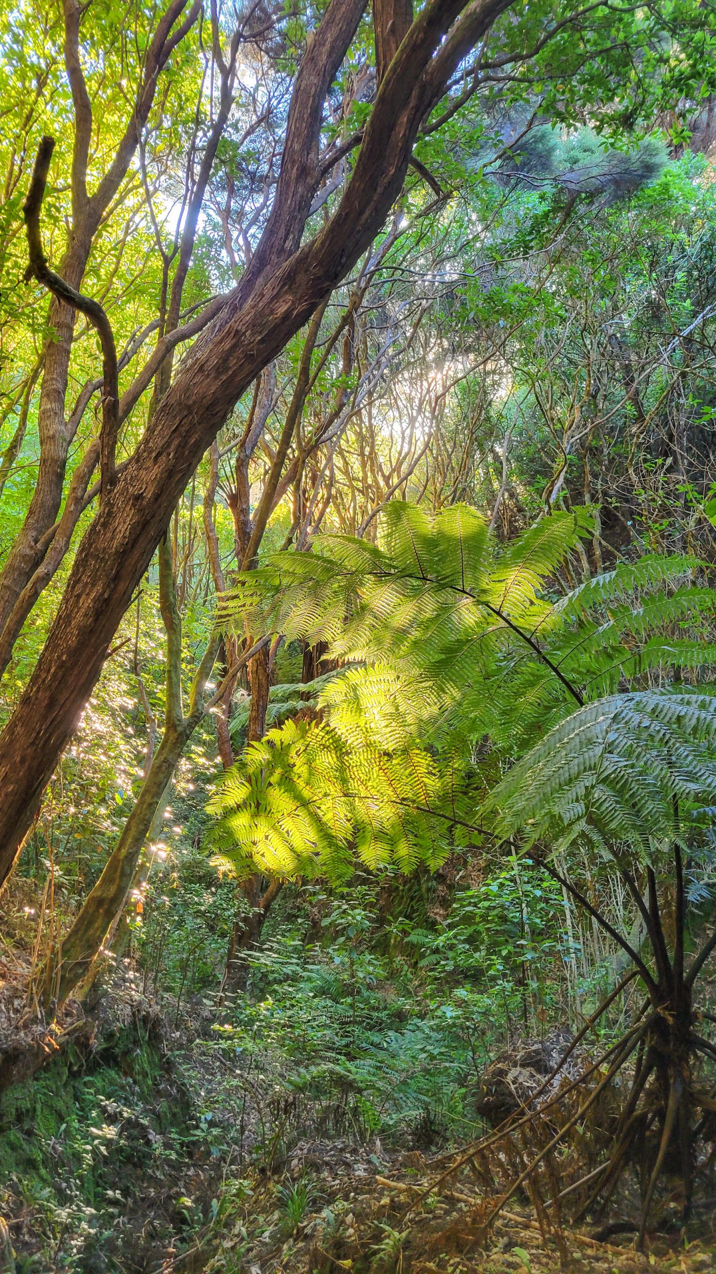
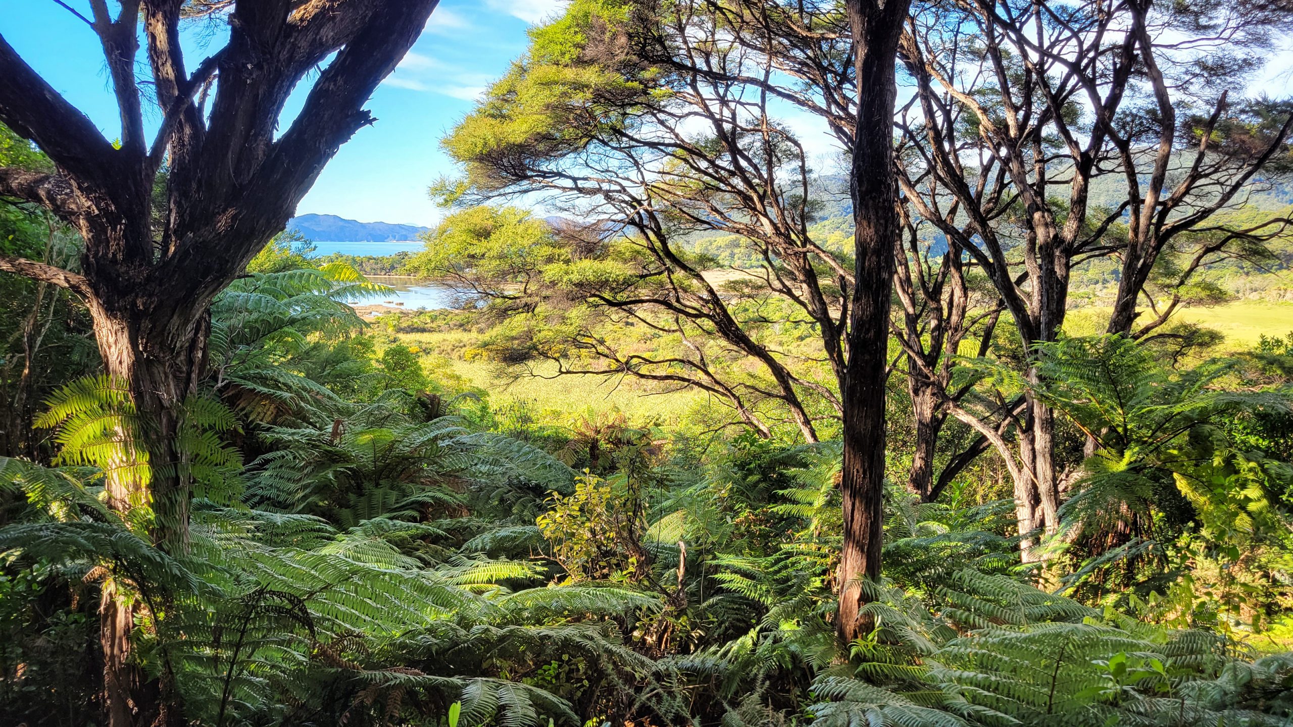
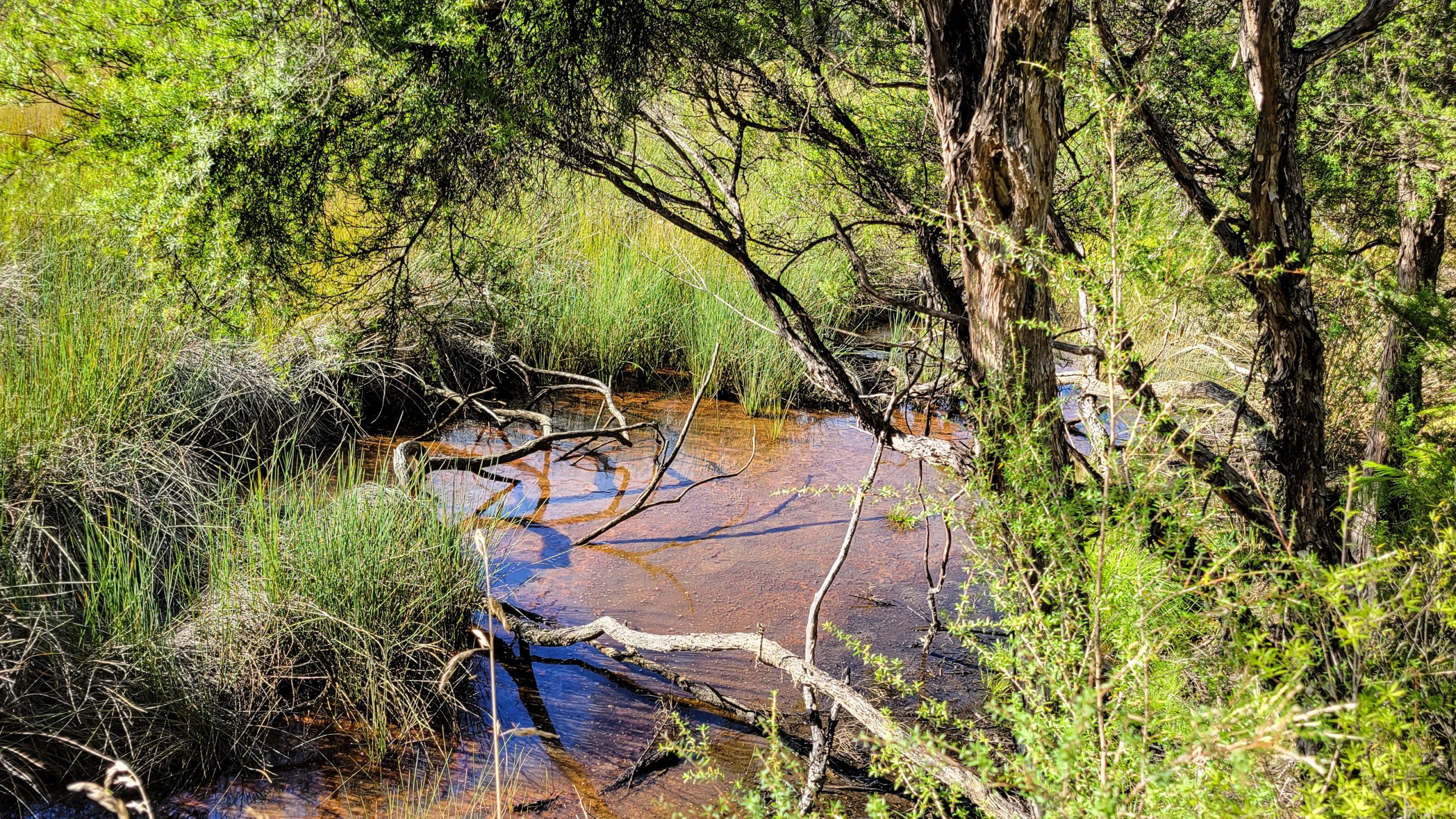
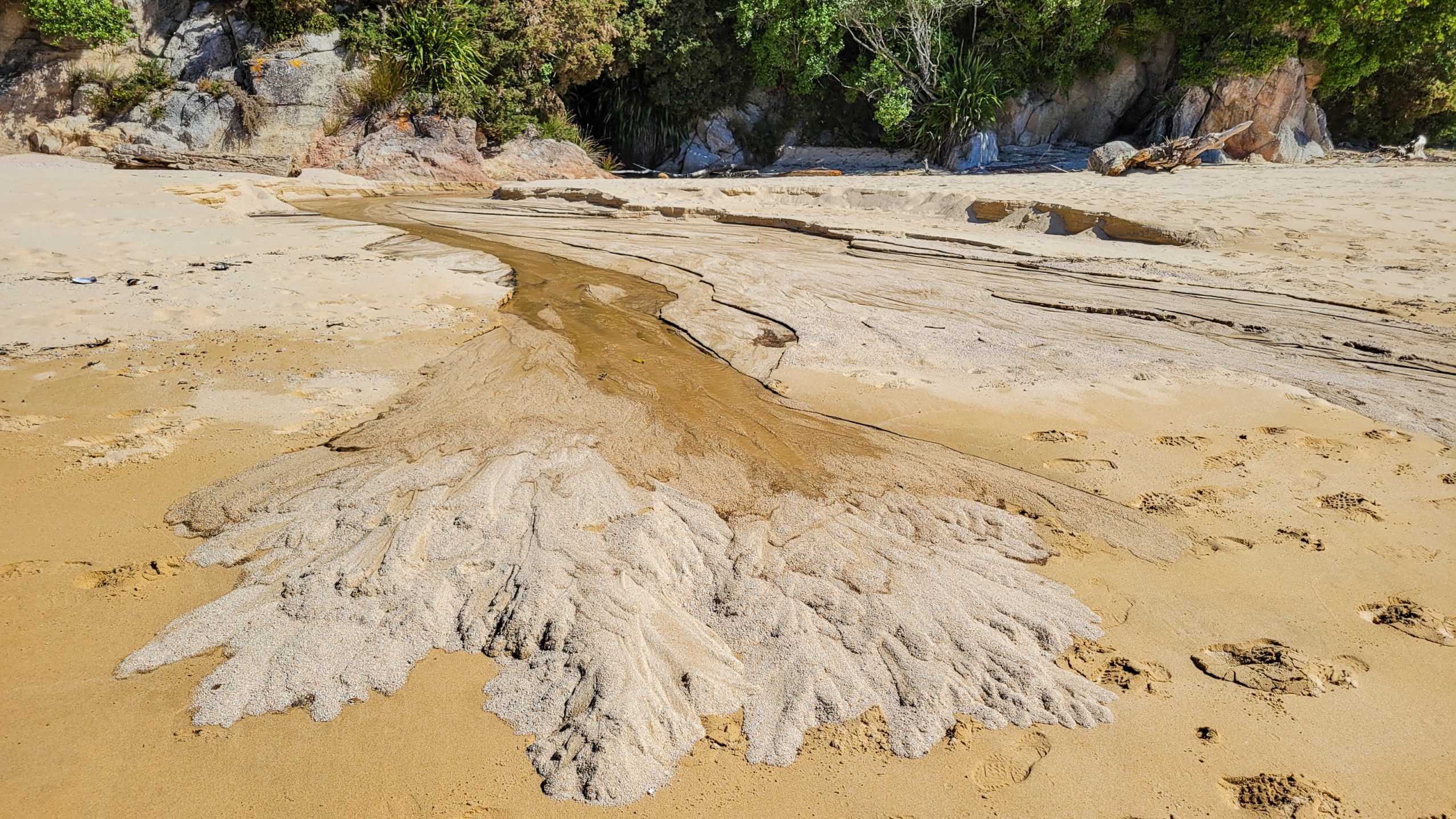
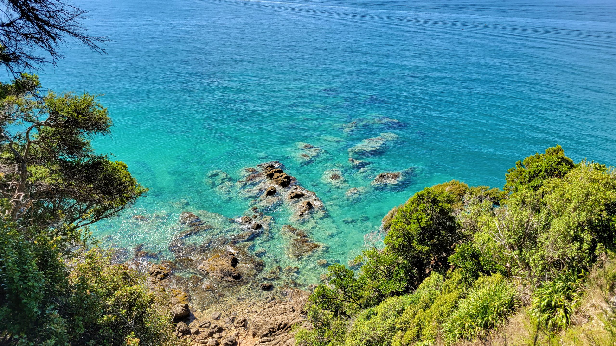
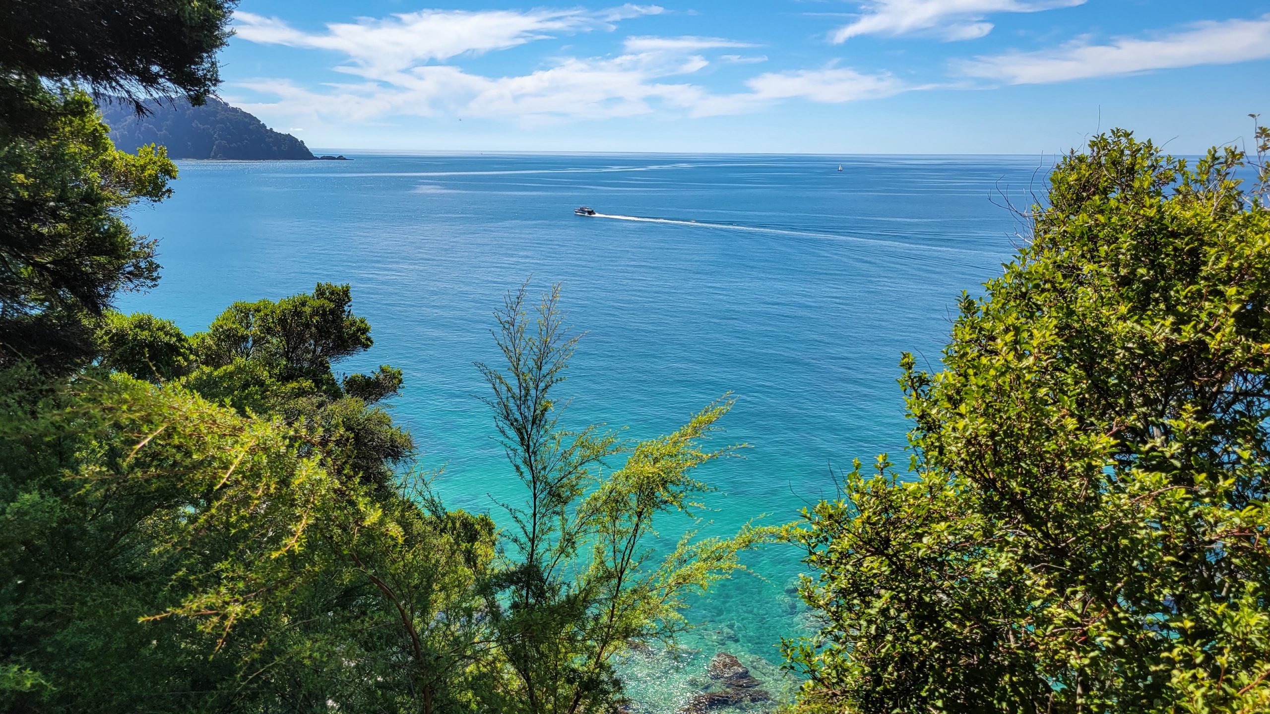
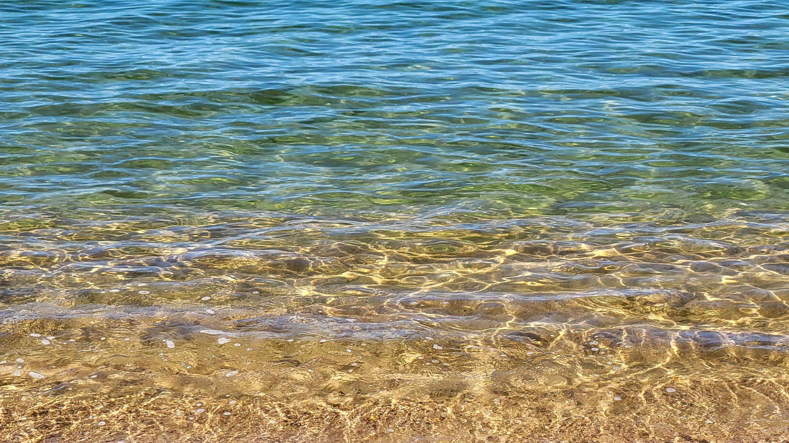
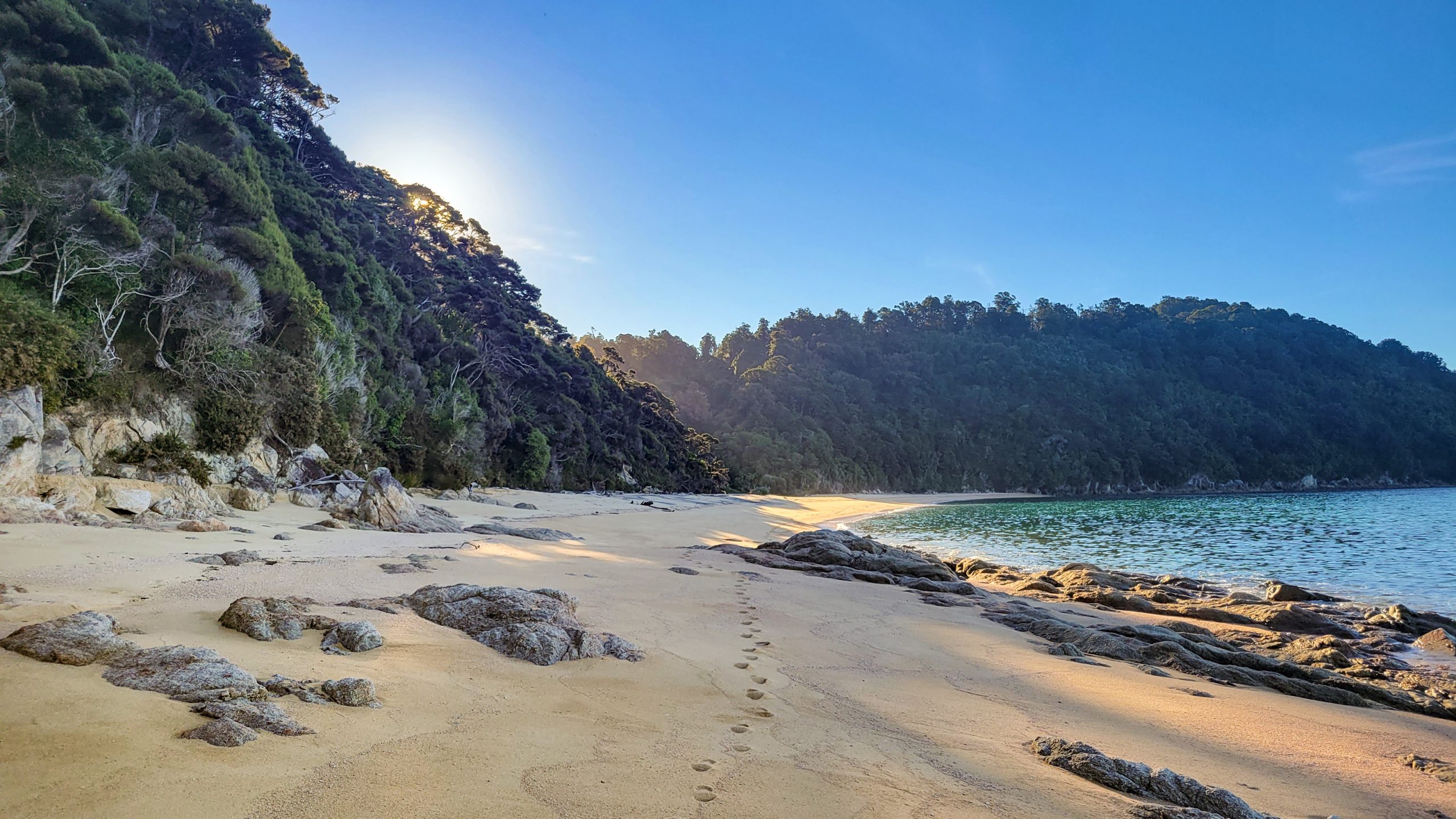
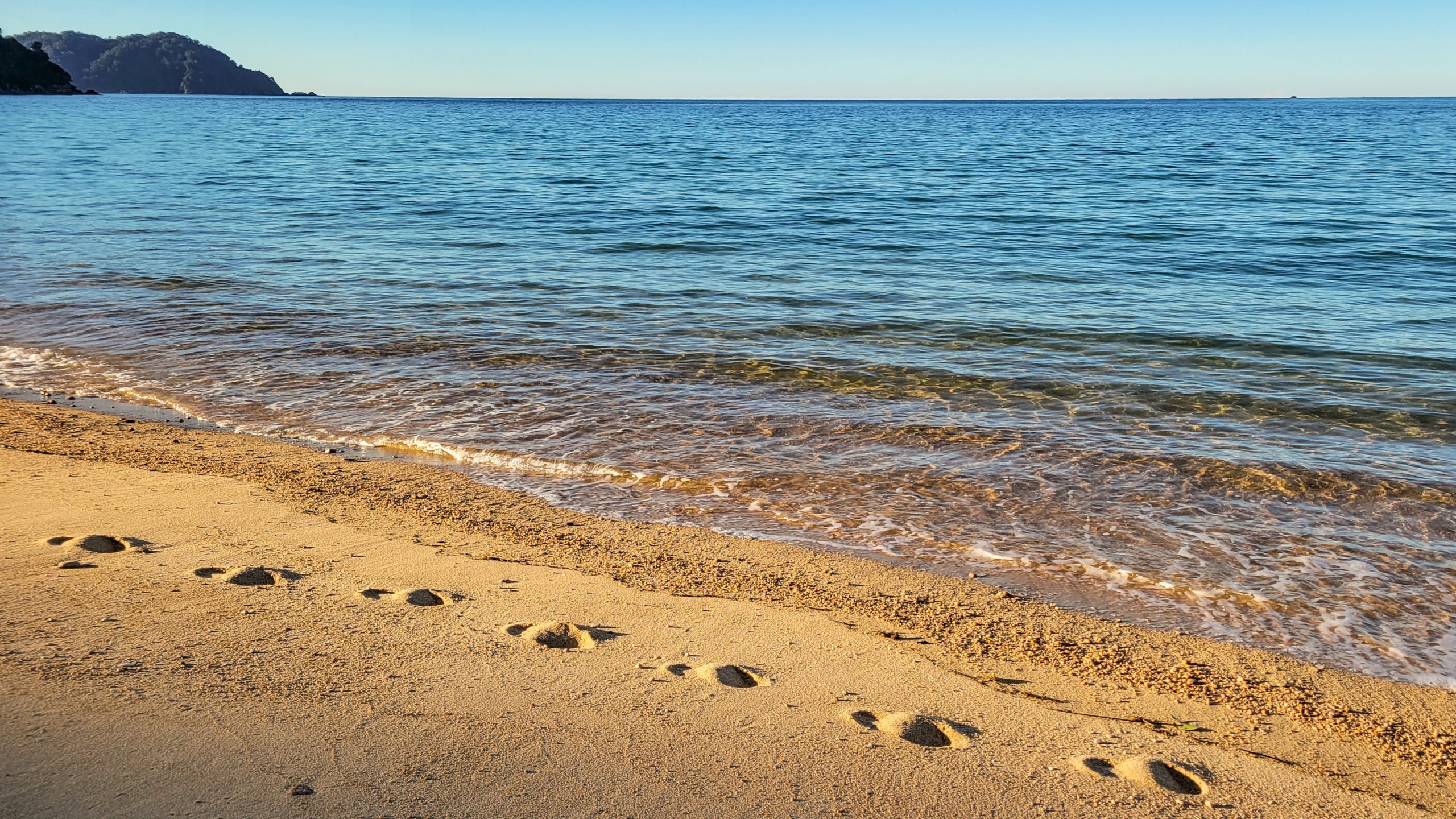
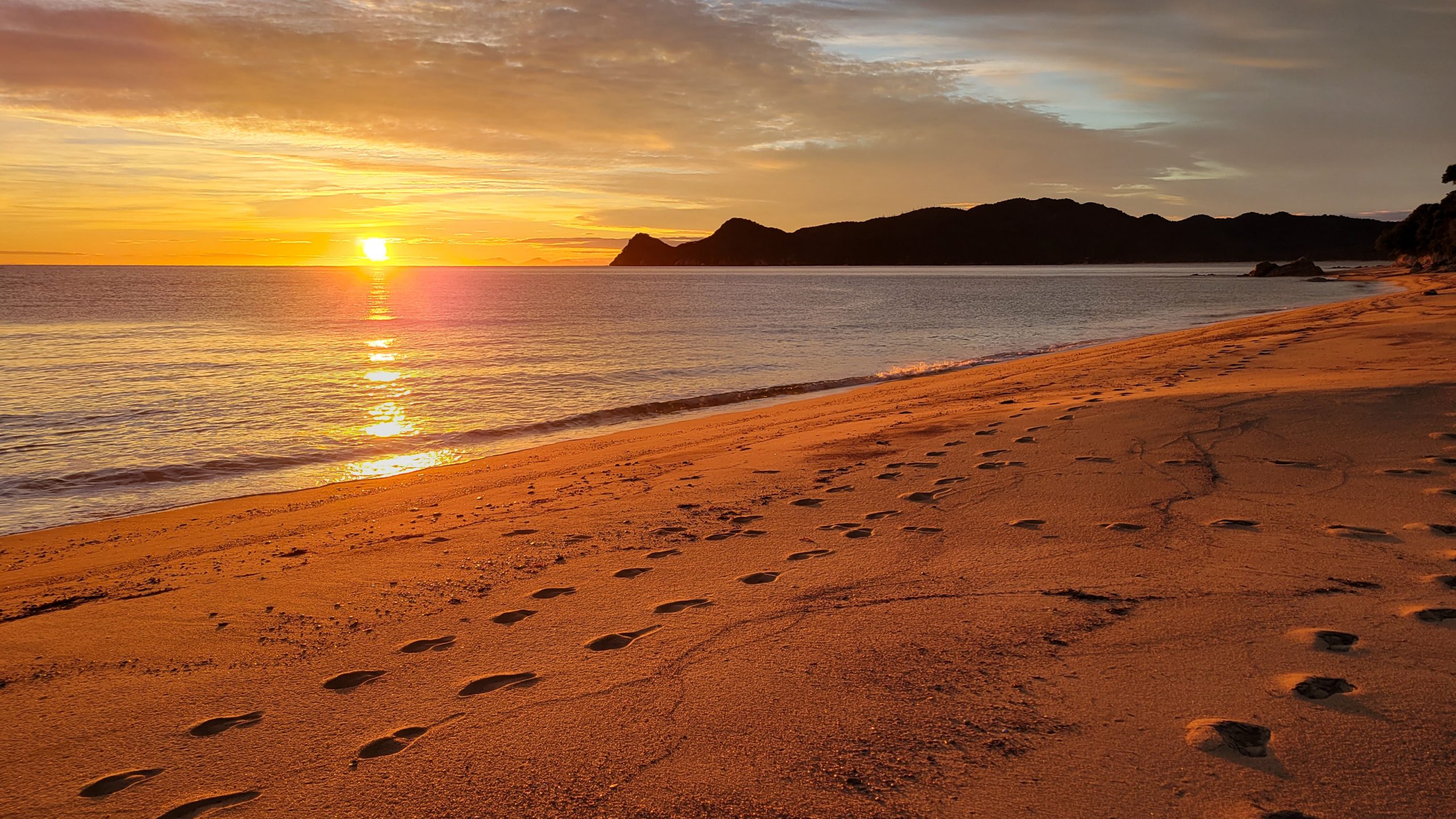
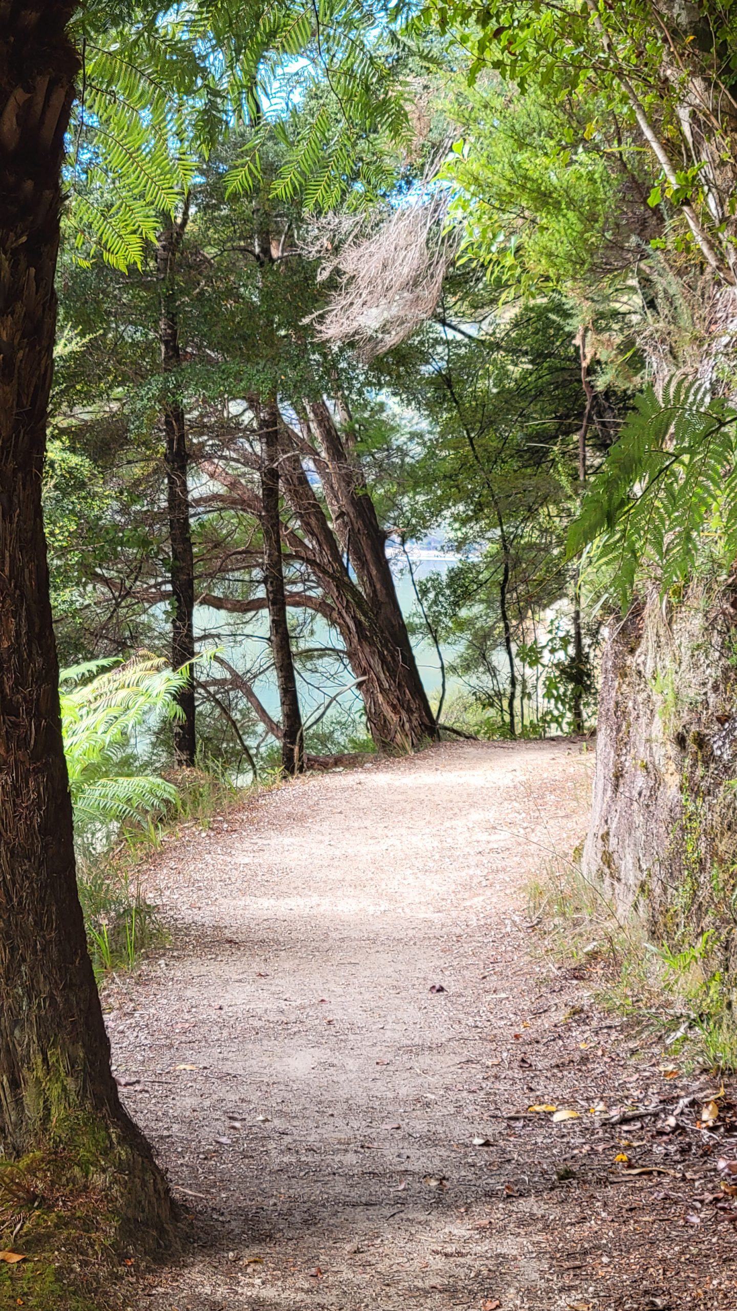
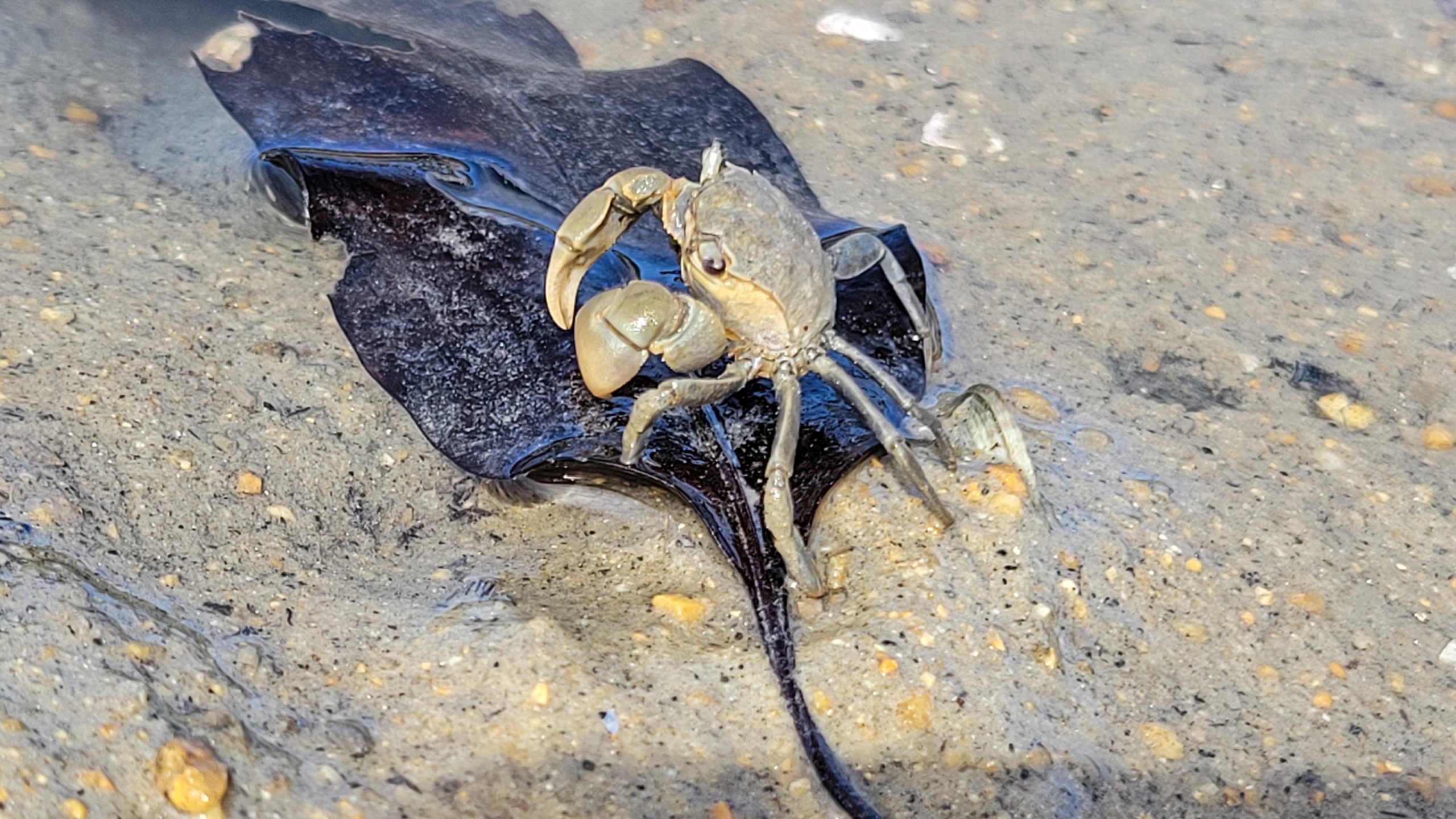
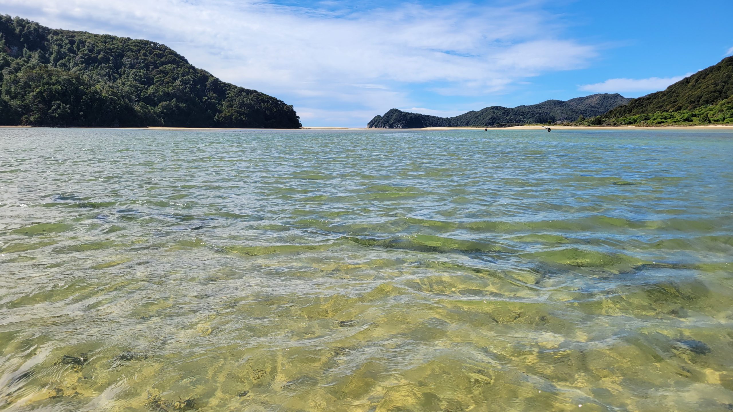
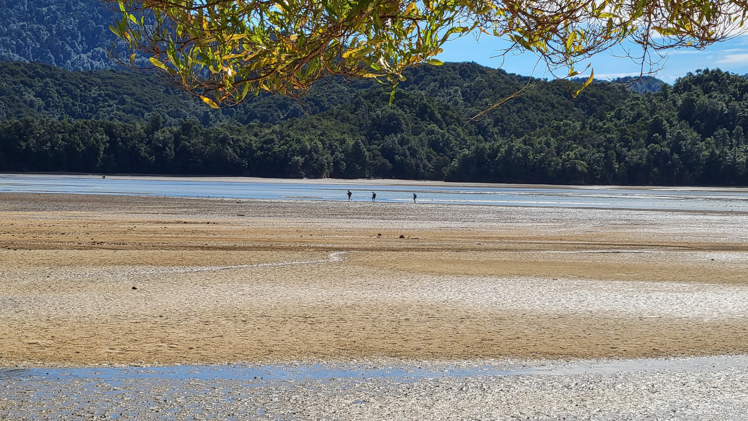
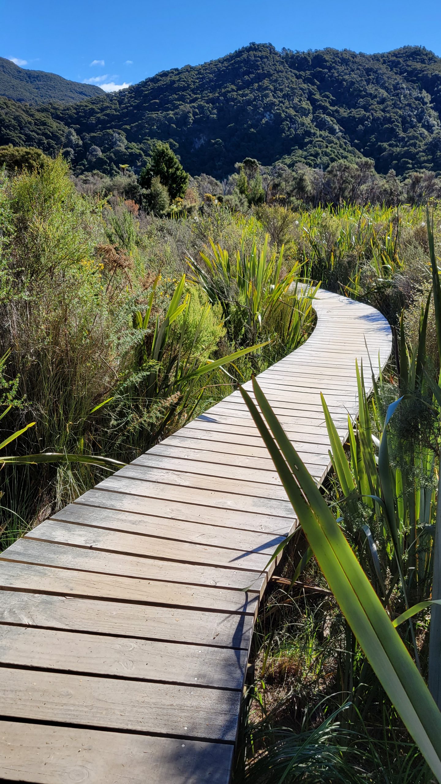
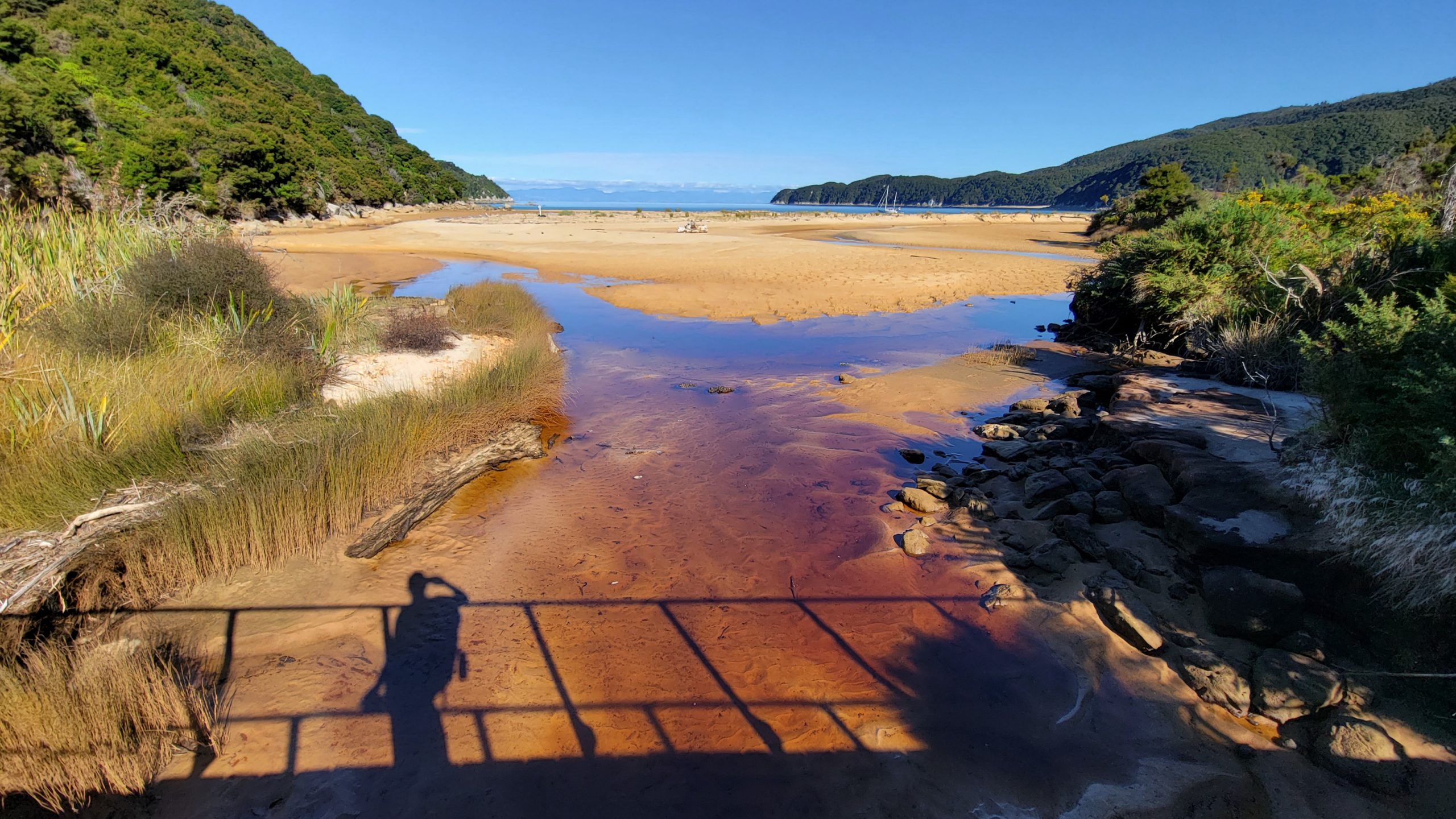
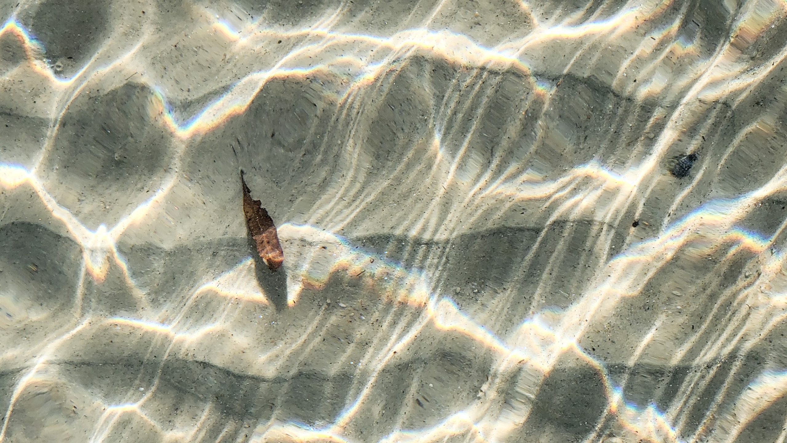
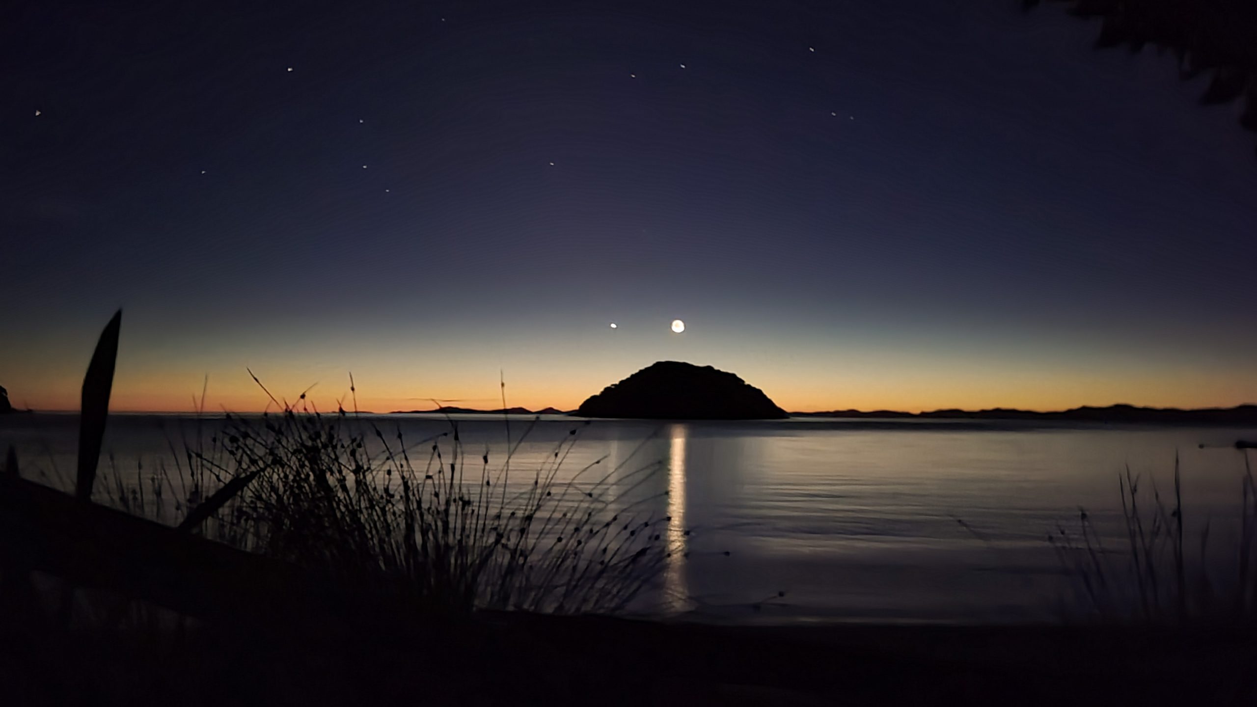
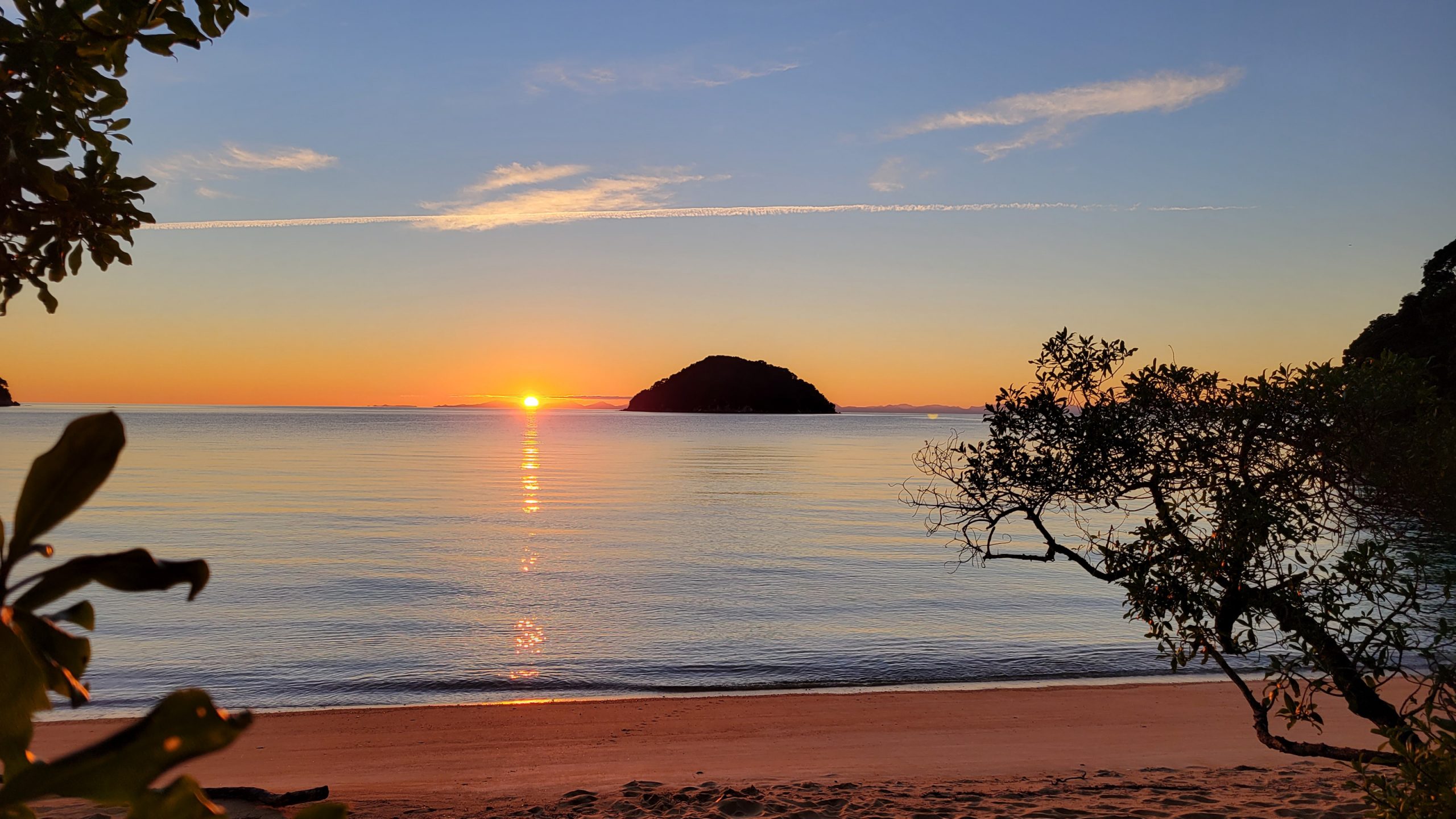
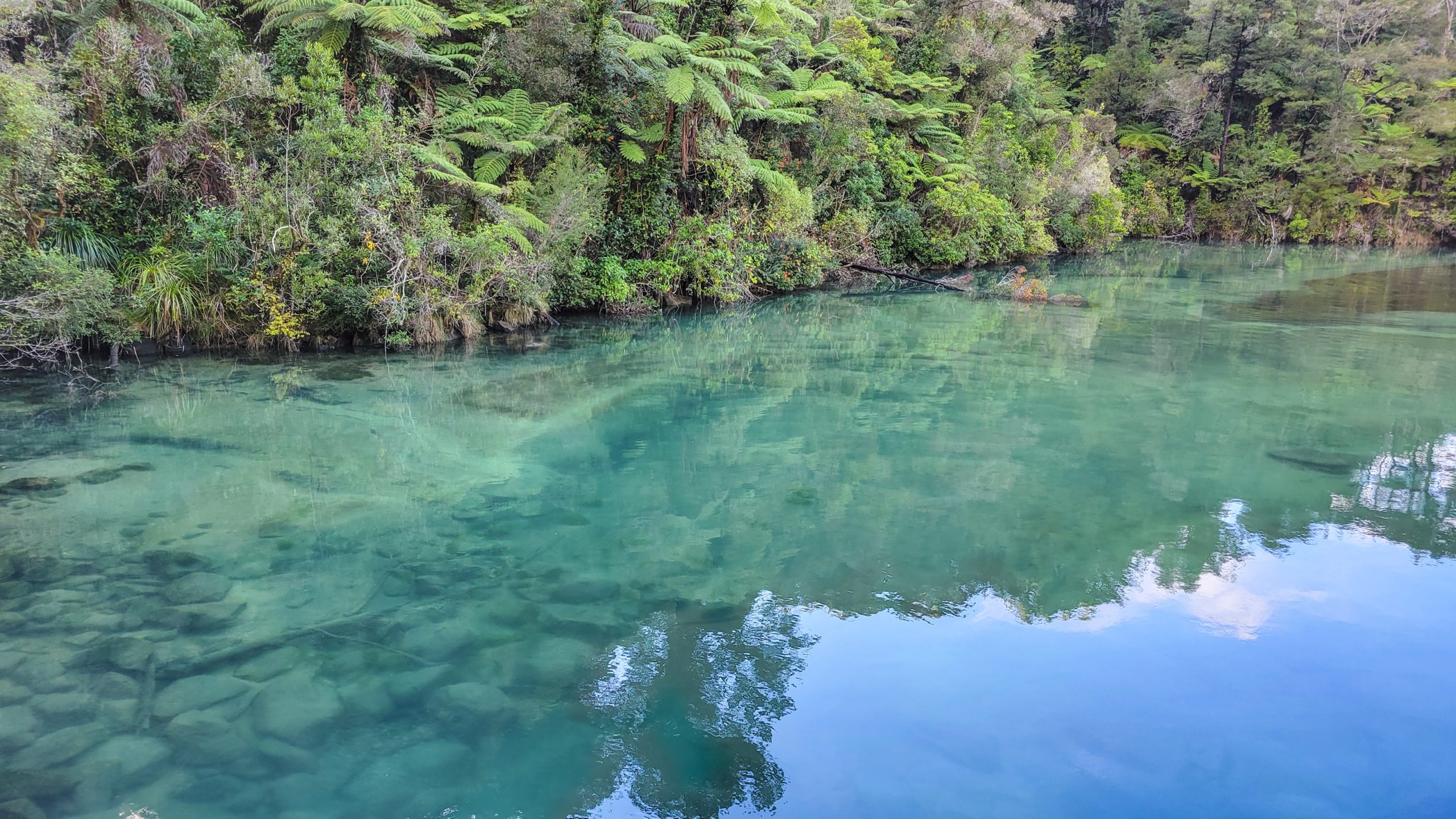
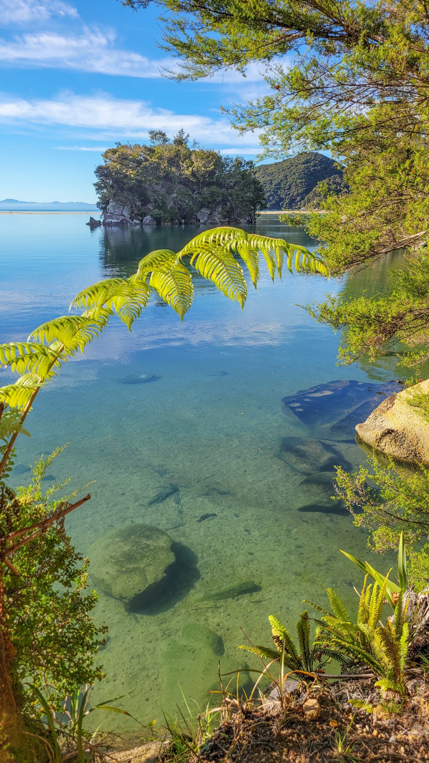
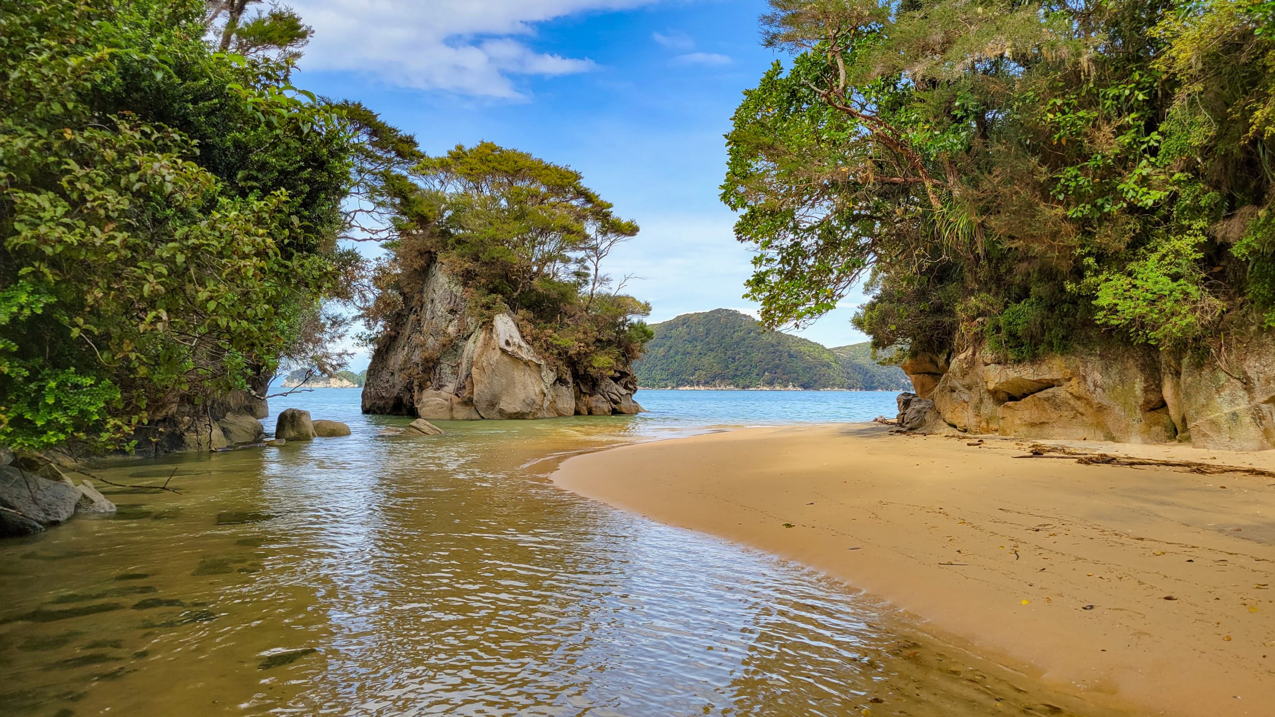
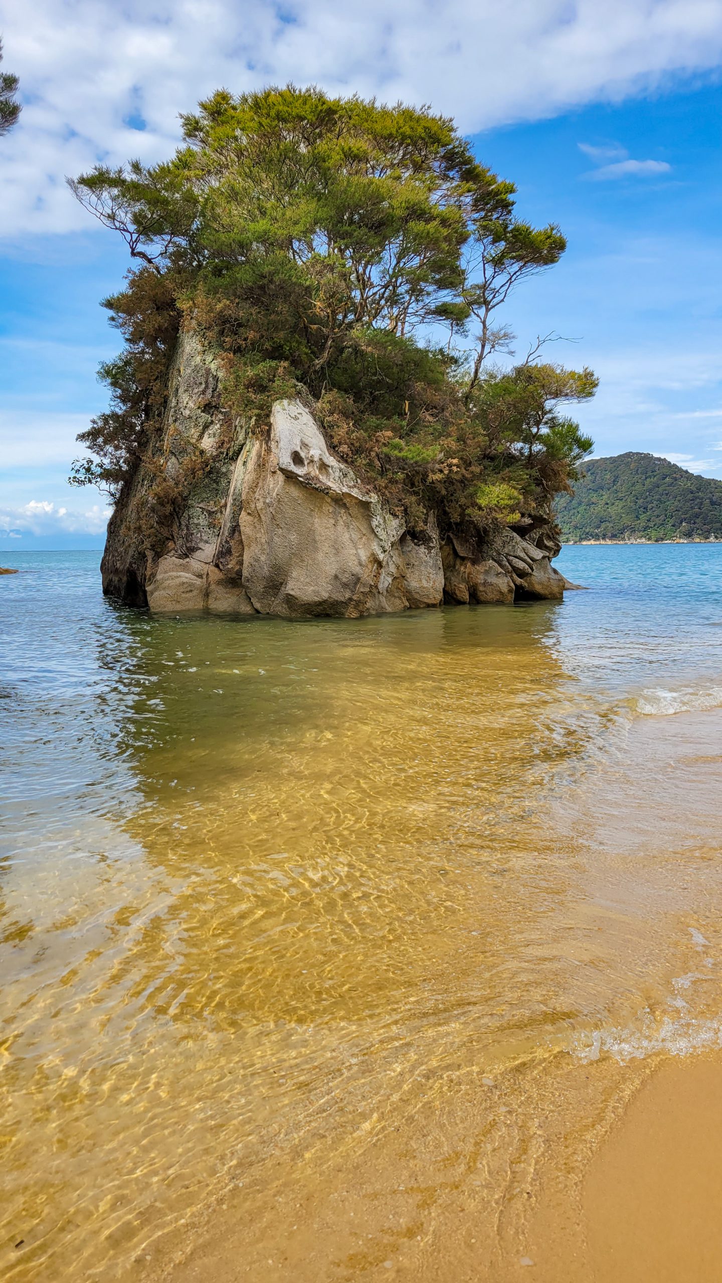
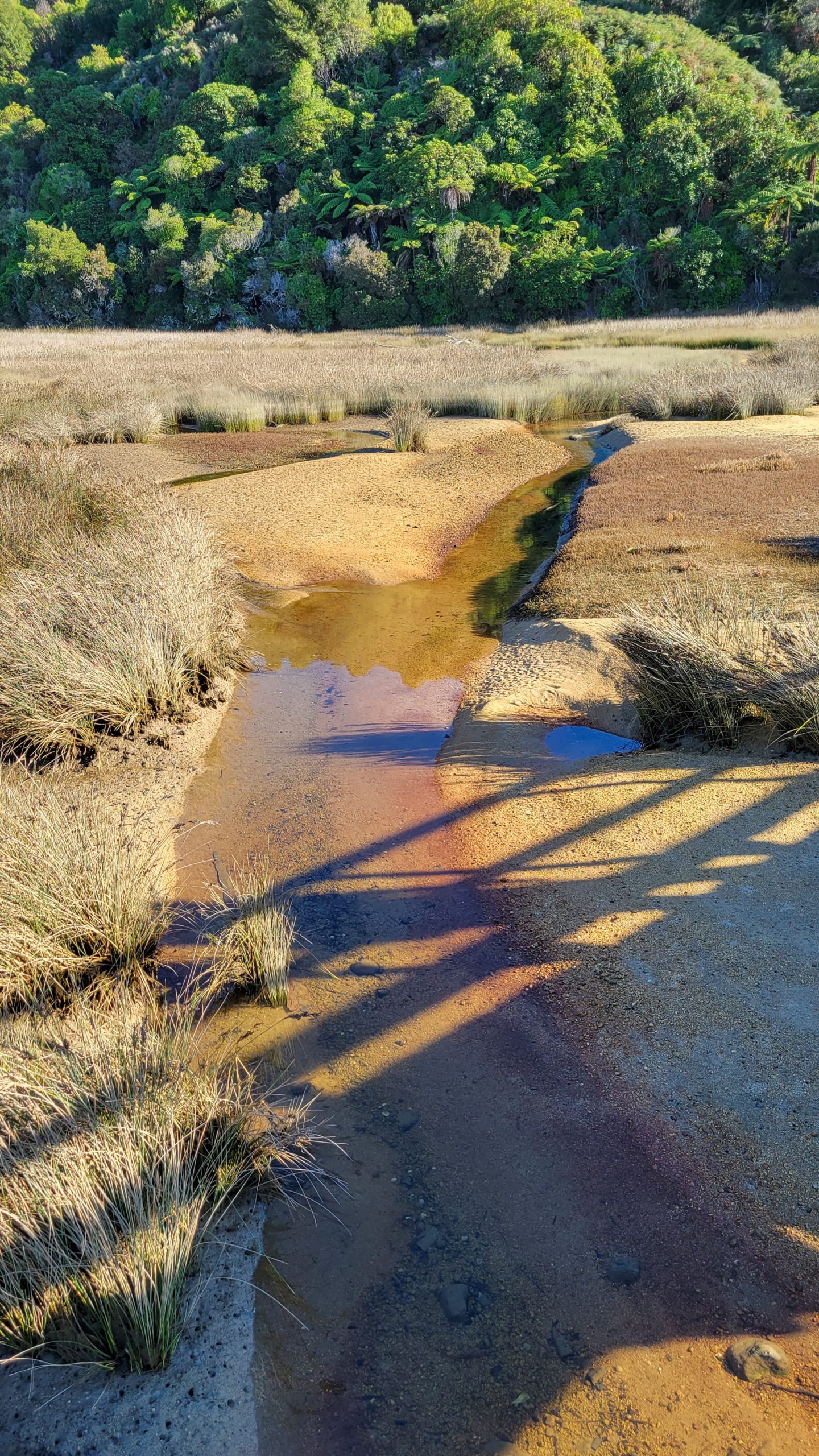
Stumbling out to the beach while it is still very dark, at least out here I can see where I fall into.The sky is lava.This will be the direction to go!The morning sun is so yellow geez!Yeah, there has actually been another tent here tonight! They came when it was almost dark and are sleeping in. Even though I will have to wait for the crossing I can’t wait to walk.Well, right after breakfast.This part of the track is in very lush forest, all streams and ferns, very cool.Punga clearing.It’s like in a Lost World movie, haven’t met a soul all morning and it’s almost noon.The stream that I followed finally meets the sea and I’m shocked that the tide is still high.I don’t think it could be higher, actually.So I sit down and watch a sting ray make his way through the shallow bay.Between the two hills, on the beach, that’s where I’m supposed to cross to. Hah. Not yet.I leave my bag and walk back a couple of minutes, weeding the gorse out of the slope.And draining the battery of my phone by making a huge amount of beautiful track pics ;)The Pound Gully side of the Awaroa Inlet tidal crossing.Pound Gully. Waiting for so long was a tad boring, while going through my stuff, I found my pen!I try to make the water go away by staring at it.Seems to help. Looks much better now.It’s almost 3 pm, the crabs are still out and there are a few people now that also need to cross.In the beginning it was ok, but where the boat channel is, the waves were suddenly lapping at my undies and I shoved my backback up with my hands as far as possible so nothing would get wet. The worst was not the water plus small waves but the ancle deep mud that would take another 10 cm within seconds. And the empty shells. No, now that I think about it, the worst was the sharp edged shells, hundreds of metres poking into the soft soles of my feet! Ouch.Awaroa crossers.It goes up again. A lot and steadily. I need to press on to reach Onetahuti still in low tide mode.Awaroa, with some tiny ants way over there.The Awaroa inlet is a notoriously difficult place both to organise the crossing in advance because you don’t know how the weather or other variables will be at the time you put your feet in. A story I heard was about a couple that tried to cross after heavy rain, only lucky thing they turned around mid attempt because there were logs drifting down and the water was just too high and turbulent, so they could wait it out at Awaroa hut. Would the have come from Wainui they’d just be able to cuddle up in that outhouse at Pound Gully.There are a few houses sprinkled upon the beach, must be a nice location for a bach.Soon, the track leads me past Awaroa Lodge, from where I am you can only see the roofs. A shame, I was counting on that pizza ;)Always uplifting to see the next bay in the distance. But no time for a rest, need to get to camp.Down it goes and my feet are already running on their own. The broken shoe has probably already scraped a hole in my heel even though I wear all my socks over each other and a natural band-aid from kawa kawa leaves.Onetahuti boardwalk, just a metre above the swampy flax land, good too have here!At this point I got more relaxed about the rising tide, it still seemed very low, not even reaching the bridge.The Onetahuti stream comes out of the hinterland, after a heavy rain it is said to carry lots of sediment, no fun to cross, good on DOC for building the bridge.The camp is just another 10 min walk from here, at the far end of the beach.Easy. I wouldn’t have had to be in such a rush.That’s THE stream, mostly a super stinky brackish brew that just sits in the sun, but obviously, once a month with spring tide, it can be 1.5 m deep (and you wouldn’t want that muddy reek on you)Let’s forget about the stream and look out the sea, to Tonga island.Because it’s so hot and my feet hurt I take off my shoes and wade through the shallows. So nice.If I should choose from all the sites that I have been in the park, I would probably take either Goat Bay or Onetahuti to go for a swim.Can’t get enough of the slight rippling in the clear water.Time to put up camp, this was a long day. Wanting to do some late night sudoku, but I broke my pen lol it’s ridiculous.
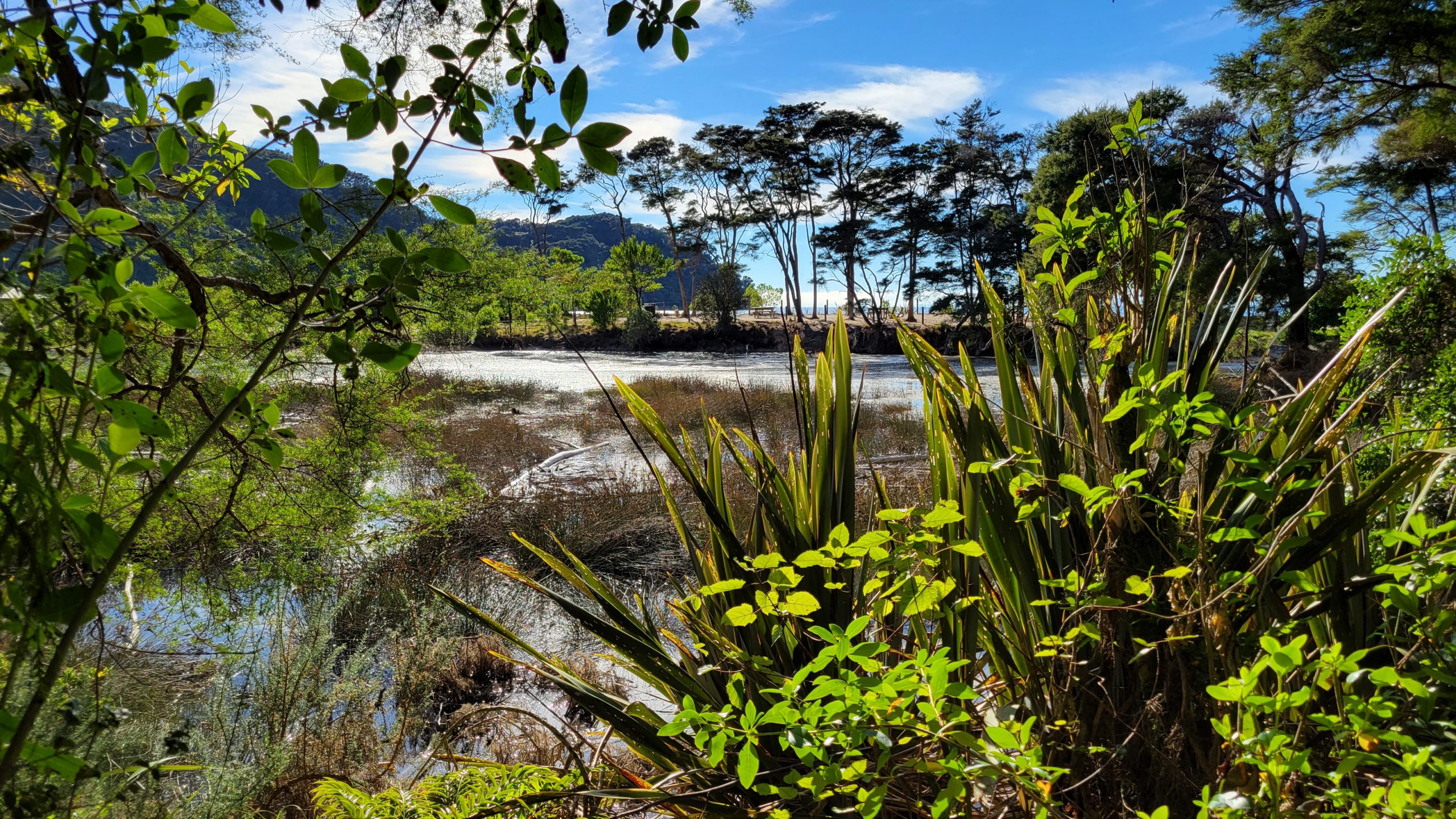
Day 4: Onetahuti Bay – Torrent Bay
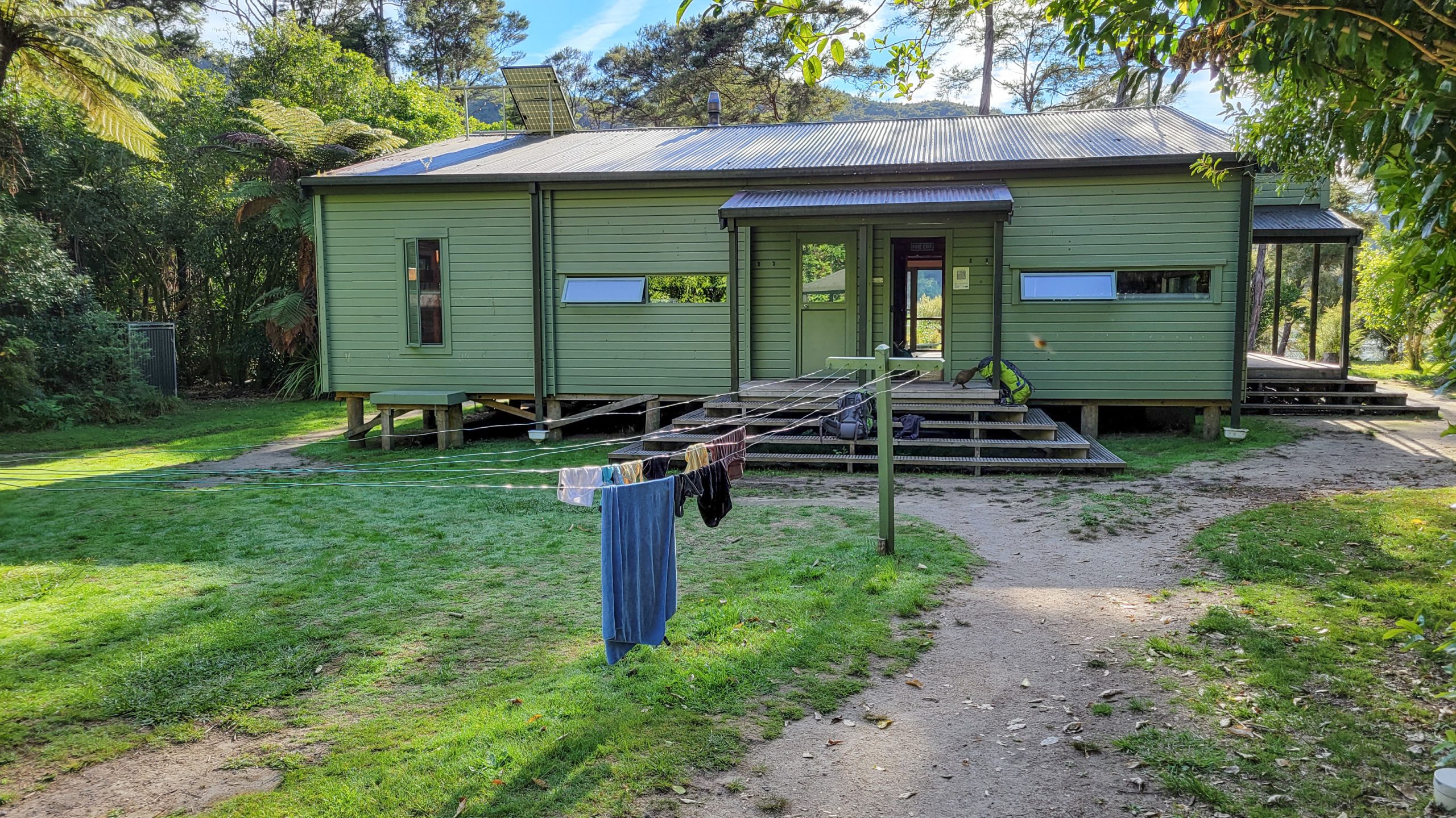
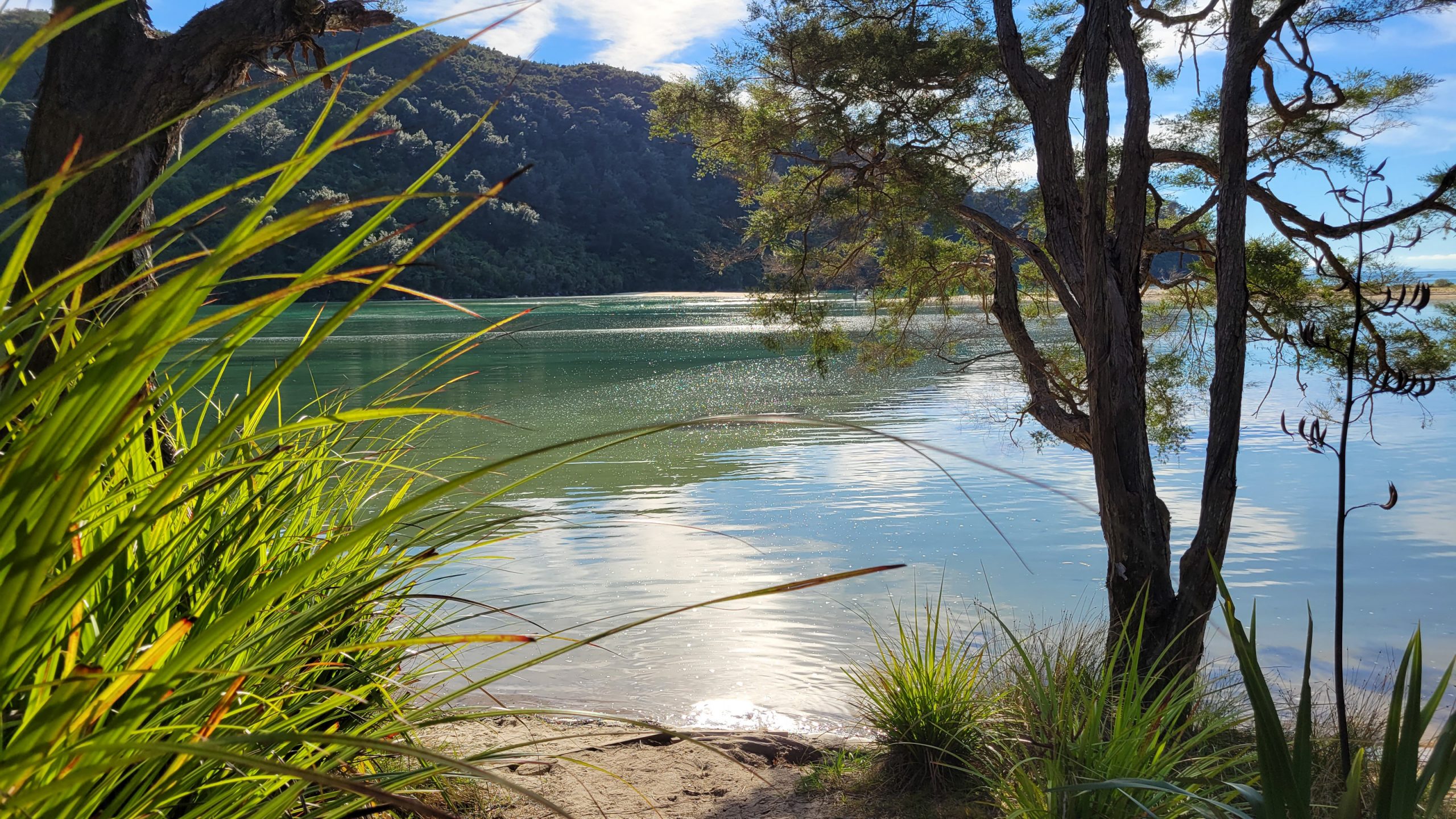
Torrent Bay: Miss this one in favour of Anchorage.
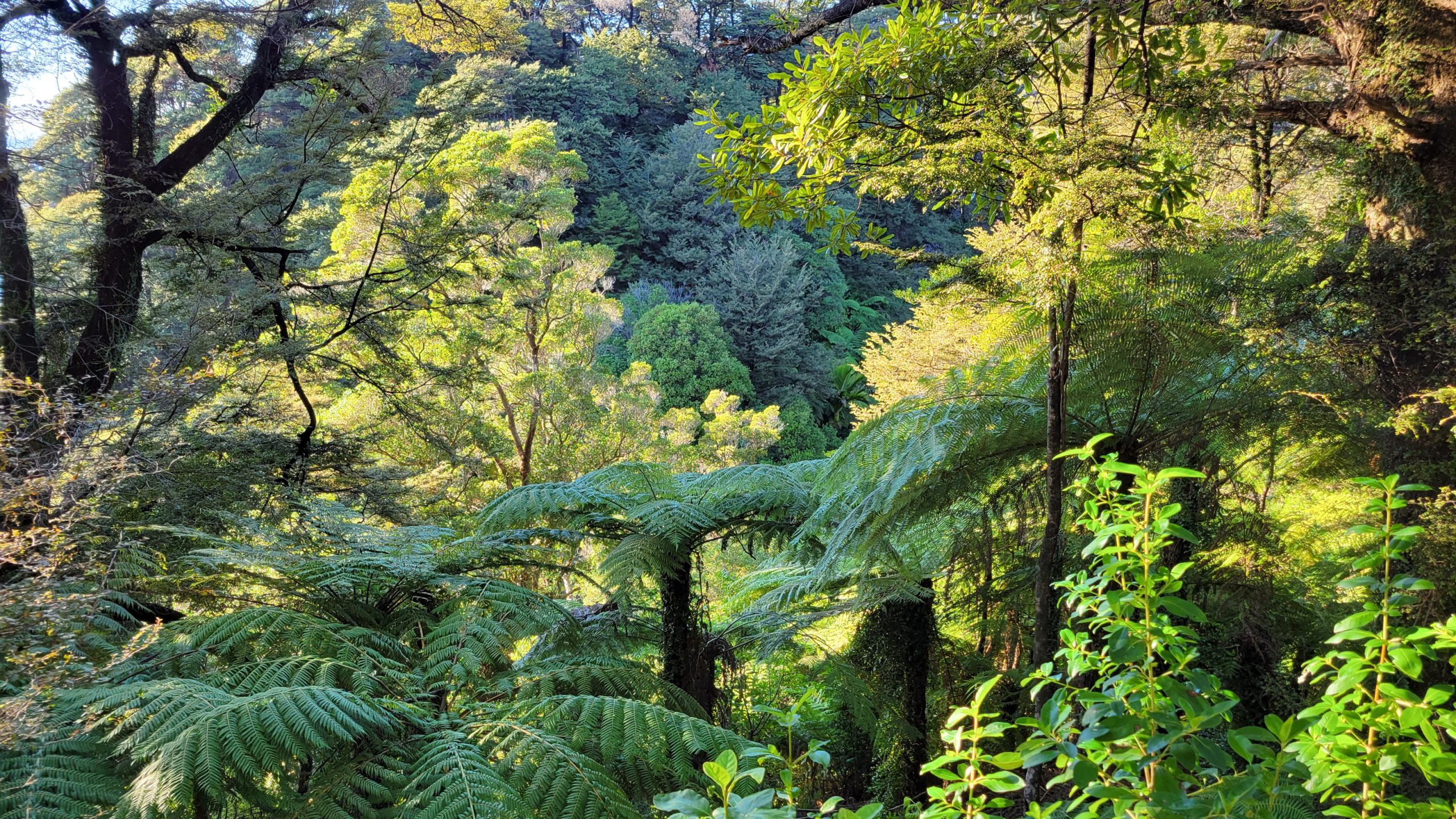
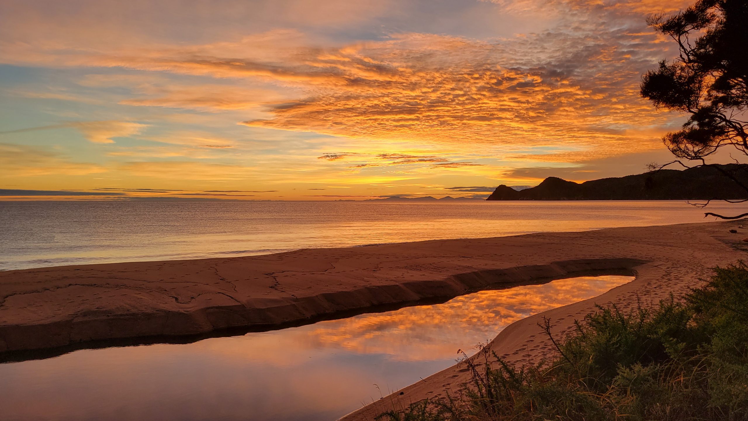
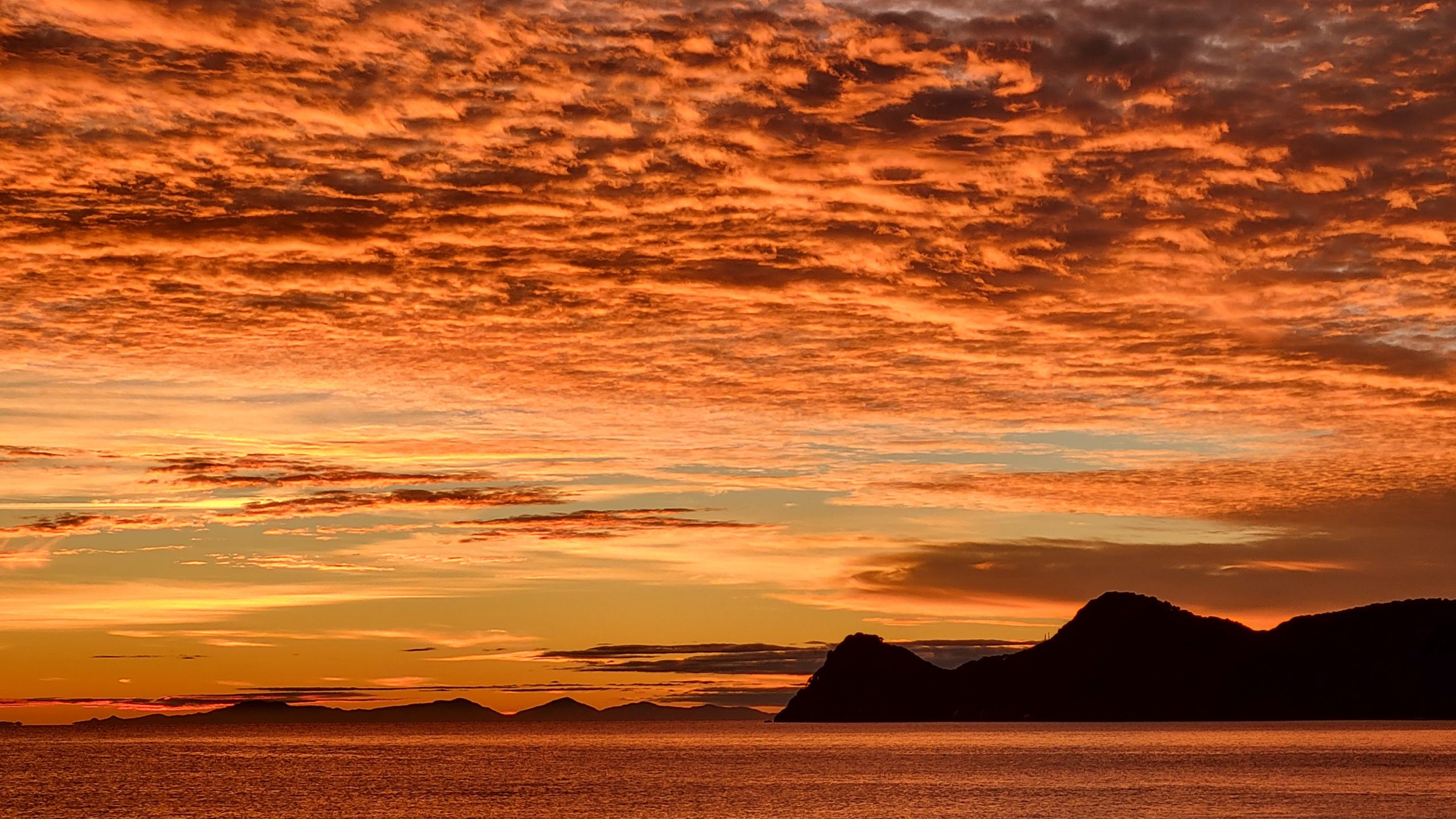
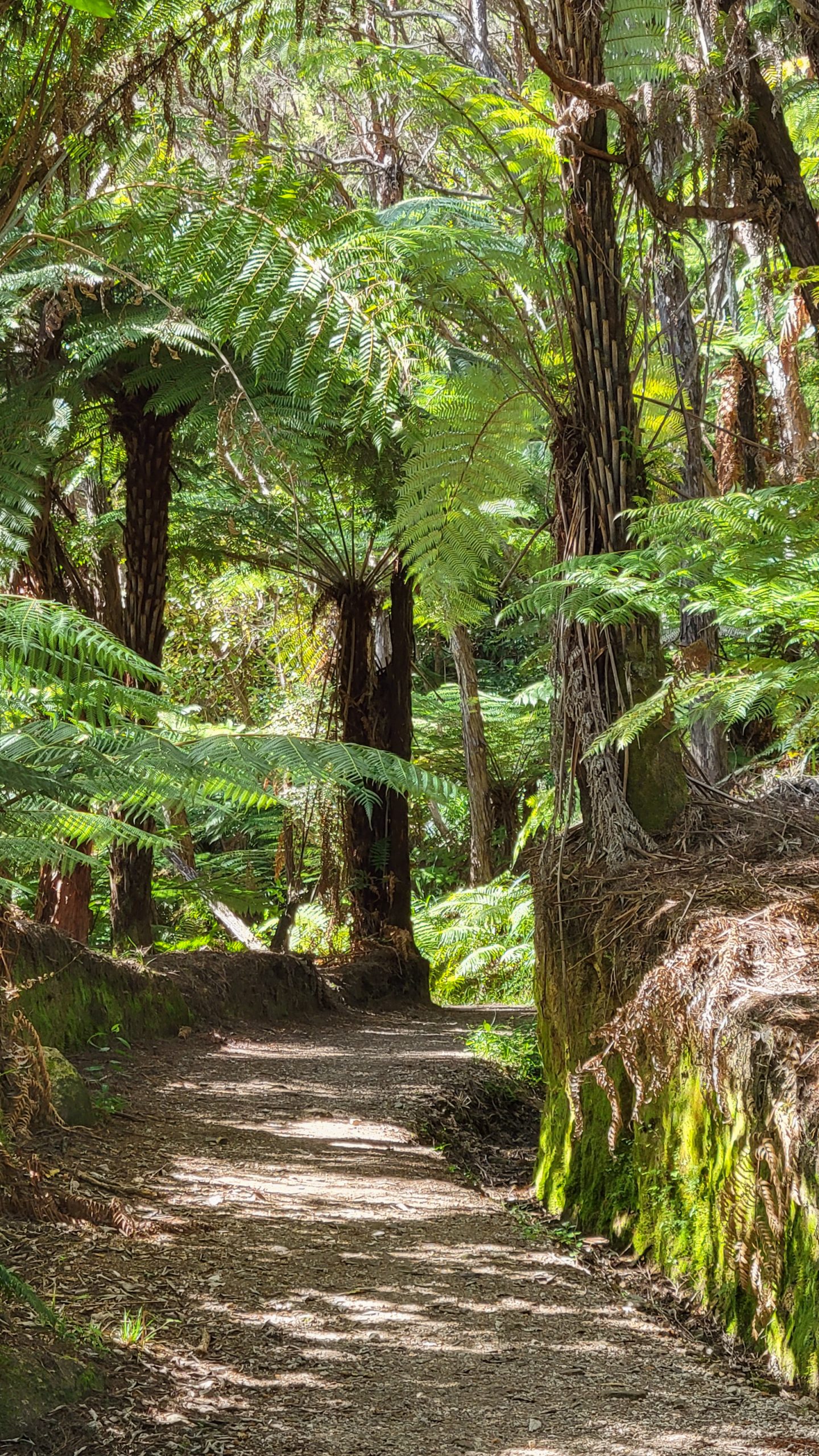
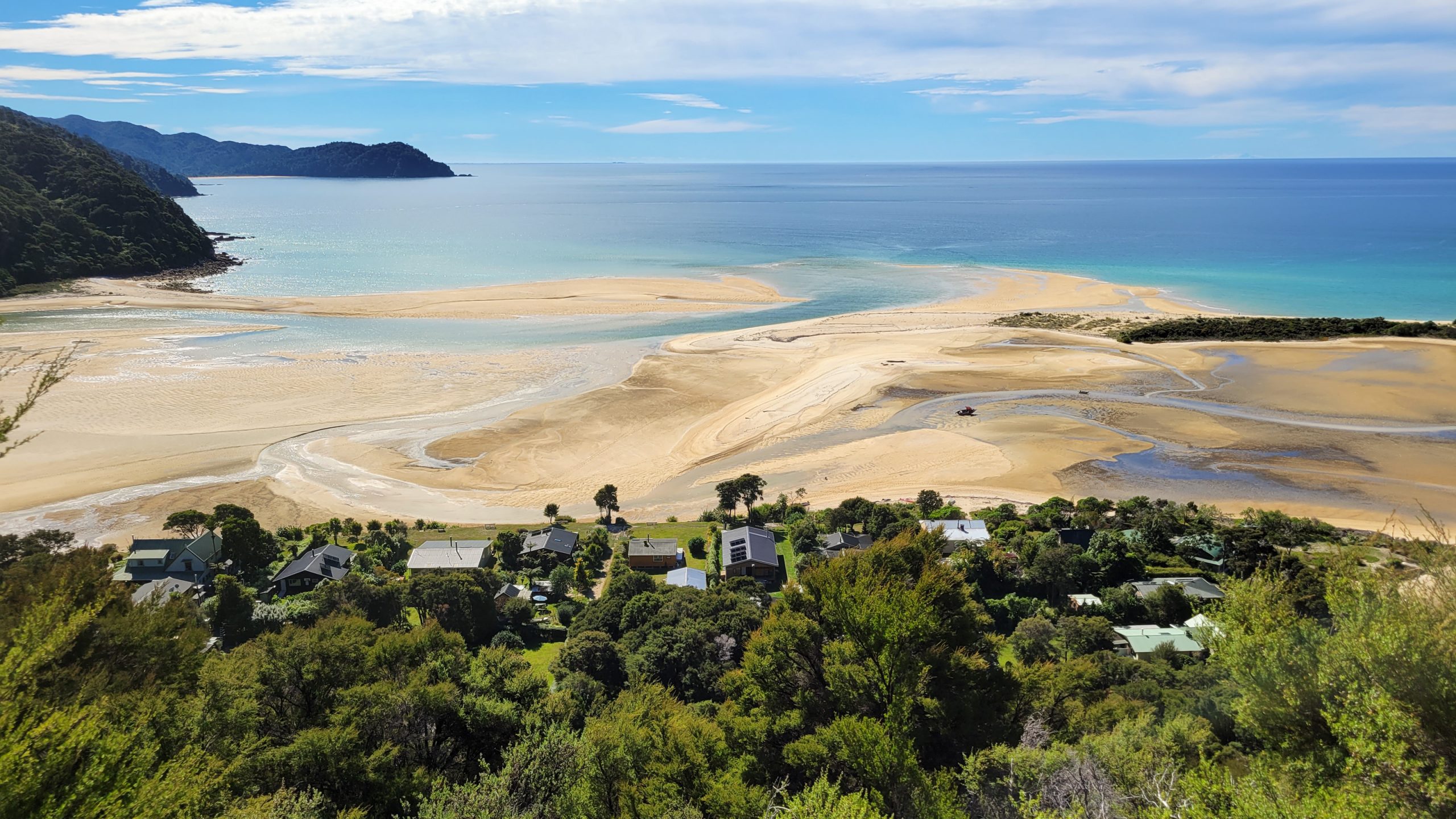
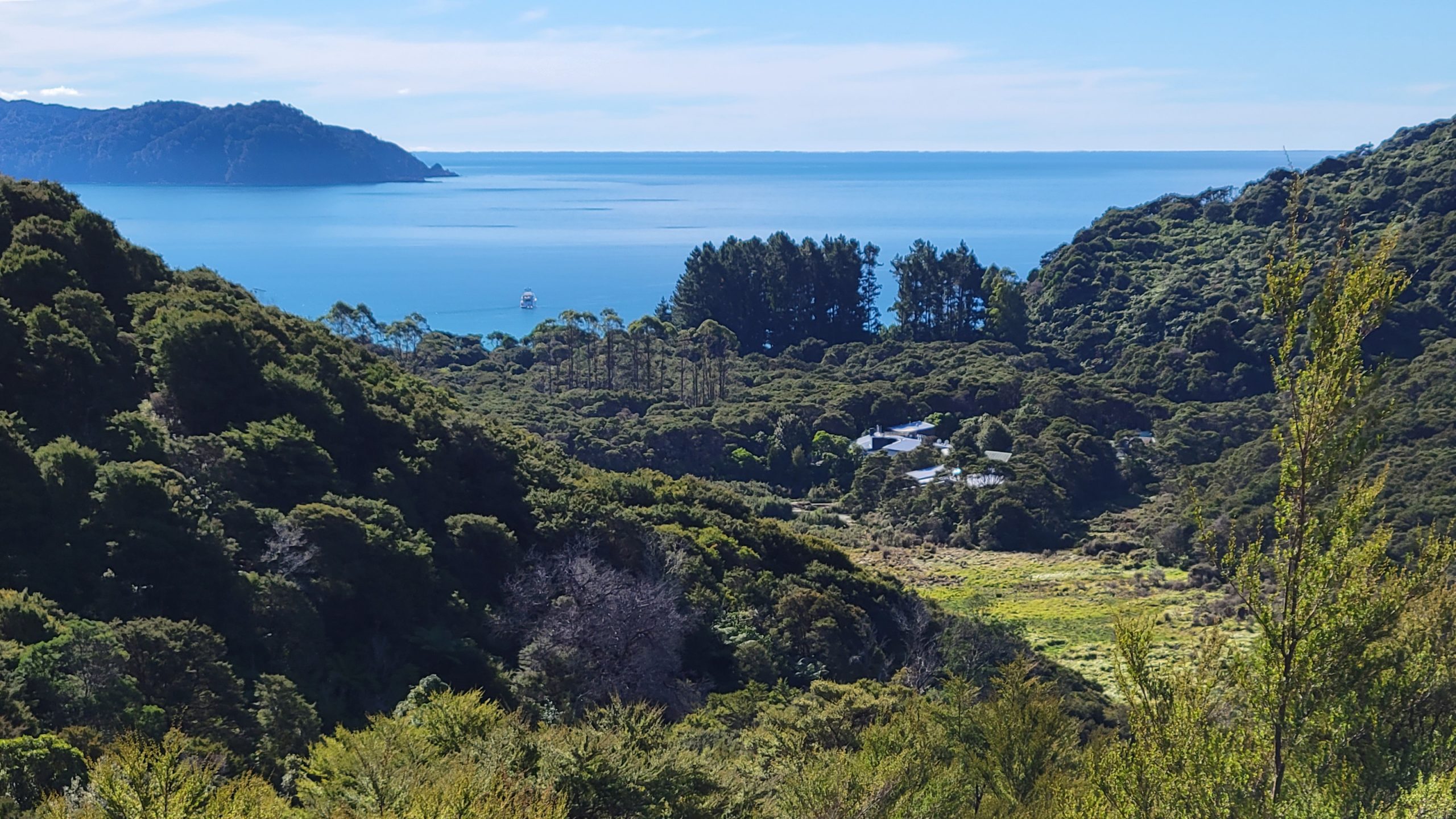
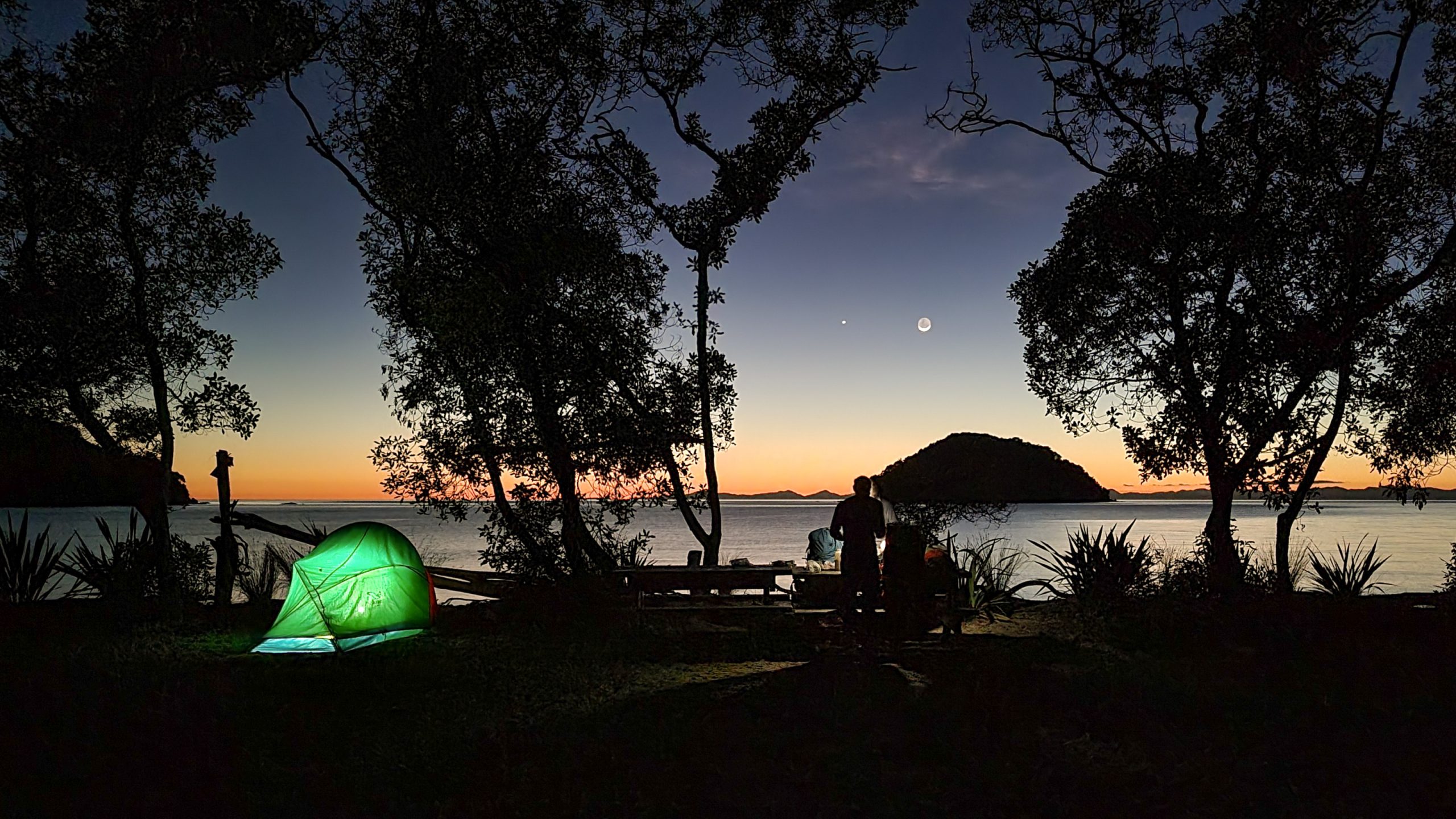
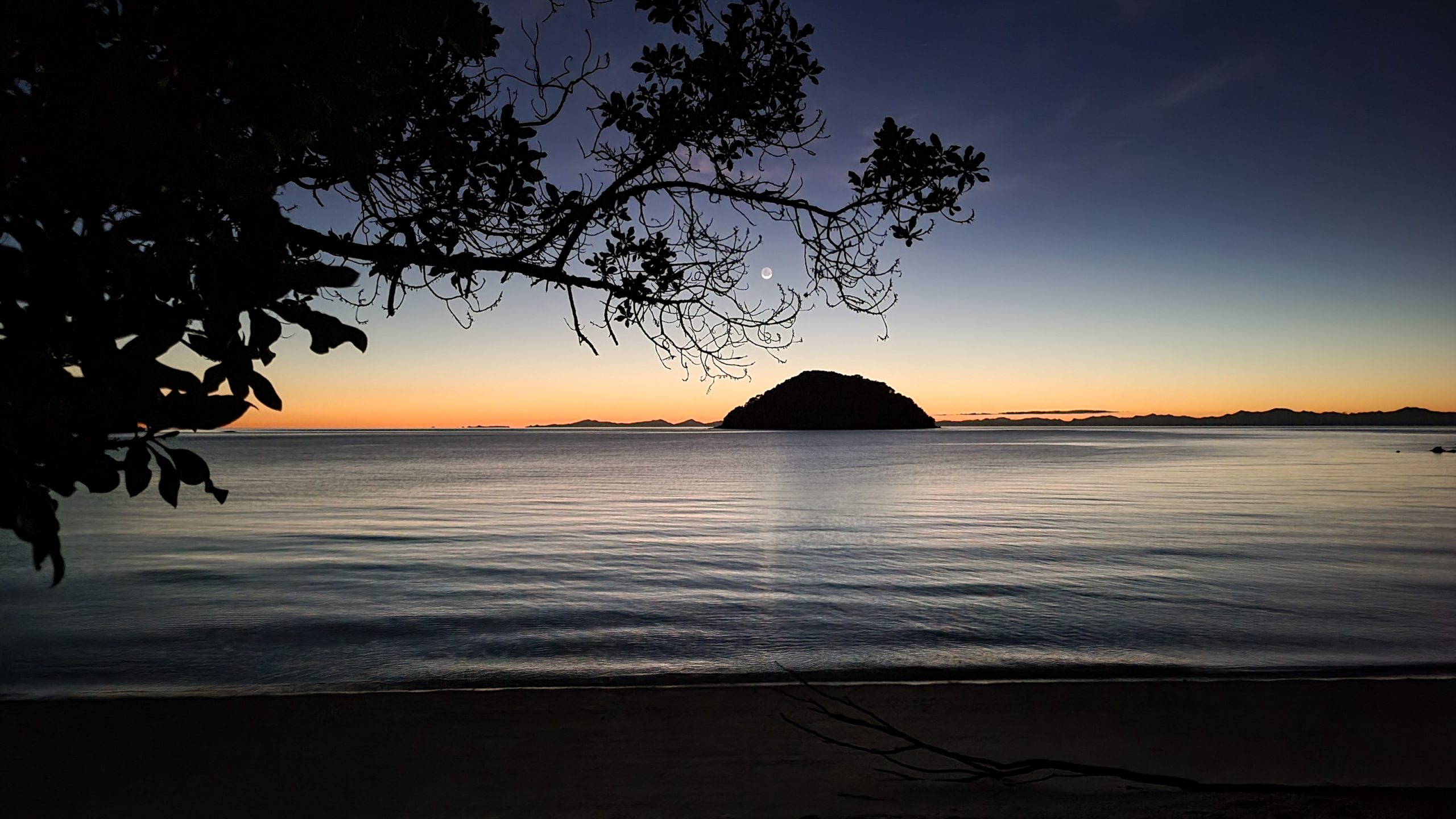
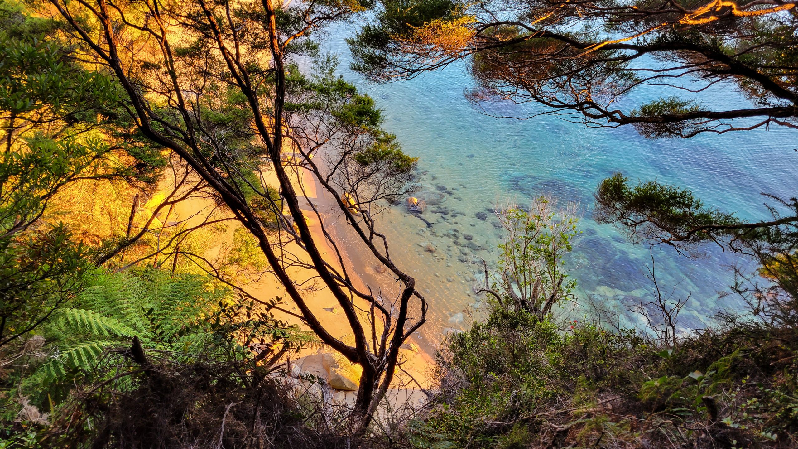
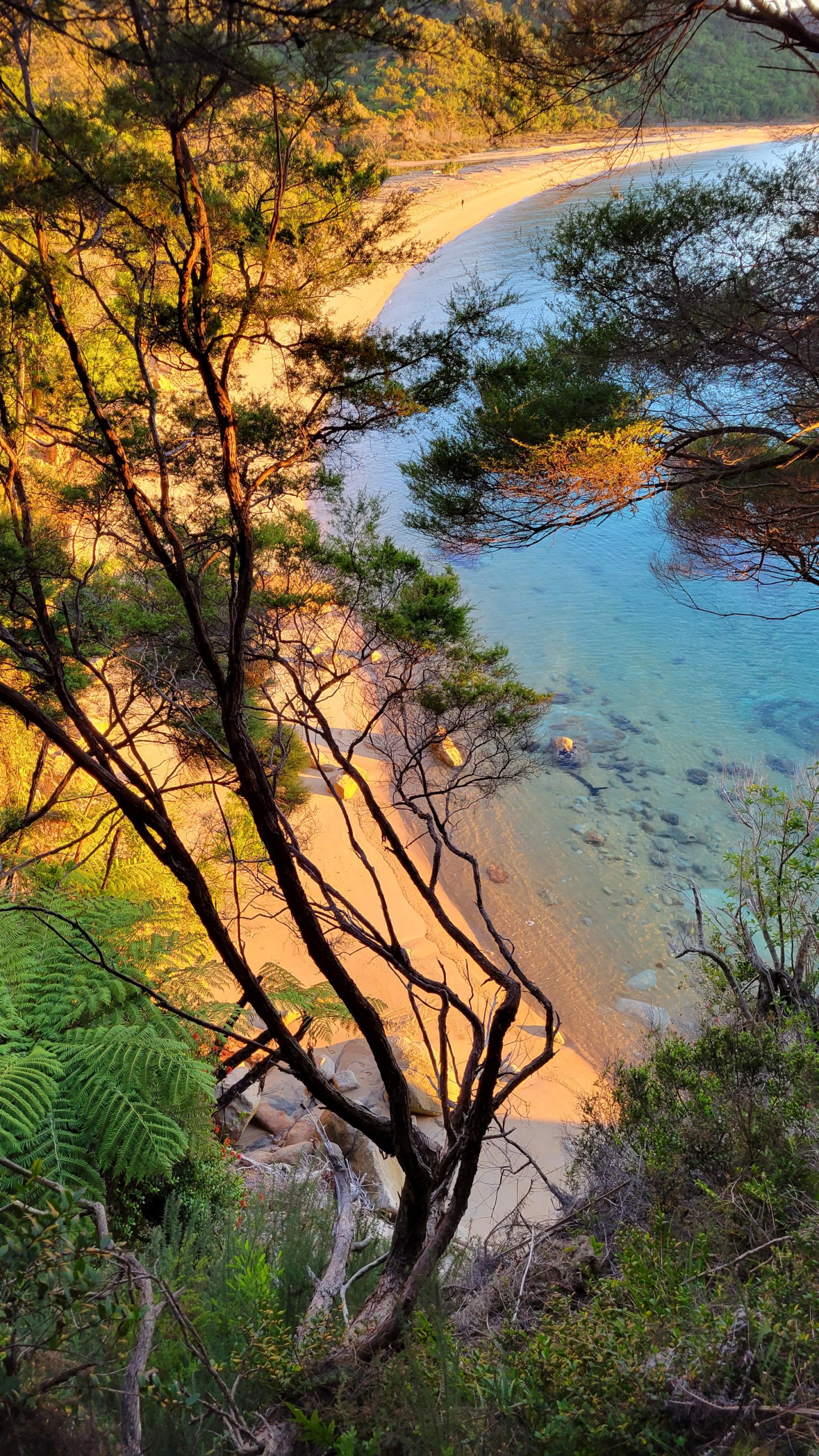
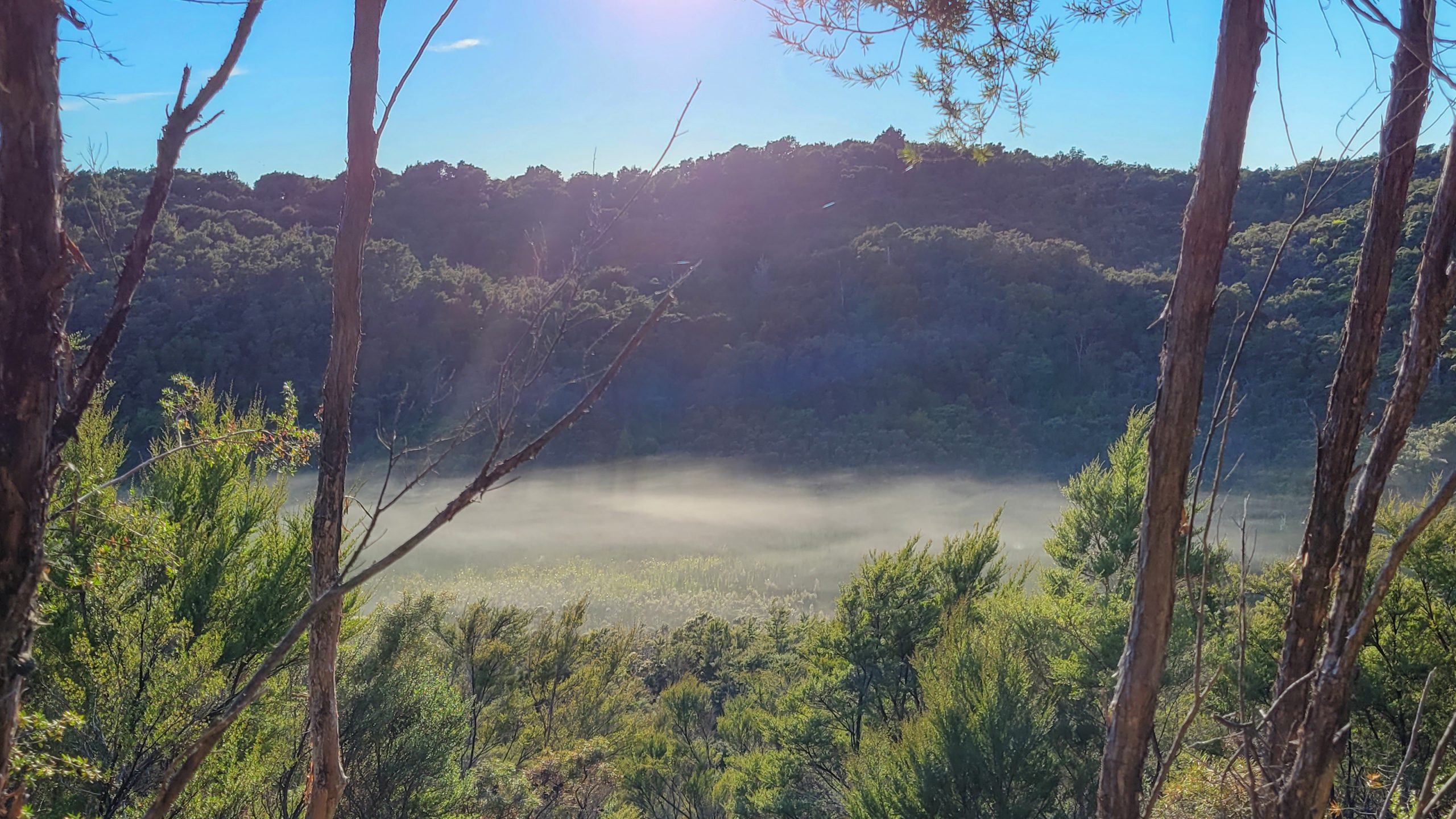
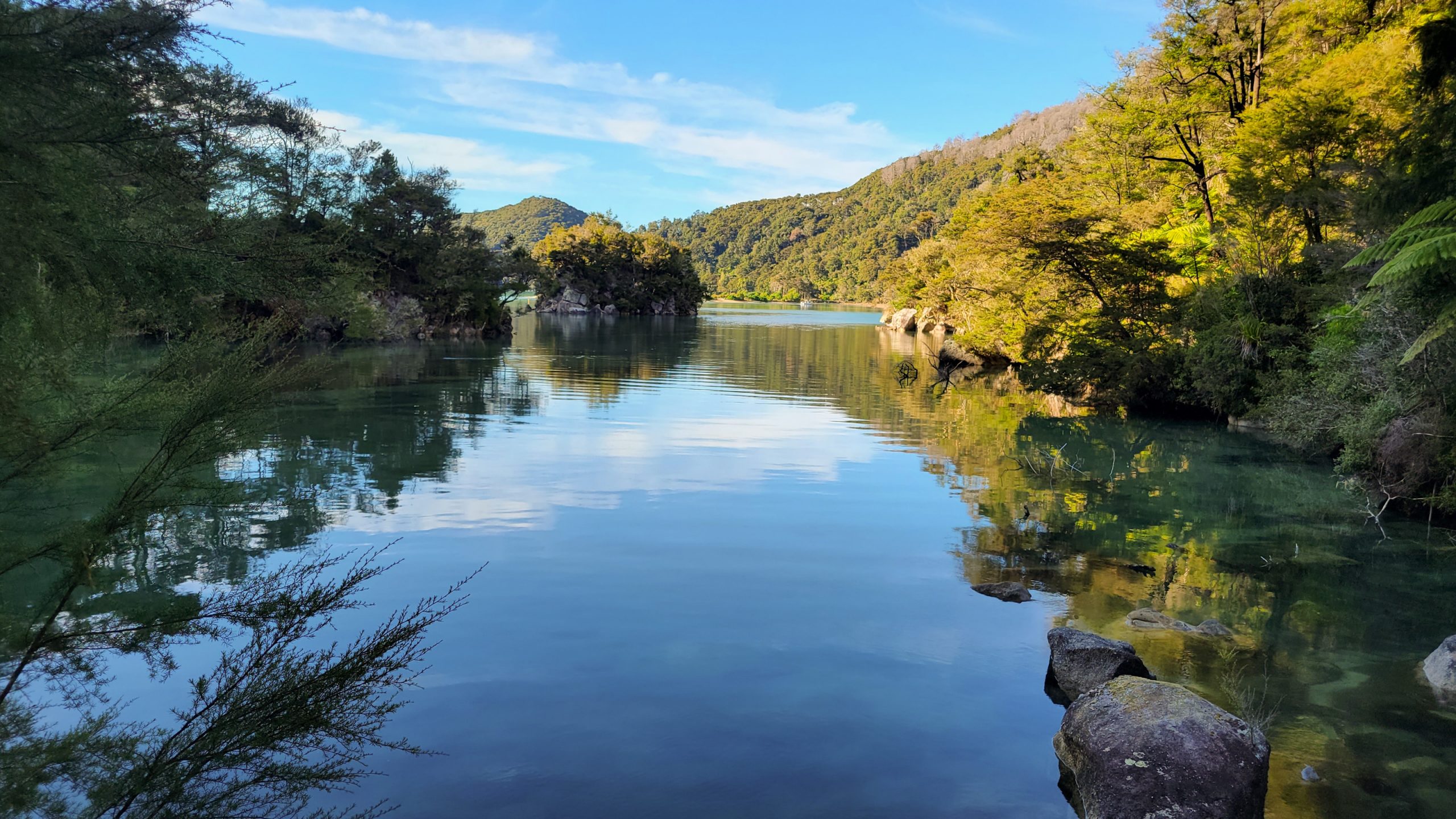
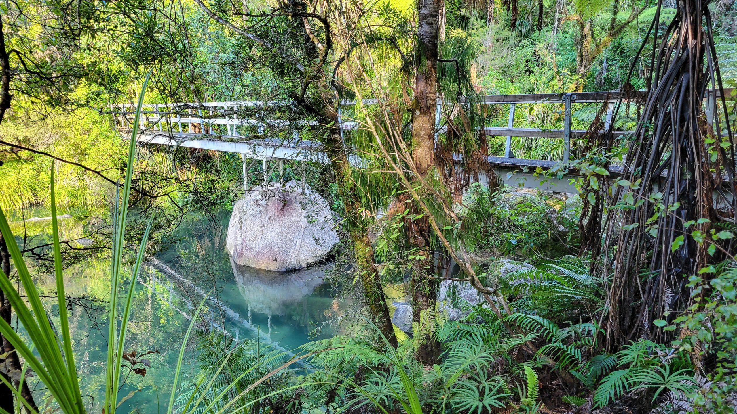
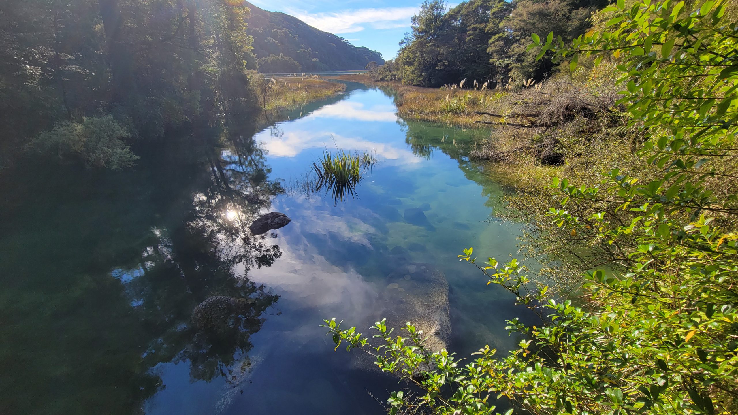
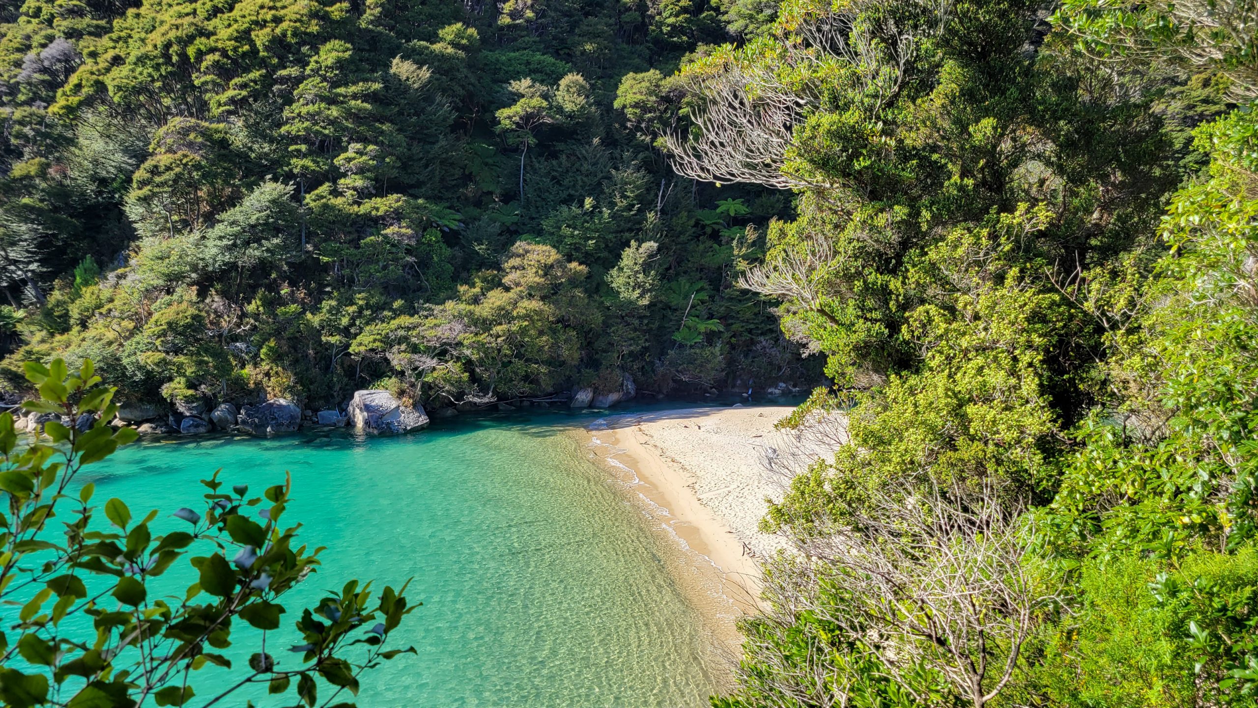
The moon over Tonga island as the day breaks, some of the campers are already up and everybody is watching the sun come up in awe.Time for breakfast. Thanks to the young women who gave me some band aids for my heel, I wouldn’t have made it otherwise!Just amazeballs.Walking up and down at the beach to warm up.Everything is packed by now, time to leave. Most beautiful setting for a camp ever! Will try to return one day.And up …Elevation gain is drastically, in no time I’m up the hill and on track again.It’s a bit chilly this morning, which is very nice, every now and then I sit down just to look out to the horizon.Or down to some very small band of sandy beach some 50 m down the bank.There’s nothing more inspiring than early morning sun rays :) I’m already reciting poems (to myself lol) that I was able to say by heart 30 years ago.Up and down the winding path goes.Last views of Tonga island.After the last bend the track went into dense bush, and right away a weka comes along on my lane.Punga (tree fern), and a young rimu tree, the most common native conifer you can find in New Zealand.Surprisingly there is fog in the soggy valley I’m just walking trough. How fitting for autumn :)And then it’s summer again. Up the hill, around a few corners and Bark Bay is on the map!The wide inlet wants to be walked around, the camp is on the sandspit.Pounamu green waters.If I wasn’t in such a hurry all the time lol, I would stay here the rest of the week.A kayak wouldn’t be bad, either.Almost around!Bridge over not at all troubled water.Green turns to black, but just because of the shade.Arriving at Bark Bay hut, and the weka is already here, can you see it?Views at Bark Bay hut.Nowhere else to go, but just in case you were wondering how long it would take.200 m, then the camp is on the left.Here we are. Lunch time!Another little rest I’m getting at the Medlands lookout.Such a cool balcony-looking vista point. Time for a short nap.That’s said beach, one of the smallest, but absolutely counts in the top 10 most beautiful.Ohhh, track’s high up, wide gorge, how will we get to the other side?BAMM! Swingbridge Alarm!Frenchman Bay between Bark and Torrent Bays.The most part of the last hours, the track was through woods, this is the first lookout to Torrent Bay.You got to walk through the whole “town” to get to the camp. If you do, pick the toilet at the marina, the outhouse at camp is not even worth mentioning.Because last night was chilly, the tent was packed a little bit damp, it hangs out to dry for a while before I put it up again. Trying myself with a sudoku. Put the pen’s broken plastic cover in my trash bag and carry just the inkchamber with ballpoint attached to it, it’s way more flexible and smaller. Yay.
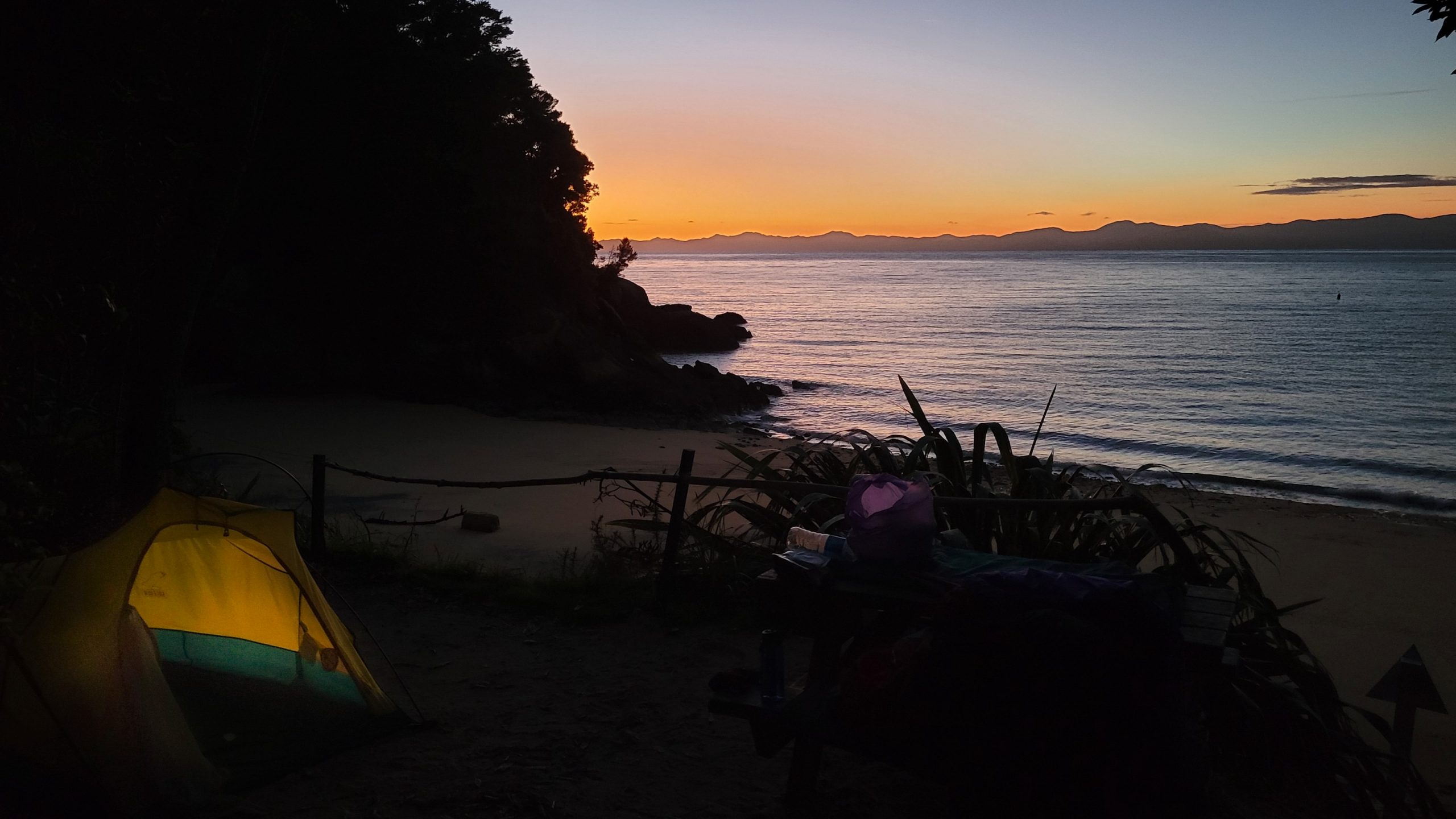
Day 5: Torrent Bay – Watering Cove
Watering Cove: Off the beaten track. Remember to have stopped here on a kayak trip once. Nobody joined me, a single woman tent camp!
Lol. Of course this day didn’t start at Watering Cove, but my powerbank was empty and the phone had just enough charge left for a few pics (or so I thought). So no track today, just the awesomeness of Watering Cove!Reminds me strongly of Cathedral Cove on the Coromandel peninsula. Just plus more trees on top.Perfect stone bridge in the tidal rim.And another little island. Two oyster catchers didn’t like my appearance.Putting up camp within the forest because it’s quieter. To be fair, I carried it to the water’s edge later because the wood was so farking dark that I couldn’t see my hand before my eyes.
Day 6: Watering Cove – Marahau
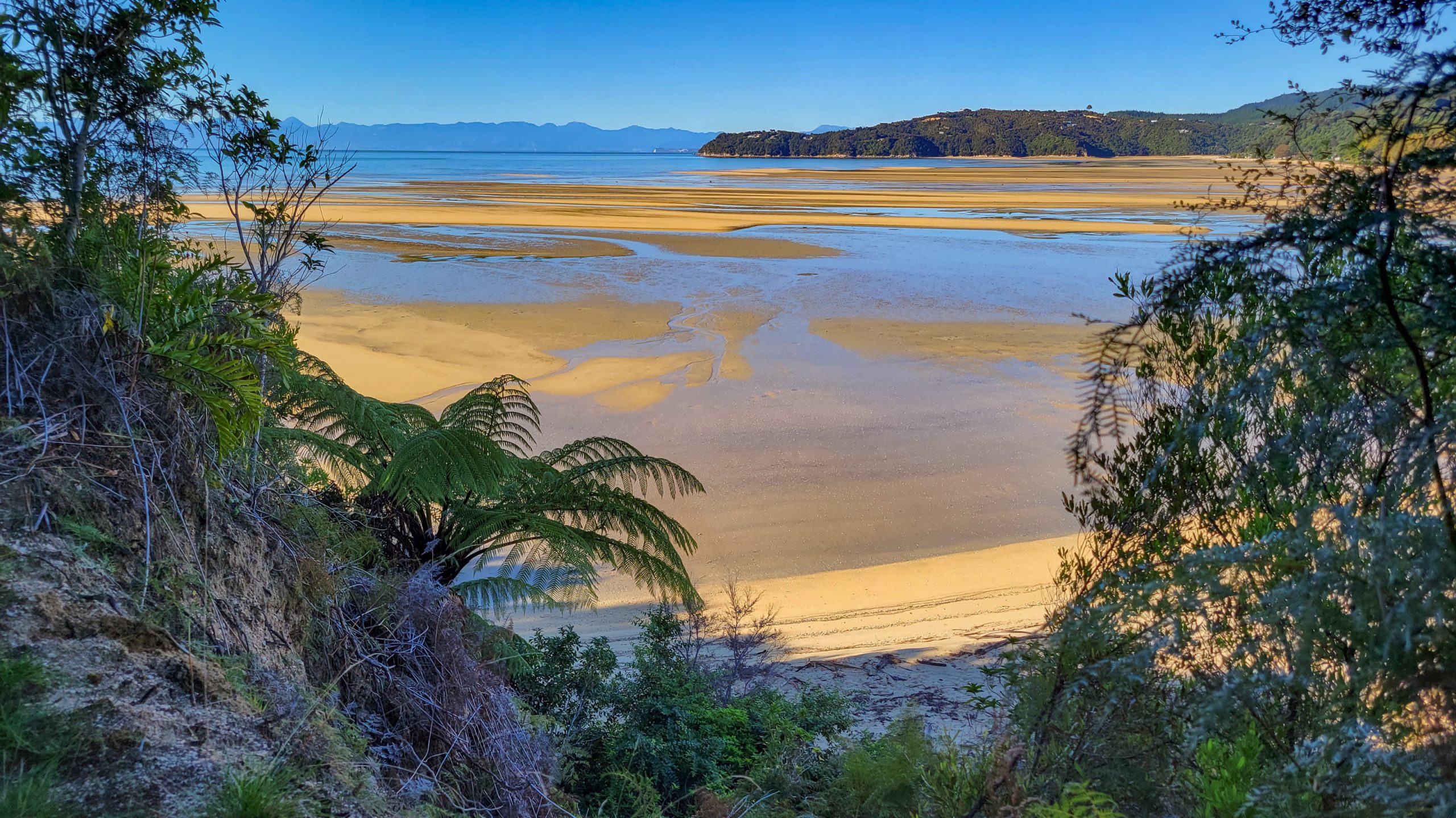
Waking up early again. Well, didn’t sleep very well anyways. The sounds here are different, more wekas, very loud waves.Last time packing up the gear and chattels, the backpack has become way lighter, which is good, because the first hour today will be UP.Good Morning Abel Tasman!From Watering Cove it’s just a few hours, with a steady rhythm it will be over before noon.Looking down to Appletree Bay.Just beautiful.Rata in bloom.Sad and happy at the same time seeing the Marahau mudflats.The last bridge, the last drop of sweat, the last look back.
Summary:
Favourite Beach: Goat Bay (clearest water), Onetahuti (soft sand), Bark Bay, Frenchman Bay, Sandfly Bay.
Worst Camp: Torrent Bay (the camp toilet is a joke), it feels like campers are not wanted there.
Best item on hike: The knife I found. Served as a shoehorn and flax cutter.
Worst item: The left shoe. I threw both of them out back home.
Do better in the future:
Better (and less) food.
No more daun sleeping bags (I’m allergic!!!)
Take band aids.
Bring a pen that’s attached to somewhere.
Try huts instead of tent.
Consider another route (Inland Track or a combination of both)
Bigger Powerbank, and while we’re at it, take the actual camera!