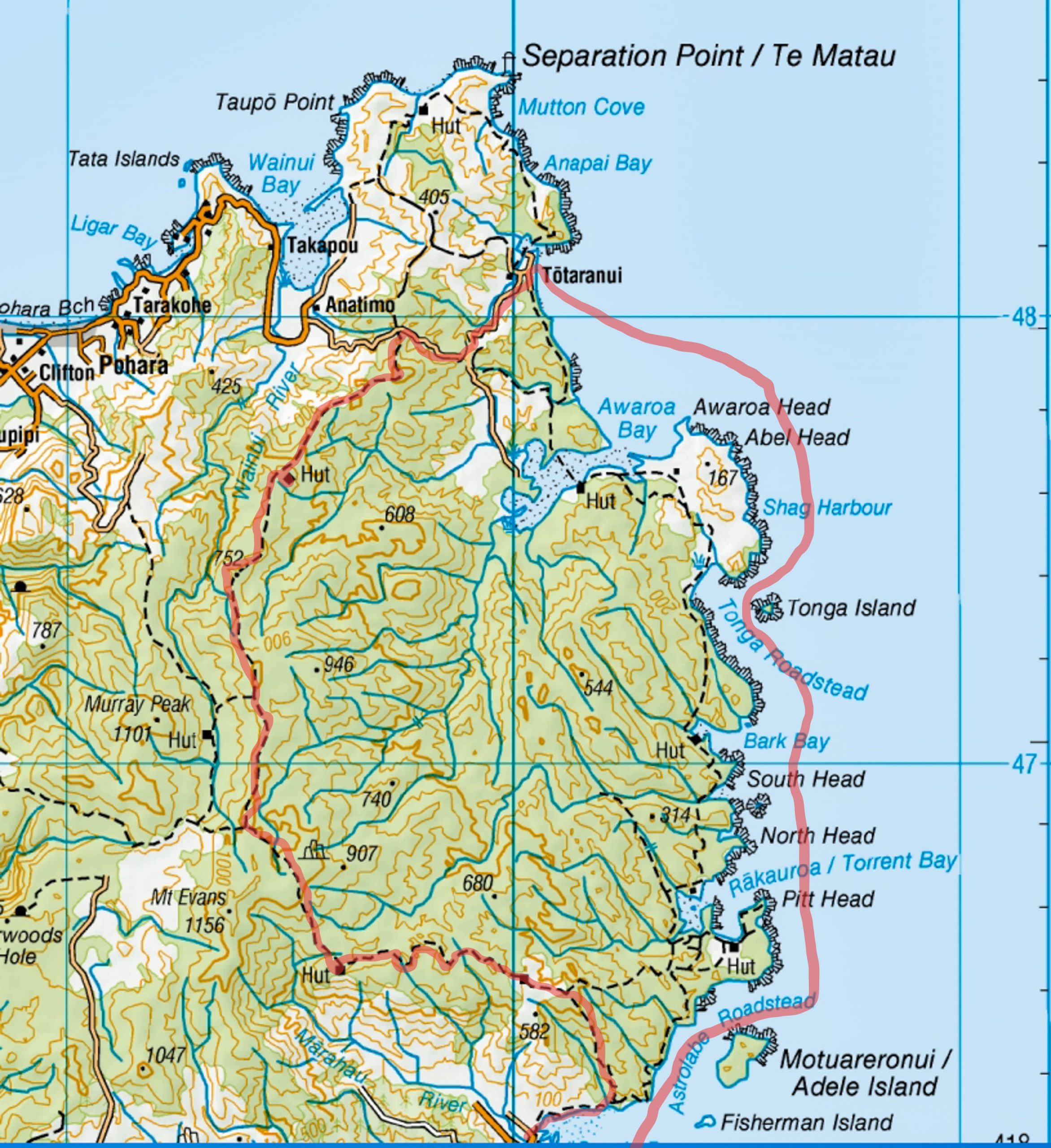
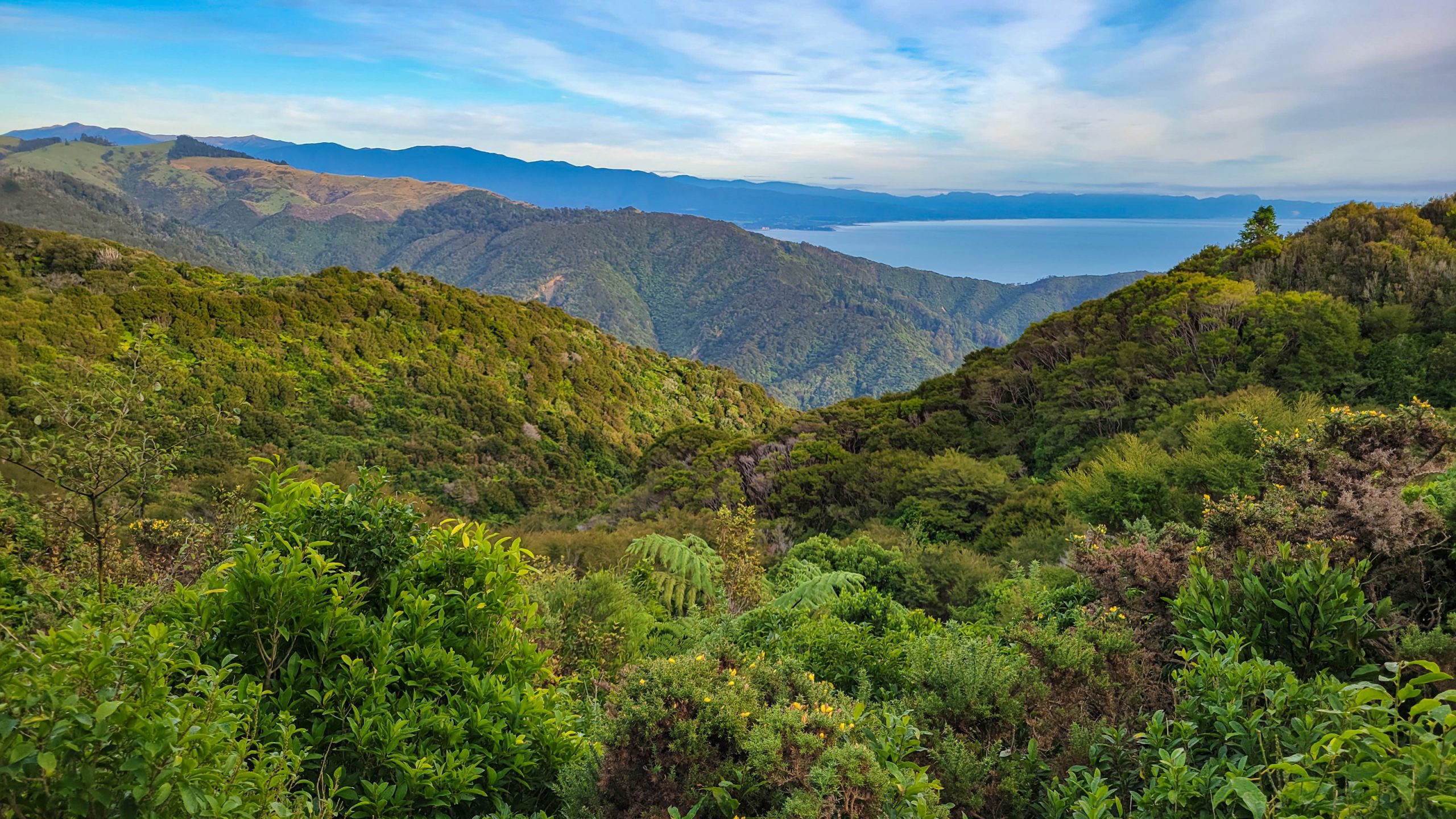
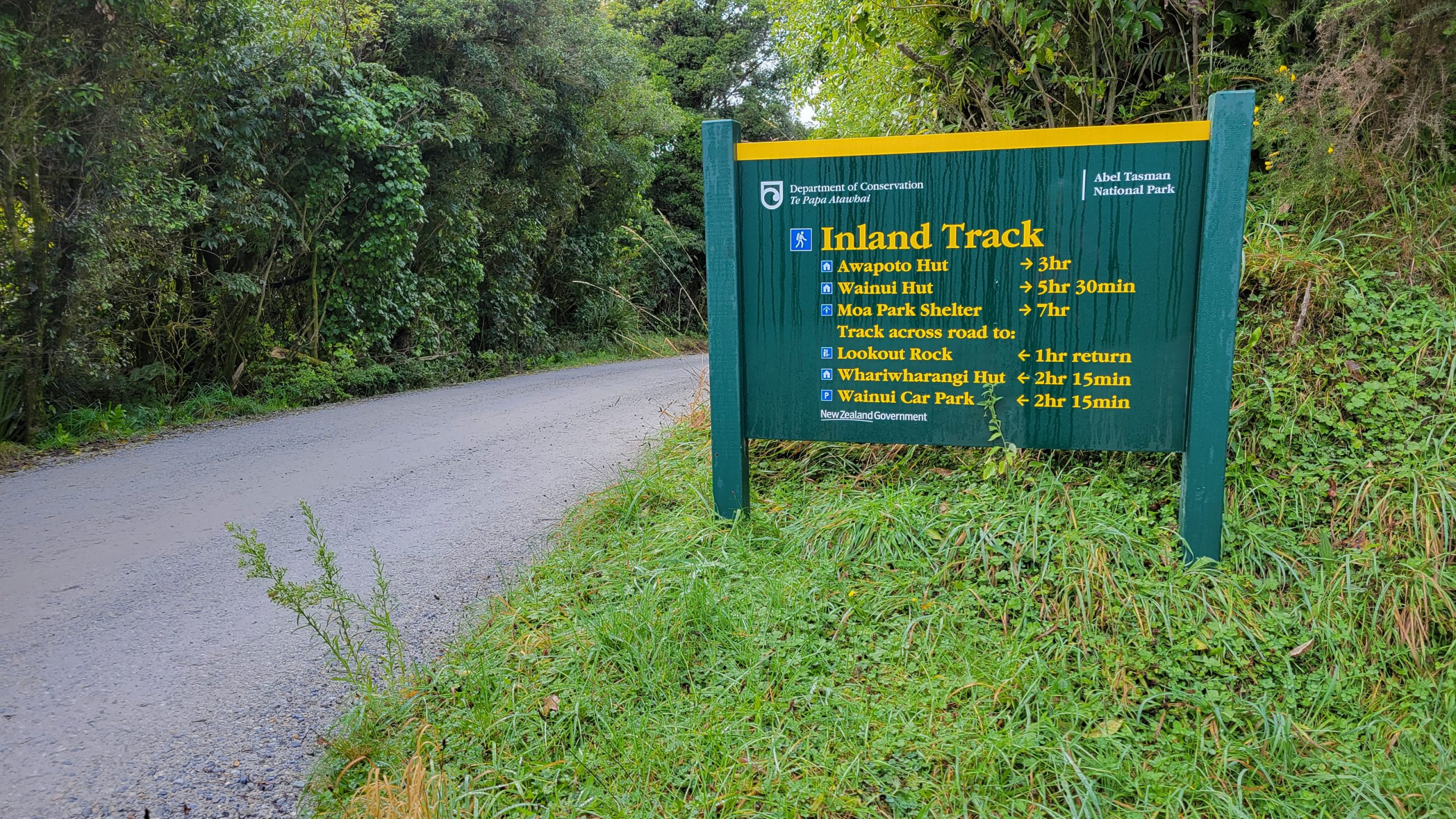
A one-woman hike from Marahau to Kaiteriteri via Pikikirunga. … Sounds weird, well I should add that it included a 40 km kiwi tramp through thick forest from Marahau, up to the Takaka Hill table land, along Evans Ridge, down to Pigeon Saddle on Totaranui Road, further to the Totara camp and back with the Sea Shuttle. Last year I did the Coastal Track, a nice, flat motorway compared to the utter jungle that awaited me up the hill. Nonetheless glad I did it, it’s a whole other world in many ways!
Day 1 – 27.4.2023 – Marahau to Castle Rock Hut 15.1 km, 720 m in elevation, 5.5 hours (turned out to be 10 hours)
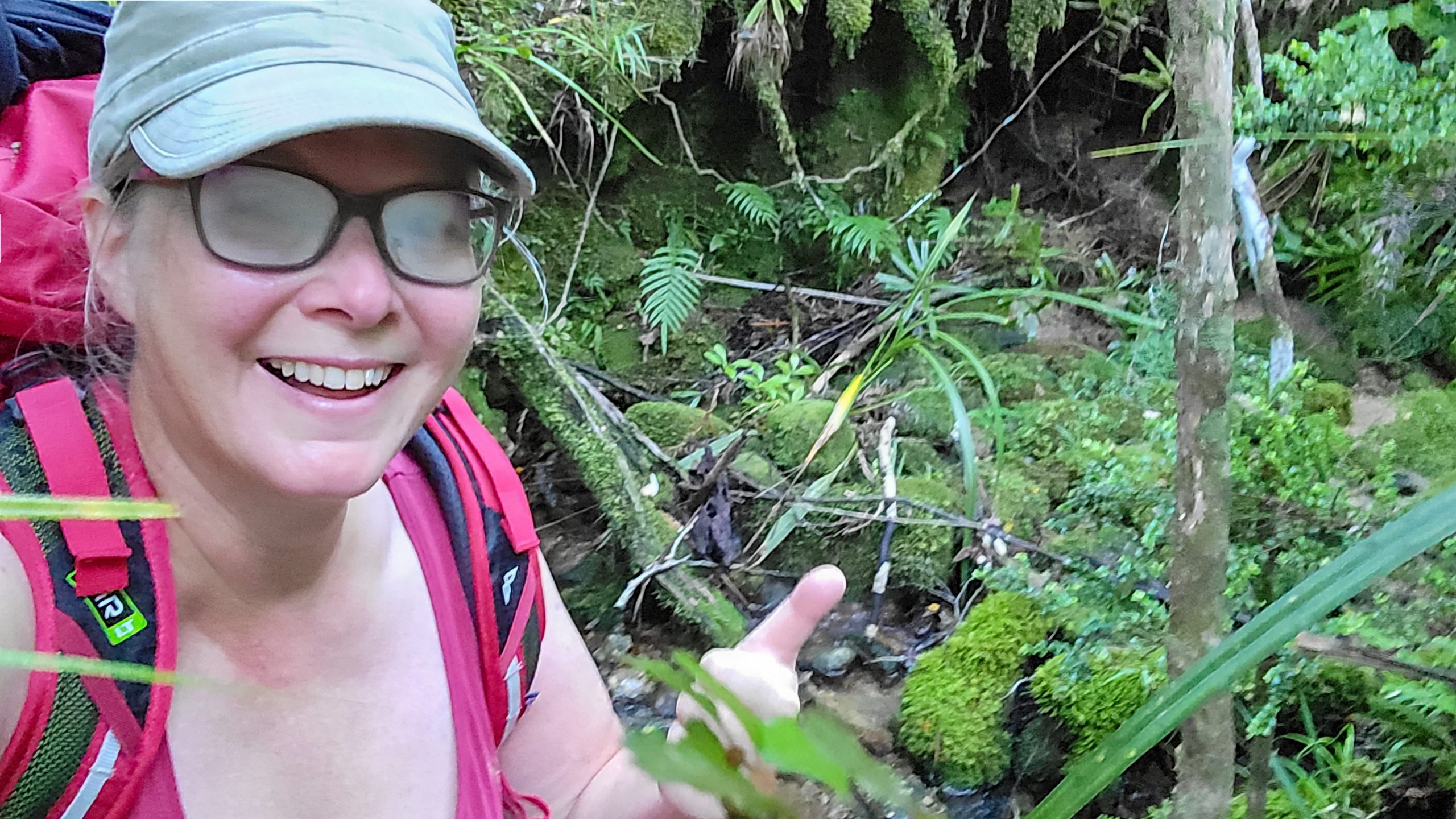
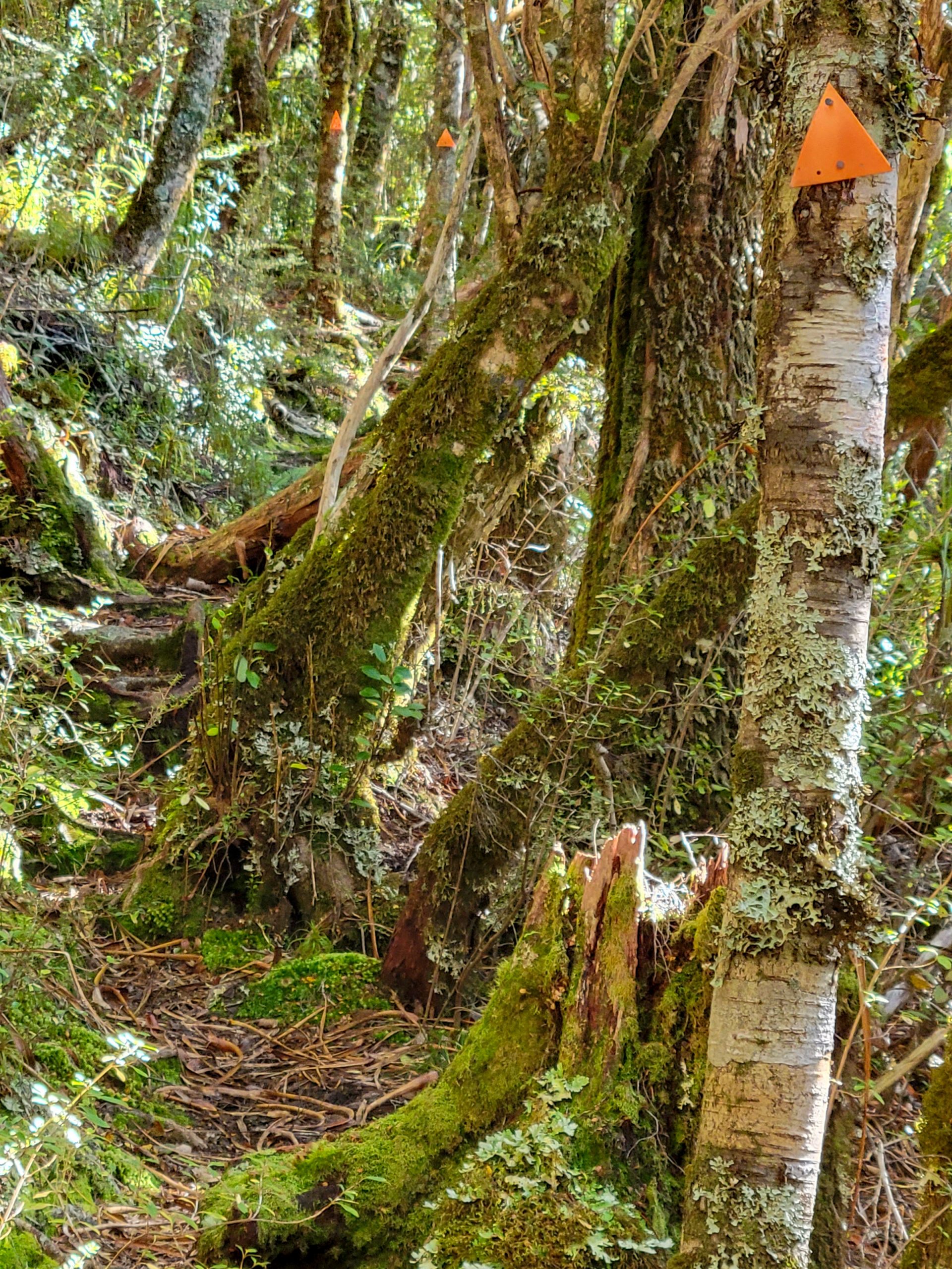
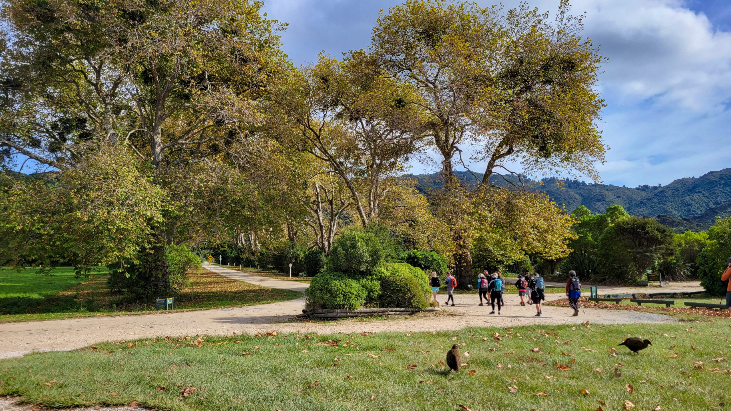
Got up 6 am, at the park entry at 7 am, it was still just before sunrise. I had a beautiful start and also made my first mistake: used google maps to navigate. Don’t. Ever. And especially not for this track. It’s hundreds of metres off and lead me to believe I was right walking up Tinline walk, expecting the Inland track to start on top, but it didn’t and next thing I was roughing a wild pig path north until I found the real track. 2 hours unnecessary distraction! A good cellphone reception and quickly set up NZ Topo maps helped me out of this mess…
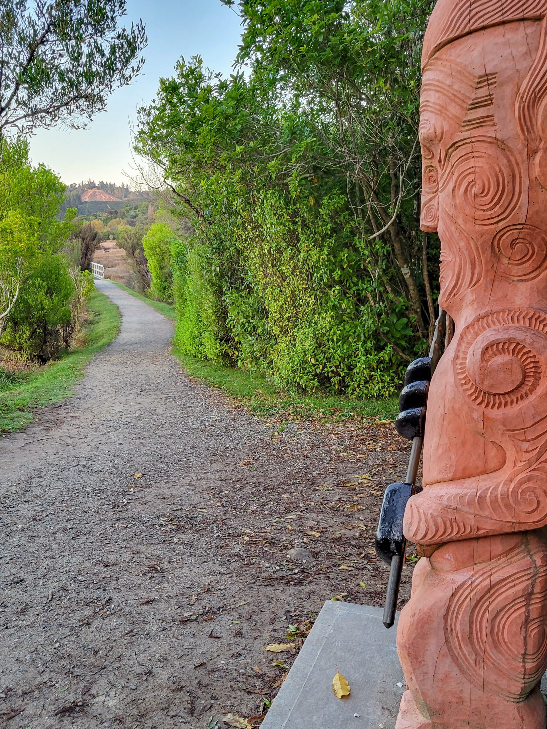
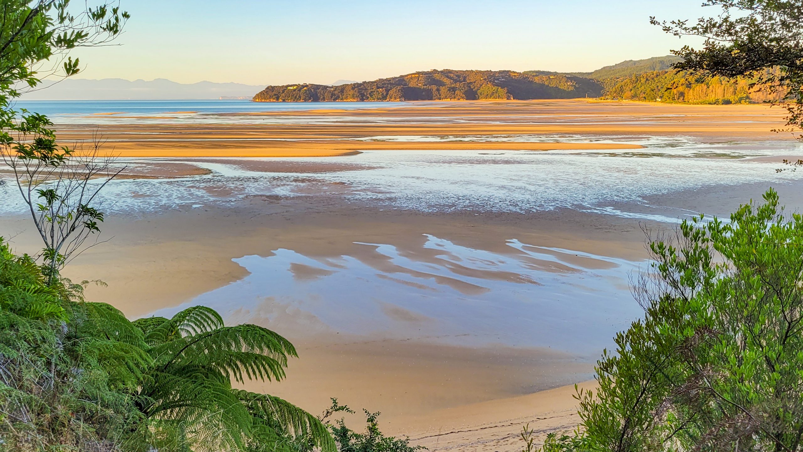
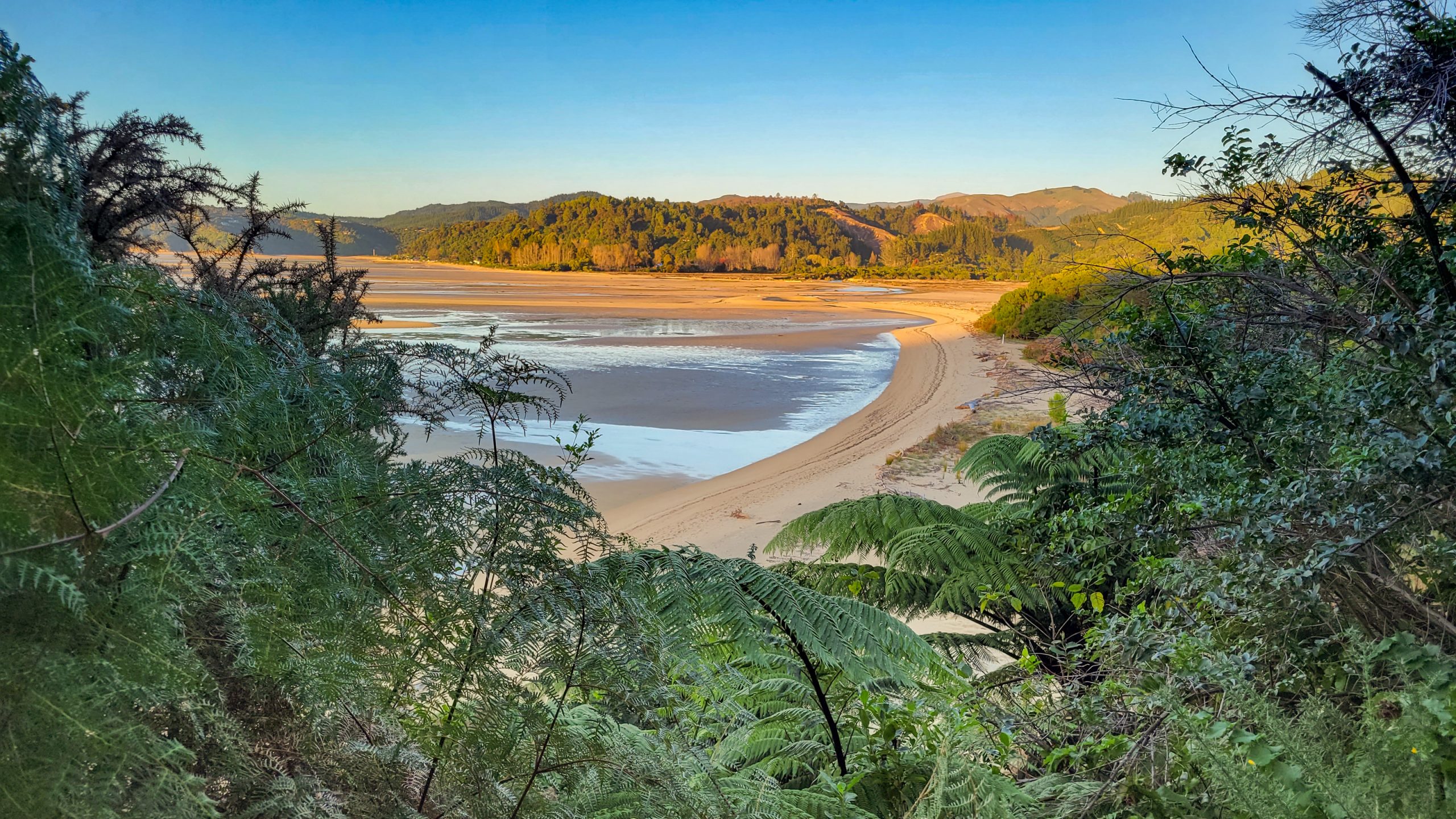
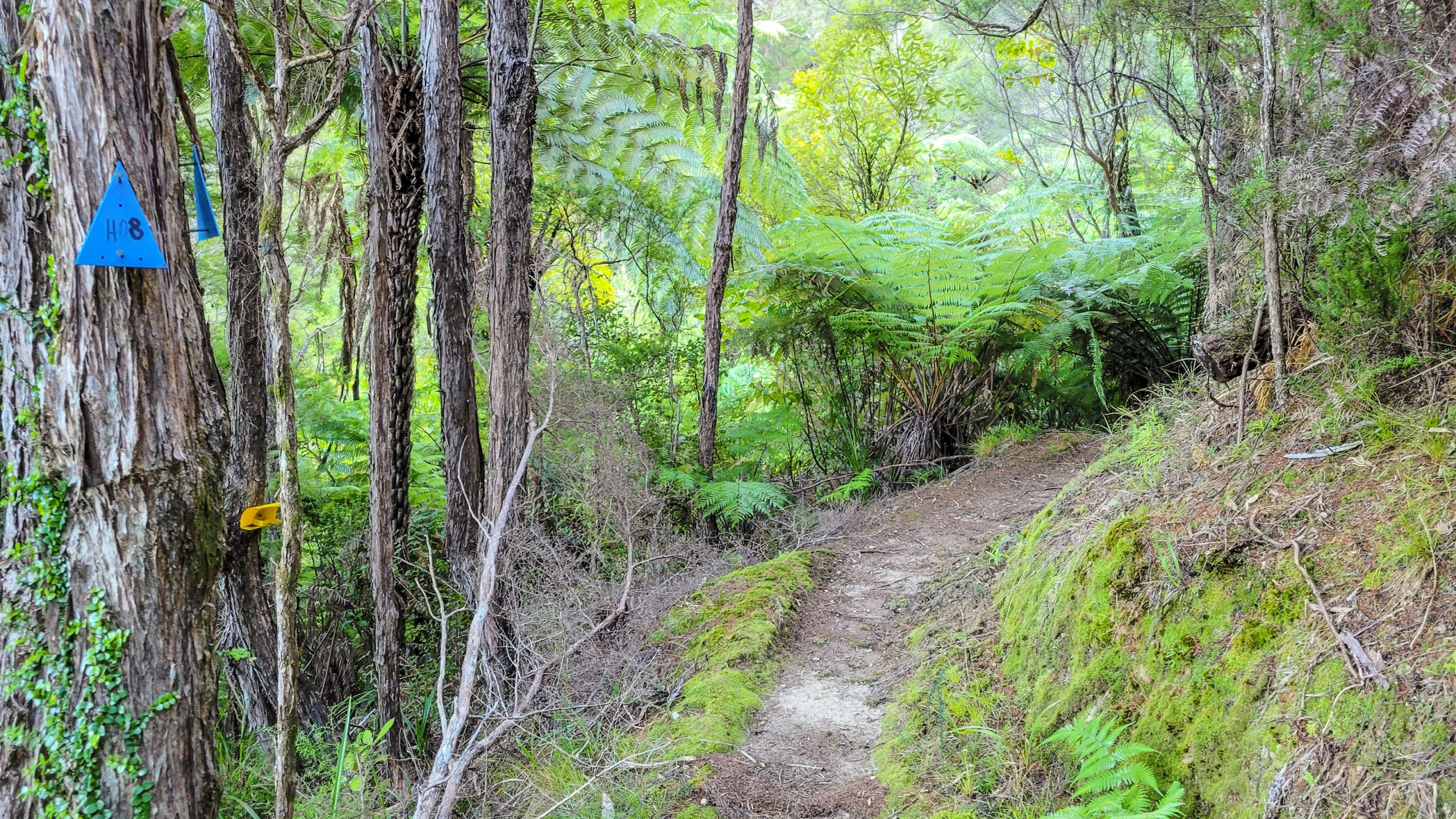
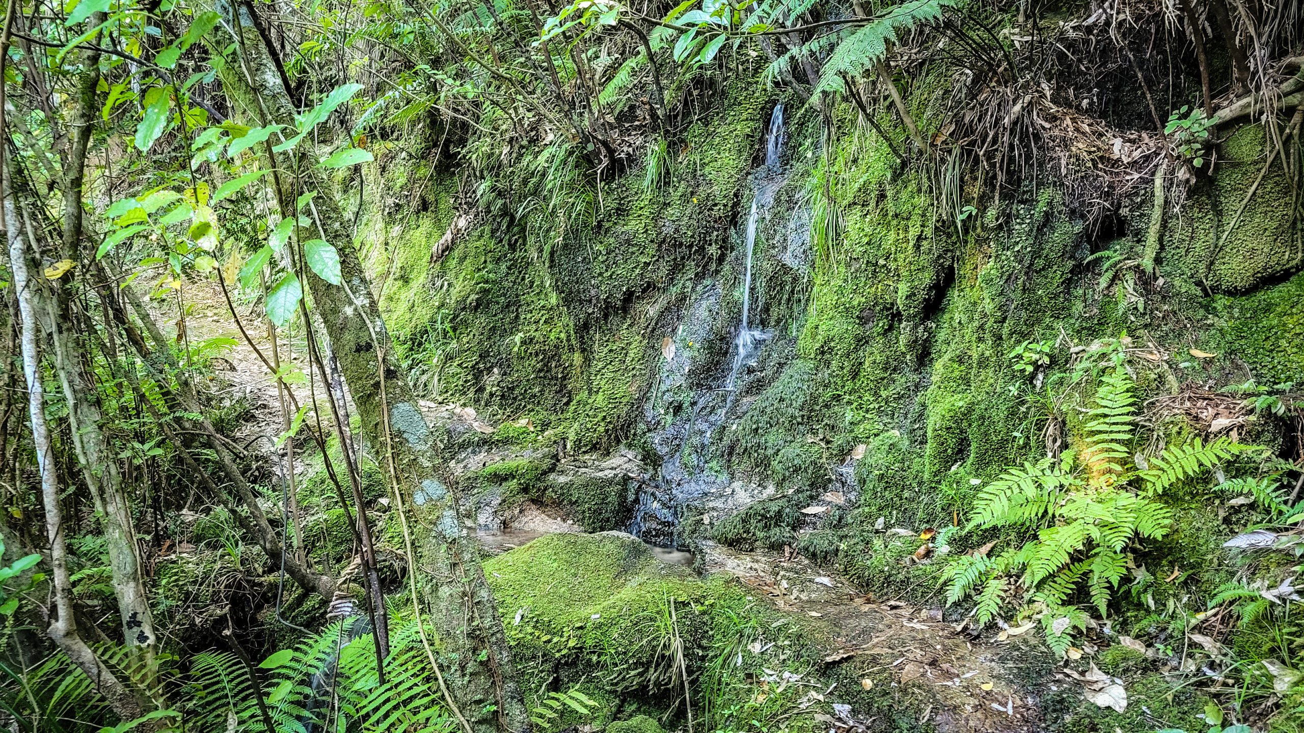
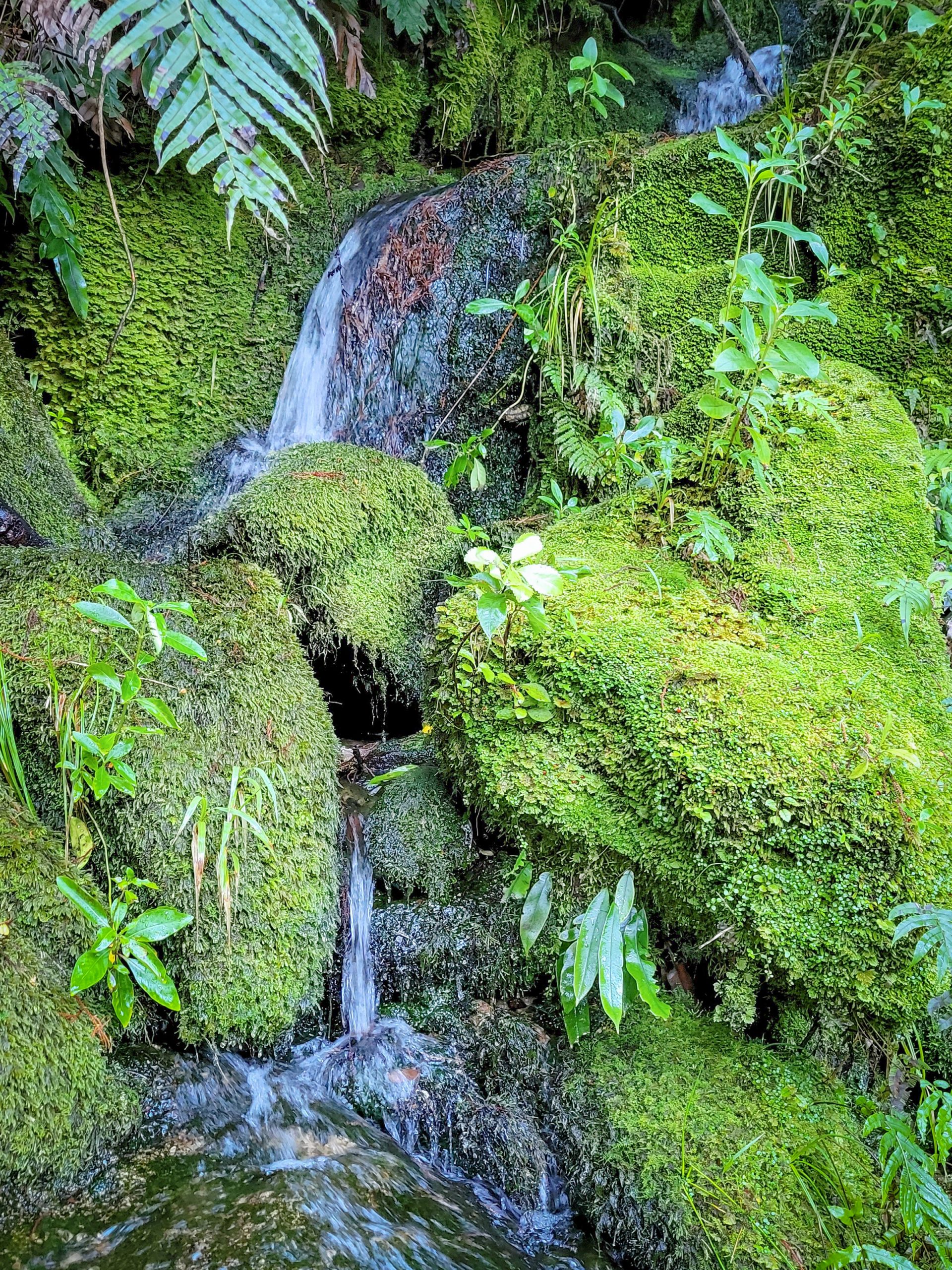
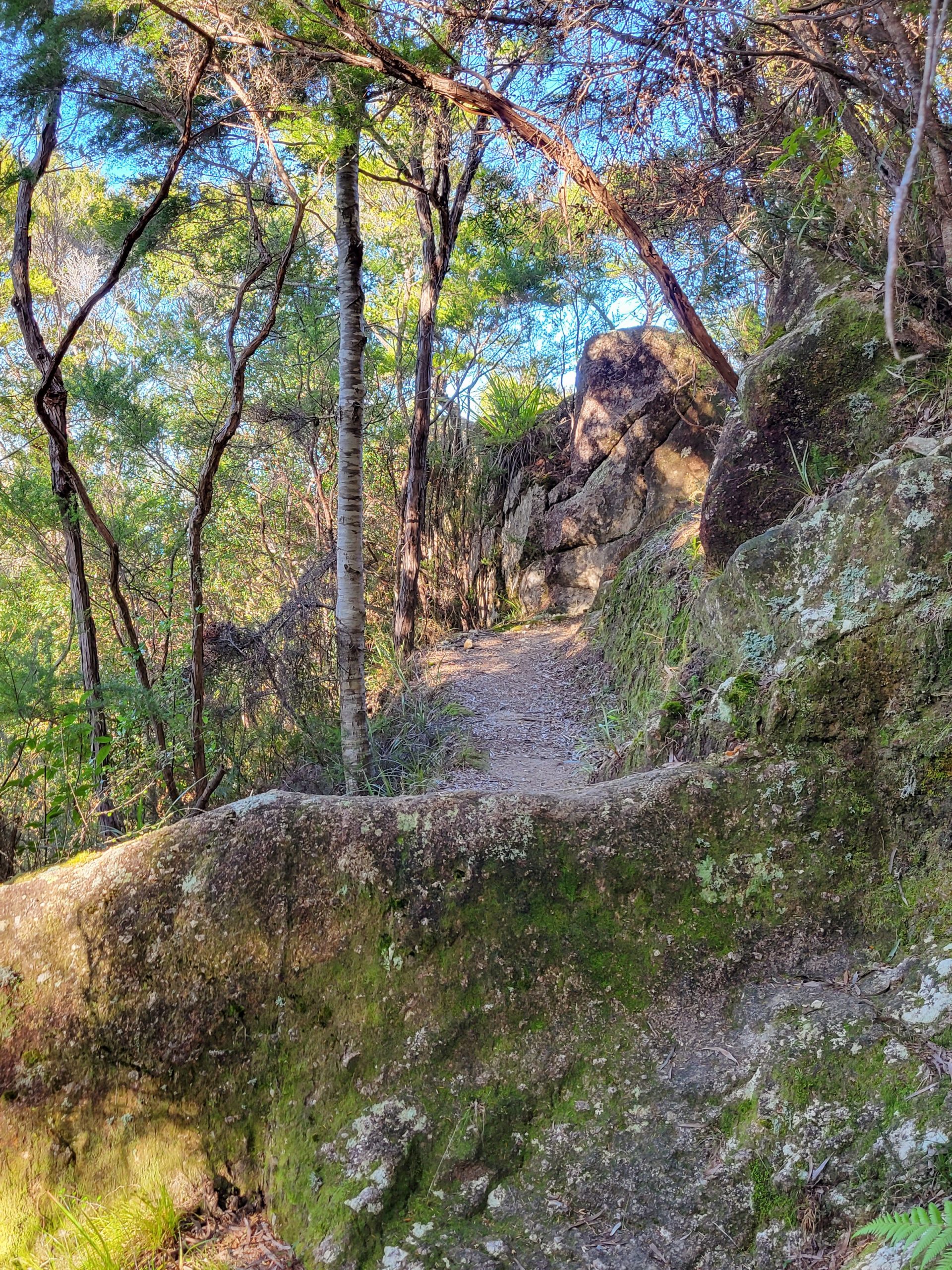
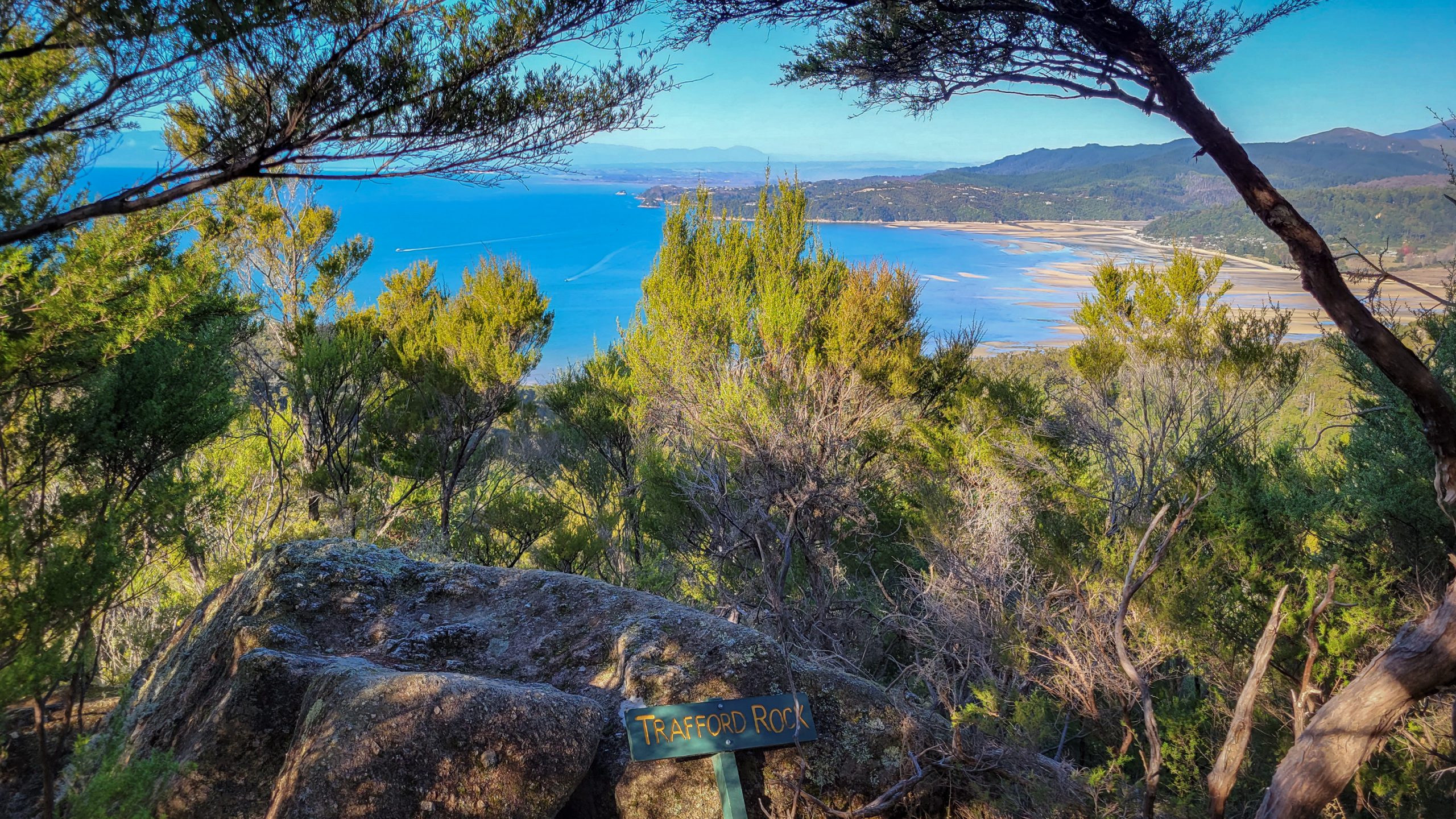
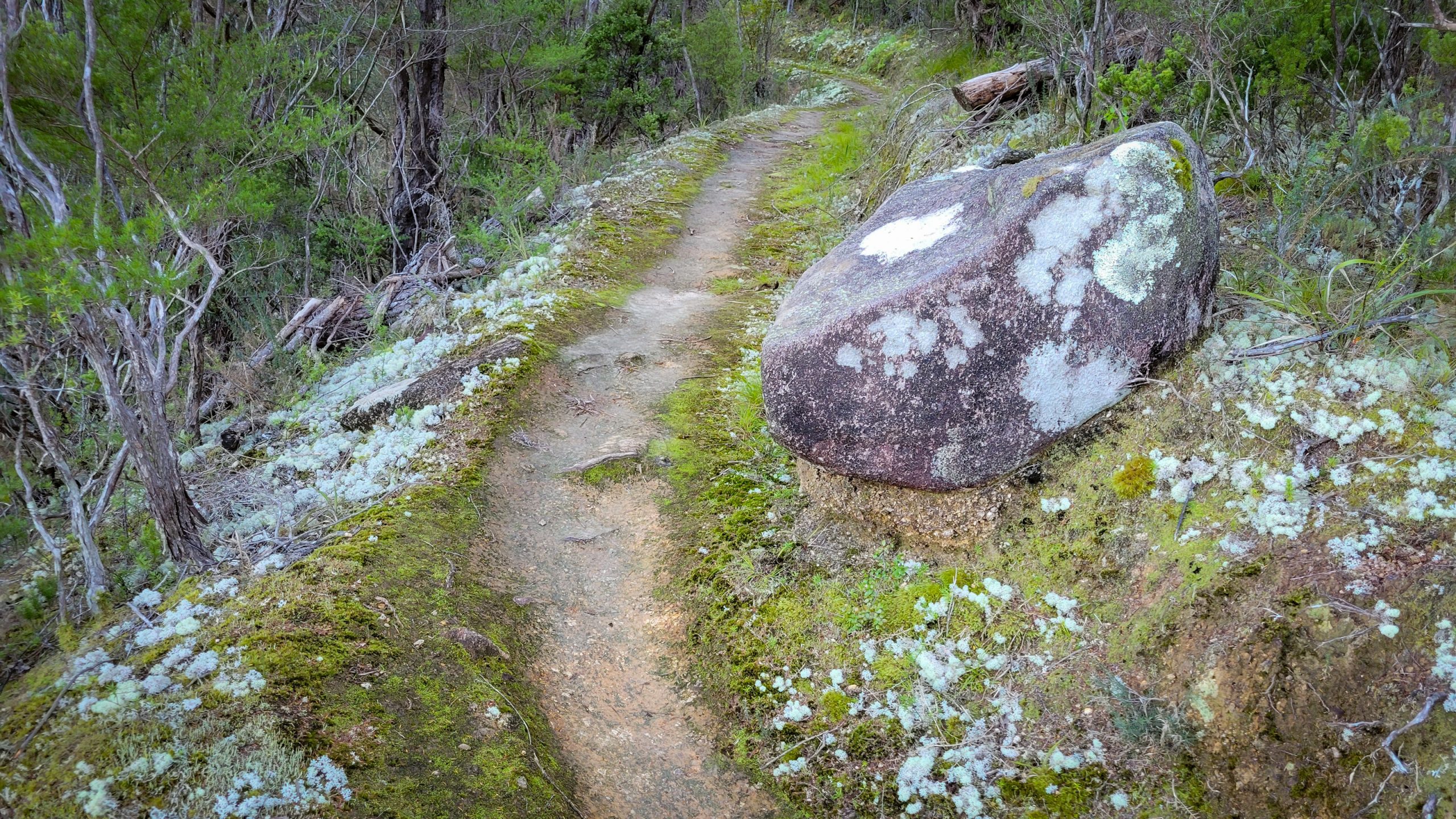
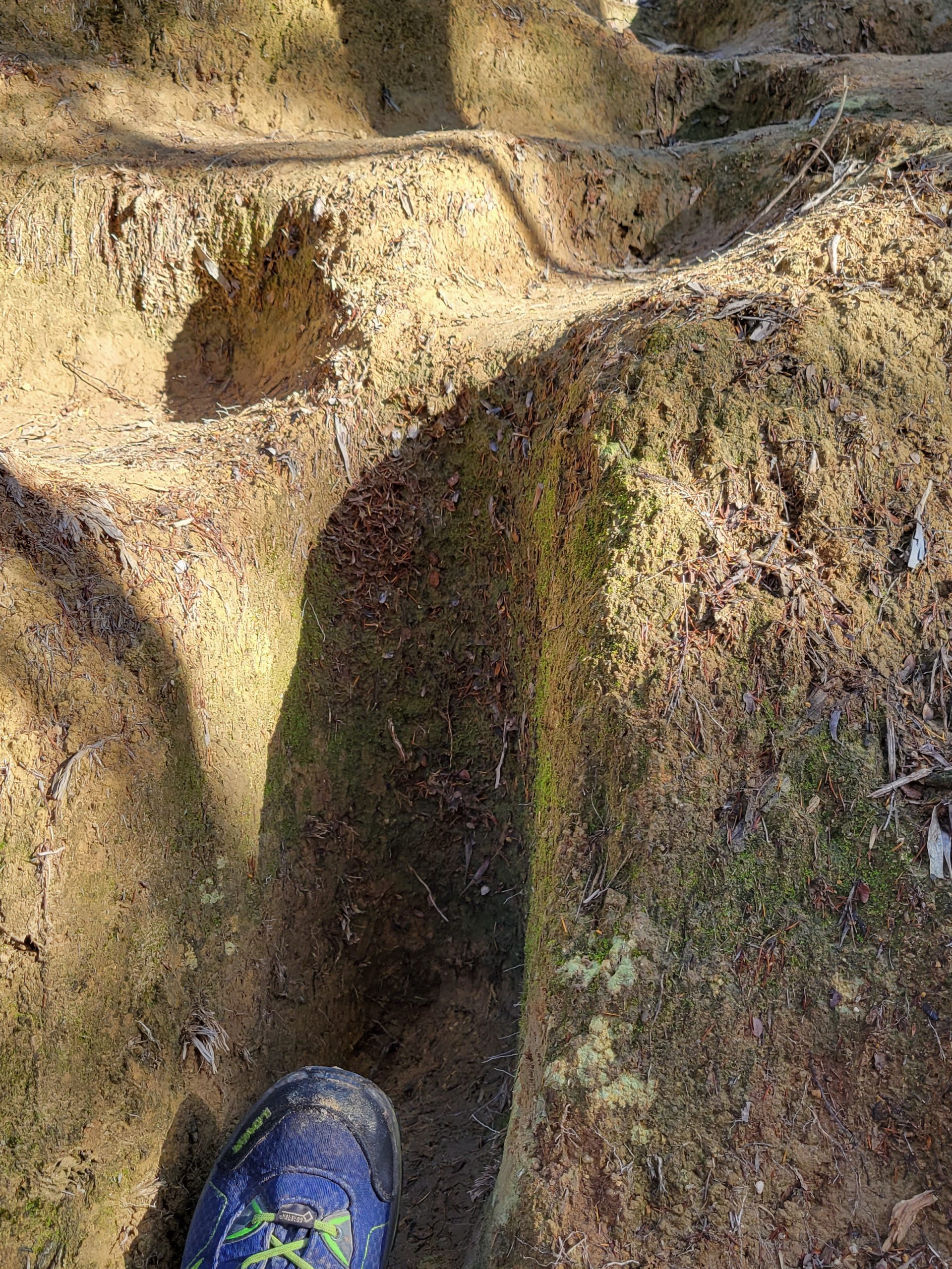
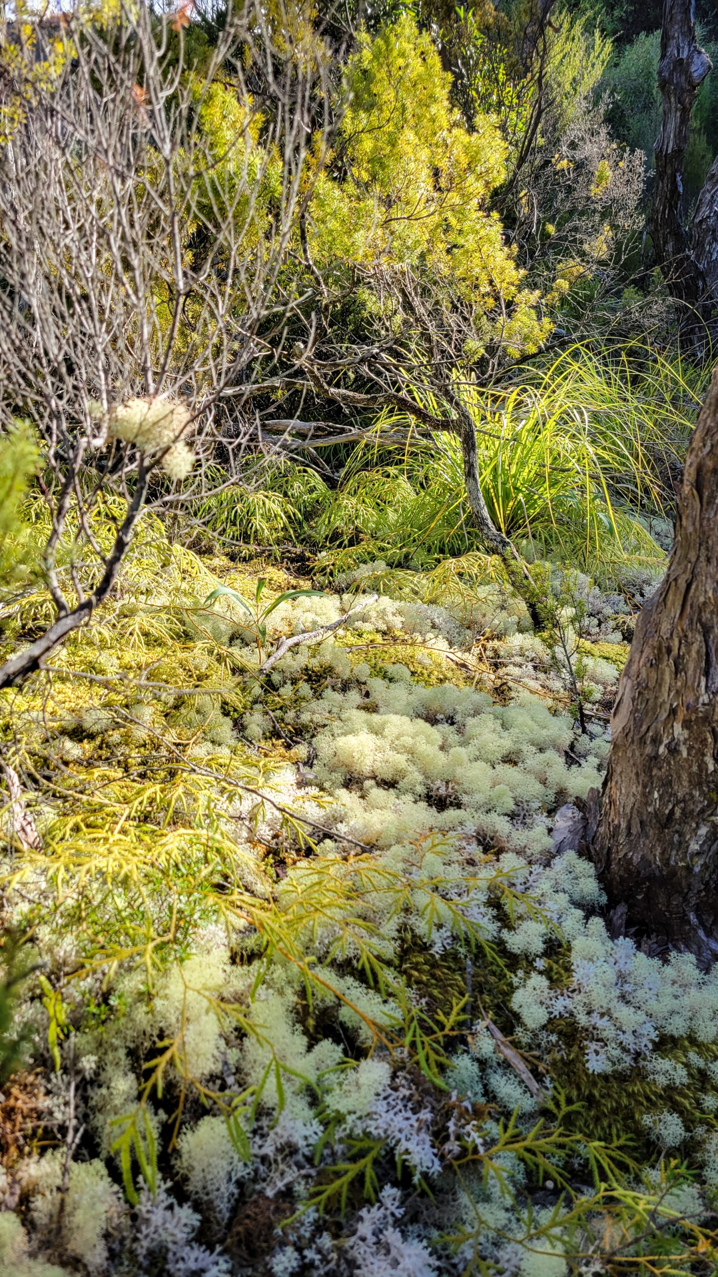
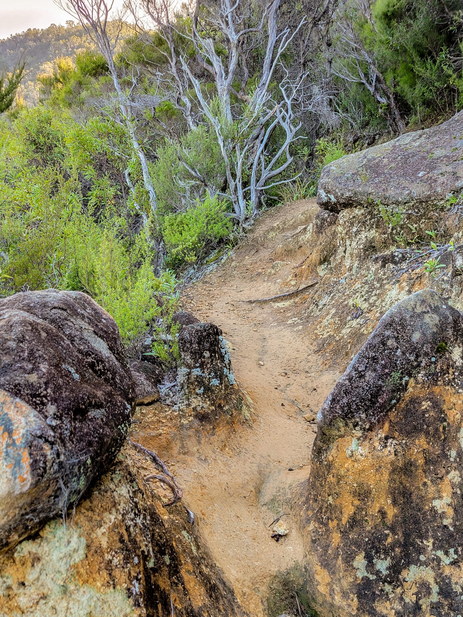
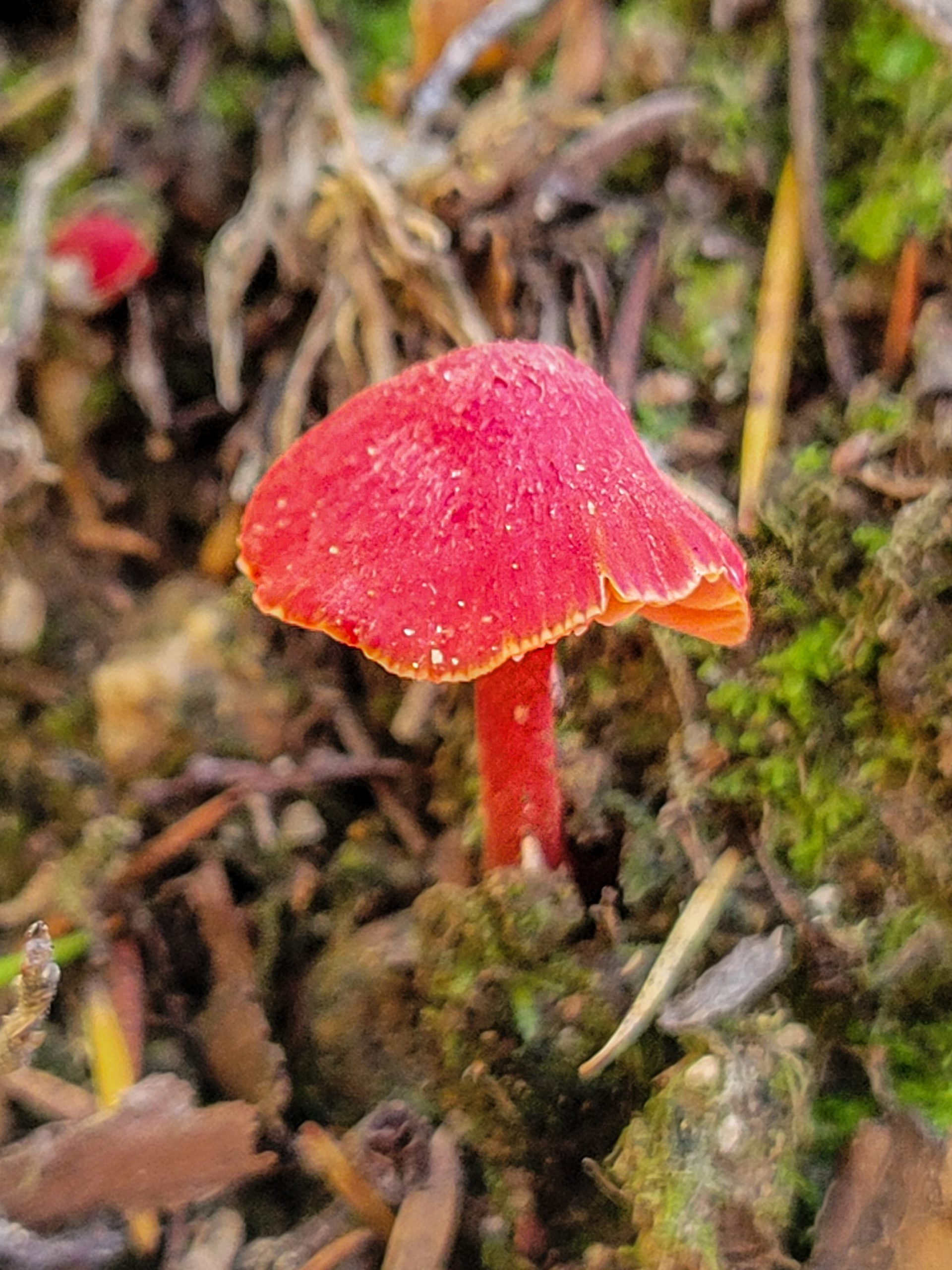
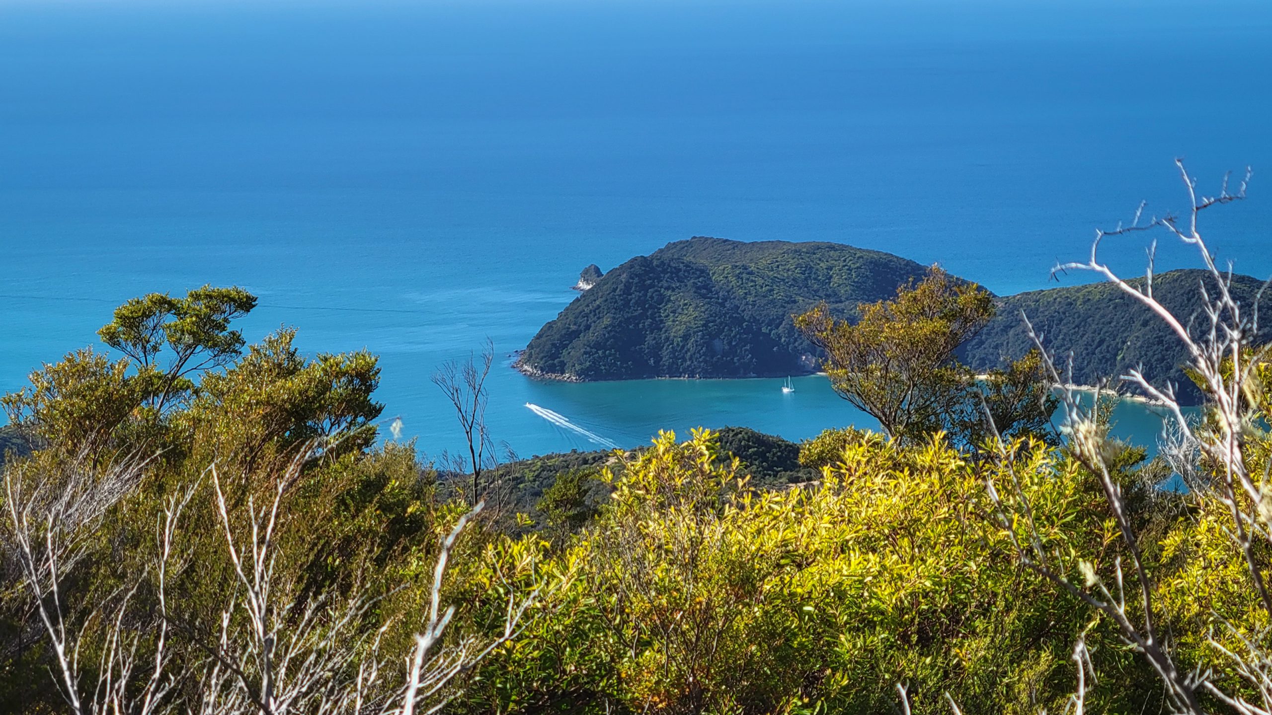
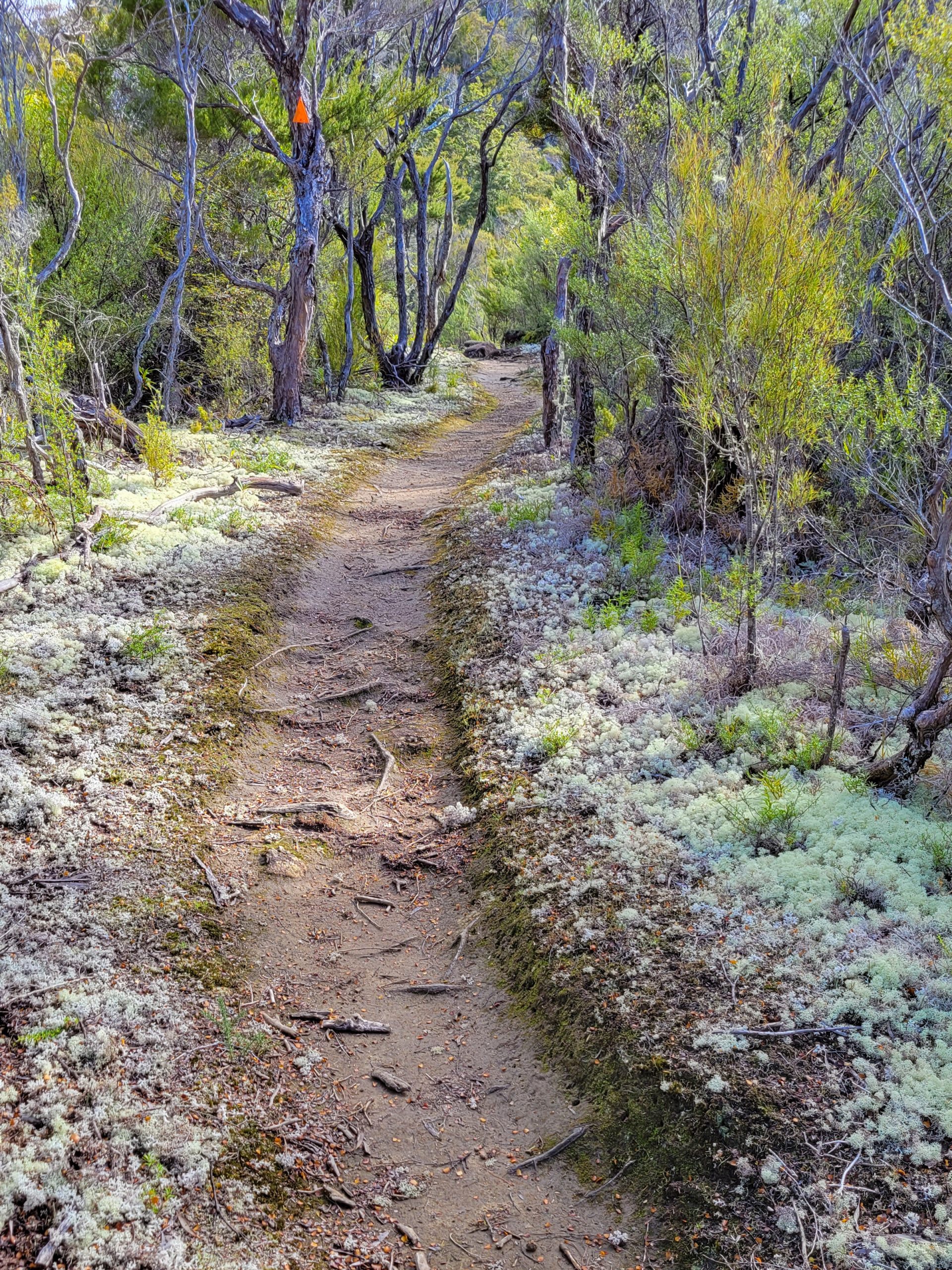
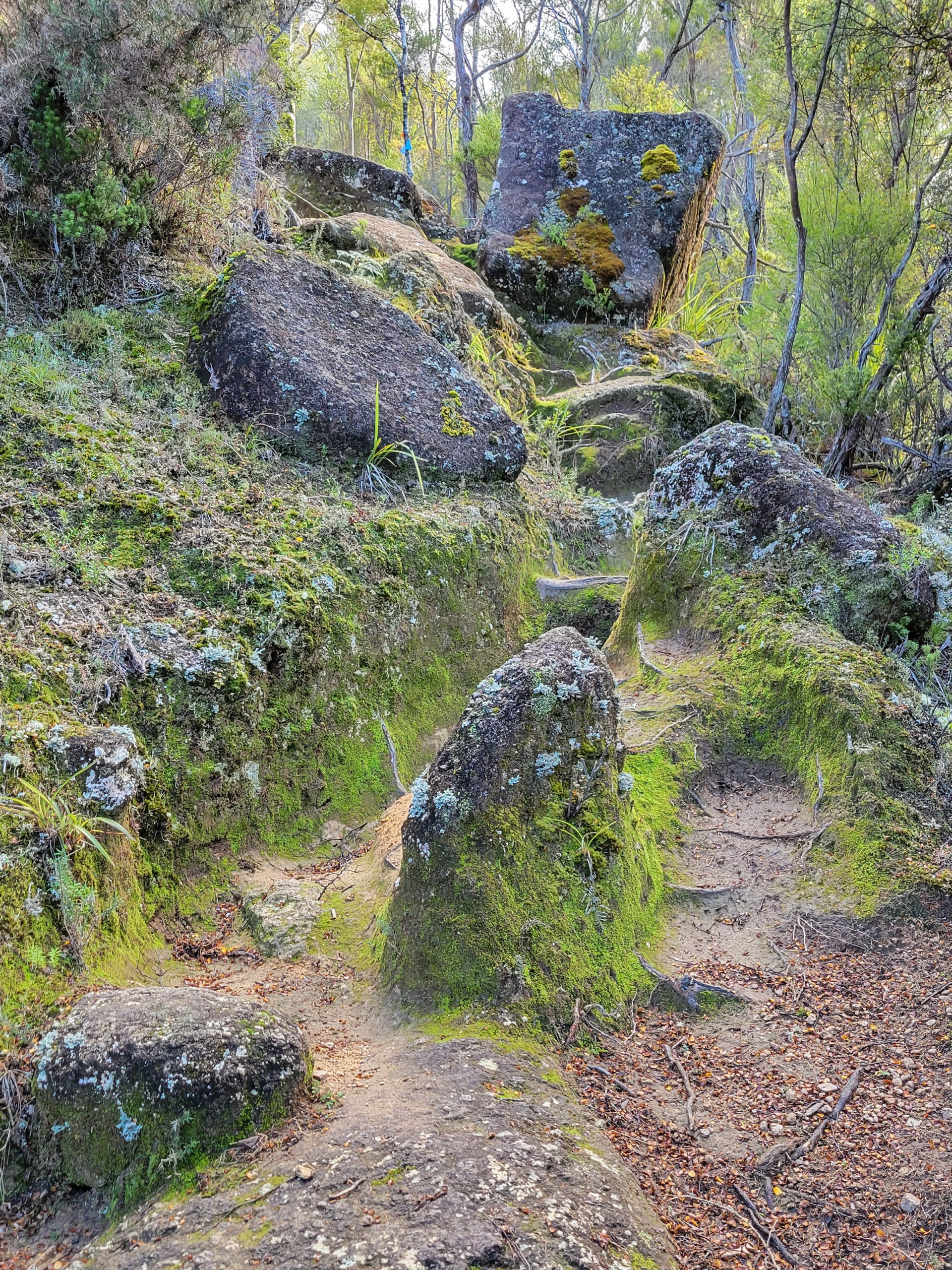
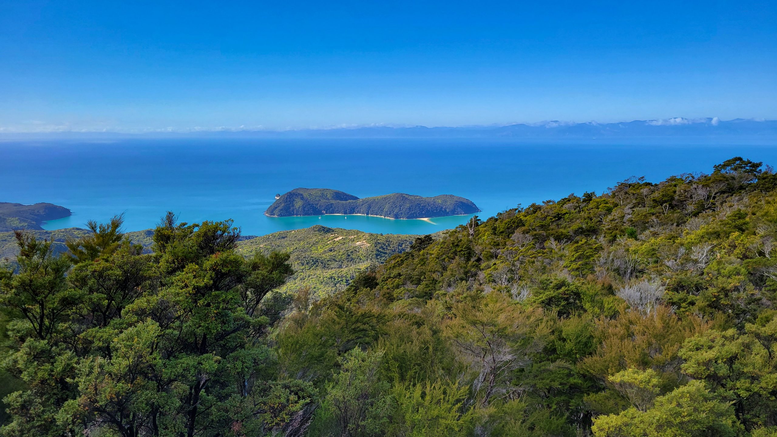
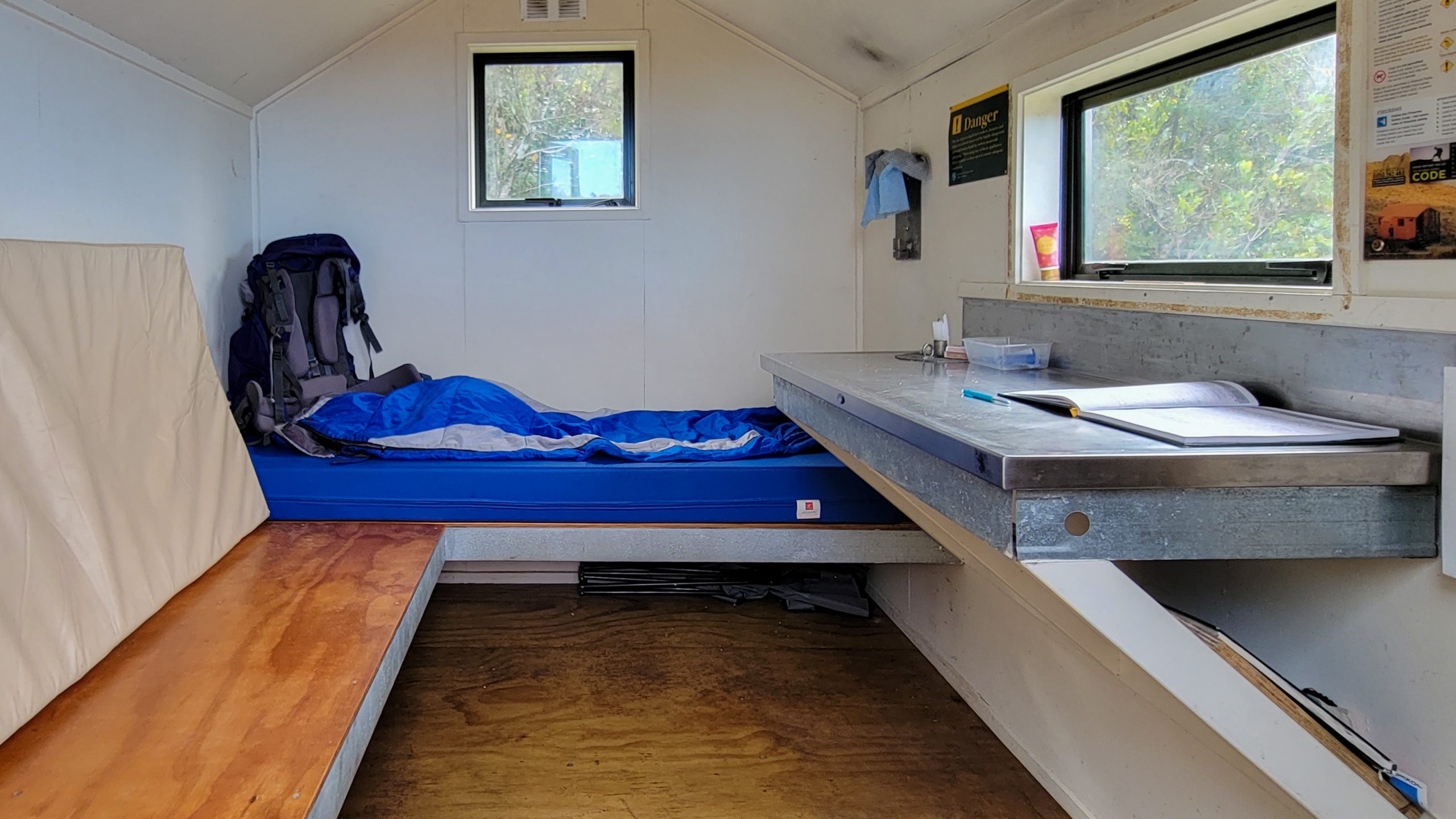
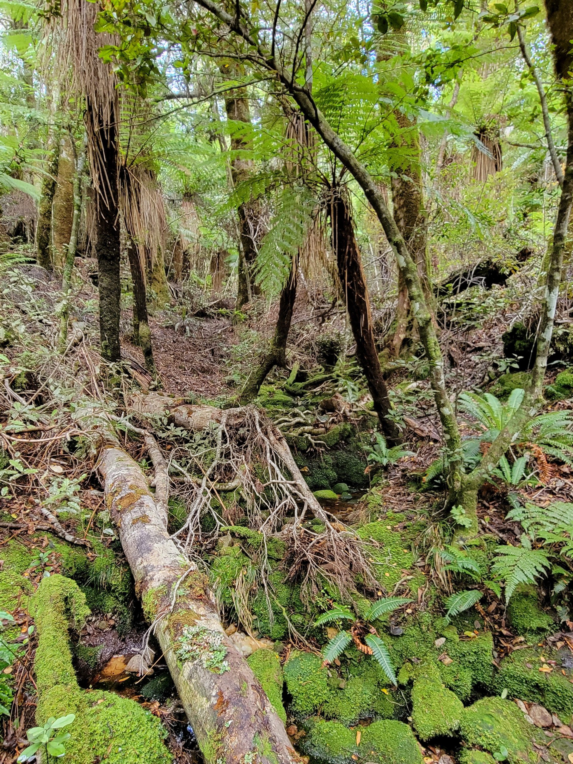
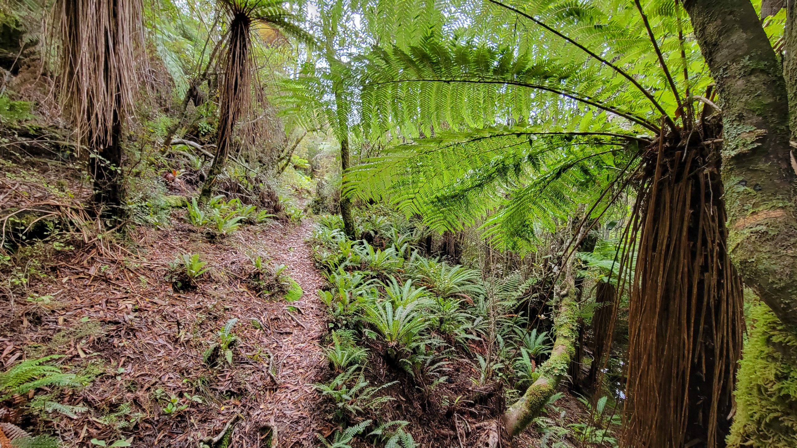
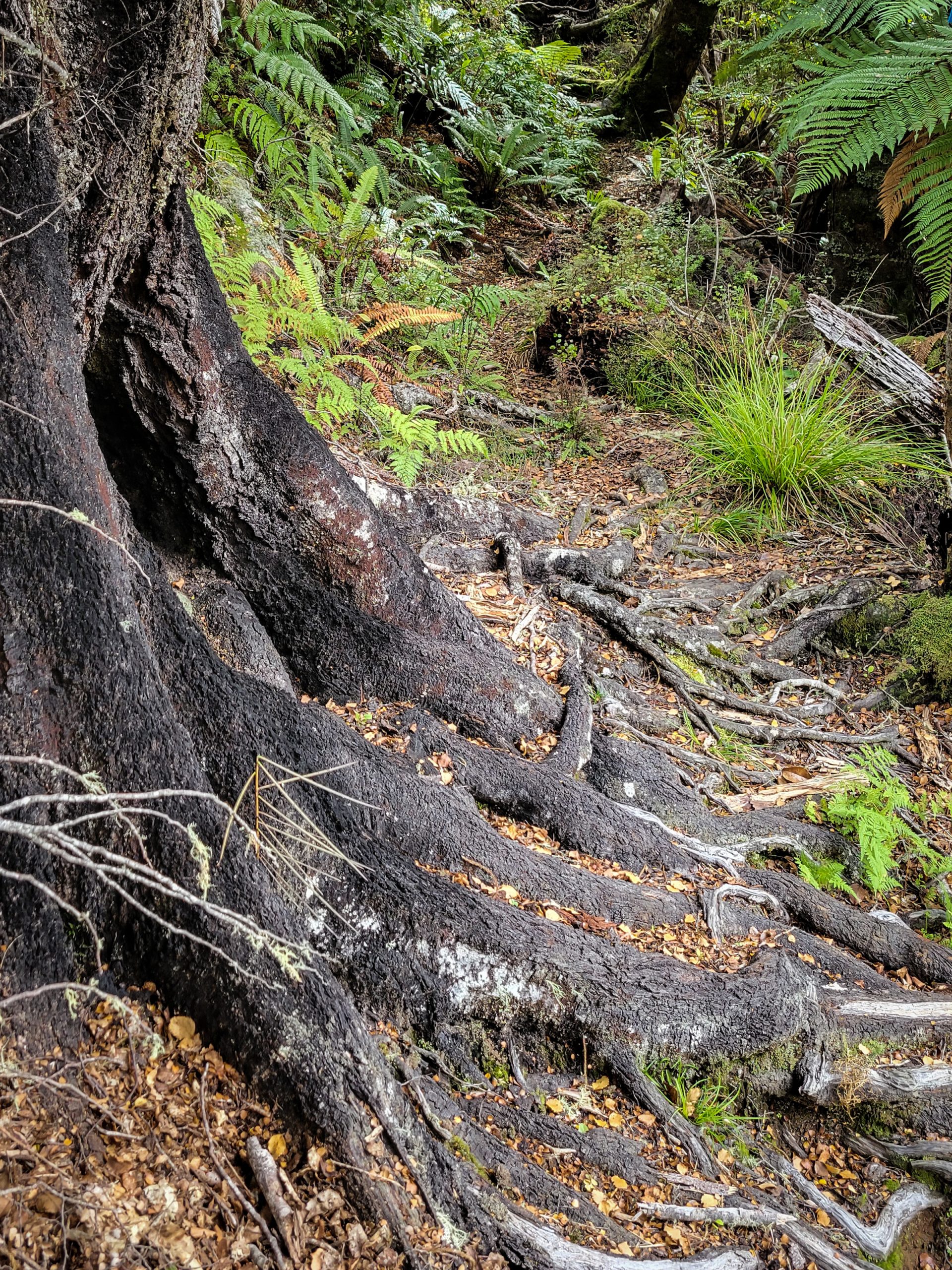
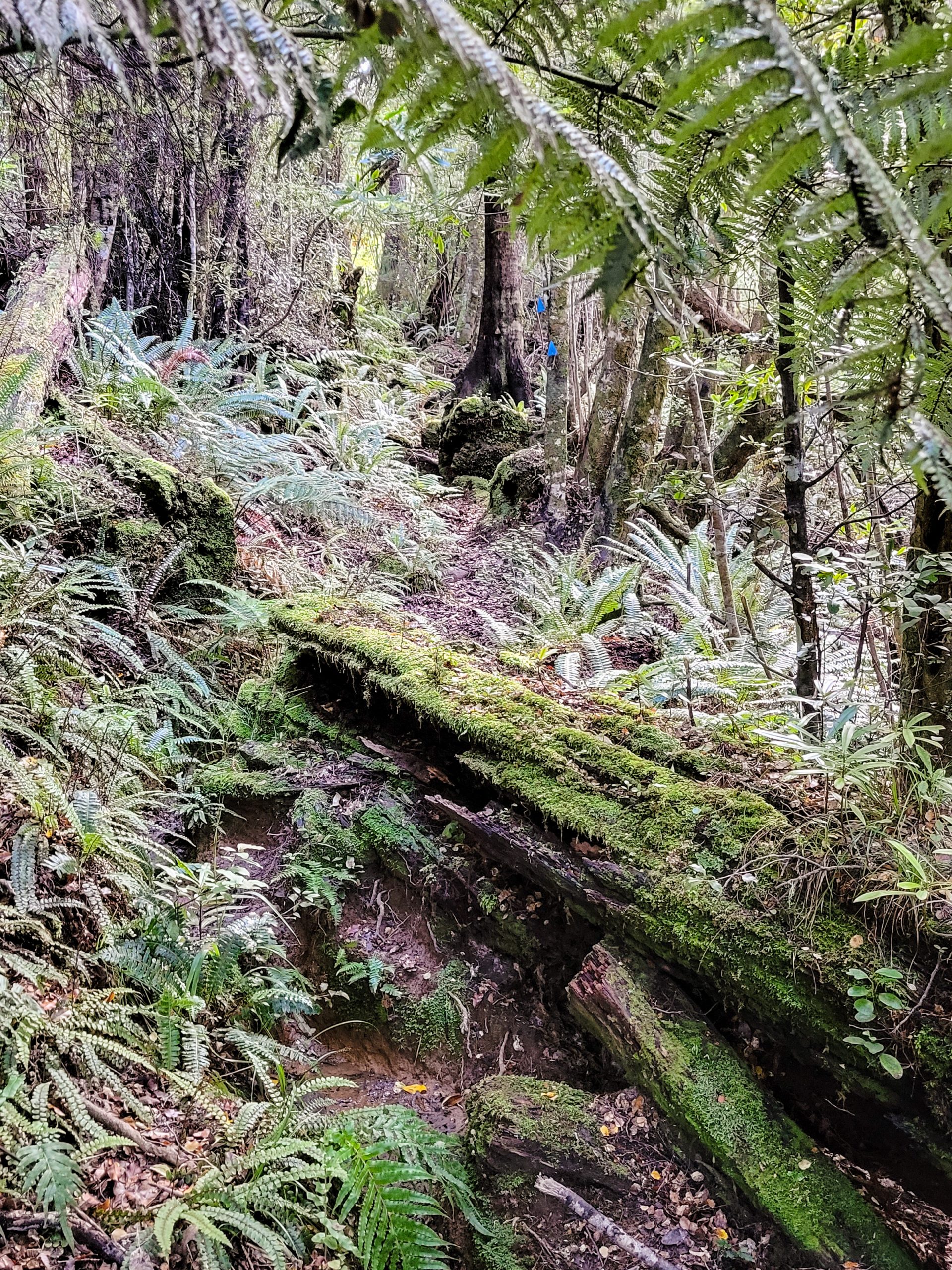
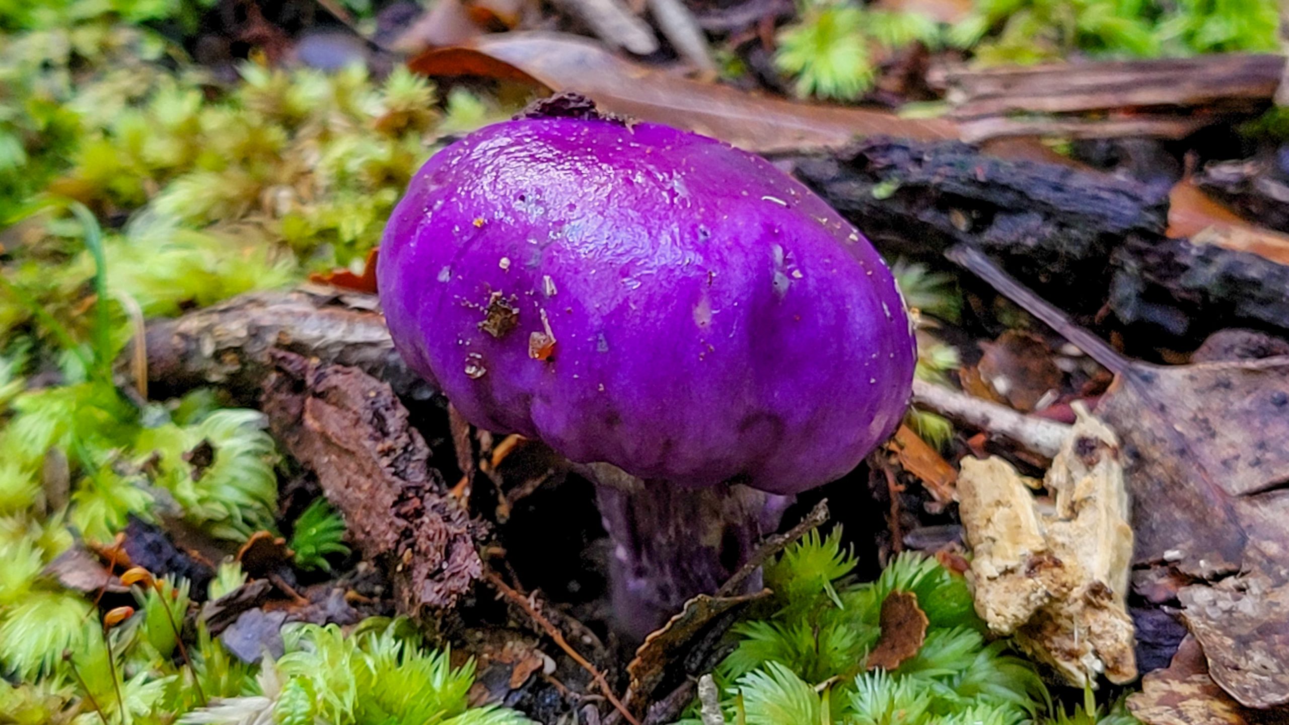
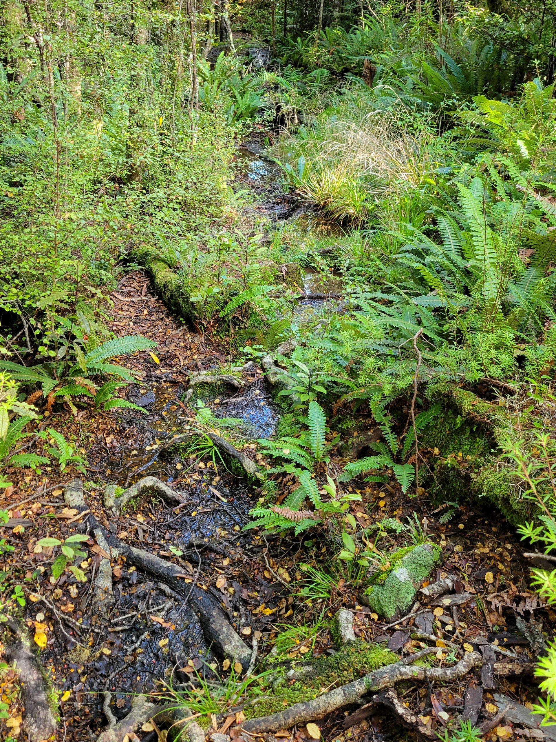
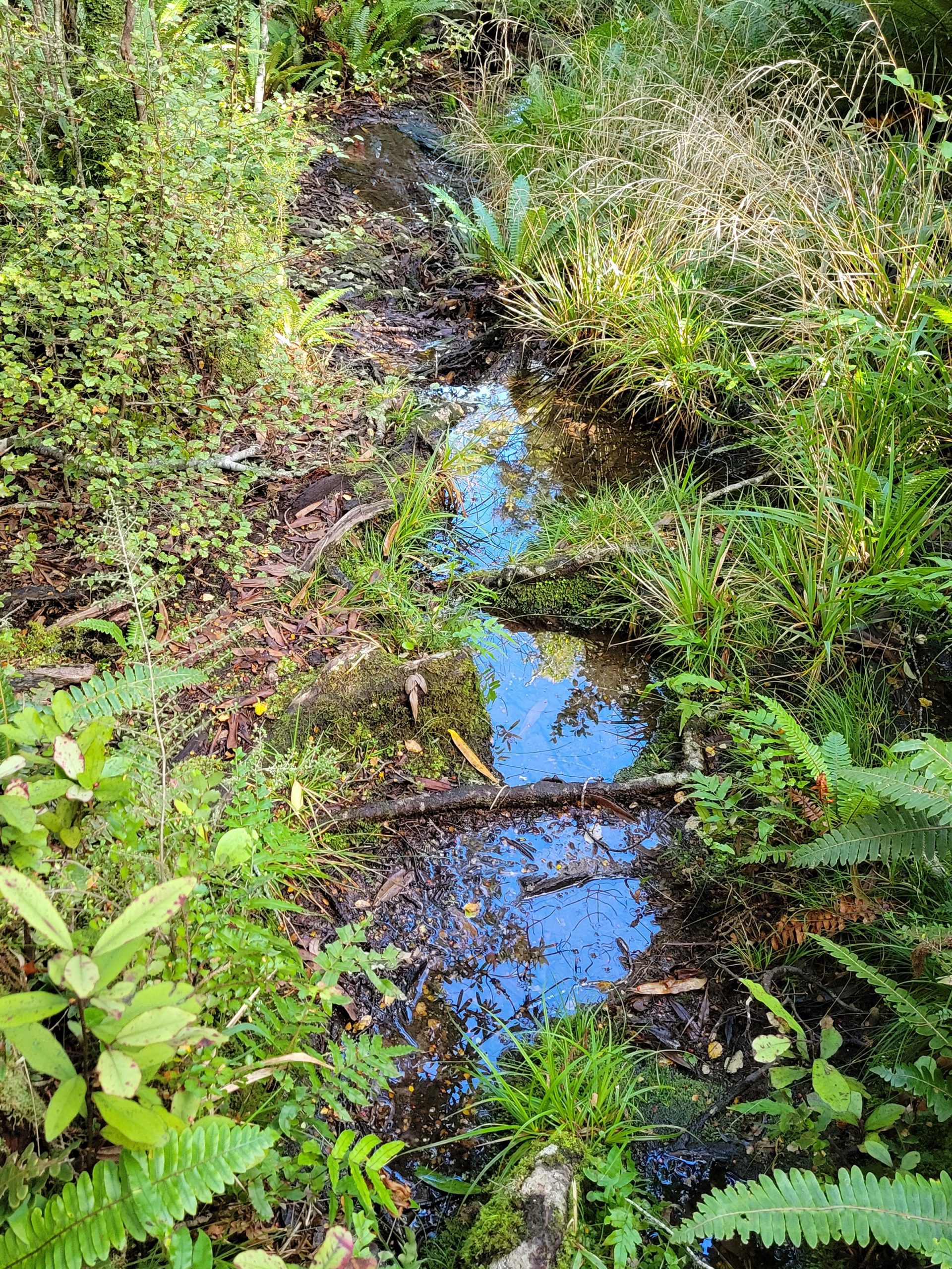
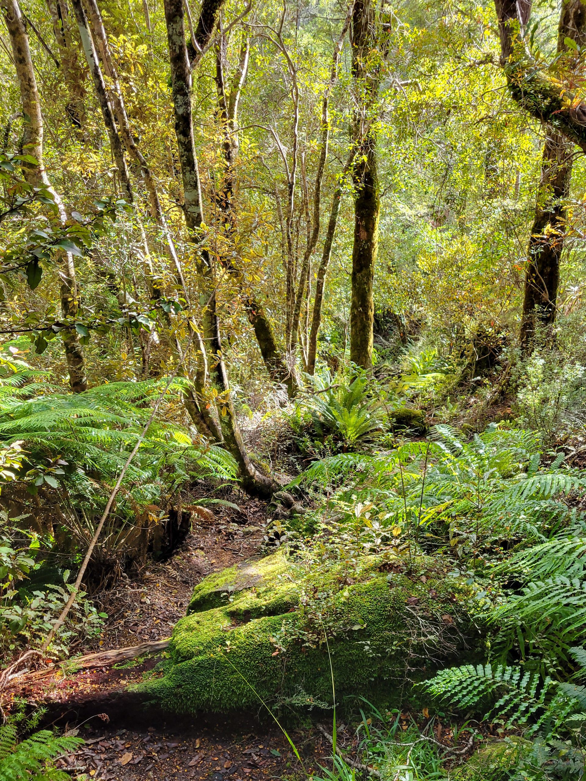
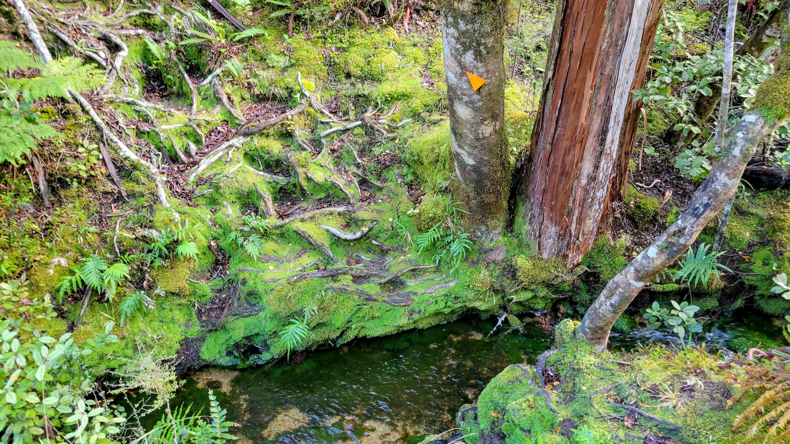
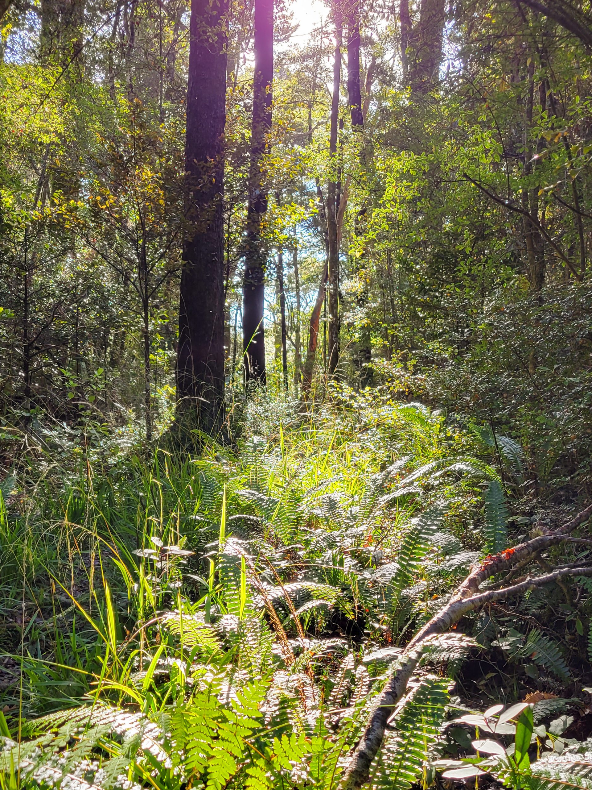
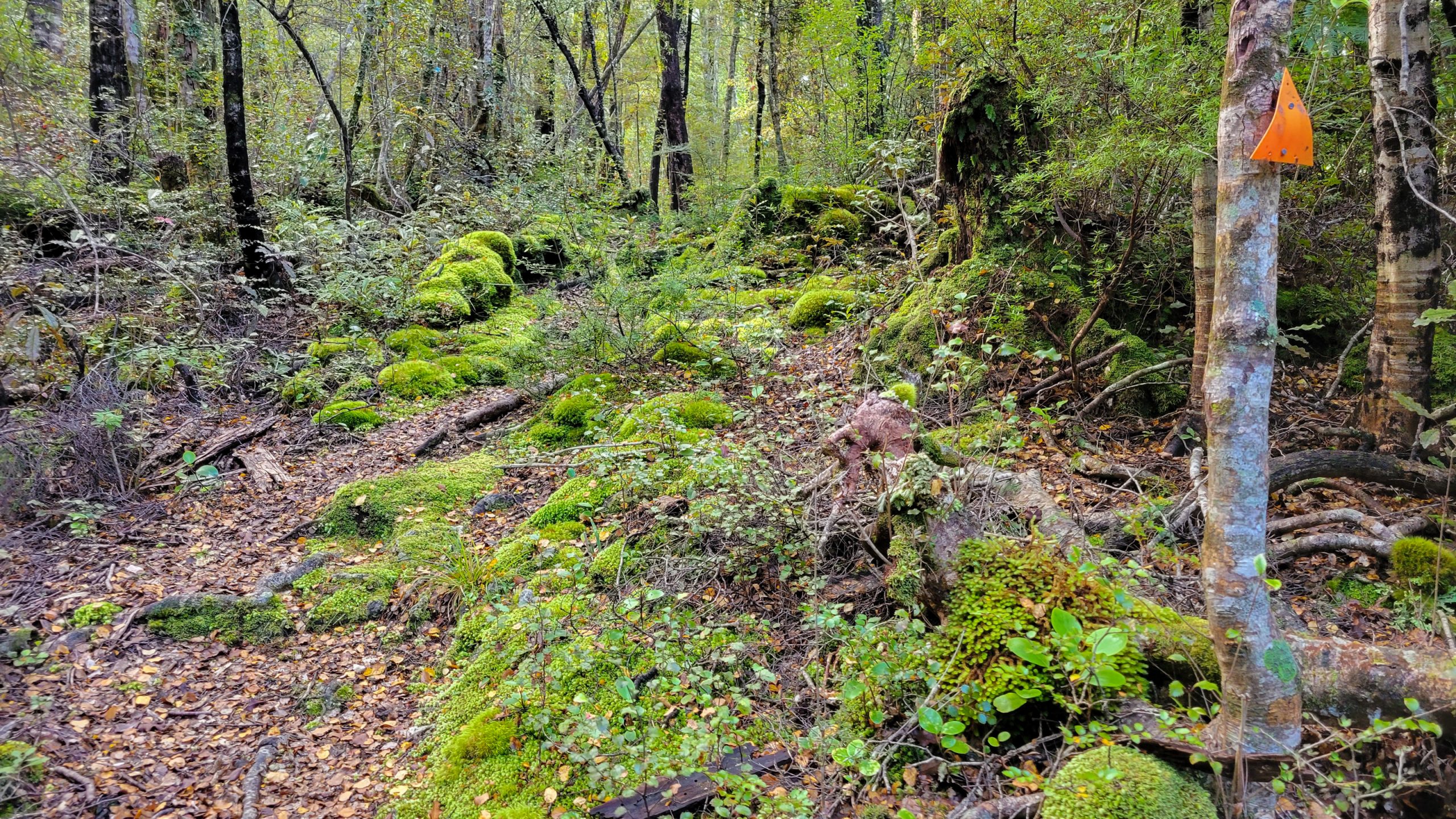
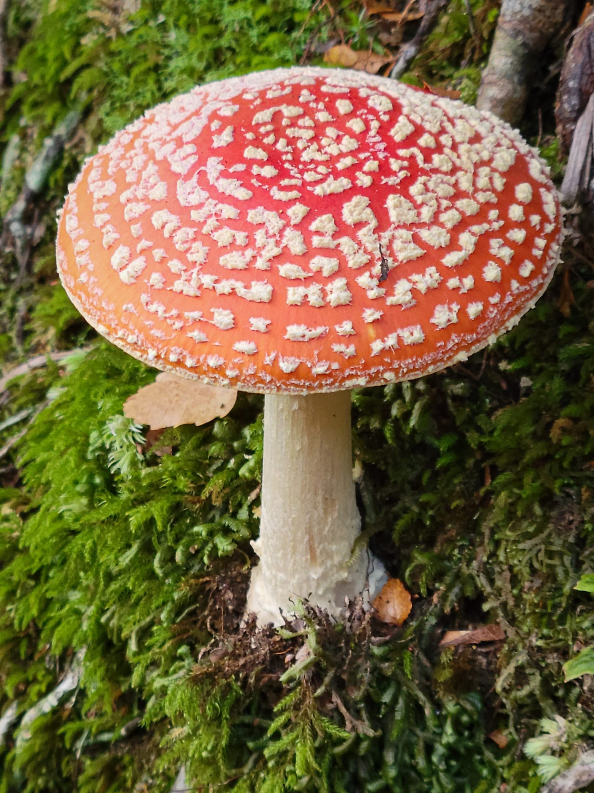
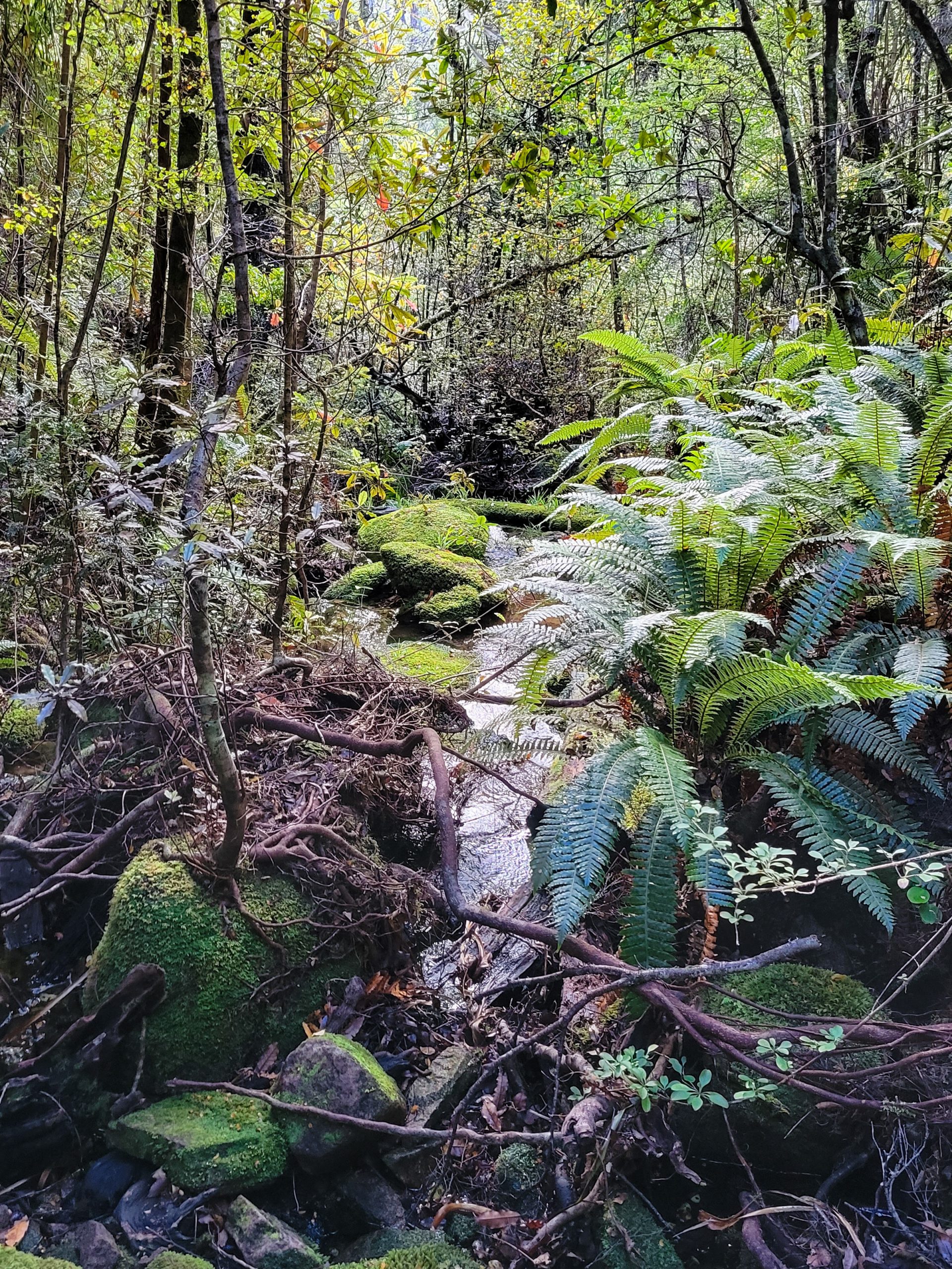
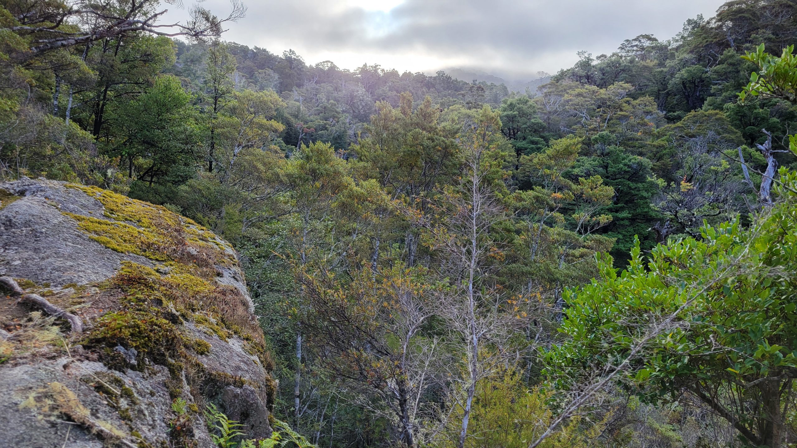
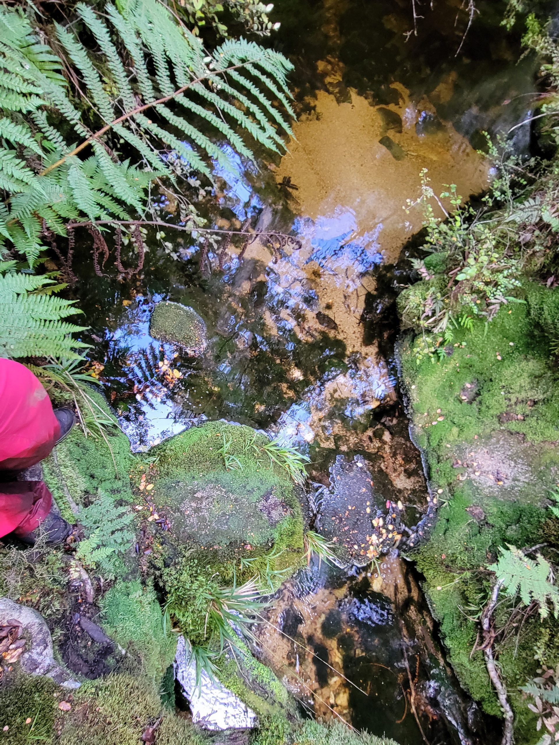
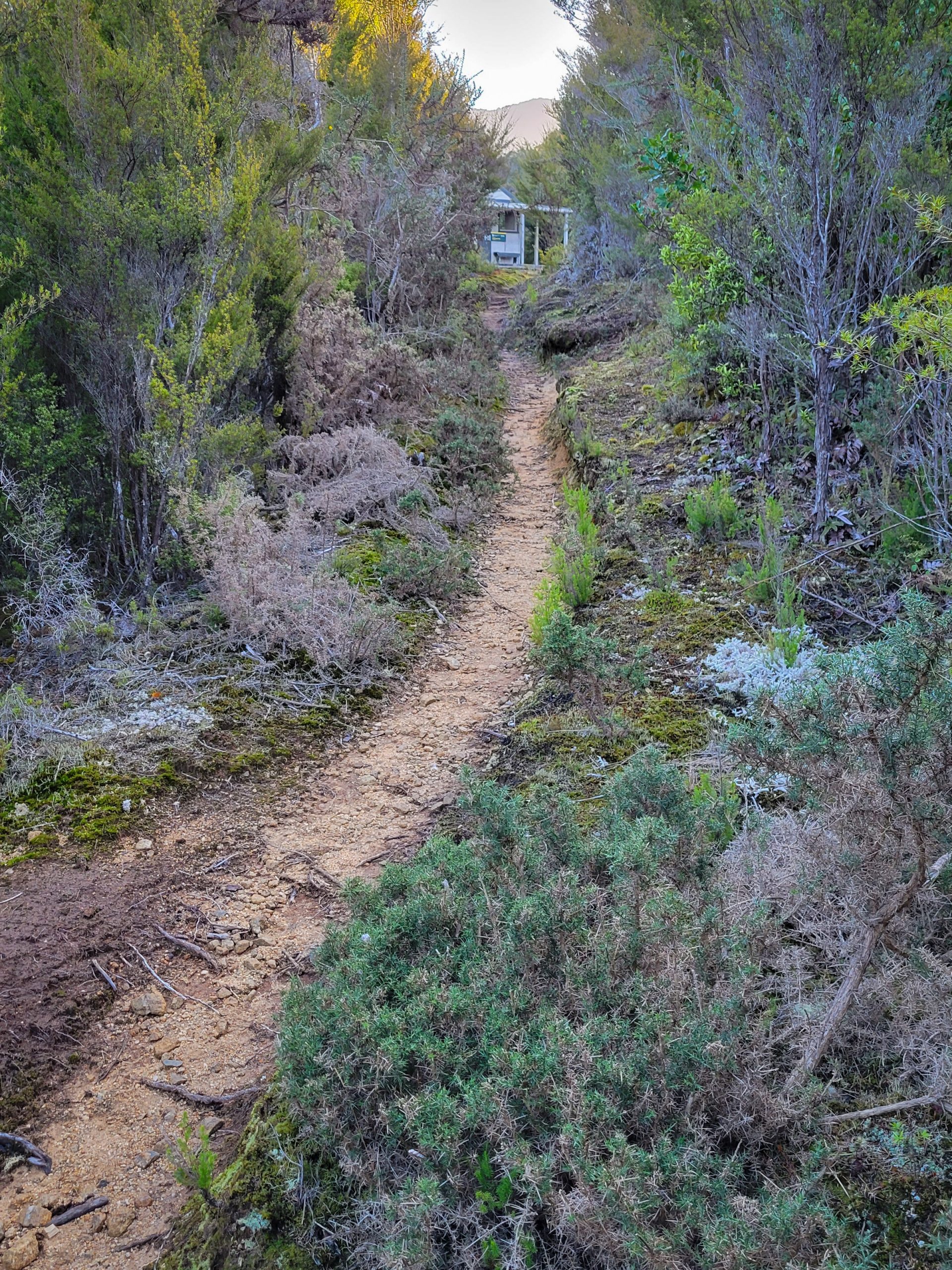
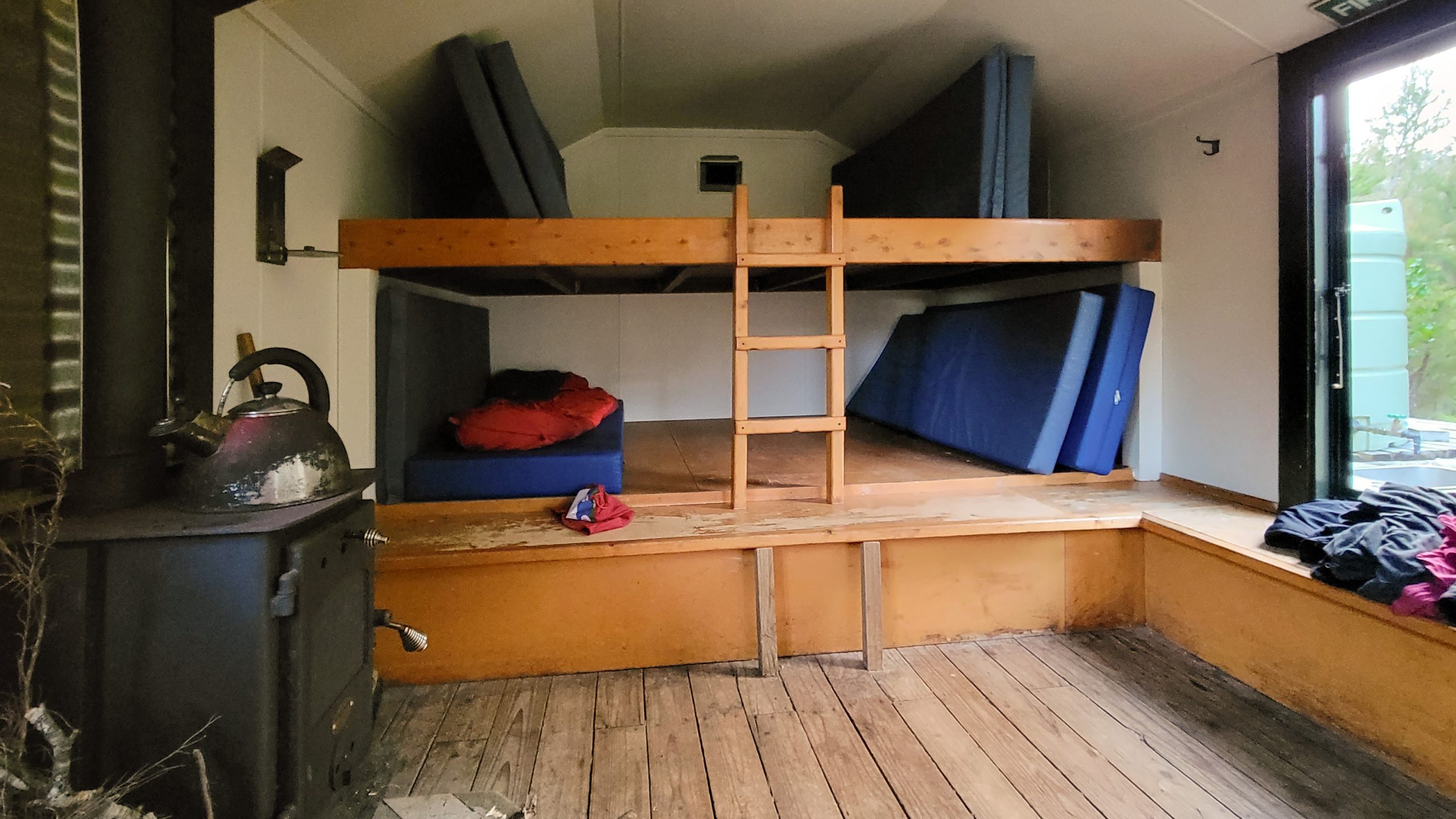
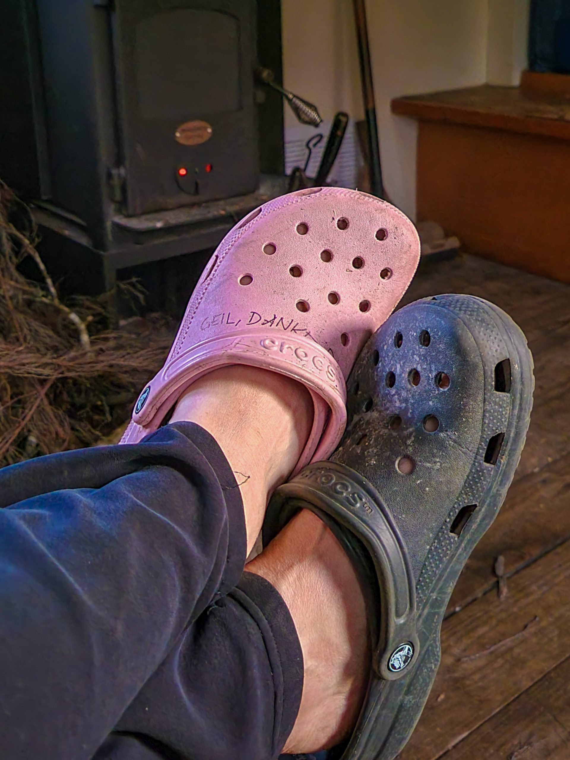
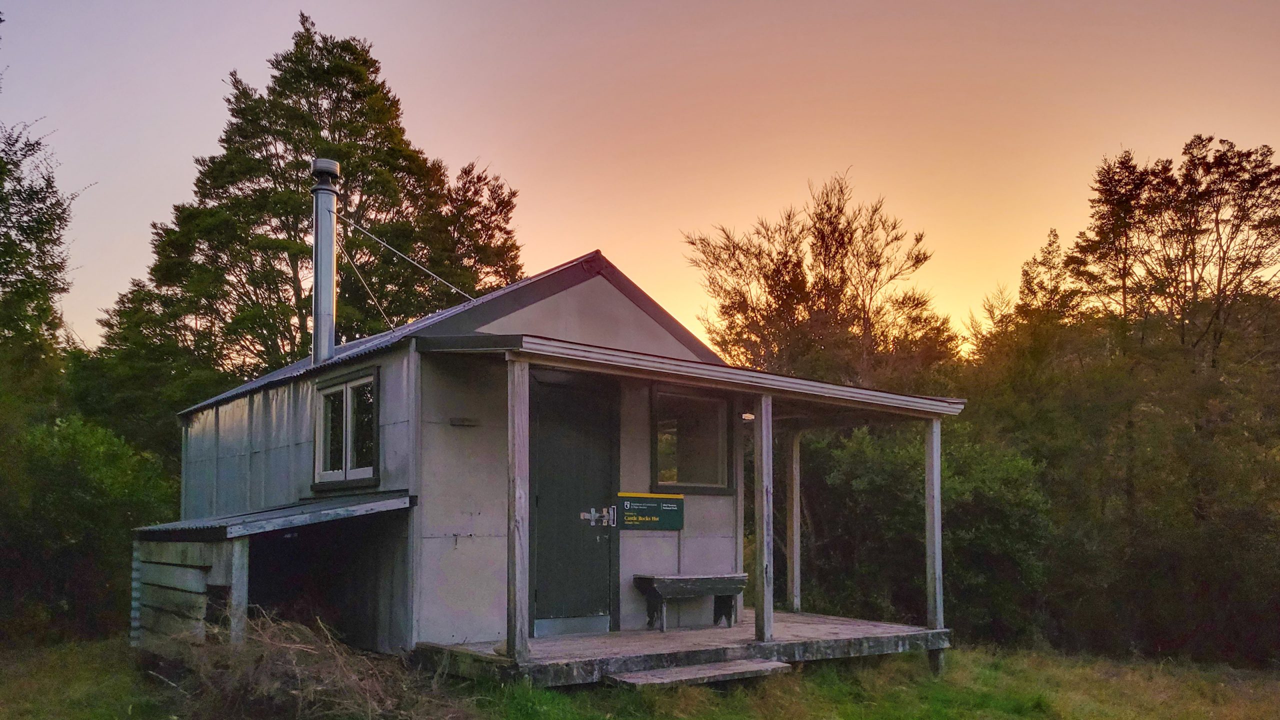
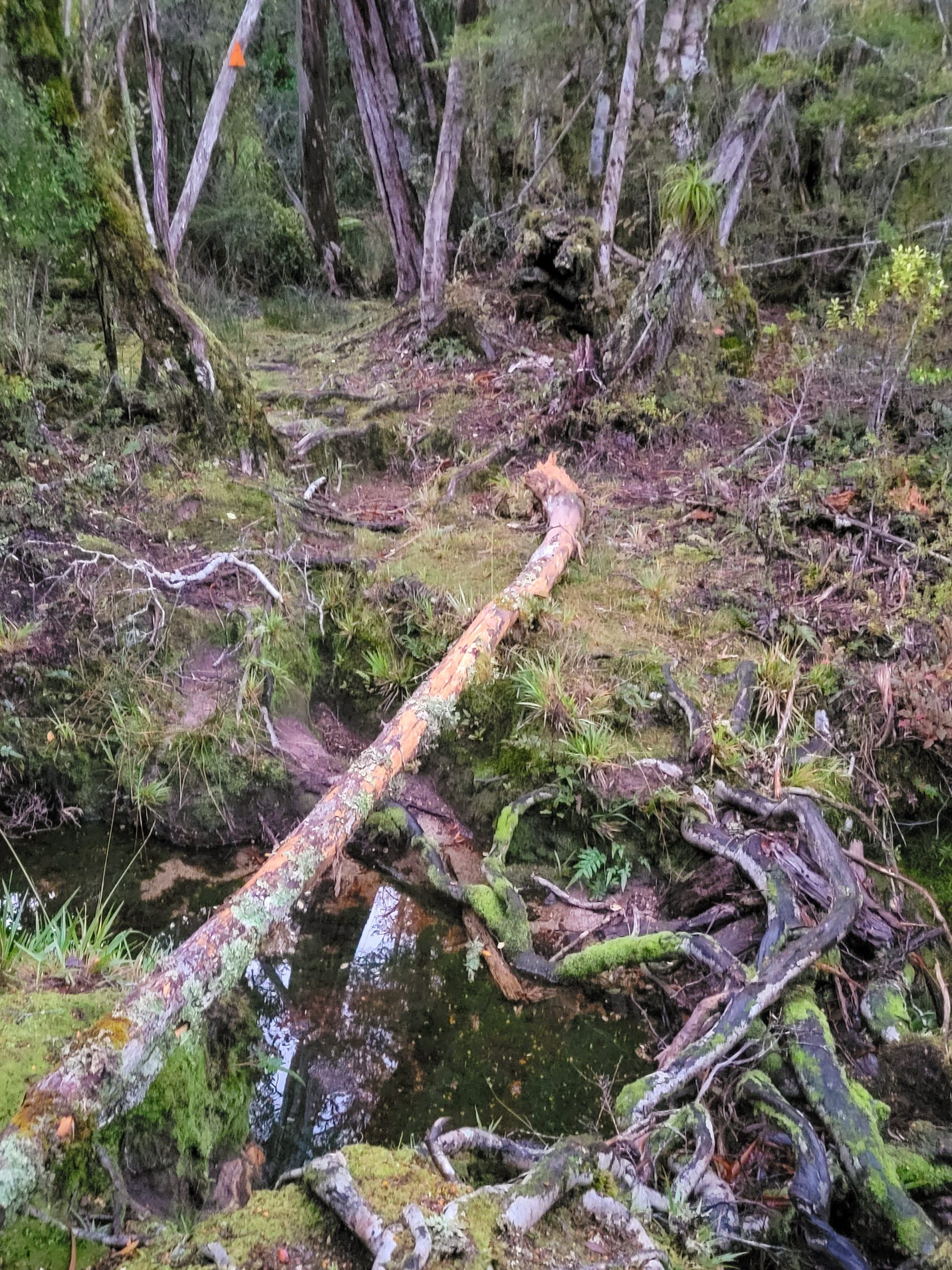
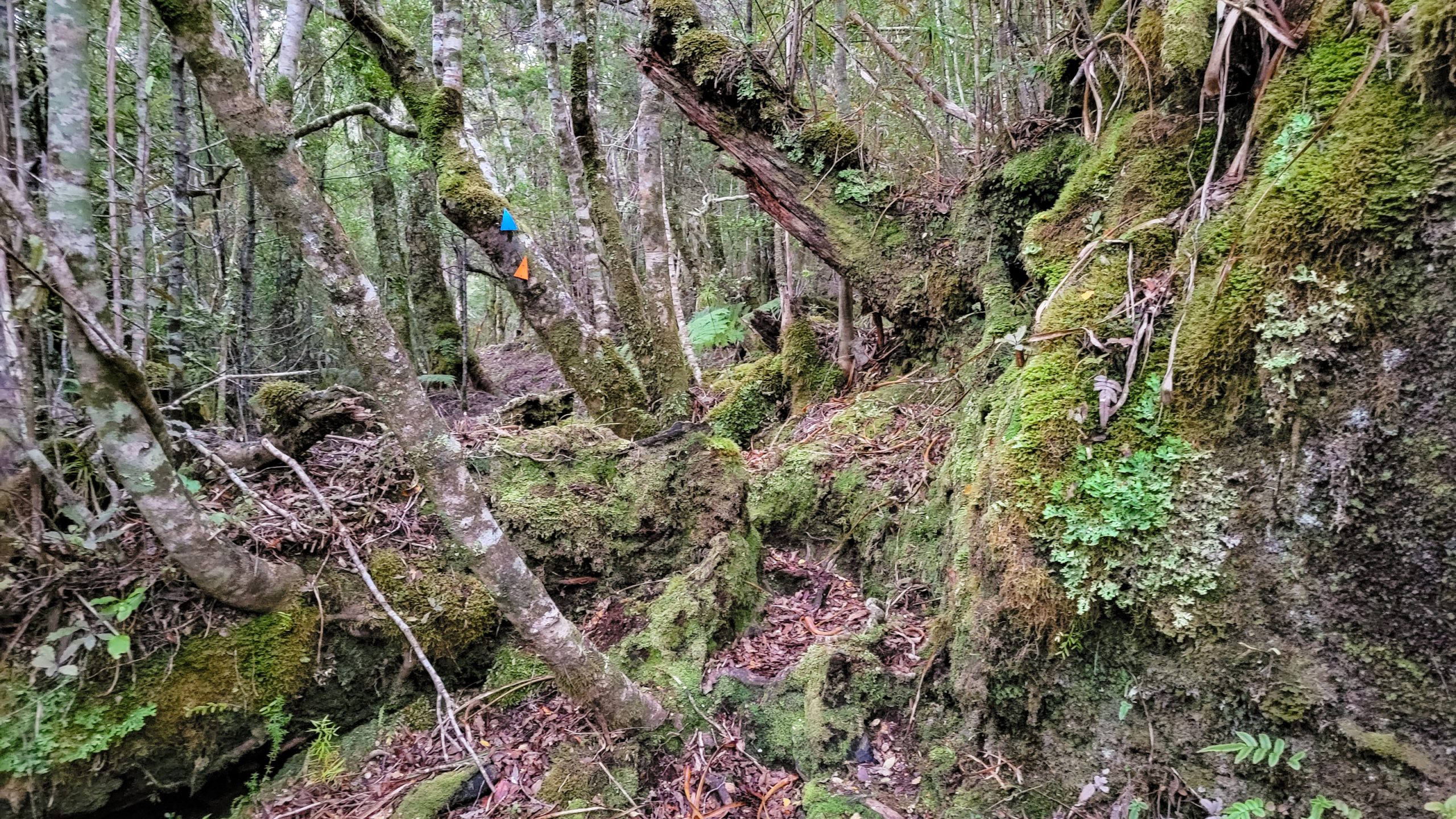
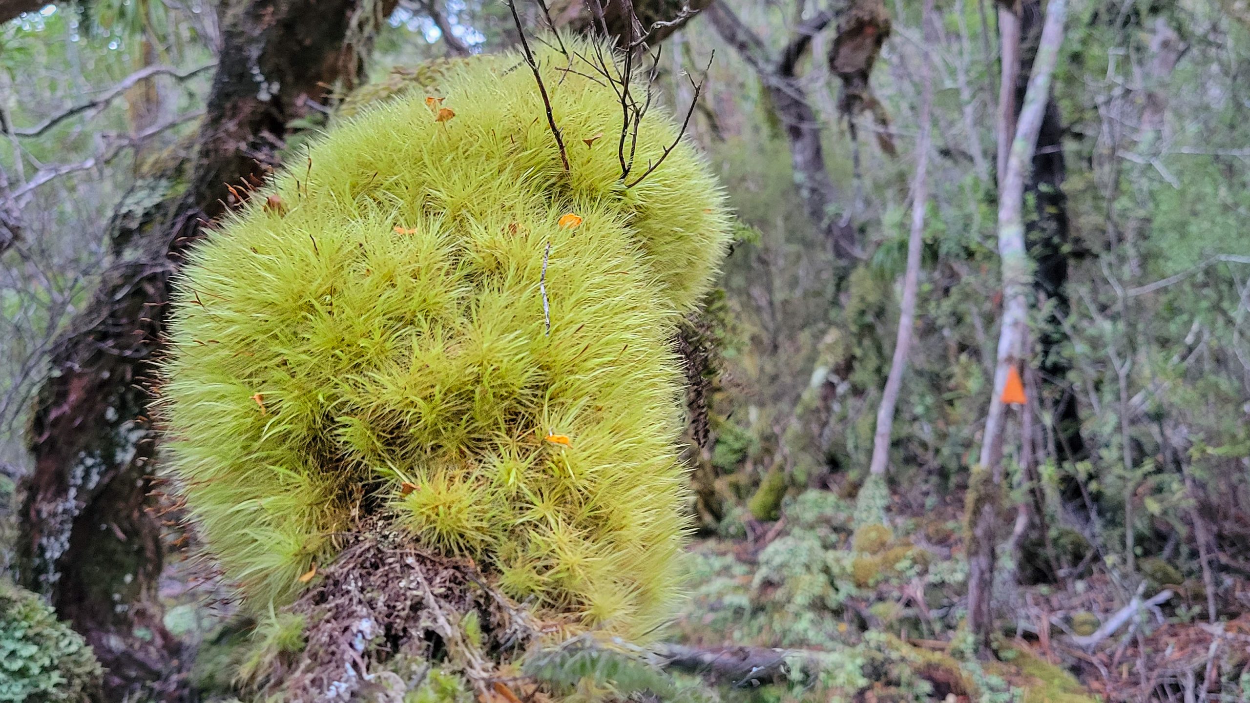
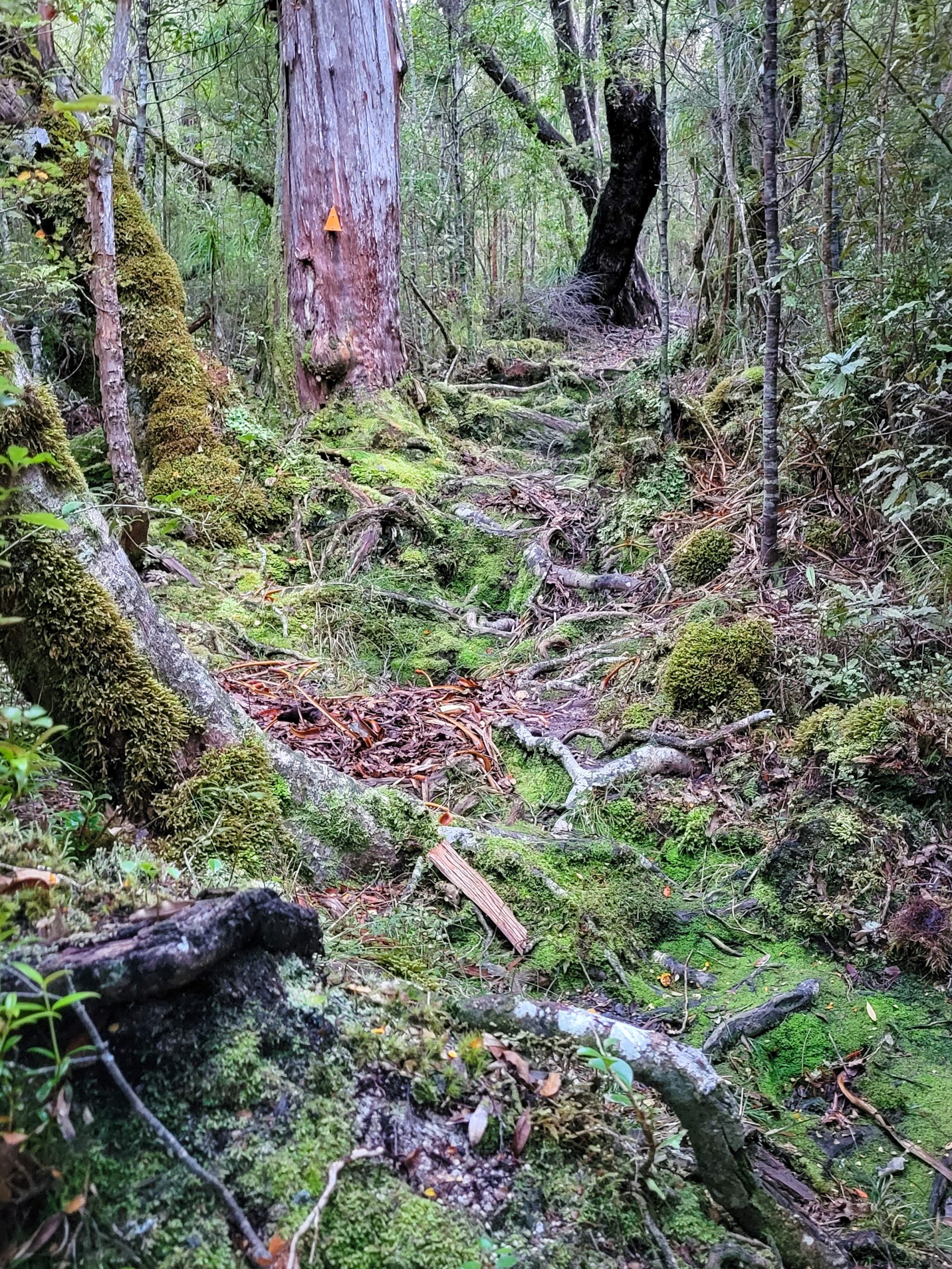
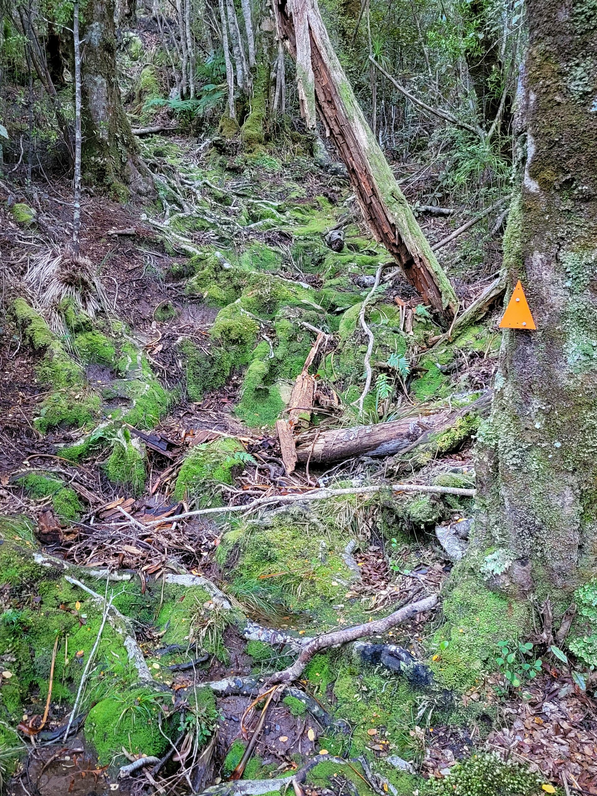
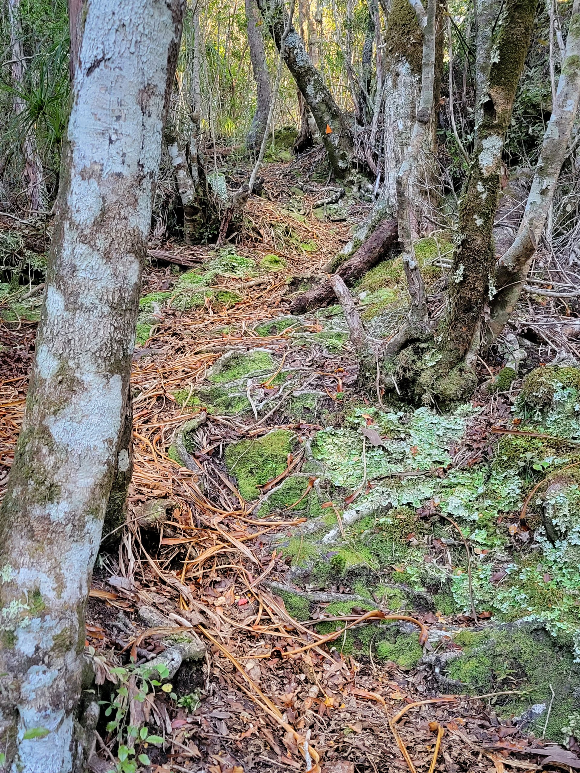
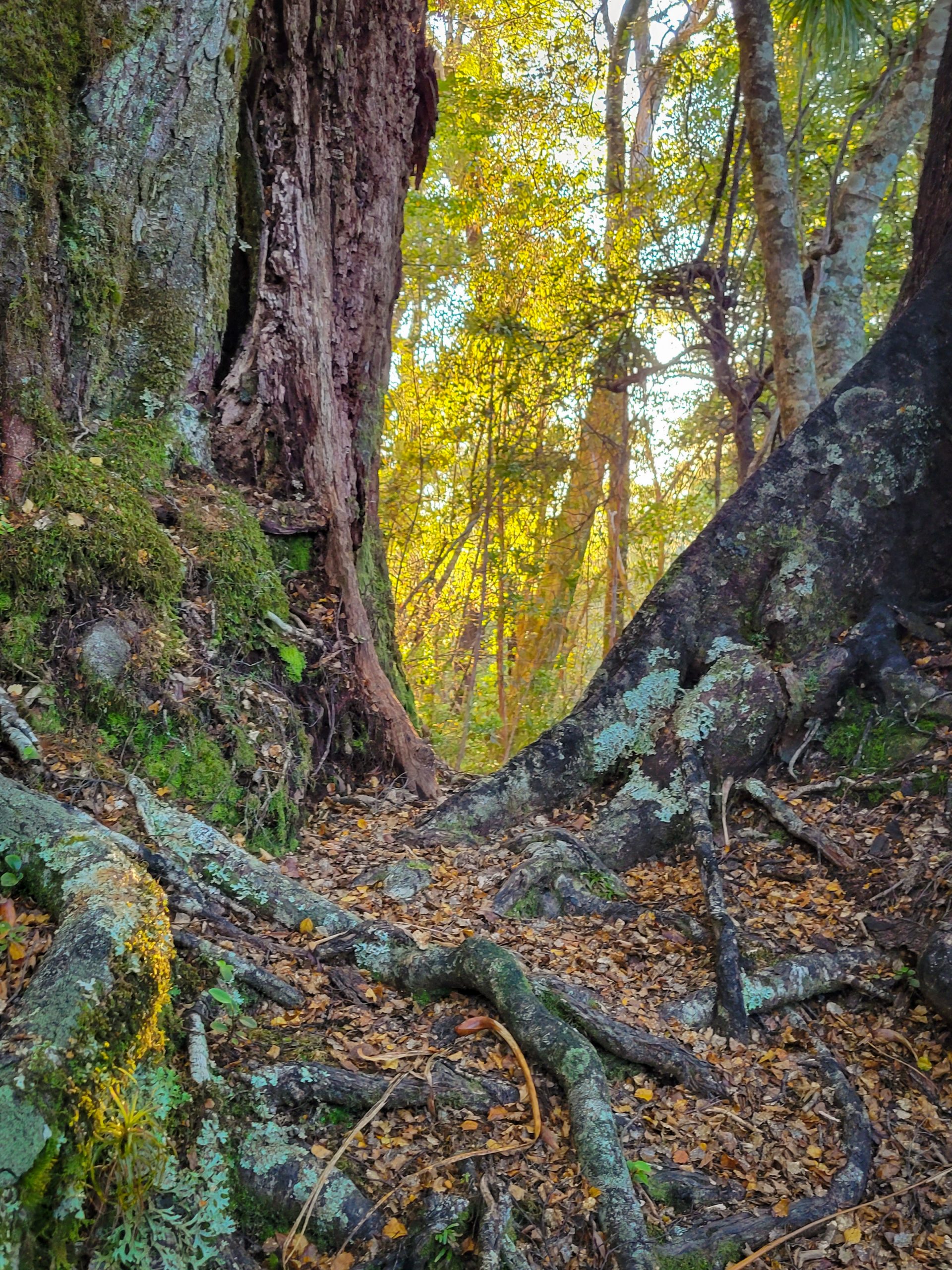
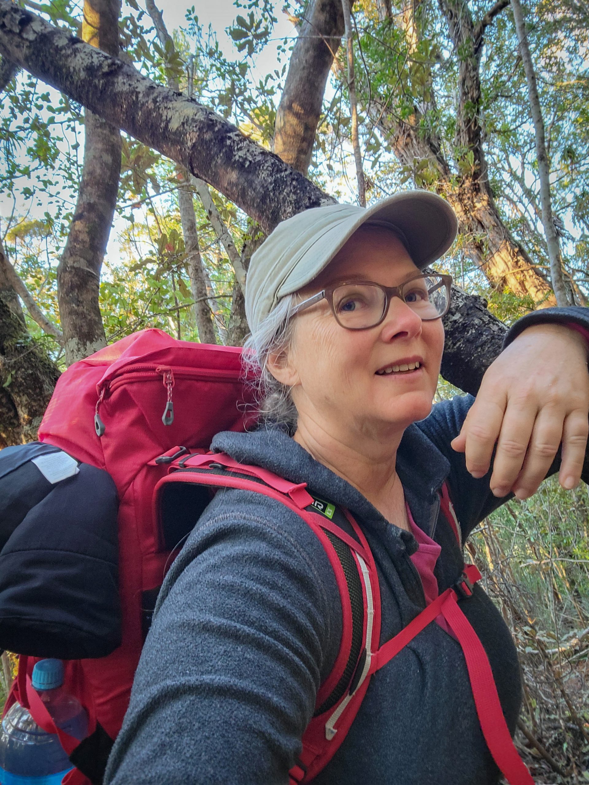
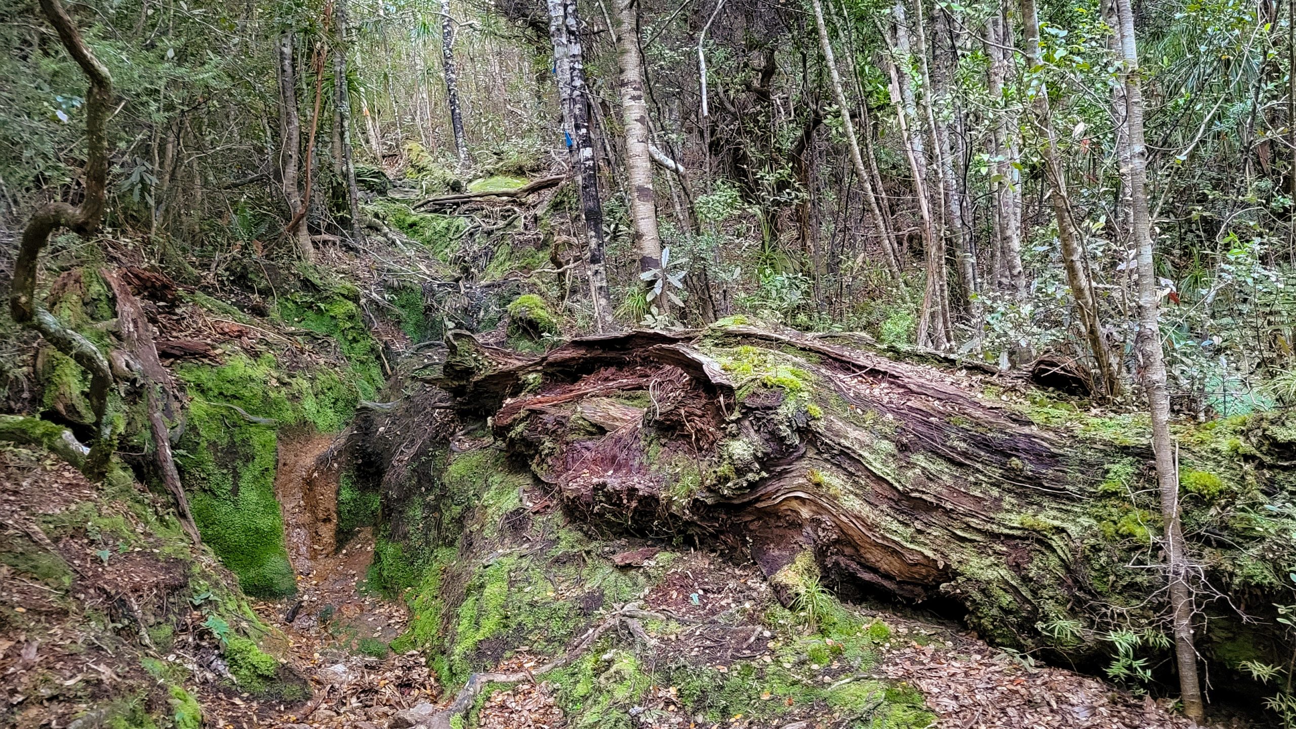
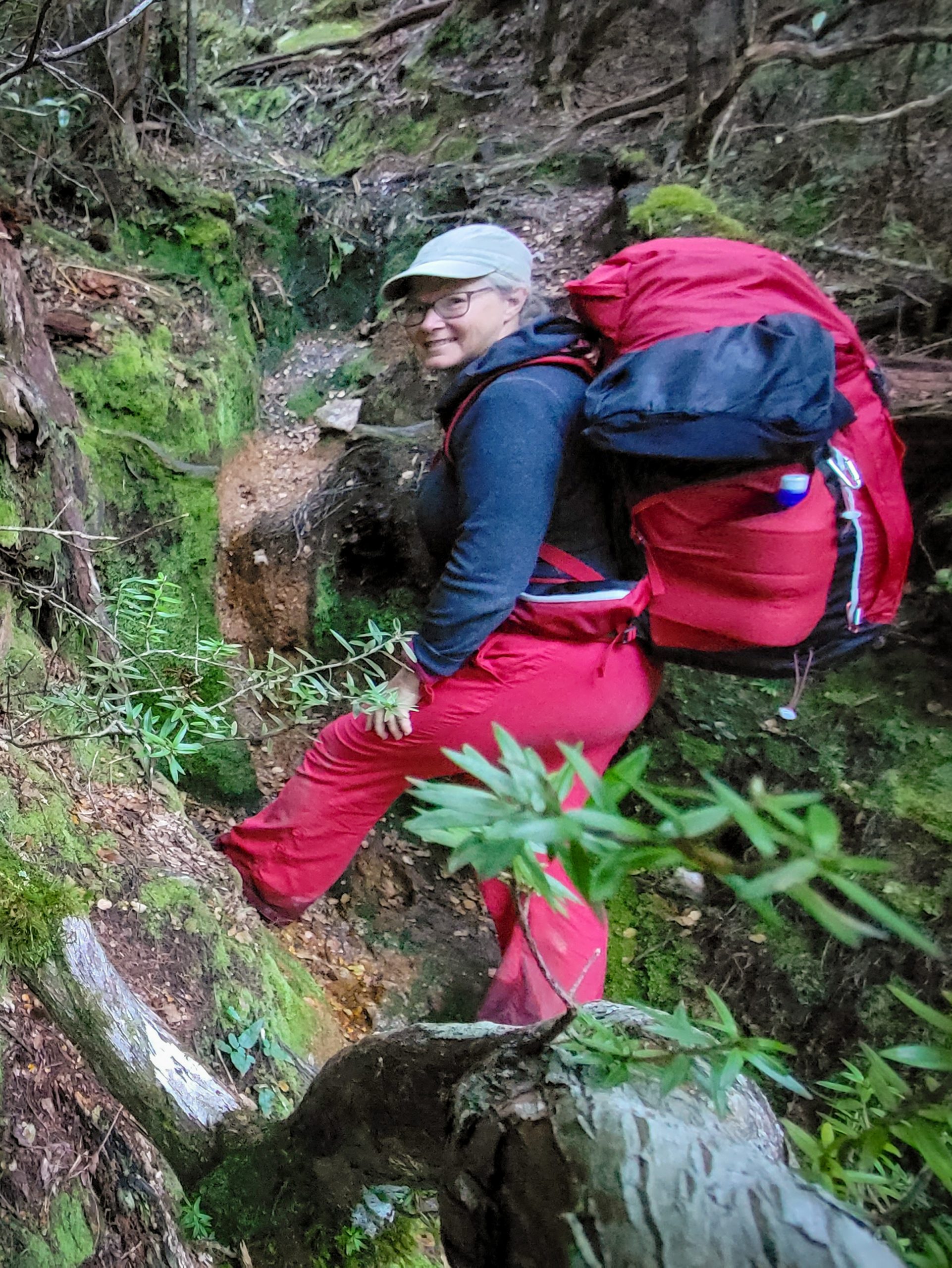
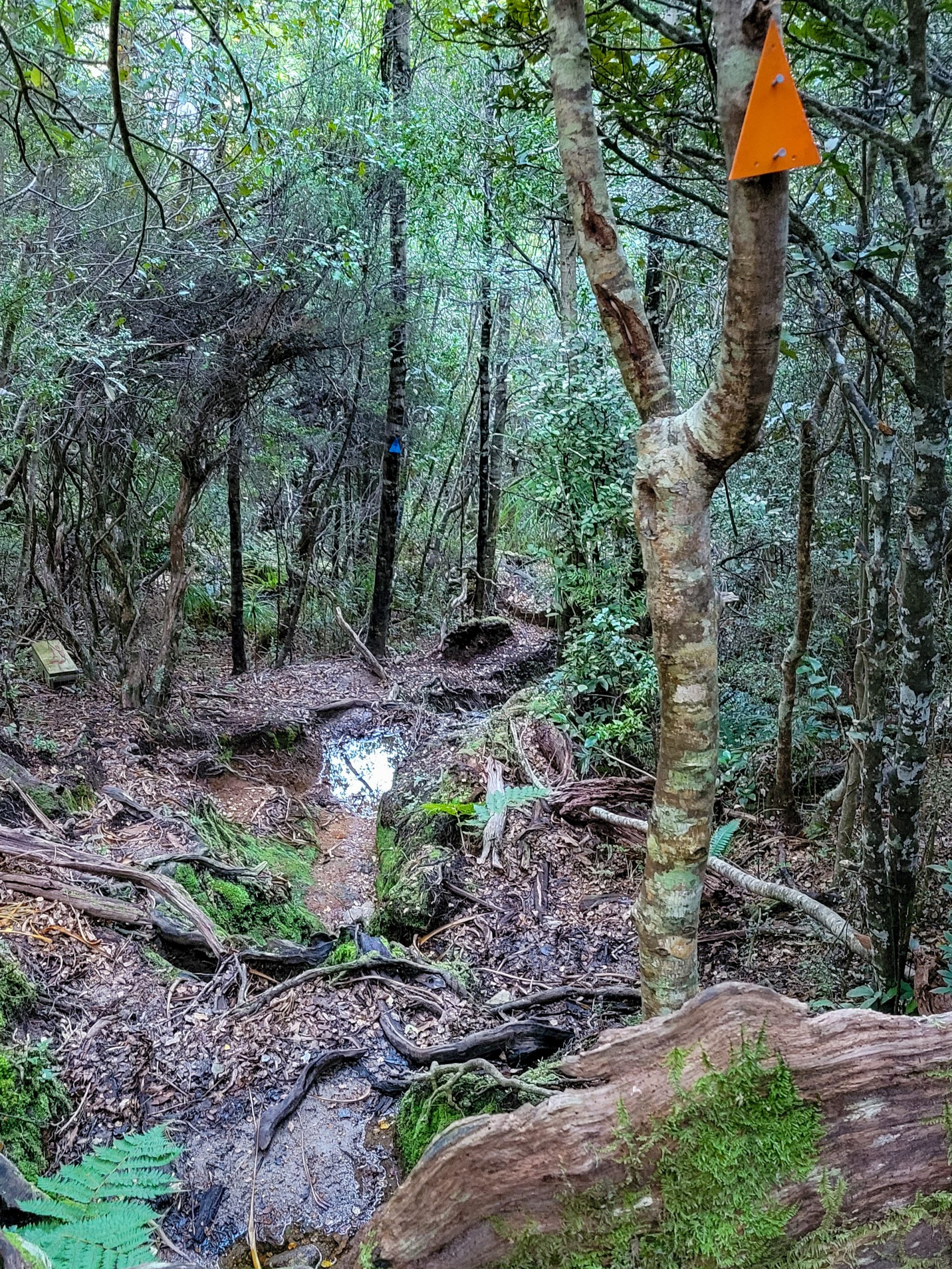
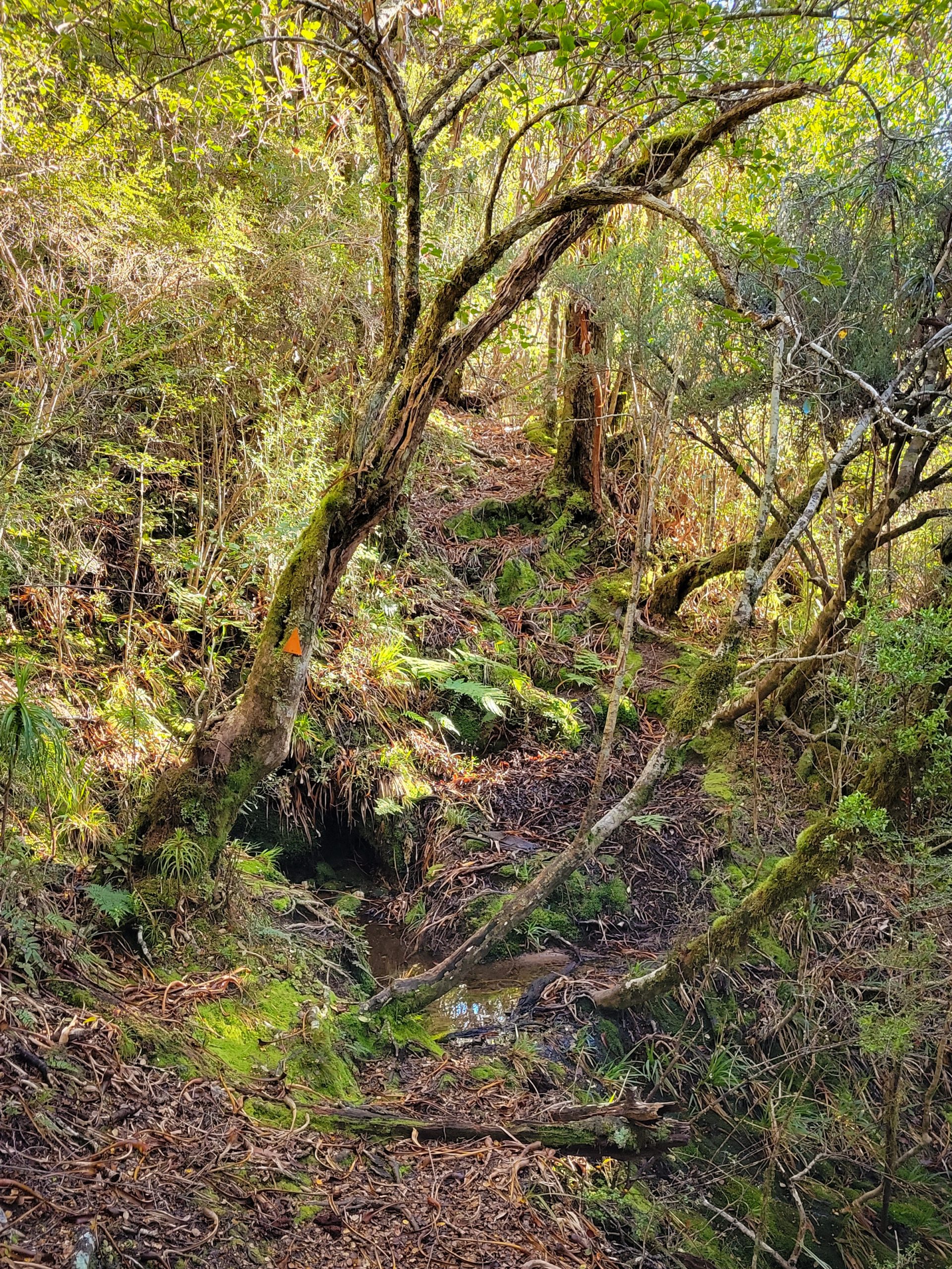
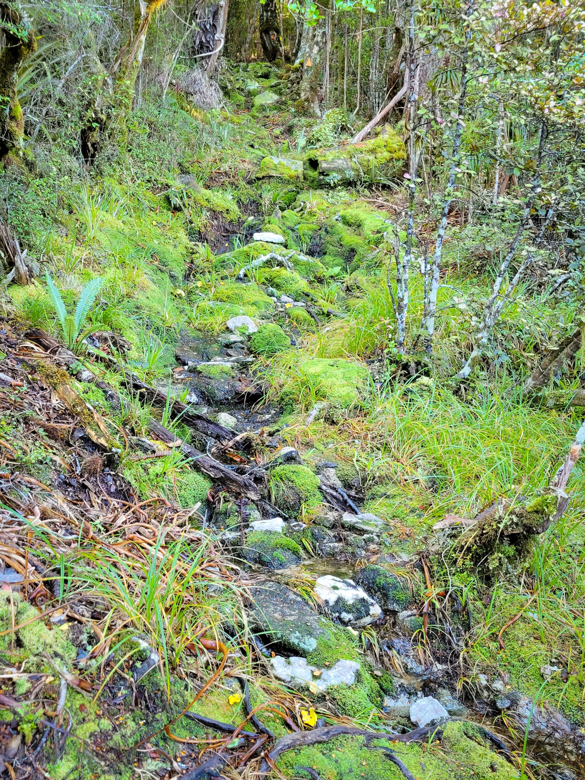
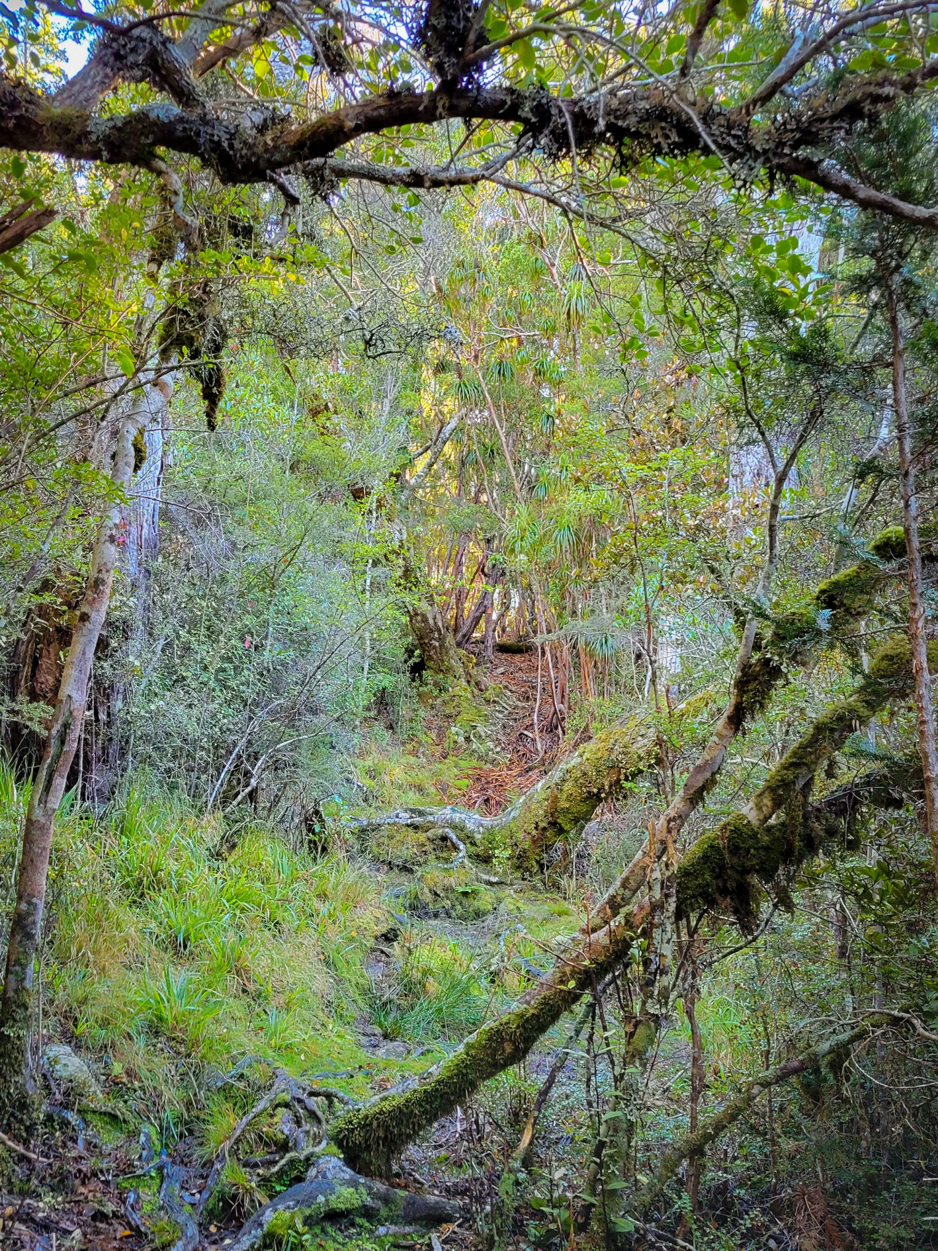
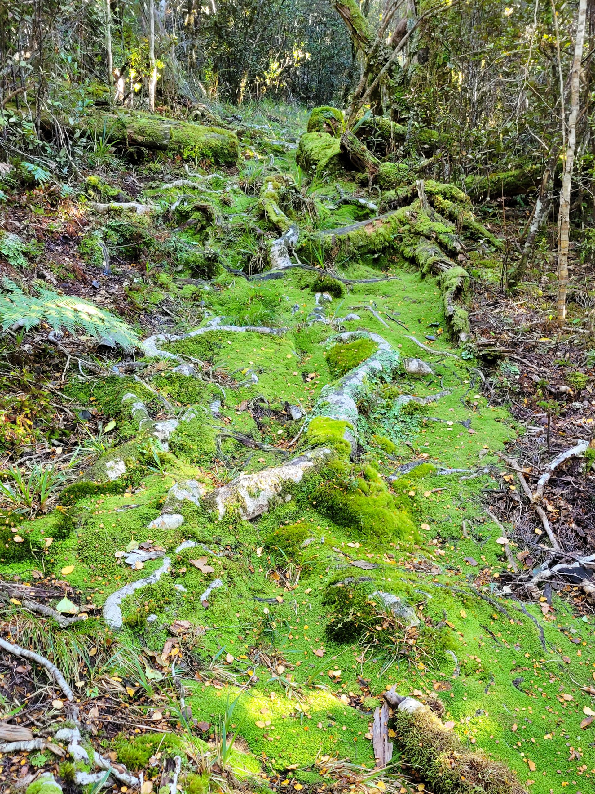
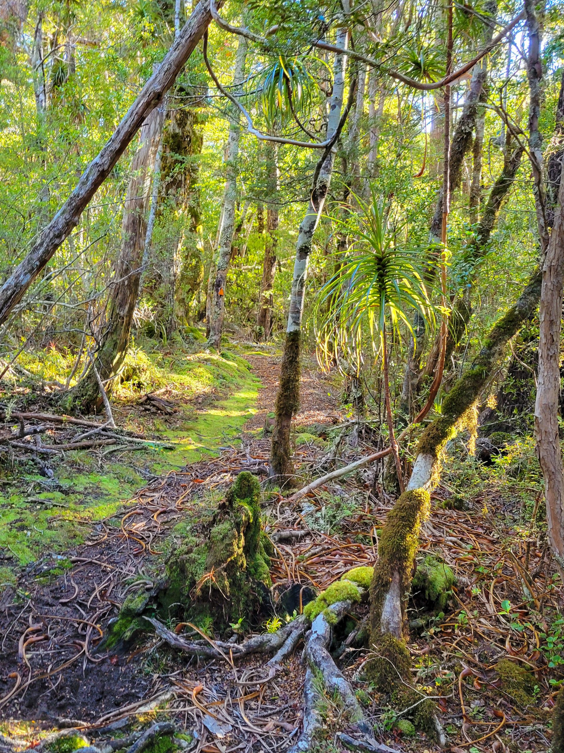
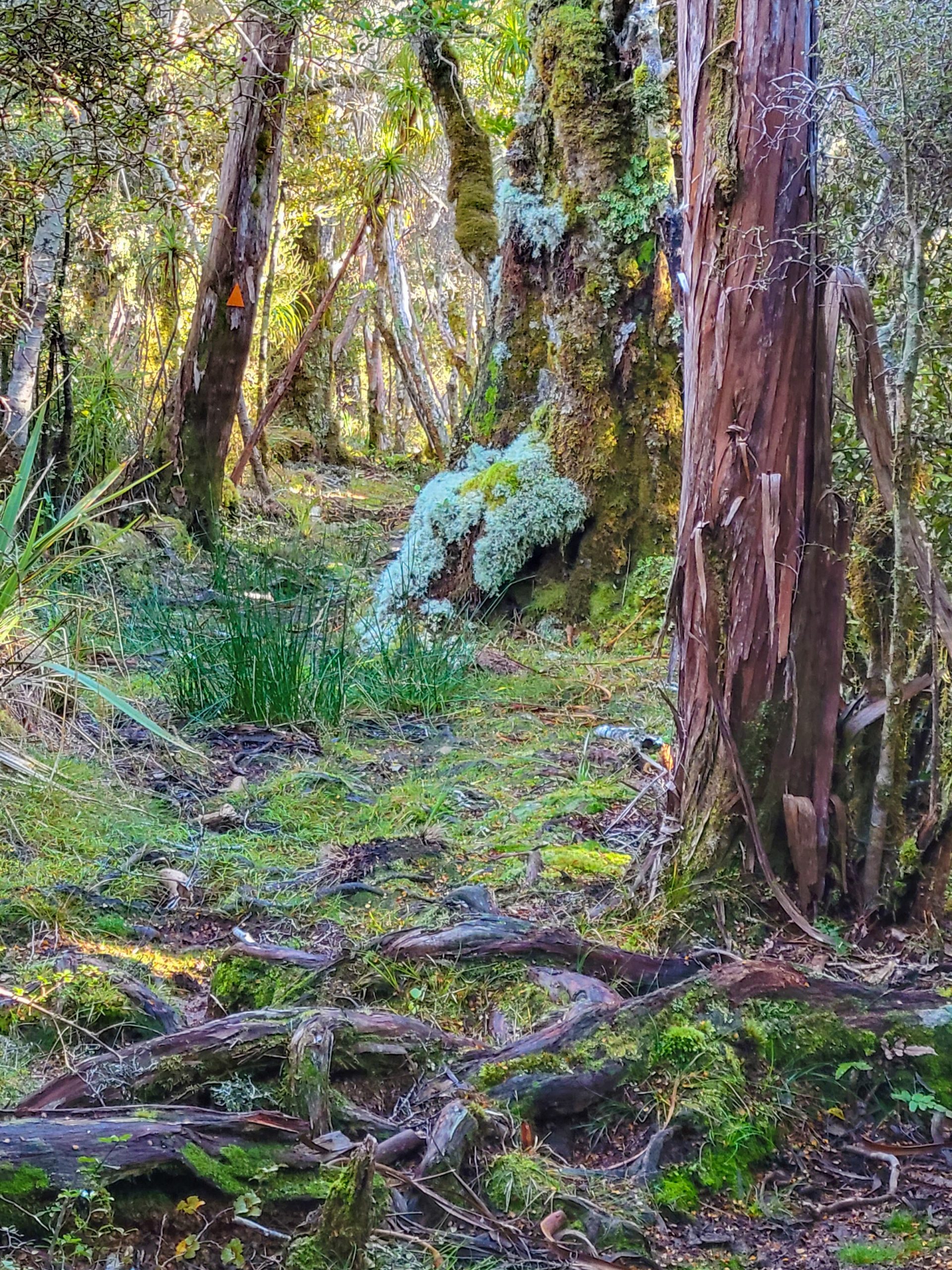
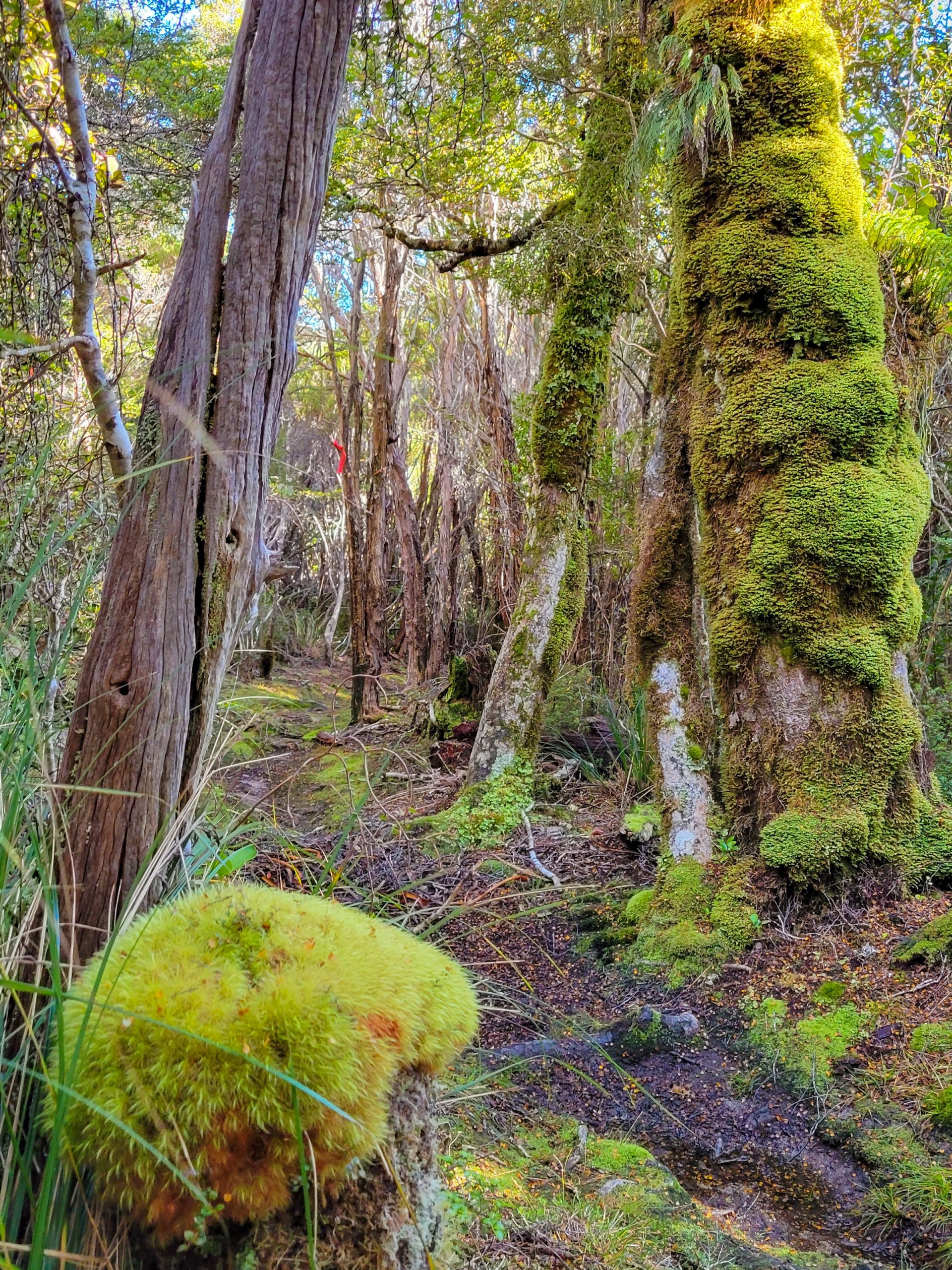
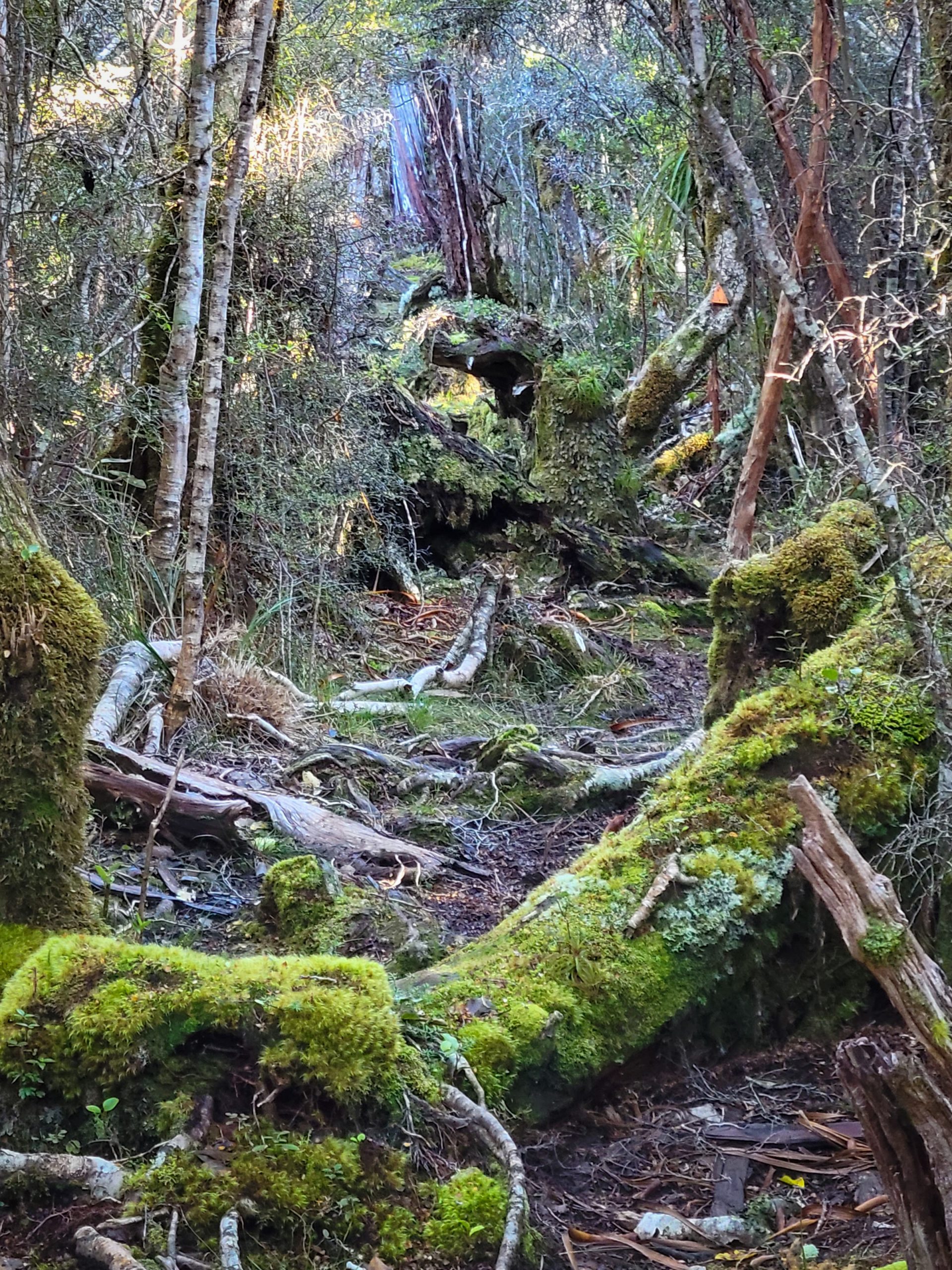
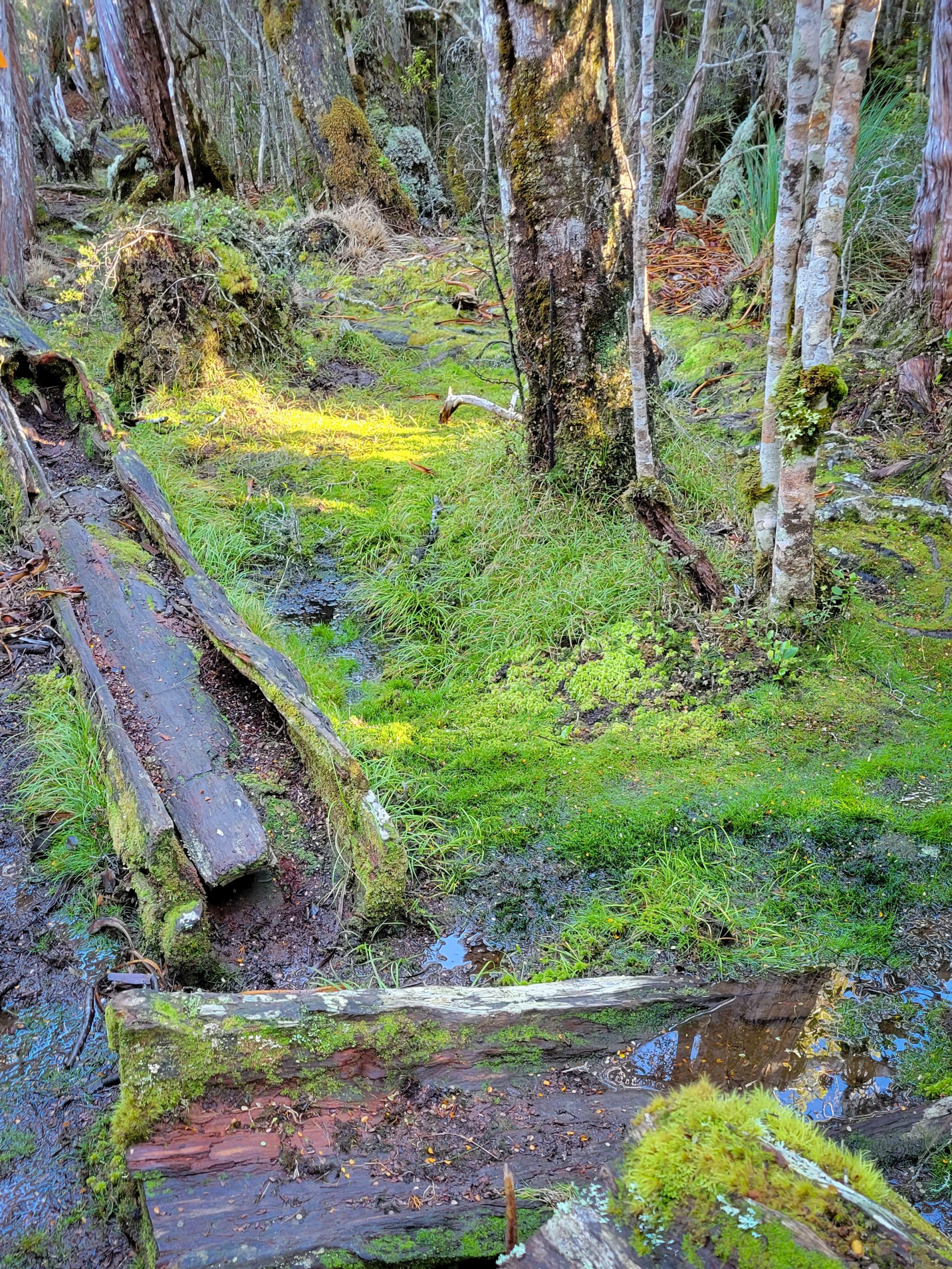
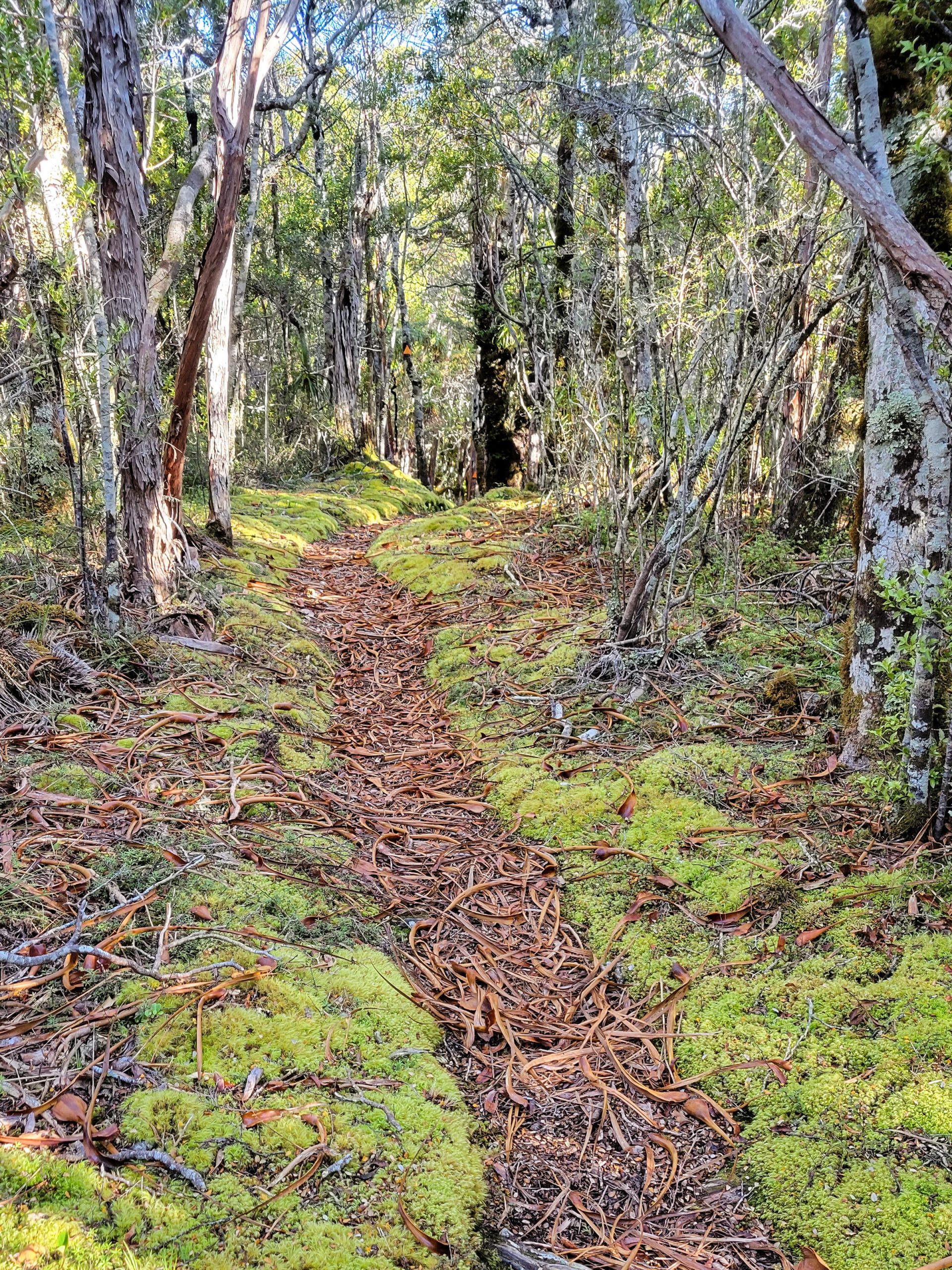
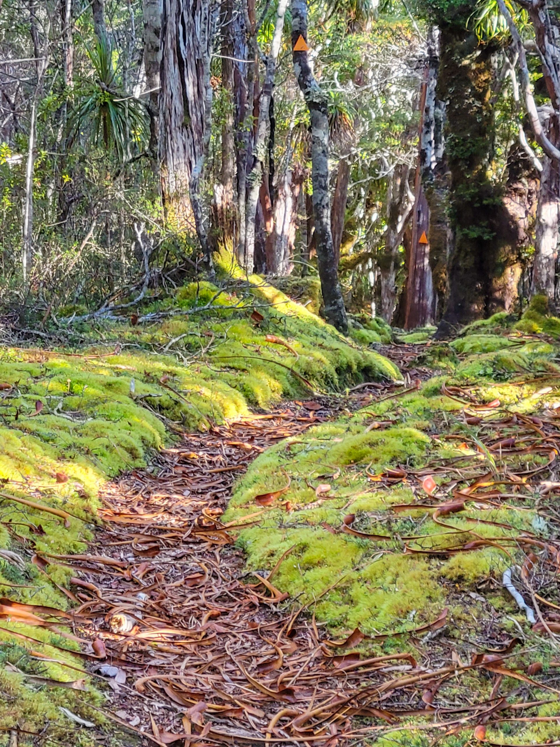
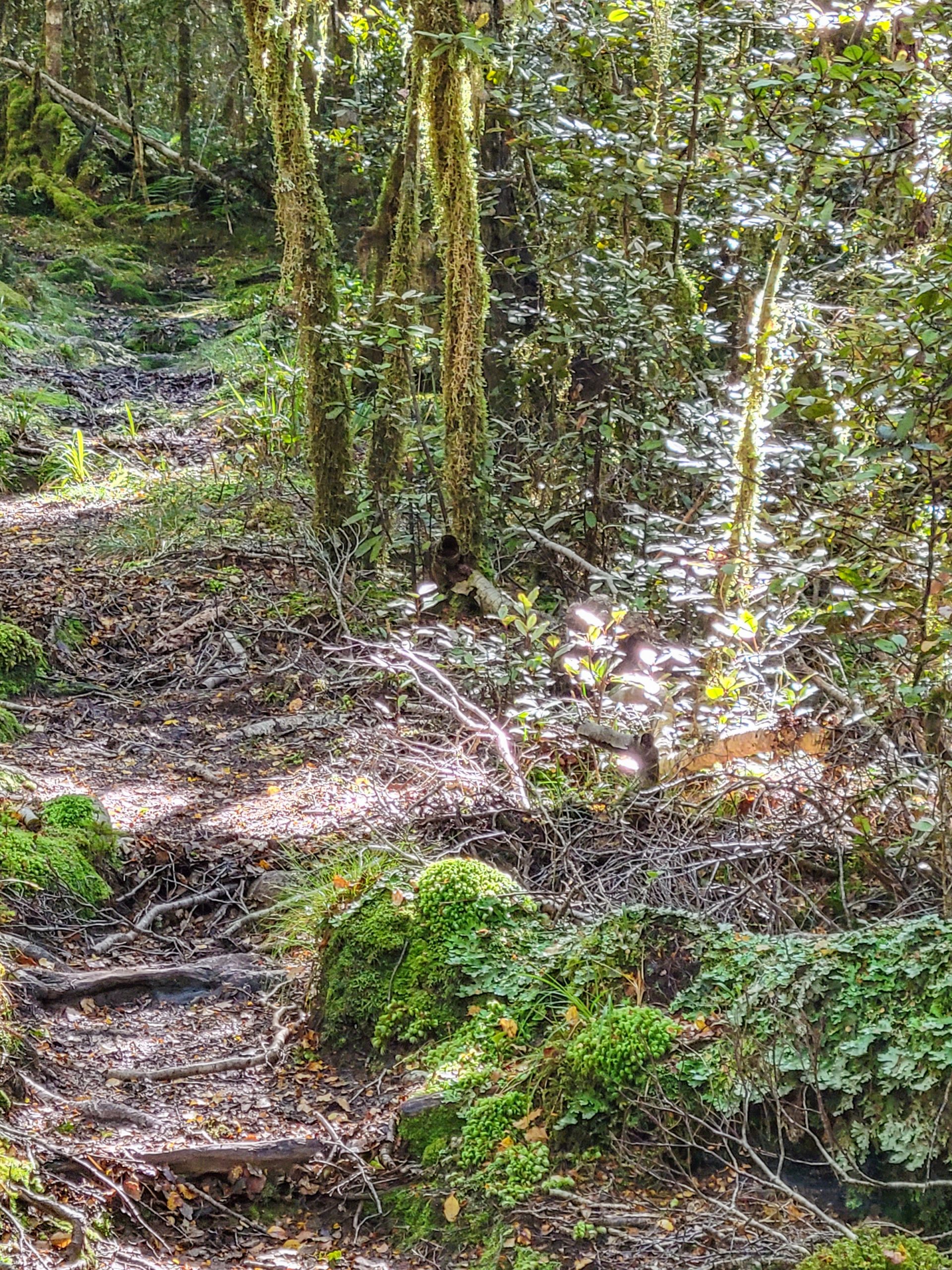
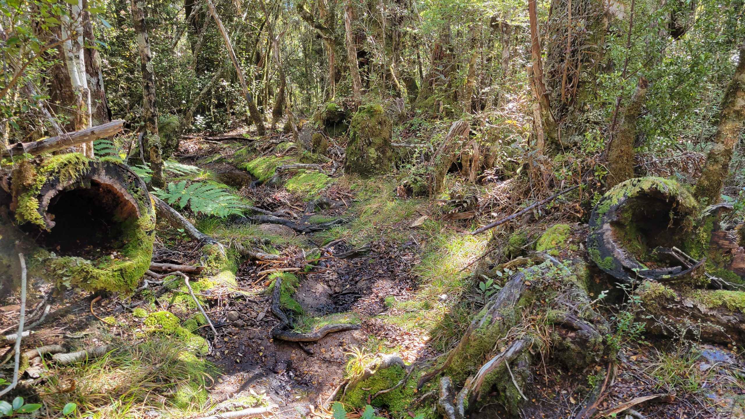
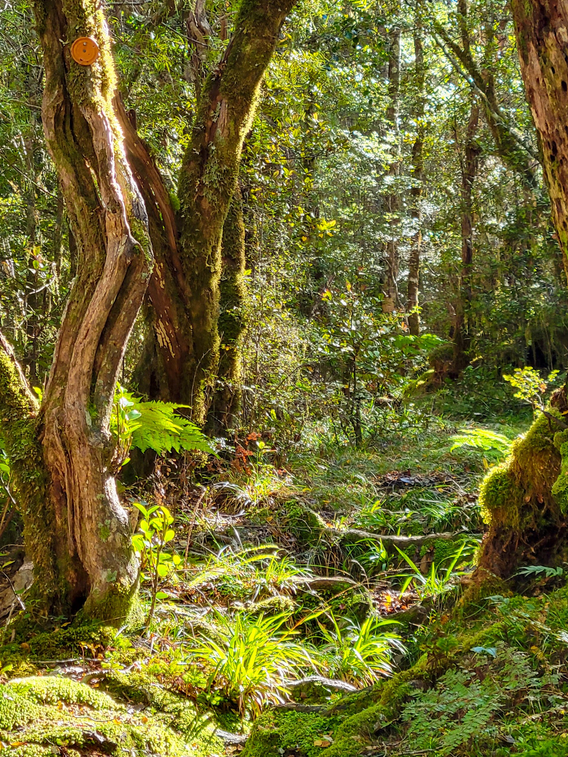
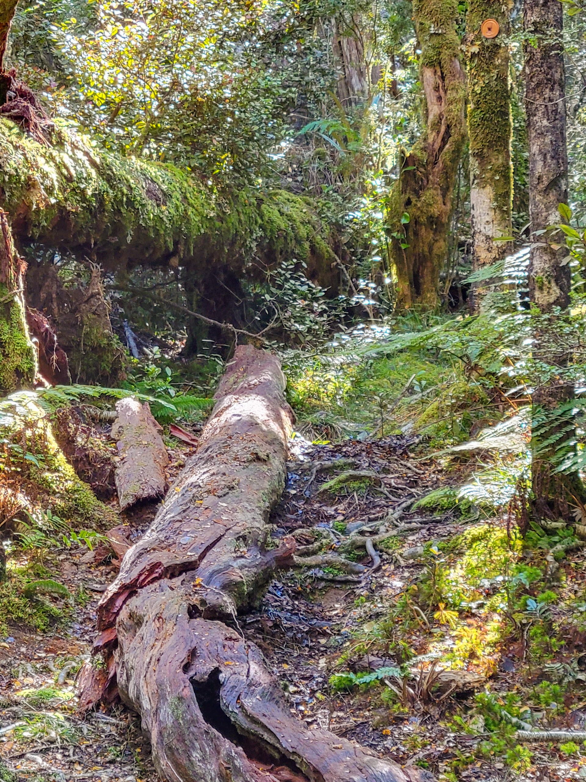
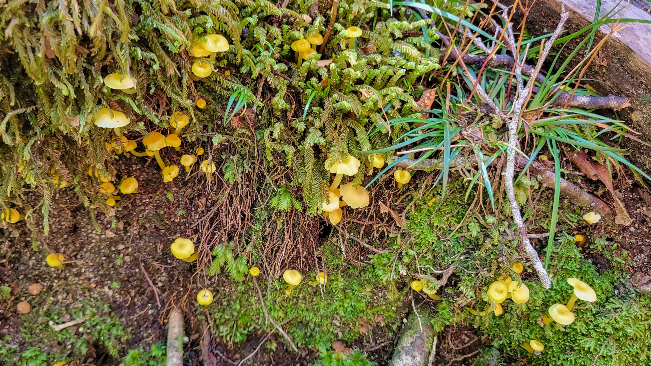
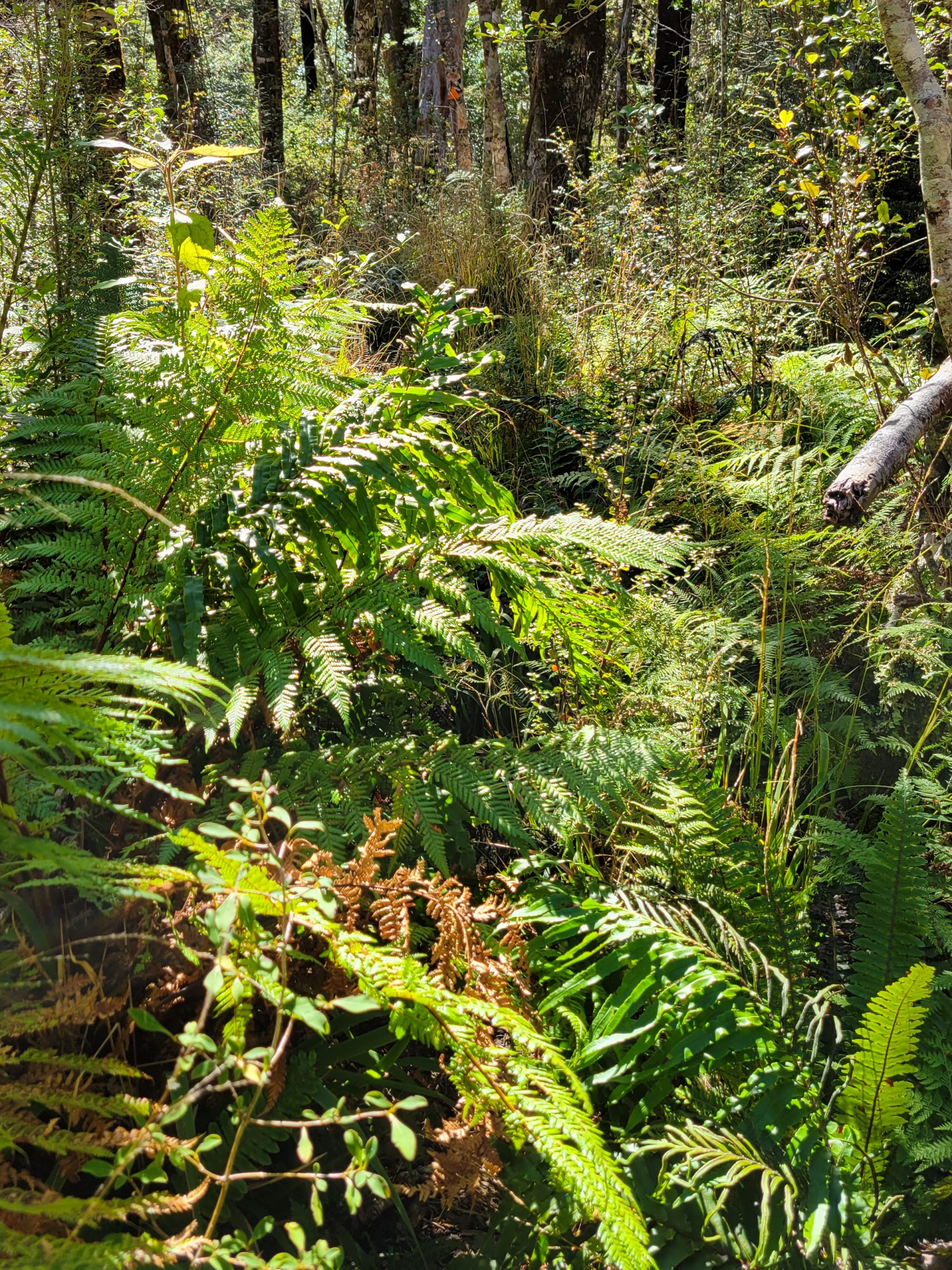
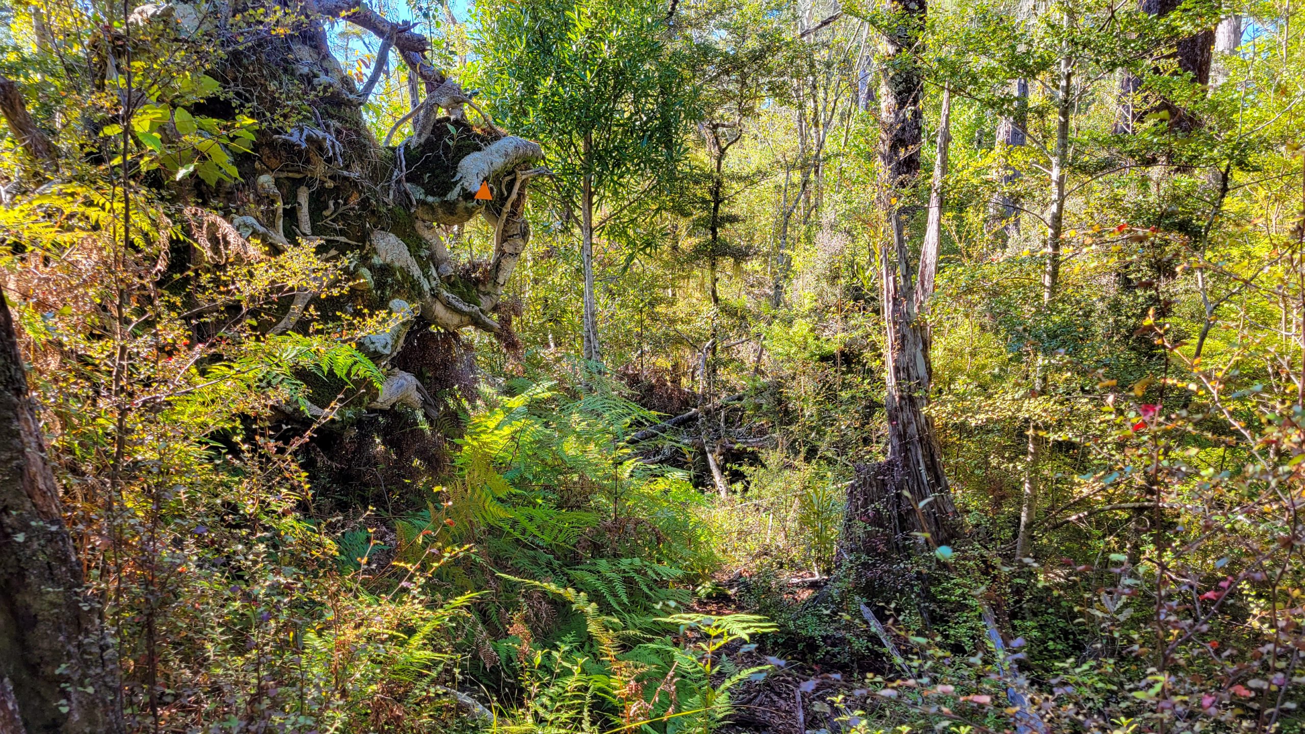
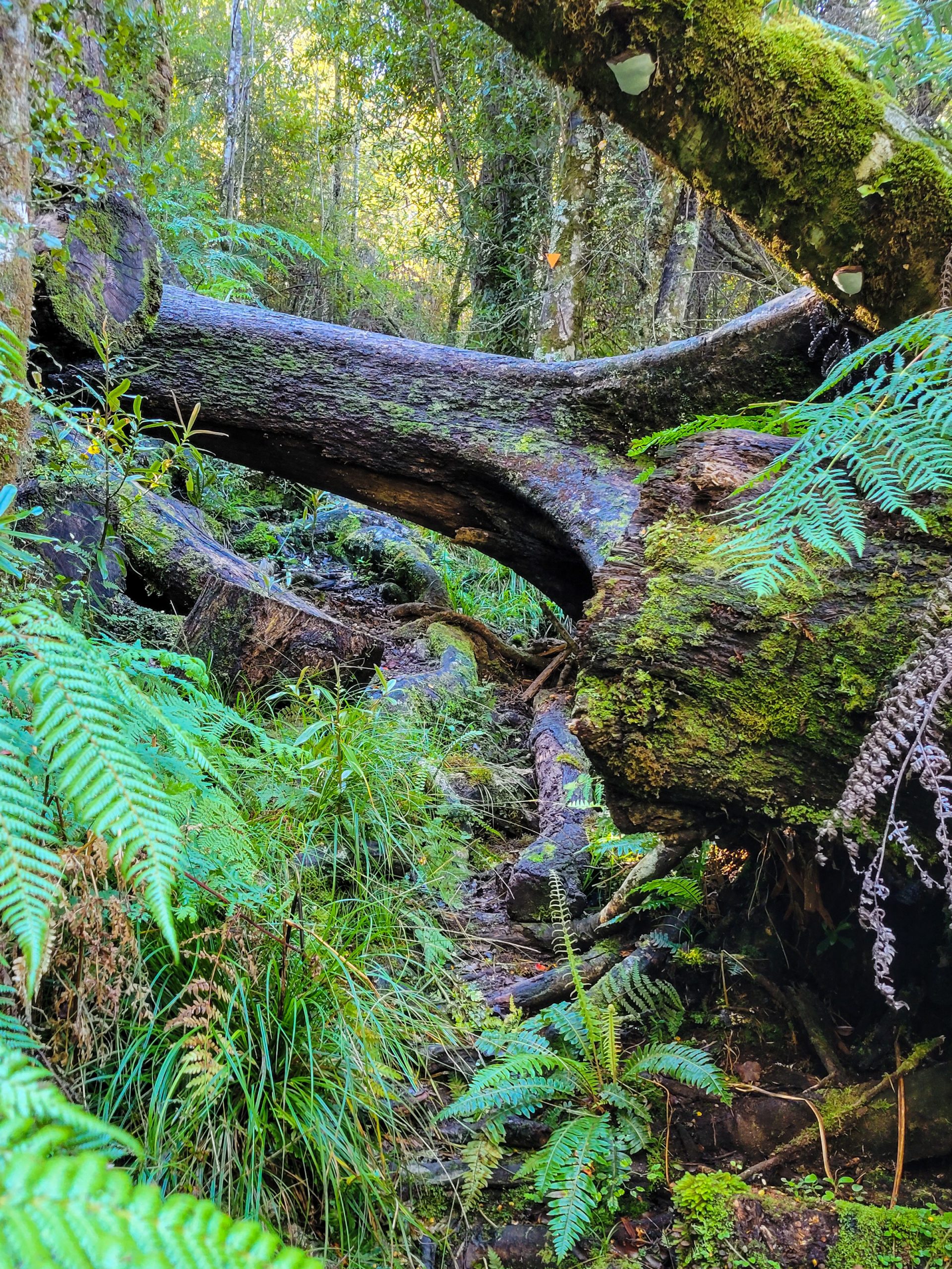
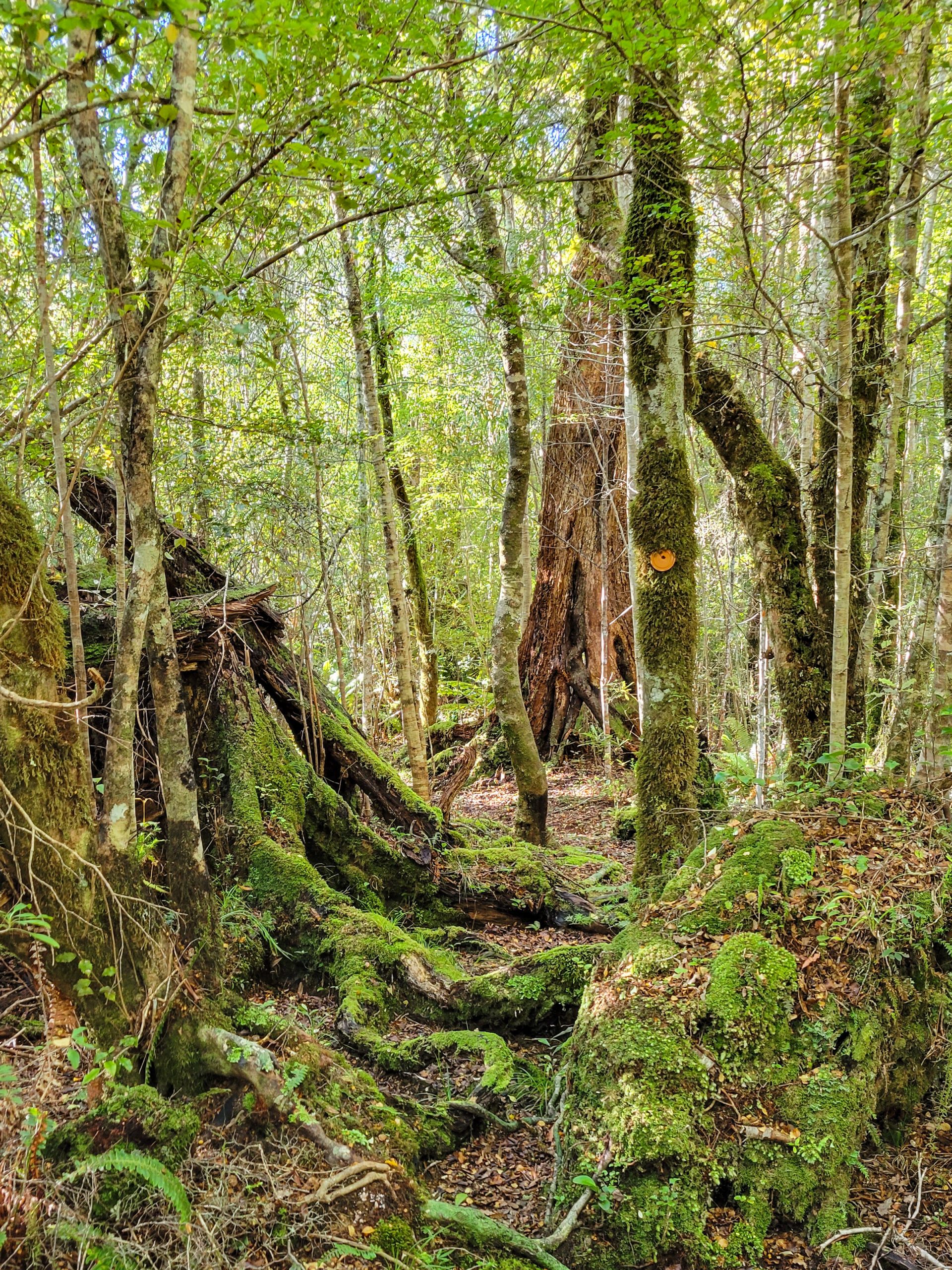
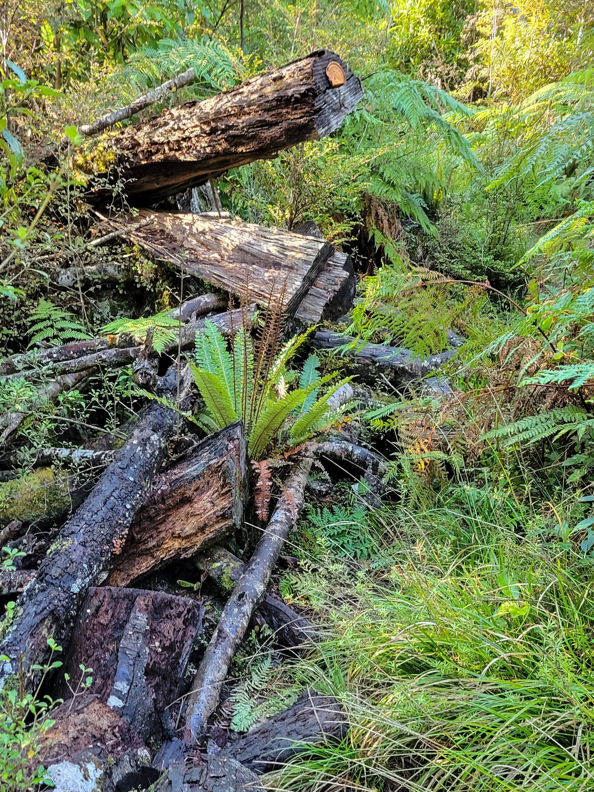
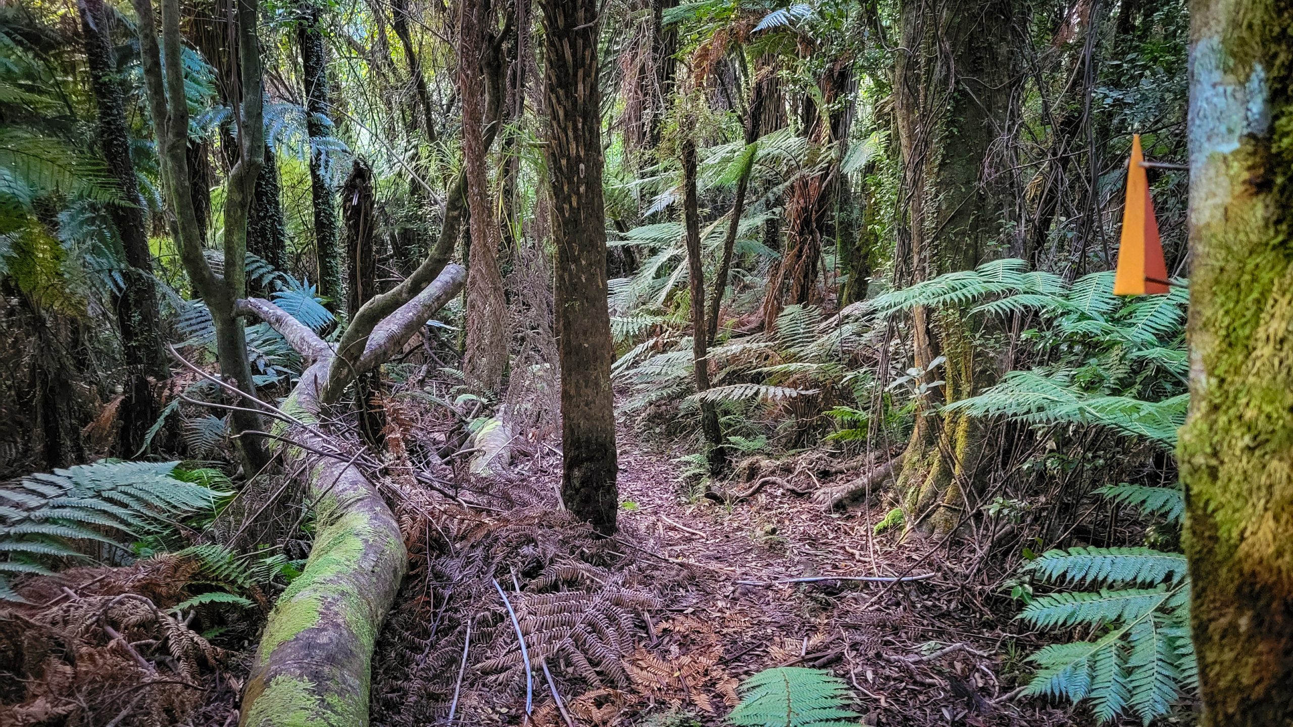
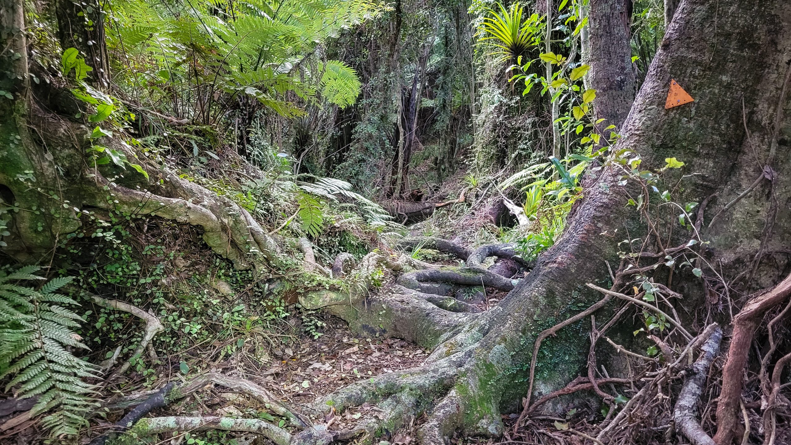
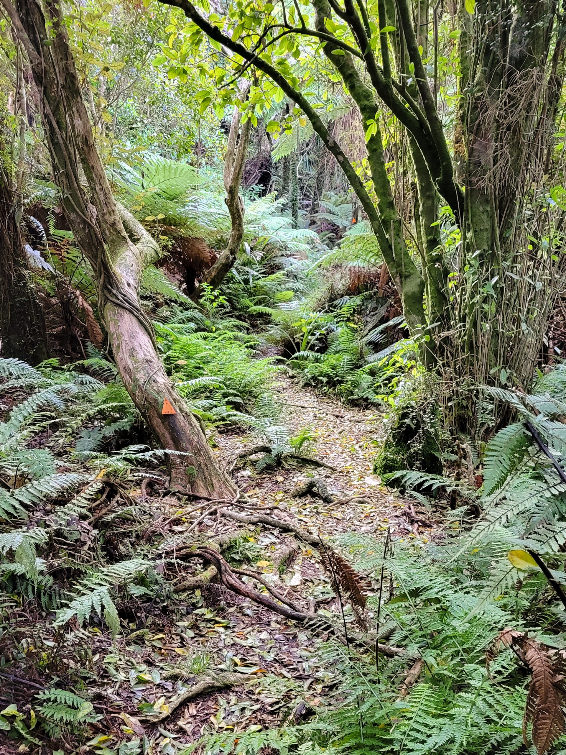
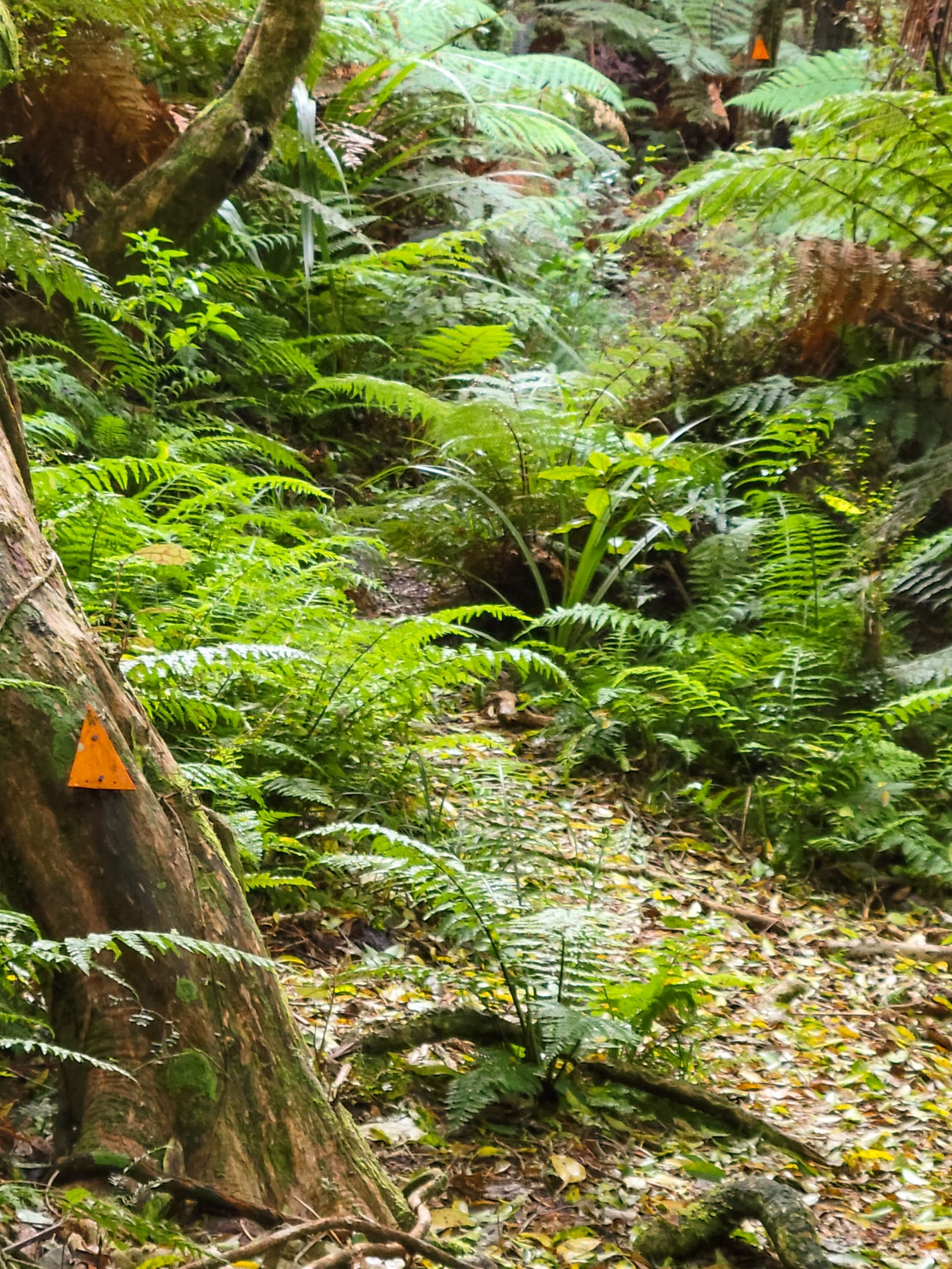
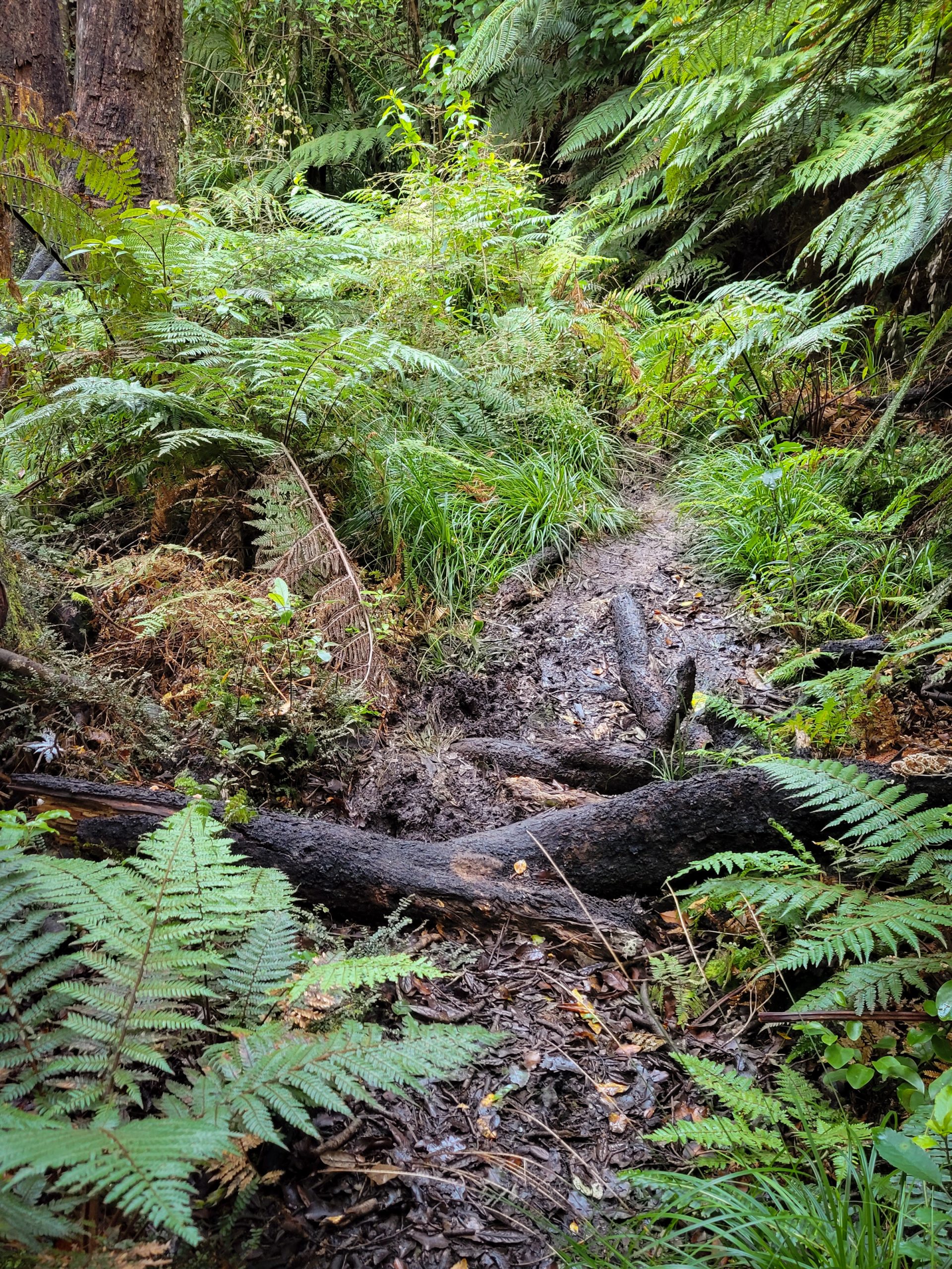
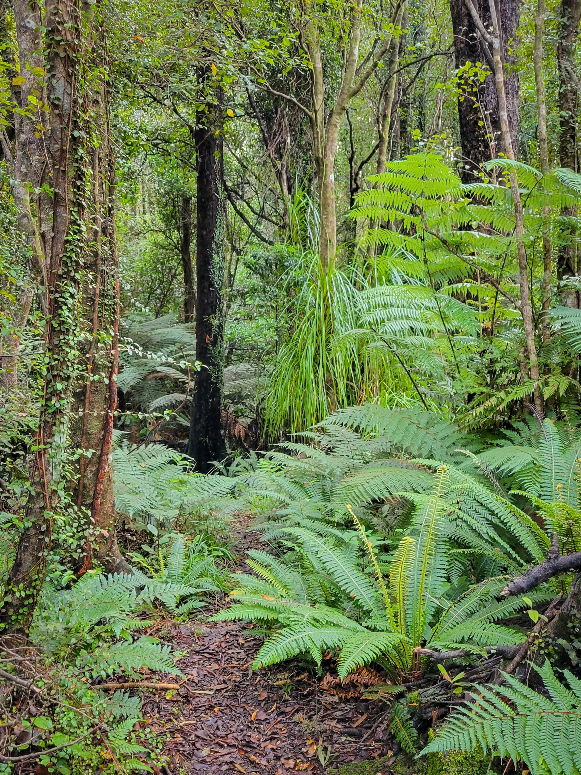
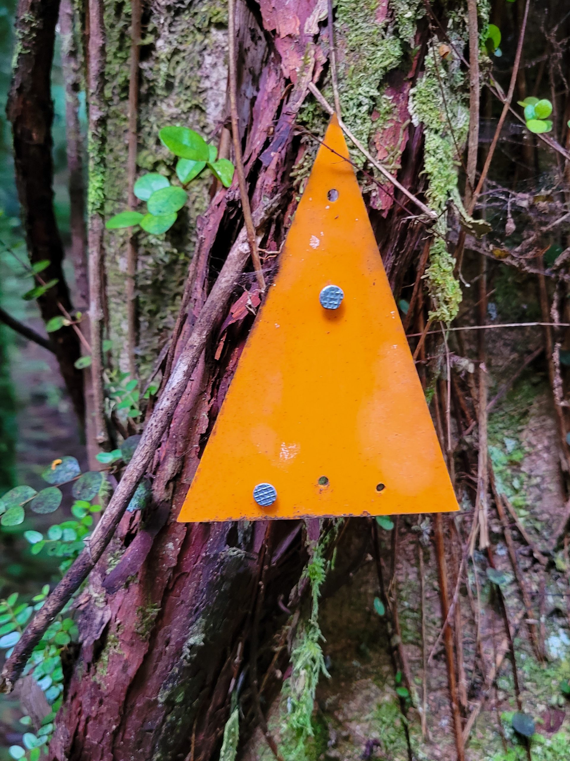
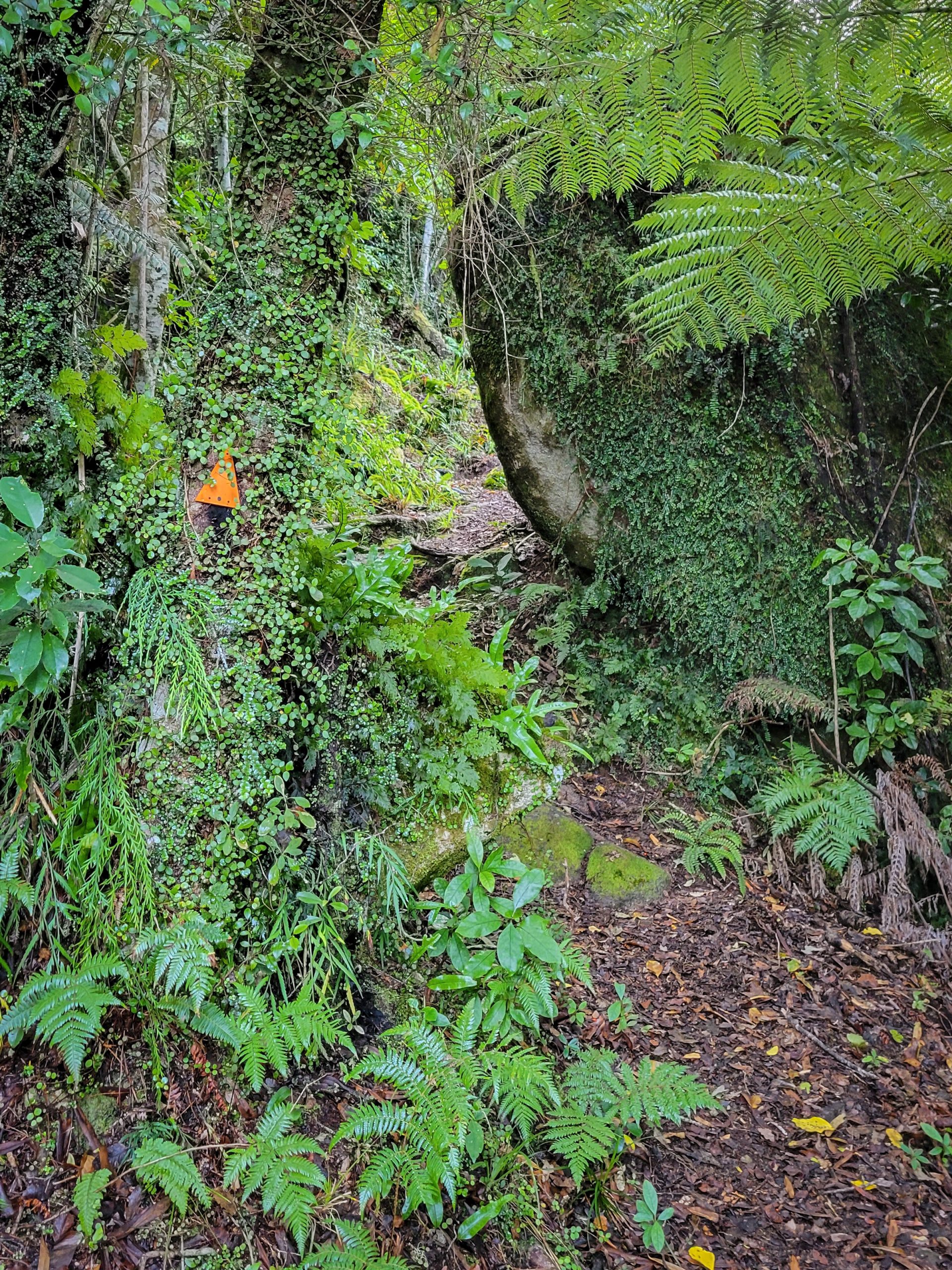
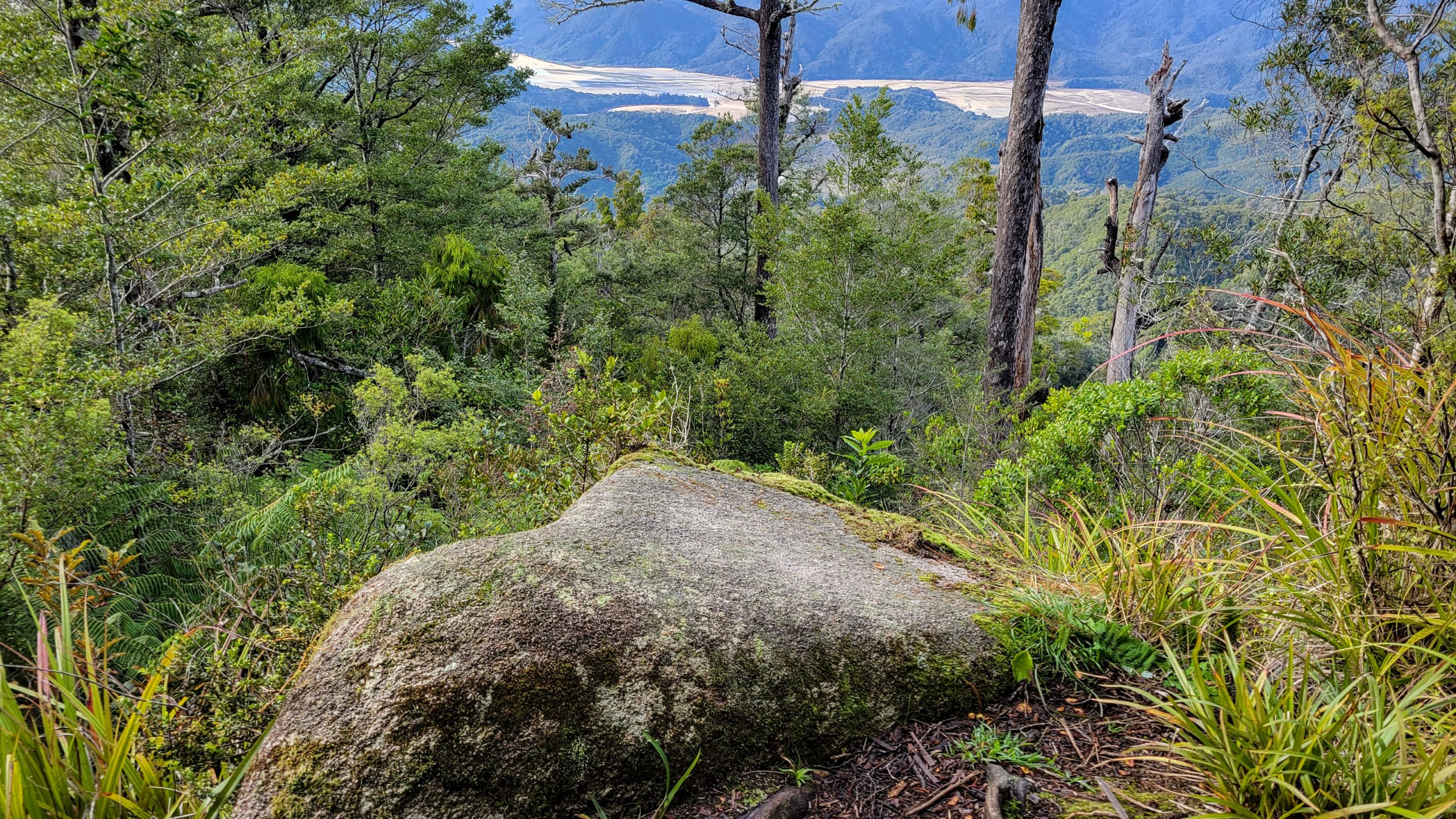
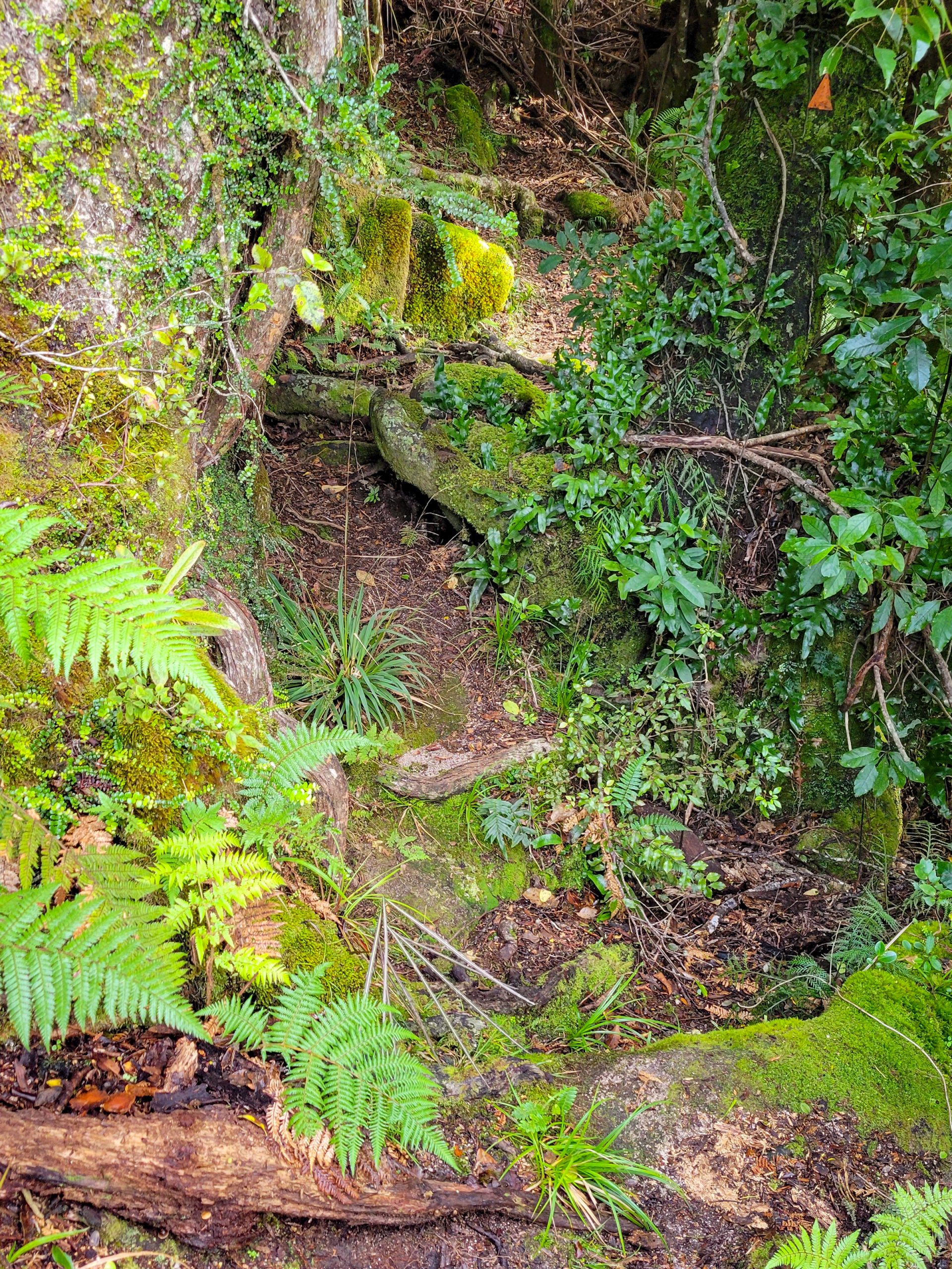
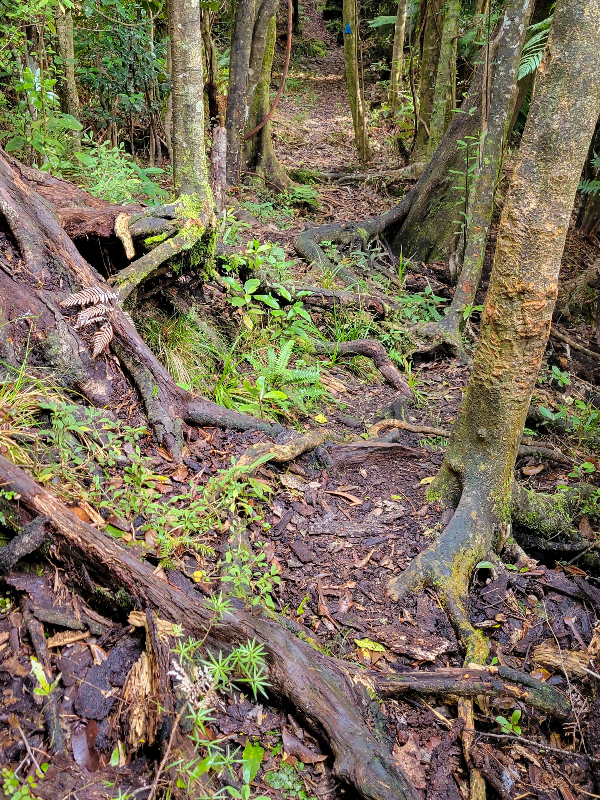
The entrance guardian, a spiritual connection between the walking body and the heart, the ancestral history of the local iwi, carved from stone.And walking I am! The sun has risen and is already touching the Marahau mudflats. Gotta go!10 min on the walk and have already met a handfull of people. That’s why they call the coastal track “the highway”After the Tinline disaster and a few free climbing passages later I’m on track! The small plastic triangles show the way, the blue ones are positions of rat traps, the orange ones mark the path.The first cascade … does it count as river crossing? Nah, but a bit of jumping was involved!Moss, water, damp, leaf clad stones … it was a good idea to do this before autumn hit definitely.An hour into the tramp and the footpath becomes a bit deformed at times. Stones, roots, cuts, sheer cliffs, name it, you get it.At Trafford Rock. Already quite settled with the pace and making up for the lost time at the start. The sun is getting warmer and I’m enjoying the uphill, weirdly.That’s the good times! The perfect walk.And from here, there’s a new difficulty level every 500 m. Roots and steps and steps with roots with odd shapes and some higher than you would comfortably climb.Steps …My shoe on the bottom shows just how high you gotta lift your leg to the next step :DBut the scenery is ever changing from dry to wet, to bushy, to moss and lichen, a wonderland!Through the gaps!Hygrocybe miniata or Scarlet waxcap? Open for suggestions.Looking down at Adele Island already, I’m wowed.11 am and almost on top of the shoulder.The last few km to the first stop are good walking.And then a bit difficult again.The most unforseeable obstacle is my glasses fogging up.Adele moves further away.The very last corner it is!And then Holyoake’s Shelter is right in front of me. I’m super relieved, thinking that this was the worst part that I just mastered!Inside looks cozy, even mattresses are available.The lunch sammy was stuffed quickly and on goes the travel. the hut is still 8 km away.From time to time I’m worried to have lost the path but lucky enough always find another orange triangle that says I’m on the right way.Seriously, without the signage I might have strayed from the path.Mighty roots.And just like that it has become totally normal to stumble upon trees in every stage of decay.Lost it again? Lol! Just take a few deep breaths, center, look around, it’s hard to find but still there … ah! Here! On we go!Here I was spared the climb, just walk through the tree is much more elegant anyways.A small purple pouch fungus on the way, such strange creatures!Suddenly, a new difficulty level hits me. The soaking!At first I didn’t slow down, just put a foot left, one right, hobbling over it, but it became pretty clear soon that this is the best way to loose a shoe :)The track leads up and down, meanders, the only constant is change.Ah! The river crossing I read about. This is easy, but when rainy can turn to an ordeal, obviously.Now walking in the direction of the sun which is coming closer to the horizon in a quick pace.Soldiering on, the orange tin mark always in the corner of my eye.What a perfect looking specimen of a fly agaric.The sun has almost vanished, my steps are getting more erratic now, too, from exhaustion. Gotta get to the hut soon and be more careful at the same time … just another hour probably.An optimistic view into the foggy bush, somewhere where tonight’s hut should be situated.Another long jump.And after reaching a clearing of sorts, there finally is light at the end of the tunnel!The small but very tidy Castle Rock Hut. This small woodburner was fantastic, it warmed the place up in no time, unfortunately there was no firewood in the pit at all and I had to go scavenging the surrounding wood for dry logs before I could go ahead with dinner plans.Many thanks to the person who left these funky lefties … it made all the difference :)Sunset at Castle Rocks.
Day 2 – 28.4.2023 – Castle Rock Hut to Awapoto Hut, 6 hours (9 hours in real life)
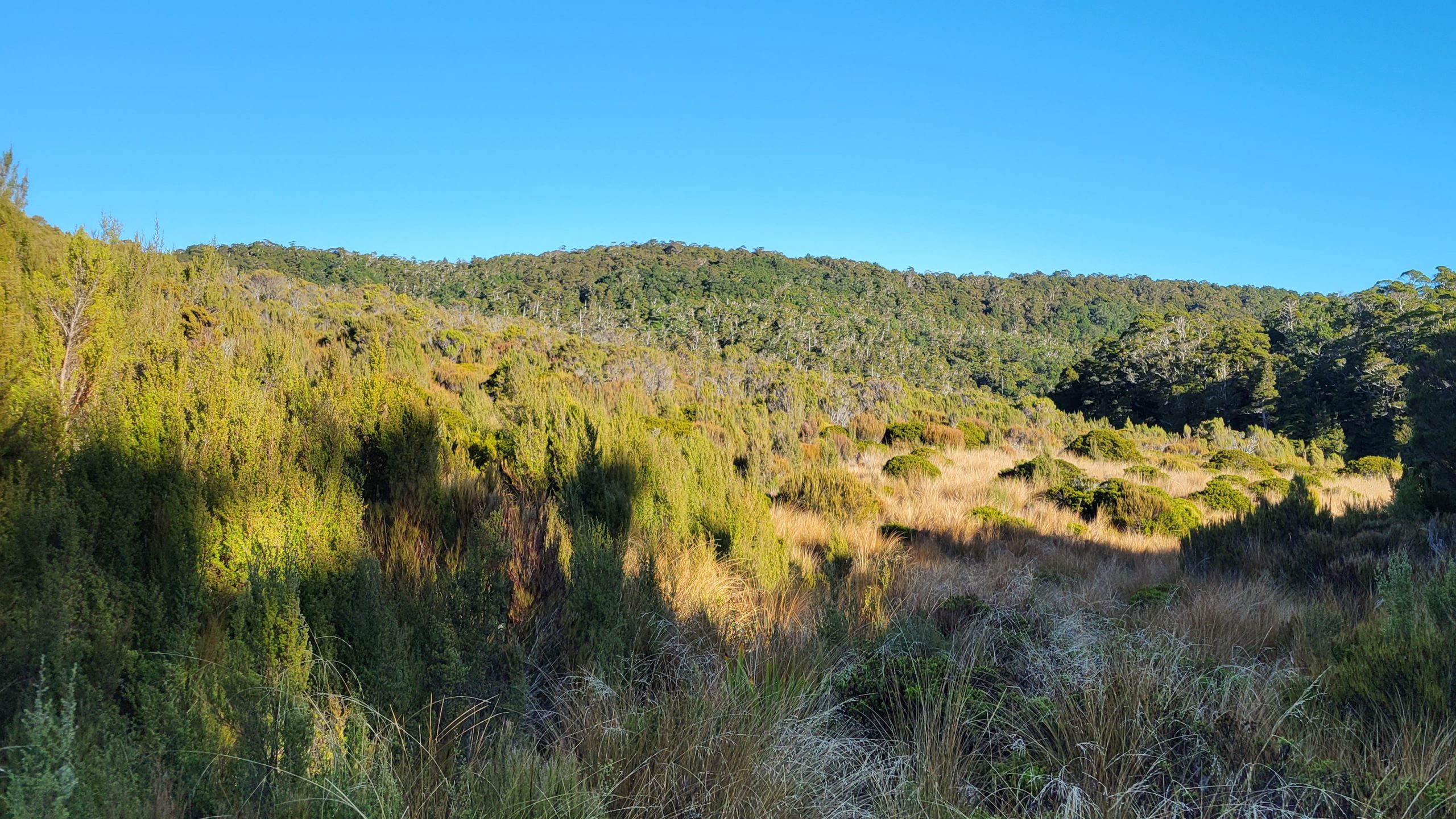
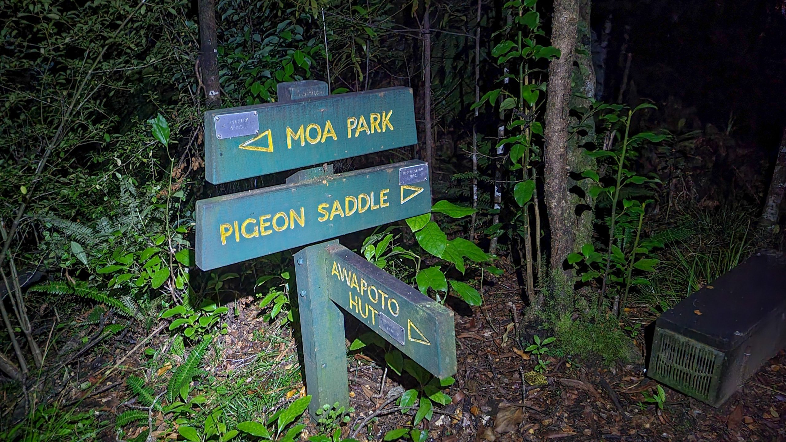
The track heads northwards from then turns west and begins climbing. The gradient steepens and then levels again, undulates for a while before descending to Moa Park Shelter. After a stream crossing and climbing a bit, the track re-enters the stunted beech forest. Upon reaching Evans Ridge it turns north, beginning a gradual descent to Awapoto Hut (with a lots of ups and downs in between lol).
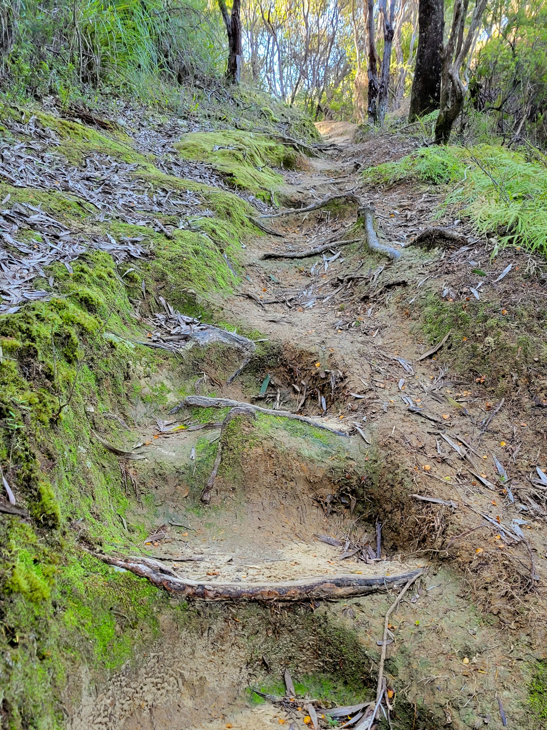
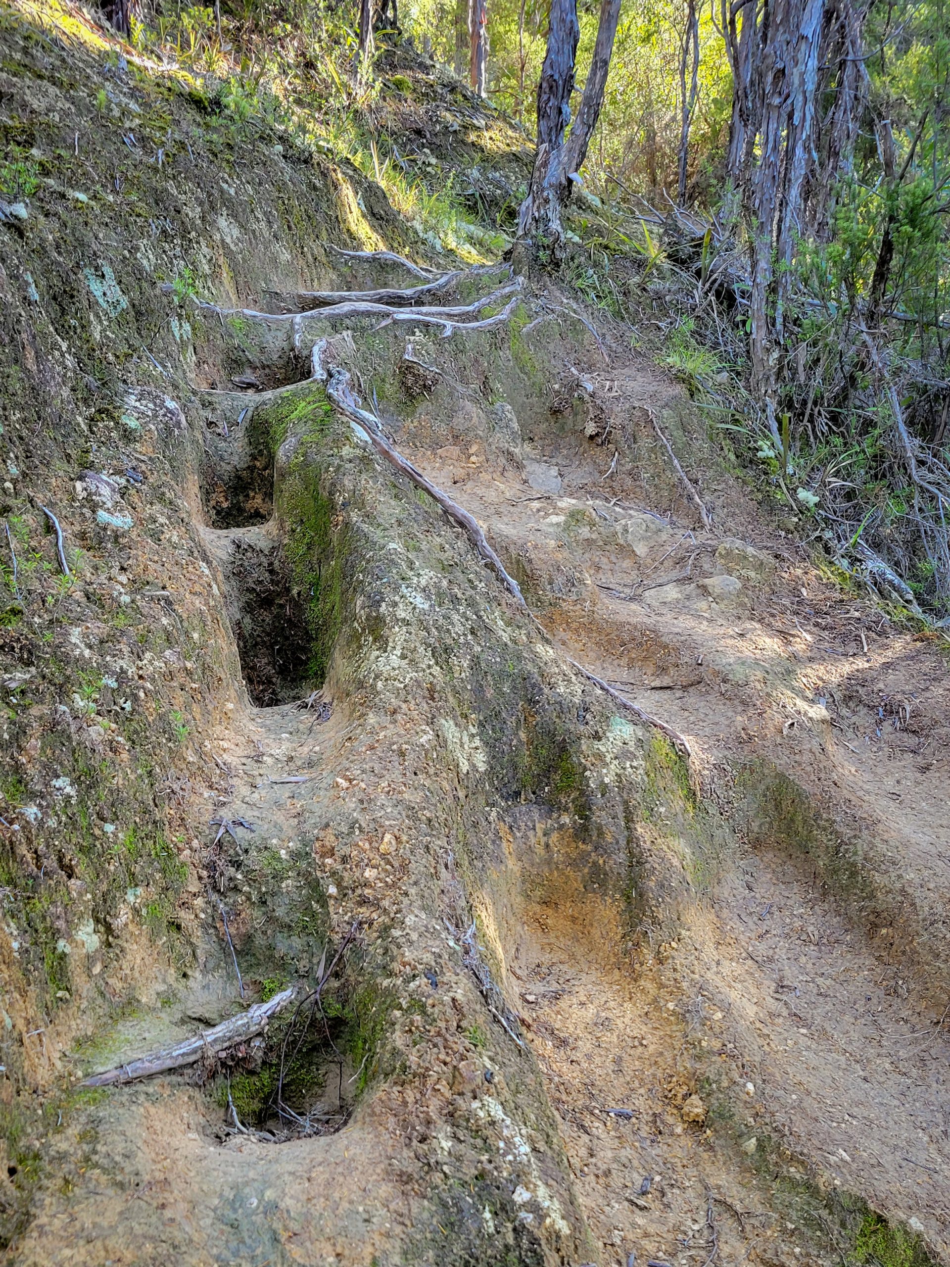
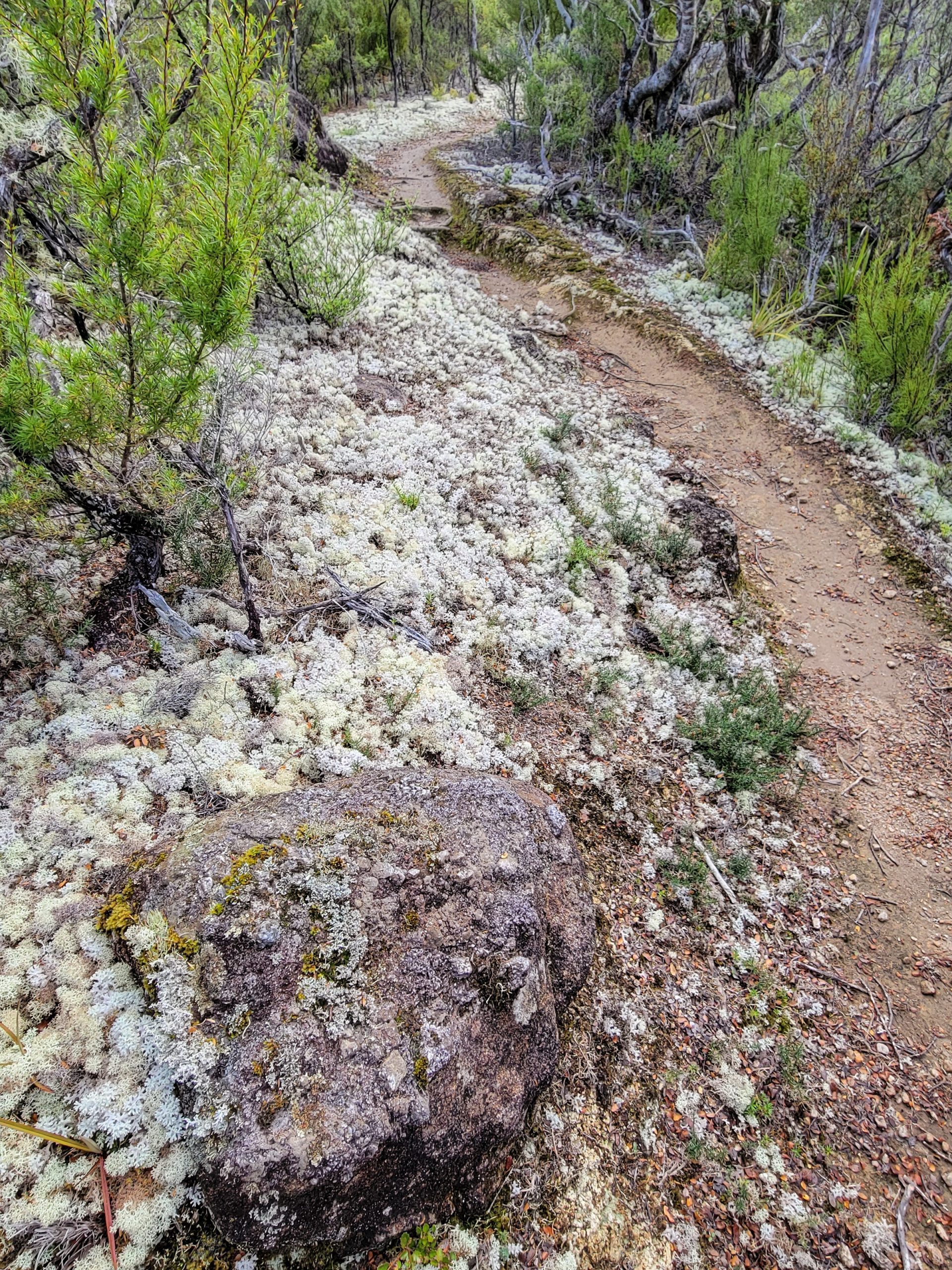
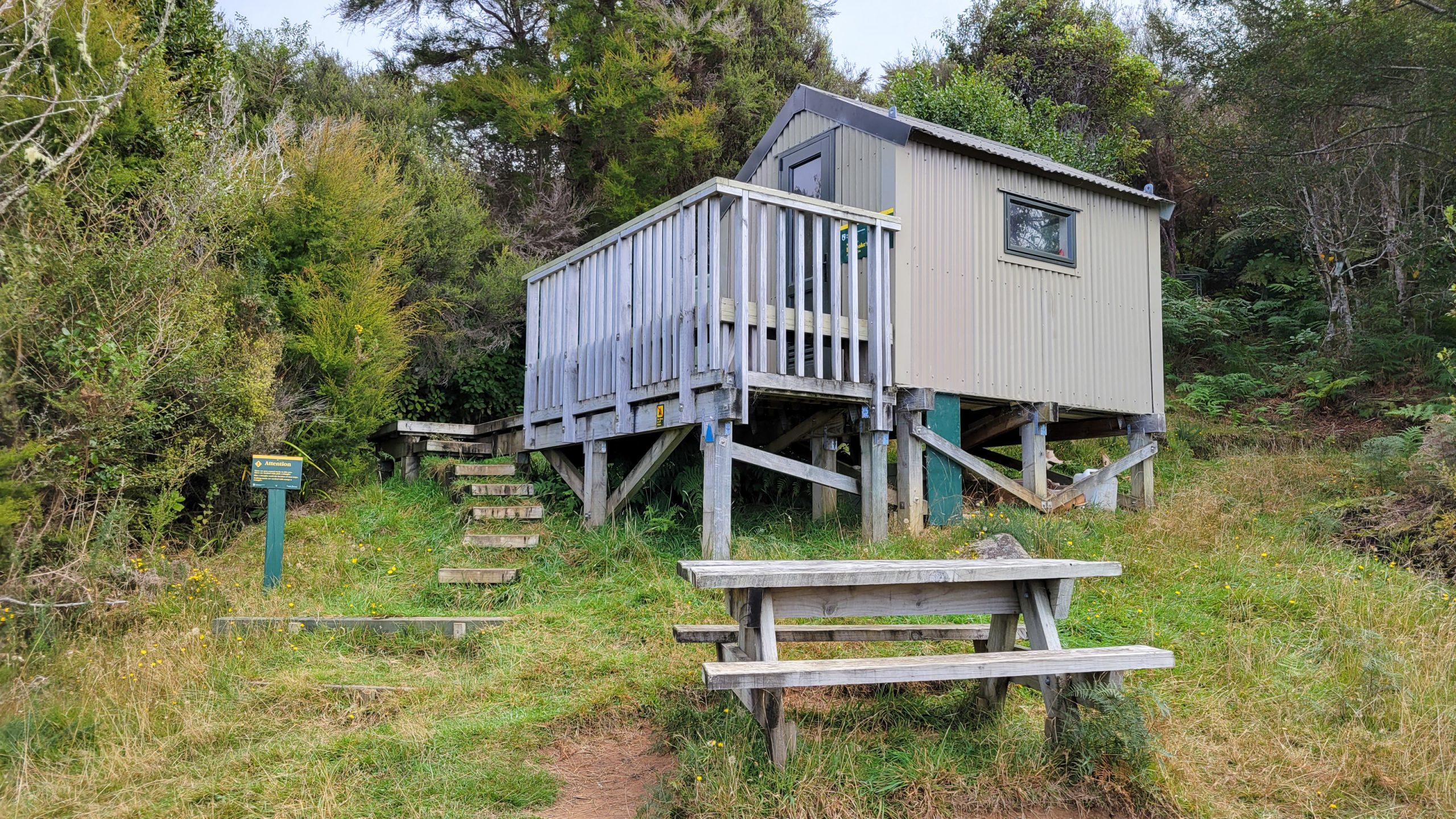
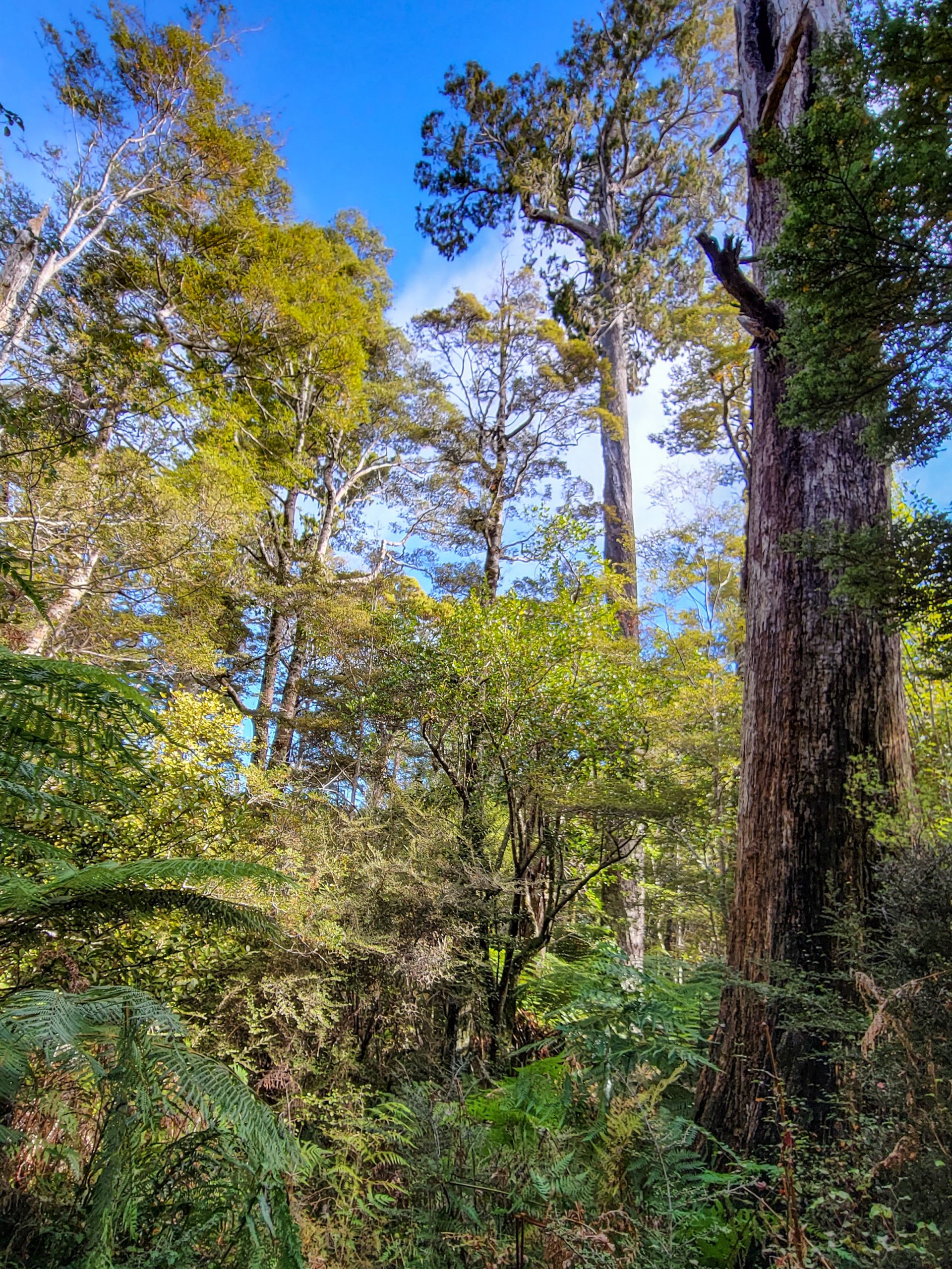
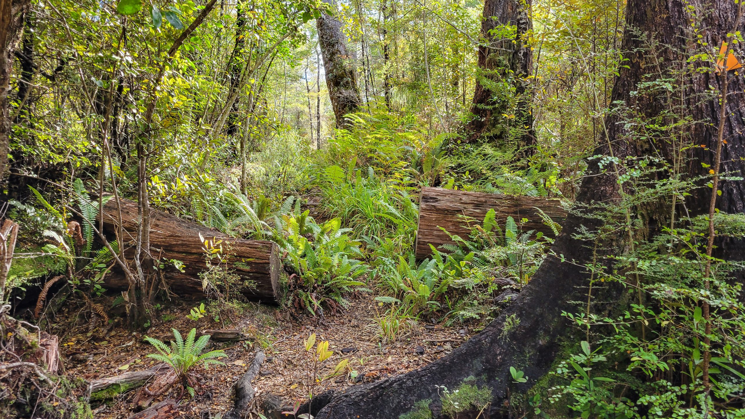
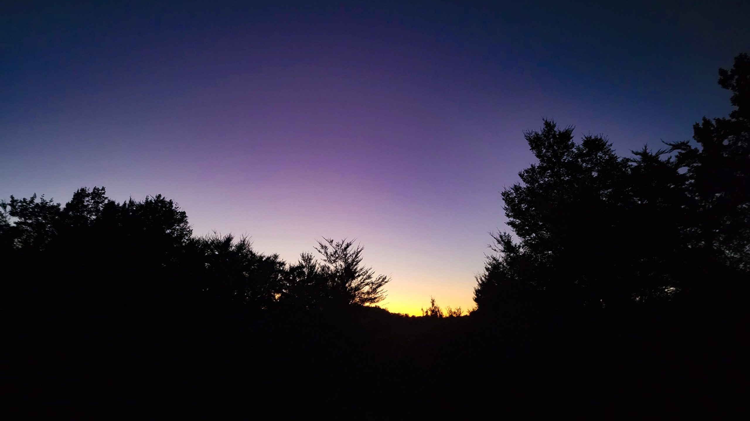
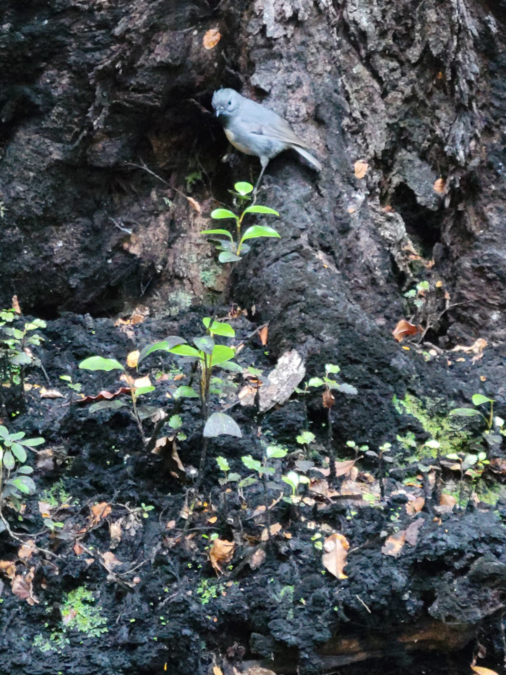
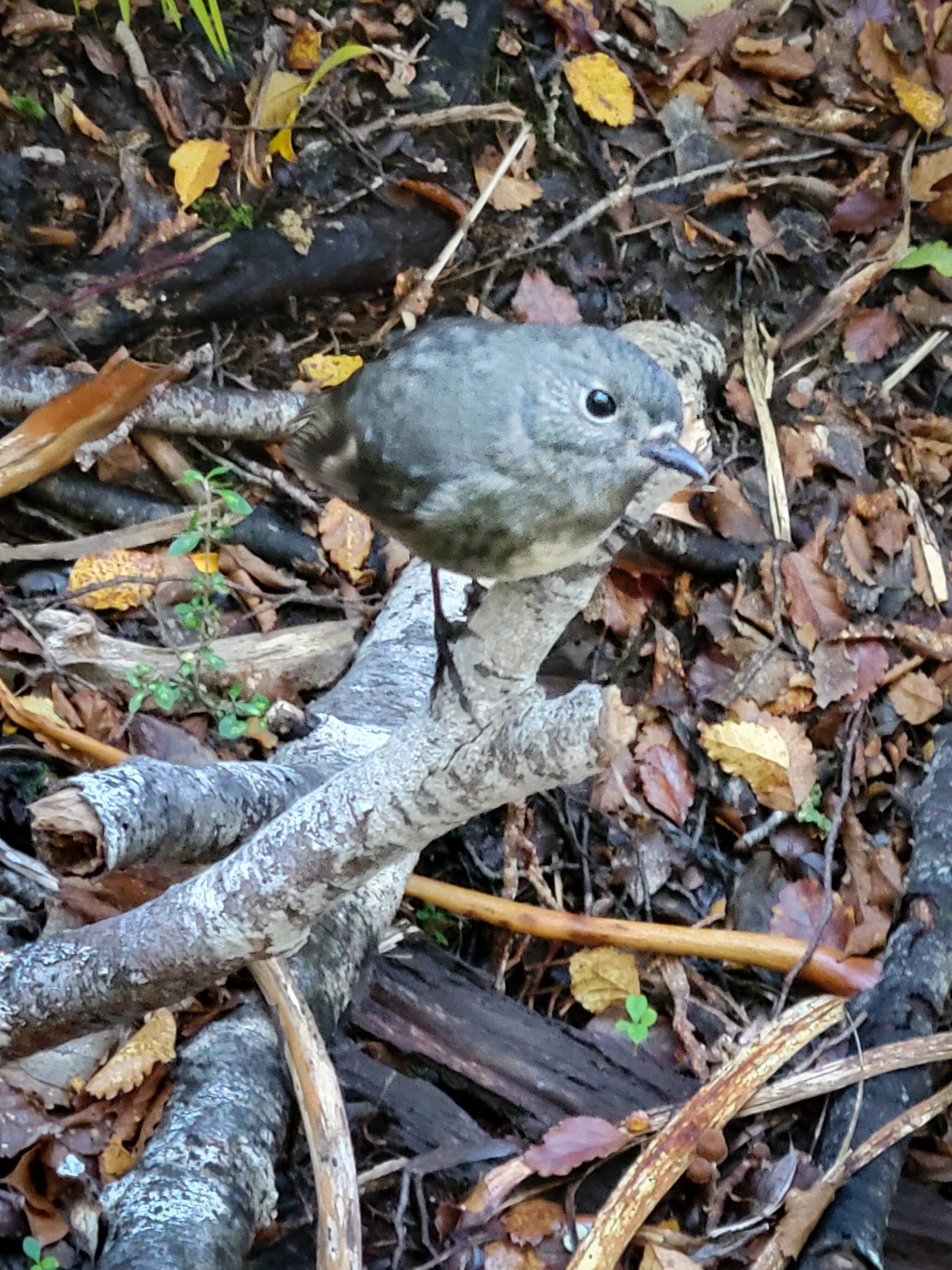
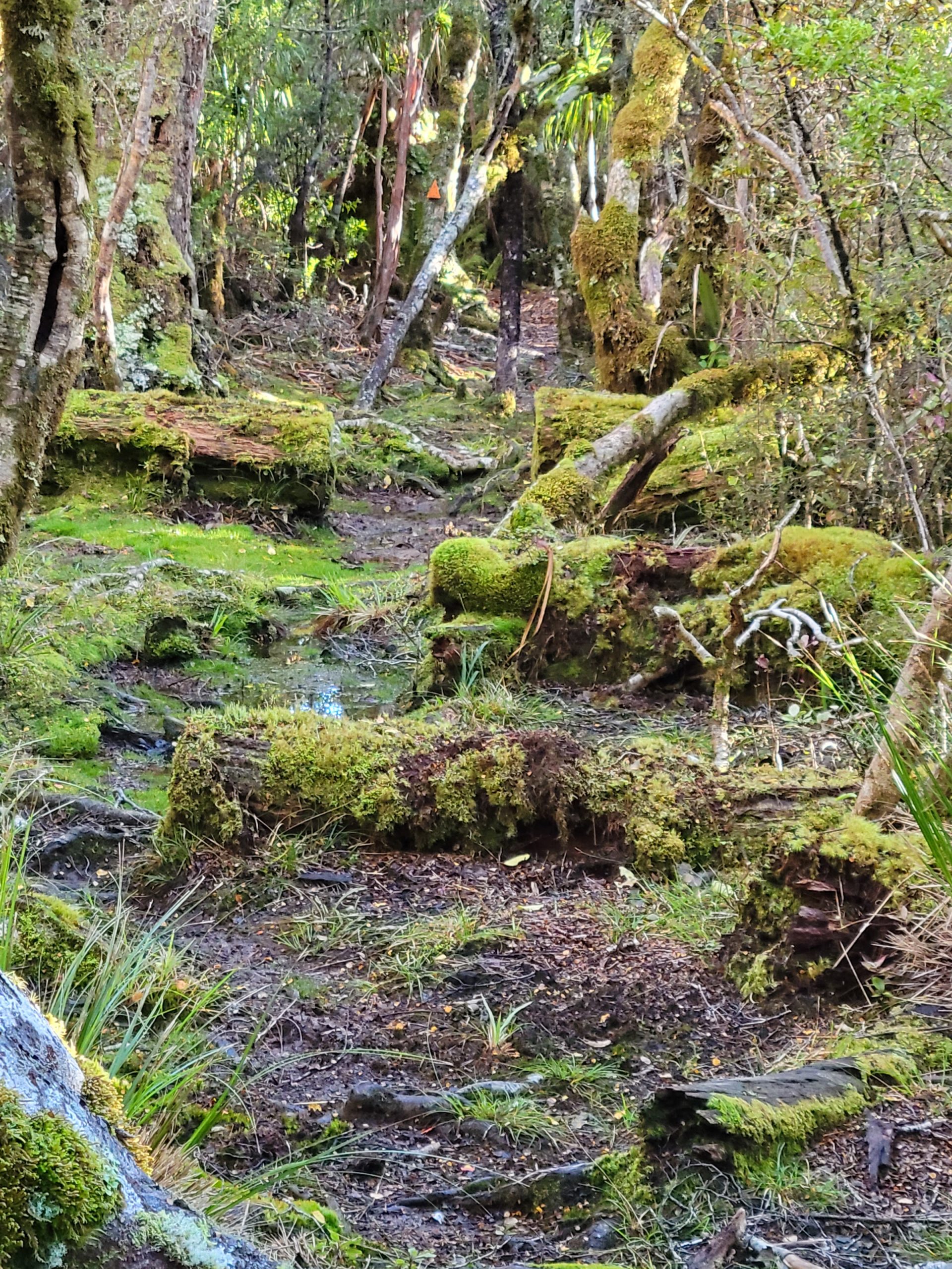
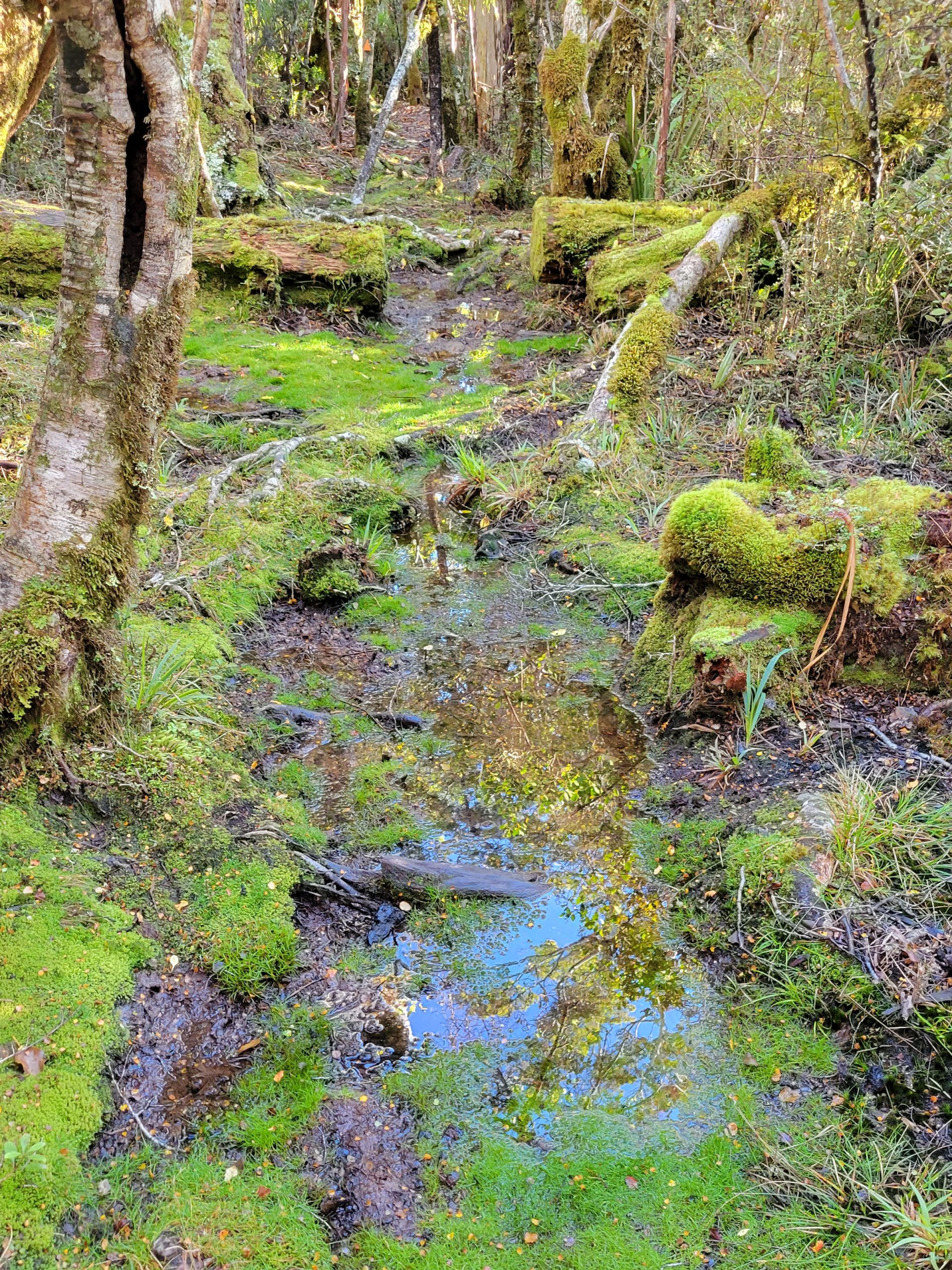
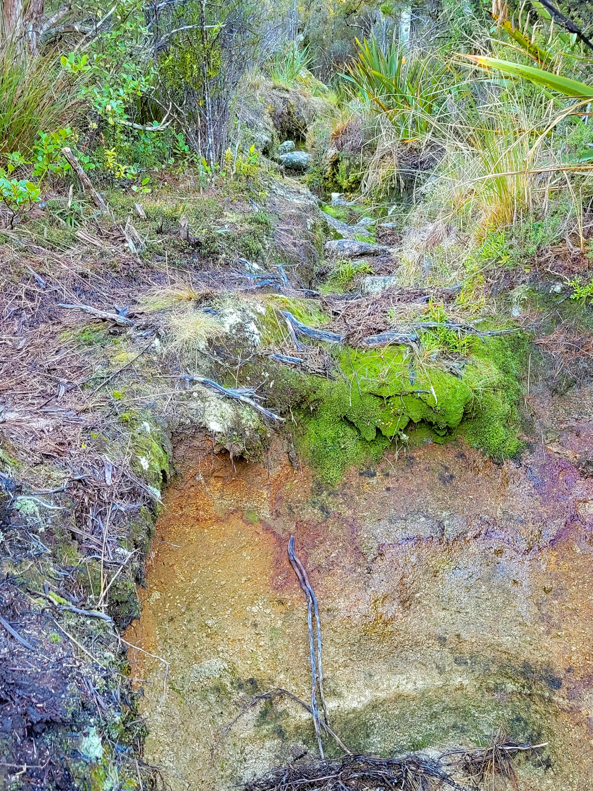
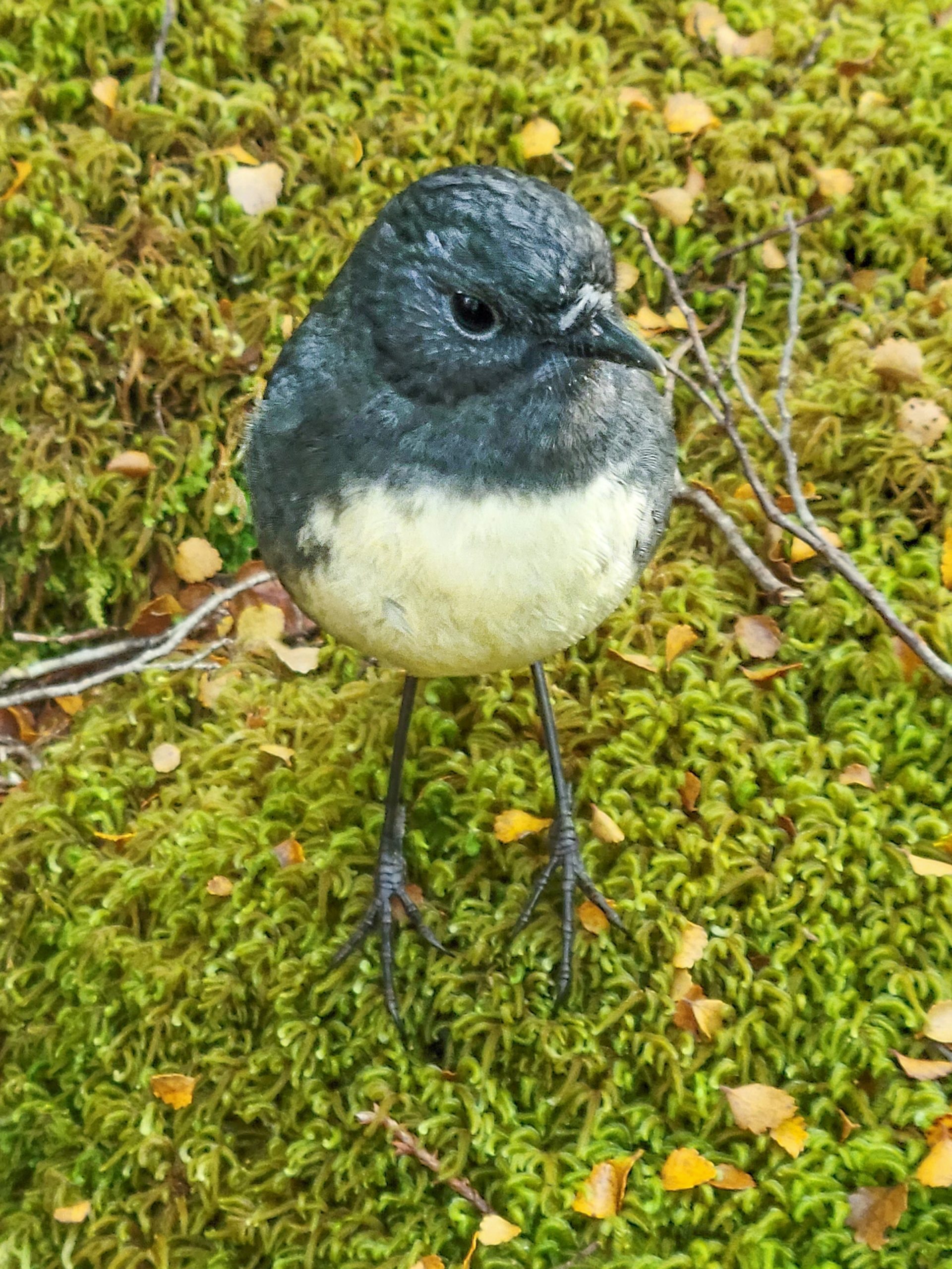
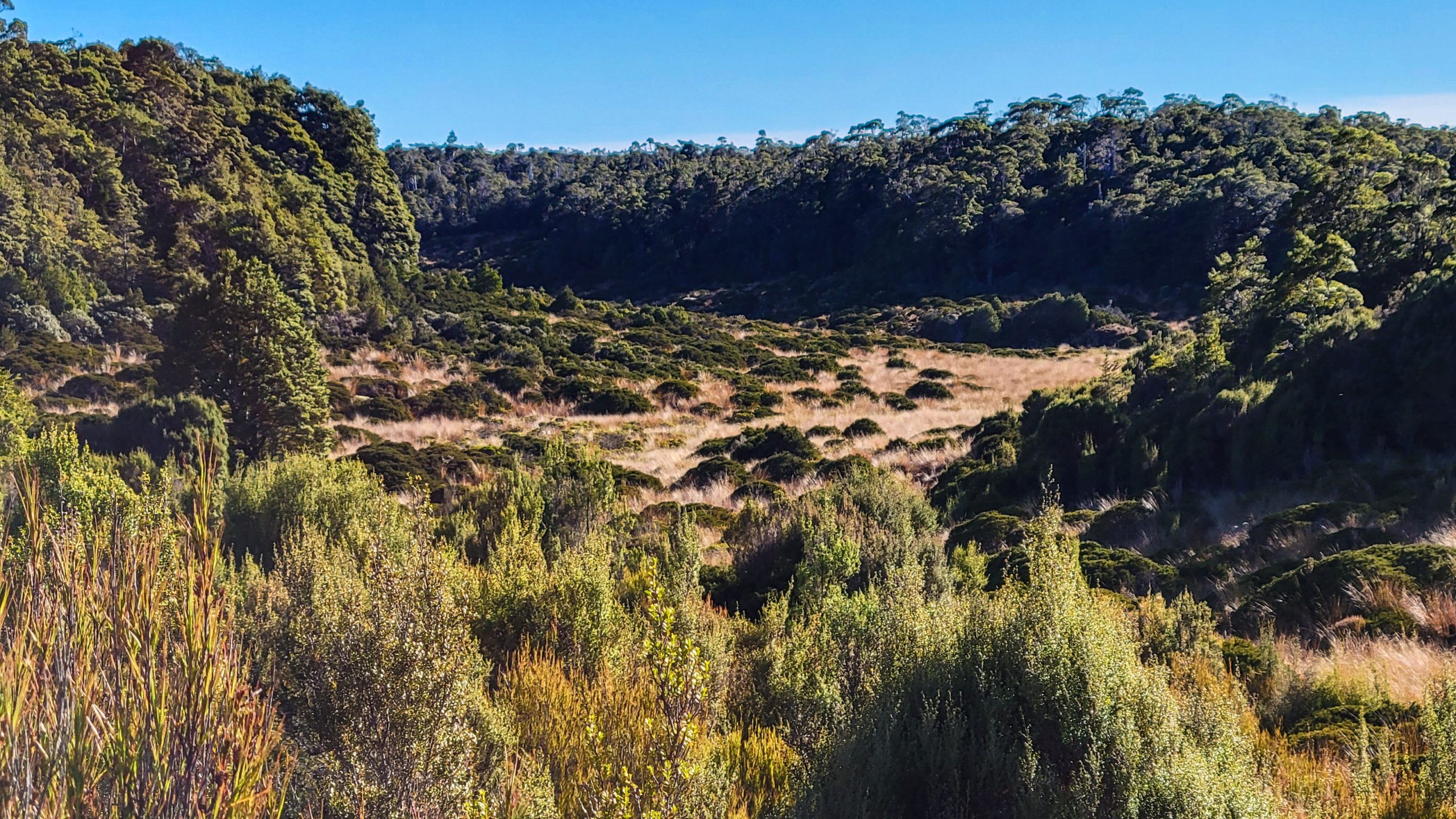
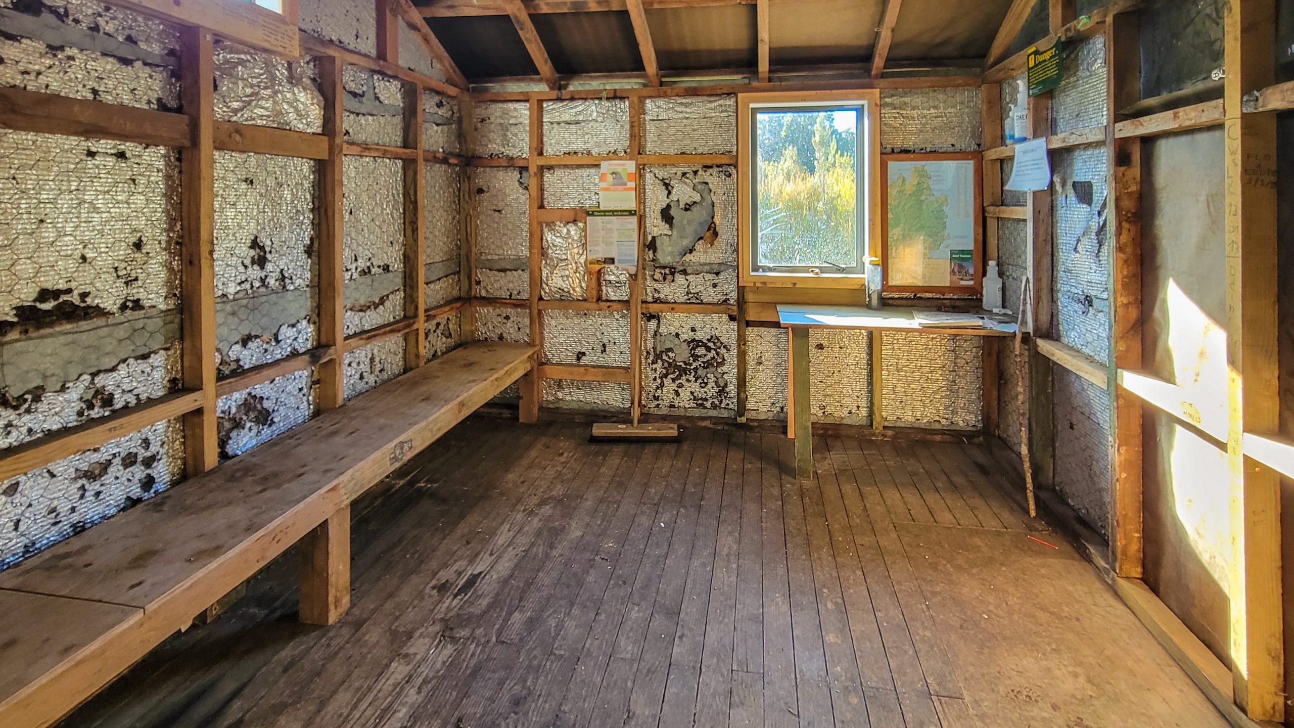
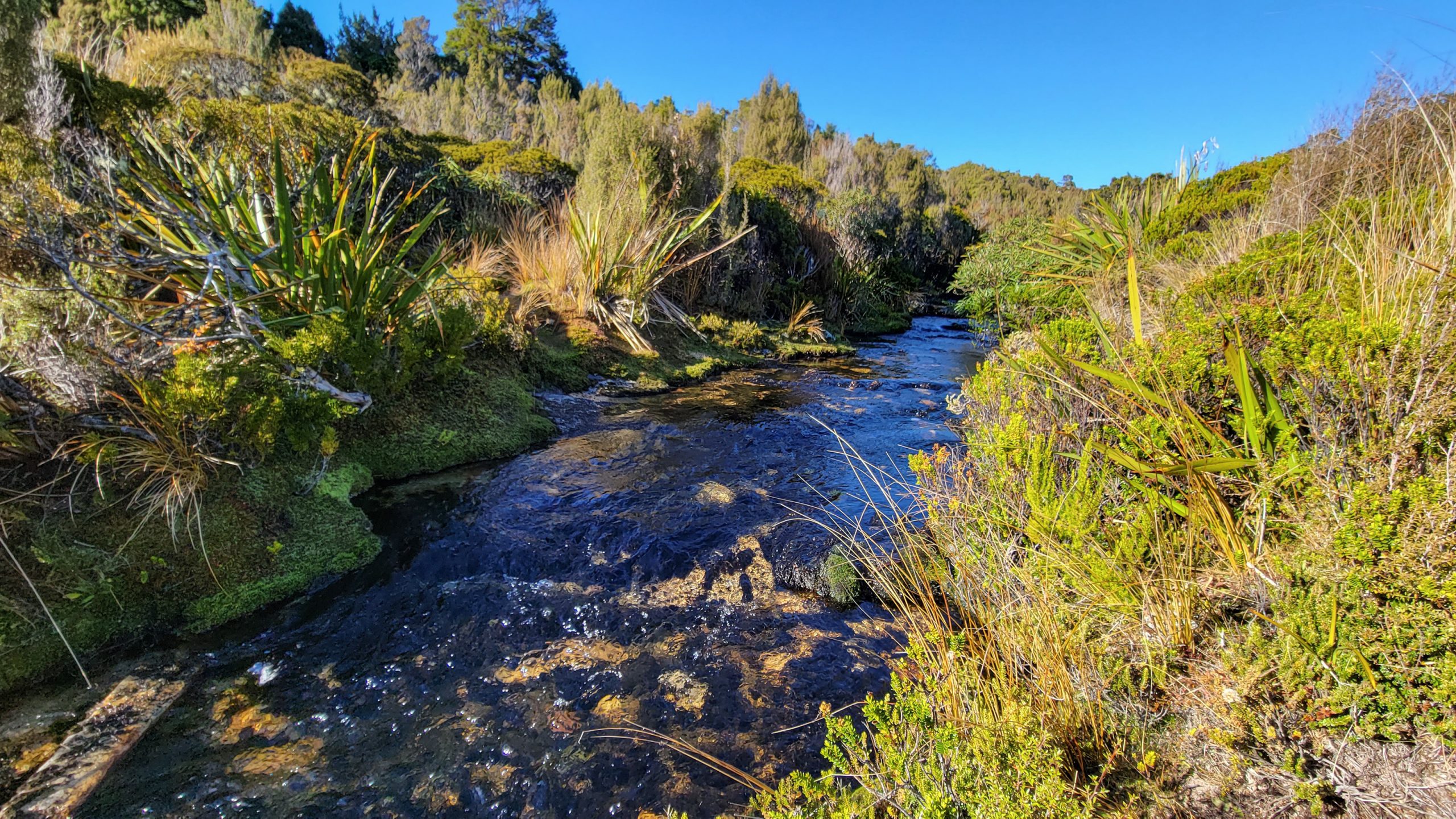
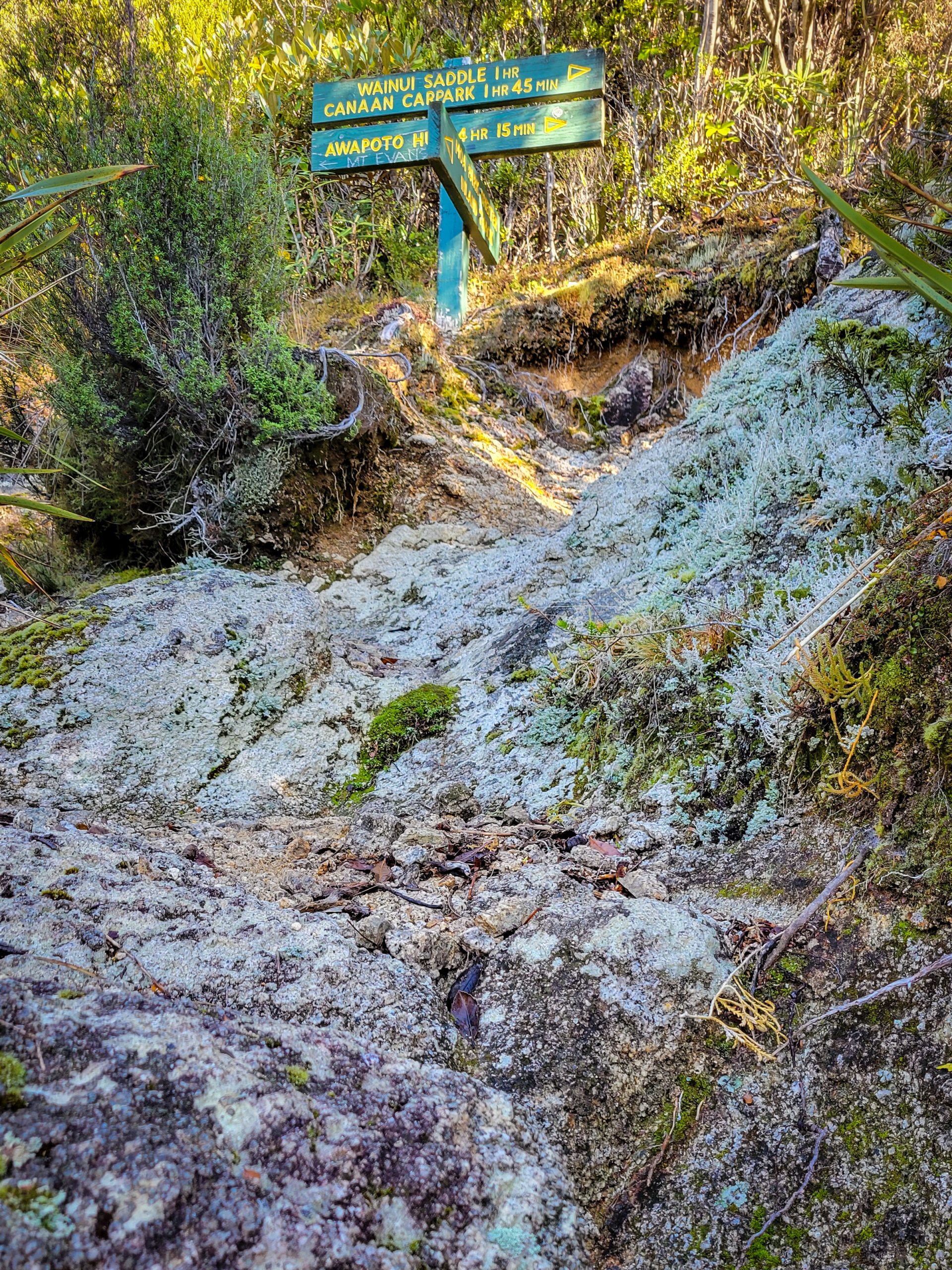
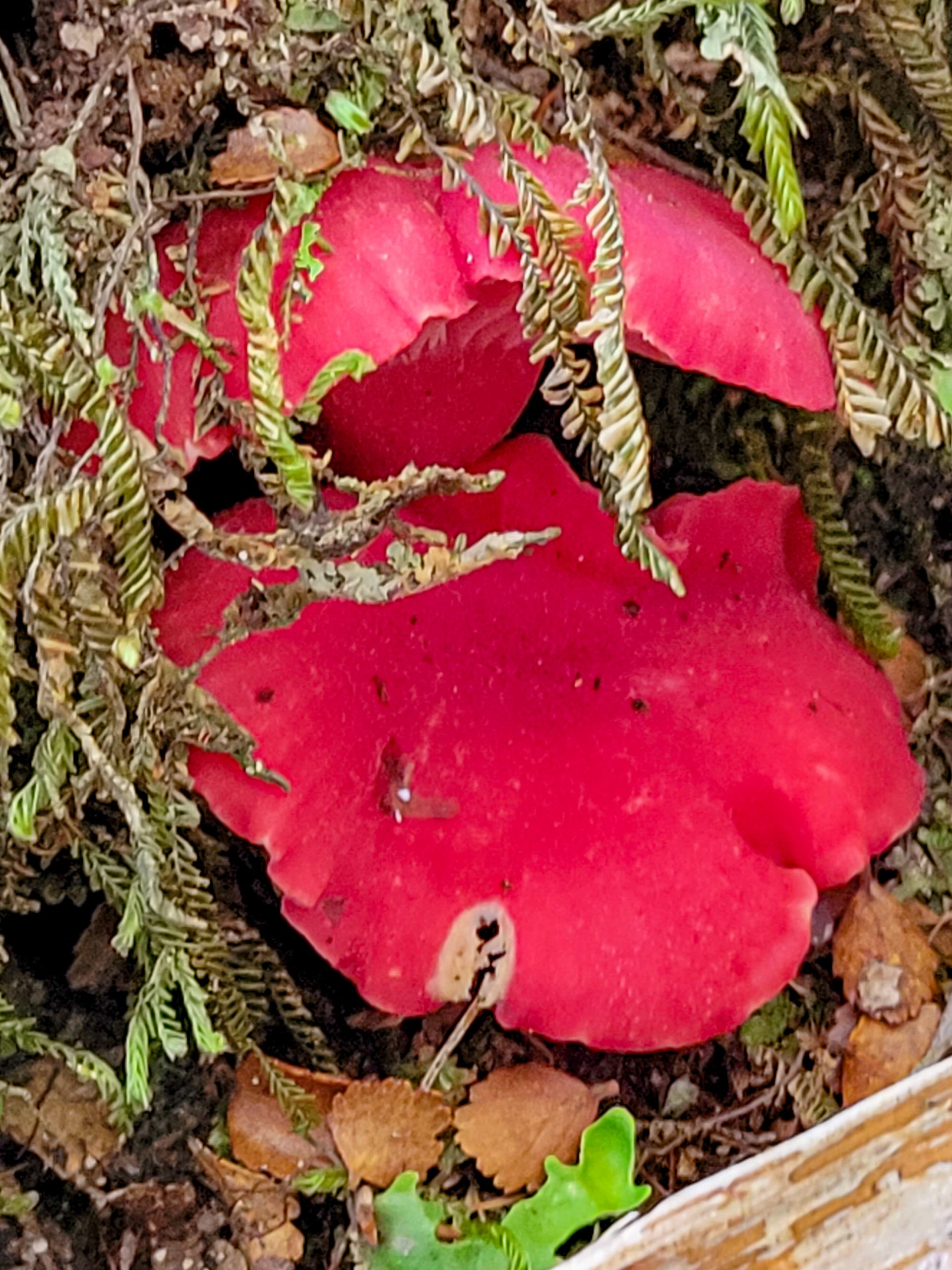
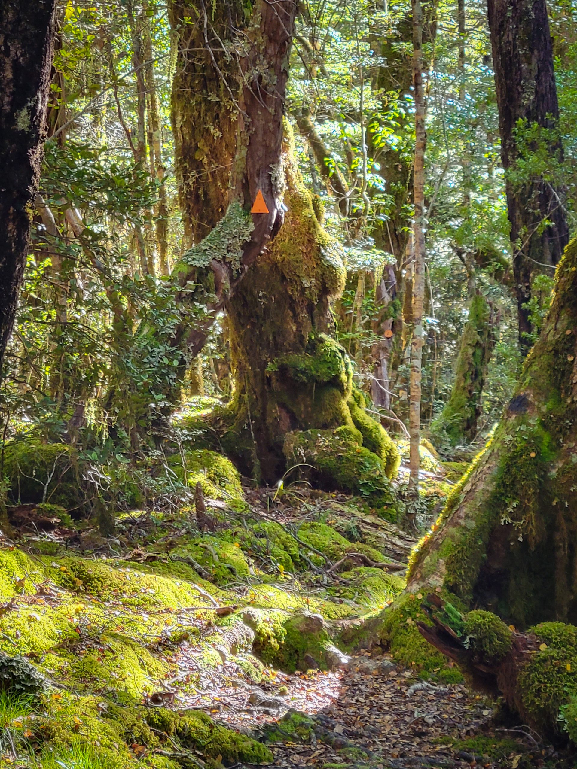
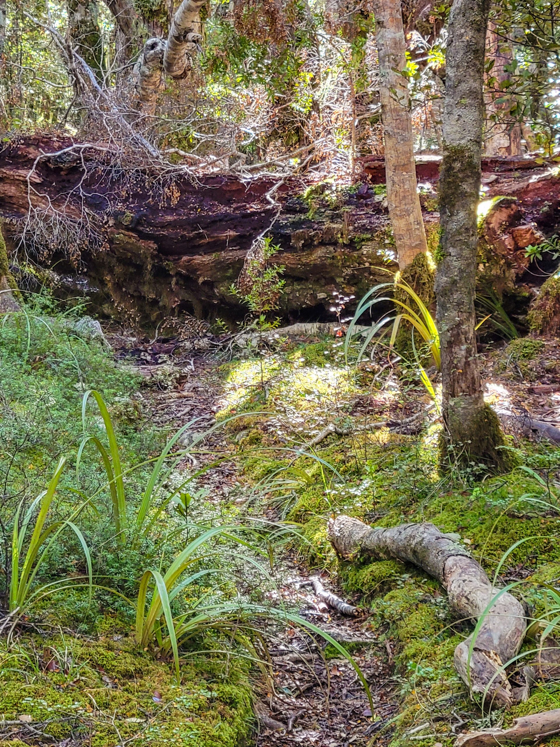
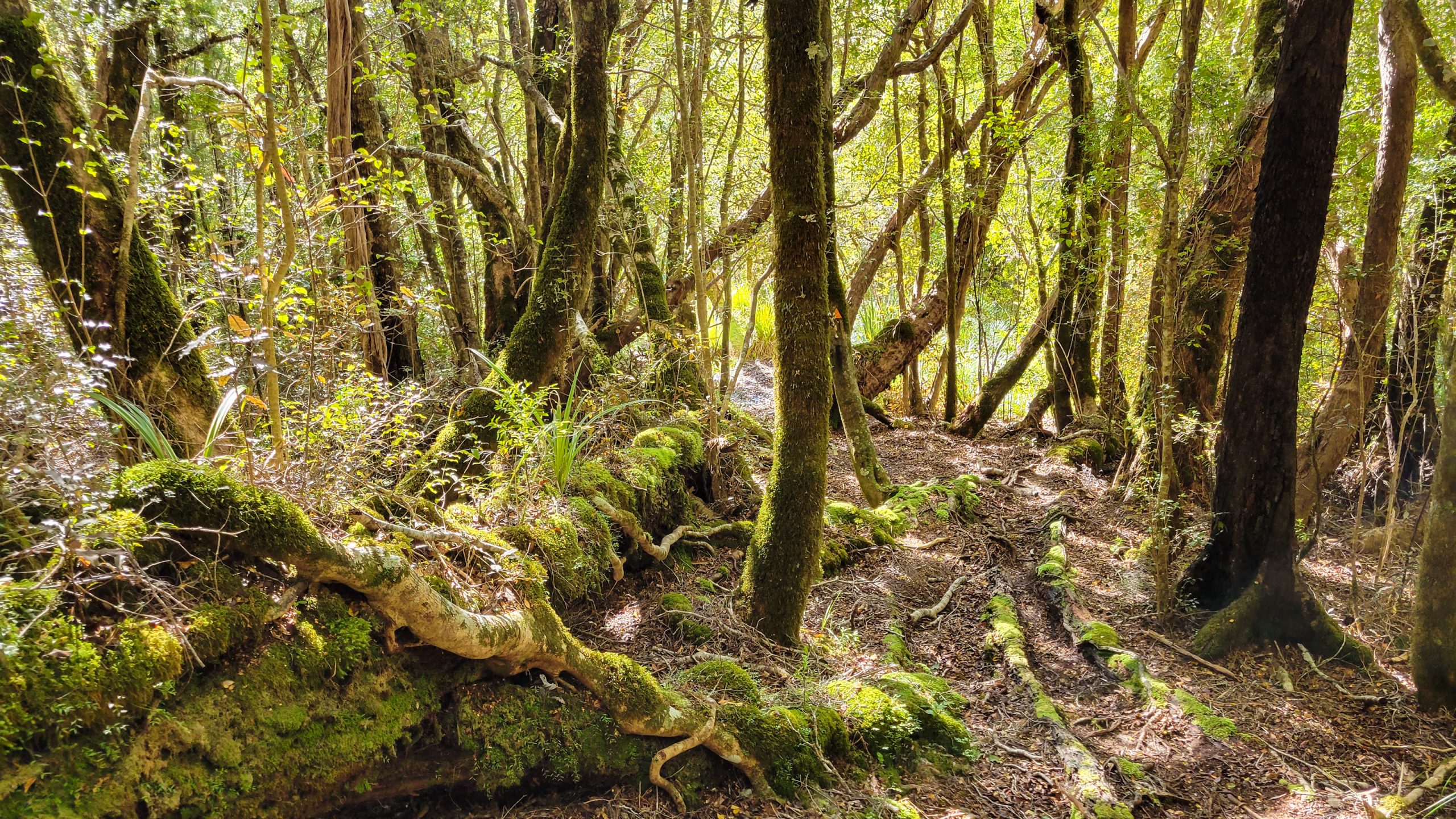
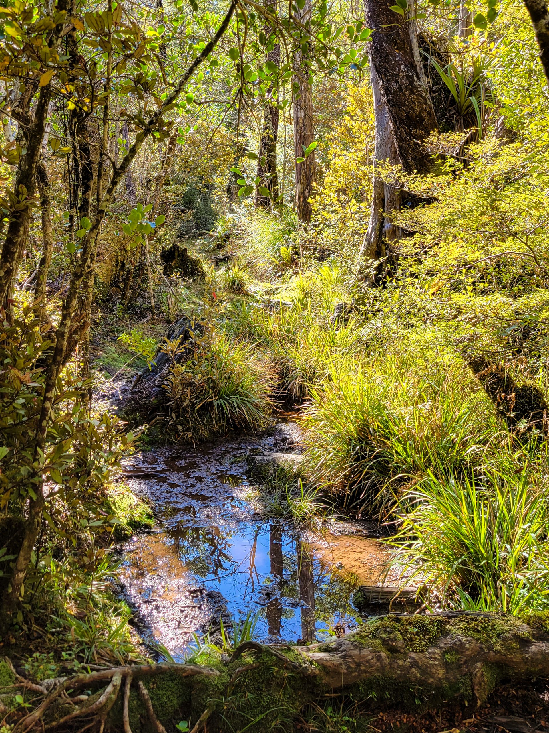
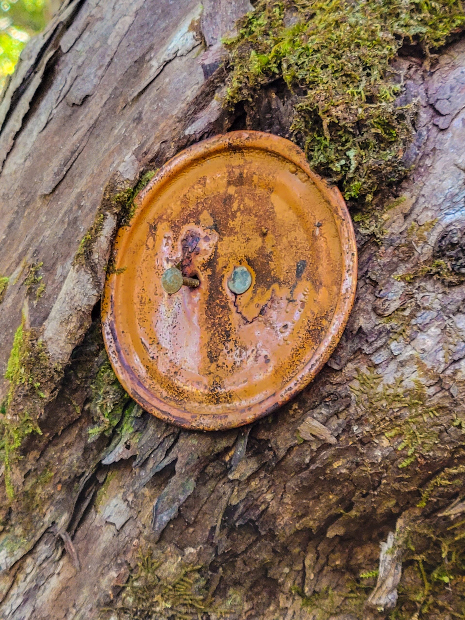
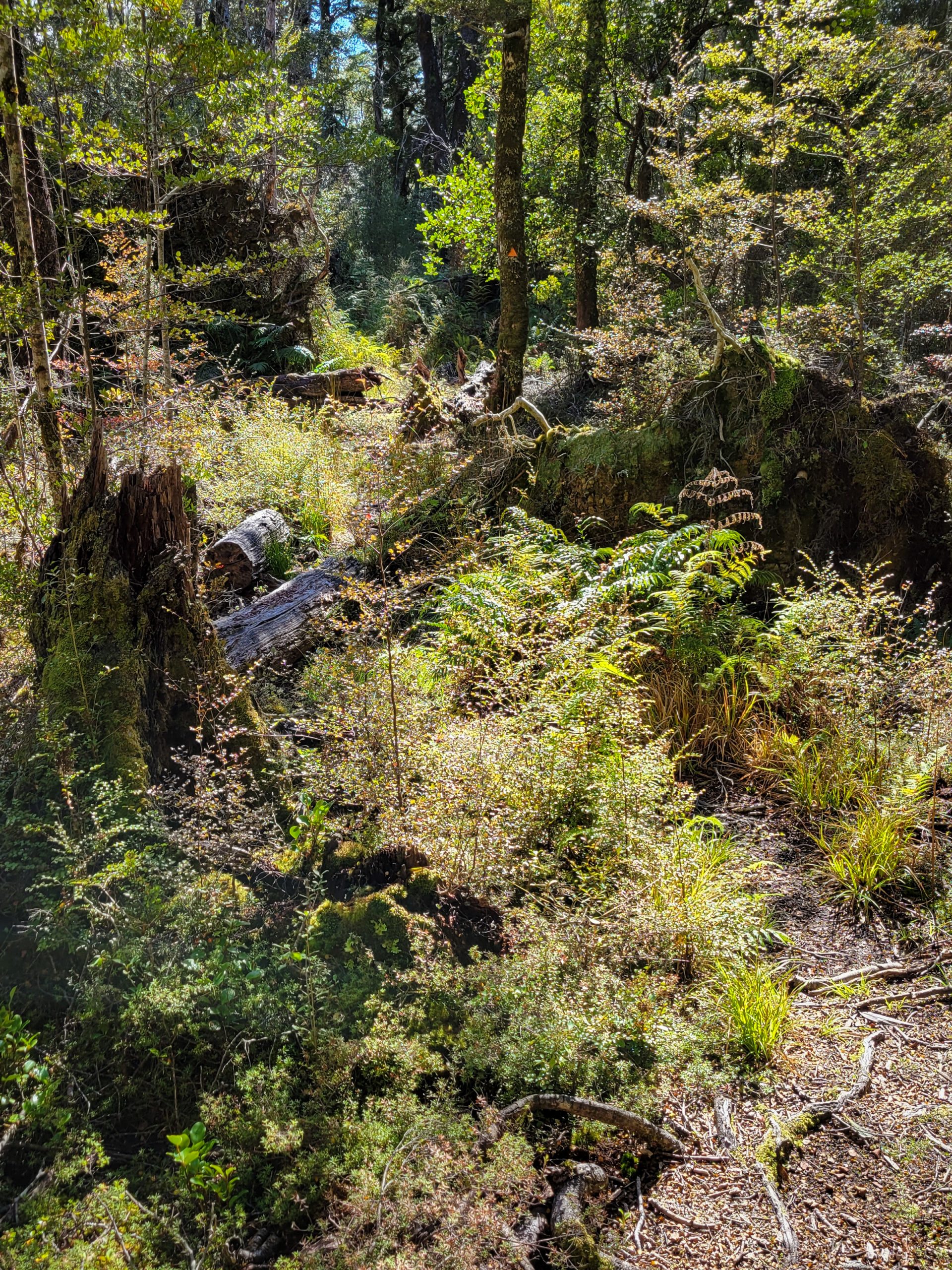
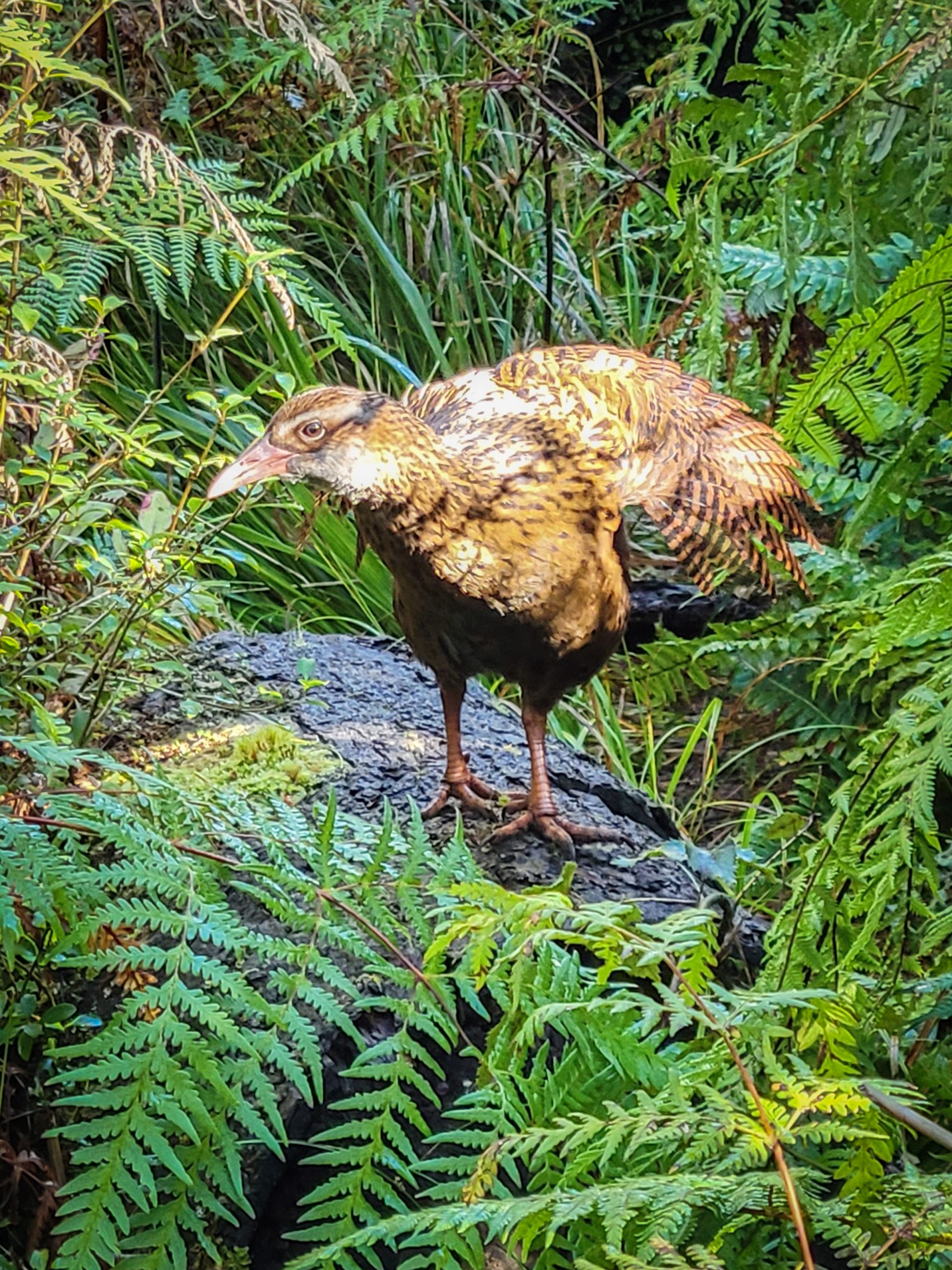
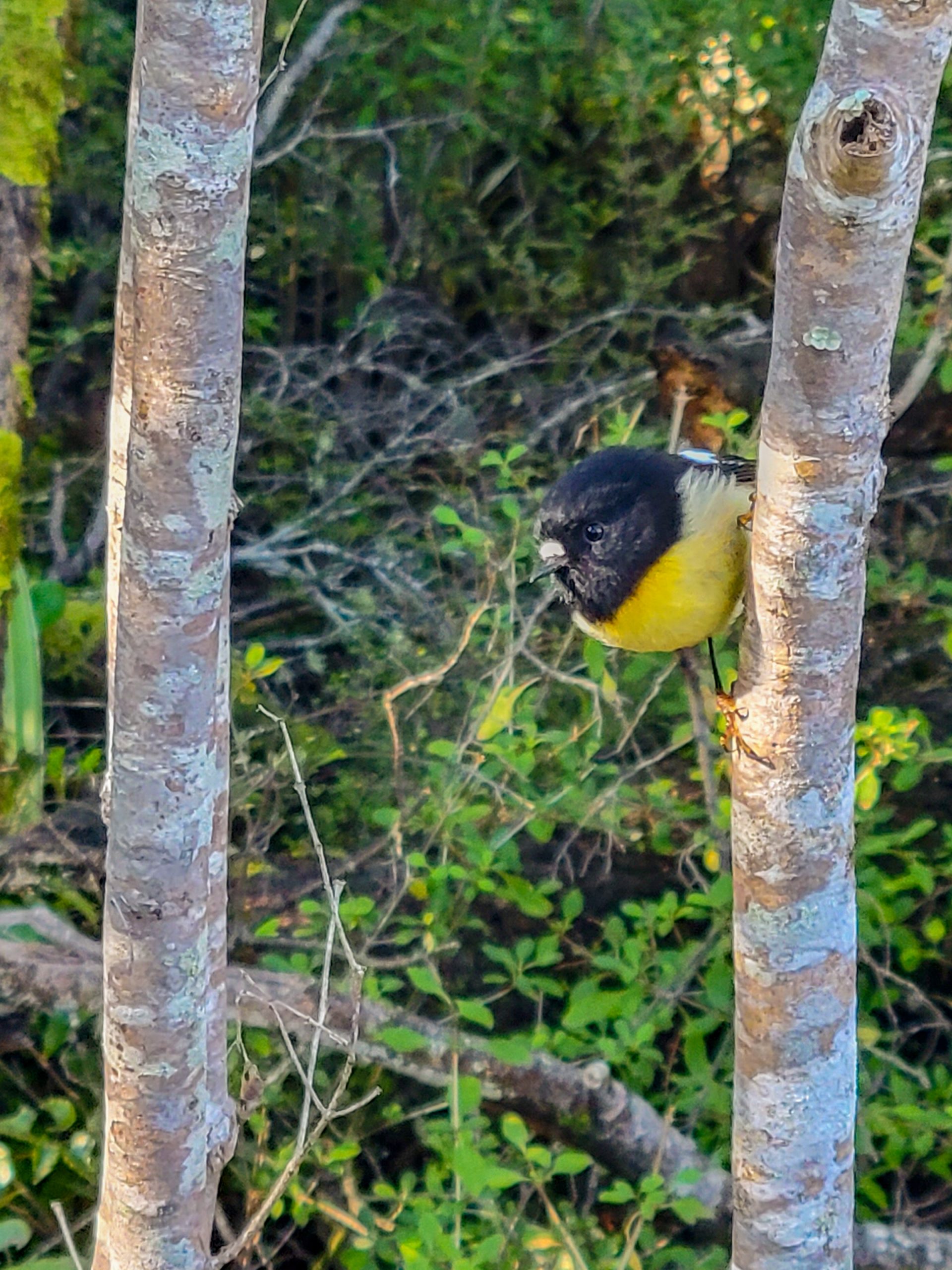
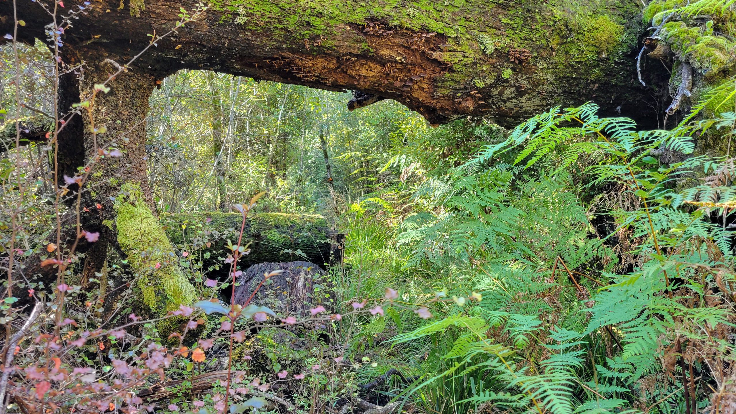
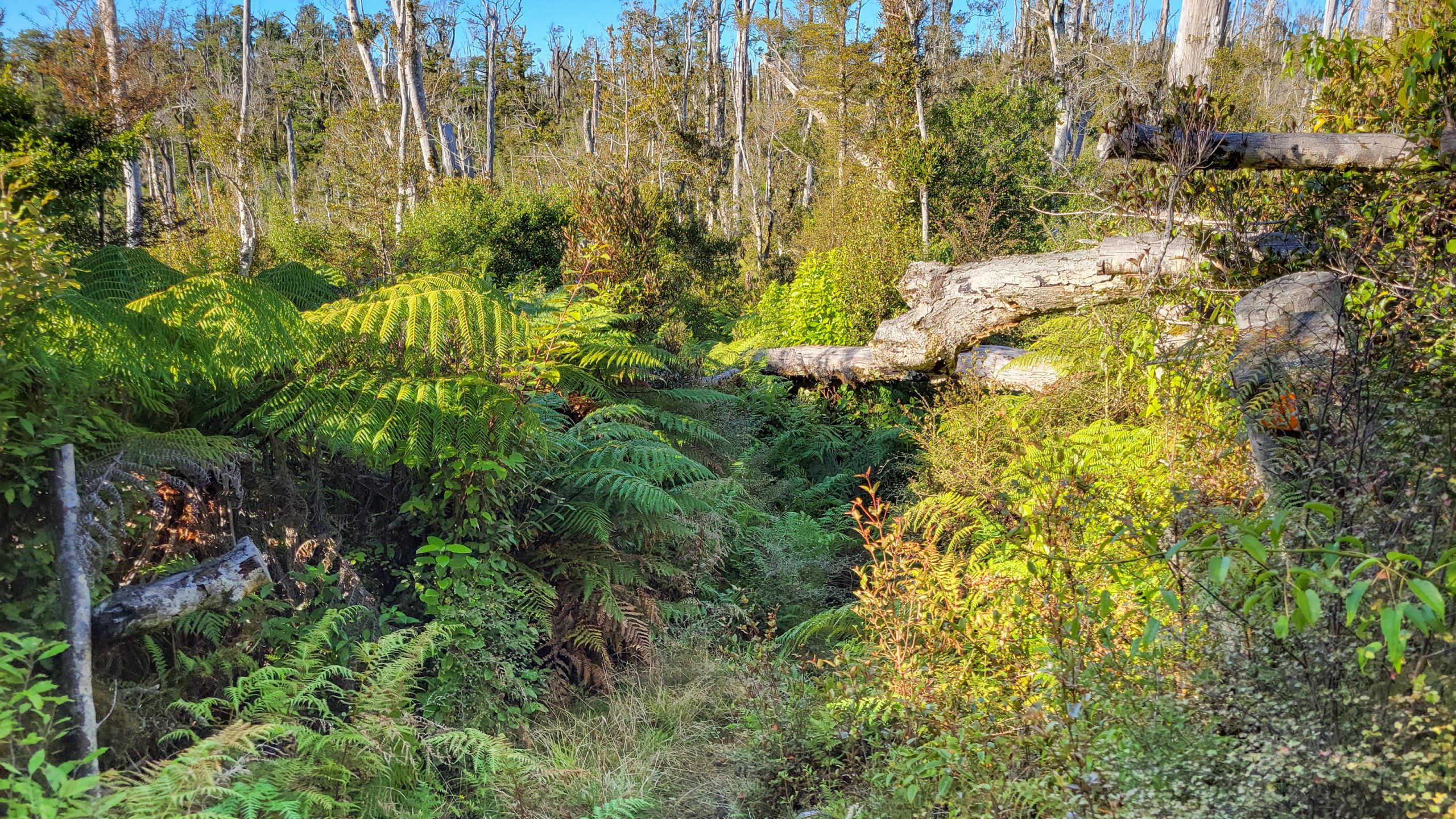
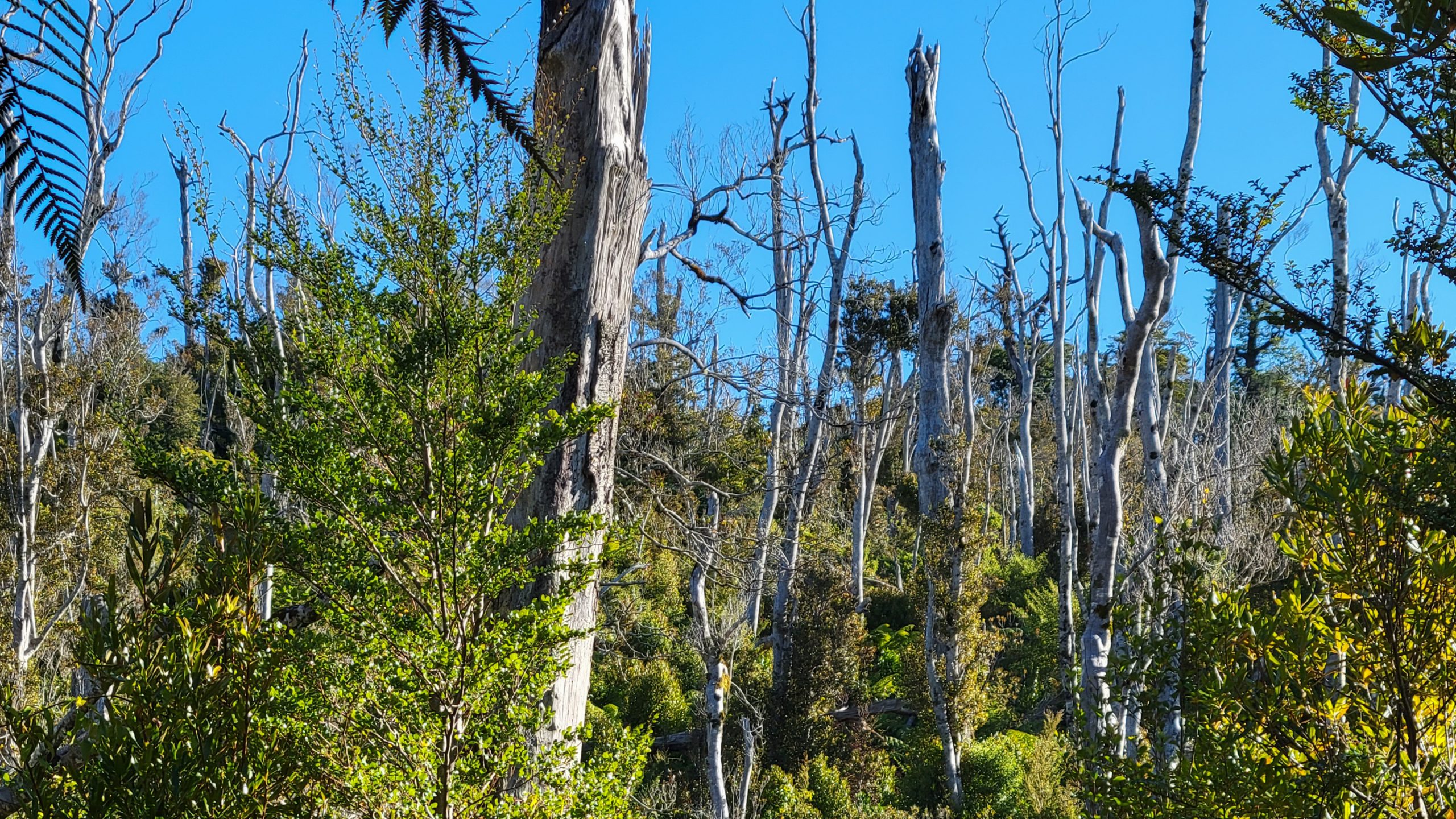
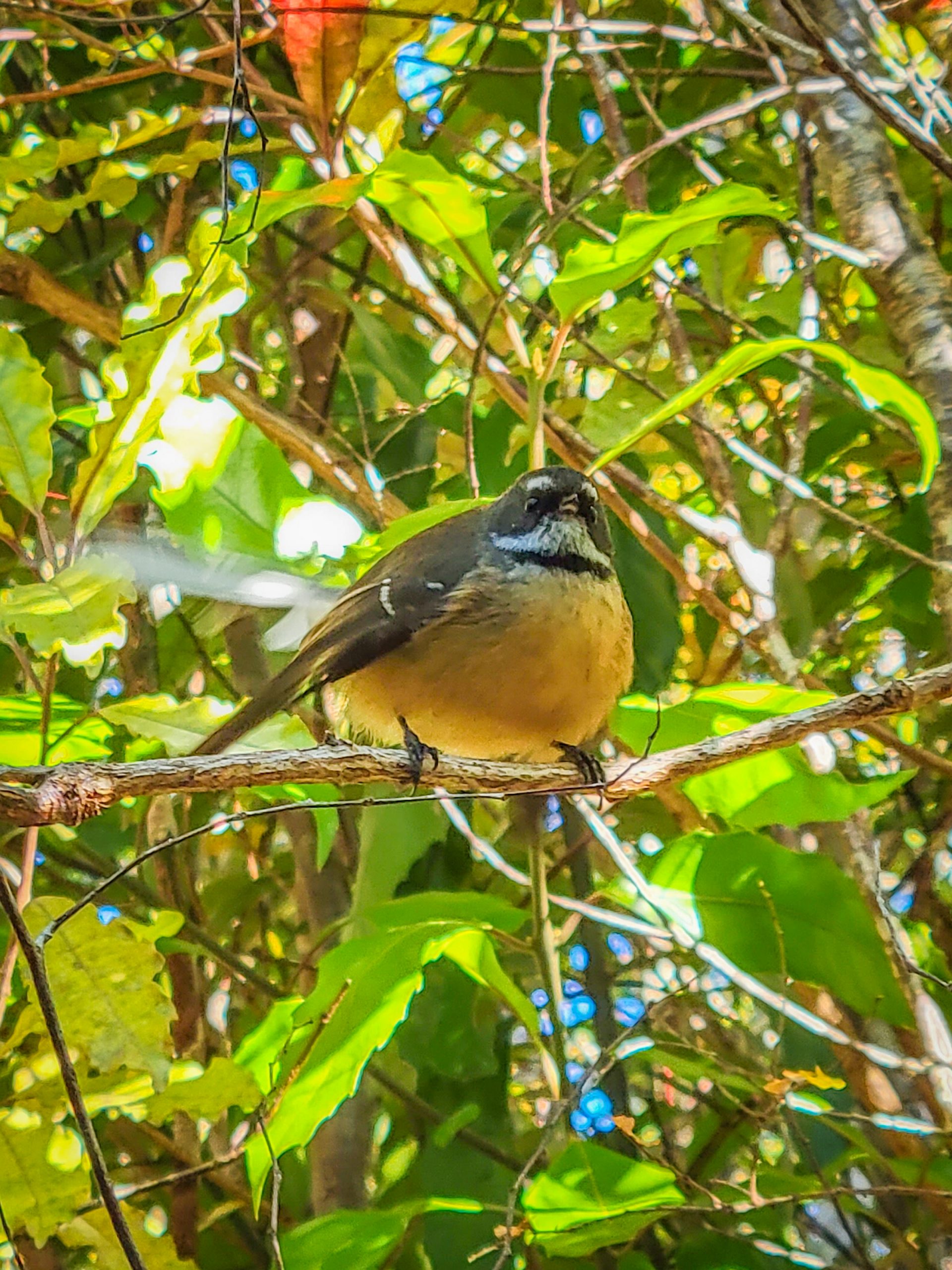
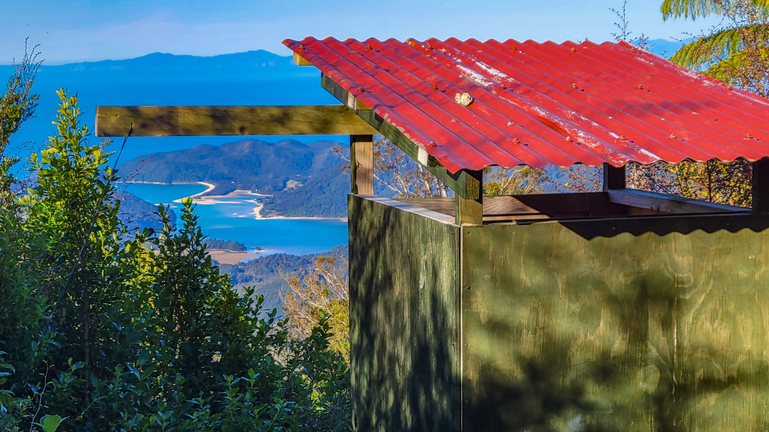
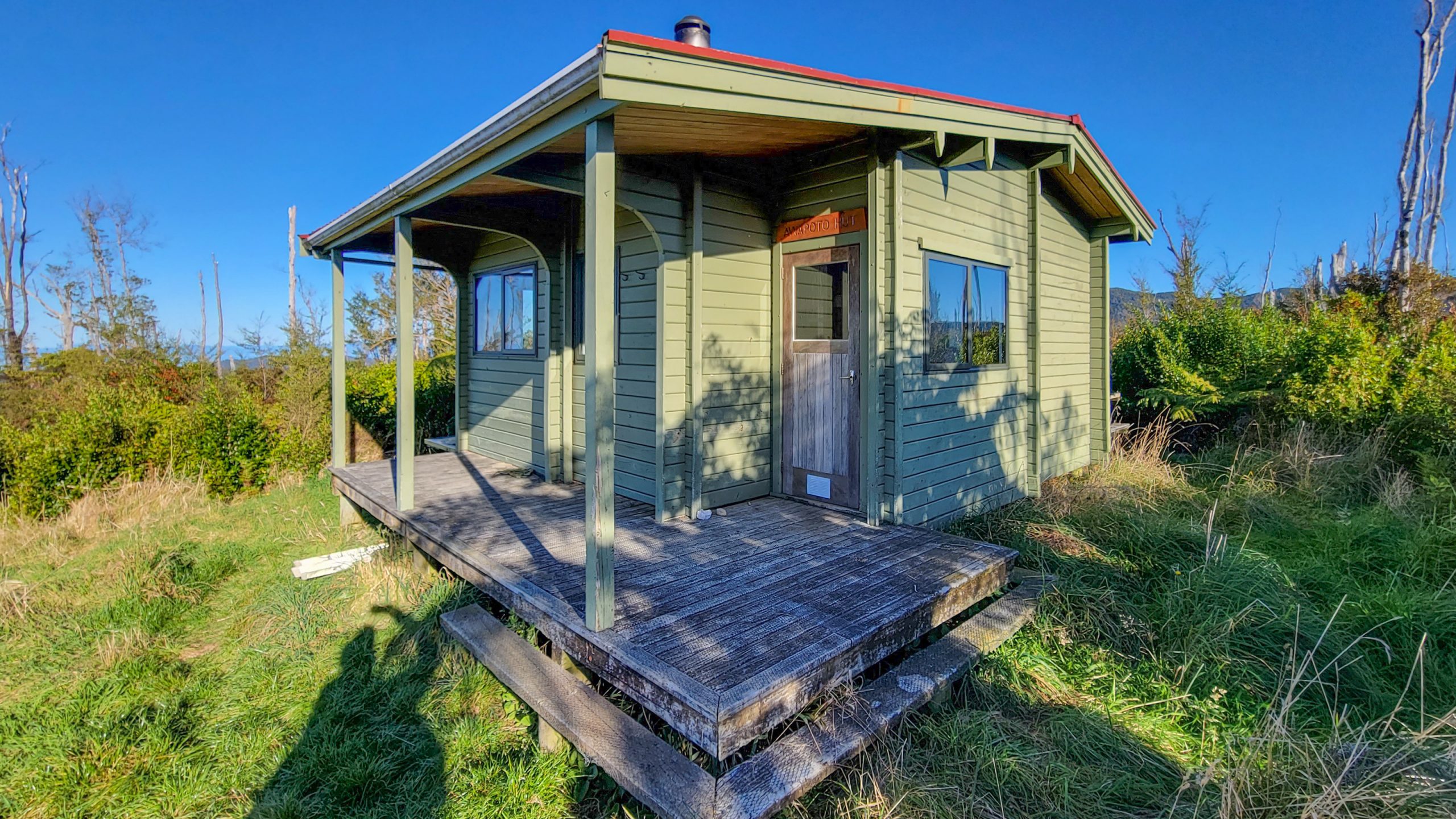
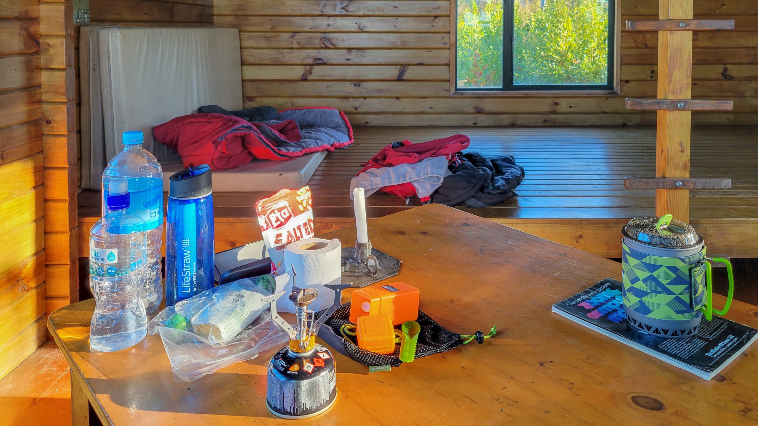
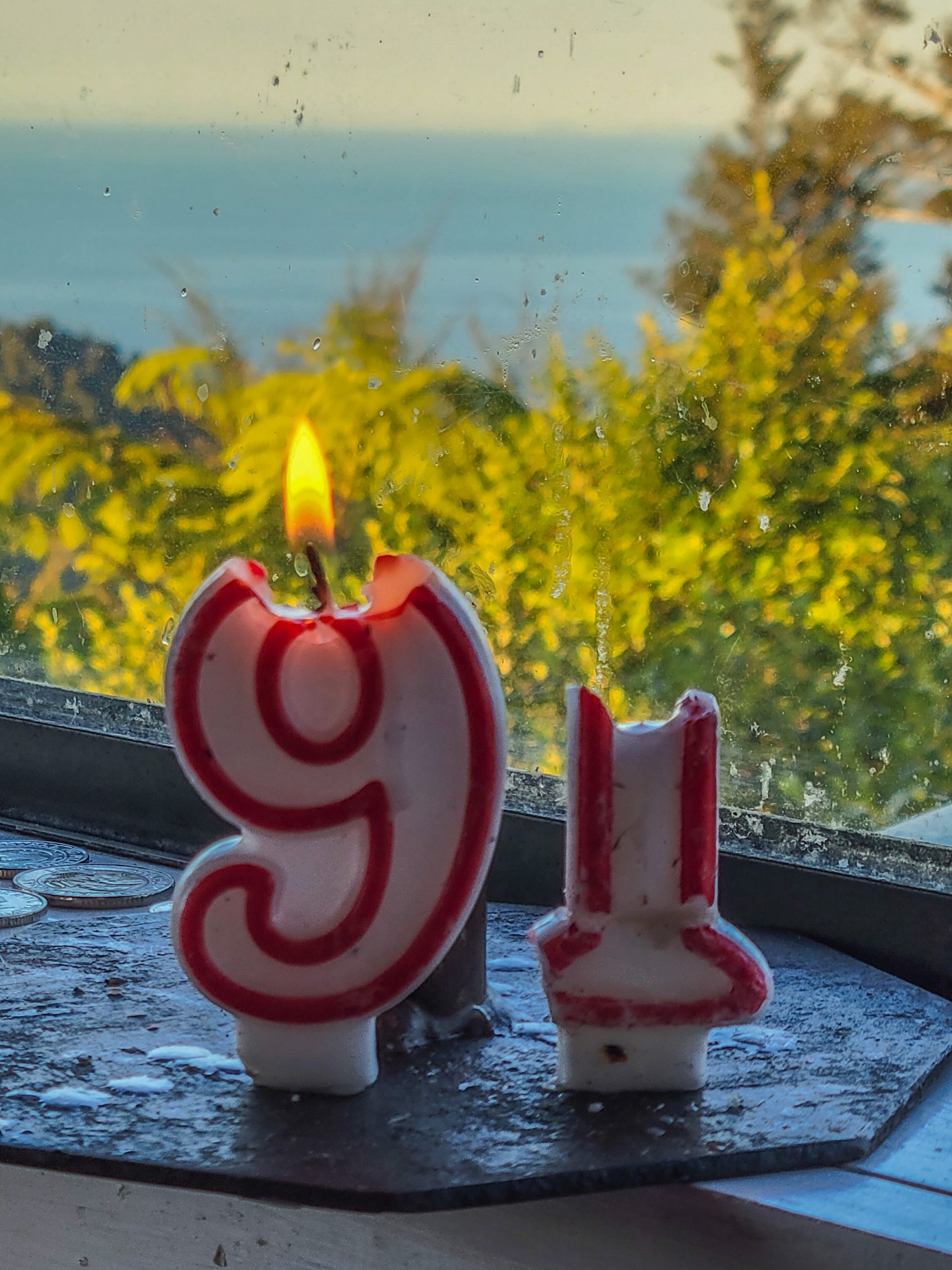
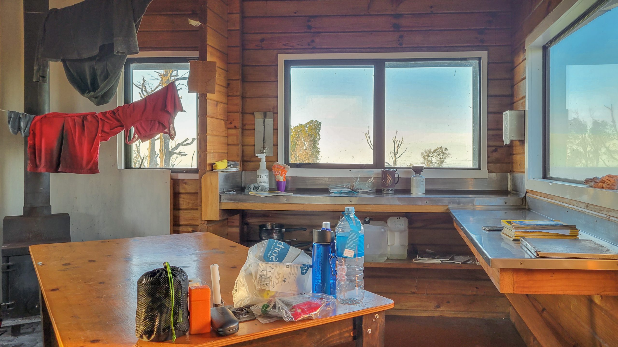
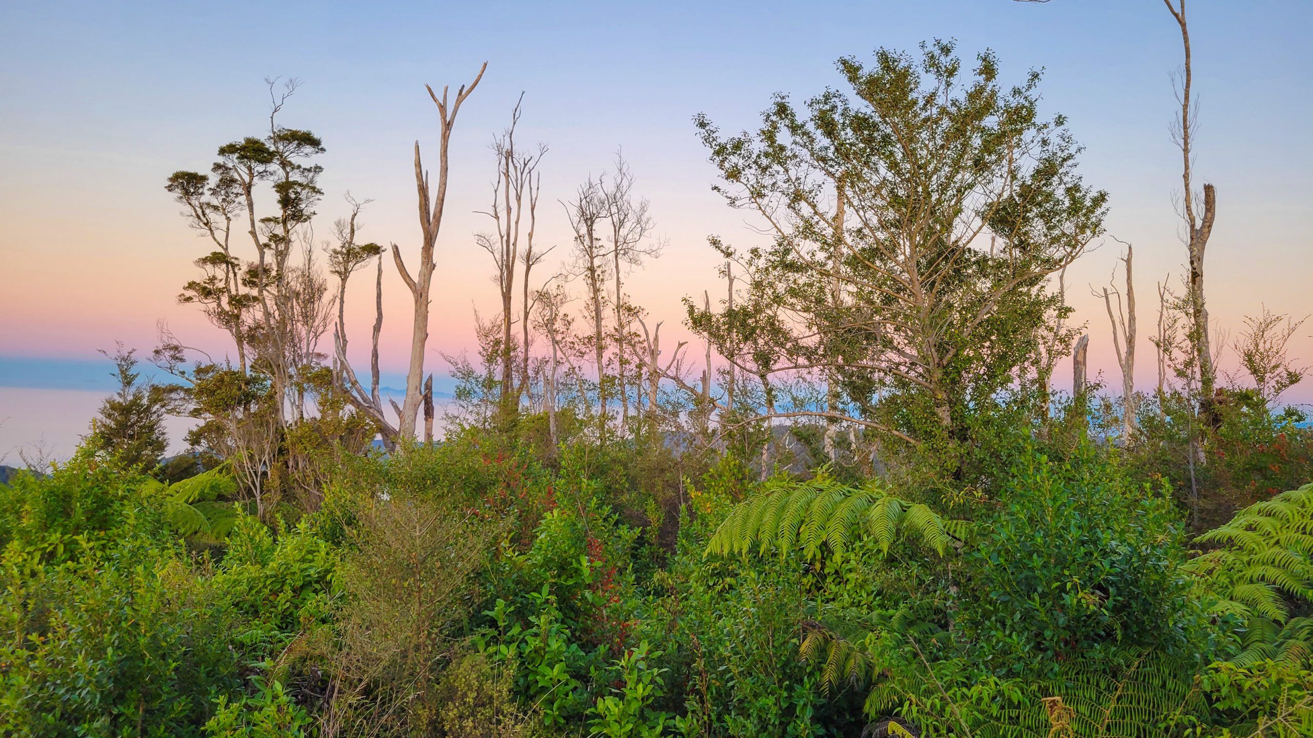
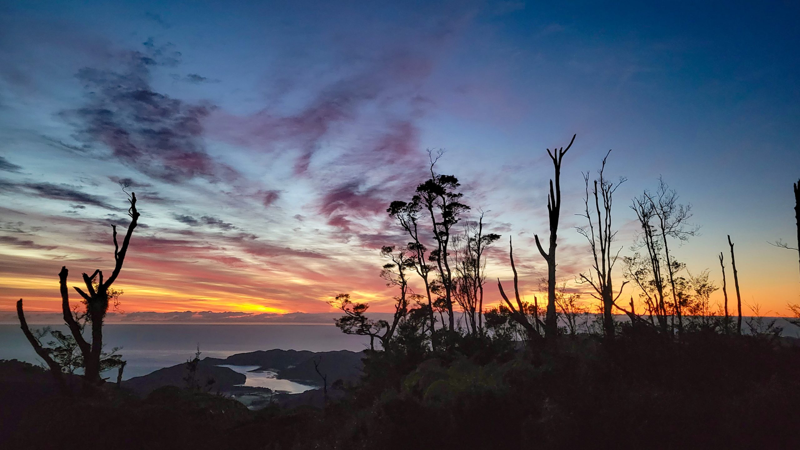
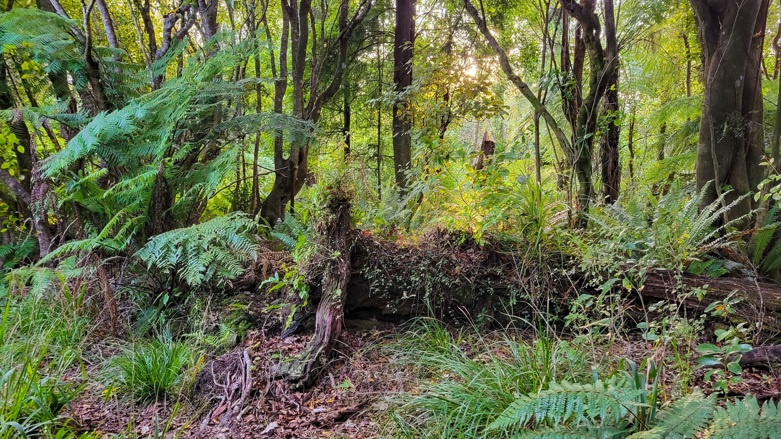
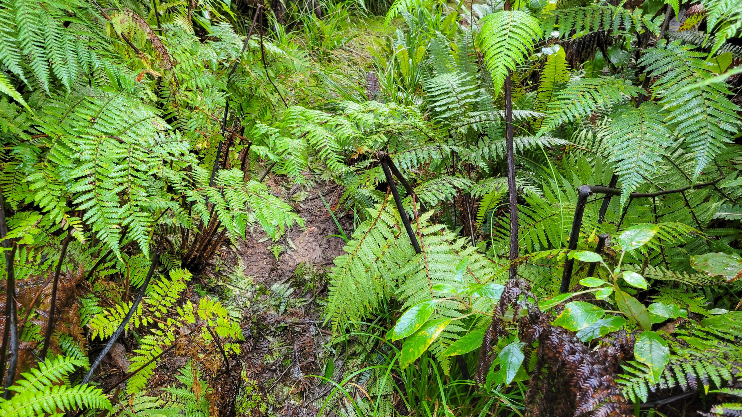
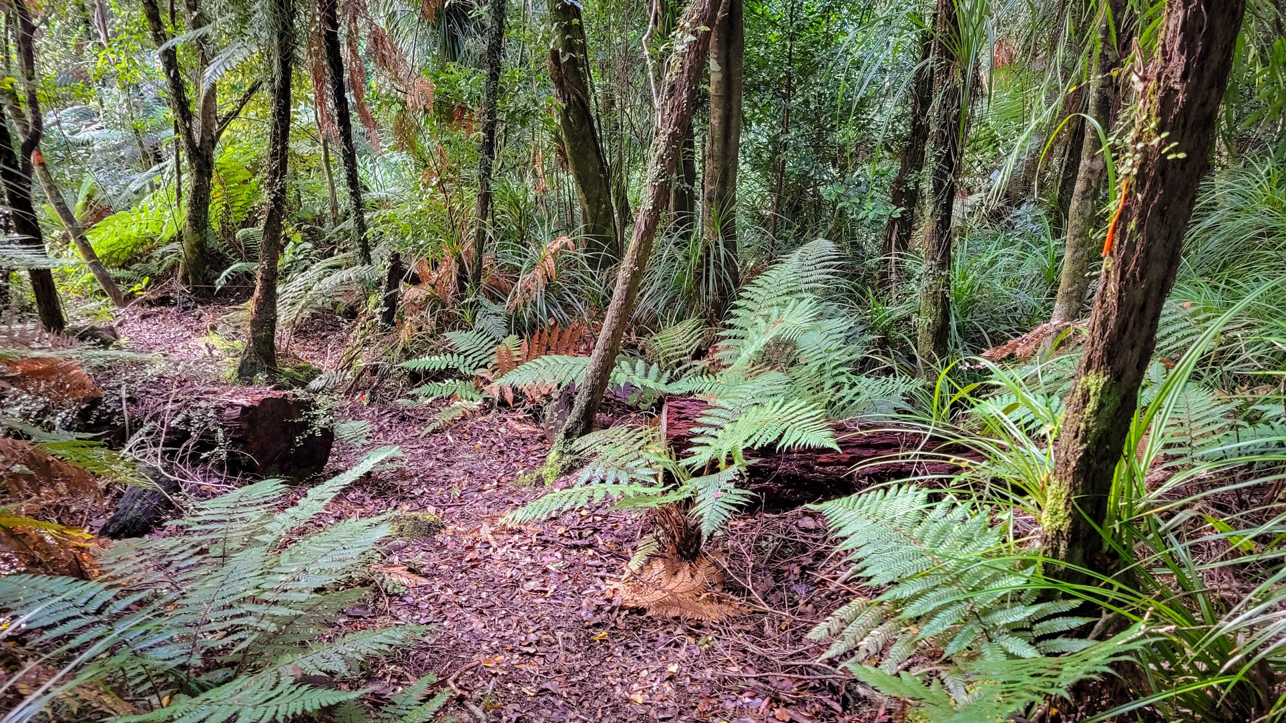
The freezing Morning! (Pics or it never happened)Yes, leaving the hut at 7 am had the advantage of seeing the sun rise again.Haha, did I complain yesterday? Today, the track already starts way muddier than I expected it to be and the already wet boots got another taste of the “original kiwi track” medicine.Trees and rocks, never loose sight of the triangle ;)Fluffy moss cuteness.The incline to Moa Park was intensive, with sore muscles I manage to crawl up another 300 m in elevation.The look of the path has become a uniform mess of roots, moss and random holes that sometime contain mud, sometimes a slippery rock or a mixture of broken wood and fallen leaves.A South Island robin, kakariwai, a little bird that was totally unimpressed by my presence.Starting to get in a line with this track.V shaped tree “door”Barely hanging onto it.The part with no trees: The track. Also this part: Debris, holes, trees lol. Sometimes it seems better to just walk around the actual way.Here a glimpse of my bag with me attached – to compare my 170 cm to the almost shoulder height steps.Time for a soak!Still going up!Thinking about making a detour to Porter Rock and giving it up half way in the trail… too much today.Master Robin is following up on my efforts to reach the tussok plains.But as far as I can tell I’m not nearly there!Fairyland roots.All sorts of typical NZ greenery.But this walk is like no other (for me), haven’t seen anything so wild and untouched in a long time.Ready for another swim?At times it’s really pleasureable.Lucky there’s no strong winds today, it would feel a bit uncomfortable with all these dead (and still standing) trees.Moa Park!Last crazy hole before entering the tussok lands.Is this an approving gaze? :)Hm. Not there yet.Last few hundred metres before entering the home stretch to the shelter.If this was the daily goal that I’m about to reach, I would be so stoked. But it’s just a waypoint.Just around the next corner!And there it is! Moa Park clearing, the western part, where the buildings are.If that’s an accurate description of the sad hull of a former hut. The bunks were removed a few years back and now it doesn’t even have mattresses. Better than nothing, but not what I’m looking for tonight!Right after the shelter another long jump is needed to get the chicken to the other side.And on top of this rock I reach the Evans Ridge path, now Awapoto Hut is only 4 hours 15 min away, the sign says (it’s lying! That took me longer!)A steady climb up to the ridge begins. And the “gradual descent” starts :)Beautiful red fungi.What a gnarly old tree, wearing that marker like a brooch.Reflections in an otherwise quite dark forest.Most of the way today is in the shades, I figure it must be really nice in summer.Just a few spots where the sun really gets through.A good hearted person has filled in missing markers with painted can lids. Thank you!Robin checks up on me!My pants are a bit dirty from sliding over half rotten tree trunks :DTaking the camera would have been too much weight and the mobile makes sosolala pictures, but it’s not only about pixel perfection, and the phone captures the atmosphere alright :)The beauty of a wilderness track.This one saved me!And those made me laugh ;)At this point I’m wading ankle deep in mud through a shoulder high fern understory in a thick forest. It ocurred to me that all of this was way over my head.The good parts …A bush hen, weka, saying hi and “don’t come closer I got my nest nearby”Hello Tomtit (Ngirungiru), what are you doing so far from any civilization? They usually prefer back yards.This tree landed on its arms.And this has its feet up!While this was a decent crawl-under.Torn between walking faster and getting exhausted sooner or taking a few photo breaks (breaks it is!)The path clearly needs some maintenance ;) But anyways, from the general looks (the tall dead trees) I know I’m near Awapoto.Can’t be long now!Wow, what a cute fat fantail!Reached the crossing to the hut, and stumbling a last few metres through the bush.This might be the long drop with the best views in the world.Awapoto Hut.Lots of firewood, but the woodburner doesn’t go as well as in the last hut. But got it going and it managed to dry all my wet stuff.Celebrating my late Mum’s 91st birthday with a set of candles that was last used for her granddaughter’s 19th.The setting sun throws her last rays on the National Park. A sight to behold, especially after a day like this. My Mum and I, we talked a lot today, and even if it was a bit one-sided, some things needed to be said aloud, and they were. I wish you were there.You would have loved the rustic charm and simple elegance, the water collecting, the nosy wekas, the joy of feeling every muscle, every bone in your body, of being alive.And so we sit on the steps and watch the last light together. Happy Birthday!
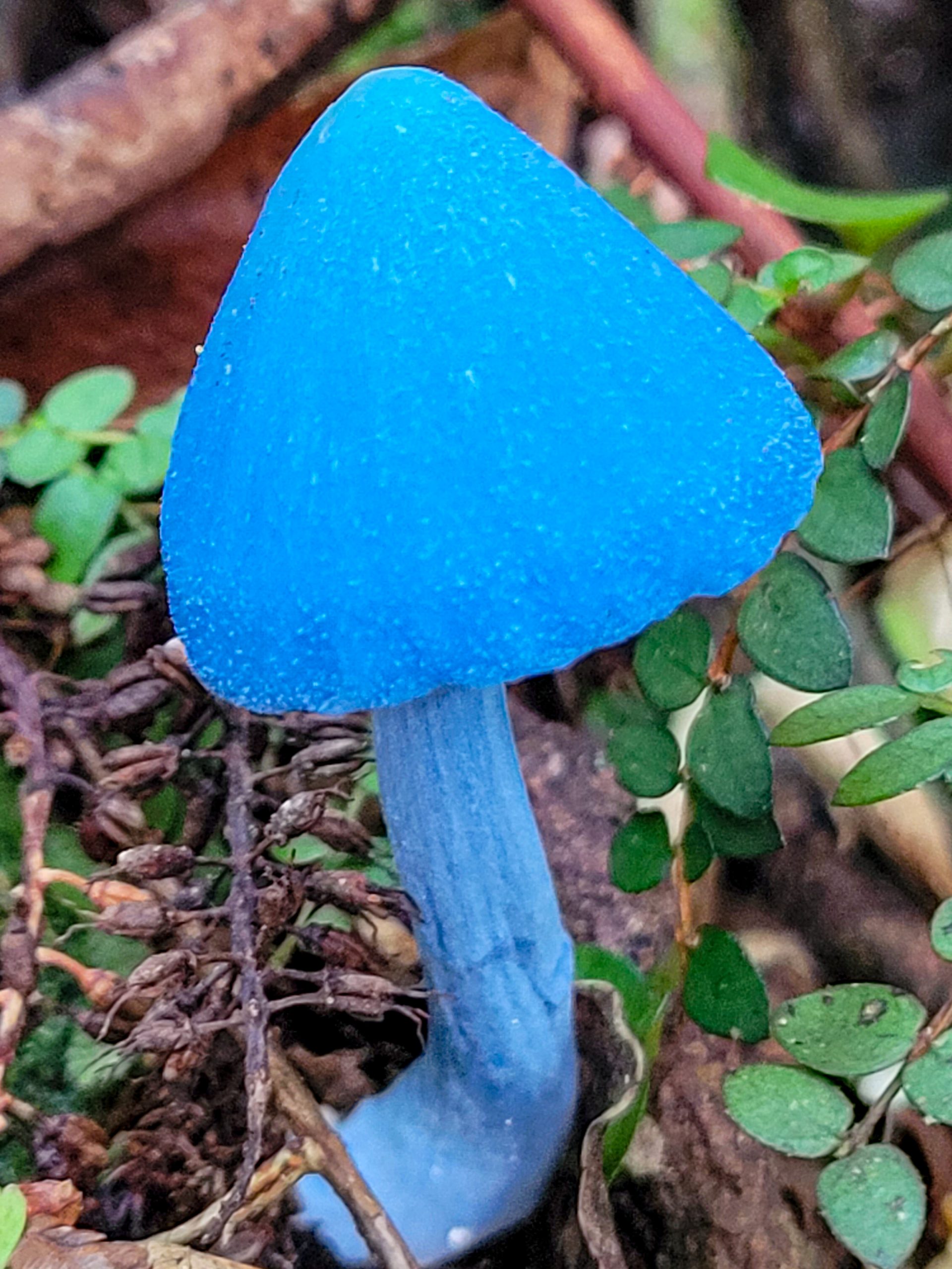
Day 3 -29.4.2023 – Awapoto Hut to Pigeon Saddle (5 km) and down to Totaranui (another 5, guessing), the sign says 5.5 hours, probably 7 hours if it’s me.
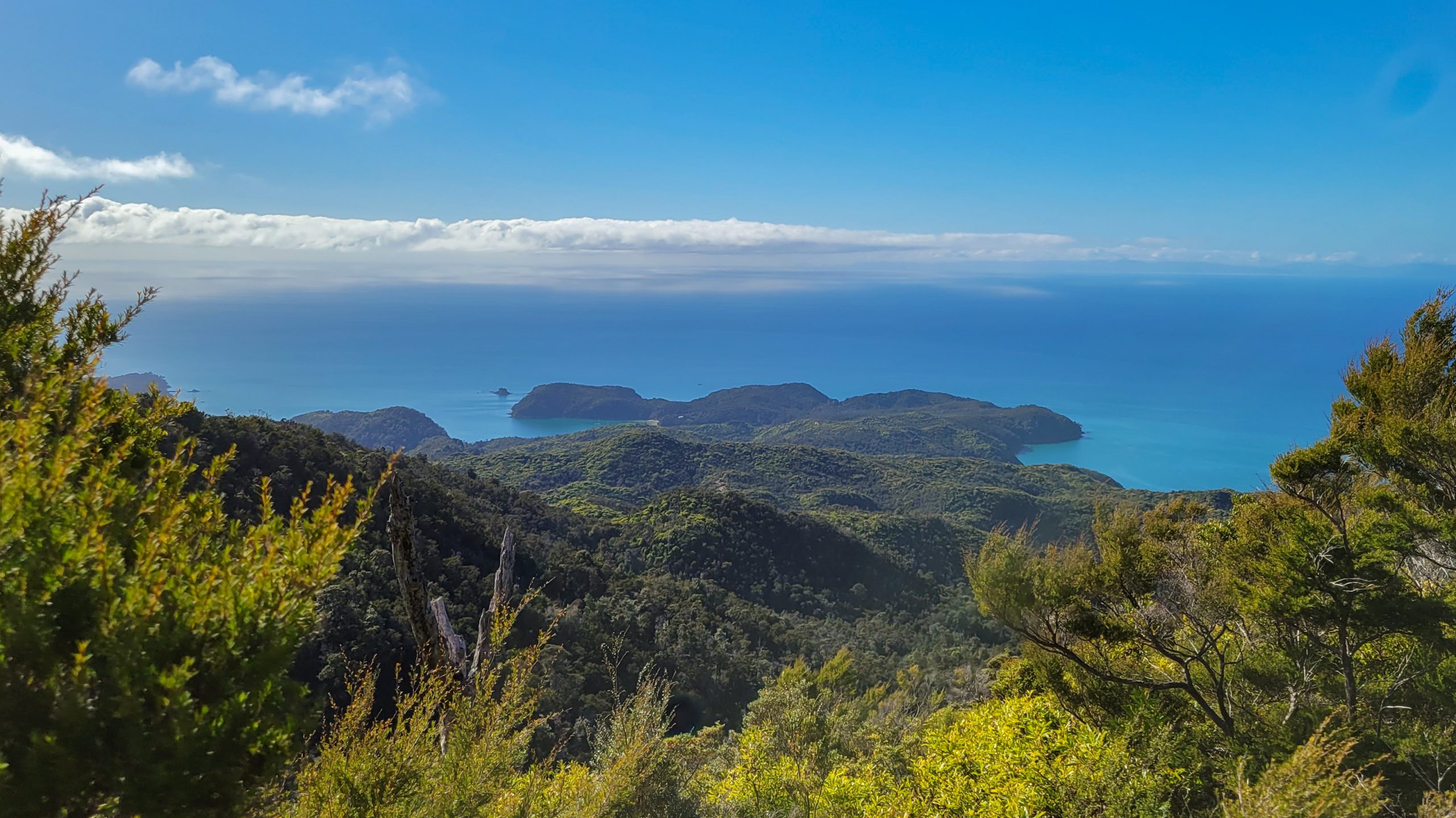
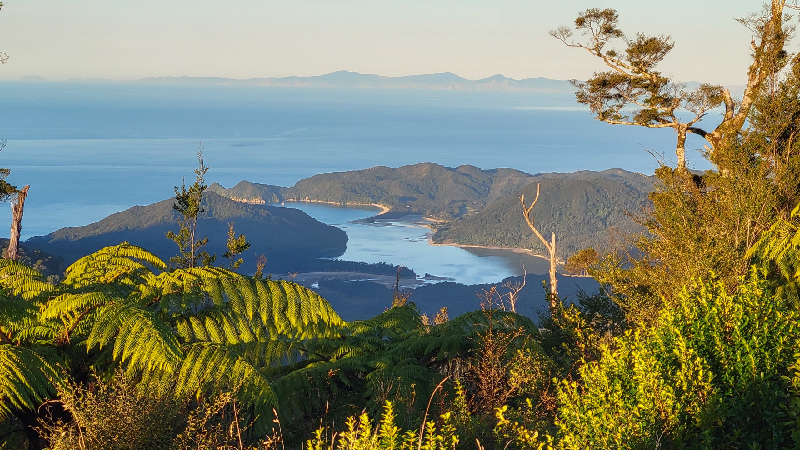
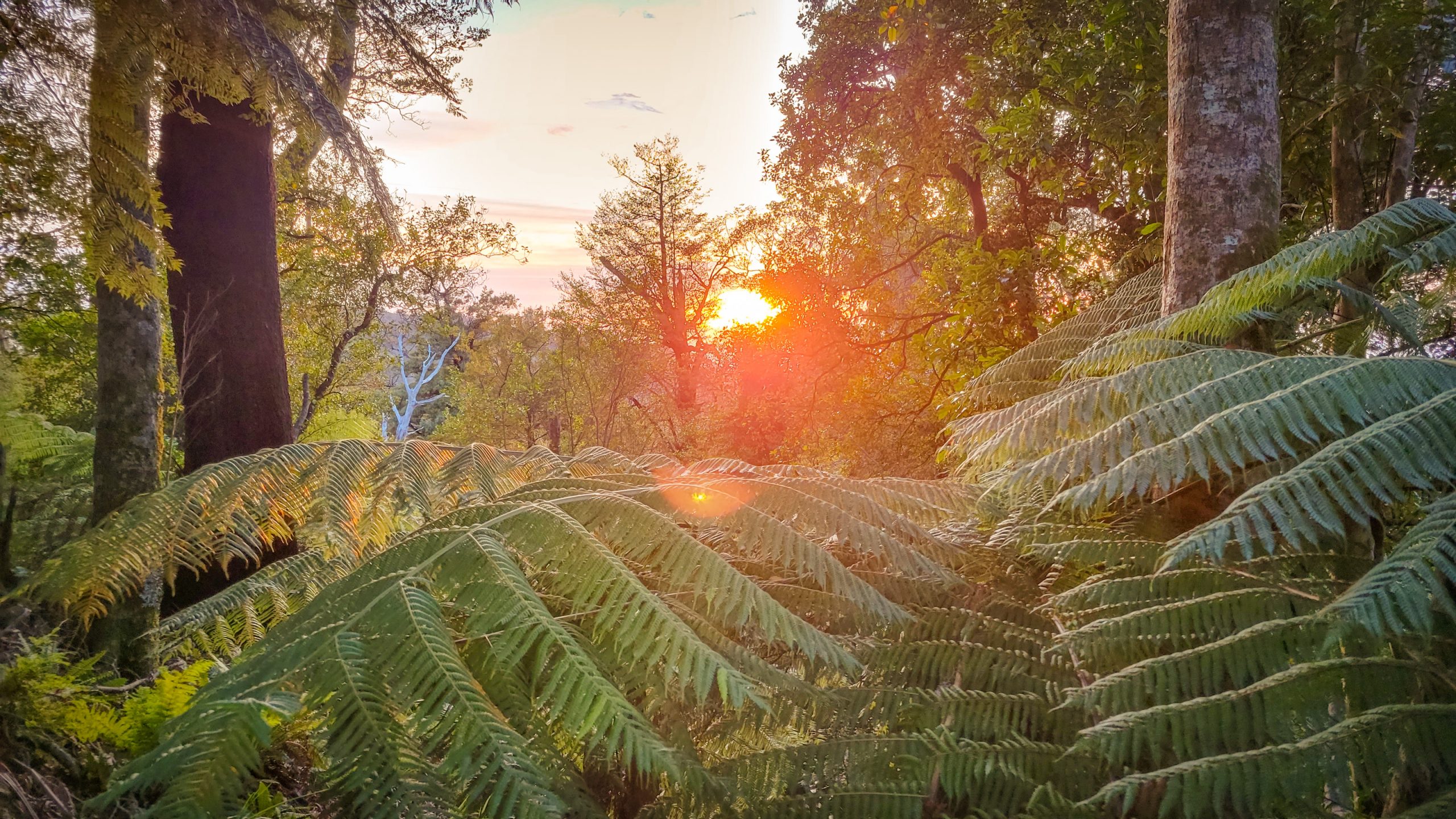
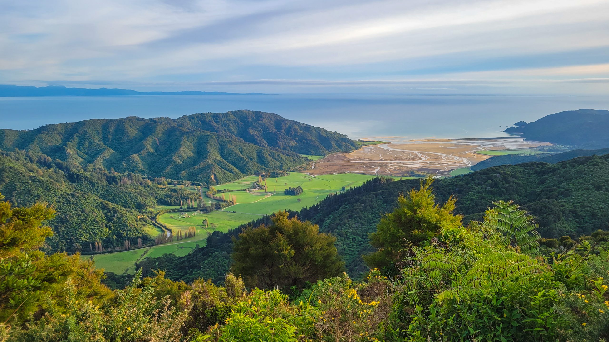
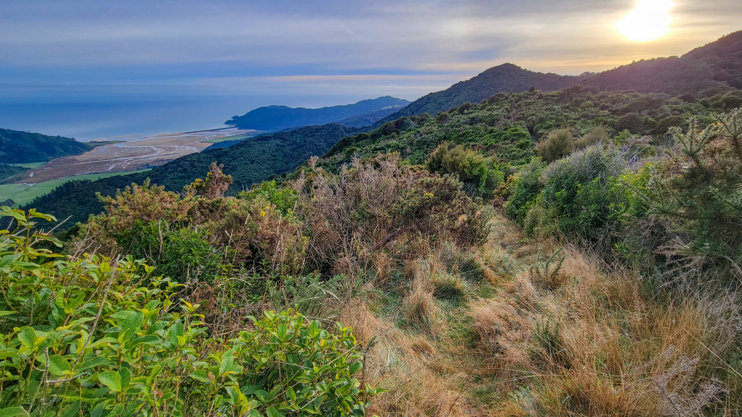
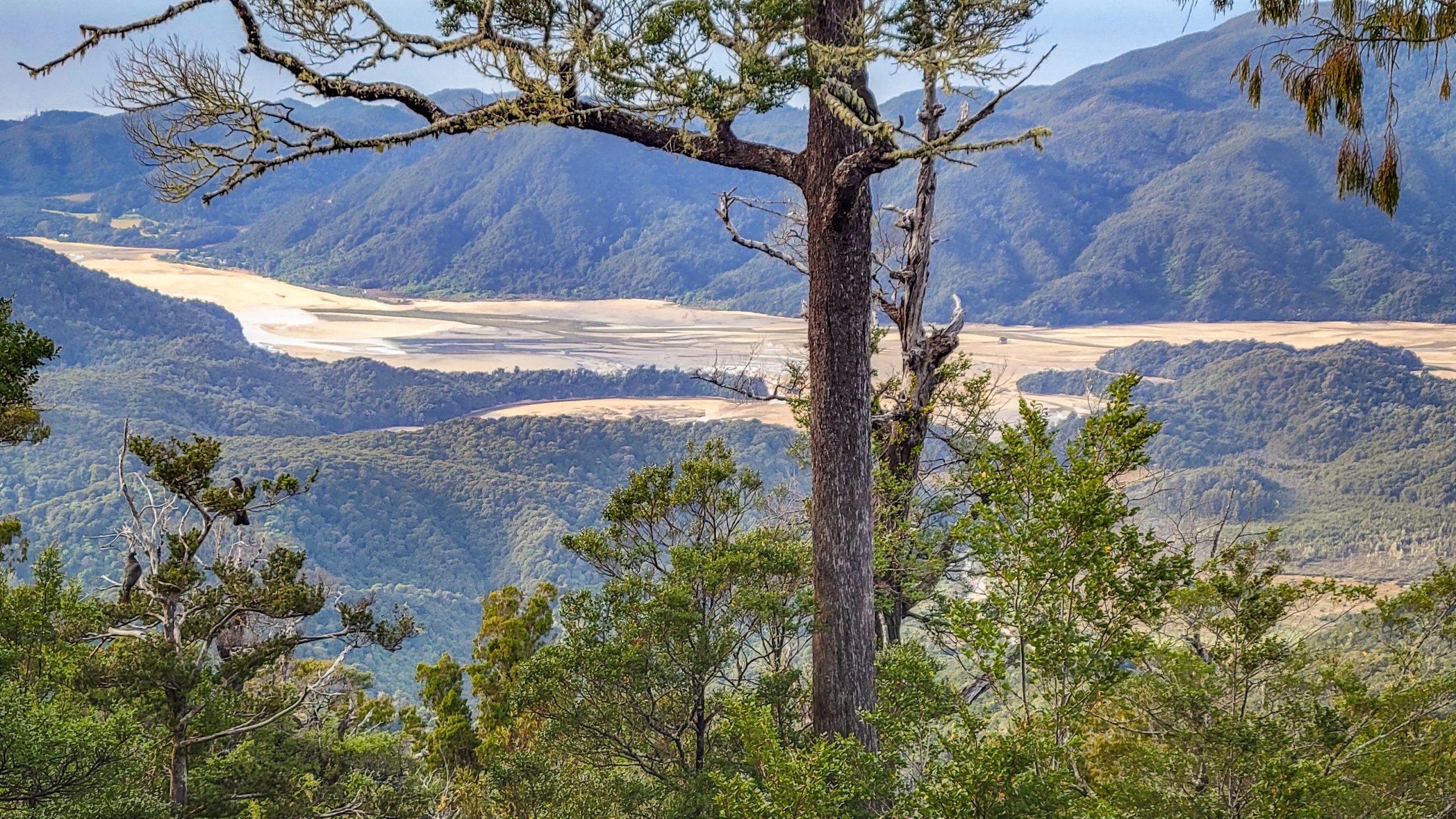
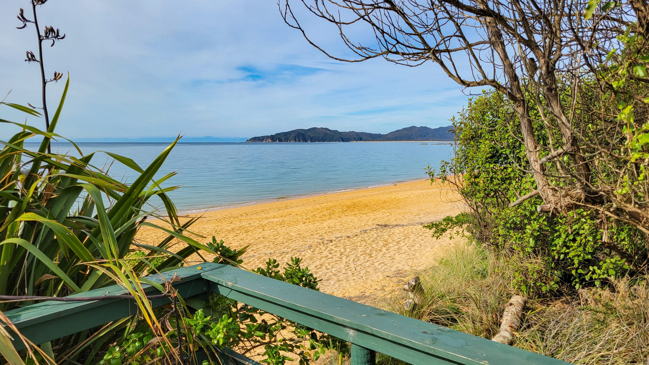
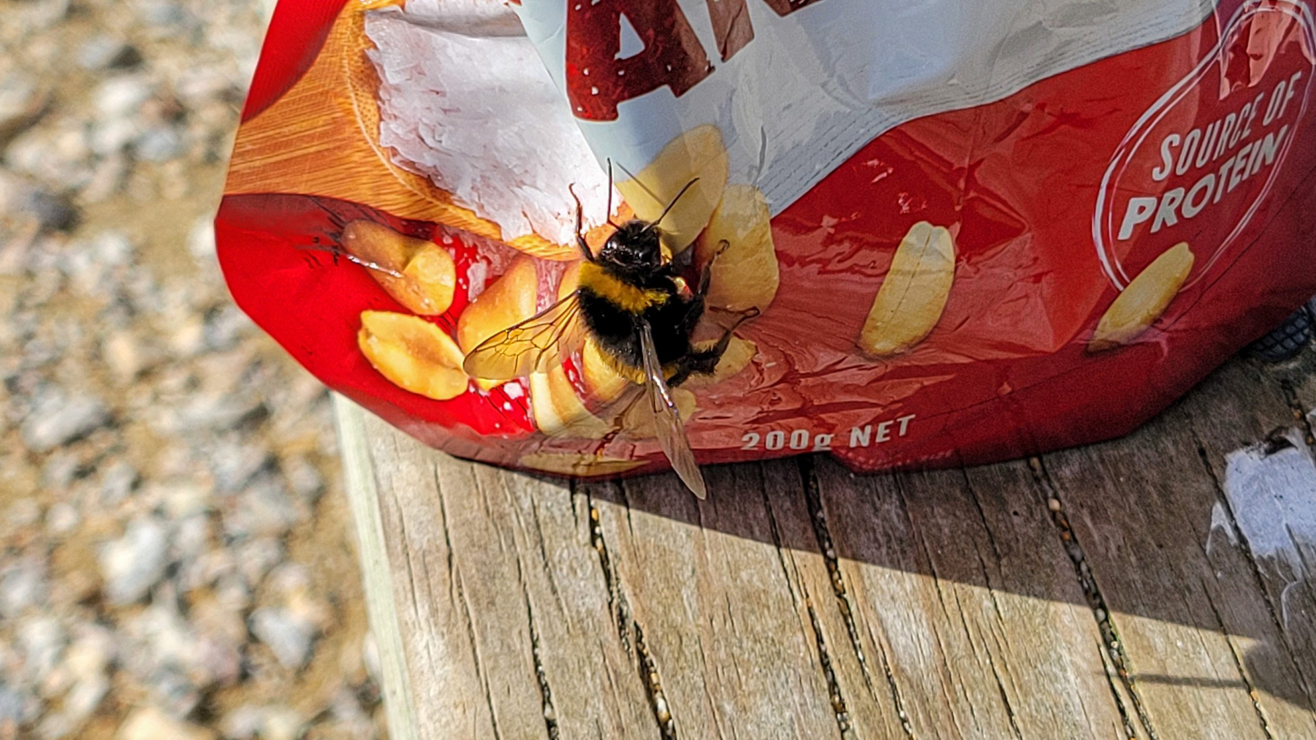
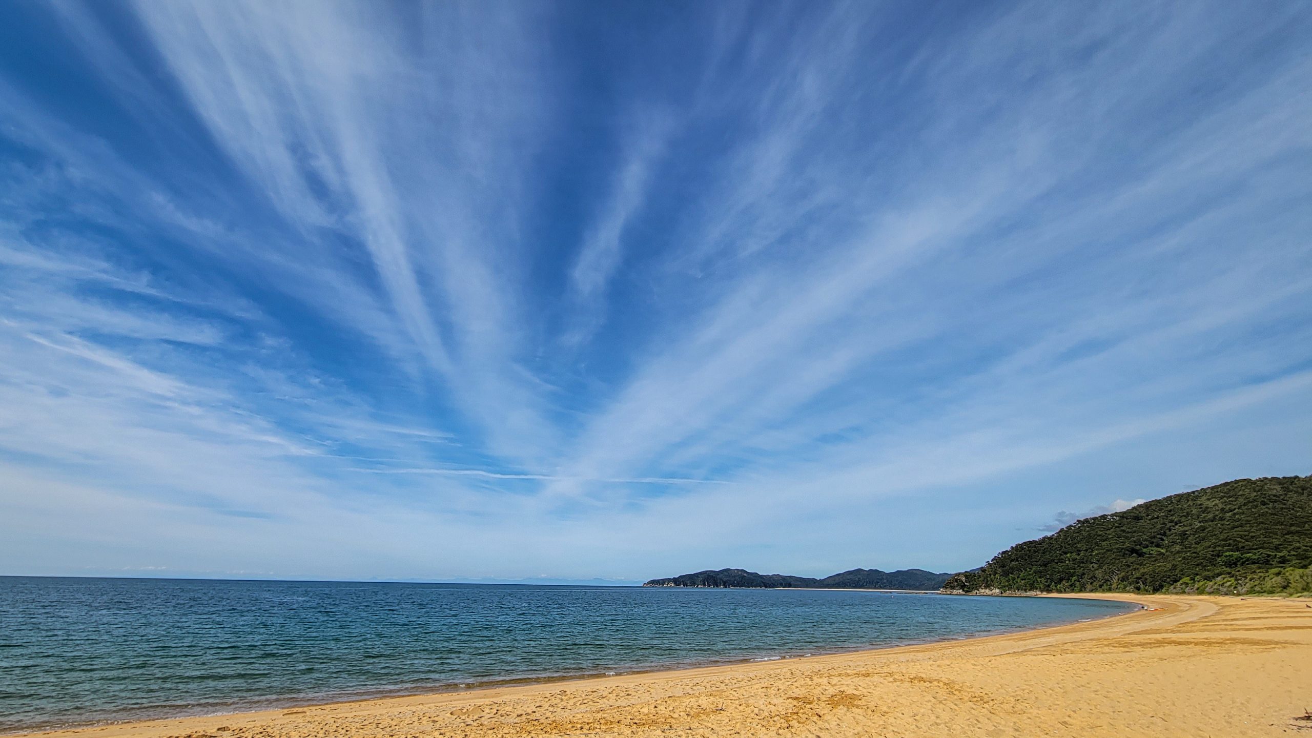
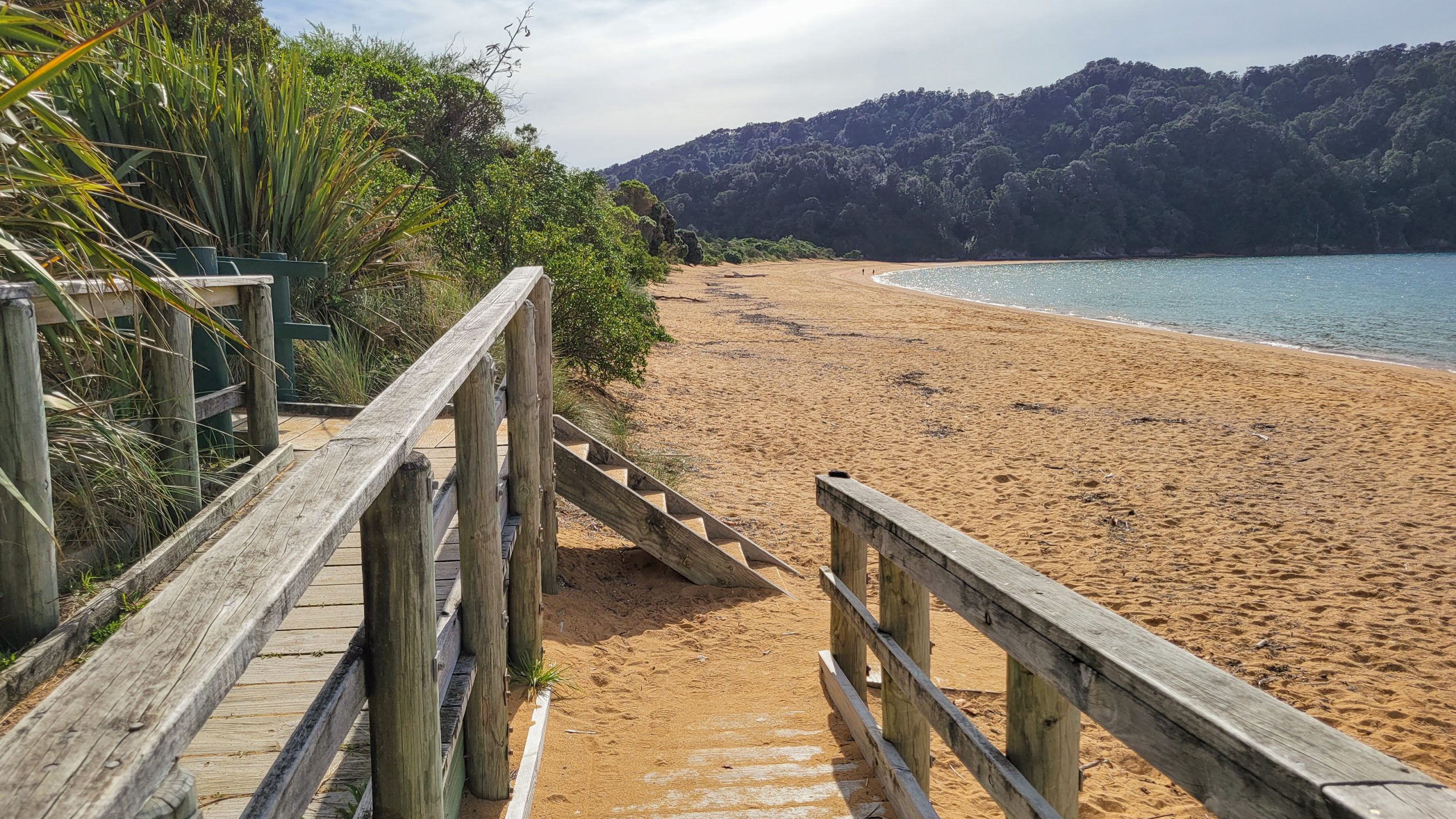
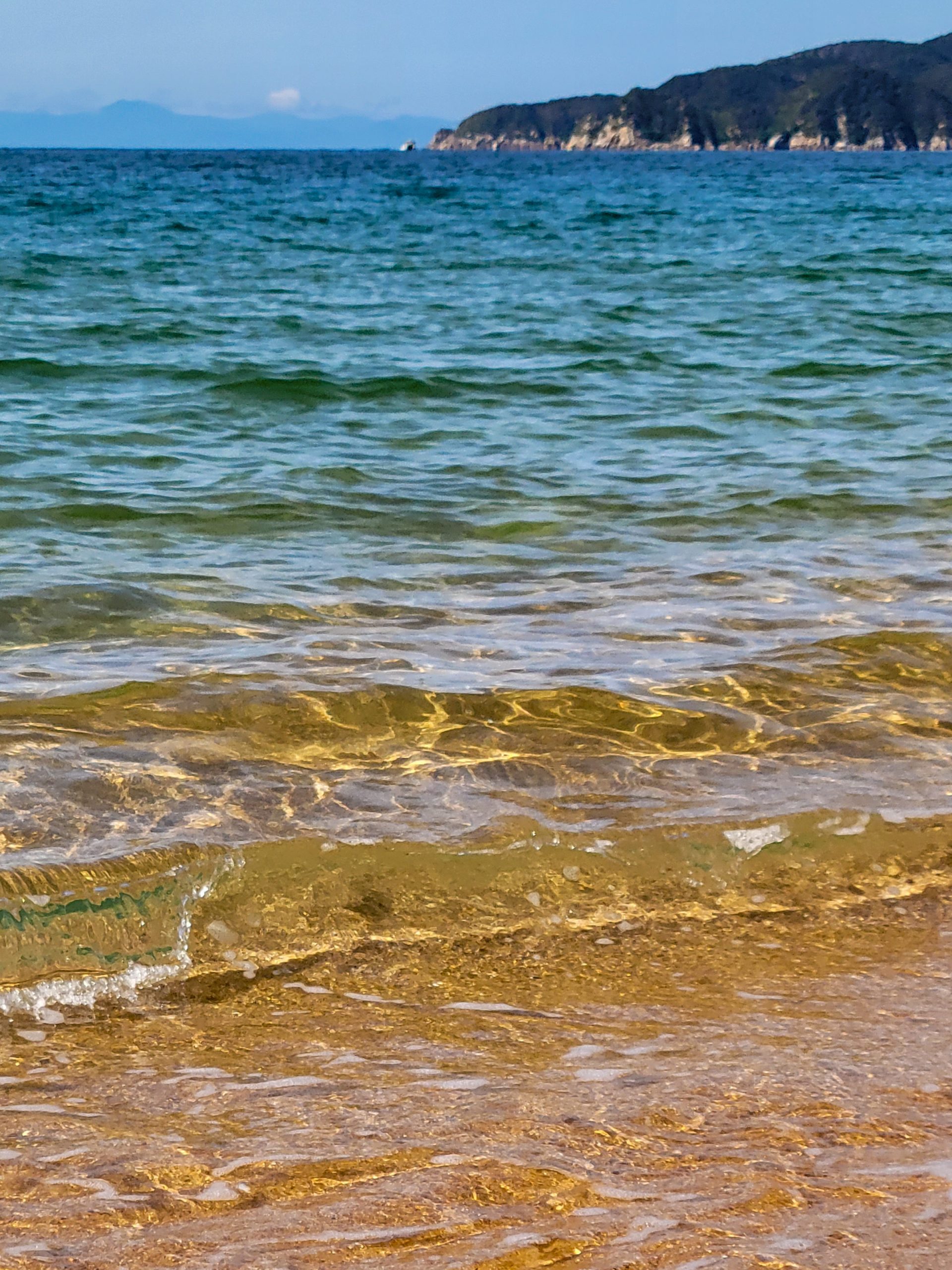
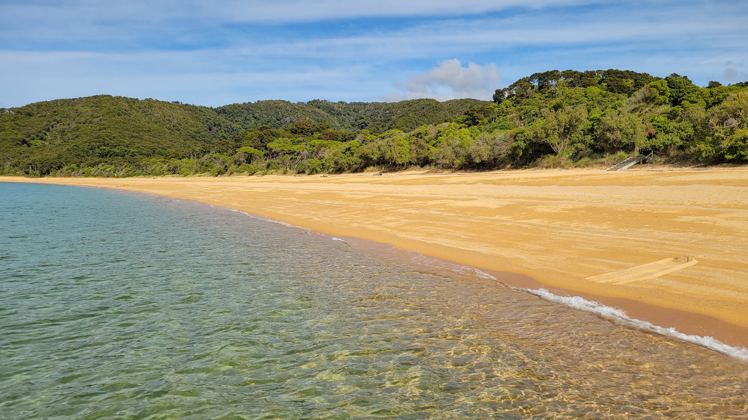
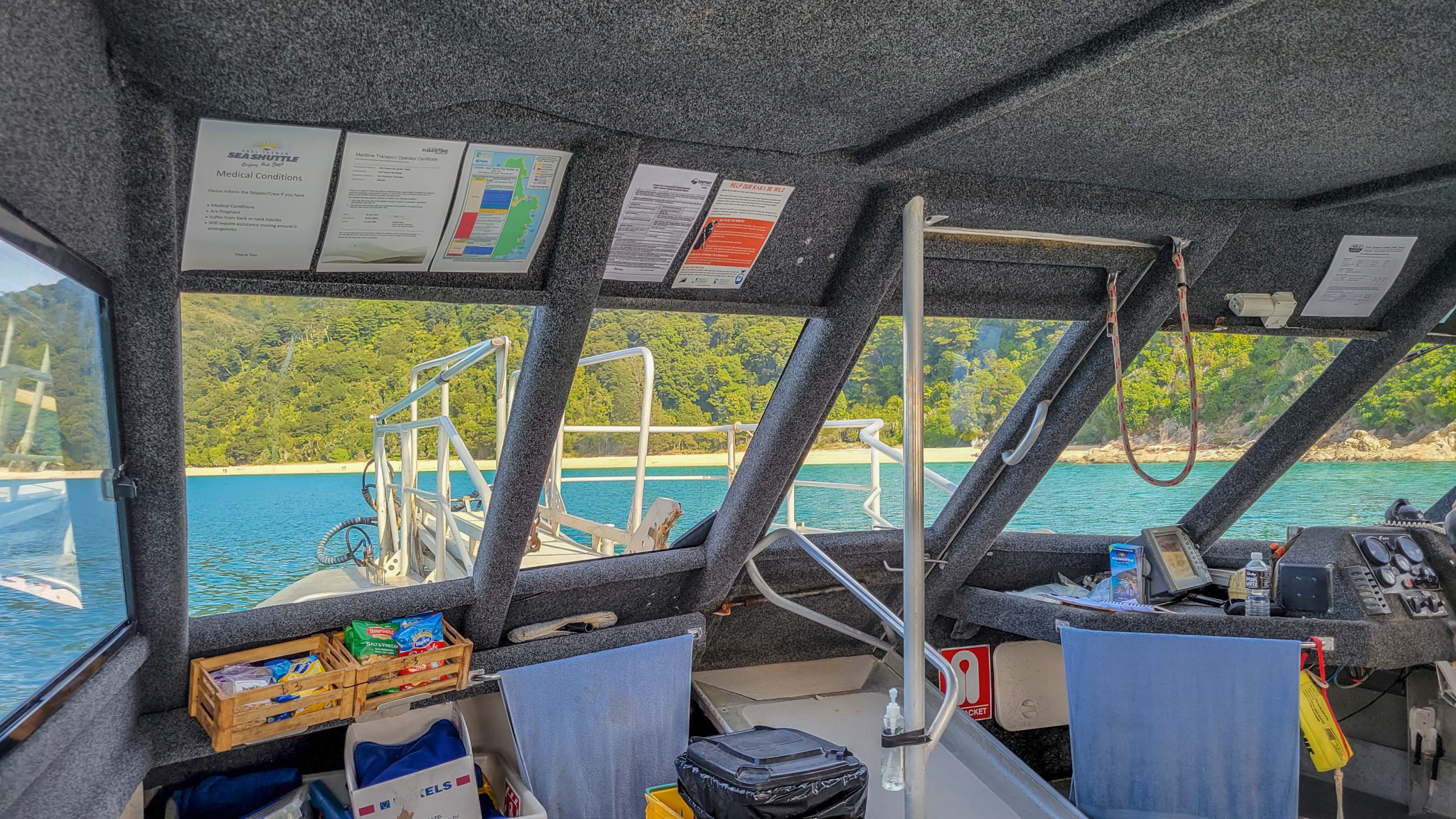
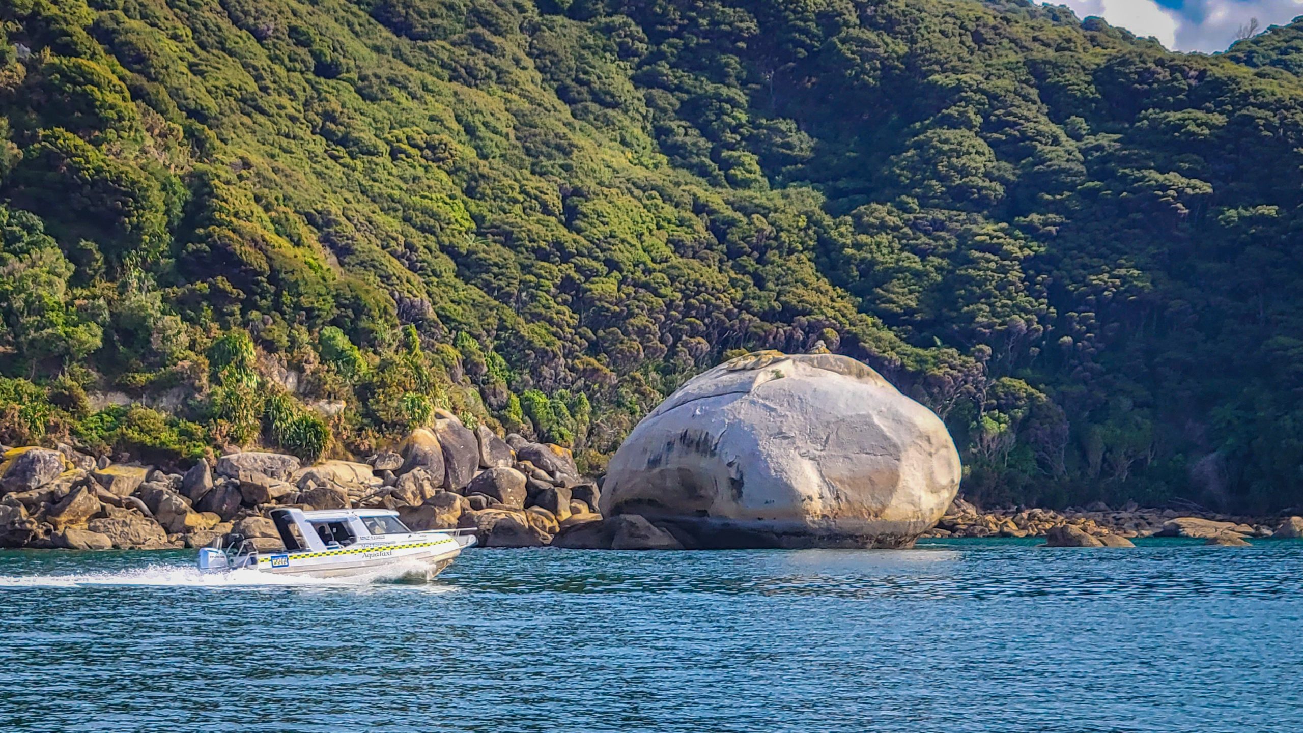
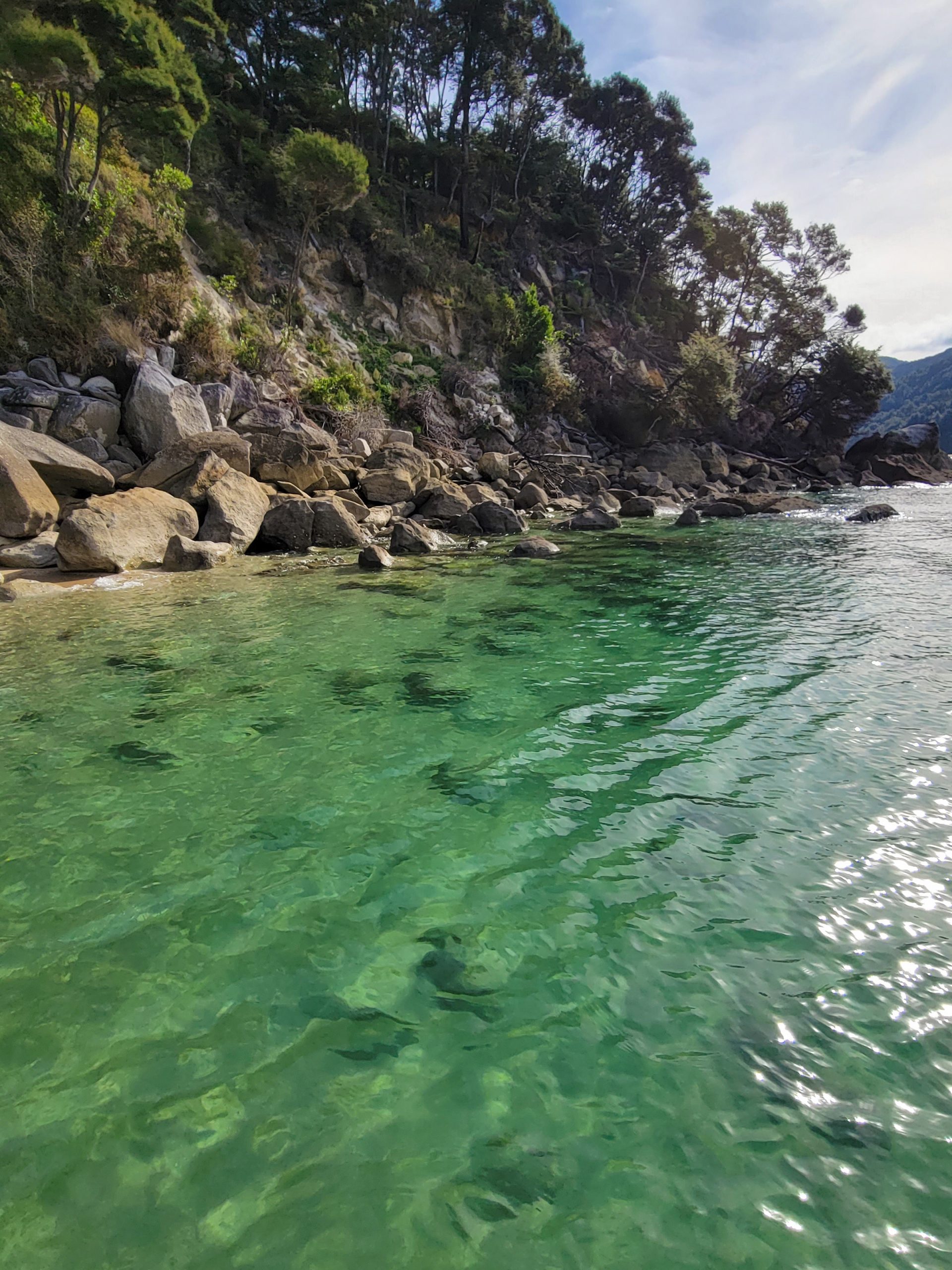
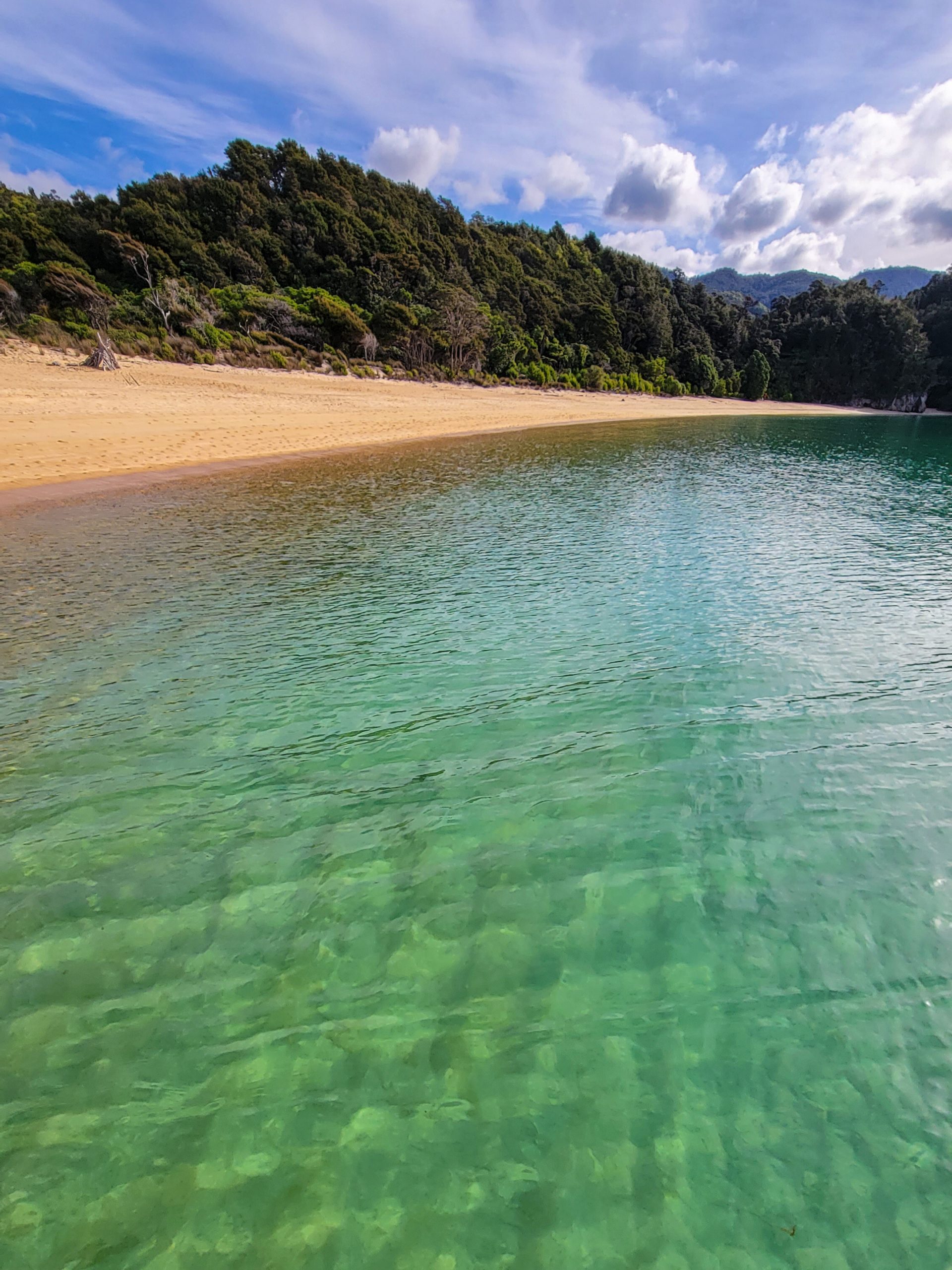
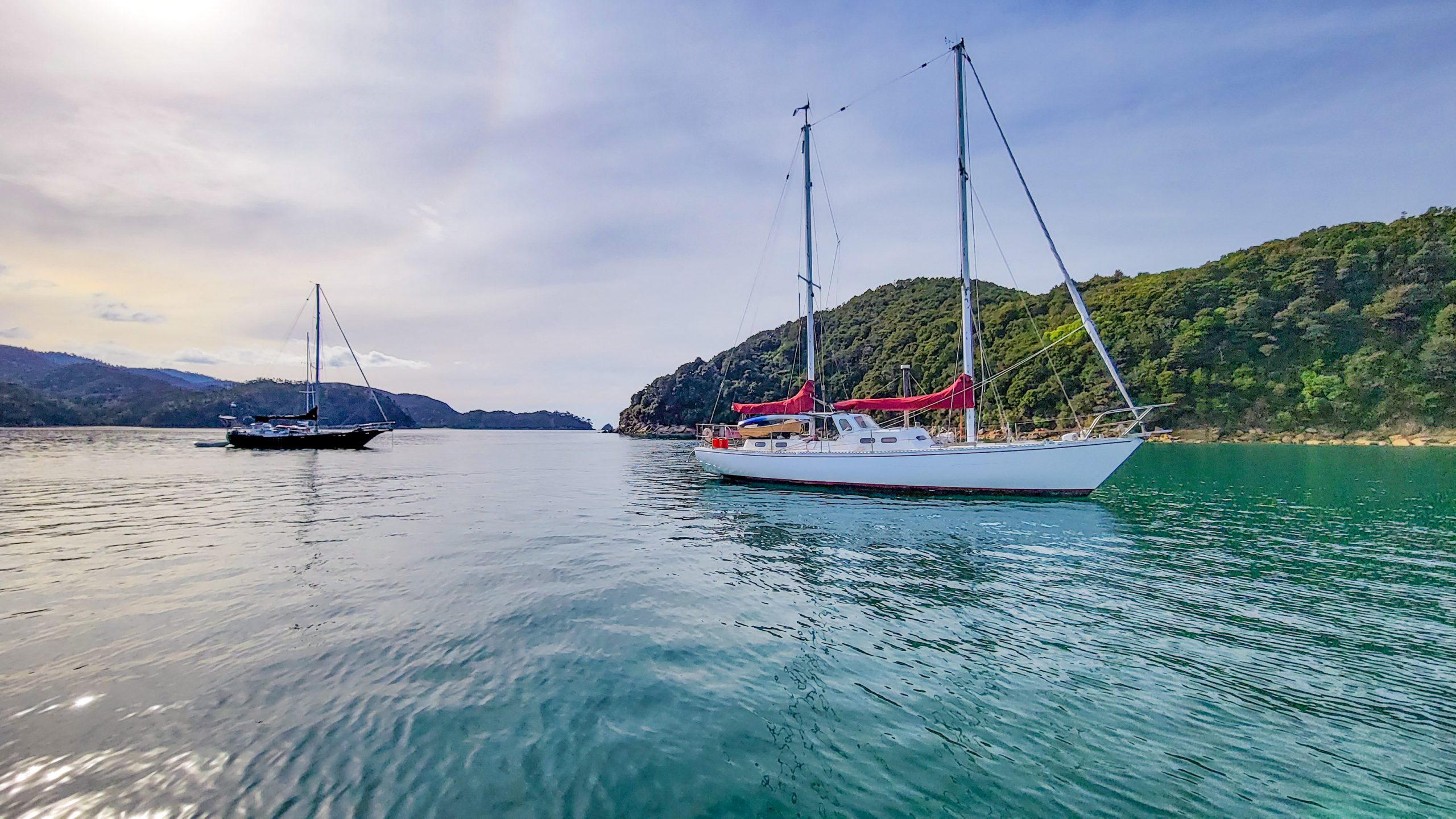
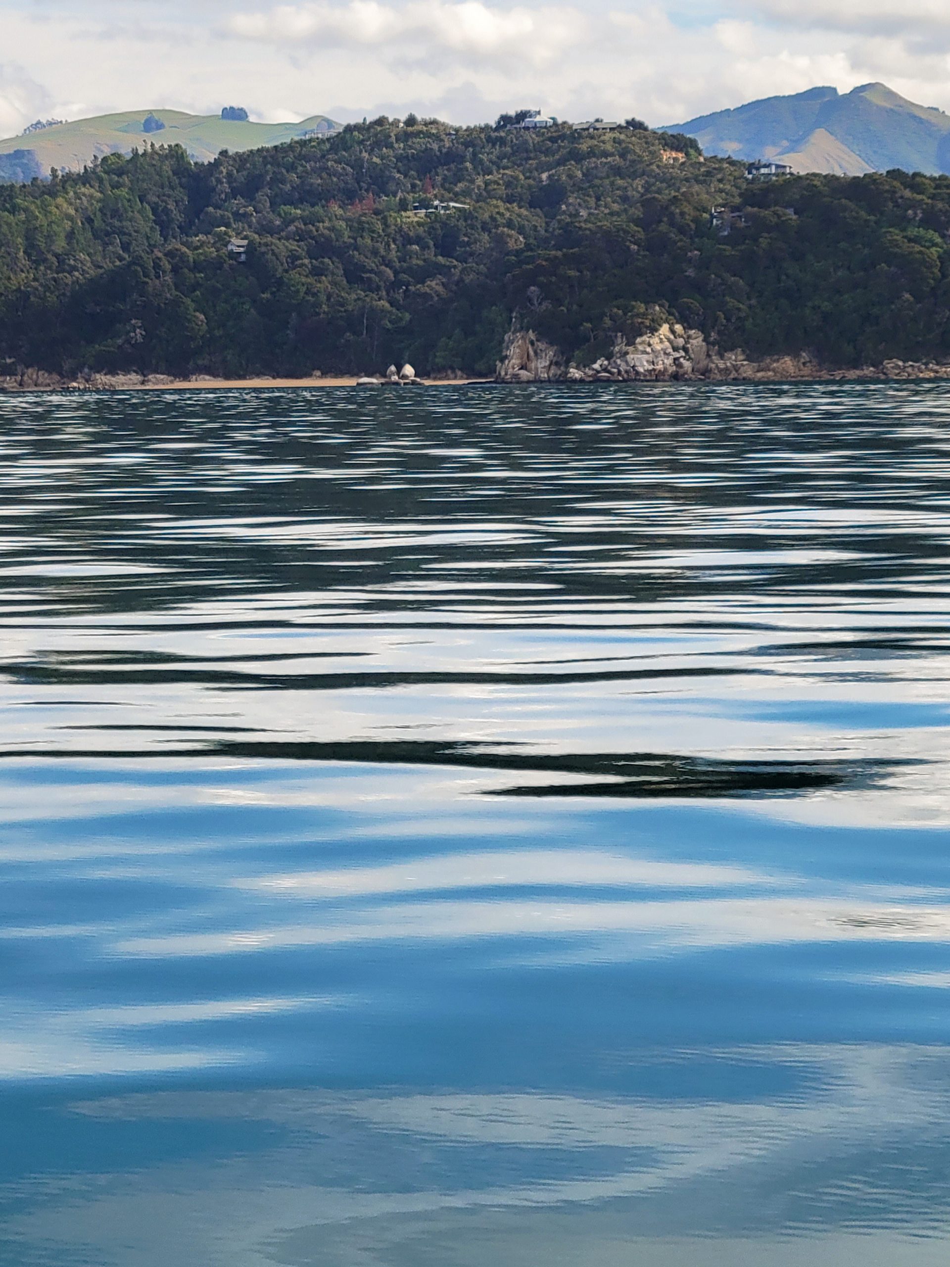
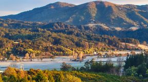
Good Morning, Abel Tasman! Waking early because the calculated 7 hours will be just half an hour early for my boat at 2:30 pm.So dark at 7 am I need my head lamp to see the signs, the markers, the path.Hoi, sun!The track falls down like a stone after the hut. I had the hope it would be easier downwards, but the contrary is true.It’s like a field of car tyres and you gotta jump from one to another to carry on.The hourly tree climb.WOW! First look into Wainui Bay, never gets old!The ridge line I’m walking on is dense grass, gorse, black berries and the odd weka.Golden Bay.Down it goes. But just for now, the elevation profile for the walk tells me there’s some ups coming as well.Did I think that aloud?I don’t want to complain but … I’m on my last legs!It’s beautiful here. I wish I was in a better form, physically.Doesn’t seem fair to the ferns, but some of these nicked leaves might have saved me from straying.Path broadens again, but my eyes keep being peeled for markers ;)These guys.Without them, it would be lonely. Started an acknowledging routine when I saw one (snipping fingers or muttering an acomplished “okay” :)Lookout rock to the South East.That must be Awaroa. Can’t see if someone’s doing the crossing right now.Down, down, down.Entoloma hochstetteri (werewere) in its perfect blue.Have lost count of times I slipped or nearly fell. 3 times I fell hard, once down here somewhere. Should have brought an emergency beacon, really.Reaching Pigeon Saddle. Totaranui Road with the occasional tourist cars is right at my grasp! I can’t believe it. My back really hurts and I’m so lucky to hitch a ride down to Totaranui. That would have been another 3 hours without a sprained back… I would never have made it in time for the boat. Thank you, Aurore & Adrien for driving the extra mile.Was able to move my pickup shuttle to an earlier boat… enjoying the campsite comfort of Totara the beautiful.These guys were just starting a walk to Whariwharangi, also one of my alltime favorites.Another one interested in my peanuts? Not allowed to share! ;)Such a relief to have made it in one piece. From here, it’s just letting the landscape flow past.Beach access at Totaranui.Looking at the waves … oh, that’s my ship making an appearance on the horizon!Crazy luxurious having a taxi home like this :) Sharing my ride with a pack of Project Janszoon volunteers and a few tourists.One of the smaller sea shuttles, fitting for the season.Awaroa, seen from the shuttle.The not-yet-split apple and a crossing water taxi.Clear waters of the Tasman Bay.Astonishingly I’m not too tired, this is one of the most beautiful boat tours I’ve had in the park so far :)Anchorage.The actual split apple and an extremely mellow Tasman Sea. Home soon :)
Summary:
Favourite Beach: Totaranui (that was easy!).
Worst Camp: None, the huts were fabulous and I enjoyed both of them immensely.
Best item on hike: The big powerbank that enabled me to be in contact with the outside world whenever reception was available.
Worst item: My legs!
Do better in the future:
Prepare (even) better, think about taking an emergency distress beacon.
Be in better shape.
If staying in DOC backcountry huts, it might come handy to bring candles and fire starters.
Cheers! E.
A few sidenotes:
DOC lists this walk as “advanced”. It is. Also it is so much harder than I thought in other ways I could have ever fathomed. If you seek adventure, this might be boring, but it could also cost your life. On wilderness tramps, always take an emergency distress beacon. It’s registered and if necessary a team can be dispatched to come get you! Nevertheless, it is also recommendable to bring an emergency shelter that would allow to survive a night.
It’s a summer walk. Any other season is not dry enough, river crossings or even the normal swampy path can be challenging and slow you down or wet you and your bag completely.
Water is scarce on Evans Ridge, aqua tabs or life straw are good to have since Giardia has been found in streams and water cylinders at huts.
Evans Ridge is notoriously known to have random snow events, also in spring and autumn, always bring warm clothes as well.
The Inland Track is not only sheltered but lacks light, especially in the winter months. It’s much more relaxed in summer, when you can start really early and take your time, arrive late at a hut without needing to grab a headlamp.